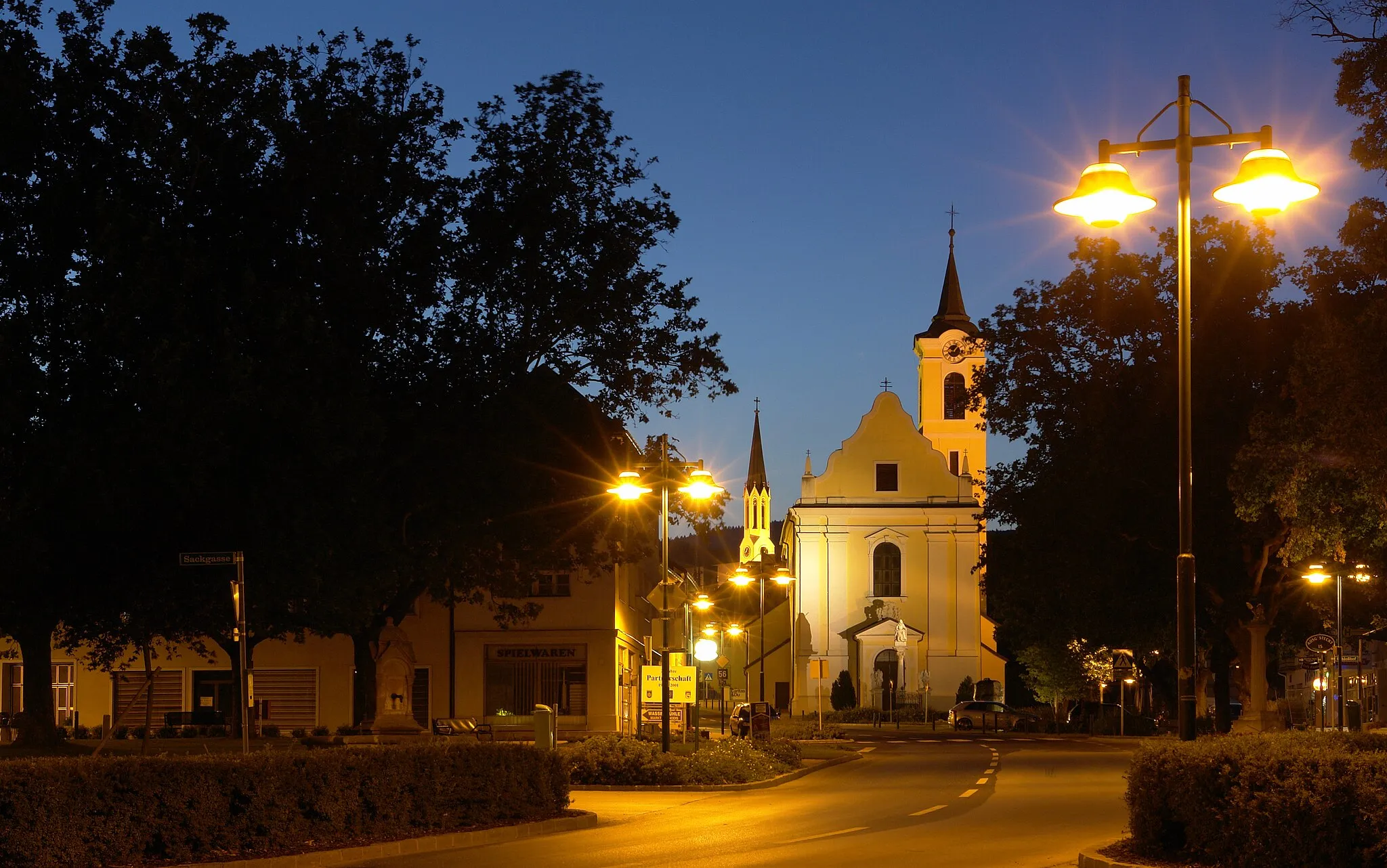
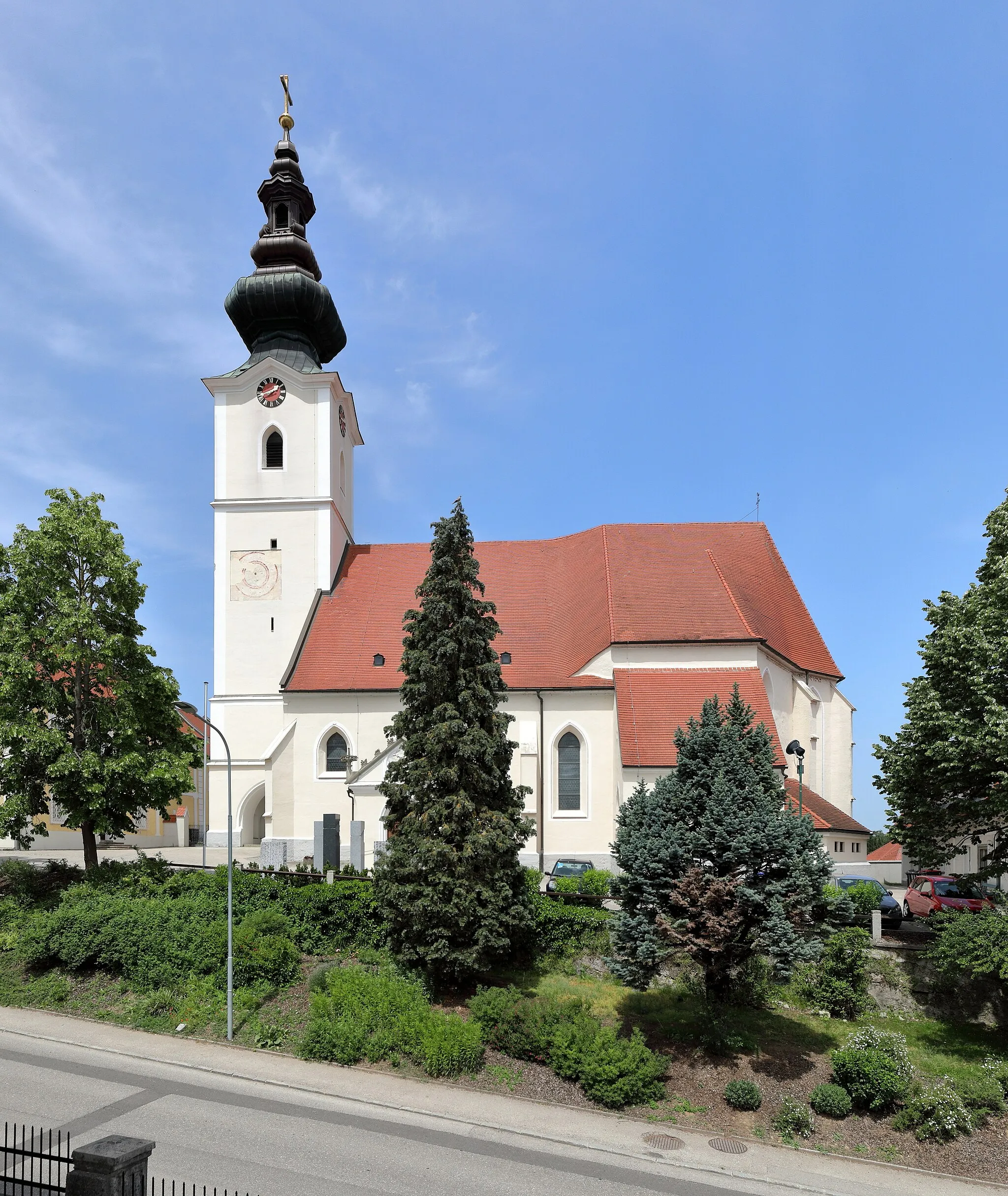
Cycling paradise in Niederösterreich
Cycling routes from Mauer bei Amstetten
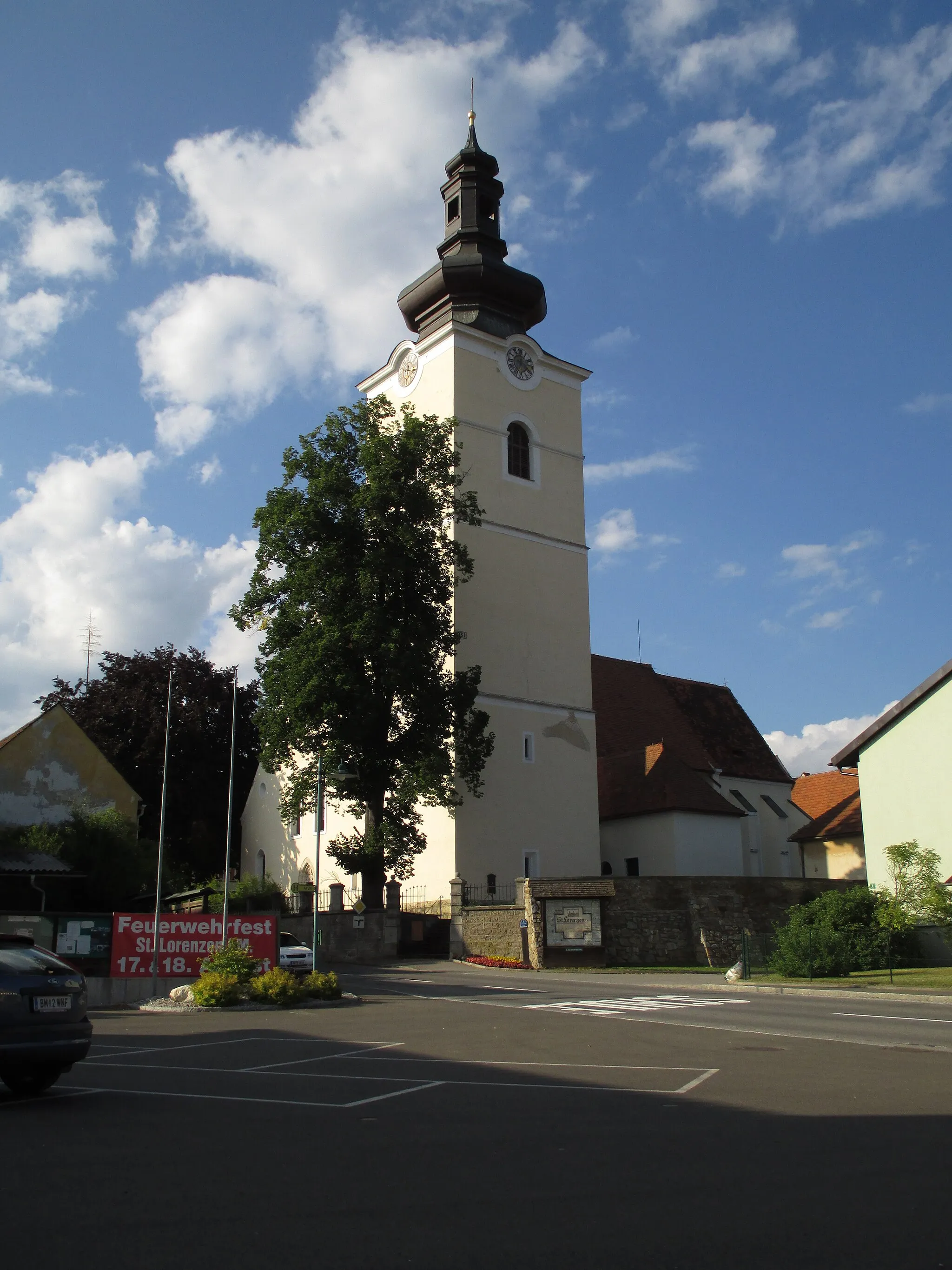
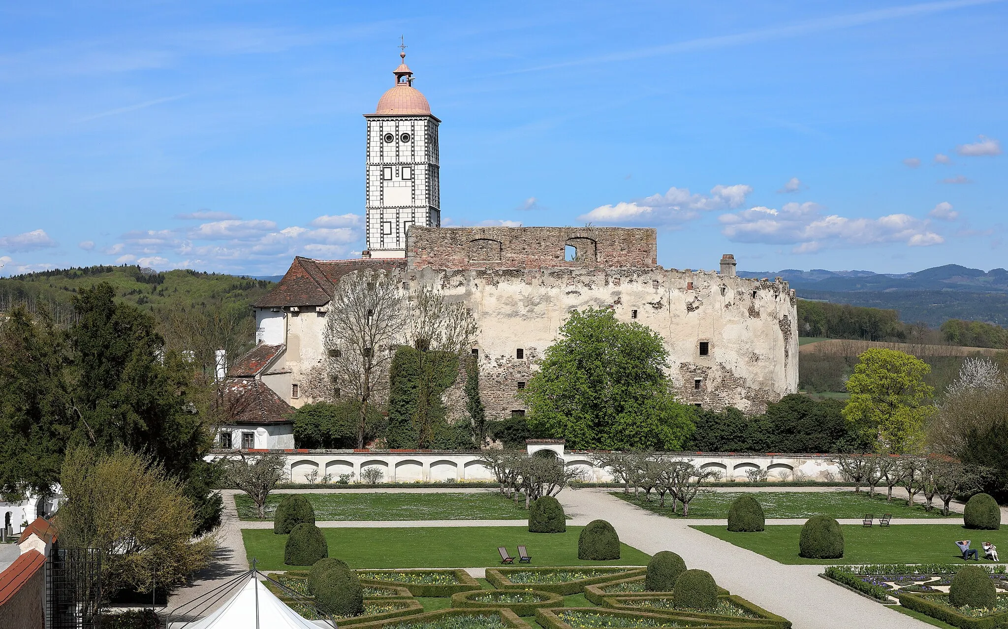
Mauer bei Amstetten, situated in Niederösterreich, Austria, is a fantastic locality for road and gravel cycling. The region is known for its diverse landscapes, featuring rolling hills, vineyards, and picturesque villages. Cyclists can enjoy scenic rides on well-paved roads, exploring the charming countryside while taking in stunning views. Mauer bei Amstetten is also within close proximity to famous cycling climbs, such as the Vetterhöhe, which challenges riders with its steep gradients. With its mix of natural beauty and challenging routes, Mauer bei Amstetten is a popular destination among cyclists.
Explore the scenic Danube Valley with breathtaking views and charming villages along the way.
This route takes you through the picturesque Danube Valley, offering stunning views of the river and passing by charming villages. With a total distance of 130 km and an ascent of 1881 m, it is not too challenging for a well-trained amateur cyclist. The route is also popular among road cyclists due to its smooth roads and beautiful surroundings. Experience the charming Ardagger Markt, enjoy the panoramic view from Donaublick, and visit historical highlights such as the Hexenturm (Witch Tower) in Steinakirchen am Forst. The Donau Classic is a perfect choice for cyclists who appreciate natural beauty and cultural heritage.
Journey through picturesque landscapes on the Aschbach-Markt road cycling route.
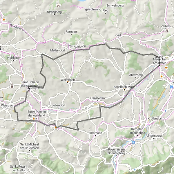
This 47 km road cycling route, with an ascent of 533 meters, presents opportunities for scenic enjoyment along the way. Discover the charm of Aschbach-Markt just 5 km into the route, followed by a delightful stop at the Seitenstetten abbey at 16 km. Enjoy breathtaking views from Up8060Response.
The Amstetten Hills
Discover the beautiful hills near Mauer bei Amstetten
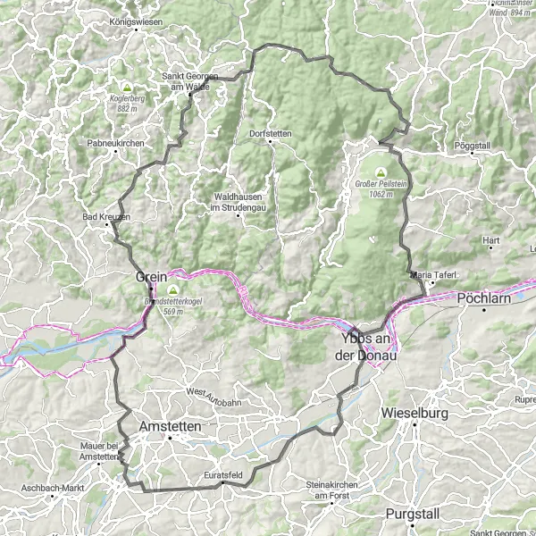
This route takes you on a journey through the stunning hills near Mauer bei Amstetten. With a total ascent of 1886m and a distance of 121km, it's a challenging ride for well-trained amateurs. As you cycle through the countryside, you'll be treated to picturesque views and quaint villages. The route includes several highlights, such as the Zeillern and Gipfelstein landmarks. Be sure to stop at Riedersdorf, a charming town known for its historical buildings and friendly locals. In Dorfstetten, take a moment to admire the peaceful surroundings before continuing your journey towards Totenkopf, Schloss Rorregg, and Schloss Persenbeug, where you'll find fascinating history and architectural beauty. Burgstaller Kogel offers panoramic views and a great photo opportunity, while Ferschnitz and Neuhofen an der Ybbs showcase the region's natural beauty. Overall, this route offers a mix of challenging climbs, scenic landscapes, and cultural experiences.
Embark on an unforgettable journey through history along the Wallsee Castle road cycling route.
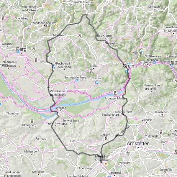
Covering a distance of 91 km with an elevation gain of 1541 meters, this road cycling route promises an experience filled with historic charm and enticing natural landscapes. Suitable for well-trained amateur cyclists, the route offers a pleasant challenge throughout. Capture panoramic views at Hummelberg after 13 km, and don't miss the chance to indulge in the grandeur of Schloss Wallsee at 14 km. Keep exploring and discover the cultural significance of Perg at 29 km and the impressive Zigeunermauer at 48 km. Immerse yourself in the beauty of Grein at 70 km and reach the pinnacle of your journey by visiting Gipfelstein at 71 km. Finally, complete your adventure at Zeillern, striking with its rich history, at 87 km.
Experience the beauty of nature along the Wallsee road cycling route.
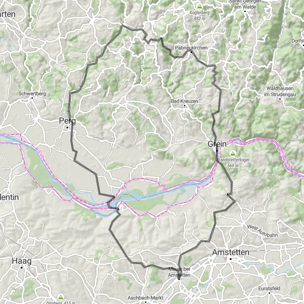
This road cycling route spans 69 km, ascending a total of 1053 meters, providing ample opportunities to connect with nature. Admire stunning landscapes, visit Schloss Wallsee at 14 km, and savor the charm of Arbing at 24 km. Continue on to Koppler Föhre, a unique tree at 31 km, and explore Bad Kreuzen, offering a mix of history and natural beauty at 43 km. Further challenges await at Gipfelstein at 51 km, reaching the highest point of the route, and Zeillern at 65 km, providing a wonderful blend of historic charm and fantastic vistas.
The Urltal Road Cycling Route
Discover the scenic beauty of Urltal on this road cycling route near Mauer bei Amstetten.
Enjoy a 59 km road cycling adventure through picturesque landscapes, with a total ascent of 1248 meters. This route offers stunning views along the way and provides a moderate challenge for experienced cyclists. As you cycle through Urltal, marvel at the natural beauty surrounding you and take a moment to relax at the charming Hochkogel after 19 km. Embrace the challenges offered by Änsberg at 25 km, St. Leonhard am Wald at 40 km, and Kogel at 45 km. Finally, finish your journey at Hexenturm, a historical landmark located 55 km from the starting point.
The Enchanting Ybbs Valley
Cycle through the enchanting Ybbs Valley and discover historic sites and natural beauty along the way.
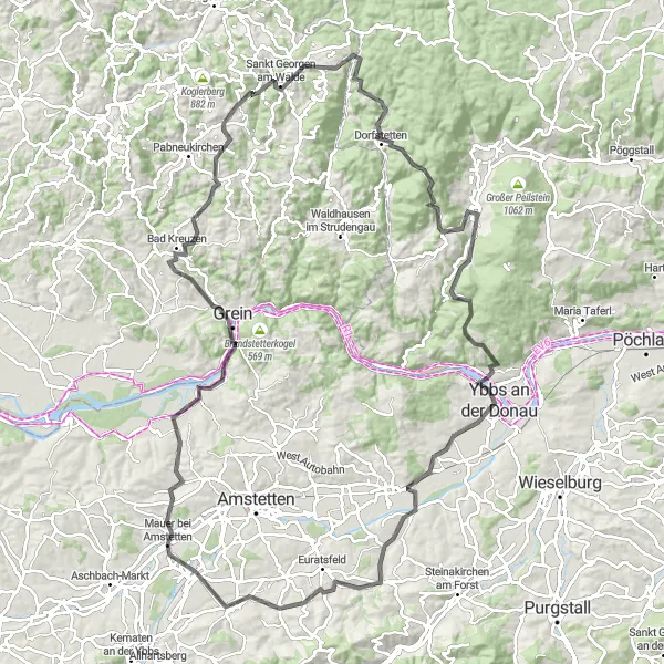
The Enchanting Ybbs Valley route takes you through the picturesque Ybbs Valley, where you can explore historic sites and enjoy the stunning natural beauty of the region. With a total distance of 66 km and an ascent of 948 m, it is a manageable route for an amateur cyclist. Experience the charm of Ardagger Markt, visit the Gipfelstein viewpoint for panoramic views, and explore the beautiful Grein with its impressive castle. The route also includes a visit to the Ruine Freyenstein, an enchanting castle ruin with a fascinating history. The Enchanting Ybbs Valley route offers a perfect balance between cultural heritage and natural beauty.
Embark on the ultimate alpine cycling challenge with breathtaking climbs and stunning mountain scenery.
The Ultimate Alpine Challenge is a route that takes you through the heart of the Austrian Alps, offering breathtaking climbs and stunning mountain scenery. With a total distance of 109 km and an ascent of 2135 m, this route is suitable for experienced cyclists seeking a challenging adventure. Explore the charming Neuhofen an der Ybbs, marvel at the Tatzberg viewpoint with its panoramic view of the surrounding peaks, and conquer the challenging Hoferberg climb. The route also includes a visit to Opponitz, a picturesque village nestled in the valley with a rich history. The Ultimate Alpine Challenge is a must-do for cyclists who are passionate about conquering epic climbs and immersing themselves in the beauty of the mountains.
The Ybbstal Adventure
Embark on an adventure through the scenic Ybbstal Valley, discovering hidden treasures and enjoying picturesque landscapes.
The Ybbstal Adventure route takes you through the scenic Ybbstal Valley, where you can discover hidden treasures and enjoy picturesque landscapes. With a total distance of 88 km and an ascent of 993 m, it is a moderately challenging route suitable for amateur cyclists. Start your journey in the vibrant town of Amstetten, visit the historic Steinakirchen am Forst, and explore the charming town of Scheibbs with its medieval charm. The route also includes a stop at Goganz, a hidden gem known for its natural beauty and peaceful atmosphere. The Ybbstal Adventure offers a perfect blend of cultural exploration and natural discoveries.
Immerse yourself in the beauty of the Amstetten scenic road cycling route.
With a distance of 58 km and an ascent of 518 meters, this road cycling route caters to all levels of cyclists. Experience the charm of Amstetten at 7 km and relish in the tranquility offered by St. Georgen am Ybbsfelde at 13 km. Delight in the scenic views from Burgstaller Kogel at 18 km, and then cycle through Steinakirchen am Forst at 31 km, where history and nature blend seamlessly. Finally, reach Hexenturm at 55 km - a striking landmark with a fascinating story to tell.
Cycling routes nearby:

Nearby regions: