Cycle through the picturesque Wachau Valley
Cycling routes from Sankt Pantaleon
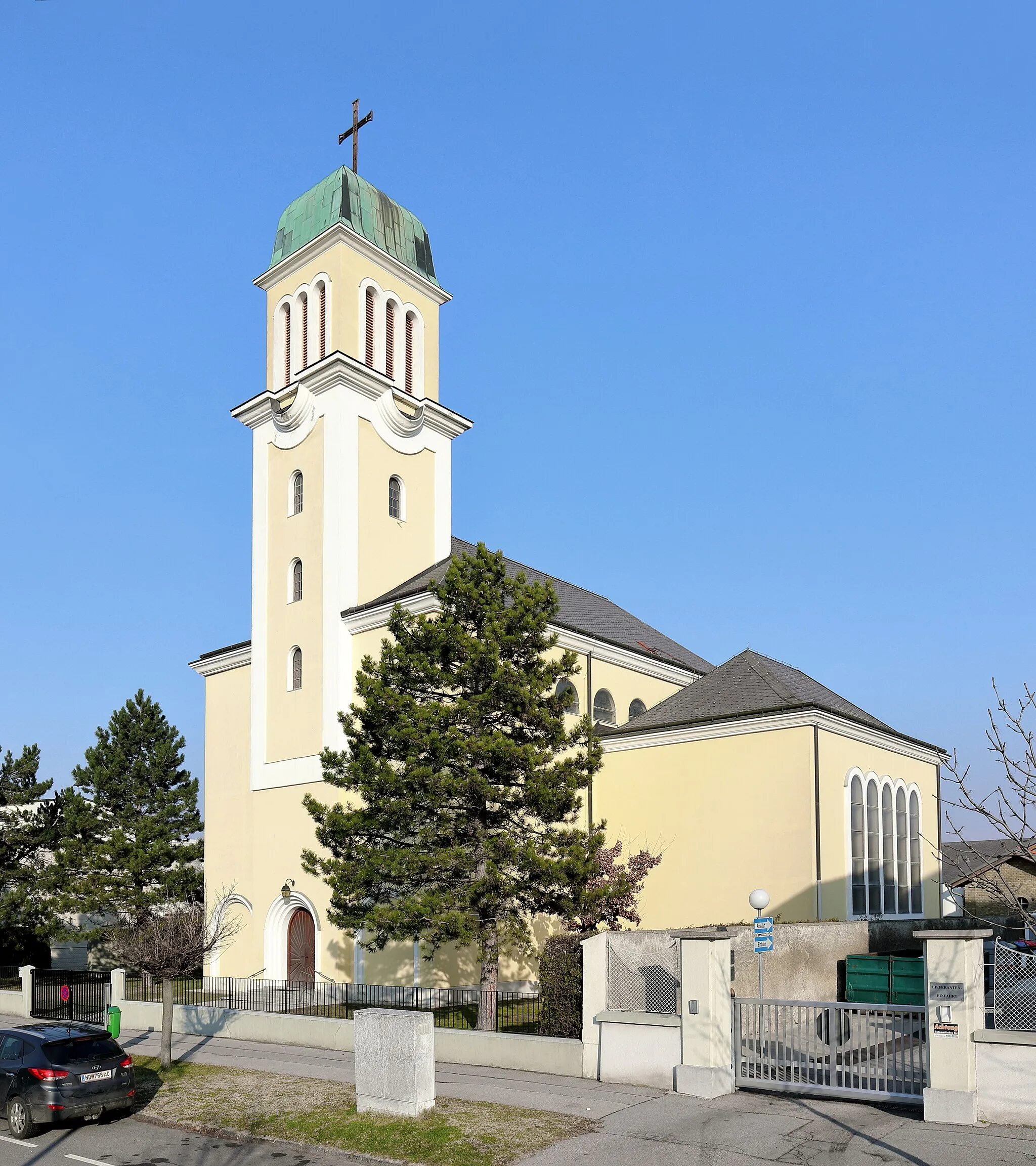
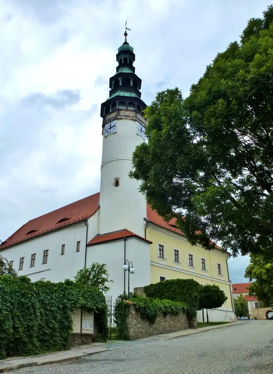
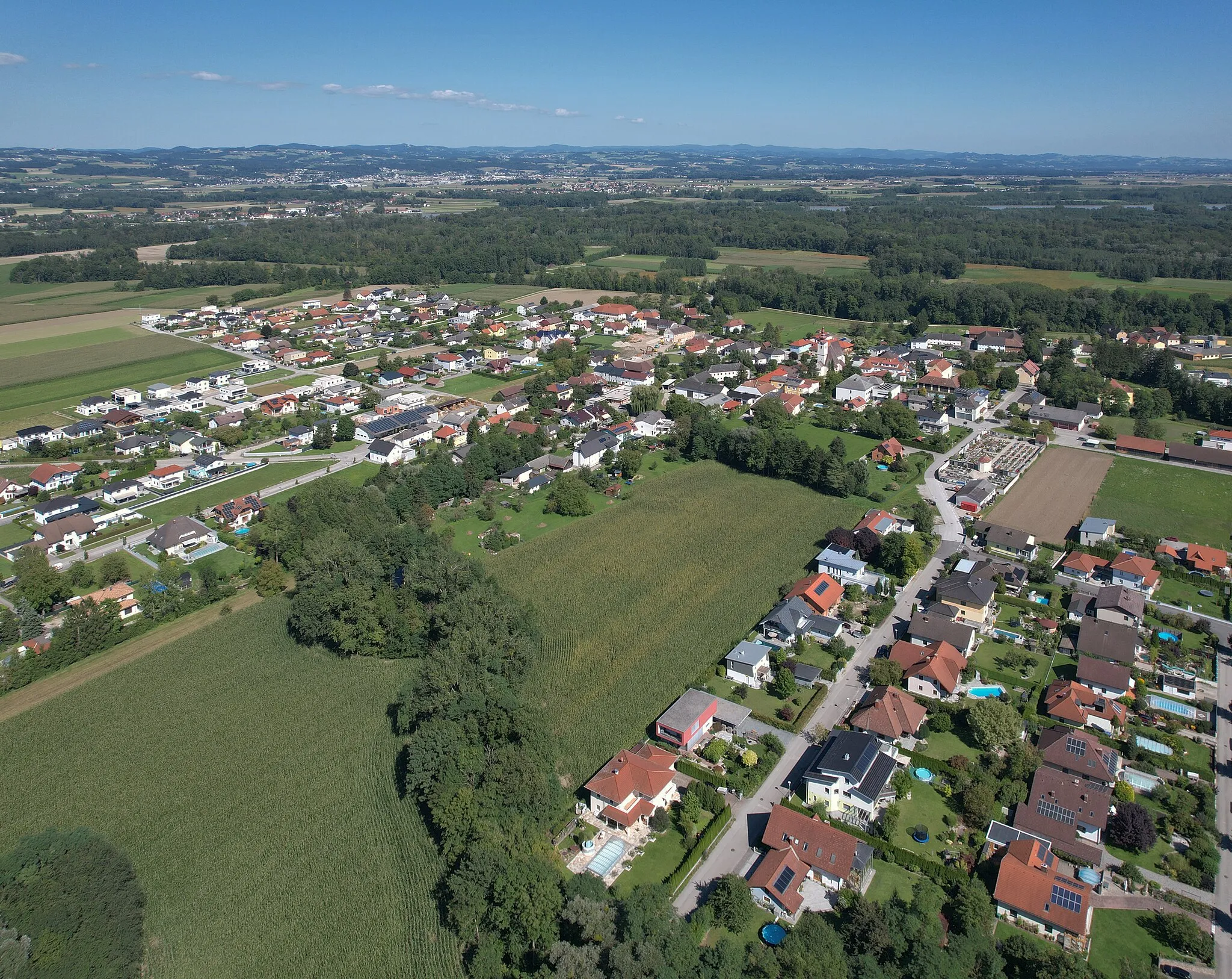
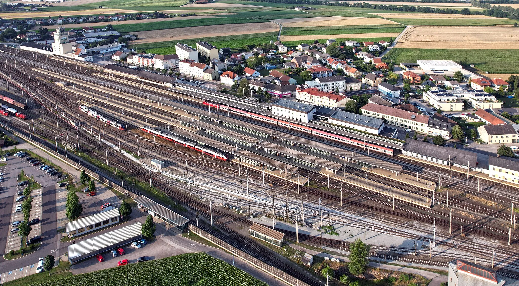
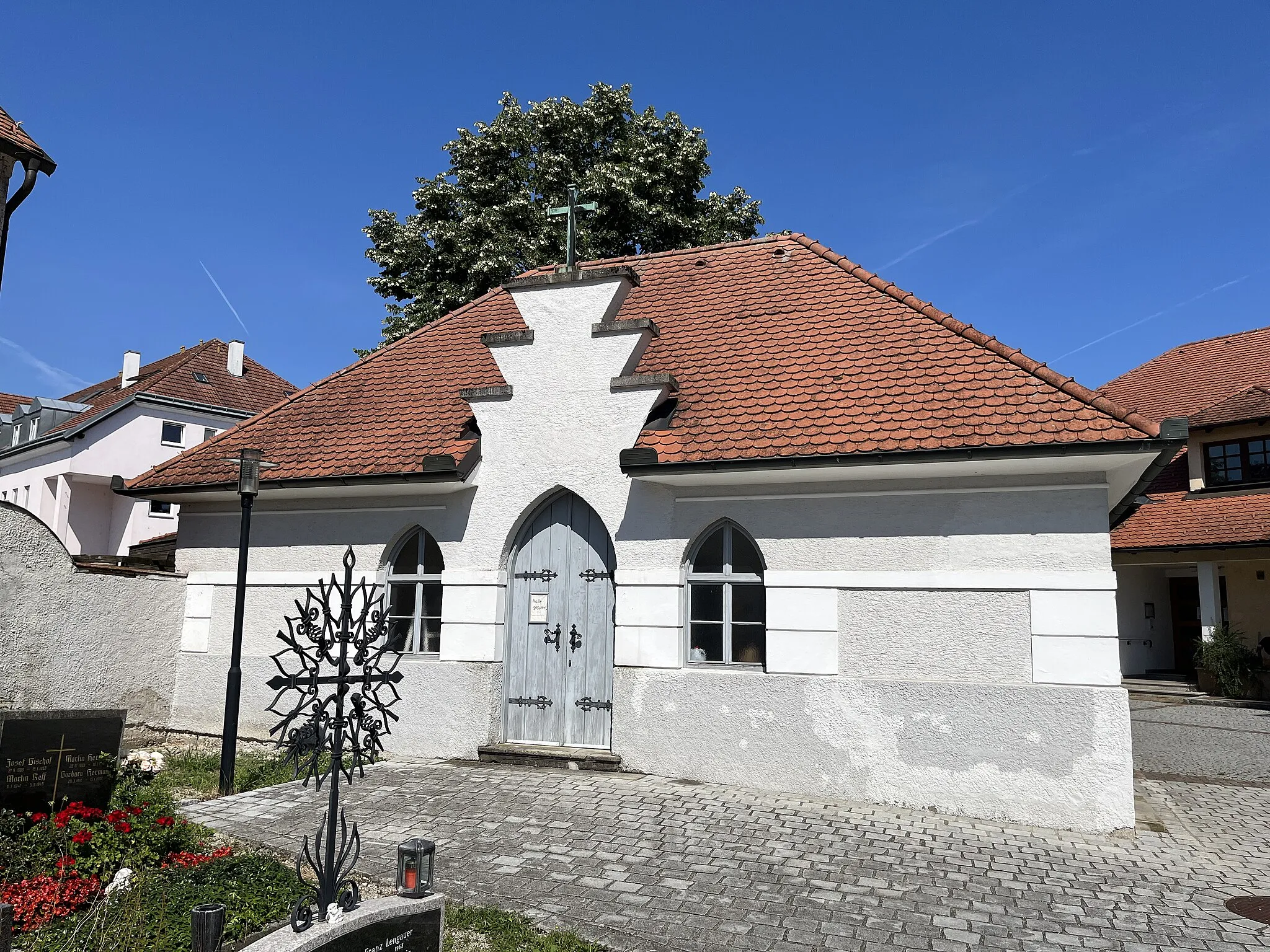
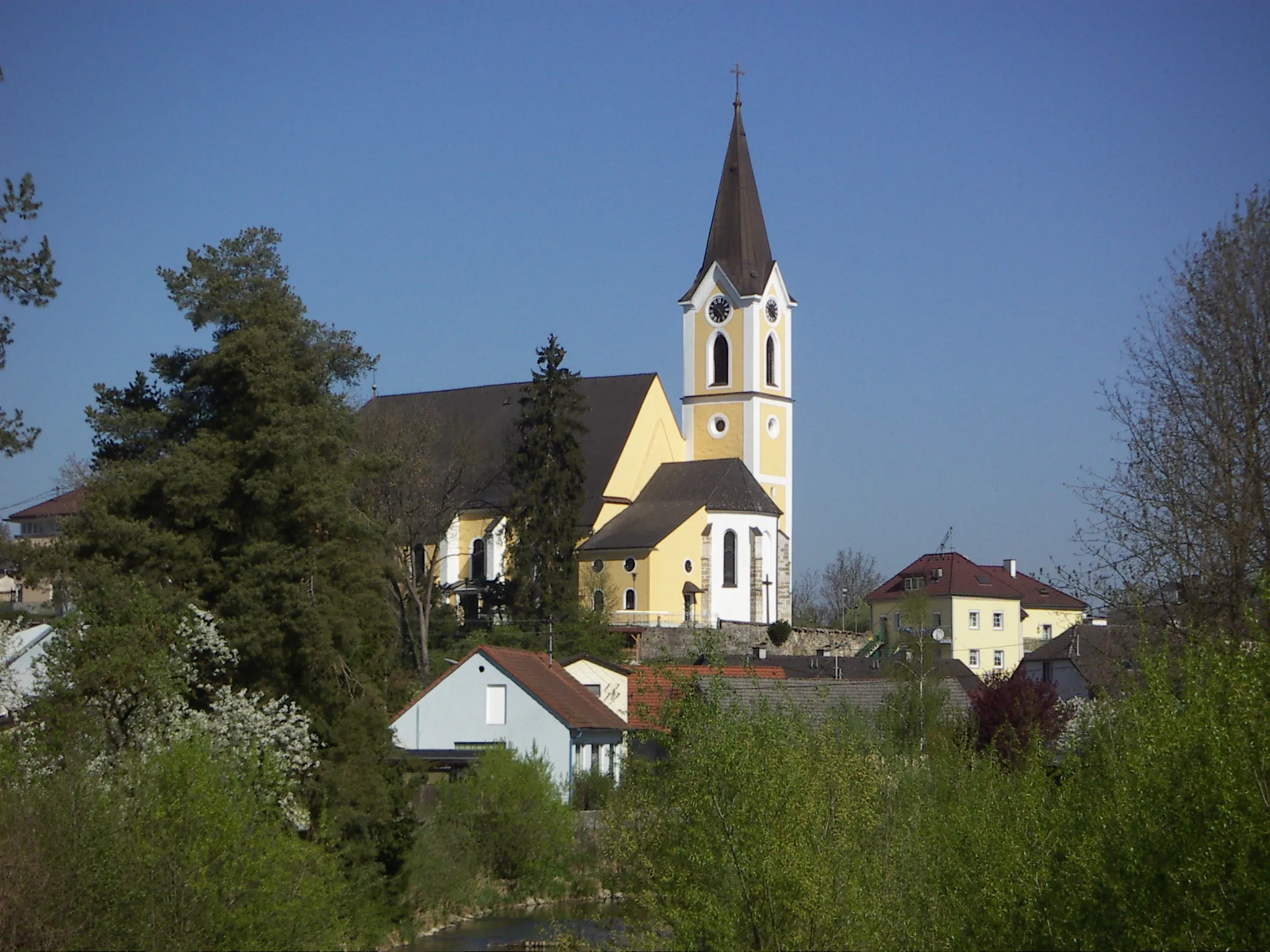
Sankt Pantaleon is a tranquil locality located in the Niederösterreich region of Austria. For road and gravel cyclists, Sankt Pantaleon offers a peaceful and scenic environment to explore. The surrounding landscapes are characterized by rolling hills and charming Austrian countryside, providing a mix of flat roads and moderate climbs. One notable cycling spot nearby is the famous Wachau Valley, known for its vineyards and stunning river views. Whether you prefer road cycling or gravel riding, Sankt Pantaleon is a great base to immerse yourself in the beauty of the Austrian countryside.
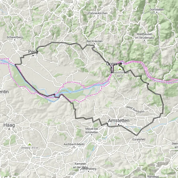
Experience the scenic beauty of the Danube Valley and explore Perg's historic attractions.
This cycling route takes you through the picturesque landscapes of the Danube Valley, offering stunning views of the river and surrounding countryside. Starting near Sankt Pantaleon, the route leads you to Perg, a charming town known for its rich history and cultural heritage. Explore the well-preserved medieval castle and wander around the historic town center. Along the way, you'll also pass by highlights such as Koppler Föhre, a centuries-old pine tree, and Grein, home to Austria's oldest theater. Prepare yourself for a challenging ride with an ascent of 1409 meters over a distance of 101 kilometers. With its epicness score of 4, this route provides a memorable cycling experience in Niederösterreich.

Discover the beauty of Wolfern on this scenic road cycling circular route.
The Wolfern Circular Route is a scenic road cycling route that takes you through the charming town of Wolfern and its surrounding countryside. With a total ascent of 327 meters and a distance of 69 kilometers, this route is suitable for cyclists of all skill levels. The route starts in Sankt Pantaleon and takes you through the picturesque towns of Ernsthofen, Wolfern, Leitnerberg, Schloss Hohenbrunn, Panoramablick St. Florian, and Lorch before returning back to your starting point. Along the way, you'll be treated to beautiful landscapes, rolling hills, and cultural highlights. The Wolfern Circular Route is a great option for cyclists who want to enjoy a leisurely ride while exploring the scenic beauty of the Niederösterreich region.
Enns River Loop
A picturesque route following the Enns River
The Enns River Loop is a scenic cycling route that takes you alongside the beautiful Enns River. With a total distance of 95 kilometers and an ascent of 537 meters, this route is suitable for well-trained amateur cyclists. As you cycle along the river, you'll pass through charming towns such as Stadtturm, Hargelsberg, and Schiedlberg. The route offers a mix of flat roads and gentle climbs, making it a great option for riders of all levels. With several highlights along the way, including the historic Stadtturm and the picturesque Au an der Donau, this route guarantees a memorable cycling experience.
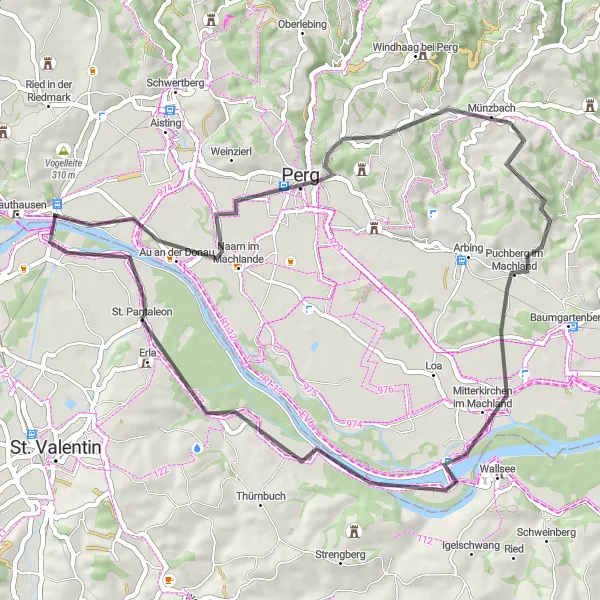
Explore the picturesque Machland region
The Machland Country Escape is a scenic cycling route that takes you through the picturesque Machland region. With a total distance of 52 kilometers and an ascent of 283 meters, this route is suitable for cyclists of all levels. As you cycle through small towns like Naarn im Machlande, Münzbach, and Mitterkirchen im Machland, you'll be surrounded by stunning views of the countryside. The route offers a mix of flat and rolling terrain, making it a great option for leisurely rides. With highlights such as the Koppler Föhre and Schloss Erla, this route promises a memorable cycling experience.
Kronstorf to Traun Adventure
Embark on an adventurous road cycling journey from Kronstorf to Traun.
The Kronstorf to Traun Adventure is an exciting road cycling route that takes you from the charming town of Kronstorf to the picturesque town of Traun. With a total ascent of 638 meters and a distance of 104 kilometers, this route is suitable for intermediate cyclists looking for a thrilling ride. The route starts in Sankt Pantaleon and takes you through the scenic towns of Kronstorf, Schiedlberg, Sipbachzell, Traun, and Lorch before returning back to your starting point. Along the way, you'll encounter diverse terrains, rolling hills, and stunning views. The Kronstorf to Traun Adventure is a great option for cyclists who want to push their limits and explore the beautiful landscapes of the Niederösterreich region.
An epic cycling adventure along the Danube River
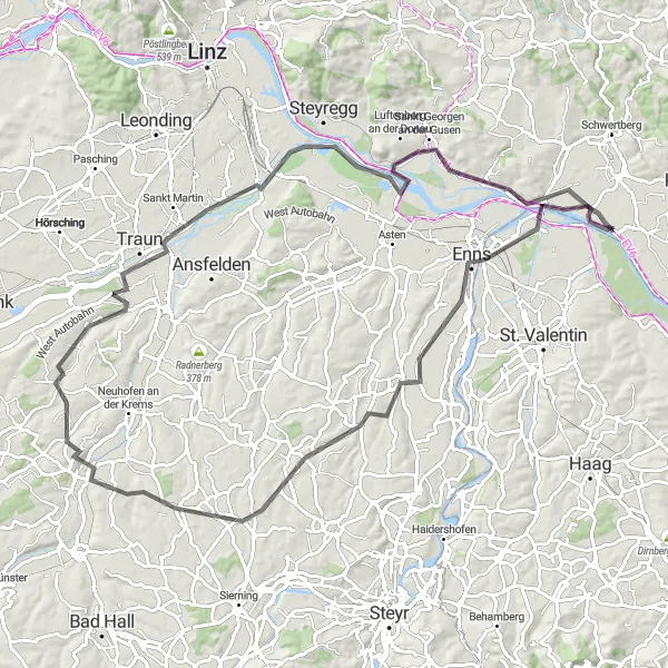
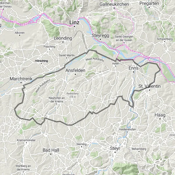
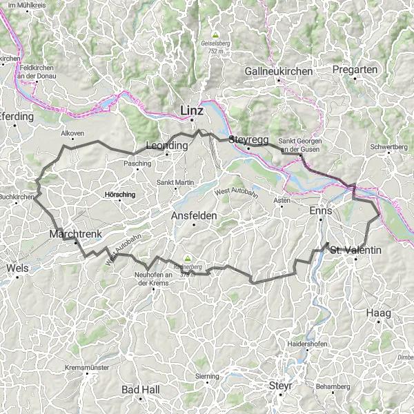
The Donauland Challenge is an epic cycling route that takes you through the beautiful Donauland region. With a total distance of 112 kilometers and an ascent of 1034 meters, this route is suitable for experienced cyclists. The challenging terrain and steep climbs make it a thrilling adventure for those seeking a physical challenge. As you cycle through towns like Hargelsberg Abzw Hausmanning, Niederneukirchen, and Marchtrenk, you'll be rewarded with magnificent views of the Danube River and the surrounding countryside. With highlights such as Steyregg and Mauthausen, this route is not only physically demanding but also culturally rich.
Danube Valley Grand Tour
Embark on an epic road cycling journey through the beautiful Danube Valley.
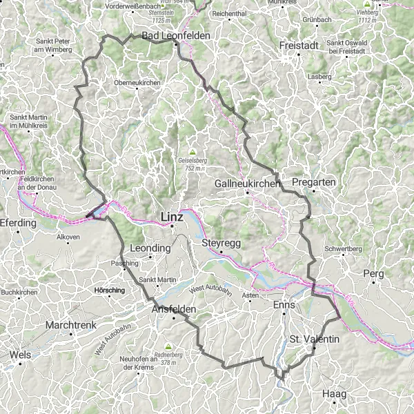
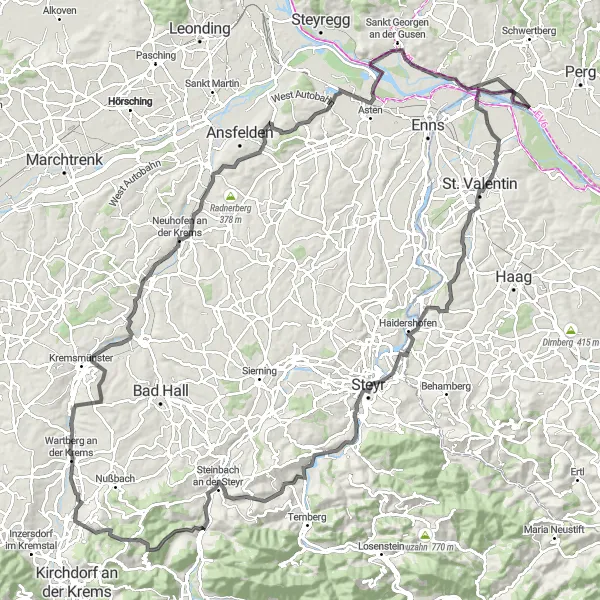
The Danube Valley Grand Tour is an epic road cycling route that takes you on a grand journey through the stunning Danube Valley. With a total ascent of 2,151 meters and a distance of 154 kilometers, this route is only suitable for experienced cyclists with excellent fitness levels. The route starts in Sankt Pantaleon and takes you through the charming towns of Ernsthofen, Eichkogel, Ansfelden, Pasching, Ottensheim, Hansberg, Sankt Johann am Wimberg, Alpenblick, Bad Leonfelden, Reichenau im Mühlkreis, Blaßberg, Wartberg ob der Aist, Vogelleite, Mauthausen, and Erla before returning back to your starting point. Along the way, you'll encounter challenging climbs, breathtaking descents, and picturesque landscapes. The Danube Valley Grand Tour is a true cycling adventure that will test your endurance and provide you with unforgettable memories.
Embark on an exciting road cycling adventure through the scenic landscapes around Perg.
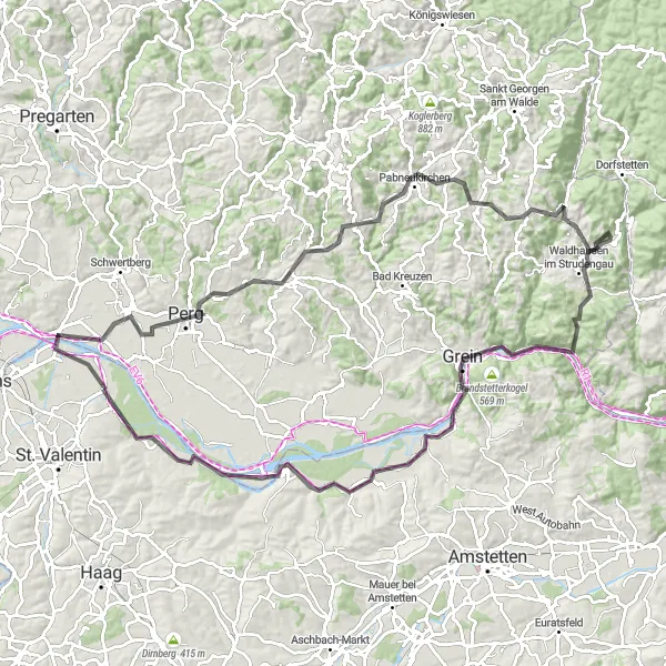
The Perg Adventure Ride is a thrilling road cycling route that takes you through the stunning landscapes around Perg. With a total ascent of 1,232 meters and a distance of 102 kilometers, this route is perfect for experienced cyclists looking for a challenge. The route starts in Sankt Pantaleon and takes you through the picturesque towns of Perg, Koppler Föhre, Pabneukirchen, Waldhausen im Strudengau, Grein, Gipfelstein, Hummelberg, Schloss Wallsee, and Schloss Erla before returning back to your starting point. Along the way, you'll encounter diverse terrains, rolling hills, and breathtaking views. The Perg Adventure Ride is a must-try for cyclists who want to explore the beauty of the Niederösterreich region from a unique perspective.
Langenstein Loop
Explore the beautiful countryside around Sankt Pantaleon on this scenic road cycling route.
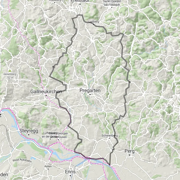
The Langenstein Loop is a picturesque road cycling route that takes you through the stunning countryside near Sankt Pantaleon. With a total ascent of 1,538 meters and a distance of 95 kilometers, this route offers a challenging but rewarding experience for experienced cyclists. The route starts in Sankt Pantaleon and takes you through the charming towns of Langenstein, Unterweitersdorf, Neumarkt im Mühlkreis, Lasberg, Wimmer Höhe, Tragwein, Haarlandberg, and Weinzierl before returning back to your starting point. Along the way, you'll be treated to breathtaking views, rolling hills, and peaceful rural landscapes. The Langenstein Loop is a great option for cyclists who are looking for a challenging and scenic ride in the beautiful Niederösterreich region.
An adrenaline-pumping adventure with stunning views of the Austrian countryside
Embark on a challenging cycling journey that will take you through the picturesque countryside of Niederösterreich. This loop starting from Sankt Pantaleon offers a thrilling ride filled with ups and downs, rewarding you with breathtaking views at every turn. With a total ascent of 1442 meters and a distance of 142 kilometers, this route is perfect for very well-trained amateurs looking for an exhilarating cycling experience. Expect a mix of road and gravel surfaces, providing variety and excitement during your ride. With its highlights scattered along the route, including Hofkirchen, Tabor, Steyr, and Wartberg, this loop promises an unforgettable adventure.
Cycling routes nearby:
Nearby regions: