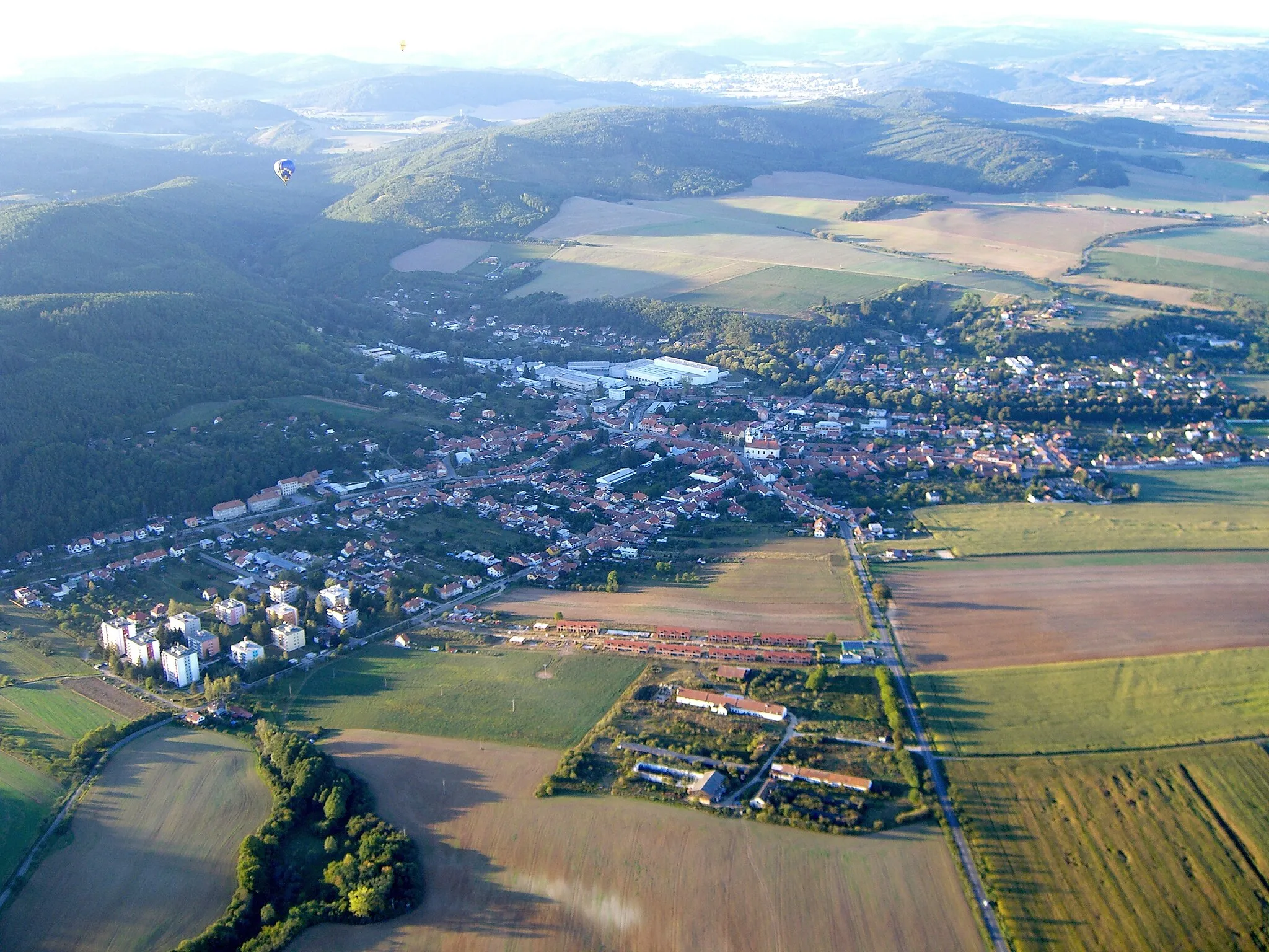
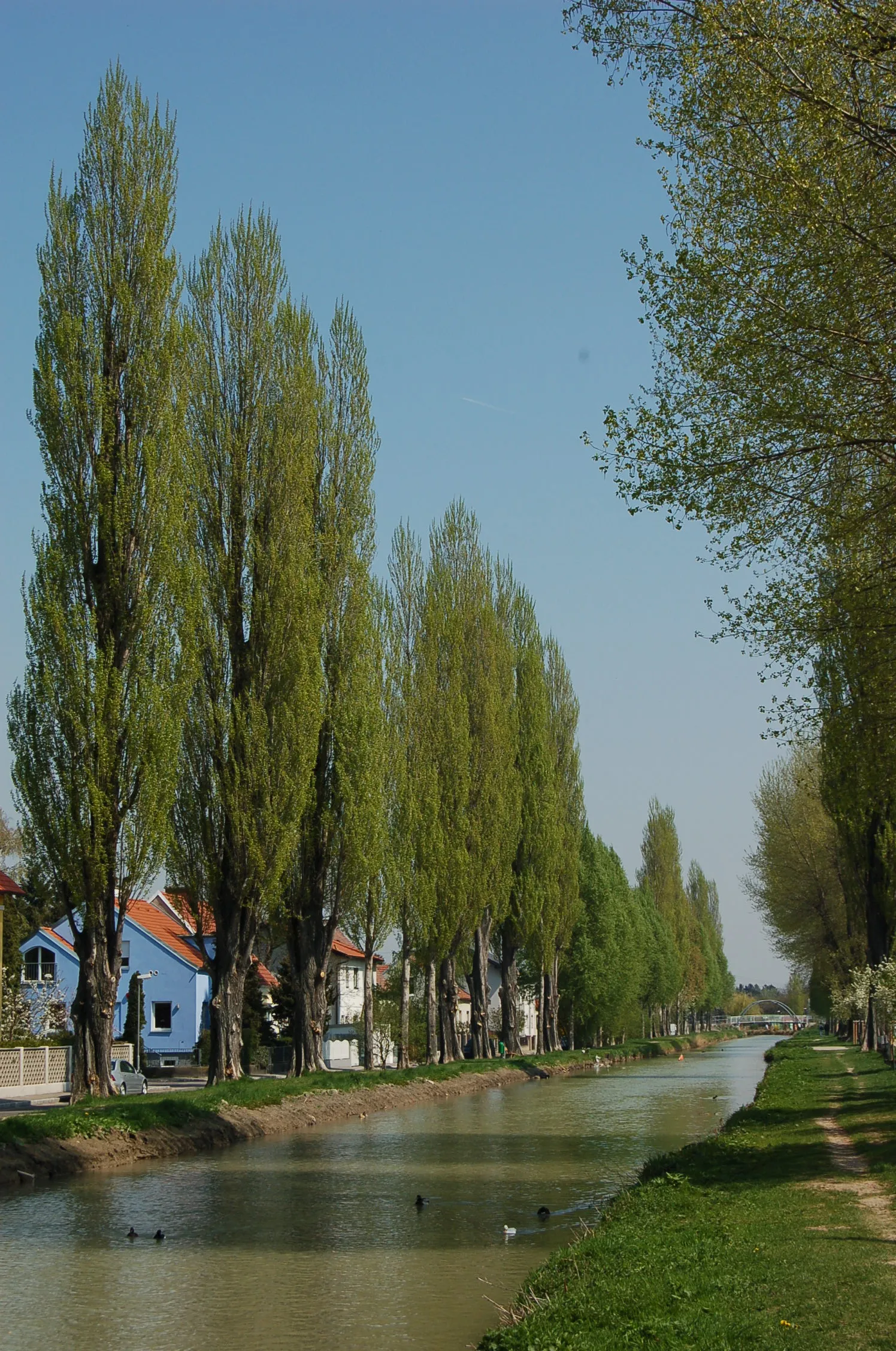
Diverse cycling routes in the peaceful setting of Niederösterreich, Austria.
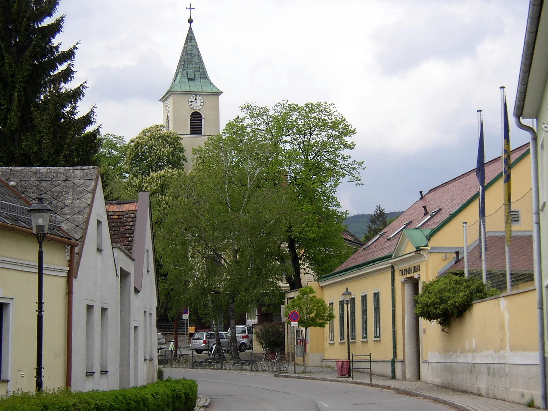
Cycling routes from Theresienfeld
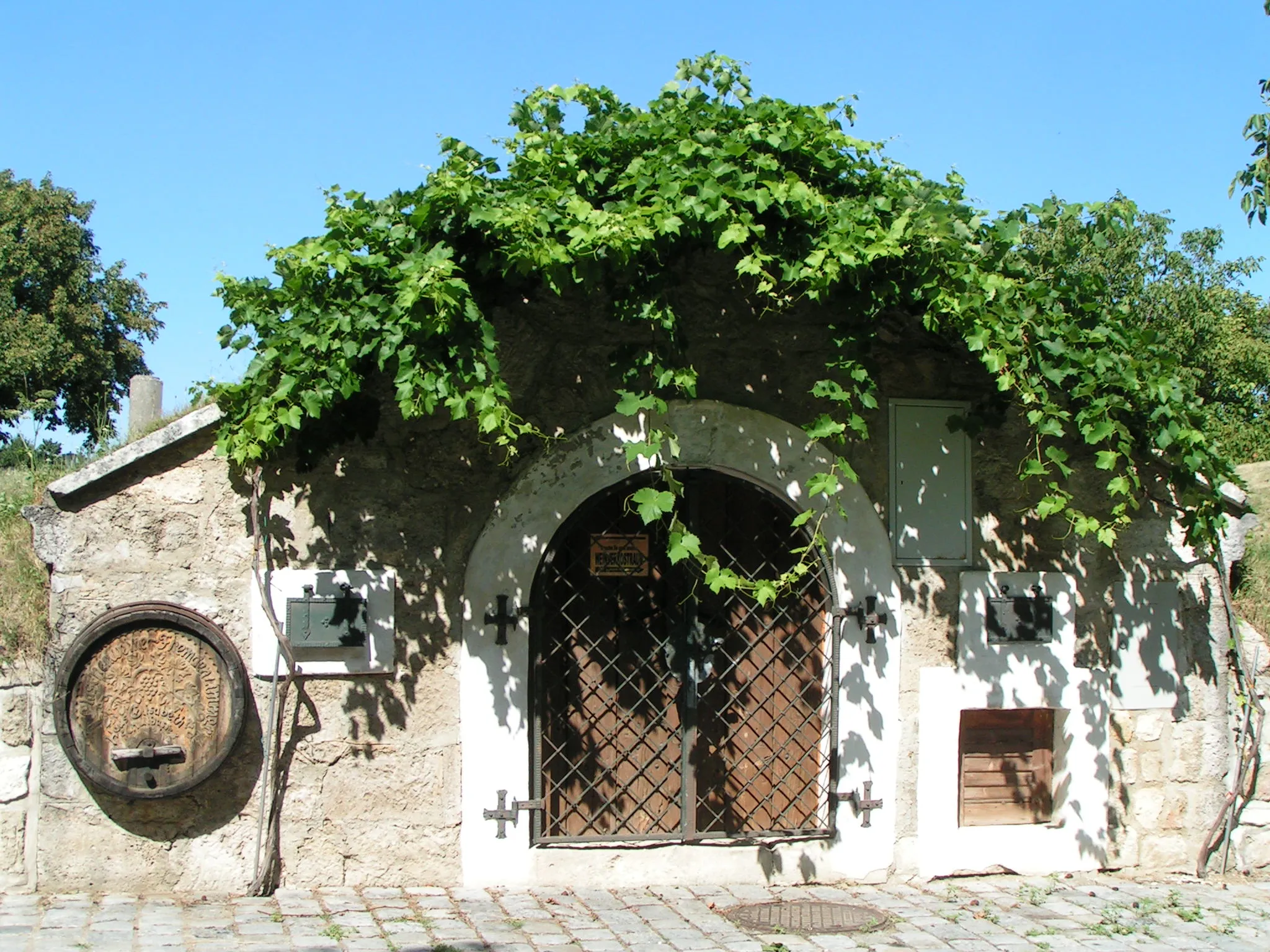
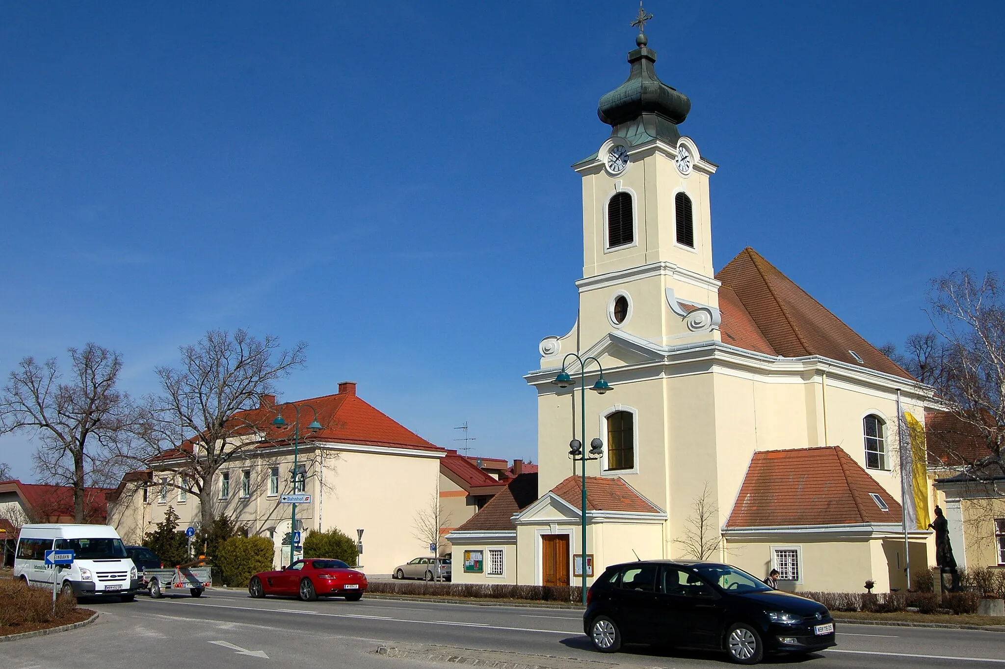
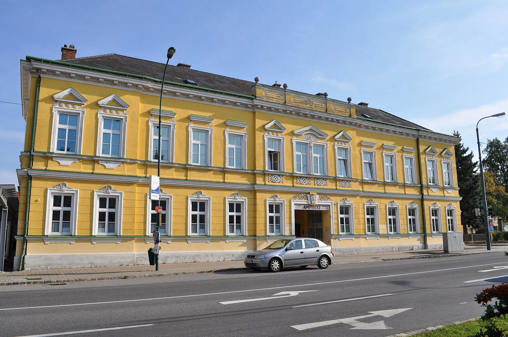
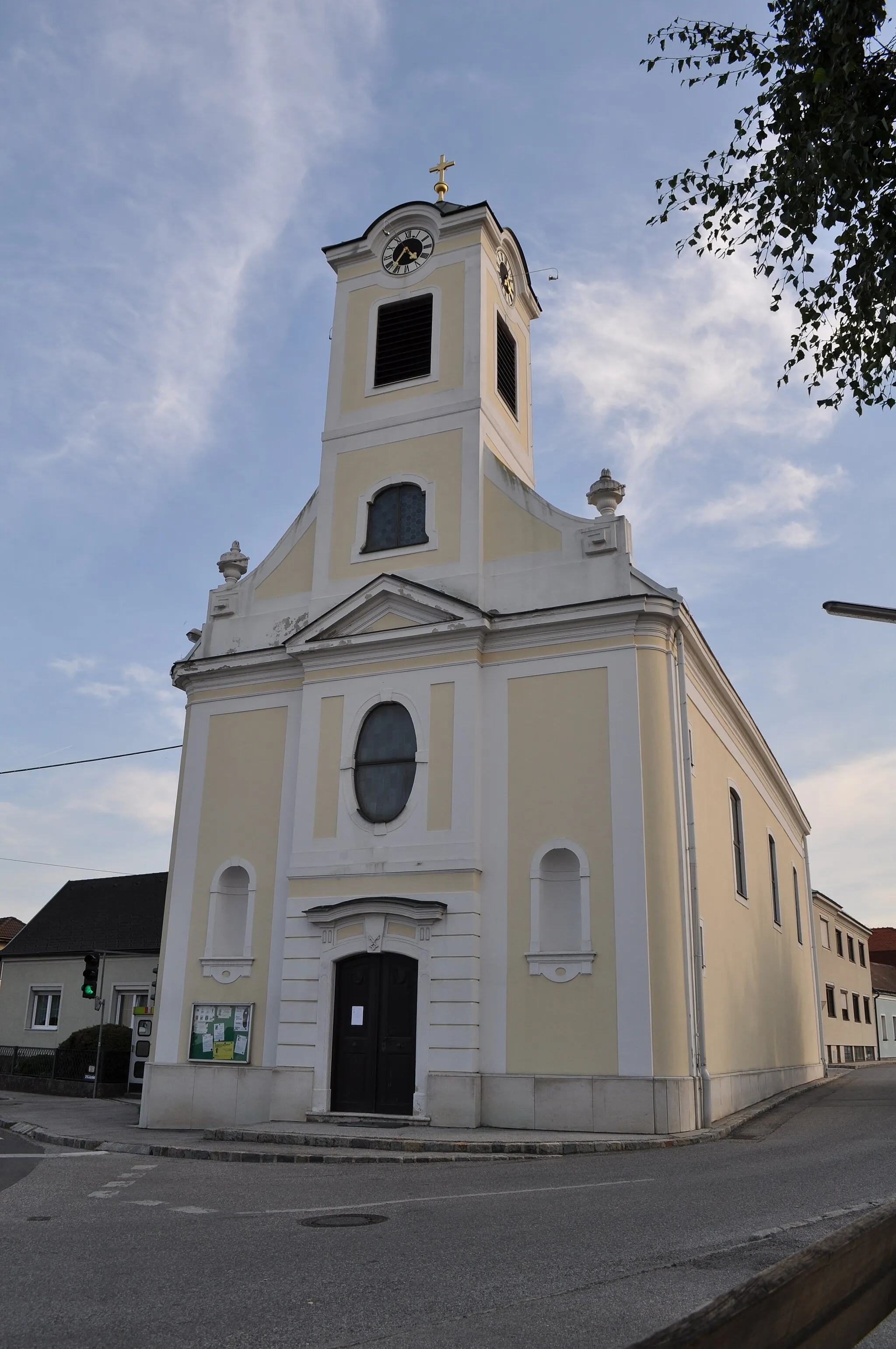
Theresienfeld is a locality situated in Niederösterreich, Austria. For road and gravel cyclists, this area offers a mix of flat routes and gently rolling hills. The surrounding countryside features beautiful landscapes, including fields and forests, providing opportunities for scenic rides. While there are no famous cycling spots or well-known climbs in Theresienfeld itself, the region is well-connected to various bike paths that allow cyclists to explore the surrounding towns and villages. Overall, Theresienfeld is a suitable choice for cyclists seeking a peaceful environment with diverse cycling routes.
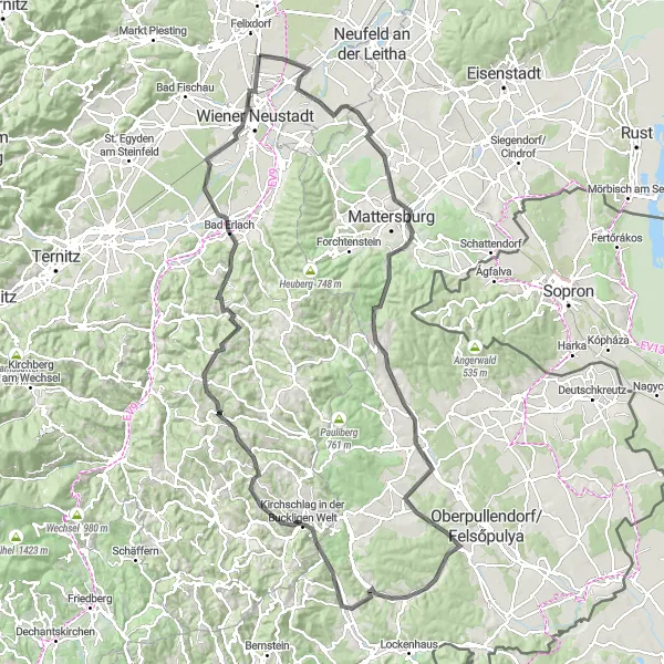
Explore the beautiful landscapes between Theresienfeld and Wiener Neustadt
This round-trip cycling route takes you through scenic routes and picturesque villages of the region. With a total ascent of 1576 meters over a distance of 137 kilometers, this is a moderately challenging route that offers stunning views and diverse terrain. From the charming village of Pöttsching to the historic town of Wiener Neustadt, cyclists will encounter a mix of uphill climbs, serene valleys, and enjoyable descents. The highlights of this route include the Sieggrabener Sattel, a mountain pass that offers panoramic views, and the Feuerturm, a unique tower overlooking the surrounding countryside. Other notable stops along the way include Bad Erlach, known for its thermal baths, and the Kaltenberger Höhe, a high point that rewards cyclists with breathtaking vistas.
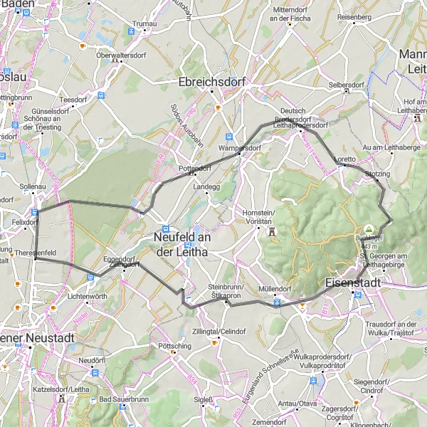
Discovering the Golden Route
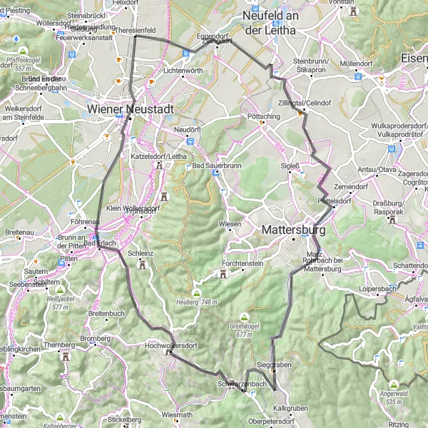
Embark on a cycling adventure along the Golden Route, a scenic journey through rural landscapes and historic villages
The Golden Route offers cyclists a chance to explore the stunning landscapes of Lower Austria while passing through several historic villages. With 839 meters of ascent over a distance of 80 kilometers, this route is moderately challenging but offers rewarding views. Highlights include Goldberg, a picturesque village known for its traditional Austrian architecture, and Sieggrabener Sattel, a mountain pass with breathtaking panoramas. Sieggraben, situated in a tranquil valley, and Roter Riegel, with its unique rock formation, are also notable stops along the way. Cyclists will have the opportunity to relax in the thermal baths of Bad Erlach and explore the historic town of Wiener Neustadt.

Discover the picturesque countryside and natural highlights on this gravel cycling route.
Embark on a thrilling gravel cycling adventure starting near Theresienfeld in Niederösterreich, Austria. This 55 km route takes you through beautiful landscapes, charming villages, and scenic spots. With a total ascent of 322 meters, it offers a moderate challenge for well-trained amateurs. The epicness of the route is elevated by the diverse highlights along the way, making it a memorable cycling experience for nature lovers.
Explore the scenic countryside of Theresienfeld in this gravel cycling route
This gravel route takes you through picturesque countryside with rolling hills and charming villages. You'll pass through Leobersdorf, Sooß, Gaaden, and Tattendorf, enjoying beautiful views along the way. With a moderate difficulty level, this loop is suitable for well-trained amateurs. The route covers a distance of 60 kilometers and includes a total ascent of 563 meters.

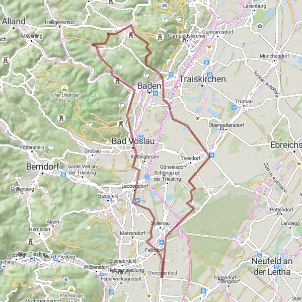
Embark on a scenic road cycling journey from Theresienfeld to Alland
This road cycling route provides breathtaking scenery and a challenging climb up the Gaiskogel peak. With an ascent of 668 meters over a distance of 77 kilometers, this route is best suited for experienced cyclists. Highlights along the way include the Höhlturm tower, Weissenbach an der Triesting, and the picturesque town of Bad Vöslau known for its thermal baths.
Experience the highlights of Pottendorf and Eisenstadt on an enjoyable cycling route
This 64-kilometer road cycling route takes riders through the highlights of Pottendorf and Eisenstadt. With an ascent of 417 meters, this is a moderately challenging route suitable for cyclists of all levels. Highlights along the way include the Schlossruine Pottendorf, a historic castle ruin offering scenic views, and Stotzing, a charming village with traditional Austrian architecture. Stotzingberg, with its panoramic vistas, and Eisenstadt, known for its cultural attractions, are also stops along the route. Cyclists can enjoy the serene landscapes and immerse themselves in the rich history and culture of the region.
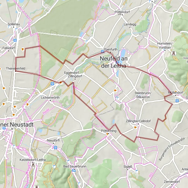
Embrace the gravel adventure in the scenic surroundings of Pöttsching
This gravel route offers a scenic and enjoyable cycling experience through the beautiful countryside near Theresienfeld. Covering a distance of 47 kilometers with a total ascent of 219 meters, it is suitable for cyclists of all levels. Highlights along the way include the historic town of Ebenfurth and Zillingdorf, known for its serene landscapes.
Steinabrückl Loop

Embark on a challenging gravel adventure in Theresienfeld
This gravel route offers a challenging adventure through varying terrain and spectacular landscapes. With a significant ascent of 1124 meters over a distance of 67 kilometers, this loop is perfect for experienced cyclists seeking a test of their endurance. Highlights along the route include Steinabrückl, a peaceful village with traditional architecture, and Pöllau, known for its stunning natural surroundings and hiking trails.
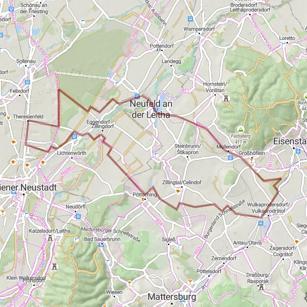
Explore the historic town of Ebenfurth on this moderate gravel ride
This gravel route takes you through diverse landscapes and historical landmarks, with Ebenfurth as the focal point. With a total ascent of 240 meters over a distance of 60 kilometers, this ride is suitable for both seasoned cyclists and beginners. Highlights along the route include the picturesque village of Müllendorf and the impressive Pestsäule monument in Ebenfurth.
The Blumberg Challenge

A challenging road cycling route with stunning views
The Blumberg Challenge is a demanding road cycling route that starts near Theresienfeld in Niederösterreich, Austria. With a total distance of 84 kilometers and an ascent of 1245 meters, this route is only suitable for well-trained amateur cyclists. The highlight of the route is the Blumberg, a picturesque village located at the 9-kilometer mark. From there, cyclists can enjoy breathtaking views of the surrounding countryside. Other notable highlights along the route include St. Egyden am Steinfeld, famous for its historic buildings, and Burg Stixenstein, an impressive medieval castle.
Cycling routes nearby:

Nearby regions: