Enjoying a peaceful cycling experience in Lichtenegg
Cycling routes from Lichtenegg
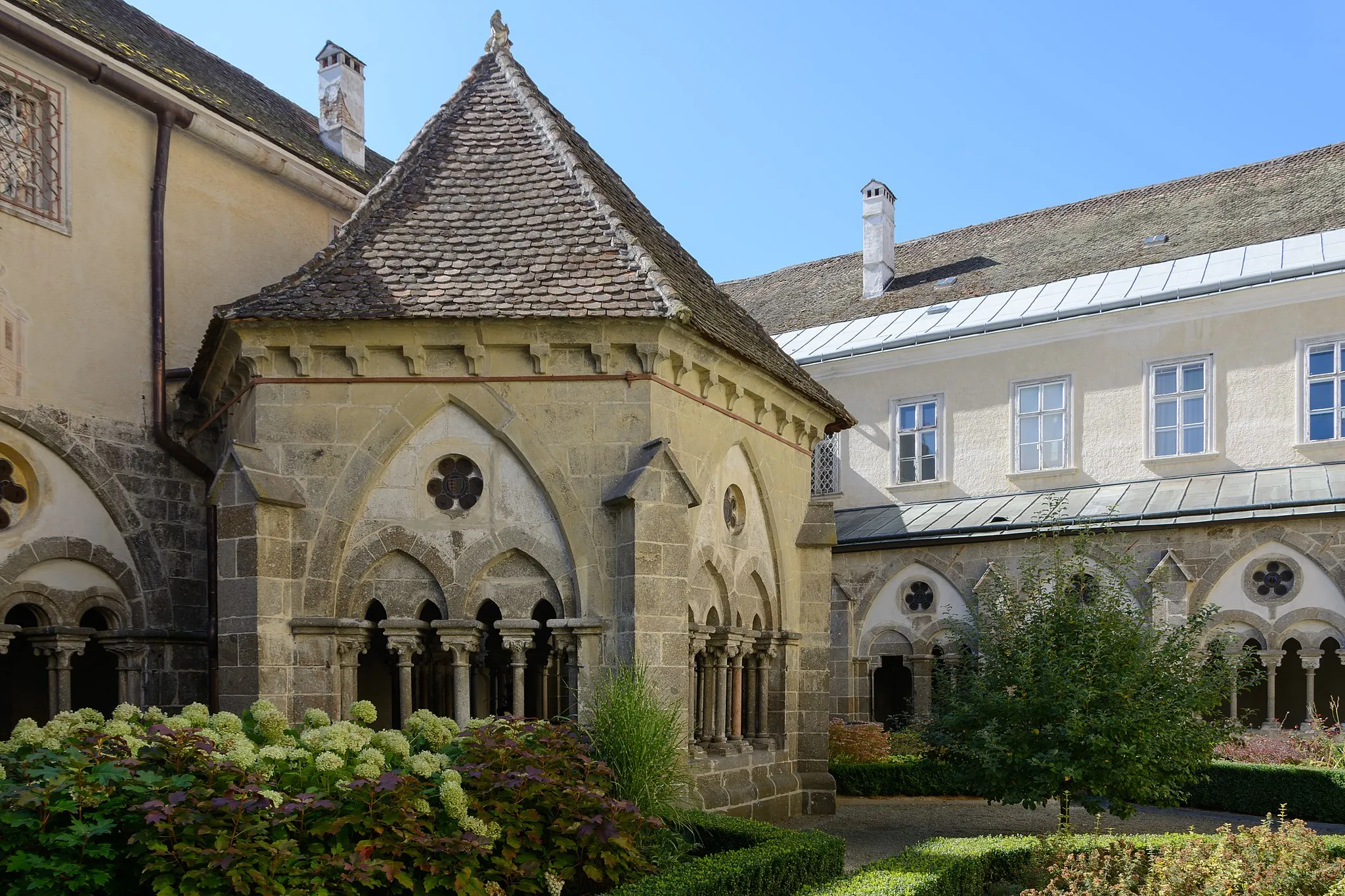
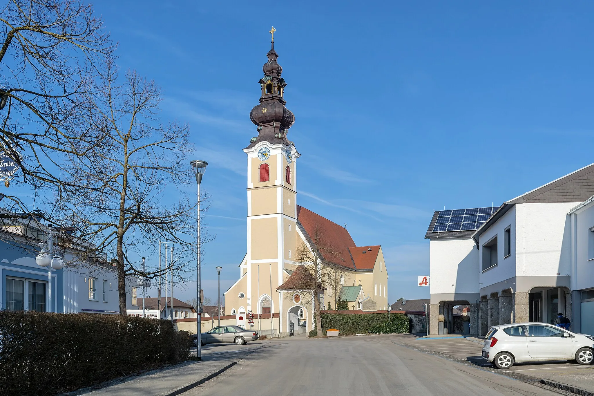
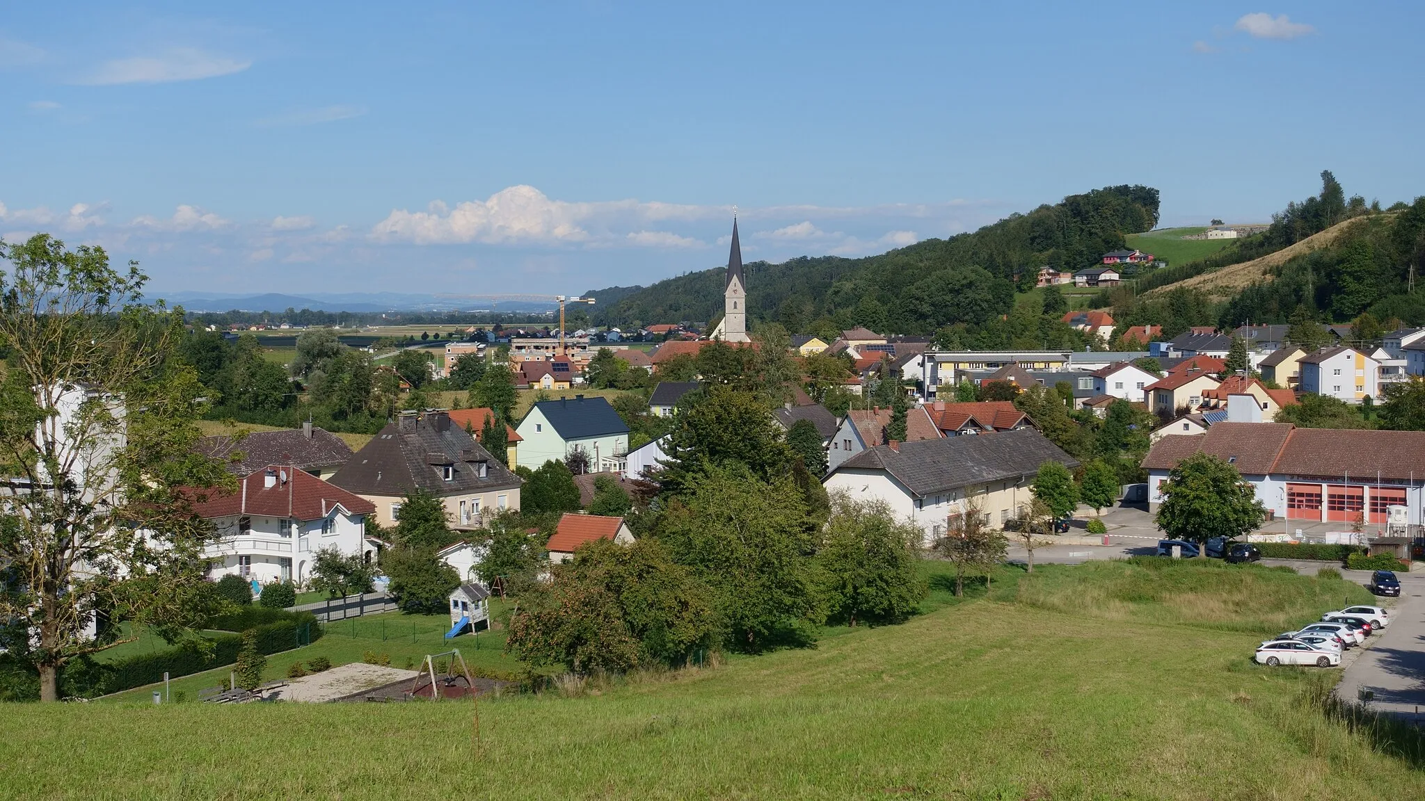
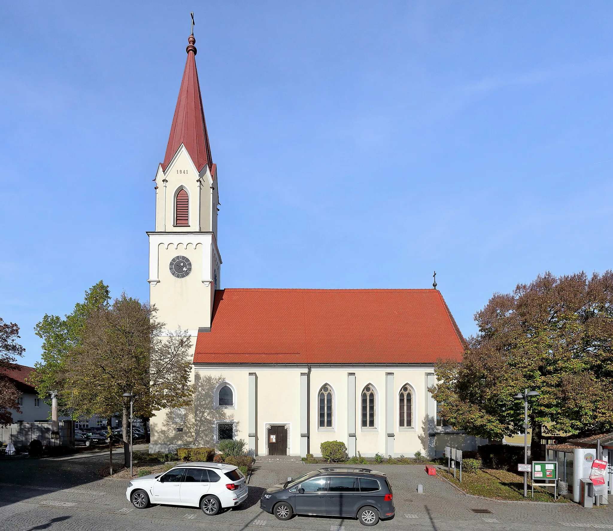
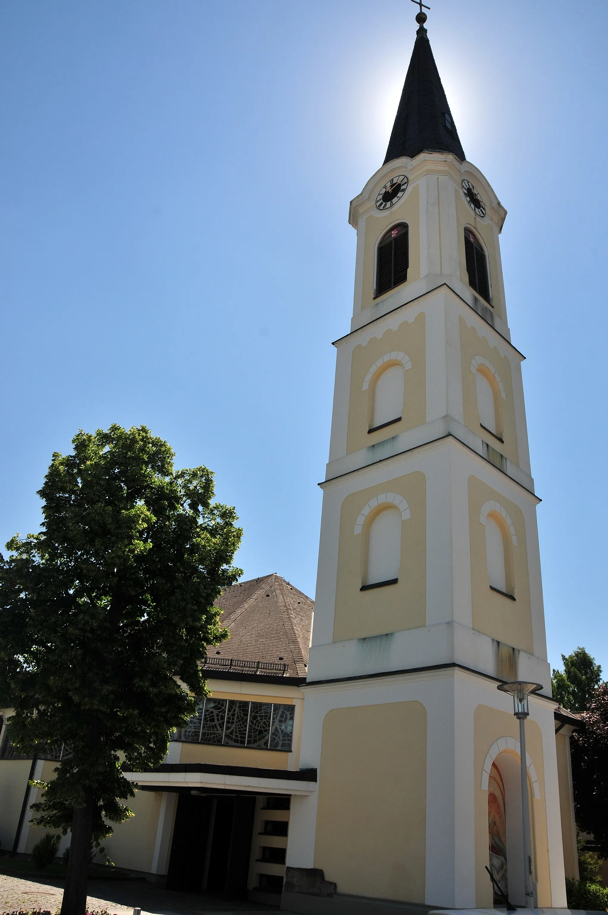
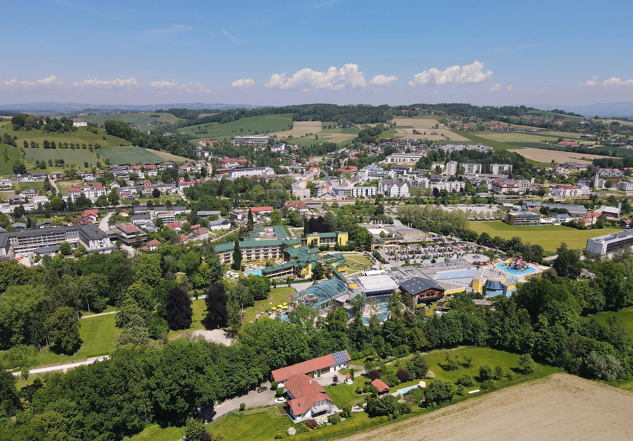
Lichtenegg is a small locality located in the Oberösterreich region of Austria. While it may not offer as many cycling routes as some bigger towns, it provides a pleasant and relaxing cycling experience. The area is known for its beautiful countryside and charming villages. The roads are well-maintained and suitable for both road and gravel cycling. Lichtenegg also offers easy access to the nearby Haibach/Donaustadt, which is a famous cycling location with various challenging climbs for experienced cyclists.
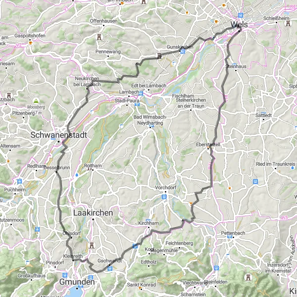
Embark on a challenging road cycling loop from Lichtenegg to Vöcklaberg.
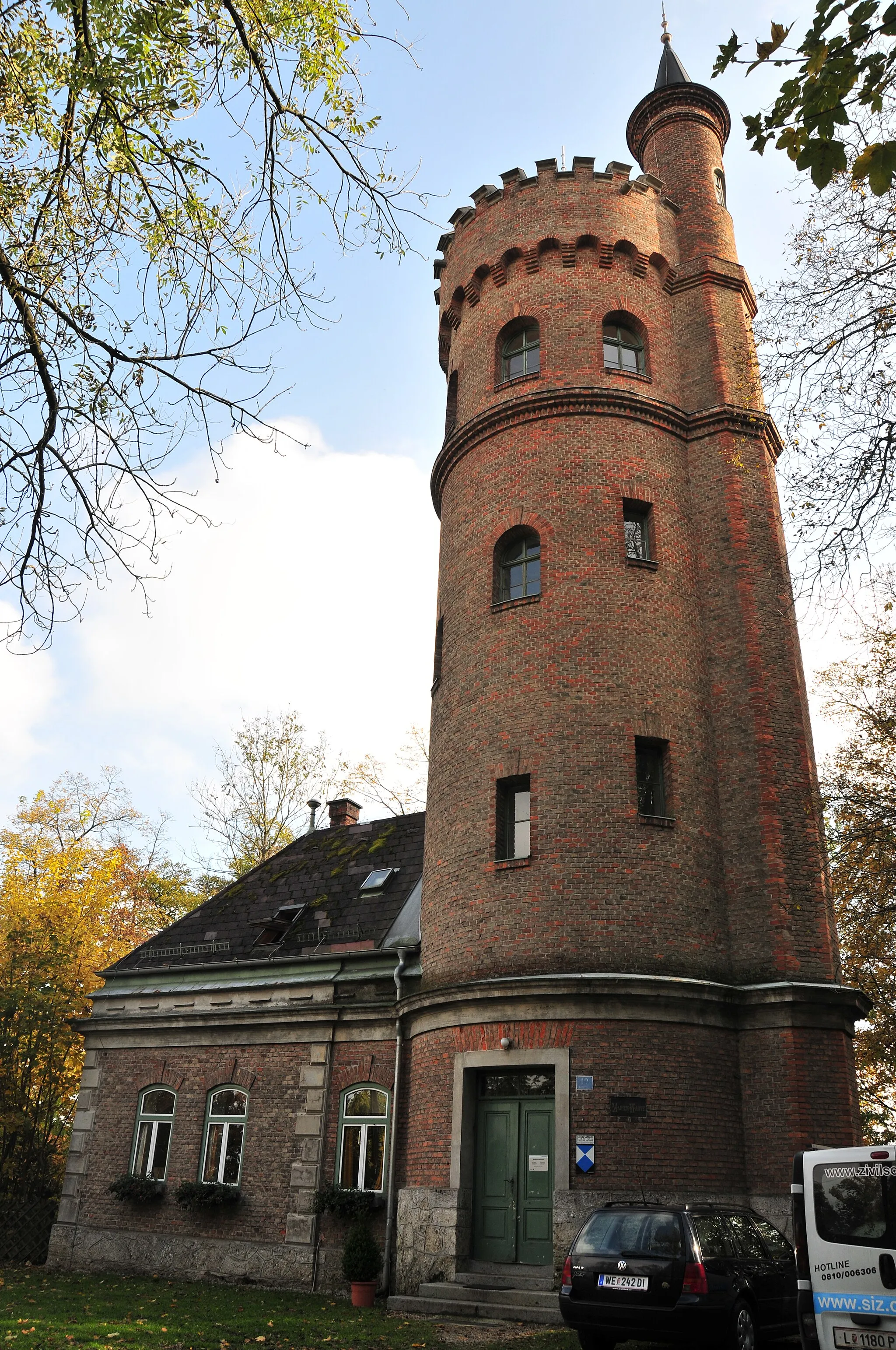
This challenging road cycling loop takes you from Lichtenegg to Vöcklaberg, offering awe-inspiring landscapes and a demanding route. With a distance of 99km and an ascent of 852m, this route is suitable for experienced cyclists. The highlights along the route include the Ledererturm, which offers panoramic views of the surrounding area, and ÖBB-Lok 1045.12, a historic steam engine located in ÖBB exhibition. Additionally, Pinsdorf is a charming village famous for its picturesque setting.
Wartberg Experience
Embark on an adventurous road cycling route through captivating landscapes.
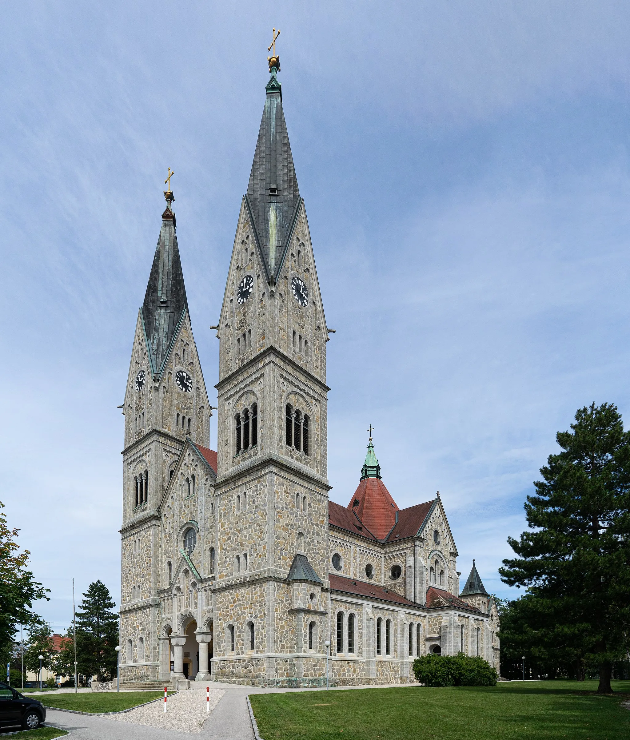
The Wartberg Experience is an exhilarating road cycling route that starts near Lichtenegg in Oberösterreich, Austria. Covering a distance of 70 kilometers and featuring an ascent of 808 meters, this route offers a thrilling experience for cyclists seeking a mix of natural beauty and historical landmarks. Begin your journey at the iconic Ledererturm, a historic tower that has witnessed centuries of history. As you pedal through the route, highlights like Marienwarte, Schloss Eggendorf, Schloss Achleiten, Wartberg an der Krems, and Wels will captivate you with their stunning architecture and scenic surroundings. Wels, the final destination of the route, provides the perfect ending point, with its vibrant atmosphere, rich history, and flourishing cycling scene.
Buchkirchen Adventure
Embark on an exciting road cycling journey through the countryside.
The Buchkirchen Adventure is a scenic road cycling route that starts near Lichtenegg in Oberösterreich, Austria. Covering a distance of 66 kilometers and featuring an ascent of 332 meters, this route offers a thrilling cycling experience for riders of all levels. Along the way, you will encounter highlights such as the Ledererturm, a historic tower that marks the starting point. Additionally, Buchkirchen, Schloss Auhof, Rosenfeldweg, Pasching, and Hörsching are highlights that provide a glimpse of the region's enchanting natural beauty and cultural heritage. The route concludes at Marienwarte, a renowned viewpoint that offers panoramic vistas of the surroundings, before heading back to Wels.
Lichtenegg Loop
A scenic road cycling route with breathtaking views.
The Lichtenegg Loop is a challenging road cycling route starting near Lichtenegg in Oberösterreich, Austria. With a total distance of 85 kilometers and an ascent of 940 meters, this route offers a diverse and rewarding cycling experience. Riders will pass through beautiful landscapes, charming villages, and historical landmarks along the way. To kickstart your journey, make sure to visit the Ledererturm, a prominent highlight located at the starting point. As you pedal through the route, highlights like Irrachhöhe, Magdalenaberg, Kaltenbach, and Waizenkirchen will captivate you with their natural beauty and cultural significance. The route culminates at Marienwarte, a popular destination that offers panoramic views of the surrounding area, before ending in the vibrant city of Wels.
Explore beautiful landscapes on this road cycling route from Lichtenegg to Desselbrunn.
This road cycling route takes you from Lichtenegg to Desselbrunn, offering stunning landscapes and picturesque views. With a distance of 85km and an ascent of 781m, the route is suitable for well-trained amateur cyclists. The highlights along the route include the Ledererturm, an iconic tower overlooking the area, and the Webergrub, a charming village known for its traditional charm.
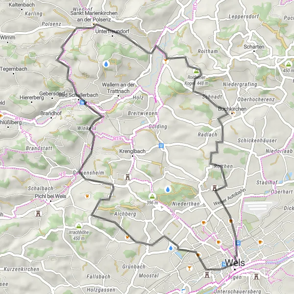
Discover the beauty of Roithener Kogel through a captivating road cycling route.
The Roithener Kogel Exploration is a scenic road cycling route that starts near Lichtenegg in Oberösterreich, Austria. With a distance of 44 kilometers and an ascent of 467 meters, this route offers a pleasant and rewarding ride for cyclists of various skill levels. Highlights along the route include the historical Ledererturm, as well as impressive spots like Irrachhöhe, Bad Schallerbach, Magdalenaberg, Buchkirchen, Roithener Kogel, and Wels. Each highlight showcases unique aspects of the region's natural beauty and cultural heritage. The Marienwarte, which offers panoramic views of the surroundings, serves as a perfect ending point before heading back to Wels. The Roithener Kogel Exploration guarantees an unforgettable cycling experience surrounded by captivating landscapes.
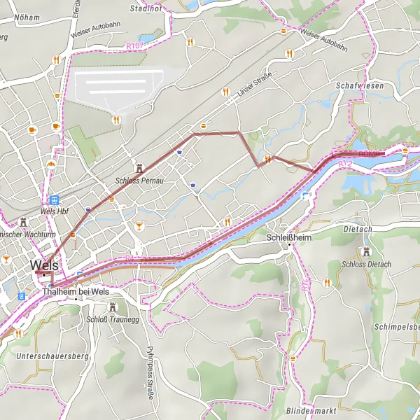
Enjoy a leisurely gravel cycling route from Lichtenegg to Wels.
This leisurely gravel cycling route takes you from Lichtenegg to Wels, offering a relaxed ride with beautiful scenery. With a distance of 13km and only 47m ascent, this route is suitable for beginners and leisure riders. The highlights along the route include the Ledererturm, which offers panoramic views of the surrounding countryside, and the Marienwarte, which provides a great vantage point to admire the landscape.
Embark on an exhilarating road cycling challenge through picturesque landscapes.
The Magdalenaberg Challenge is a thrilling road cycling route that starts near Lichtenegg in Oberösterreich, Austria. With a distance of 83 kilometers and an ascent of 895 meters, this route provides a satisfying challenge for experienced cyclists. The highlights of the route include Ledererturm, a historic tower that marks the beginning of the journey, as well as the scenic spots of Irrachhöhe, Magdalenaberg, Kaltenbach, Pupping, Holzhausen, Marienwarte, and Wels. Each highlight offers distinct qualities that contribute to the overall beauty and allure of the route. Marienwarte, located at the end of the route, is particularly noteworthy as it provides breathtaking panoramic views of the surrounding landscapes. The Magdalenaberg Challenge is a perfect choice for adventurers seeking a memorable cycling experience in picturesque surroundings.
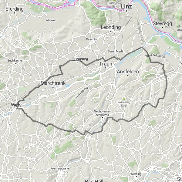
Experience scenic beauty on this road cycling tour from Lichtenegg to Wels.
This scenic road cycling tour takes you from Lichtenegg to Wels, allowing you to explore picturesque landscapes and charming villages along the way. With a distance of 79km and an ascent of 724m, this route is suitable for moderately-trained amateur cyclists. The highlights along the route include the Ledererturm, offering panoramic views of the surrounding countryside, and the Marienwarte, a tower that provides a great vantage point for admiring the landscape. Additionally, you'll pass through Wels, a historical city known for its rich cultural heritage.
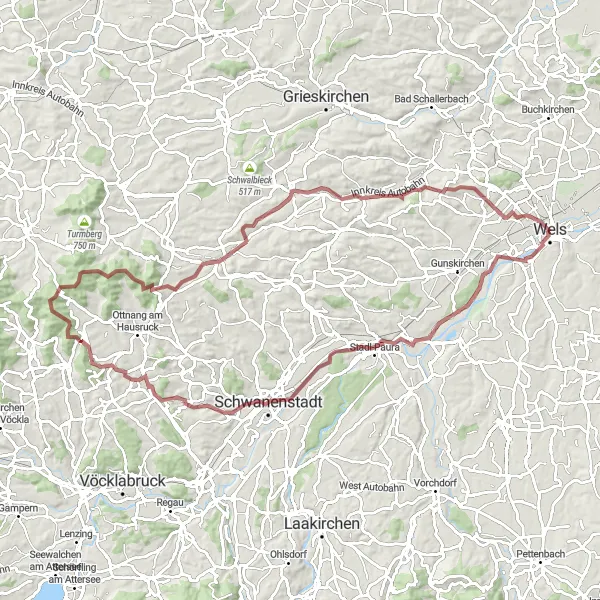
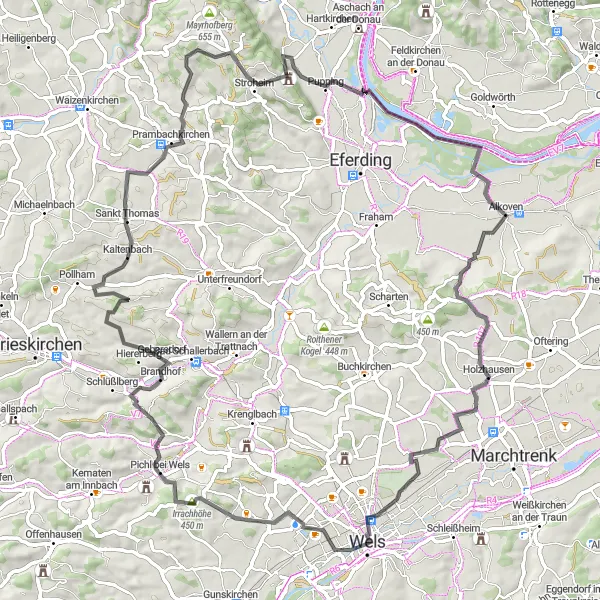
Embark on an epic gravel cycling adventure from Lichtenegg to Wels.
This epic gravel cycling adventure takes you from Lichtenegg to Wels, offering challenging terrain and breathtaking scenery. With a distance of 89km and an ascent of 1088m, this route is suitable for experienced gravel cyclists. The highlights along the route include the Ledererturm, offering stunning panoramic views, and Stift Lambach, a historic abbey with beautiful architecture. Additionally, Pfenniggrub is a picturesque village known for its scenic landscapes.
Cycling routes nearby:
Nearby regions: