Serene Cycling along the Danube River
Cycling routes from Luftenberg an der Donau
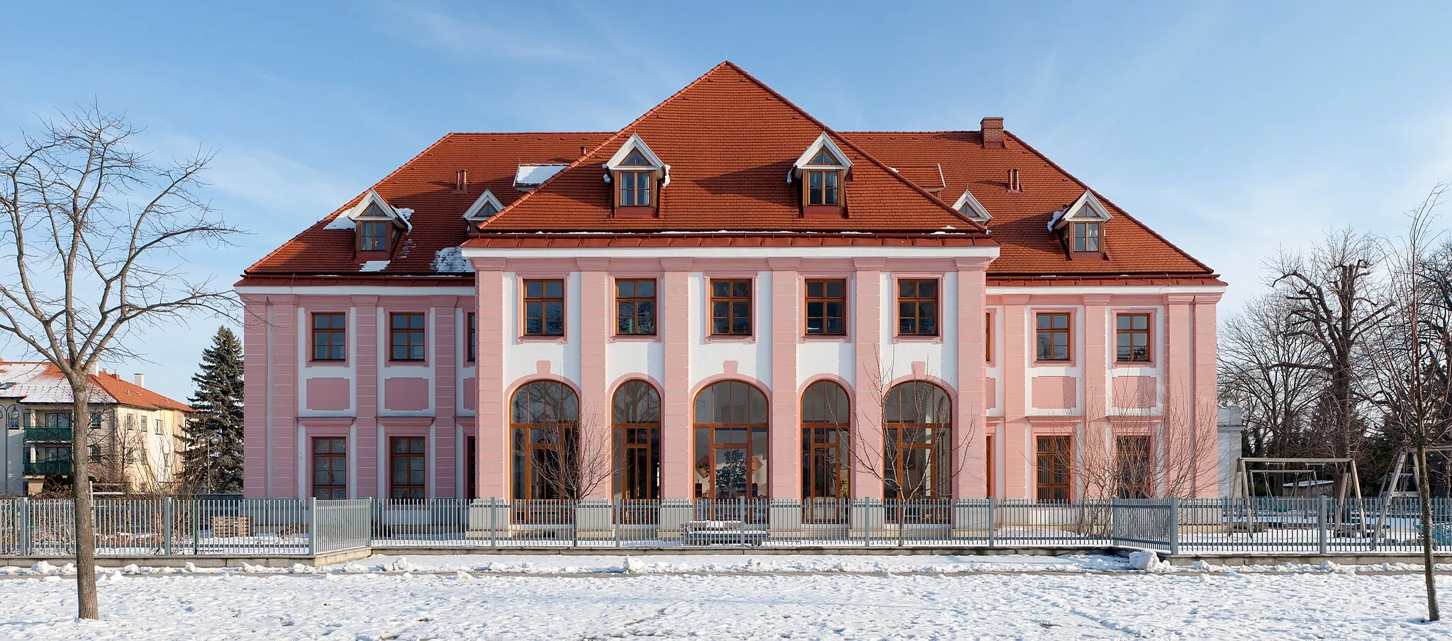
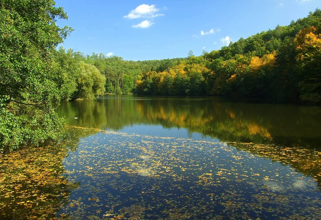
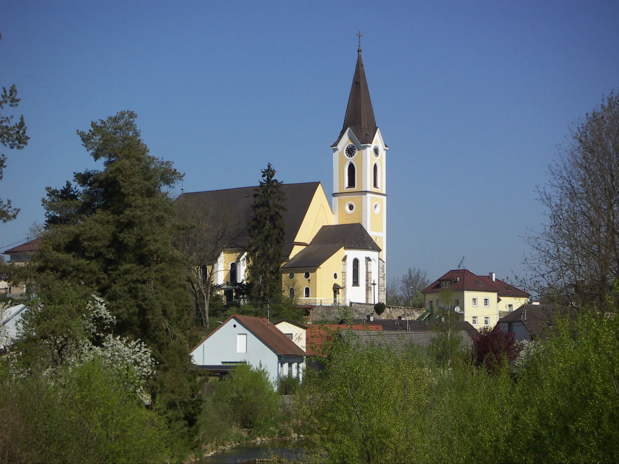
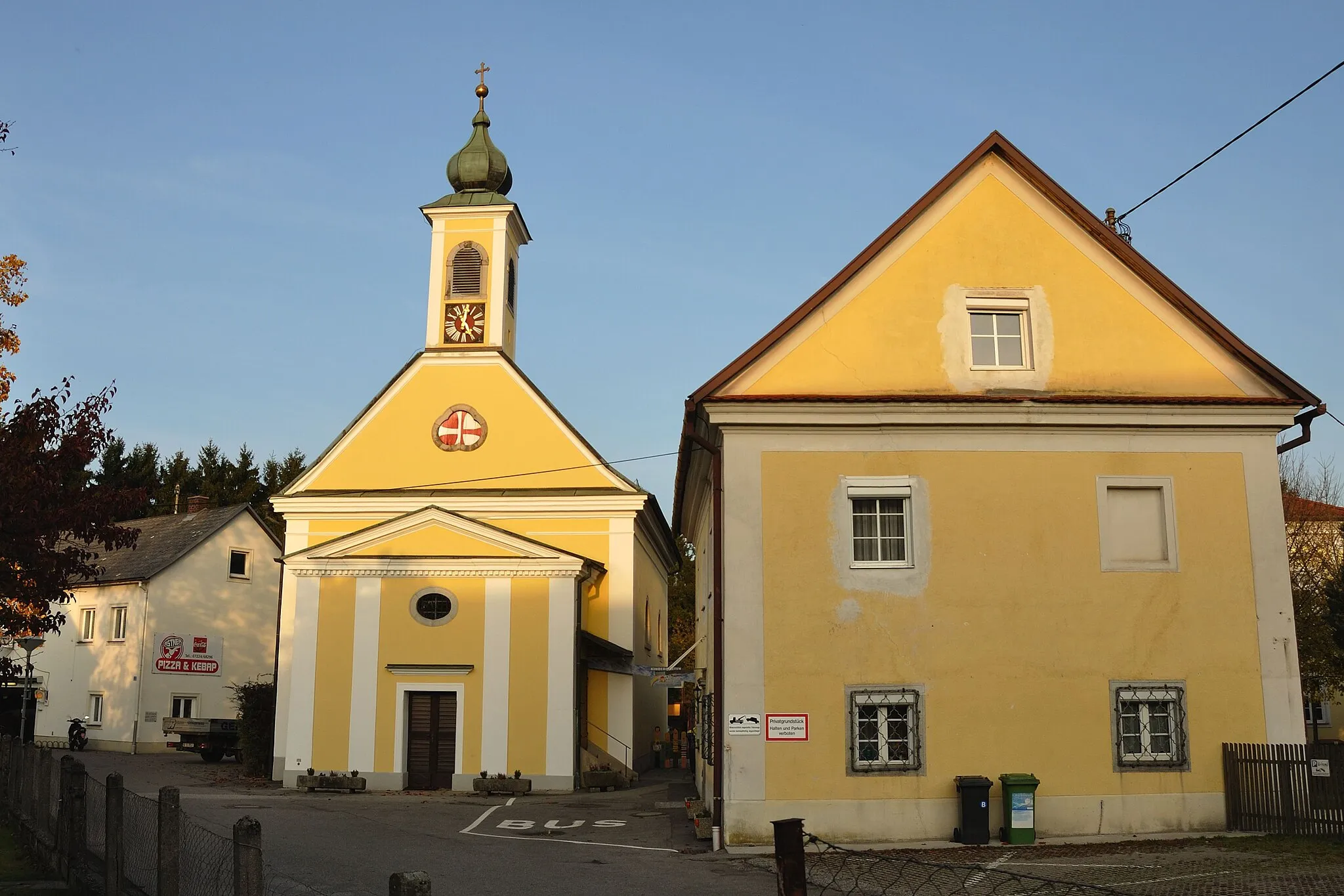
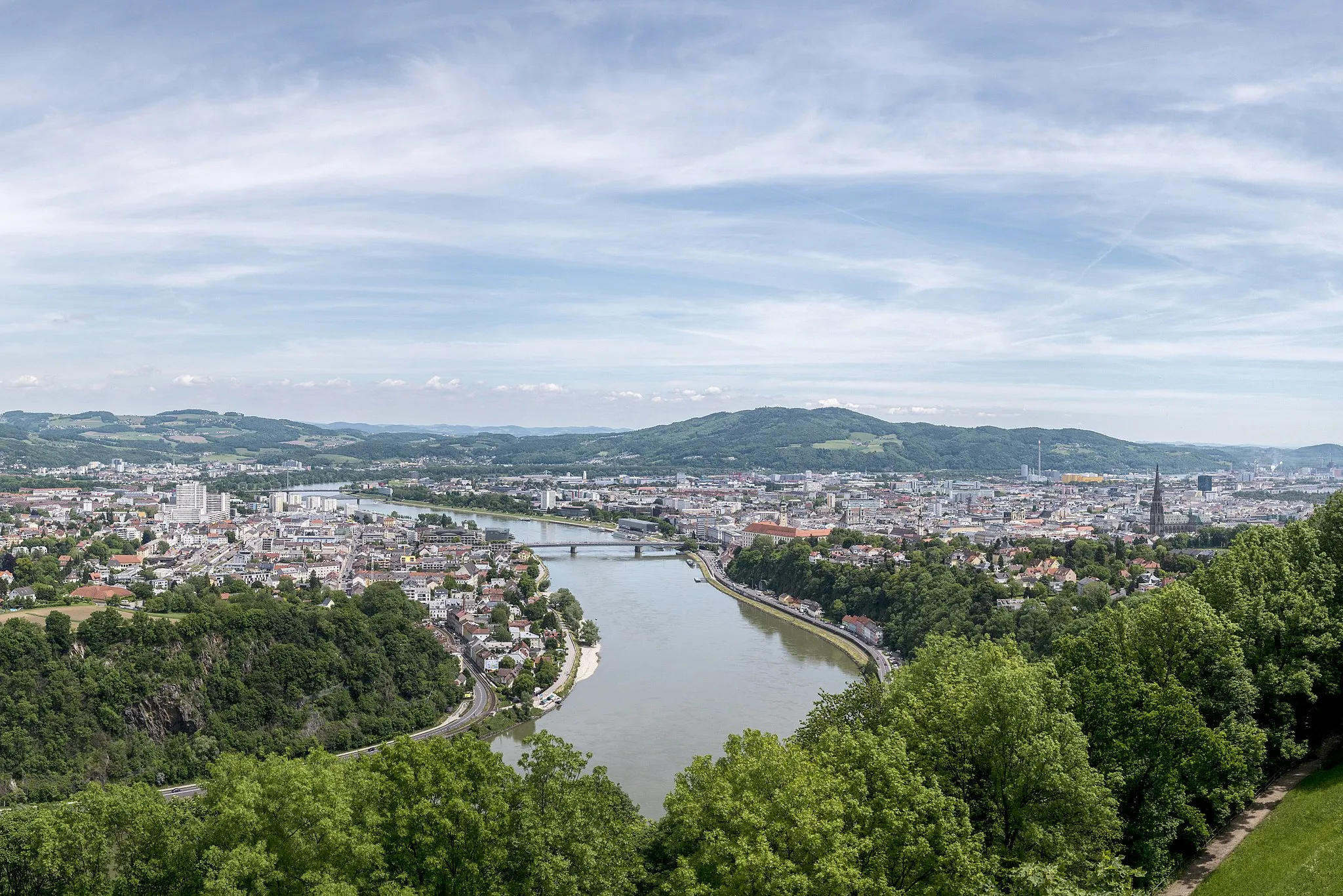
Luftenberg an der Donau is a locality in Oberösterreich, Austria. As a cyclist, Luftenberg an der Donau offers a serene and scenic cycling experience along the banks of the Danube River. The locality is home to the popular Danube Cycle Path, which attracts cyclists from all over the world. The path provides stunning views of the river and passes through charming villages and picturesque landscapes. Luftenberg an der Donau also offers easy access to other cycling routes and trails in the region, allowing cyclists to explore the diverse natural beauty of Upper Austria. Overall, Luftenberg an der Donau is a must-visit locality for cyclists seeking a peaceful and picturesque cycling adventure.
Explore the Countryside
Discover the beauty of the Austrian countryside on this scenic route with moderate climbs.
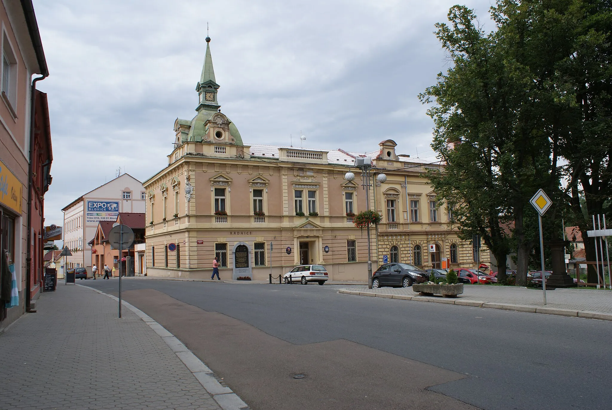
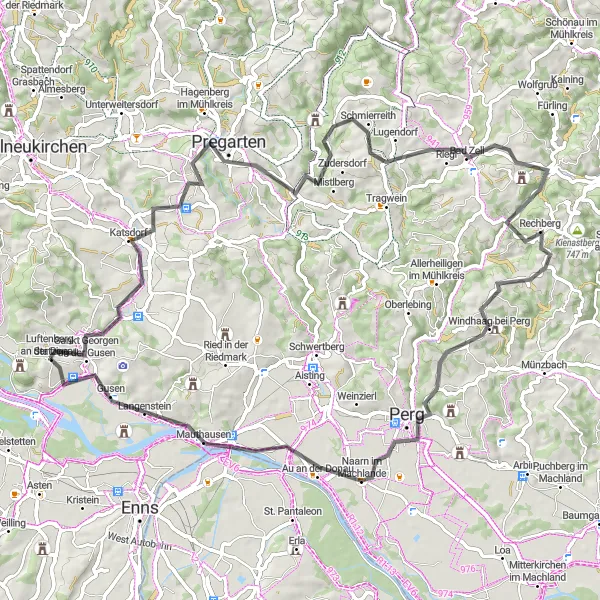
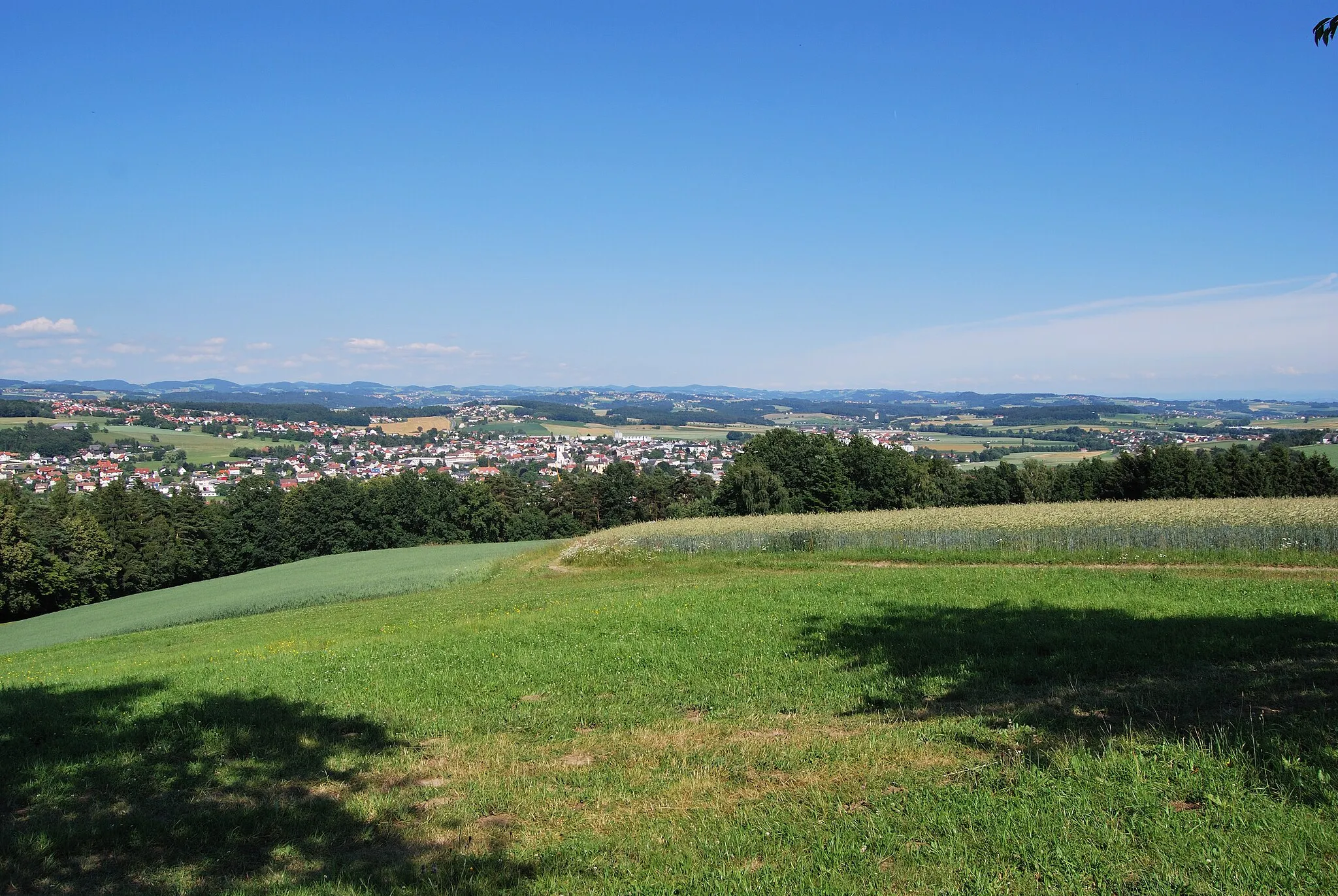
Embark on an unforgettable journey through the Austrian countryside, where you'll be delighted by idyllic landscapes, charming villages, and cultural landmarks. With a total ascent of 1092 meters over a distance of 77 kilometers, this route offers moderate climbs suitable for intermediate cyclists. You'll pedal through rolling hills, meandering rivers, and lush green meadows, experiencing the true essence of rural Austria. The highlights of this route include Pregarten, Bad Zell, Schwammerling, Aussichtsturm Burgruine Windhaag bei Perg, Naarn im Machlande, and Langenstein.
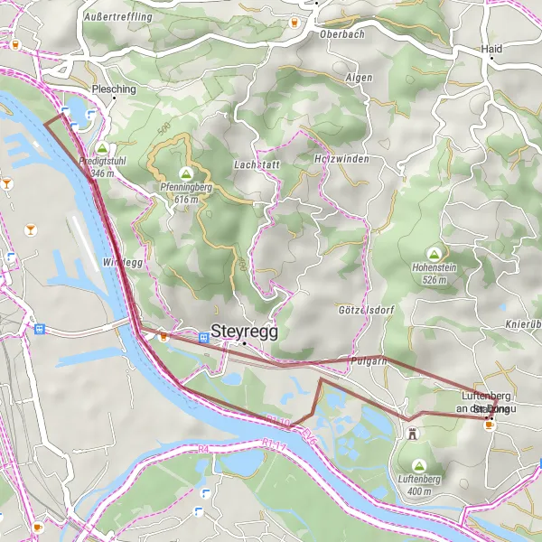
Embark on a gravel adventure through scenic landscapes near Luftenberg an der Donau.
Get off the beaten path and explore the scenic landscapes surrounding Luftenberg an der Donau on this gravel adventure. With a total ascent of 133 meters over a distance of 23 kilometers, this shorter route is perfect for riders looking for a challenge without the long distance. You'll navigate gravel roads through rolling hills, passing by charming rural villages and picturesque countryside. The highlights of this route include Luftenberg an der Donau, Predigtstuhl, and Steyregg.
River and Volcano Ride

Experience the synergy of water and fire on this captivating route along the Danube River.
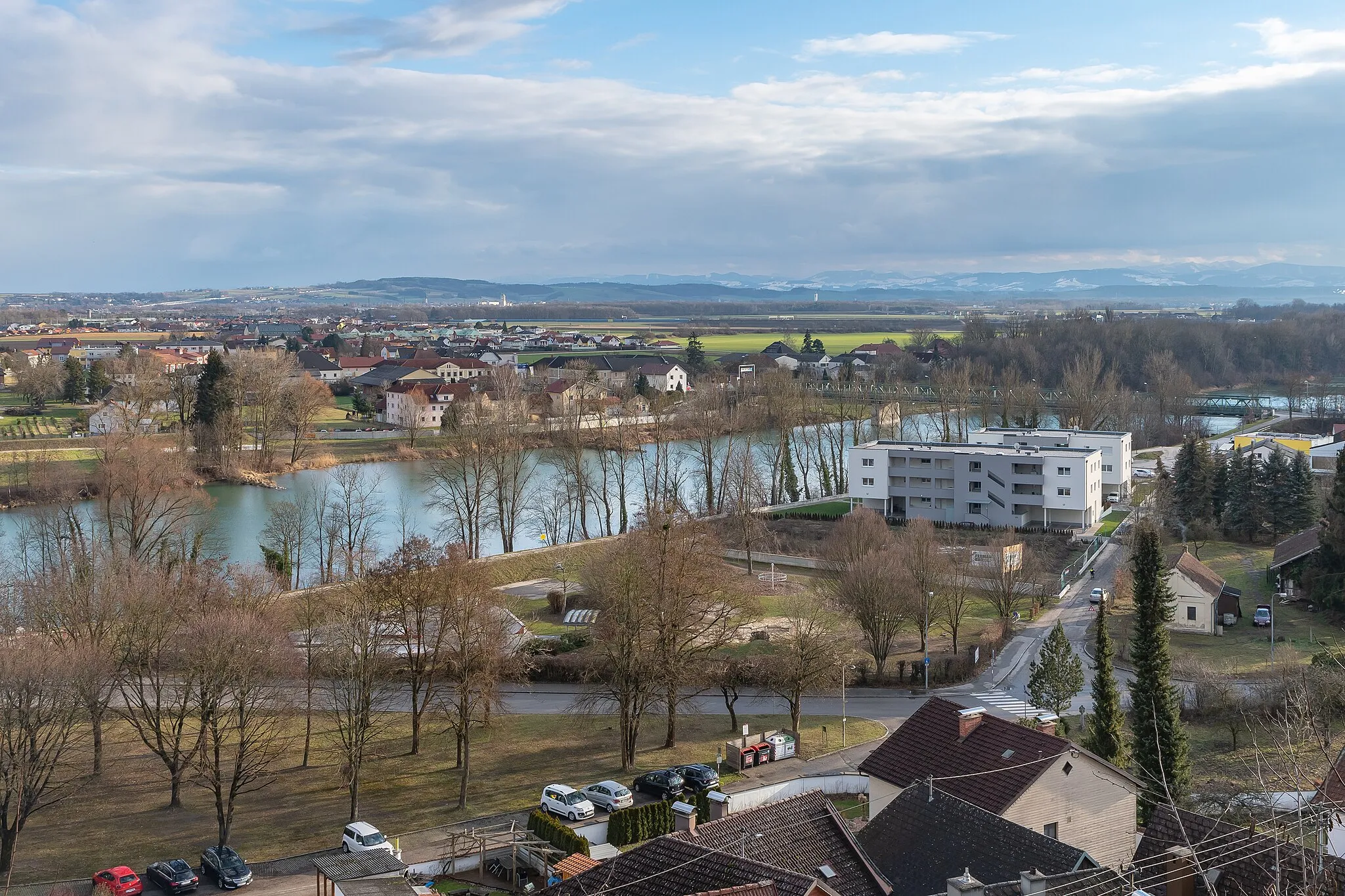
Immerse yourself in a captivating journey as you follow the course of the Danube River through picturesque landscapes and encounter the fascinating Klangvulkan along the way. With a total ascent of 512 meters over a distance of 64 kilometers, this moderately challenging route offers a mix of flat terrain and gentle climbs. Enjoy the tranquility of the riverside as you pedal alongside the majestic Danube, and be awed by the unique and volcanic landscapes near Neuhofen an der Krems and Traun. The highlights of this route include Luftenberg an der Donau, Neuhofen an der Krems, Klangvulkan, Traun, and Steyregg.
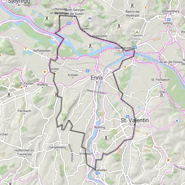
Explore Langenstein and Hofkirchen on this scenic cycling route
This 53-kilometer route takes you through picturesque landscapes and charming towns. With a total ascent of 212 meters, it is suitable for cyclists of all levels. The highlights of this route include Langenstein, Hofkirchen, Kronstorf, and Schloss Tyllisburg. It provides a mix of easy riding and cultural attractions, making it an enjoyable cycling experience for all.

Explore Hohenstein and Ried in der Riedmark on this scenic cycling route
This route takes you through the picturesque town of Hohenstein and Ried in der Riedmark, offering beautiful scenery along the way. With a total ascent of 714 meters and a distance of 41 kilometers, it is a moderate difficulty level suitable for well-trained amateur cyclists. The route offers several highlights, including the Engerwitzdorf and Wartberg ob der Aist. Overall, it provides a mix of challenging climbs and breathtaking views.
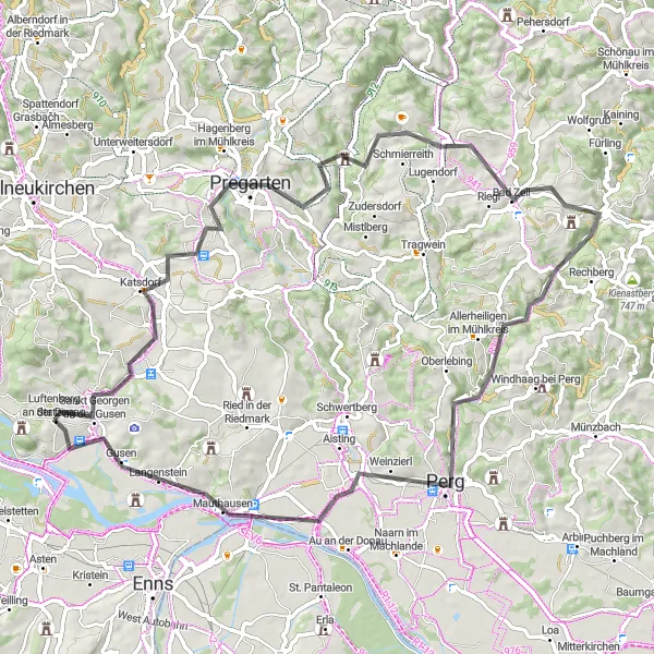
Experience the beauty of Wartberg ob der Aist and Perg on this scenic cycling route
This 70-kilometer route takes you through beautiful landscapes and charming towns. With a total ascent of 1016 meters, it is suitable for well-trained amateur cyclists. The highlights of this route include Wartberg ob der Aist, Bad Zell, Schwammerling, Perg, Mauthausen, and Statzing. It offers a mix of challenging climbs and scenic descents, making it a thrilling adventure for cyclists.
Scenic Countryside Ride
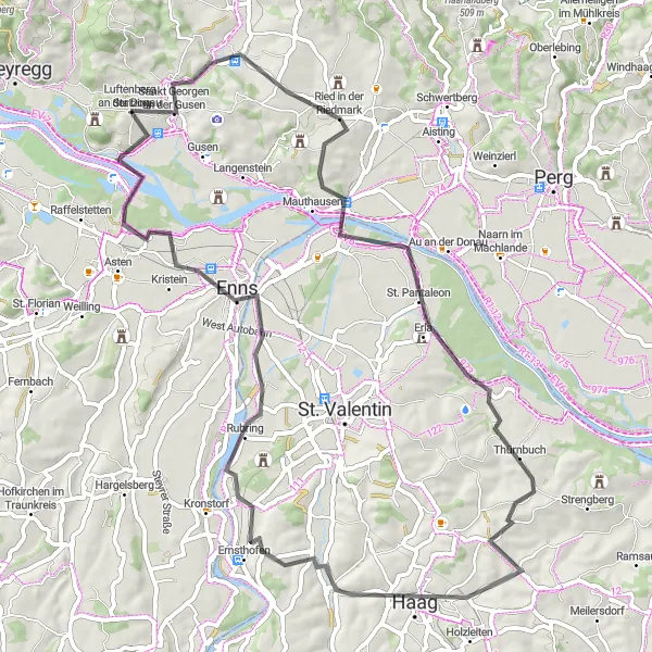
Immerse yourself in the enchanting countryside scenery on this medium difficulty route.
This scenic countryside ride takes you through charming rural landscapes, dotted with small villages and historic landmarks. With a total ascent of 587 meters over a distance of 69 kilometers, this route offers a moderate challenge suitable for cyclists of varying fitness levels. You'll pass through idyllic countryside scenes, including vineyards, rolling hills, and picturesque river valleys. The highlights of this route include Vogelleite, Mauthausen, Schloss Erla, Ernsthofen, Stadtturm, and Statzing.
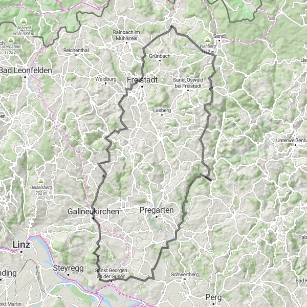
Experience the beauty of Gallneukirchen and Freistadt on this scenic cycling route
This challenging 109-kilometer route takes you through stunning landscapes and charming towns. With a total ascent of 2169 meters, it is suitable for experienced cyclists seeking a demanding adventure. The highlights of this route include Hohenstein, Gallneukirchen, Zeißberg, Freistadt, Teufelskanzel, and Statzing. It offers a mix of challenging climbs and rewarding descents, making it suitable for cyclists looking for a thrilling ride.
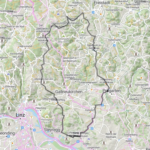
Experience an exhilarating ride with stunning views and a mix of challenging climbs.
This challenging hilly loop takes you through picturesque and diverse landscapes, offering breathtaking views along the way. With a total ascent of 1429 meters over a distance of 77 kilometers, this route is ideal for experienced cyclists seeking a difficult yet rewarding adventure. You'll encounter a variety of terrains, including rolling hills and steep climbs, making it the perfect challenge for those looking to push their limits. The highlights of this route include Hagerberg, Altenberg bei Linz, Lichtenstein, Neumarkt im Mühlkreis and Wartberg ob der Aist.

Embark on an exciting cycling adventure to Ebelsberg Castle and Steyregg
This challenging 95-kilometer route takes you through beautiful landscapes and historic towns. With a total ascent of 741 meters, it is suitable for experienced amateur cyclists. The highlights of this route include Ebelsberg Castle, Langholzfeld, Eferding, and Steyregg. The route offers a mix of picturesque countryside views and cultural attractions.
Cycling routes nearby:

Nearby regions: