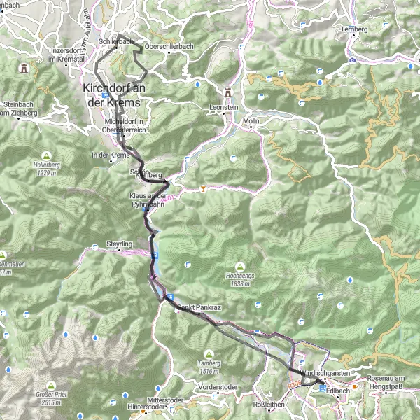
Cycling through scenic landscapes in Schlierbach
Cycling routes from Schlierbach
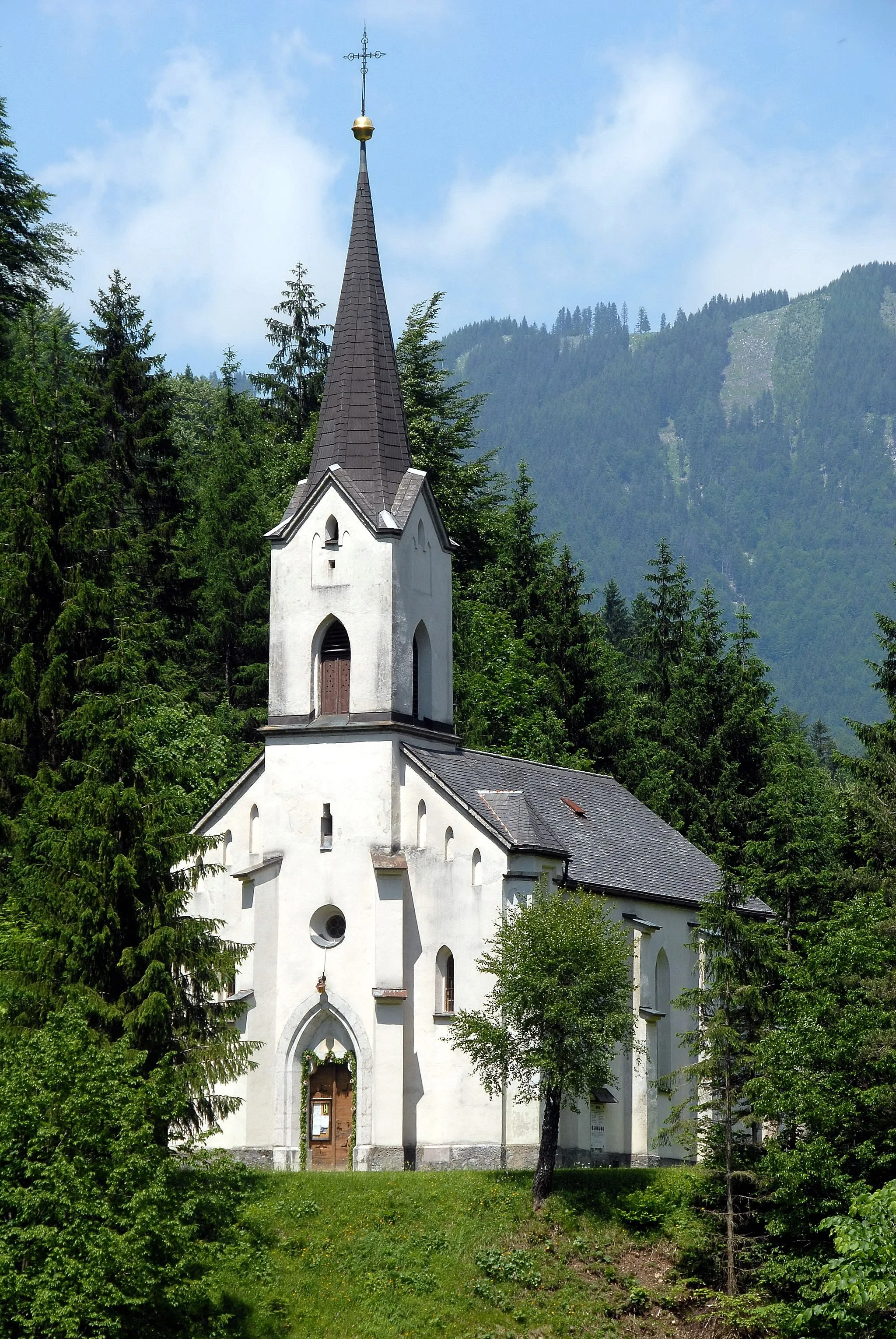
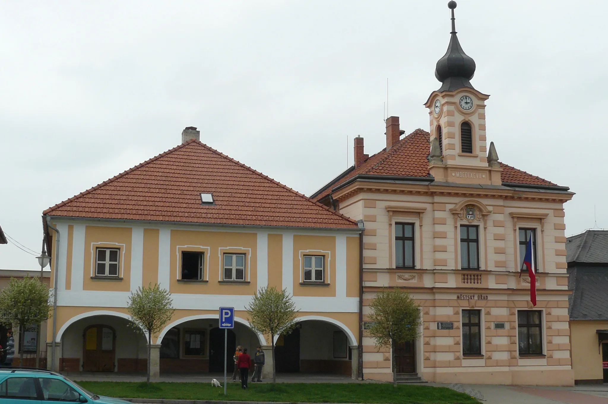
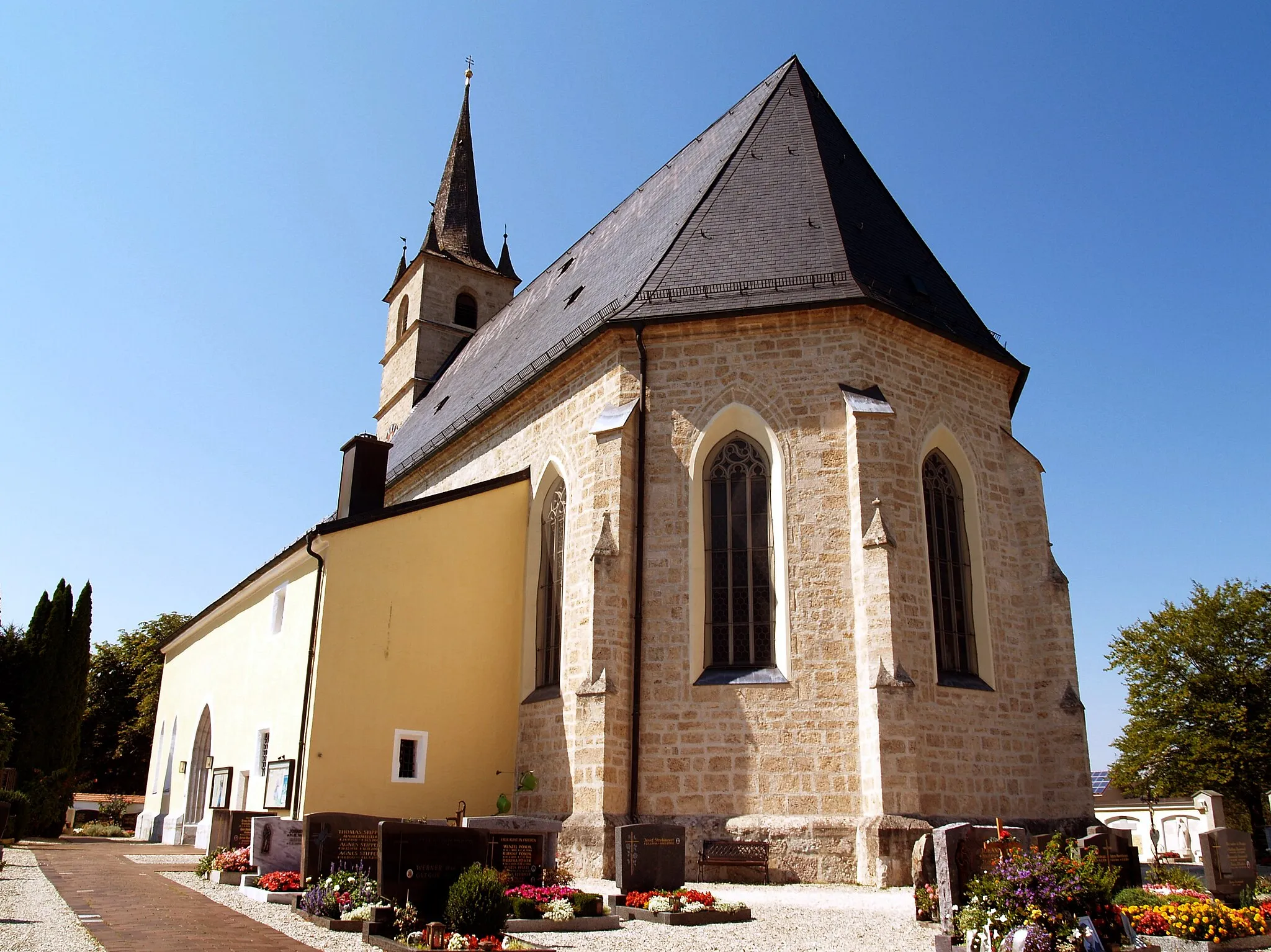
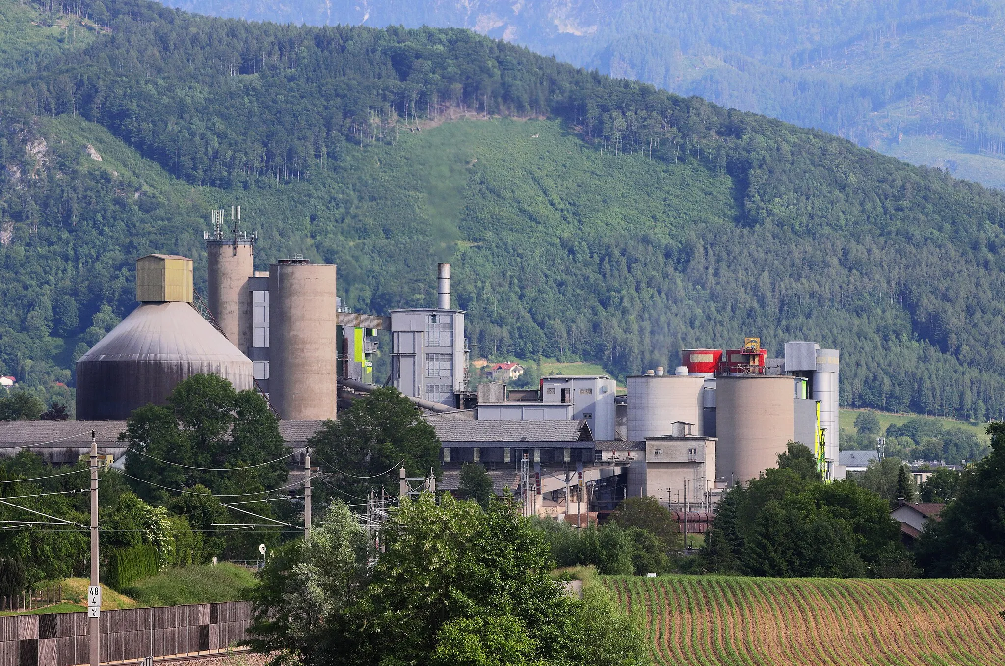
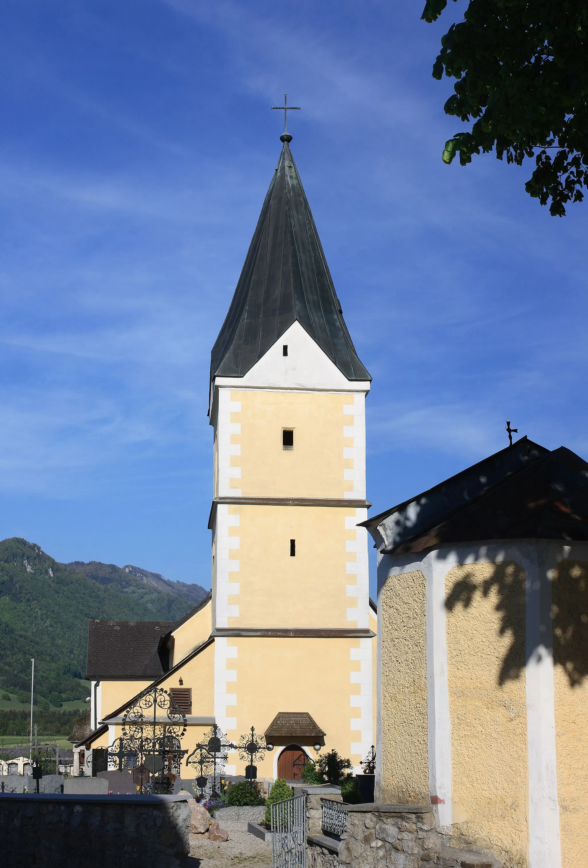
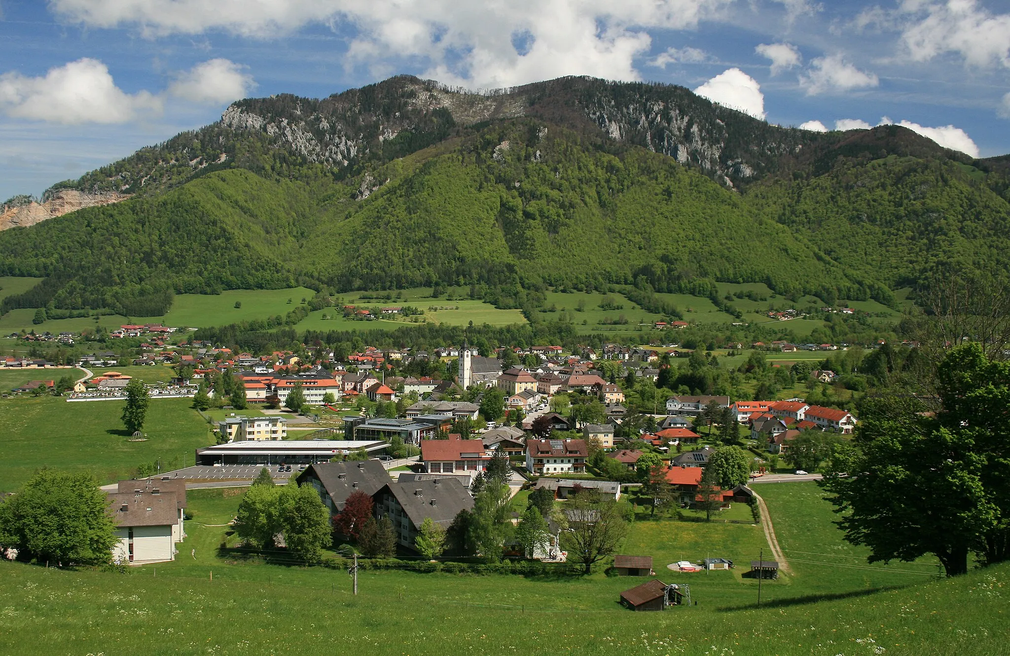
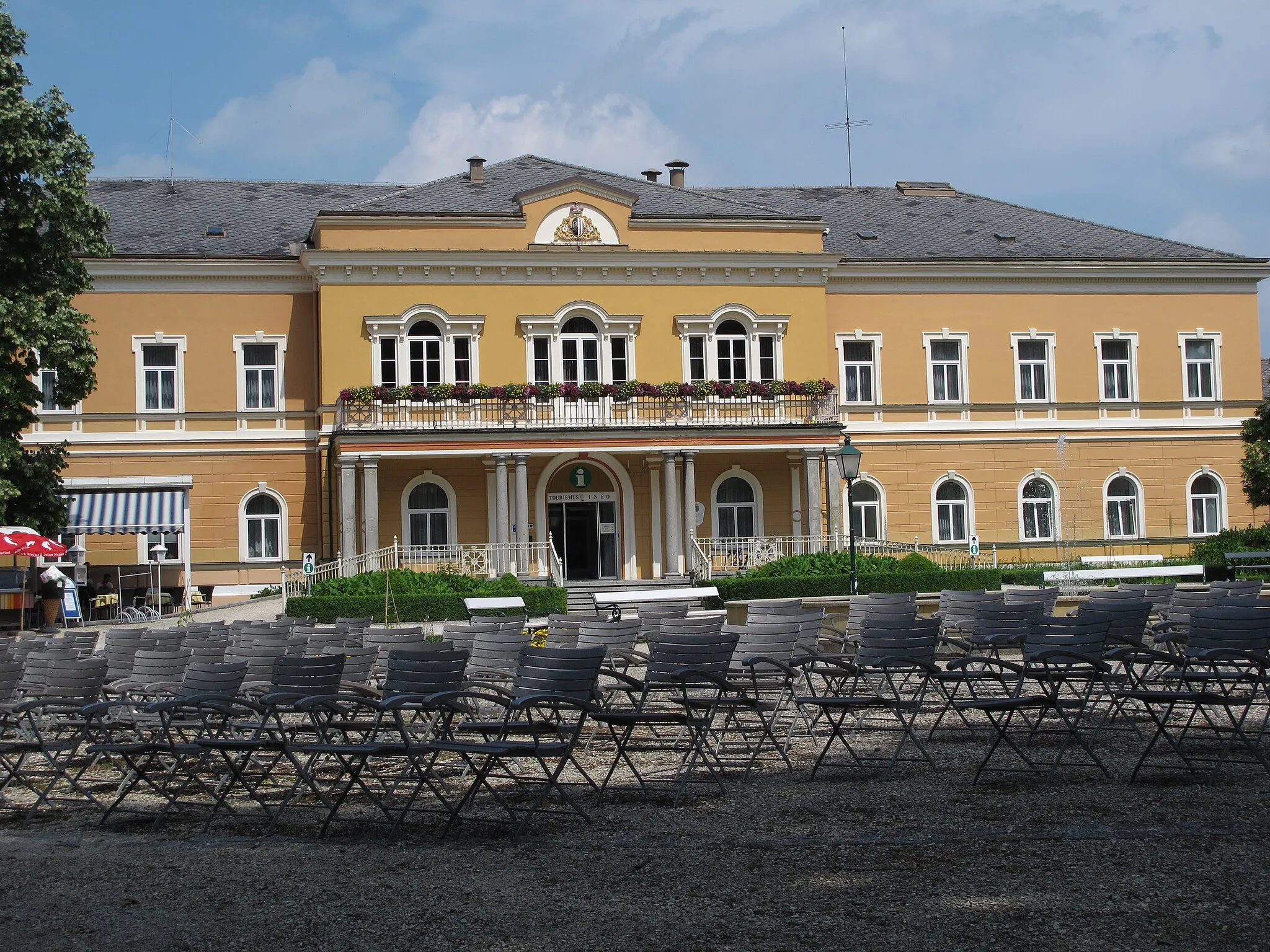
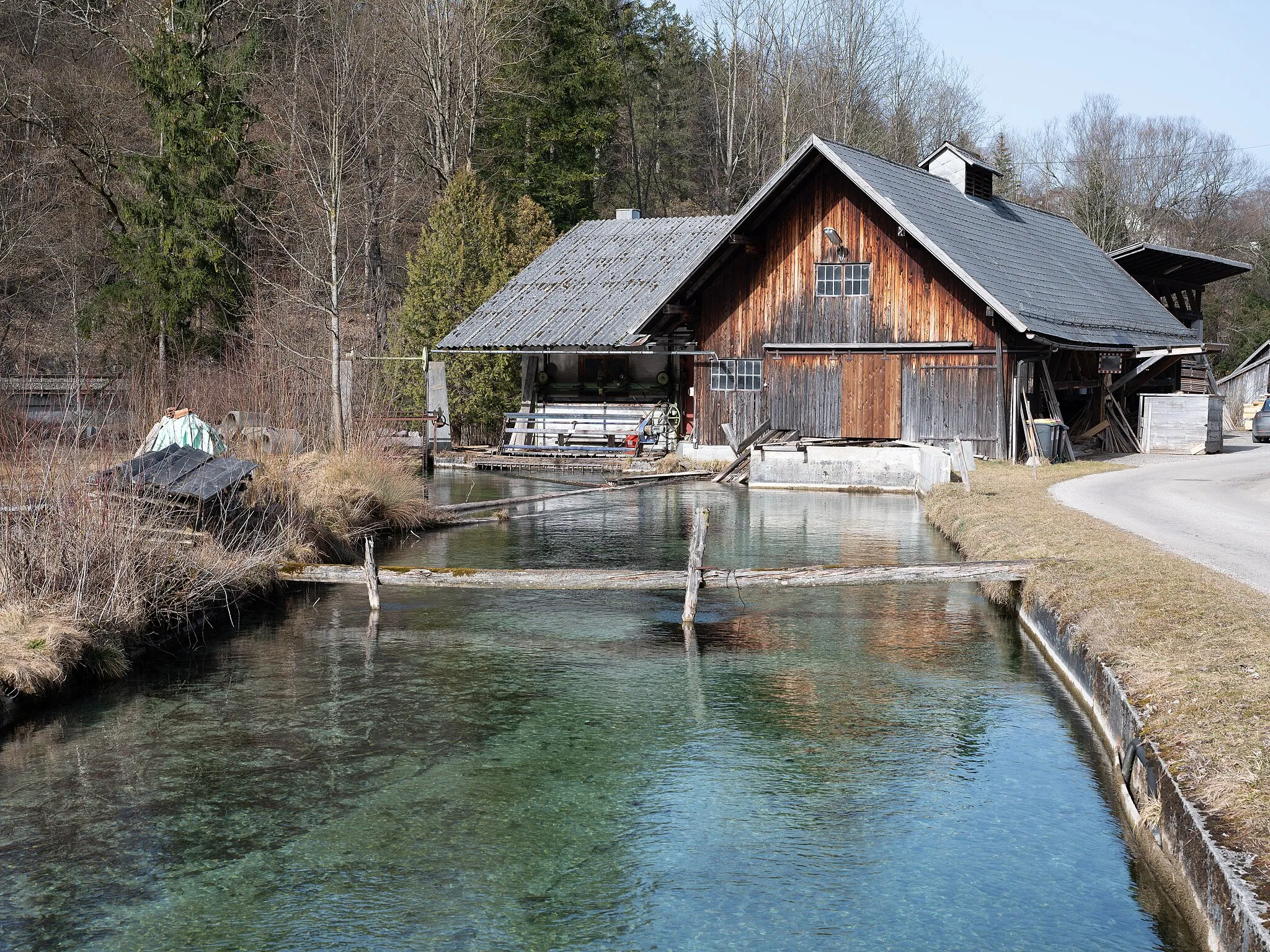
Schlierbach is a picturesque locality situated in Oberösterreich, Austria. It offers road and gravel cyclists a variety of scenic routes with beautiful countryside and mountain views. The region is well-known for its cycling-friendly infrastructure, including designated cycling paths and facilities. Nearby, the Großer Höss Mountain is a popular spot for cycling enthusiasts seeking a challenging climb. Schlierbach receives a ranking of 4 for its excellent cycling opportunities and stunning surroundings.
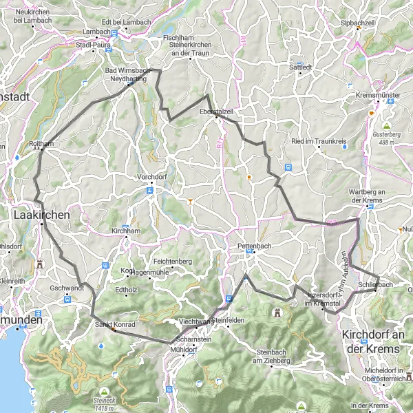
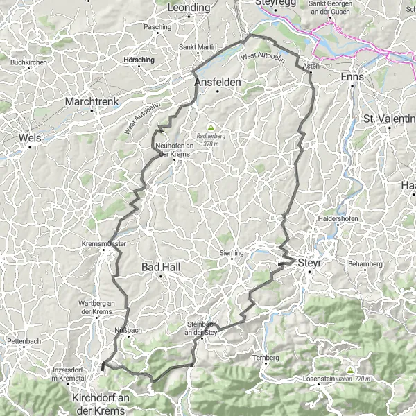
Discover the scenic countryside and charming villages near Schlierbach on this road cycling route.
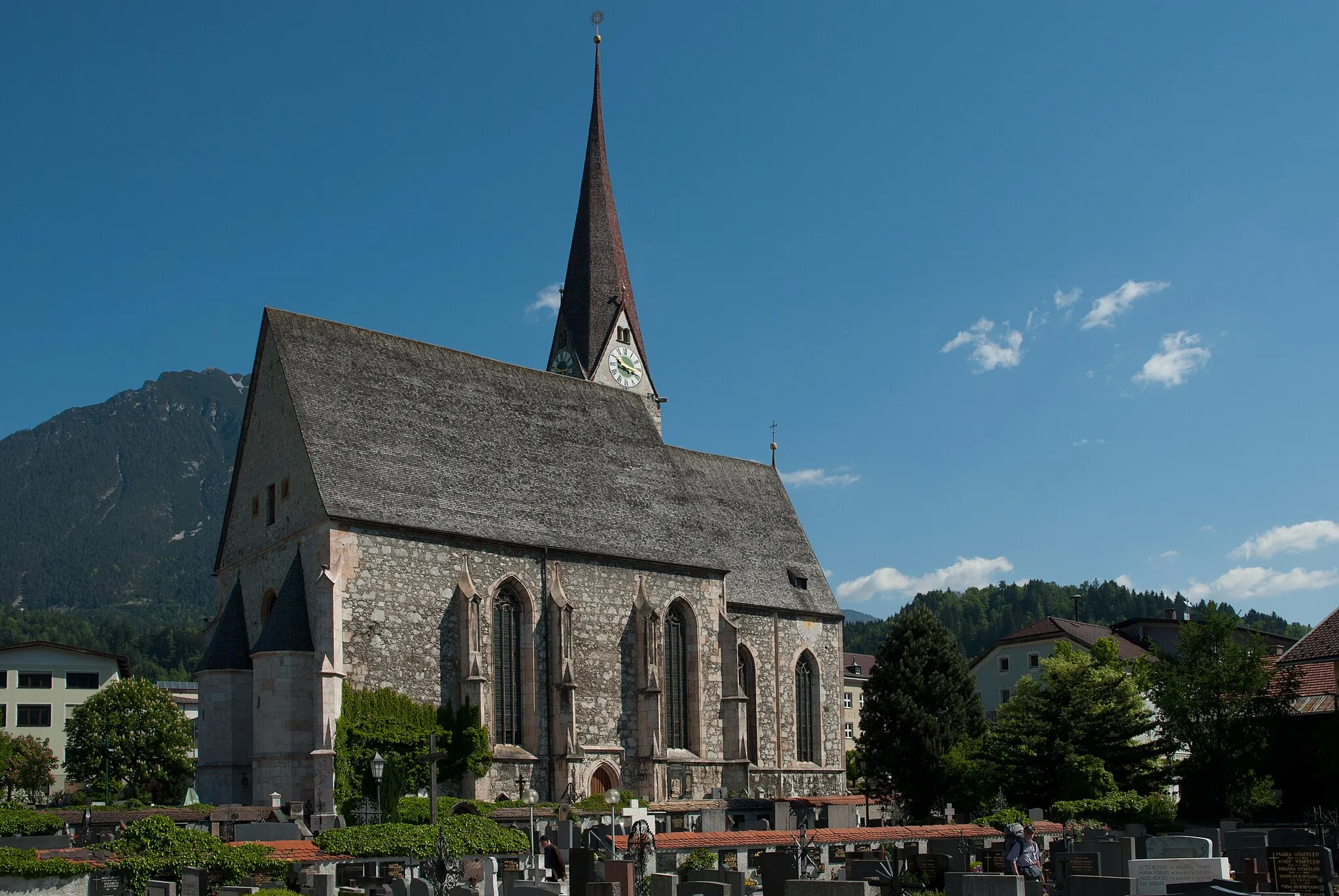
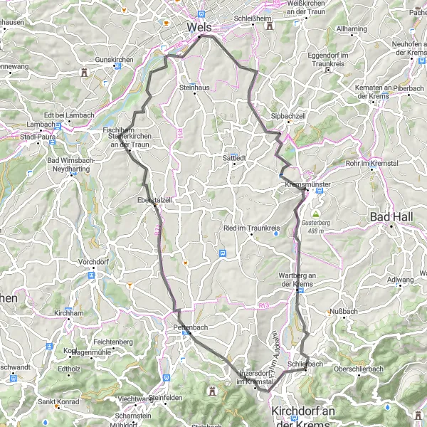
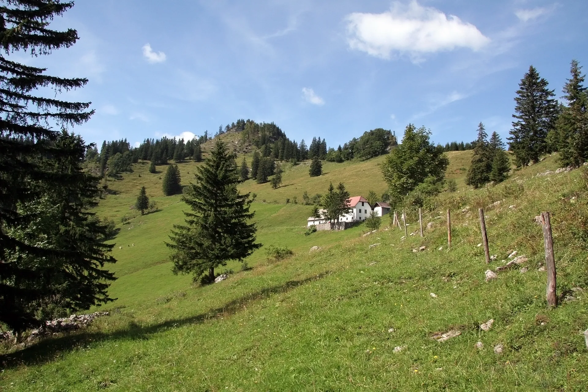
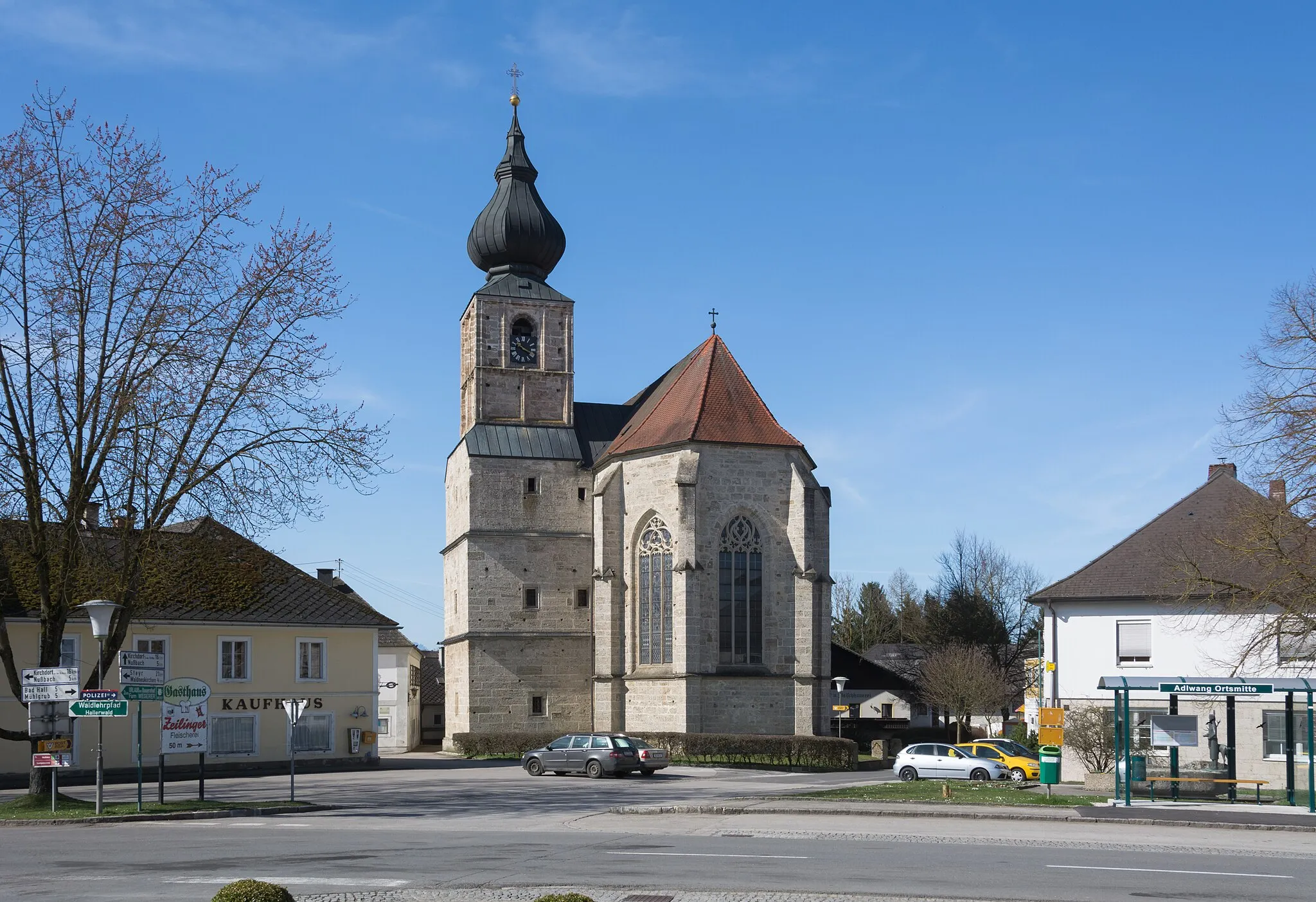
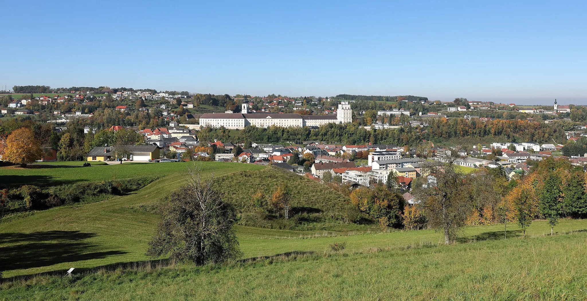
This road cycling route near Schlierbach is a delightful journey through the picturesque Austrian countryside. With a total distance of 73 kilometers and an ascent of 854 meters, it offers a moderately challenging ride for well-trained amateurs. The route is characterized by rolling hills, green meadows, and beautiful views of the surrounding mountains. Along the way, cyclists will pass through several quaint villages such as Pettenbach, Eberstalzell, Thalheim bei Wels, and Wartberg an der Krems. These villages are known for their traditional architecture, charming streets, and friendly atmosphere. For a break and some sightseeing, make sure to visit highlights such as the Stift Kremsmünster with its impressive architecture, the Marienwarte lookout with panoramic views, and the Aussichtsterrasse viewpoint offering stunning vistas of the surrounding landscapes.
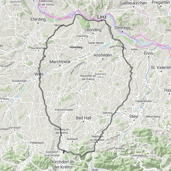
Experience the charm of picturesque villages and serene landscapes near Schlierbach
This road cycling route covers a distance of 82 kilometers with an ascent of 984 meters. Immerse yourself in the idyllic beauty of the region as you pass through charming villages and enjoy the tranquil countryside.
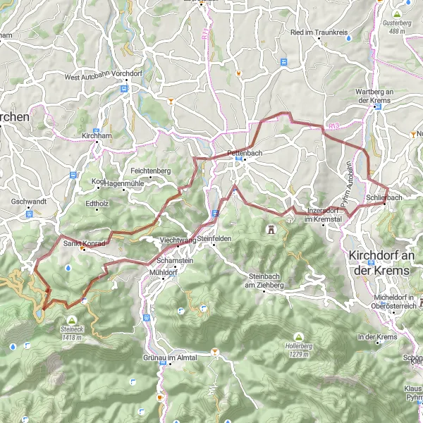
Schlierbach Gravel Adventure
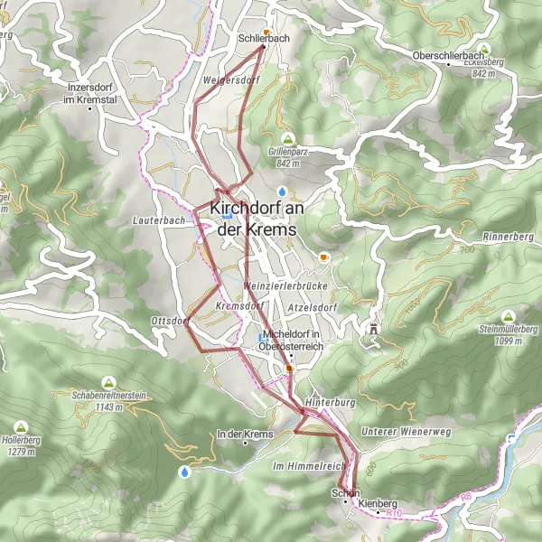
Embark on a thrilling gravel adventure near Schlierbach
This 27-kilometer route takes you on a gravel adventure through scenic landscapes near Schlierbach. With a moderate ascent of 295 meters, this route is perfect for gravel enthusiasts of all levels. Enjoy the peaceful surroundings as you explore the beautiful region.
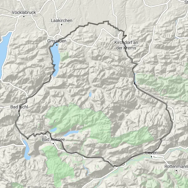
Experience the beauty of Upper Austria on this challenging road cycling route
This round-trip cycling route starting near Schlierbach takes you on a journey through the stunning landscapes of Upper Austria. With a total distance of 196 kilometers and an elevation gain of 2804 meters, this route is suitable for well-trained amateur cyclists seeking a challenge. The route showcases the diverse beauty of the region, from quaint towns to impressive mountains.
Eastern Escape
Embark on a scenic cycling journey through the eastern region of Schlierbach.
The Eastern Escape is a thrilling road cycling route that takes you through the picturesque landscapes of Oberösterreich, Austria. With a challenging ascent of 1406m, covering a distance of 117km, this route promises an exciting adventure for well-trained amateurs. Highlights include the picturesque Steinbachbrücke Abzw Bahnhst and the stunning panoramic views from the Kaibling stop. With a difficulty level of 4 and an epicness rating of 3, the Eastern Escape offers a memorable cycling experience. Traverse through beautiful locations like Laakirchen, Schwanenstadt, and Meggenhofen, and immerse yourself in the charm of these enchanting places.
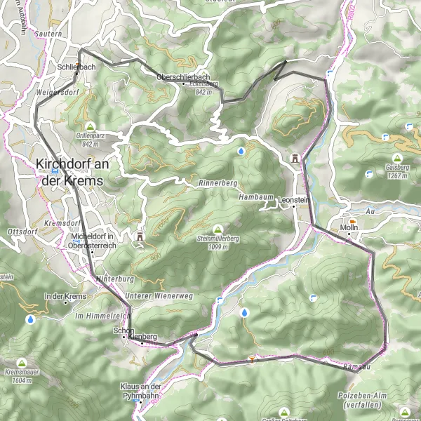
Embark on an exciting gravel adventure near Schlierbach, a perfect route for off-road enthusiasts.
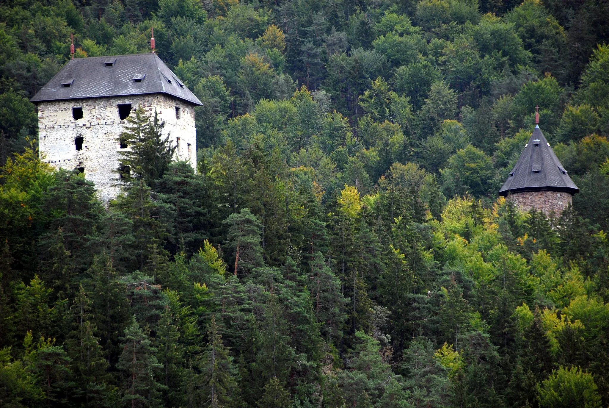
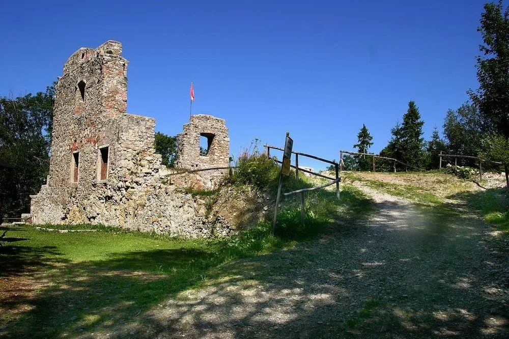
For those seeking off-road adventures near Schlierbach, this gravel cycling route is perfect. With a distance of 66 kilometers and an ascent of 1434 meters, it provides a challenging and thrilling experience for well-trained amateurs. The route takes cyclists through rugged terrain, gravel paths, and forested areas, offering a true sense of exploration. Along the way, you'll encounter picturesque landscapes, quiet surroundings, and the untouched beauty of nature. Highlights include the ancient oak tree, a thousand years old, the historic Schloss Scharnstein castle, and the idyllic village of Inzersberg. These spots are truly unique and offer a glimpse into the history and culture of the region.
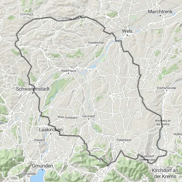
Discovering Hidden Gems
Uncover hidden gems and natural wonders on this road cycling route near Schlierbach
With a distance of 49 kilometers and an ascent of 804 meters, this route takes you on a journey through stunning landscapes and unspoiled nature. Along the way, explore hidden gems and experience the rich cultural heritage of the region.
Enjoy breathtaking vistas on the Majestic Mountainview cycling route near Schlierbach.
The Majestic Mountainview route offers an exhilarating cycling experience through the awe-inspiring mountains of Oberösterreich, Austria. With a challenging ascent of 1643m and covering a distance of 121km, this road cycling route is ideal for skilled amateurs seeking a thrilling adventure. Highlights include the majestic Hochkogl mountain and the historic Stift Kremsmünster. With a difficulty level of 5 and an epicness rating of 4, the Majestic Mountainview route guarantees an unforgettable journey. Explore picturesque locations like Kematen an der Krems, Solar-City, and Aschach an der Steyr, and be captivated by their natural and cultural wonders.
Mountain Majesty
Embark on a thrilling journey through the majestic mountains near Schlierbach.
The Mountain Majesty route is a challenging road cycling adventure that takes you through the awe-inspiring mountain landscapes of Oberösterreich, Austria. With a demanding ascent of 1582m, covering a distance of 136km, this route promises an unforgettable experience for skilled amateurs. Highlights include the picturesque town of Wartberg an der Krems, offering stunning views, and the scenic Marienwarte viewpoint. With a difficulty level of 5 and an epicness rating of 4, the Mountain Majesty route guarantees an adrenaline-fueled cycling journey. Explore the beautiful locations like Alkoven, Linz, and Wolfern, and be enchanted by their natural splendor.
Experience the majestic beauty of Schlierbach and its surrounding areas on this scenic cycling route.
Embark on a breathtaking cycling adventure through the picturesque landscapes near Schlierbach in Oberösterreich, Austria. This round-trip route spans across 86 kilometers and includes a challenging ascent of 1337 meters. Suitable for road bikes, this route promises both thrilling challenges and stunning sights.
Cycling routes nearby:
Nearby regions: