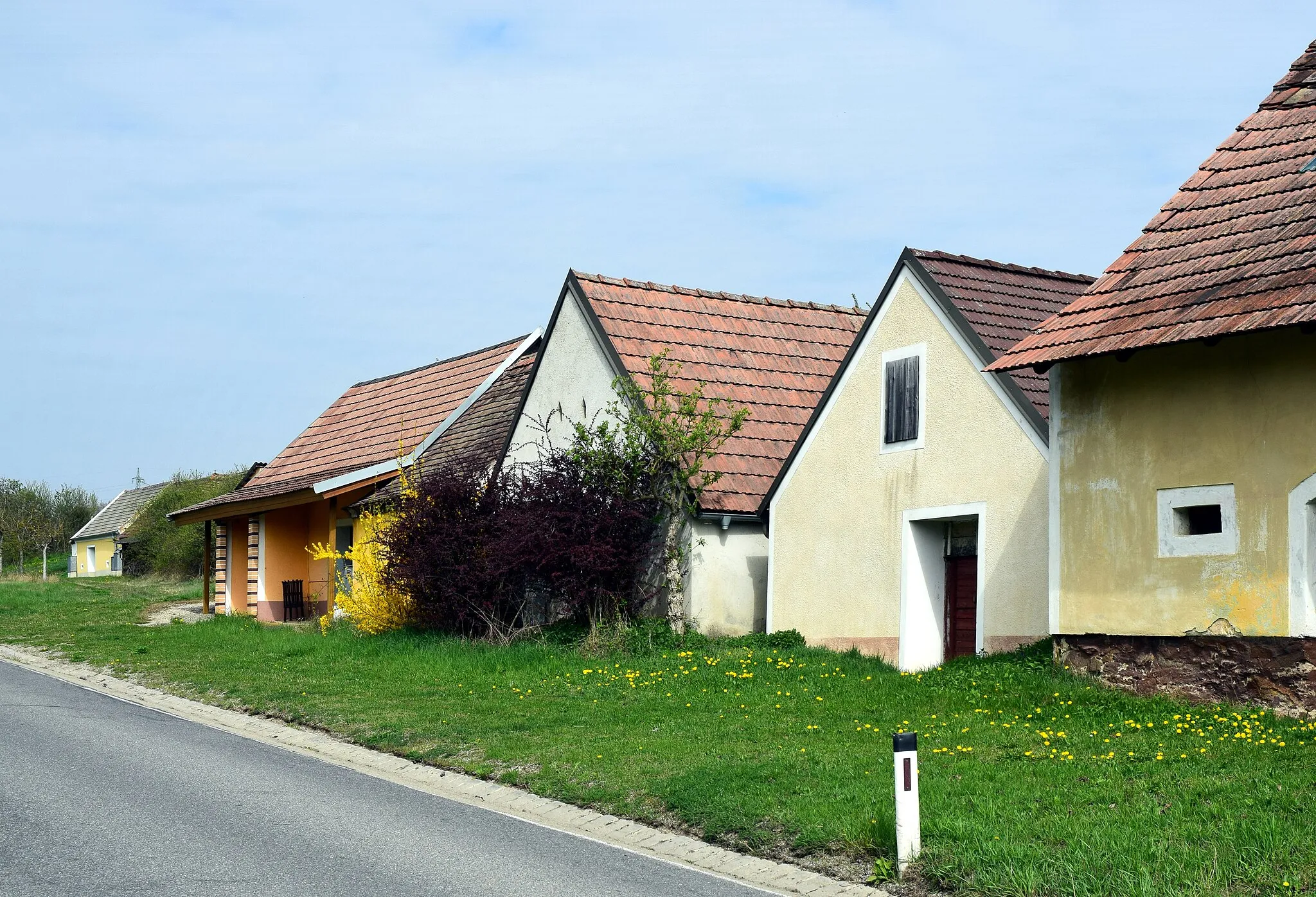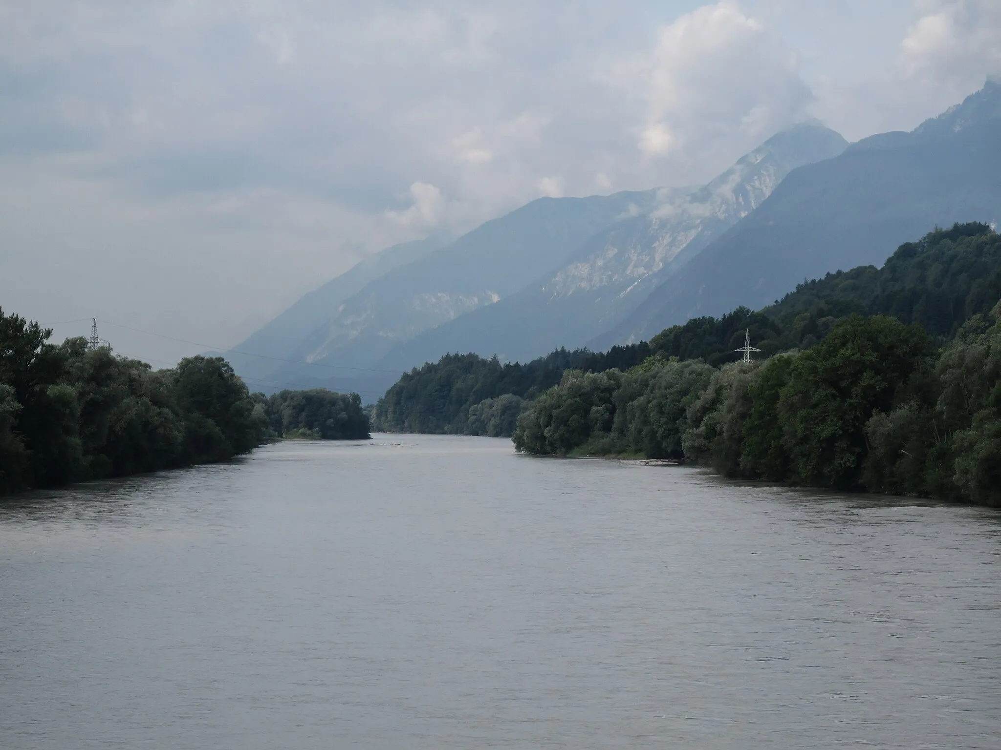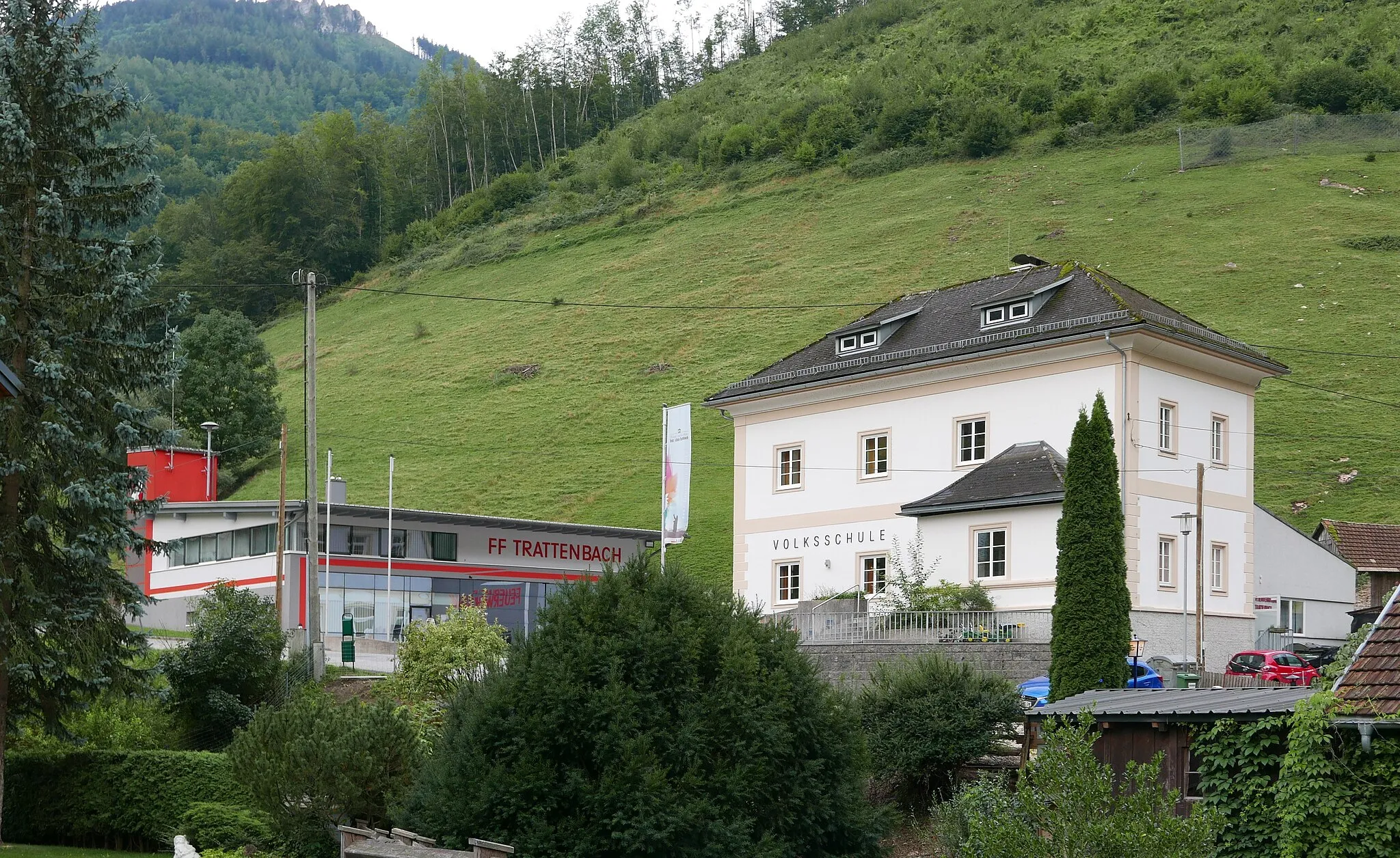
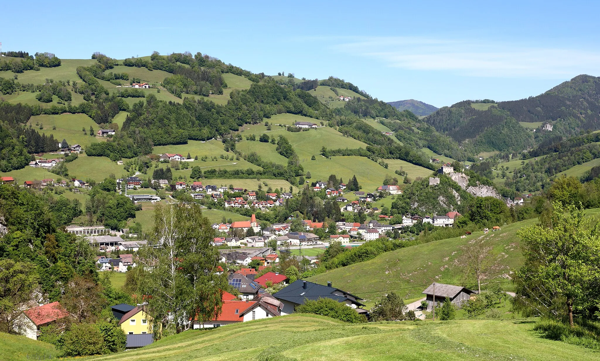
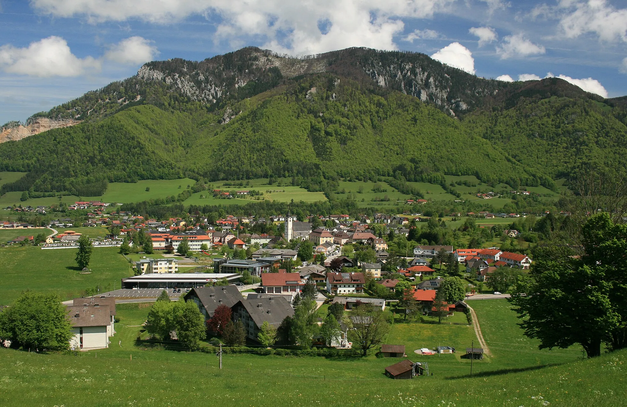
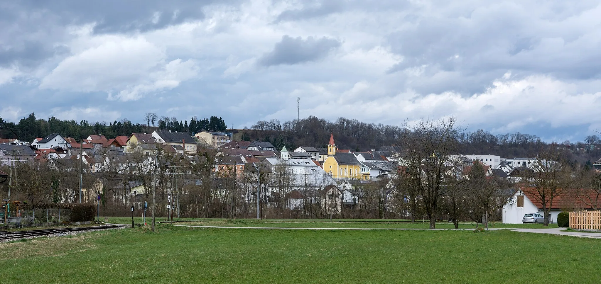
Scenic rides through rolling hills in Ternberg, Austria.
Cycling routes from Ternberg
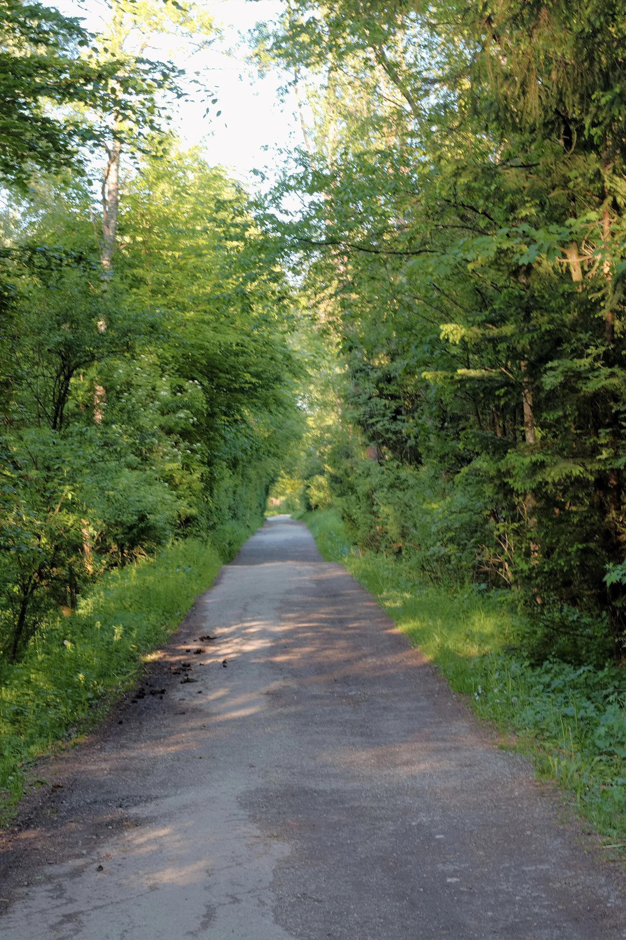
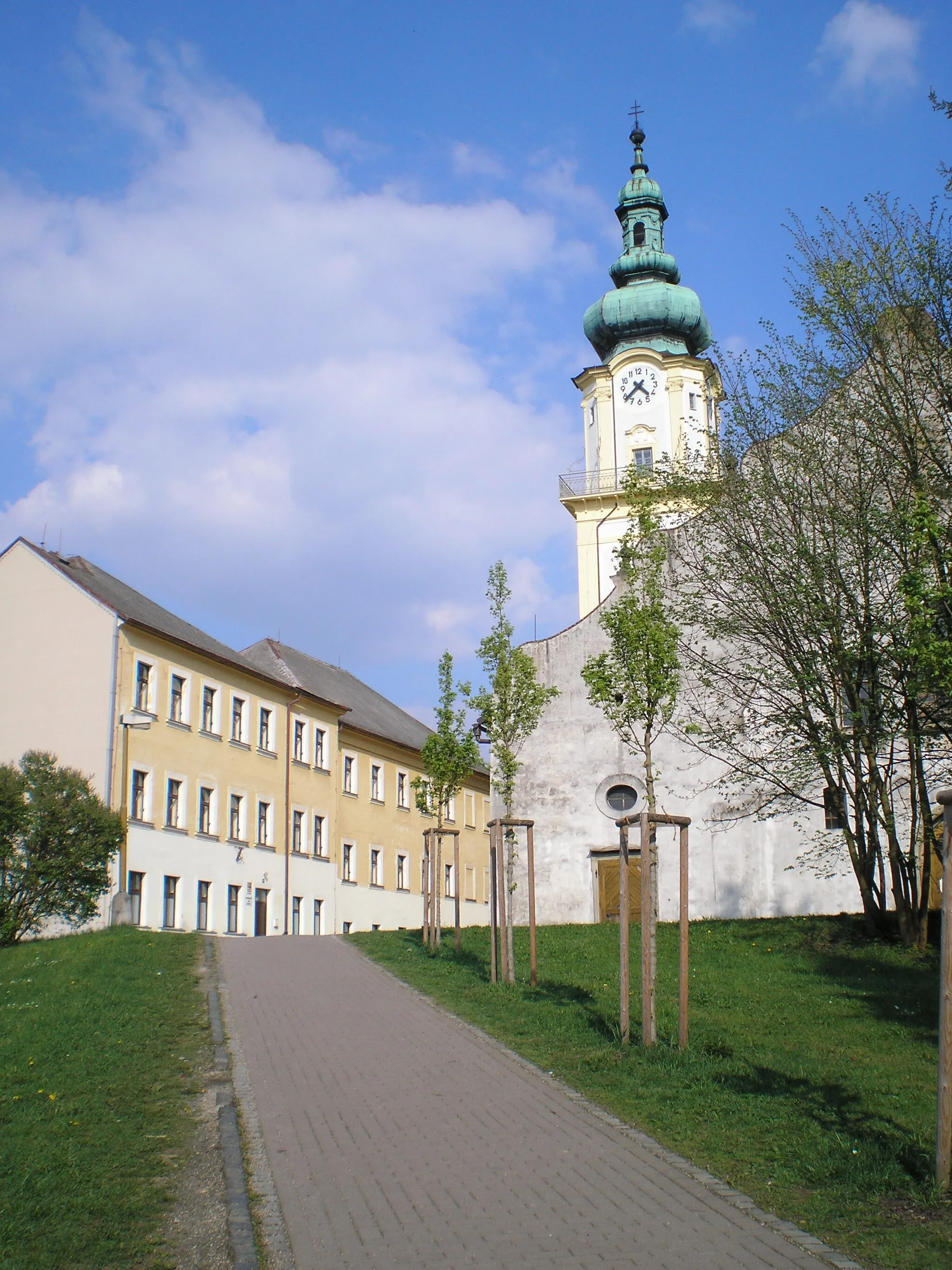
Ternberg is a locality in Oberösterreich, Austria. From a road and gravel cyclist's perspective, Ternberg offers scenic routes with rolling hills and picturesque landscapes. The region is cycling-friendly, with well-maintained roads and minimal traffic. The locality is an ideal base for exploring the surrounding countryside and enjoying long rides through the countryside. There are no famous cycling-related spots or well-known climbs nearby, but cyclists can enjoy exploring the tranquil countryside and charming villages.
Jochberg Circuit
Explore the challenging Jochberg circuit with stunning scenery and exciting road conditions.
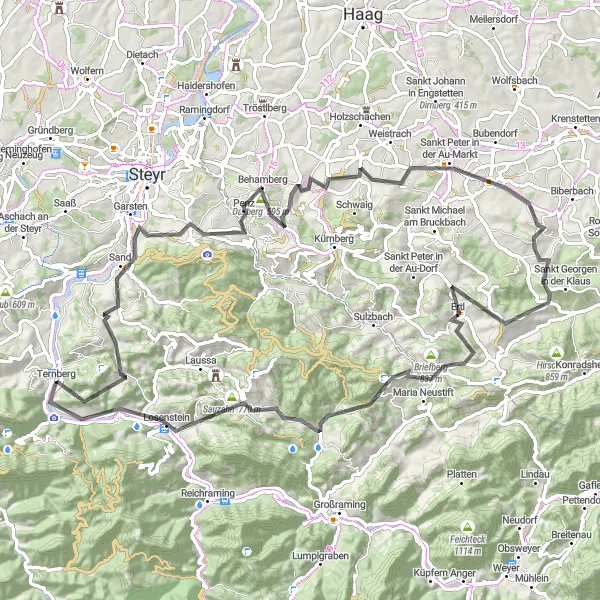
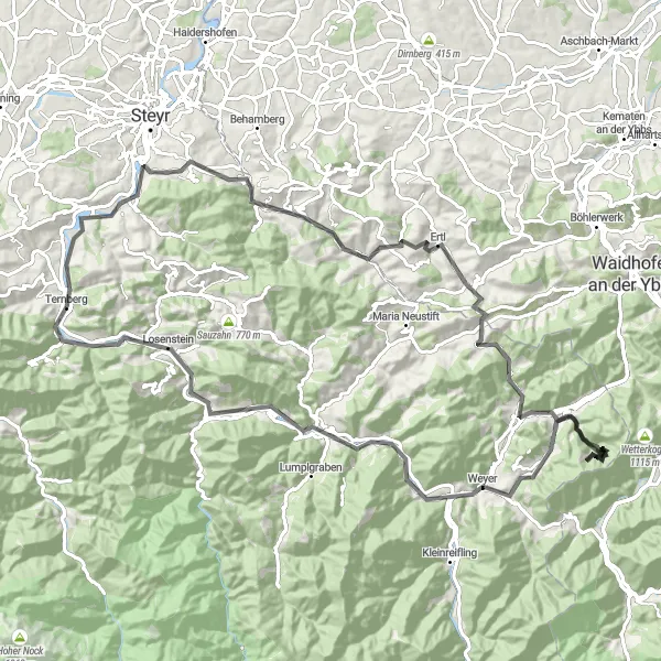
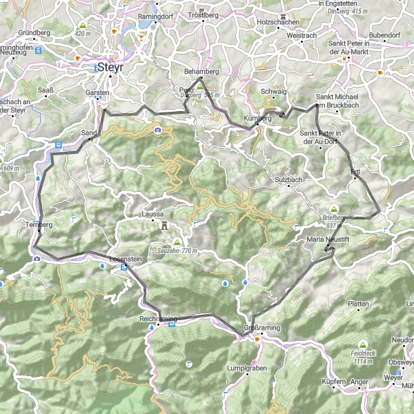
The Jochberg circuit near Ternberg offers a thrilling cycling experience with its challenging terrain and picturesque landscapes. This 92-kilometer route takes cyclists through various highlights, including Jochberg itself, Garsten, Behamberg, Daxberg, Stift Seitenstetten, Blümelsberg, Ertl, Glasenberg, Sauzahn, Losenstein, and Ternberg Süd. With an ascent of 2556 meters, this route is best suited for well-trained amateur cyclists looking for a daring and adventurous ride. The epicness of the Jochberg circuit is rated at 4, making it an exciting option for cyclists seeking a memorable cycling experience.
Hochhub Loop
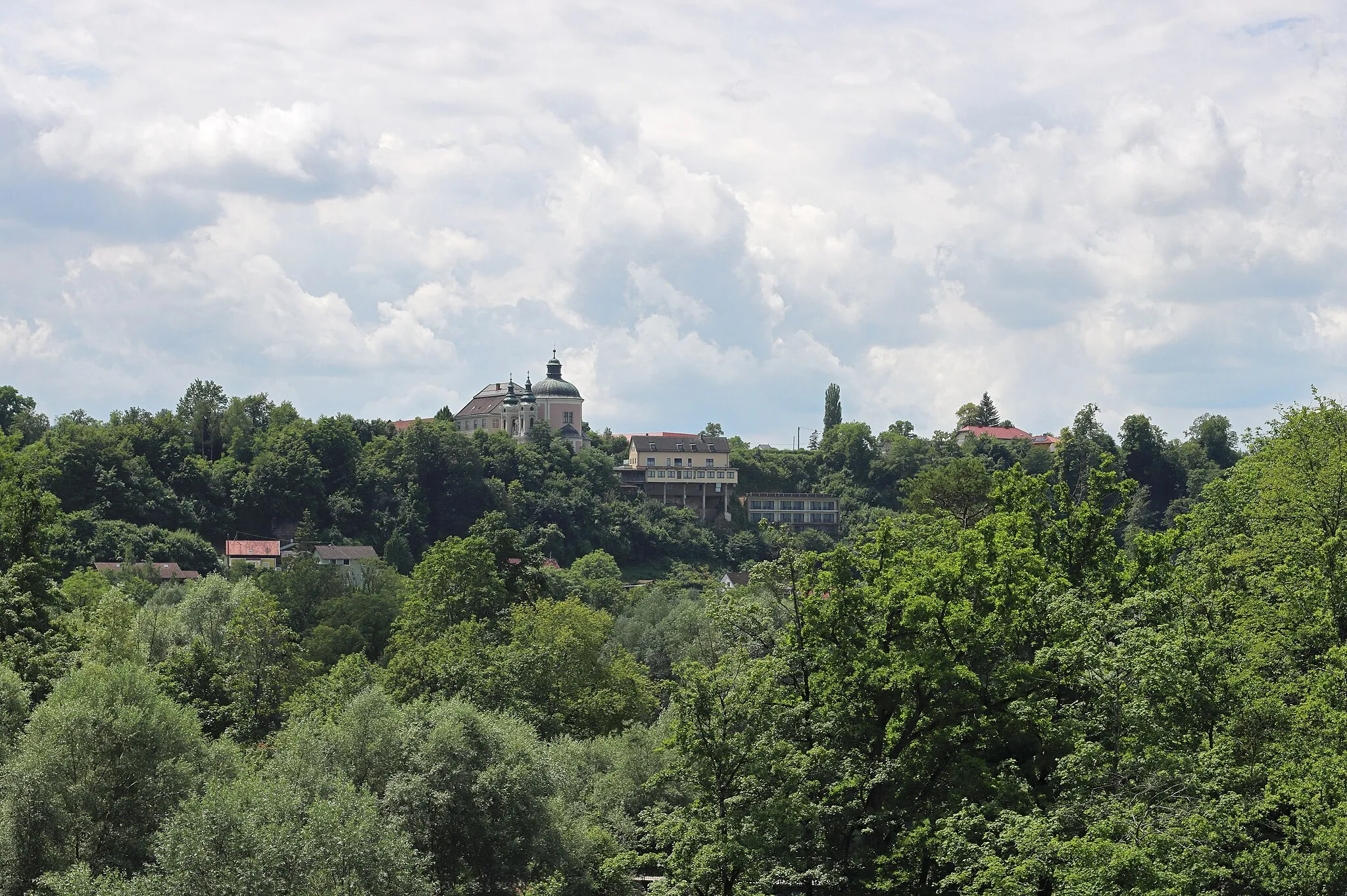
Cycling through Ternberg's beautiful surroundings
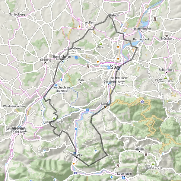
The Hochhub Loop is a scenic cycling route starting near Ternberg, Oberösterreich, Austria. This road route covers a distance of 83 kilometers with an ascent of 1804 meters. The route takes you through the charming villages of Waldneukirchen, Buchenberg, and Steinbach an der Steyr, offering beautiful countryside views and small-town charm. It is a moderately difficult route suitable for well-trained amateur cyclists. The epicness of this route is rated 3, making it a great option for those looking for a challenging but enjoyable ride. Highlights along the route include the historical Hochhub site, where you can learn about the village's past, and the picturesque Ternberg Süd, a perfect spot for a rest and to take in the stunning views of the surrounding scenery. Overall, the Hochhub Loop provides an excellent cycling experience showcasing the natural beauty and heritage of the region.
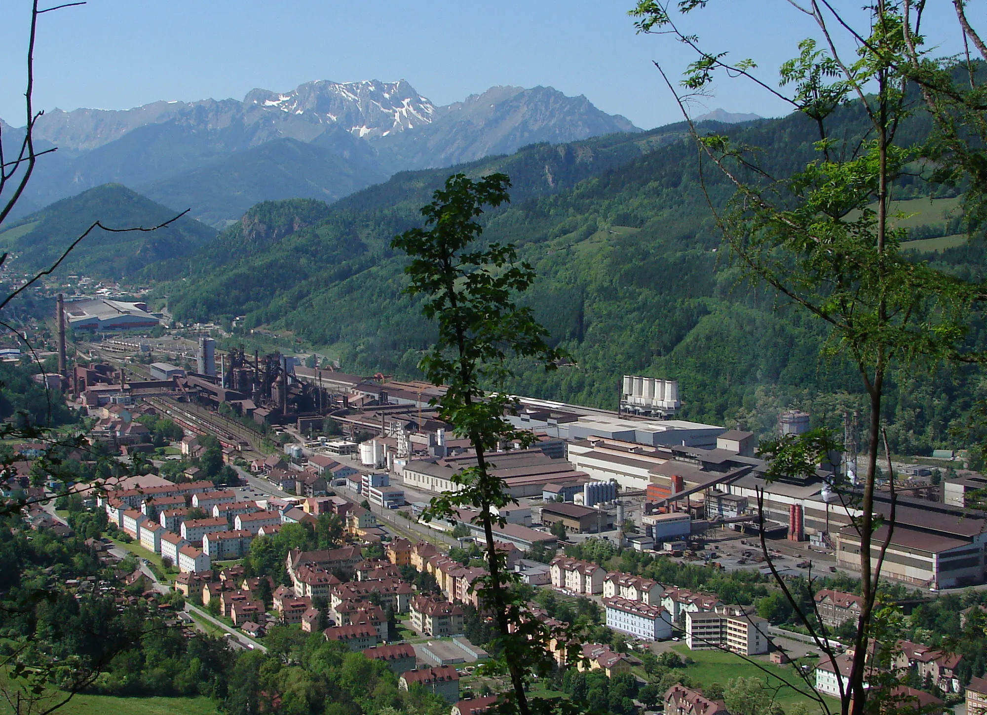
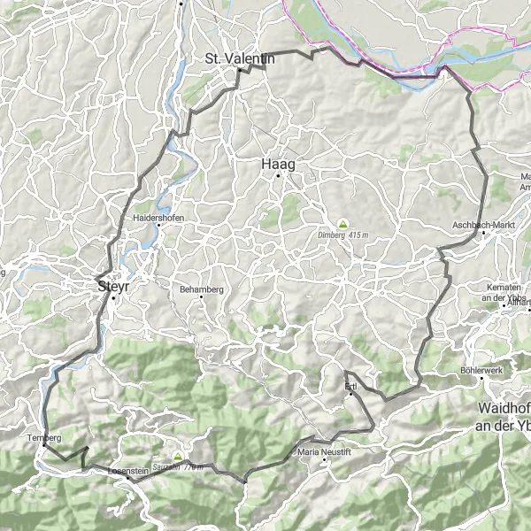
Steyr Valley Road Loop
Embark on a captivating road cycling adventure through the picturesque Steyr Valley
The Steyr Valley Road Loop is a scenic and moderately challenging cycling route that takes you through the beautiful Steyr Valley. With a total distance of 122km and an ascent of 2054m, this road route offers a great cycling experience for intermediate riders. Starting in Ternberg, you'll pass through highlights such as Steyr, Tabor, and Aschbach-Markt. The route provides stunning views of Steyr's historical old town, charming villages like Hummelberg, and impressive landmarks such as Schloss Wallsee. The difficulty level is rated at 3 out of 5, suitable for intermediate cyclists. With an overall epicness score of 3 out of 5, the Steyr Valley Road Loop offers a memorable and enjoyable ride.
A challenging road biking route through the picturesque Steyr Valley
The Steyr Valley Loop takes you on a memorable journey through the stunning Steyr Valley. It is a challenging road cycling route that offers beautiful views, quaint villages, and a mix of flat stretches and challenging climbs. The 103-kilometer route features a total ascent of 2,297 meters, making it perfect for experienced cyclists looking for a challenging adventure. Along the way, you will pass through highlights such as Sankt Ulrich bei Steyr, Damberg, Ertl, Freithofberg, Gaflenz, and the famous Kronstein.
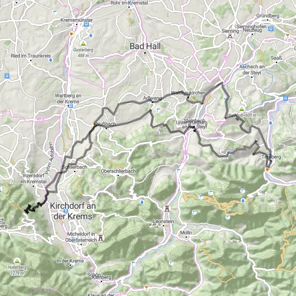
Gravel Adventure to Molln
Embark on an exciting gravel adventure to Molln through beautiful countryside
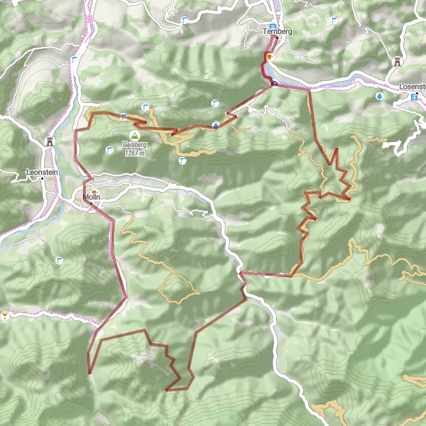
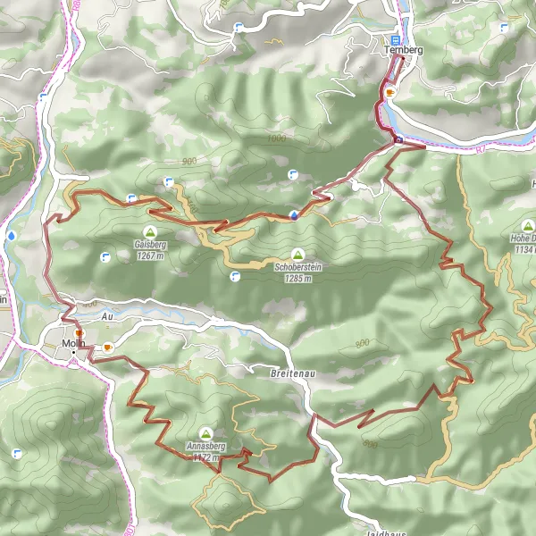
The Gravel Adventure to Molln is a thrilling cycling route that takes you through beautiful countryside and offers a mix of gravel roads and off-road trails. The 65-kilometer journey features a total ascent of 2,399 meters, making it ideal for cyclists looking for a challenging off-road experience. Along the way, you will pass highlights such as the largest pocketknife in the world, Hohe Dirn, Ramsauer Größtenberg, and the charming town of Molln.
Embark on an epic gravel tour through challenging terrain to Ternberg
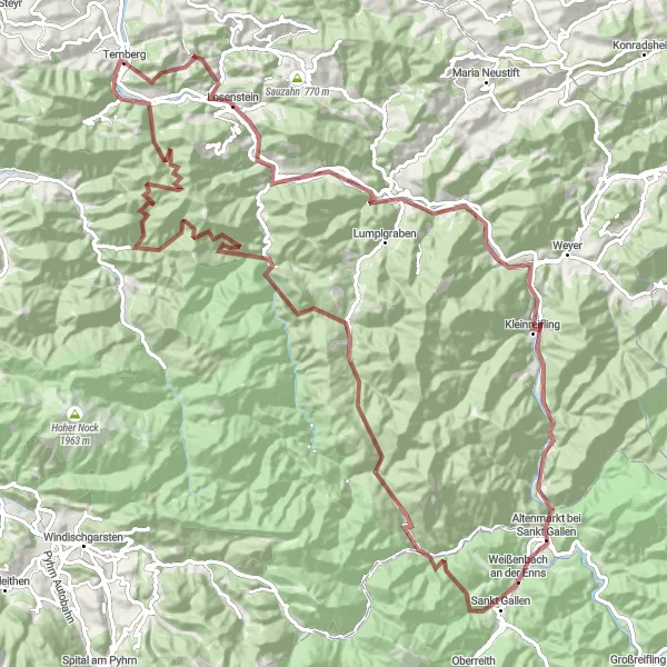
The Challenging Gravel Tour to Ternberg is a 117-kilometer cycling route that takes you through breathtaking landscapes and challenging terrain. With a total ascent of 3,794 meters, this route is suited for experienced cyclists seeking an adrenaline-pumping adventure. Along the way, you will pass highlights such as Reichraming, Hieselberg, Kleinreifling, Pfaffenstein, and Ternberg Süd, providing opportunities to appreciate the natural beauty of the region and test your cycling abilities.
Gravel Adventure
Embark on an epic gravel adventure near Ternberg
Take on the challenge of gravel roads with the Gravel Adventure route near Ternberg. Spanning 52 kilometers with an elevation gain of 2164 meters, this route promises an unforgettable journey through remote and rugged landscapes. Suitable for experienced gravel cyclists, this route offers a mix of ascents, descents, and thrilling trails. With a difficulty rating of 5, this route is reserved for those seeking an extreme adventure. The epicness level is rated at 4 due to the unique scenery and challenging nature of the terrain. Highlights along the route include the world's largest pocket knife in Größter Taschenfeitel der Welt and the scenic beauty of Annasberg and Gaisberg. Rehkogel offers a memorable stopover where cyclists can soak in the stunning vistas surrounding them. Molln and Ternberg serve as starting and ending points, each offering their own distinctive charm.
Enjoy a serene ride through idyllic countryside and picturesque villages near Ternberg
The Idyllic Countryside Ride from Ternberg is a shorter yet scenic road cycling route, perfect for leisure riders looking to explore the beautiful landscapes and charming villages near Ternberg. With an ascent of 1443m and a total distance of 75km, this route offers a peaceful and enjoyable ride for all skill levels. Start your journey in Ternberg and pass through highlights like Garsten, Damberg, and Reichraming. Enjoy the tranquility of Birnerkogel and the remarkable viewpoint of Mathausberg along the way. The difficulty level of this route is rated at 2 out of 5, making it suitable for casual riders. With an overall epicness score of 2 out of 5, this route offers a relaxed and scenic cycling experience.
Jochberg Circuit
Conquer the challenging Jochberg climb near Ternberg
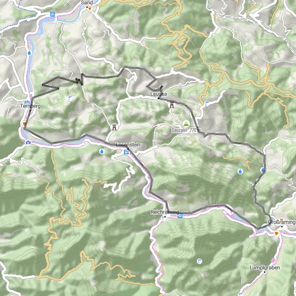
Explore the stunning landscapes near Ternberg with the Jochberg Circuit. This road route spans 48 kilometers, featuring an ascent of 1248 meters. Setting off from Ternberg, cyclists will traverse through a variety of terrains, including challenging climbs and thrilling descents. Highly recommended for experienced cyclists, the Jochberg Circuit offers an adventurous journey full of twists and turns. With a difficulty rating of 4 and an epicness rating of 3, this route promises some thrilling moments on the saddle. Highlights along the route include Jochberg, a famous climb loved by many cycling enthusiasts, and the world's largest pocket knife in Größter Taschenfeitel der Welt. Eager adventurers will also encounter natural wonders like Unterlaussa and Kronstein that will leave them in awe.
Hochhub Round-Trip
A scenic road cycling route with a challenging ascent
The Hochhub Round-Trip is a picturesque road cycling route starting near Ternberg, Oberösterreich, Austria. With a total distance of 54 kilometers and an ascent of 950 meters, it provides a challenging ride for well-trained amateur cyclists. Along the route, cyclists can enjoy stunning views of the surrounding countryside and experience the beauty of the Austrian landscape. In terms of difficulty, this route can be rated as a 4 out of 5, suitable for those with good fitness levels and cycling skills.
Cycling routes nearby:


Nearby regions: