Embark on a memorable cycling journey through the Alpine wonderland of Burgfried.
Cycling routes from Burgfried
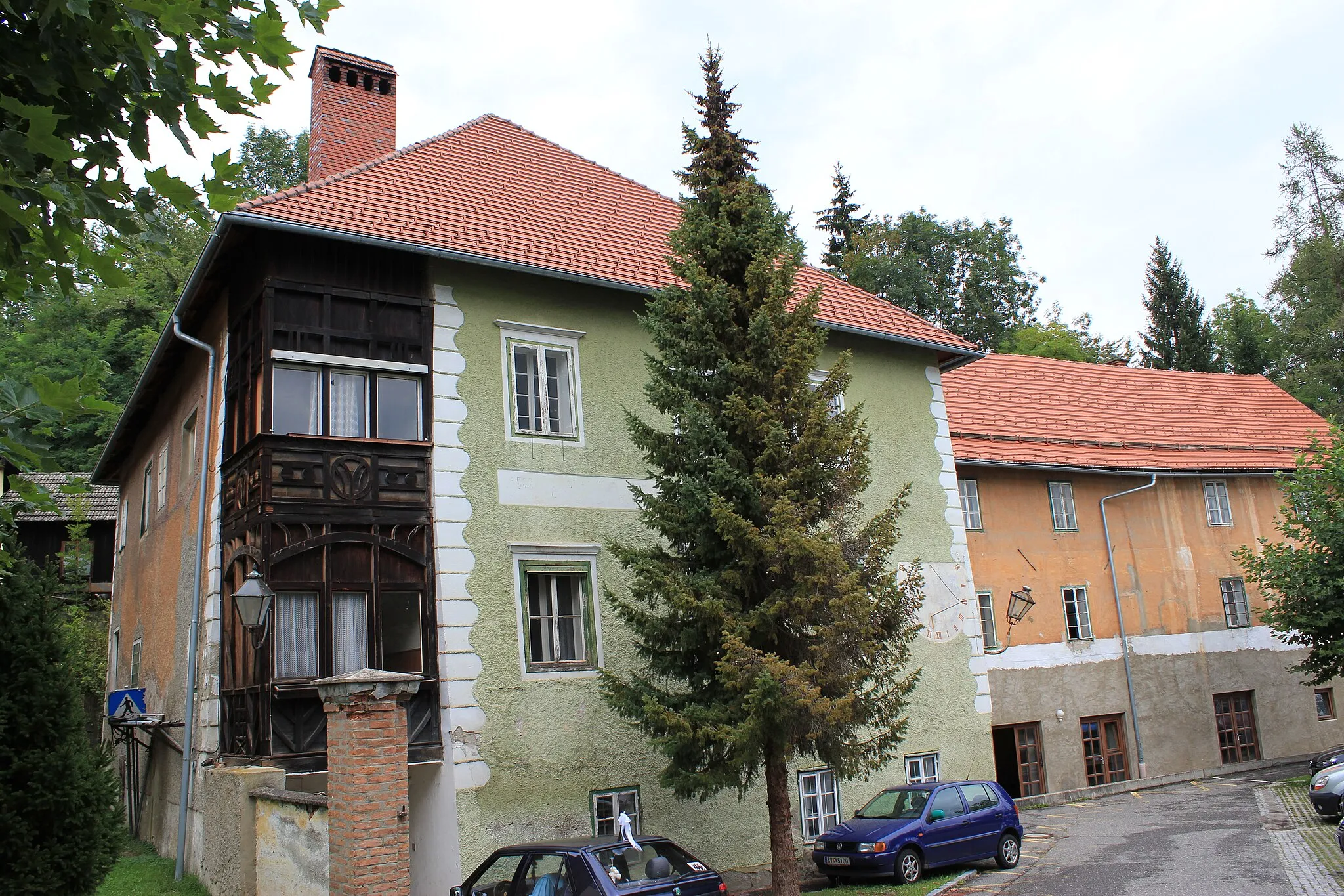
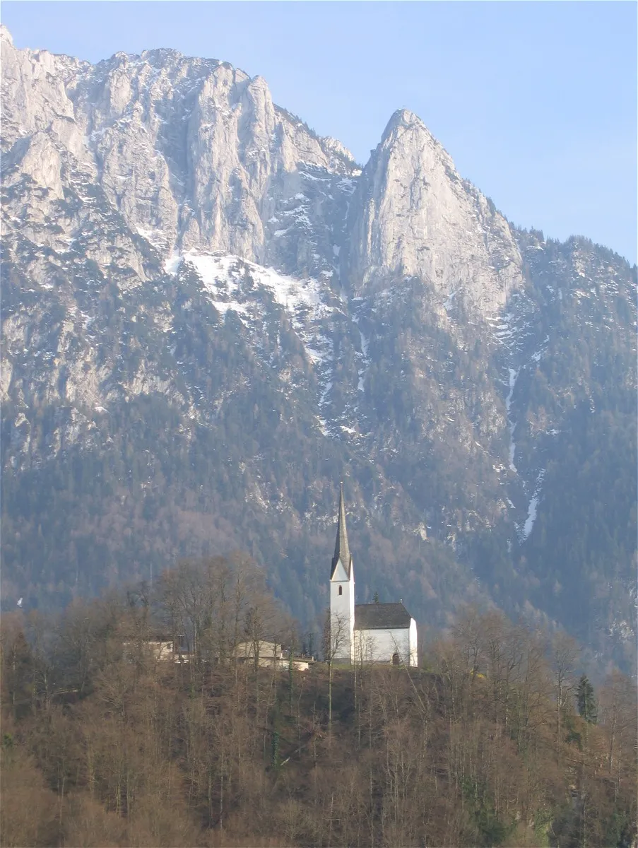
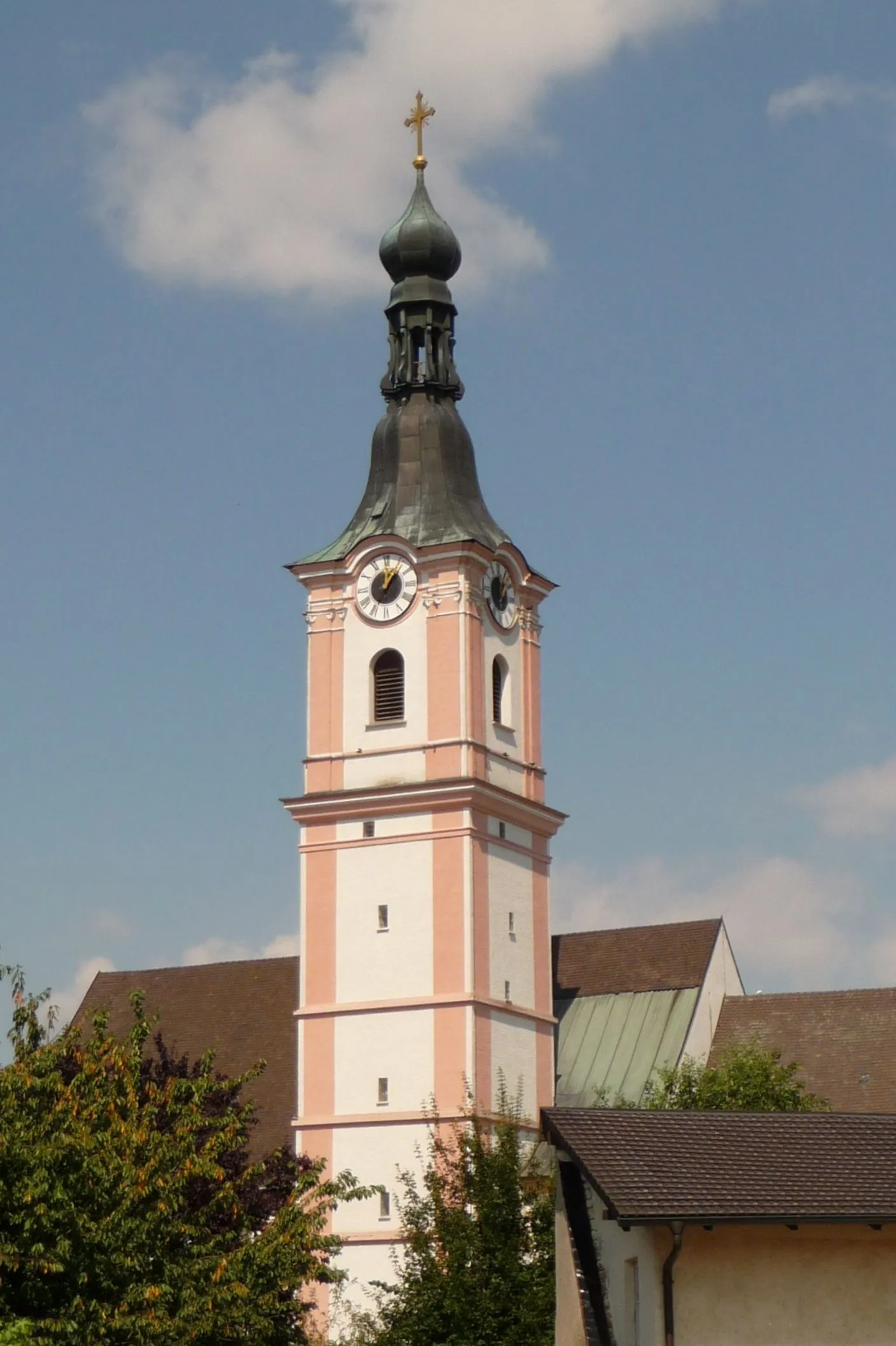
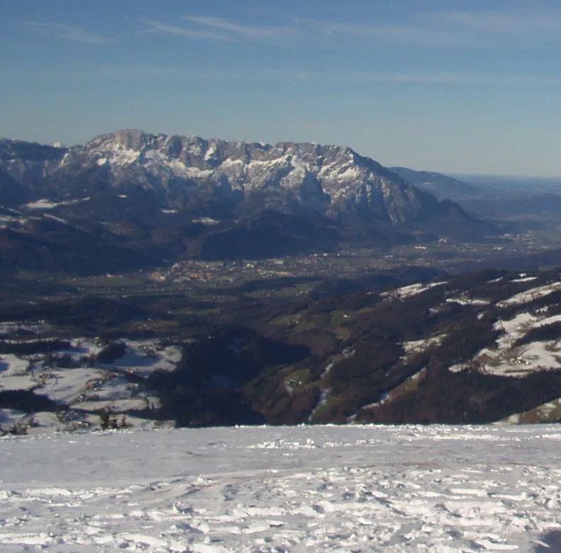
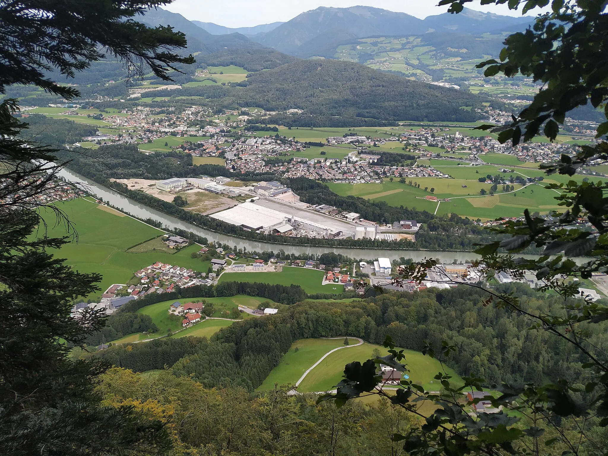
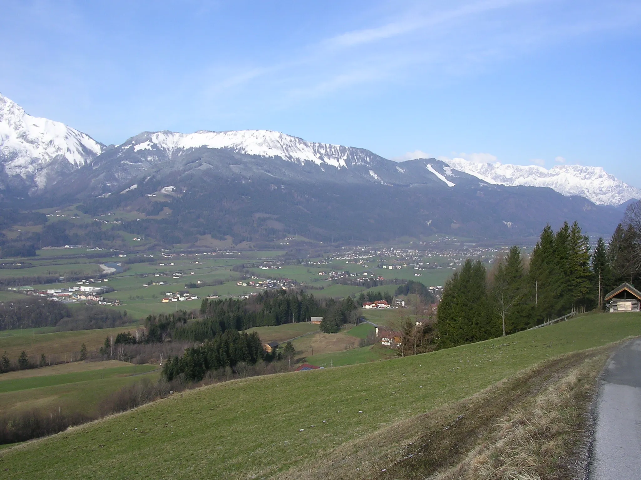
Burgfried, nestled in Austria's stunning Salzburg region, invites cyclists to relish in the majestic beauty of the Alps. Offering both road and gravel cycling options, Burgfried caters to a wide range of cycling preferences. Road cyclists can take on scenic mountain passes and challenging climbs, rewarded with spectacular alpine vistas. Gravel cyclists can weave through the mountain trails, exploring the pristine wilderness and enjoying secluded routes. Burgfried's close proximity to the popular Grossglockner High Alpine Road adds to its appeal as a beloved cycling destination.
Explore the Salzburg Highlands
Majestic hills and historic landmarks
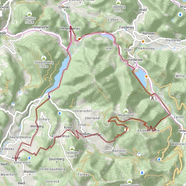
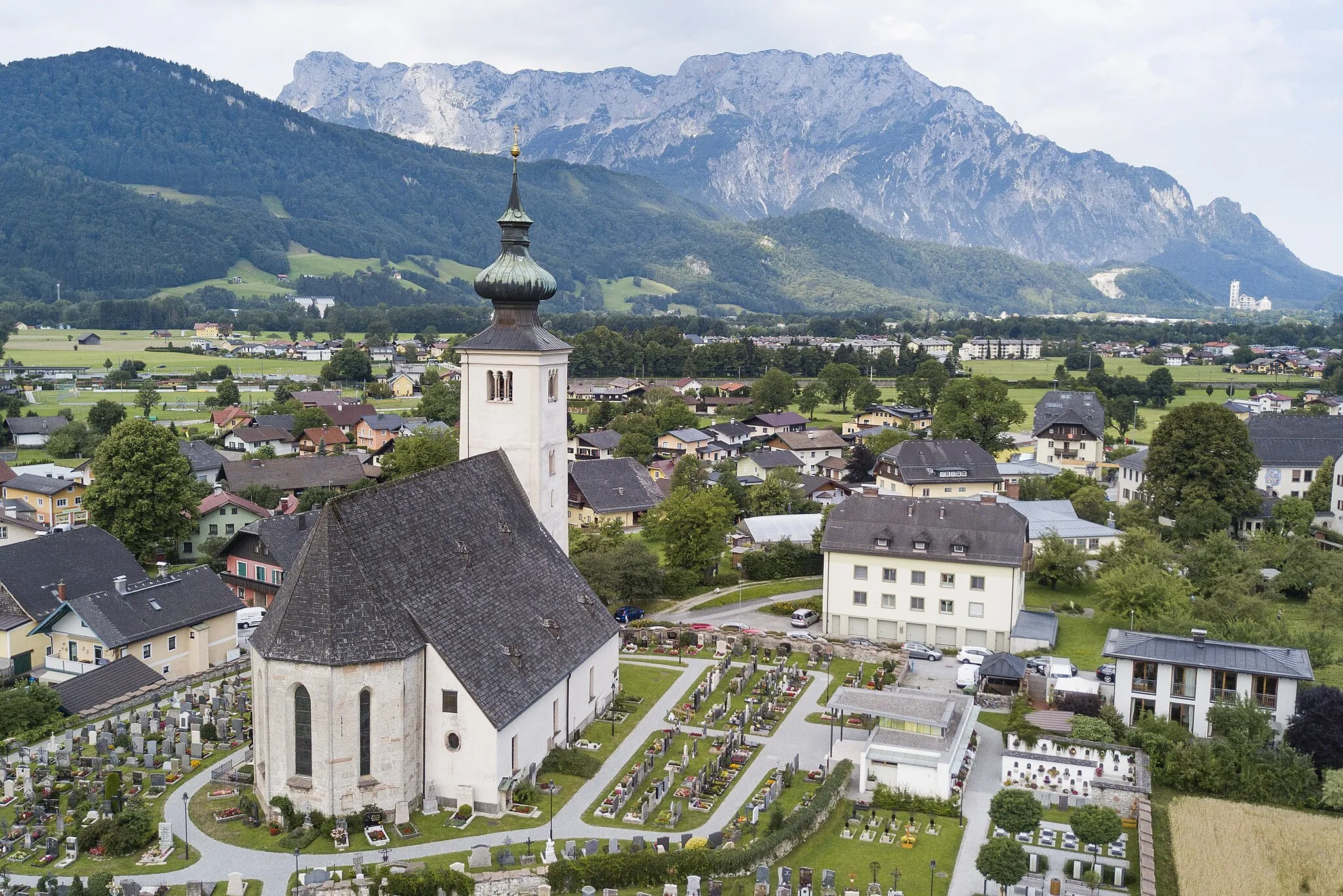
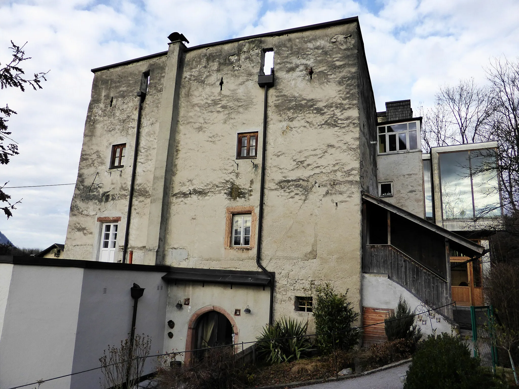
If you are seeking a cycling adventure in the Salzburg region, look no further than the Explore the Salzburg Highlands route. This 46-kilometer round-trip gravel cycling route offers a total ascent of 1634 meters, providing a challenging yet rewarding experience for cyclists. Highlights along the way include Adnet, Strumberg, Seeberg, Jagdschloss Langreith, Wieserhörndl, and Krispl. Cyclists traversing this route will be treated to majestic hills, stunning vistas, and historic landmarks. Adnet, for example, features historical buildings dating back centuries, while Seeberg offers panoramic views over the surrounding countryside. The Explore the Salzburg Highlands route showcases the natural and cultural beauty of the region, making it an exciting adventure for avid cyclists.
Embark on a thrilling road cycling adventure to Lungötz.
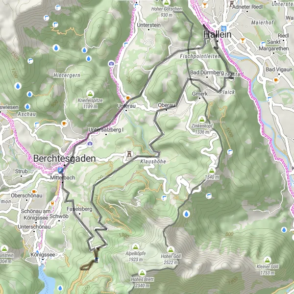
This road cycling route starting near Burgfried takes you through stunning alpine landscapes, charming towns, and thrilling mountain roads. With a distance of 93 km and an elevation gain of 1899 m, it is suitable for experienced amateurs seeking an exhilarating challenge. Explore picturesque villages, visit historic sites, and enjoy breathtaking mountain views.
Discover the hidden gems of Salzburg on this scenic gravel route.
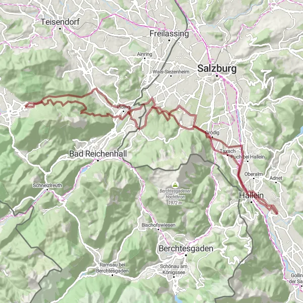
This gravel route near Burgfried offers a unique adventure through the picturesque landscapes of Salzburg. With a distance of 89 km and an elevation gain of 3370 m, it is suitable for well-trained amateurs seeking a challenging ride. The route takes you through historic towns, scenic mountain trails, and peaceful alpine pastures.
Serene gravel roads and mountain lakes
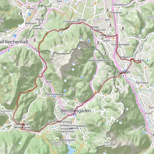
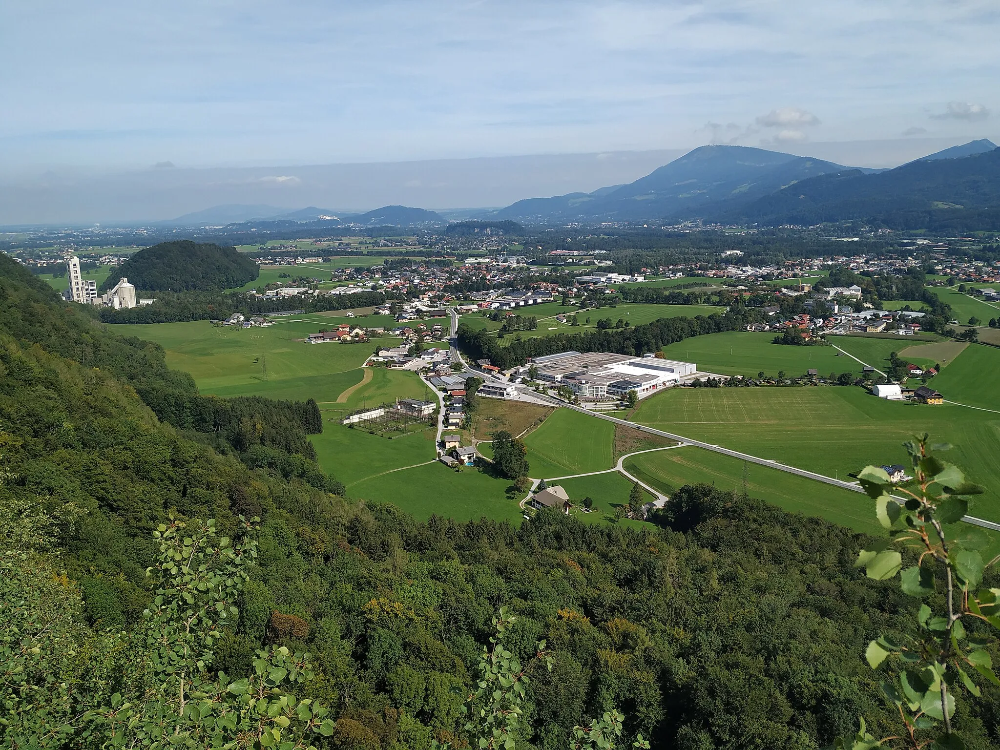
The Gravel Adventure to Ramsau is a 66-kilometer round-trip cycling route starting near Burgfried in Salzburg, Austria. This route is perfect for off-road enthusiasts seeking an adventurous ride through scenic landscapes. With an ascent of 1556 meters, cyclists will experience challenging terrains and breathtaking views. Highlights of this route include Adnet, Lockstein, Ramsau bei Berchtesgaden, Pfaffenbichel, Pfaffenkogel, Fürstenbrunn, Oberalm, and Moorblick. Adnet, for instance, boasts historical charm, while Pfaffenkogel offers glimpses of pristine mountain lakes. Throughout the journey, cyclists will be rewarded with tranquil gravel roads and majestic alpine scenery.
Off-Roading Adventure
Thrilling gravel tracks and historic sites
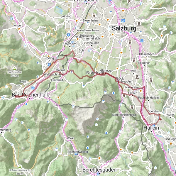
Embark on an off-roading adventure with this gravel cycling route starting near Burgfried. Spanning 87 kilometers with an ascent of 1360 meters, this route offers thrilling gravel tracks and opportunities to visit historical sites. Highlights along the way include Grödig, Piding, Adlgaß, Hochstaufen, Schloss Marzoll, Kleingmainberg, Goisberg, Schloss Rif, and Gamp. Grödig is a charming village famous for its proximity to Untersberg mountain, while Hochstaufen treats cyclists to panoramic views and a challenging climb. Throughout the journey, cyclists can admire historic landmarks and soak in the rich cultural heritage of the region. Whether you're a seasoned gravel cyclist or an adventurous beginner, this Off-Roading Adventure route will surely leave you captivated by its thrilling paths and inviting historic sites.
Experience the best of Salzburg and its surrounding areas on this distinctive cycling route.
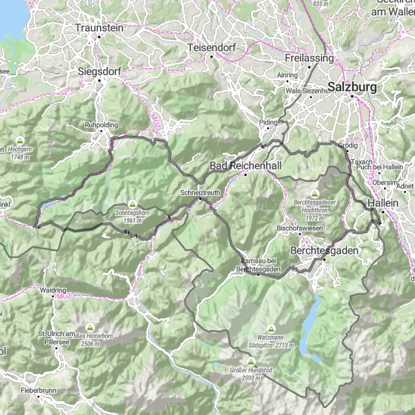
The Salzburg Explorer is a challenging cycling route that takes you through picturesque landscapes, historic towns, and stunning mountain views. Starting near Burgfried in Salzburg, Austria, this round-trip route covers a total distance of 127 kilometers with an ascent of 2814 meters. It offers a great mix of road and gravel sections, catering to both road bike and gravel bike enthusiasts.
Gravel Ride to Bad Reichenhall
Embark on a gravel adventure to the charming town of Bad Reichenhall.
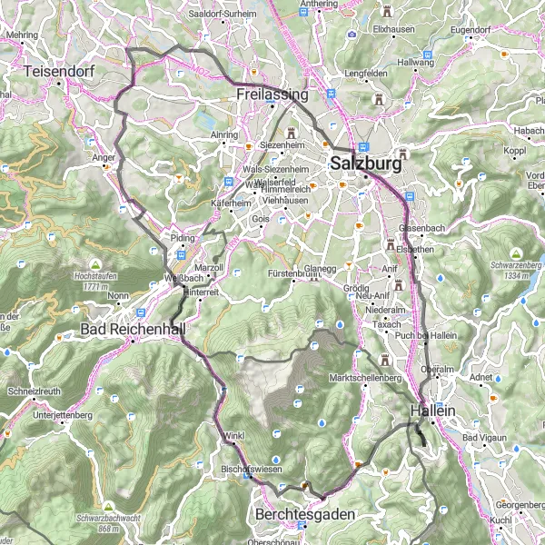
This gravel route starting near Burgfried takes you through scenic mountain trails and stunning alpine landscapes. With a distance of 61 km and an elevation gain of 536 m, it offers a moderate challenge for cyclists of all levels. Explore historic sites, enjoy the tranquility of nature, and indulge in the therapeutic atmosphere of a spa town.
Salzenegg Circuit
Castle ruins and mountain views
The Salzenegg Circuit is a picturesque round-trip cycling route starting near Burgfried in Salzburg, Austria. With a total distance of 40 kilometers and an ascent of 1443 meters, it offers a challenging but rewarding experience for cyclists. The route takes you through beautiful countryside, passing by highlights such as Burgruine Sulzenegg, a castle ruin that provides a glimpse into the region's rich history. Cyclists will also enjoy breathtaking views from Lockstein, Brettgabel, Obersalzberg, Hocheck, and Gamp.
Experience the beauty of Großgmain on this picturesque road cycling route.
This road cycling route near Burgfried takes you through the charming village of Großgmain. With a distance of 80 km and an elevation gain of 1176 m, it offers a moderate challenge for well-trained amateurs. Cycle through rolling hills, visit historic sites, and enjoy the stunning alpine scenery.
Alpine Challenge
Mountainous terrain and scenic vistas
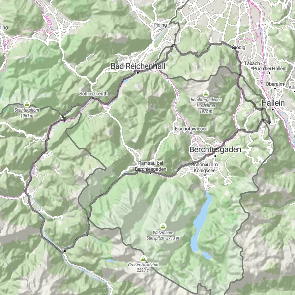
Embark on an Alpine Challenge with this road cycling route starting near Burgfried. With a total distance of 102 kilometers and an ascent of 2304 meters, this challenging route is perfect for experienced cyclists who crave mountainous terrain and stunning vistas. Highlights of the Alpine Challenge include Lockstein, Berchtesgaden, Hirschbichlstraße, Hirschbichl, Lofer, Kniepass, Schneizlreuth, Reichenhall Nonn, Fürstenbrunn, Großgmainberg, Hornkopf, and Marktschellenberg. From the lofty heights of Lockstein to the picturesque Hirschbichlstraße, this route promises panoramic views and thrilling descents. Replete with historical landmarks and breathtaking alpine backdrops, the Alpine Challenge is a must for adventurous cyclists seeking new heights.
Cycling routes nearby:


Nearby regions: