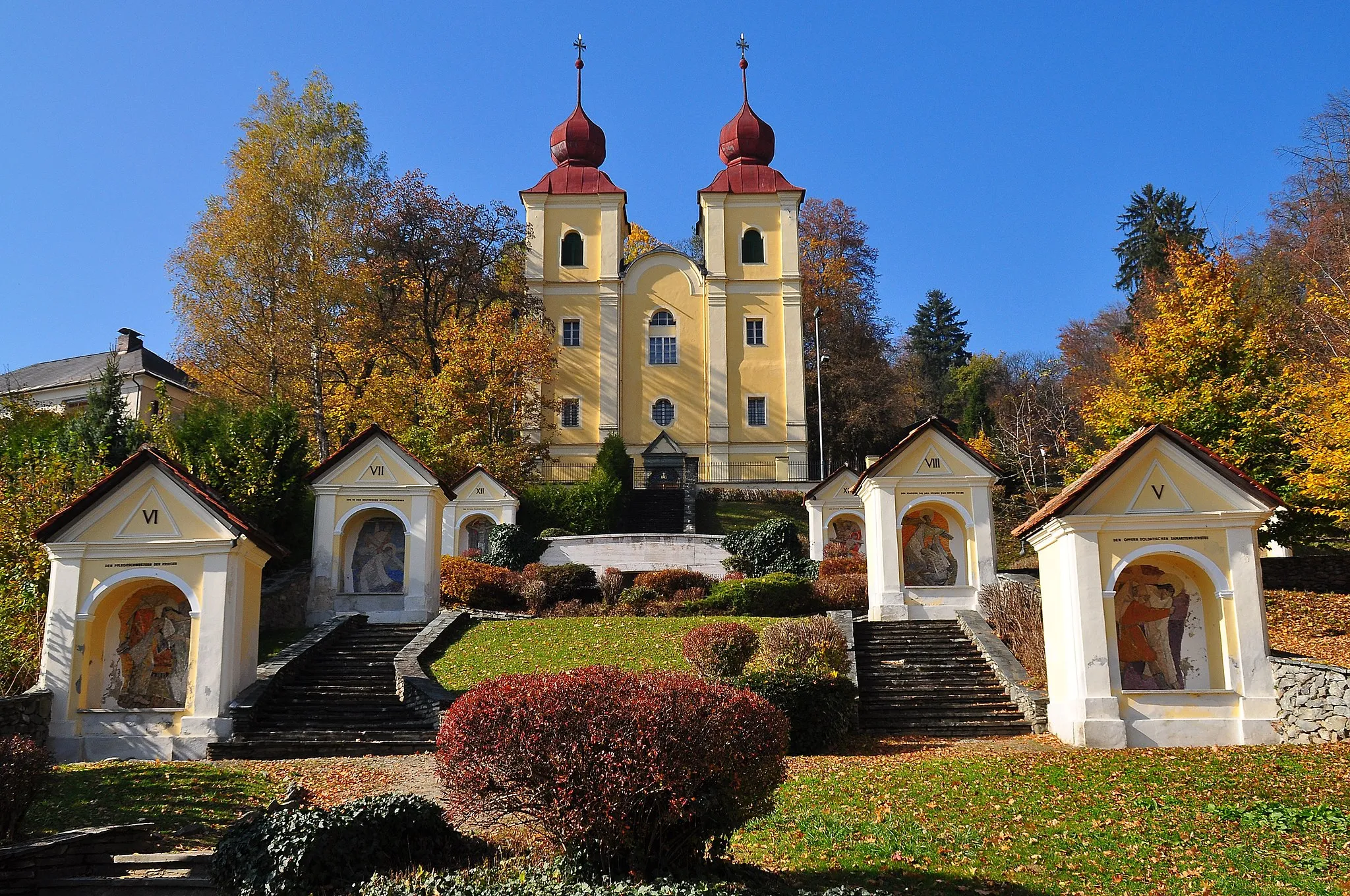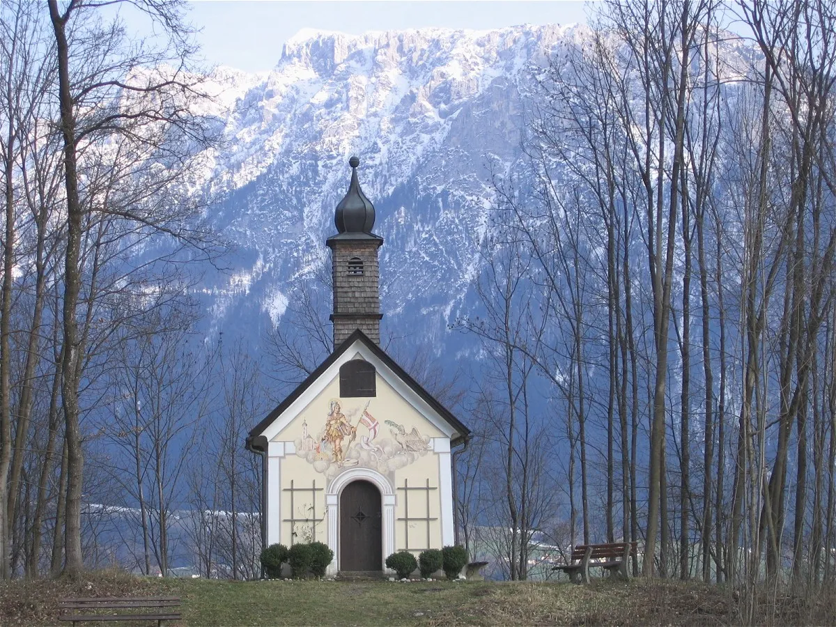
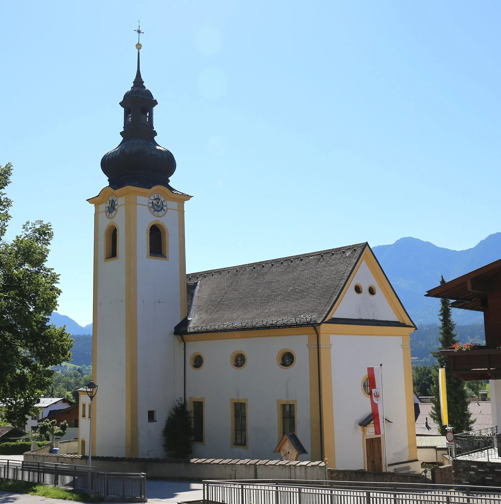
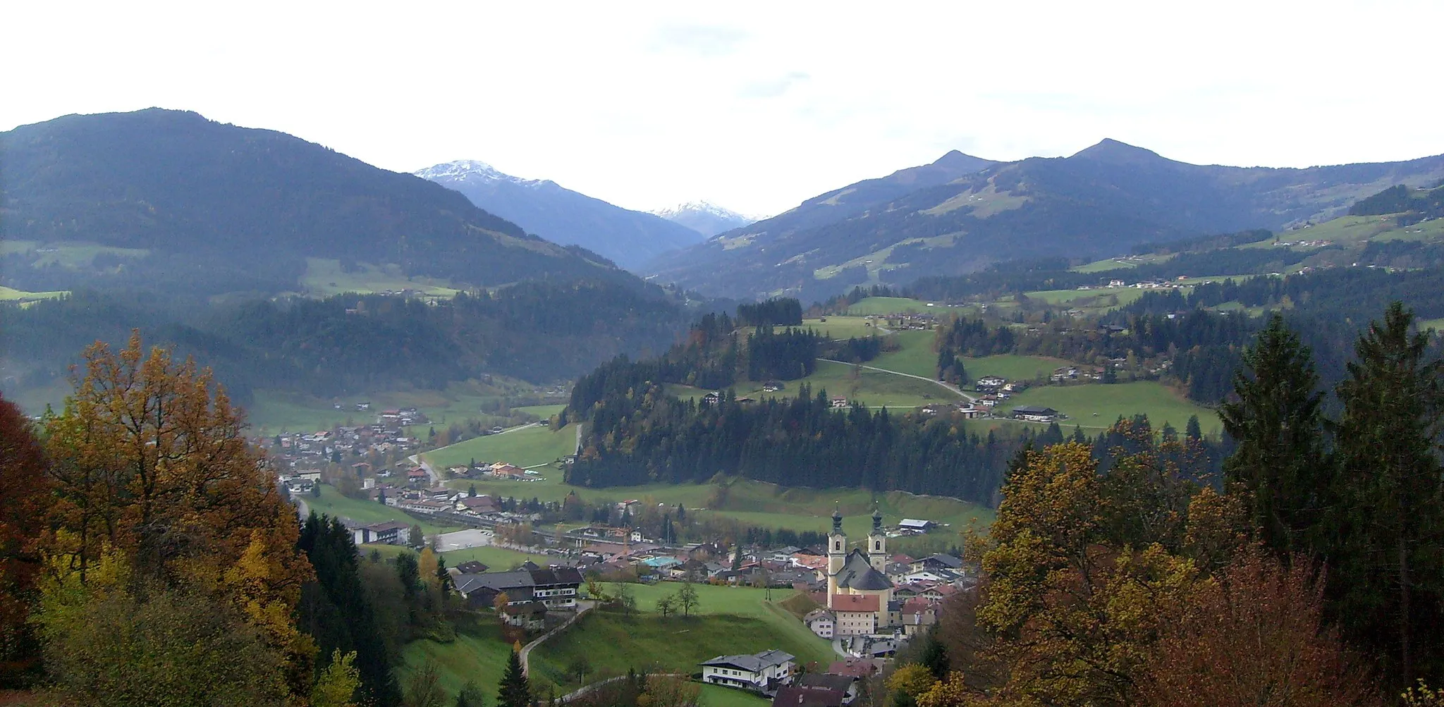
Experience invigorating rides and soothing thermal spas in picturesque Bad Häring.
Cycling routes from Bad Haering
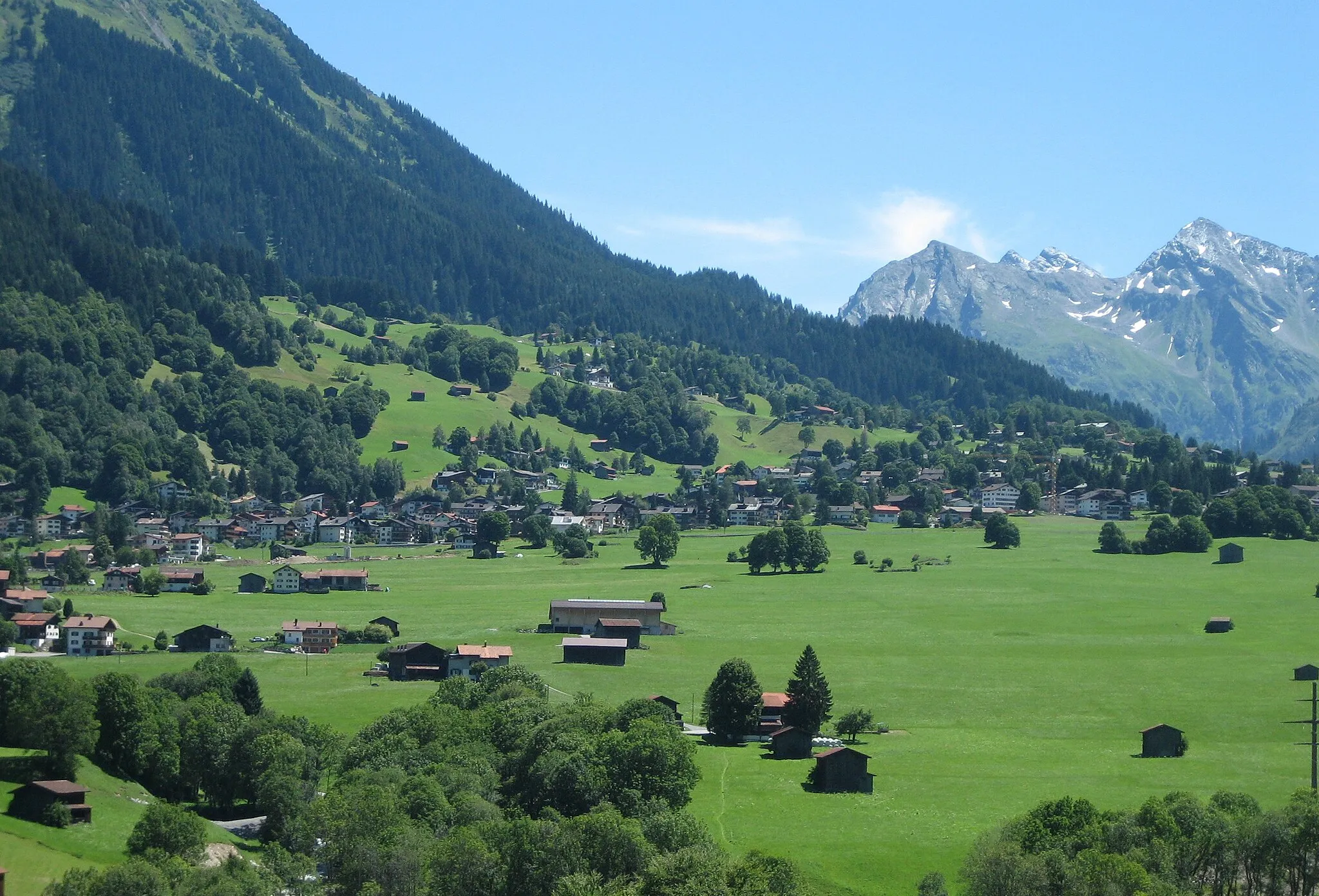
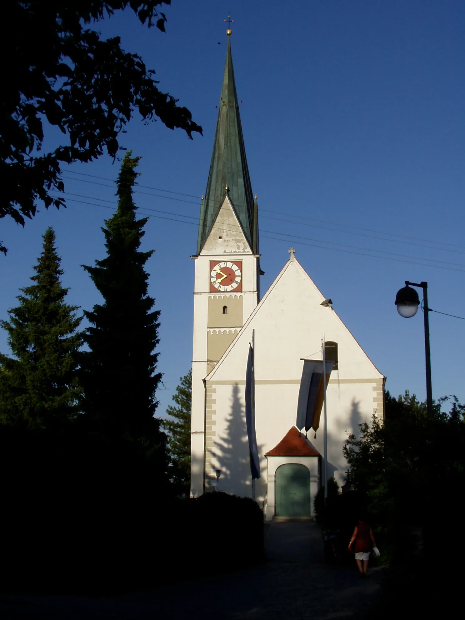
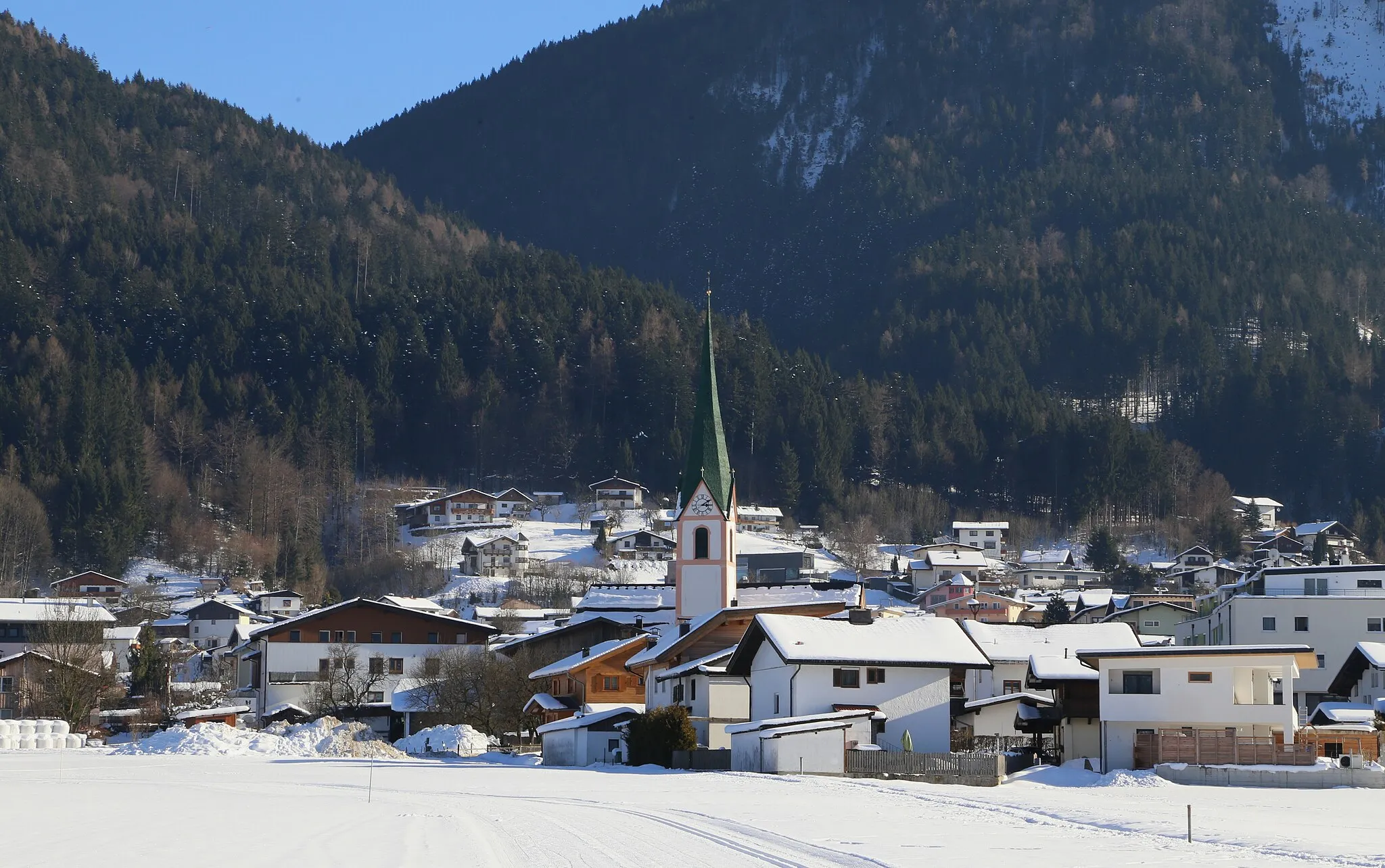
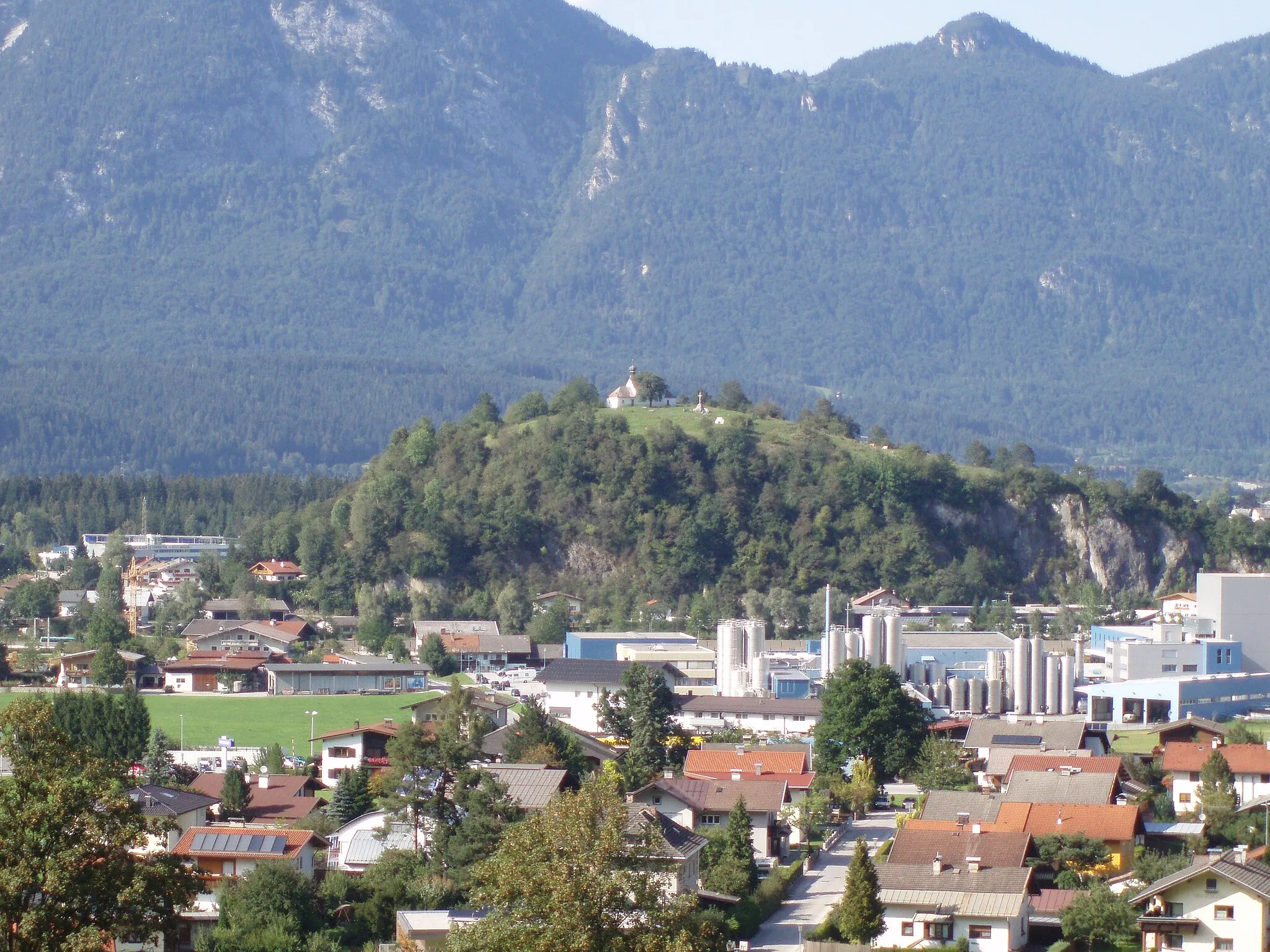
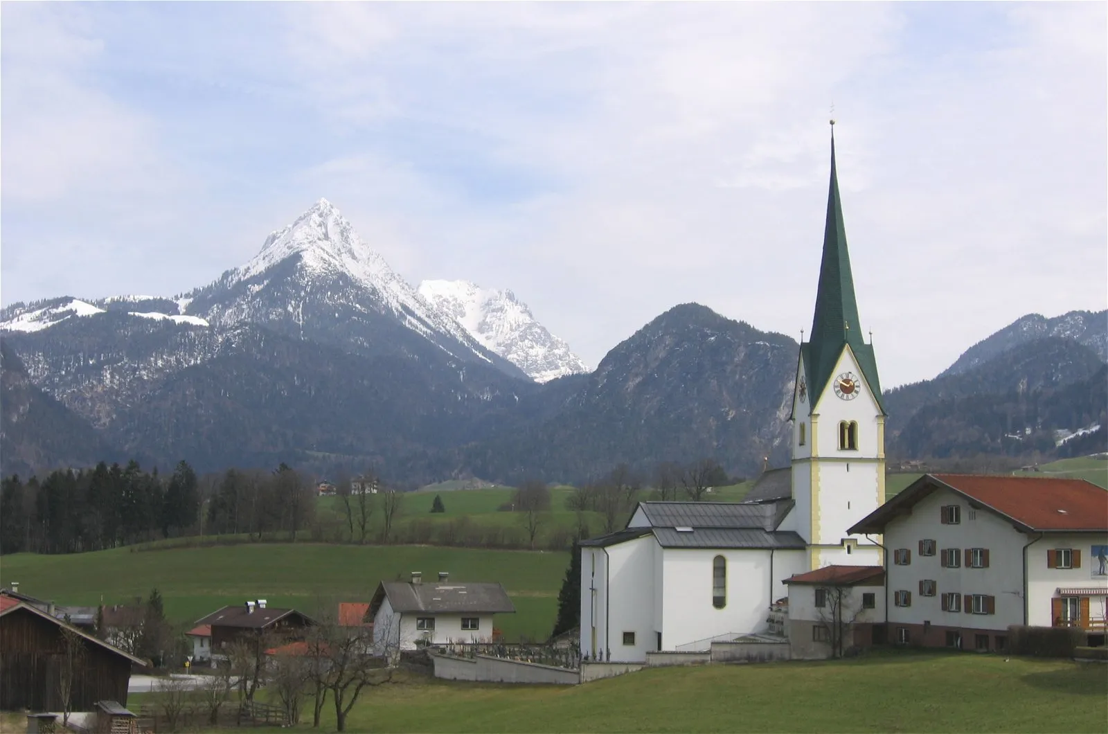
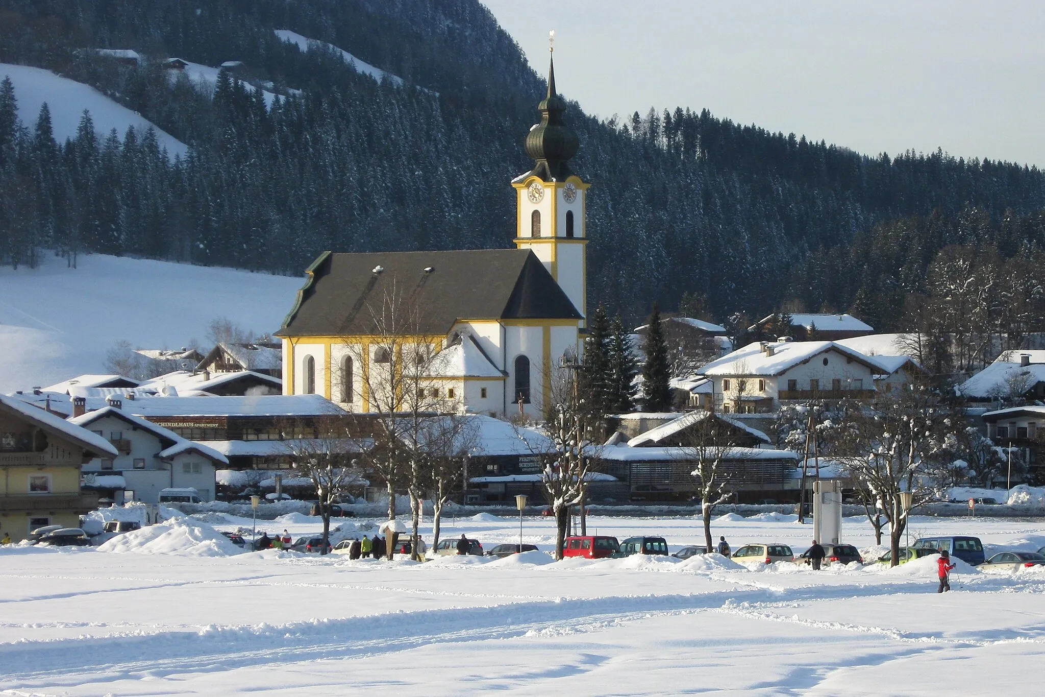
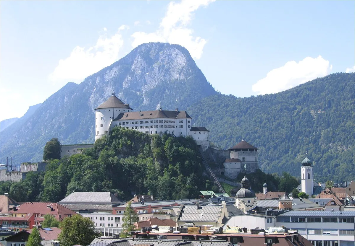
Bad Häring, situated in Tirol, Austria, is a charming locality that caters to road and gravel cyclists alike. The area features a variety of cycling routes suitable for all levels, from gentle scenic rides to challenging mountain climbs. Bad Häring is renowned for its thermal spas, allowing cyclists to rejuvenate and recover after an exhilarating ride. One notable cycling spot nearby is the Kufstein Fortress, which offers breathtaking views at the top and serves as a great reward for tackling the climb. Bad Häring provides a perfect mix of cycling and relaxation, making it an excellent choice for cyclists seeking a well-rounded vacation.
Explore the idyllic countryside surrounding Bad Häring on this peaceful road cycling route
Take a leisurely ride through the picturesque countryside near Bad Häring on this gentle road cycling route. With a total ascent of 1091 meters and a distance of 79 kilometers, this route is suitable for cyclists of all skill levels. Highlights include Zeller Berg with its stunning views, the charming village of Ebbs, and the natural beauty of Scheffau am Wilden Kaiser. The difficulty level of this route is 2.
Tyrolean Alps Excursion

Venture into the majestic Tyrolean Alps on this road cycling adventure
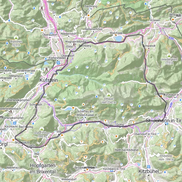
The Tyrolean Alps Excursion is a captivating road cycling route starting near Bad Häring in Tirol, Austria. With a total distance of 75 kilometers and an ascent of 1514 meters, this route offers cyclists a chance to immerse themselves in the enchanting beauty of the Tyrolean Alps. Highlights along the route include Oberndorf in Tirol, Kirchberg in Tirol, and Itter. Cyclists will traverse through alpine meadows, breathtaking mountain passes, and charming Tyrolean villages. The route provides a mix of challenging ascents and exhilarating descents, making it a thrilling experience for cyclists of intermediate to advanced skill levels. Embark on the Tyrolean Alps Excursion and discover the awe-inspiring landscapes of this alpine wonderland.

A scenic gravel route along the Inn River, exploring beautiful villages along the way
Embark on a relaxing gravel route along the Inn River and get to know the beautiful villages near Bad Häring. With a total ascent of 190 meters and a distance of 36 kilometers, this route is perfect for an easy-going ride. Highlights include Breitenbach am Inn with its picturesque architecture, the charming village of Kundl, and Oberndorf with its stunning views of the surrounding mountains. The difficulty level of this route is 1.
The Road to Kufstein

Discover the historic town of Kufstein on this scenic road cycling route
Embark on a road cycling adventure through Bad Häring and surrounding areas to reach the charming town of Kufstein. With a total ascent of 1714 meters and a distance of 124 kilometers, this route offers a moderate challenge suitable for experienced cyclists. Highlights along the way include the Thierberg Castle, Hitzelsberg with its panoramic views, and the picturesque town of Marquartstein. This route is rated with a difficulty level of 3.
Mountain Escape
A challenging road cycling route with stunning mountain views
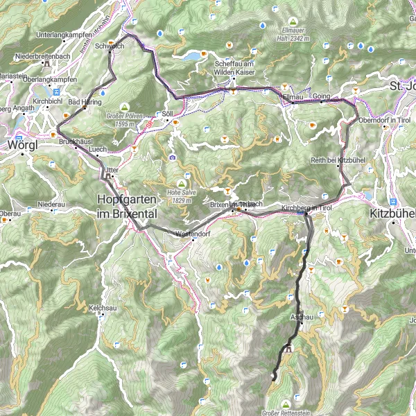
Experience the beauty of the Tyrolean Alps on this challenging road cycling route through Bad Häring and surrounding areas. With a total ascent of 1321 meters and a distance of 86 kilometers, this route is rated with a difficulty level of 3. Highlights along the way include the picturesque village of Haberg, the scenic Rettenberg, and the historic Burgruine Falkenstein. Enjoy breathtaking views of the Brixental valley and the famous Thurn Pass. The difficulty level of this route is 3.
Kaiser Circuit

Cycling through scenic landscapes with stunning views of the Kaiser Mountains
The Kaiser Circuit is a challenging road cycling route starting near Bad Häring in Tirol, Austria. With a total distance of 159 kilometers and an ascent of 2576 meters, this route offers a panoramic experience through some of the most beautiful areas in the region. The route passes highlights such as Scheffau am Wilden Kaiser, Kitzbühel, and Zell am Ziller. Along the way, cyclists will have the opportunity to enjoy picturesque villages, breathtaking mountain scenery, and well-maintained roads. The Kaiser Circuit is suitable for experienced cyclists seeking a thrilling adventure and unforgettable views.

Cycle through the stunning Kaisergebirge mountain range
The Kaisergebirge Loop is a scenic road cycling route starting near Bad Häring in Tirol, Austria. With a total distance of 59 kilometers and an ascent of 771 meters, this route allows cyclists to explore the breathtaking Kaisergebirge mountain range. The route passes highlights such as Schwoich, Haberg, and Schönau, offering a varied and captivating experience. Cyclists will have the chance to admire the beauty of alpine meadows, picturesque valleys, and charming alpine villages. The Kaisergebirge Loop is suitable for cyclists of all levels and provides ample opportunities to take in the stunning mountain vistas.

Embark on an unforgettable gravel cycling journey through stunning mountain passes
The Mountain Passes Expedition is a thrilling gravel cycling route starting near Bad Häring in Tirol, Austria. With a total distance of 85 kilometers and an ascent of 2489 meters, this route takes cyclists on an epic adventure through some of the most scenic mountain passes in the region. Highlights along the route include Angath, Bayrischzell, and Kaiserblick. As cyclists traverse challenging and scenic terrain, they will be rewarded with breathtaking alpine vistas, charming alpine villages, and the thrill of conquering challenging climbs. The Mountain Passes Expedition is specifically designed for experienced gravel riders who seek a truly memorable and epic cycling experience in the heart of the Tyrolean Alps.
Inn Valley Adventure

Embark on an off-road cycling expedition in the scenic Inn Valley
The Inn Valley Adventure is a thrilling gravel cycling route starting near Bad Häring in Tirol, Austria. Covering a total distance of 61 kilometers with an ascent of 1456 meters, this route offers a unique off-road experience through the picturesque Inn Valley. It passes highlights such as Breitenbach am Inn, Radfeld, and Schloß Schönwörth. Cyclists will have the opportunity to explore rugged mountain landscapes, charming villages, and hidden gems along the way. The route includes sections of challenging terrain, providing a thrilling experience for avid gravel riders. With its mix of natural beauty and adrenaline-pumping trails, the Inn Valley Adventure is a must-do for adventurous cyclists looking to push their limits.

An epic off-road journey through Bad Häring and the surrounding mountains
This challenging gravel route will take you on an unforgettable adventure through the scenic landscapes near Bad Häring. With a total ascent of 3314 meters and a distance of 101 kilometers, this route is not for the faint-hearted. You'll have the opportunity to explore highlights such as the Kaiserklamm, Spitzingsee, and the Ursprungpass. The difficulty level of this route is 4, suitable for very well-trained amateur cyclists.
Cycling routes nearby:
Nearby regions: