Lake Views and Mountain Adventures
Cycling routes from Lauterach
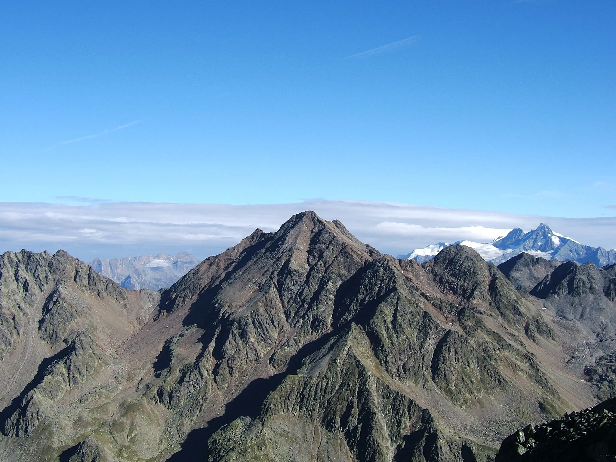
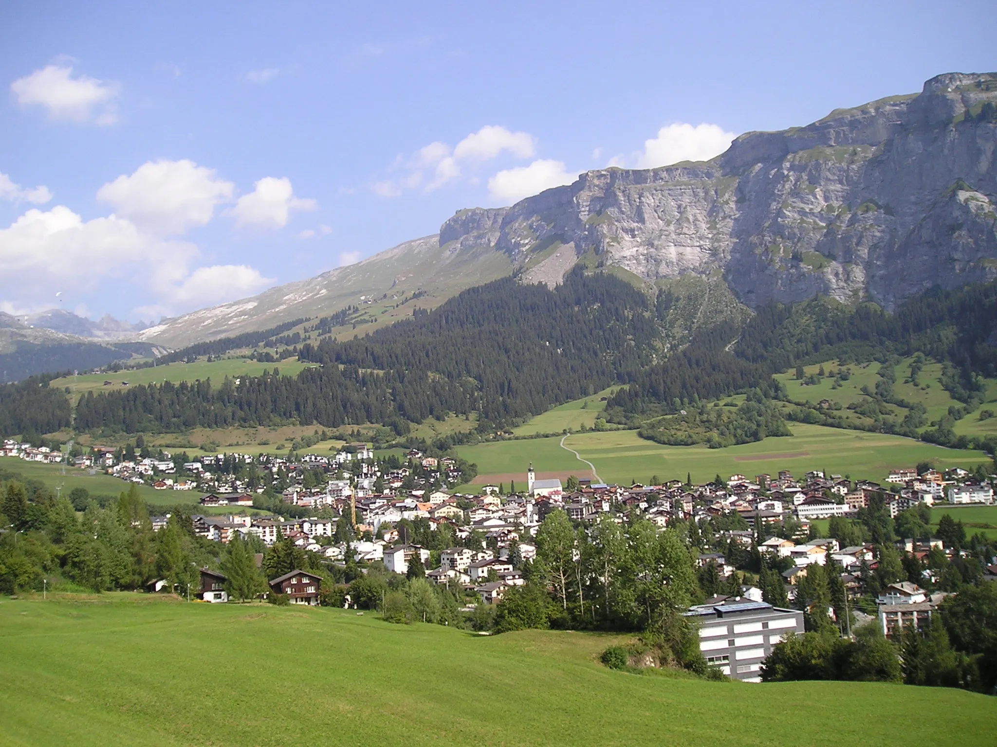
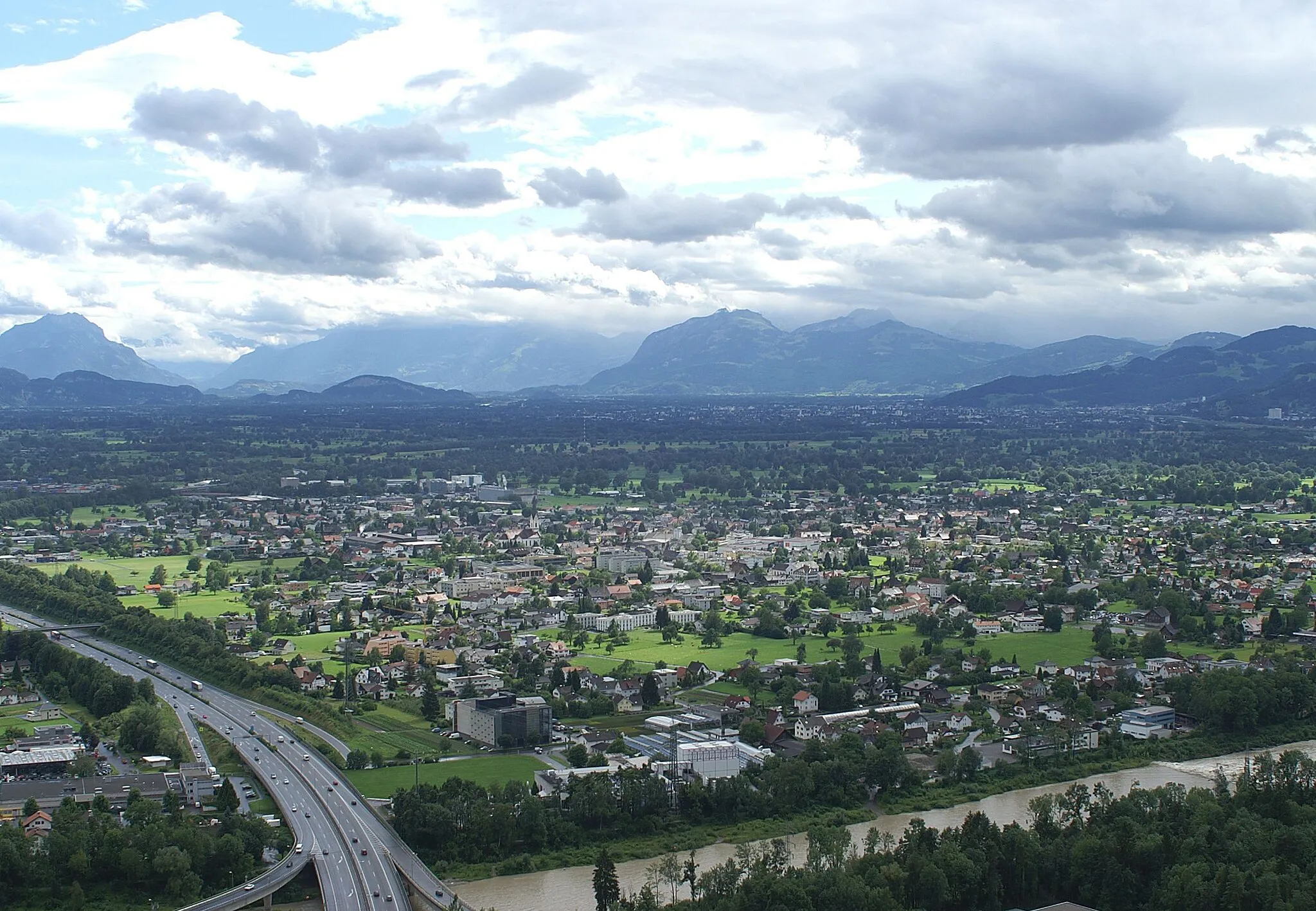
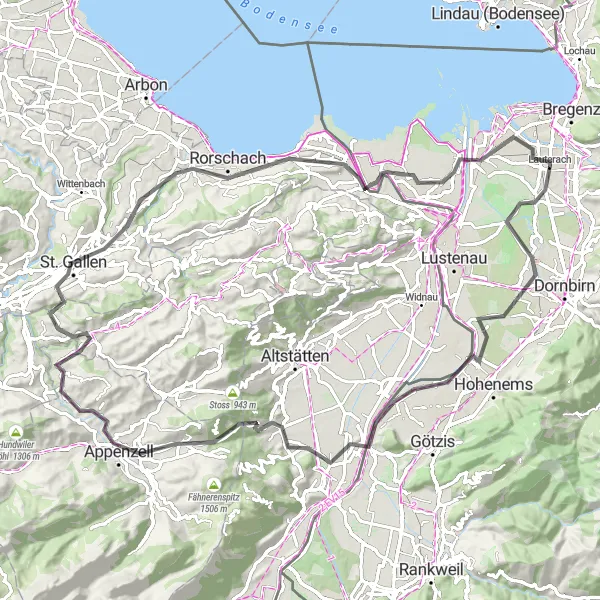
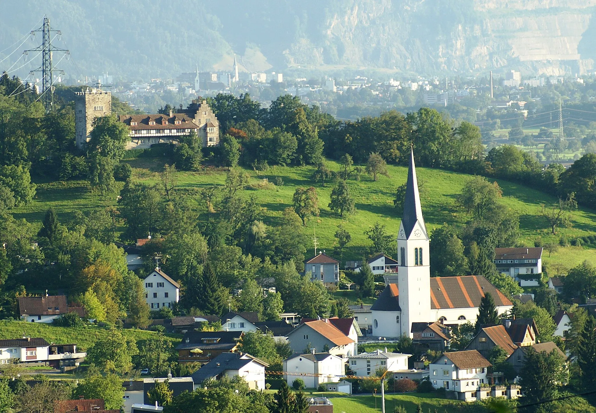
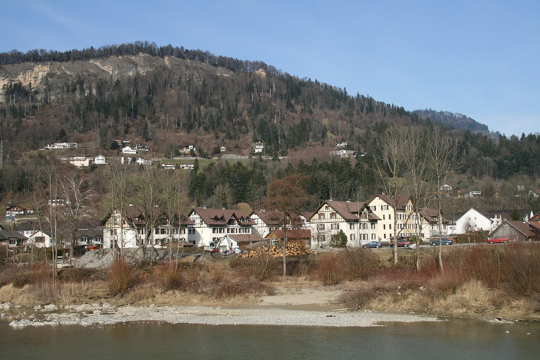
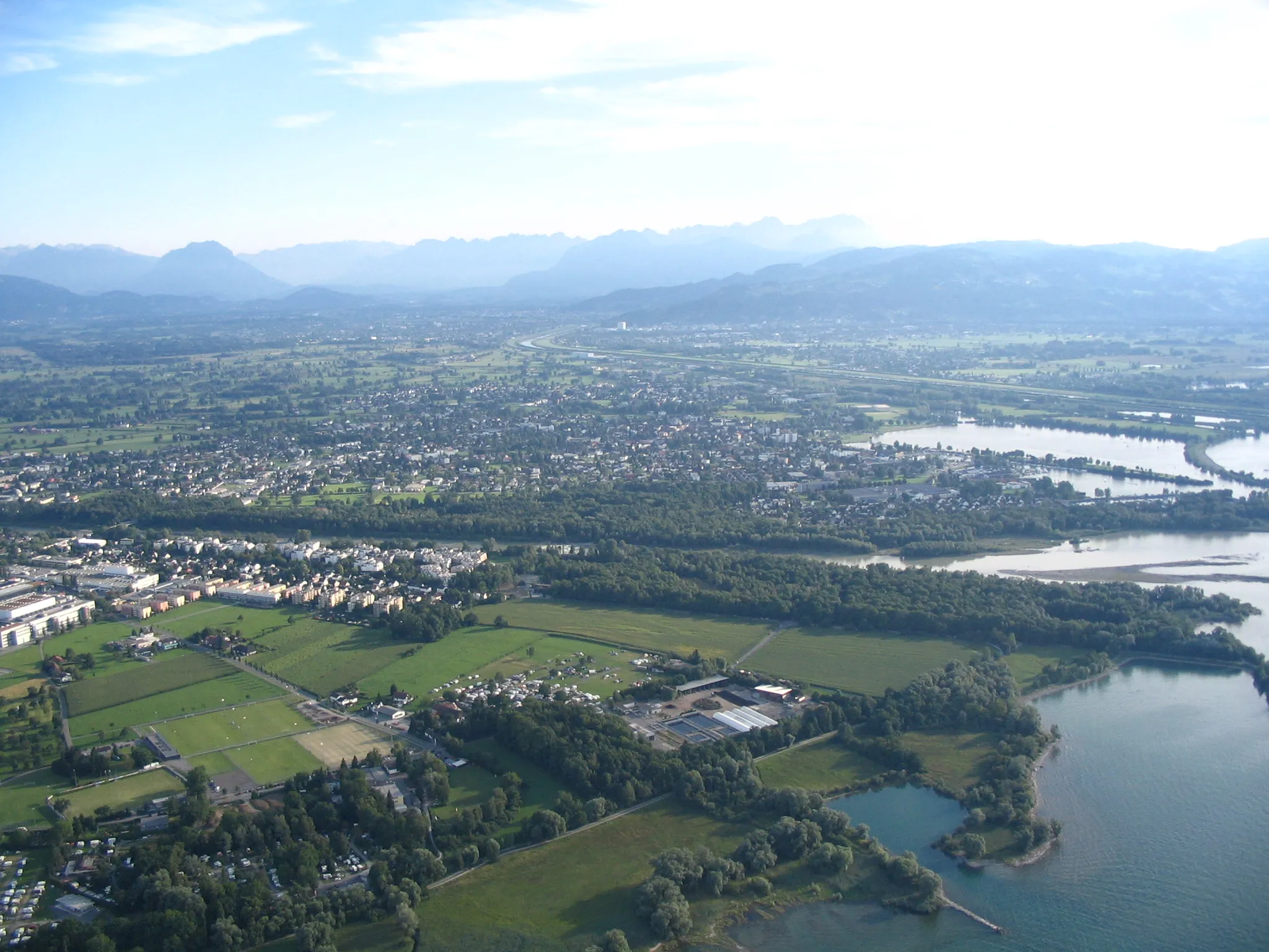
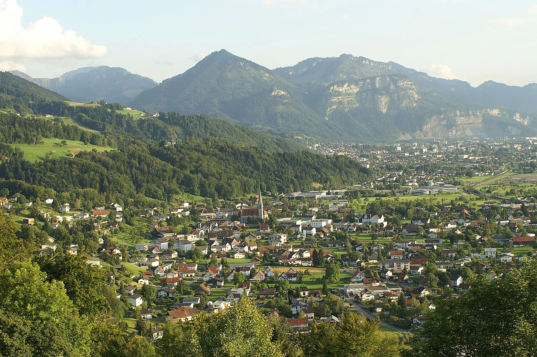
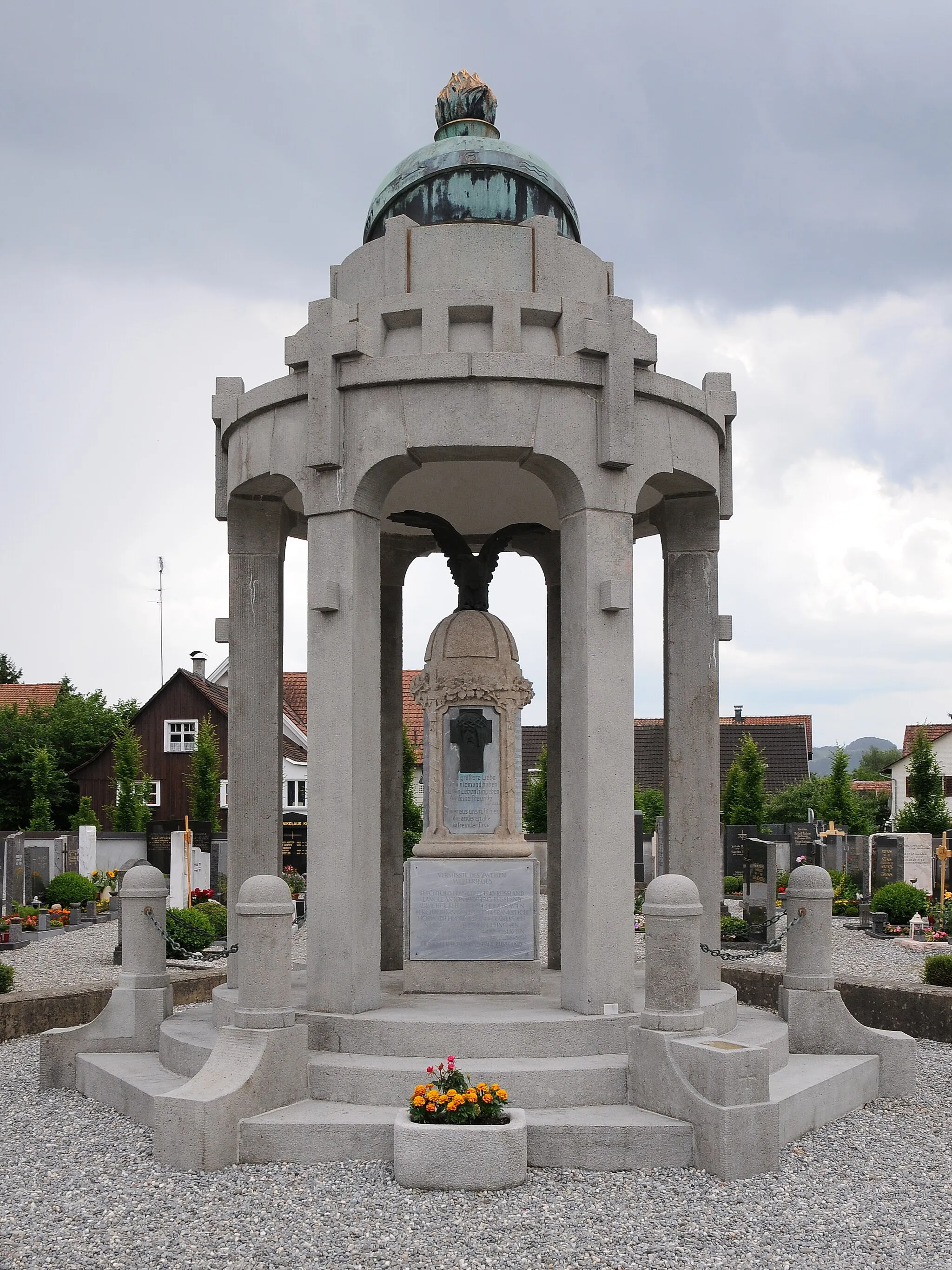
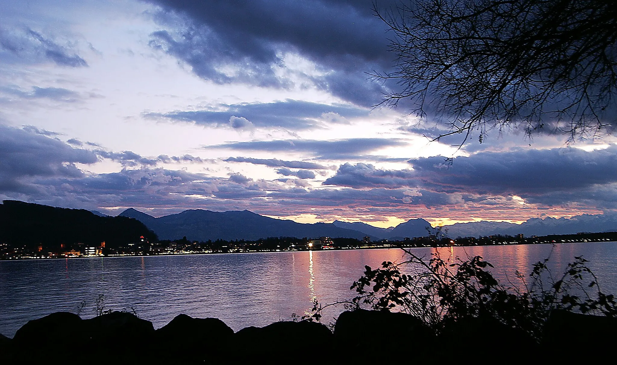
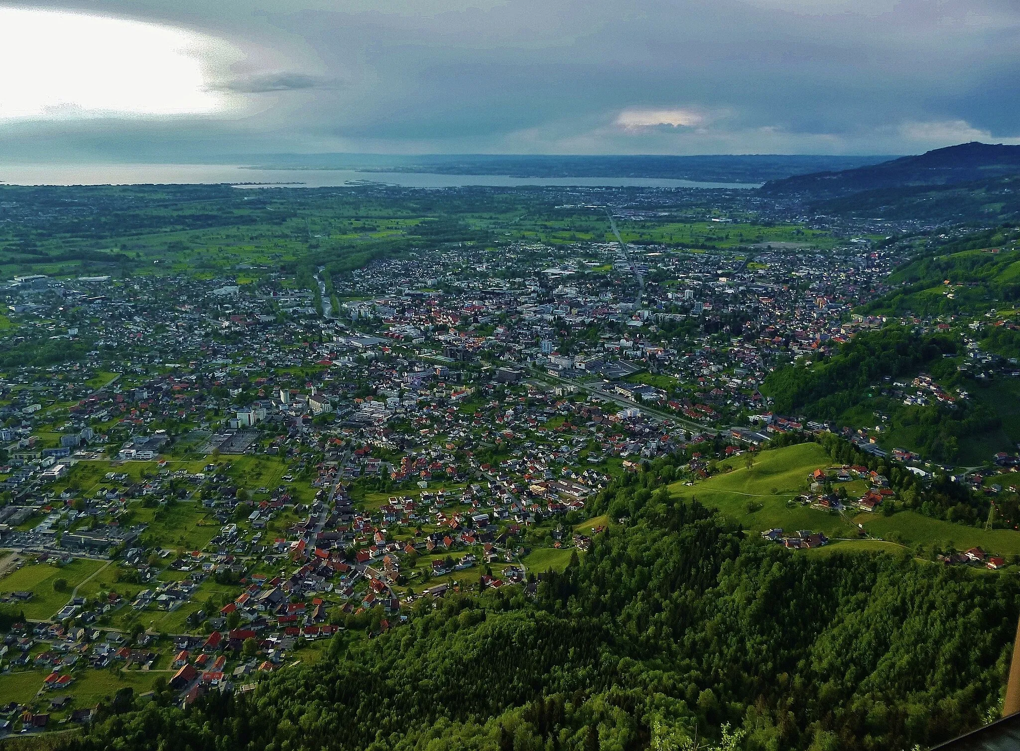
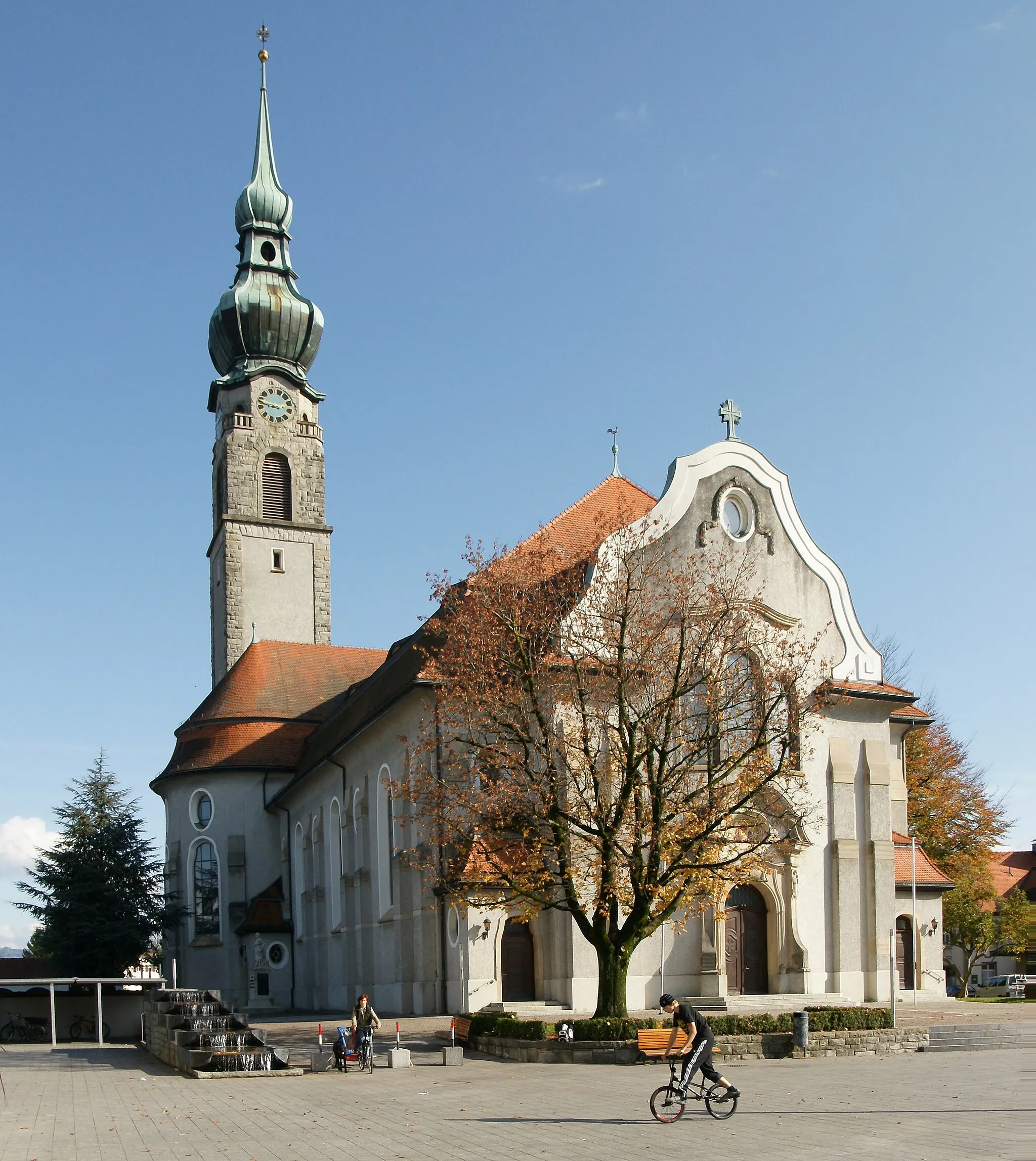
Lauterach, nestled in the Vorarlberg region of Austria, is a cyclist's paradise with its stunning lakeside views and mountainous backdrop. The locality boasts a vast network of well-maintained cycling paths that cater to both road and gravel cyclists. From leisurely rides along Lake Constance to challenging climbs up the nearby Pfänder Mountain, Lauterach offers diverse cycling experiences for all skill levels. With its breathtaking scenery and cyclist-friendly amenities, Lauterach is a top choice for two-wheeled enthusiasts looking to explore the beauty of Vorarlberg.
The Lauterach Loop
Enjoy a journey through beautiful Vorarlberg countryside
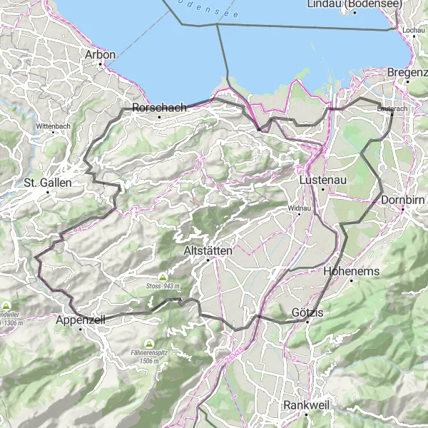
Discover scenic villages, challenging ascents, and stunning views on this 94 km road bike route around Lauterach. With a total ascent of 952 meters, this route is perfect for well-trained amateurs looking for a moderate challenge. Epicness is rated 3 out of 5.
The Vorarlberg Hills Ride
Experience a challenging and rewarding road cycling adventure
Take on steep climbs, experience breathtaking viewpoints, and pass through quaint villages on this 97 km road bike route near Lauterach. With a total ascent of 973 meters, this route is suitable for well-trained amateurs looking for a challenging ride. Epicness is rated 3 out of 5.
An epic road cycling route with scenic views and challenging climbs in Vorarlberg.
This road cycling route is perfect for those seeking challenging climbs and breathtaking views. Starting near Lauterach, the route takes you through Wolfurt, 300-70, Mellau, Schnepfegg, Damüls, Furkajoch, Ganta, Klaus, Hohenems, Schlossberg, and Dornbirn. The total distance is 107 km with an ascent of 2506 m. With steep gradients and stunning mountain scenery, this route will test your endurance and reward you with unforgettable panoramas.
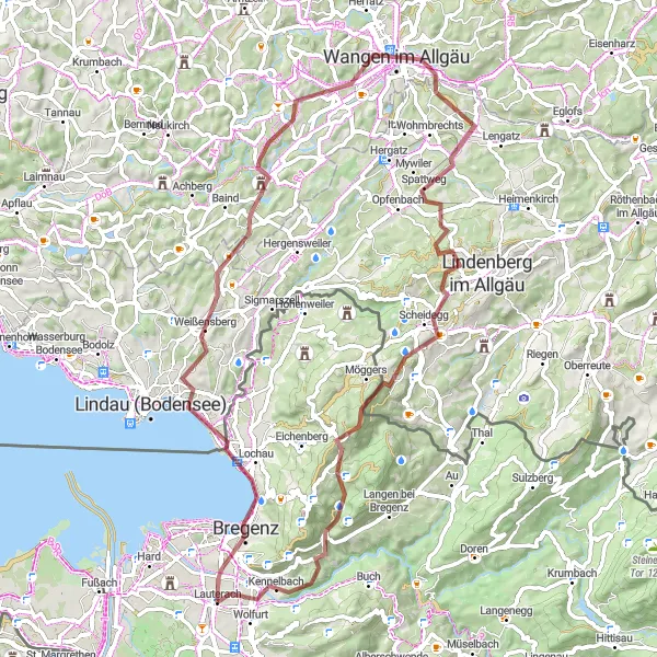
Immerse yourself in picturesque landscapes and rich cultural heritage
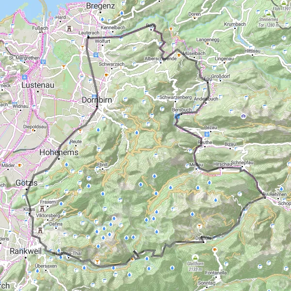
Enjoy stunning mountain vistas, challenging climbs, and beautiful villages on this 59 km road bike loop starting from Lauterach. With a total ascent of 1634 meters, this route is suitable for well-trained amateurs looking for a challenging ride. Epicness is rated 4 out of 5.
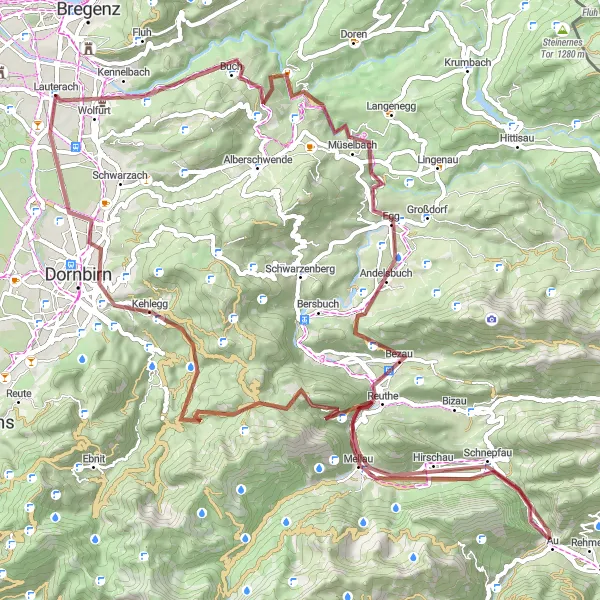
Embark on an epic 84 km gravel adventure with highlights including 300-70, Bezau, Schnepfegg, and Hangköpfle.
This 84 km gravel adventure will take cyclists from the starting point in Wolfurt to the vibrant town of Dornbirn, offering stunning alpine views along the way. With a challenging ascent of 2069 m, this route is aimed at experienced riders seeking to explore the breathtaking landscapes of Vorarlberg. Highlights include 300-70, a scenic mountain pass famous among cycling enthusiasts, Bezau, a picturesque village known for its stunning natural surroundings, as well as Schnepfegg and Schnepfau, two tranquil alpine hamlets offering peacefulness and beautiful vistas. Another highlight is the Klauser Wasserfall, a majestic waterfall nestled in the mountains at 57 km. The route also takes cyclists to Hangköpfle, known for its panoramic views, and finally ends in Dornbirn, a vibrant town with a charming historic center.
Wolfurt to Hard Gravel Route
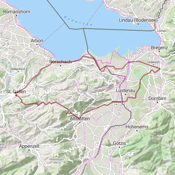
A gravel route with highlights including Rebhüttli, Altstätten, and Ruppenpass.
This 79 km gravel route starts in Wolfurt and takes you through picturesque landscapes with a total ascent of 1043 m. Highlights along the way include Rebhüttli, a charming mountain hut at 15 km, Altstätten, a historic town at 22 km, and Ruppenpass, offering stunning views at 28 km. The route also passes by Waldegg at 37 km, St. Gallen at 43 km, Rorschach at 55 km, and finally ends in the scenic town of Hard at 75 km. Cyclists will enjoy the mix of challenging terrains and beautiful scenery.
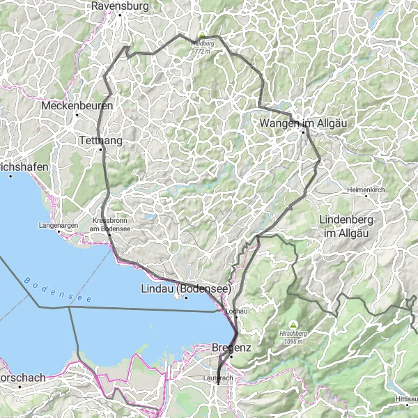
Gebhardsberg Loop
Enjoy an adventurous gravel route with highlights including Gebhardsberg, Wangen im Allgäu, and Tatzen.
This 74 km gravel route showcases the best of Vorarlberg's natural beauty, while providing an exciting challenge for cyclists. Starting at Gebhardsberg, riders will ascend 1243 m over the course of the journey. Highlights along the way include Gebhardsberg itself, boasting panoramic views of Lake Constance at just 2 km, Weißensberg, a charming village at 15 km, and Wangen im Allgäu, a historic town renowned for its medieval city center. Other highlights include Möggers at 56 km, Tatzen with its picturesque mountain lake at 57 km, Kennelbach at 70 km, and the stunning Känzele viewpoint at the same distance. The route finishes back at Gebhardsberg, offering a rewarding end to a challenging ride.
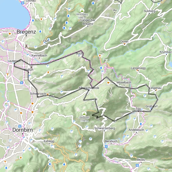
Embark on an exciting road cycling journey through diverse landscapes
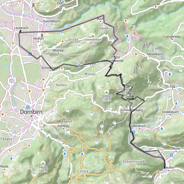
Explore picturesque villages, challenging climbs, and scenic viewpoints on this 49 km road bike loop starting from Lauterach. With a total ascent of 1257 meters, this route is suitable for well-trained amateurs looking for a moderate to challenging ride. Epicness is rated 4 out of 5.

Experience a scenic gravel loop with highlights including Rebhüttli, Marbach, and Widnau.
This 45 km gravel loop starts in Heerbrugg and provides cyclists with an enjoyable ride through diverse landscapes, passing through charming towns and picturesque areas. With a total ascent of 424 m, this route is ideal for riders of all levels. Highlights along the route include Rebhüttli, a cozy mountain hut at 14 km, Marbach, known for its idyllic location on the banks of the Rhine River at 19 km, and Widnau, an old village with beautiful traditional houses at 30 km. The route concludes back in Heerbrugg, where cyclists can reward themselves with a visit to the local brewery or enjoy the local cuisine.
The Vorarlberg Panorama Route
Embark on a scenic journey through picturesque landscapes and charming villages
Discover panoramic views, challenging climbs, and idyllic villages on this 95 km road bike loop near Lauterach. With a total ascent of 951 meters, this route is suitable for well-trained amateurs looking for a moderate challenge. Epicness is rated 3 out of 5.
Cycling routes nearby:

Nearby regions: