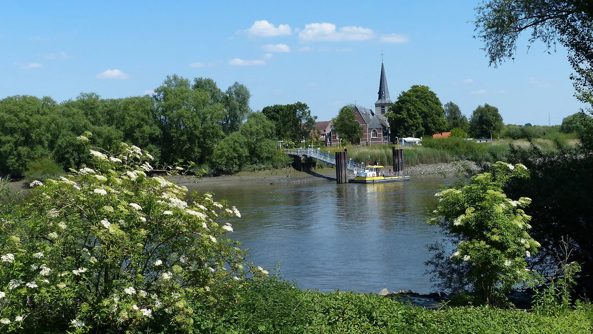
Experience the beauty of Sint-Amands while embracing the challenge of conquering the iconic Muur van Geraardsbergen.
Cycling routes from Sint-Amands
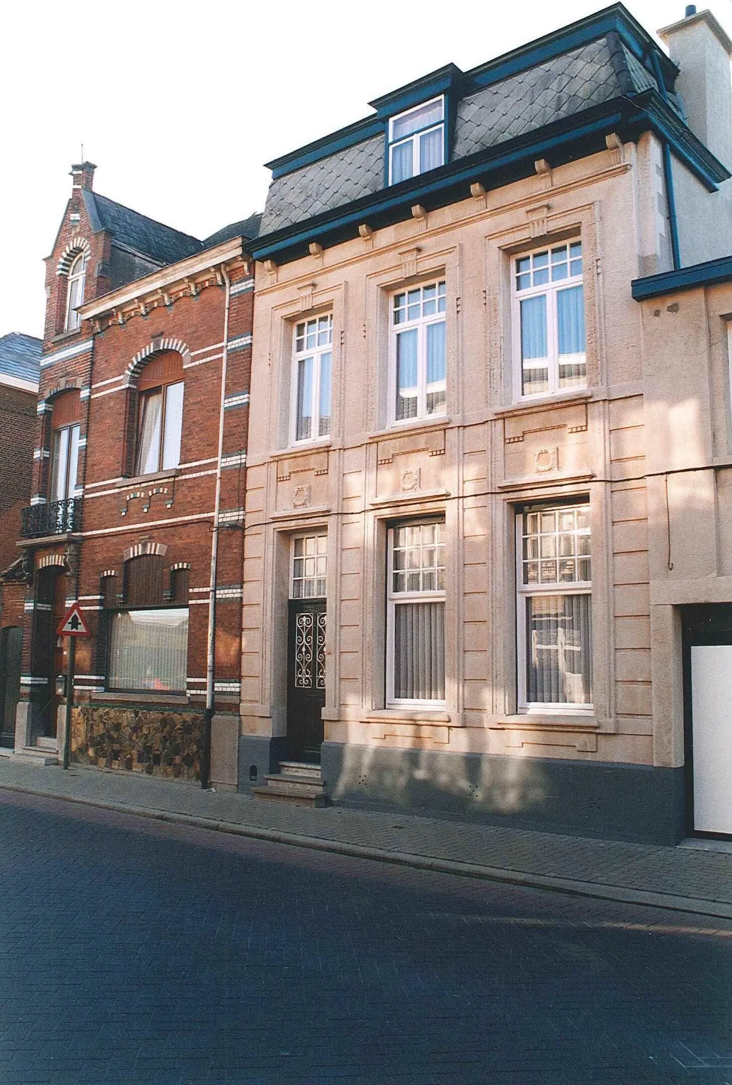
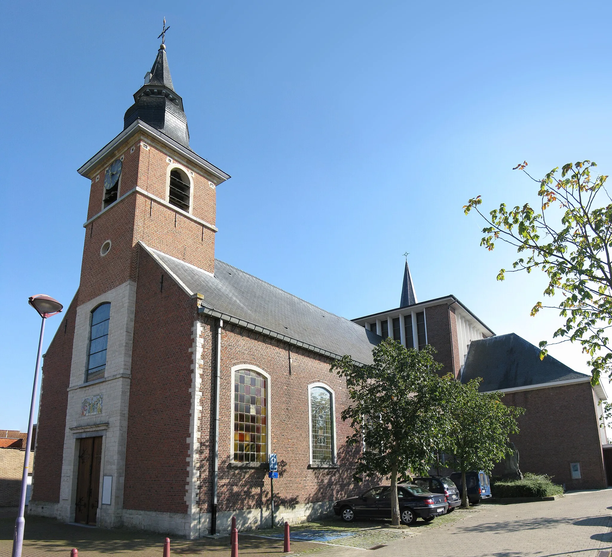
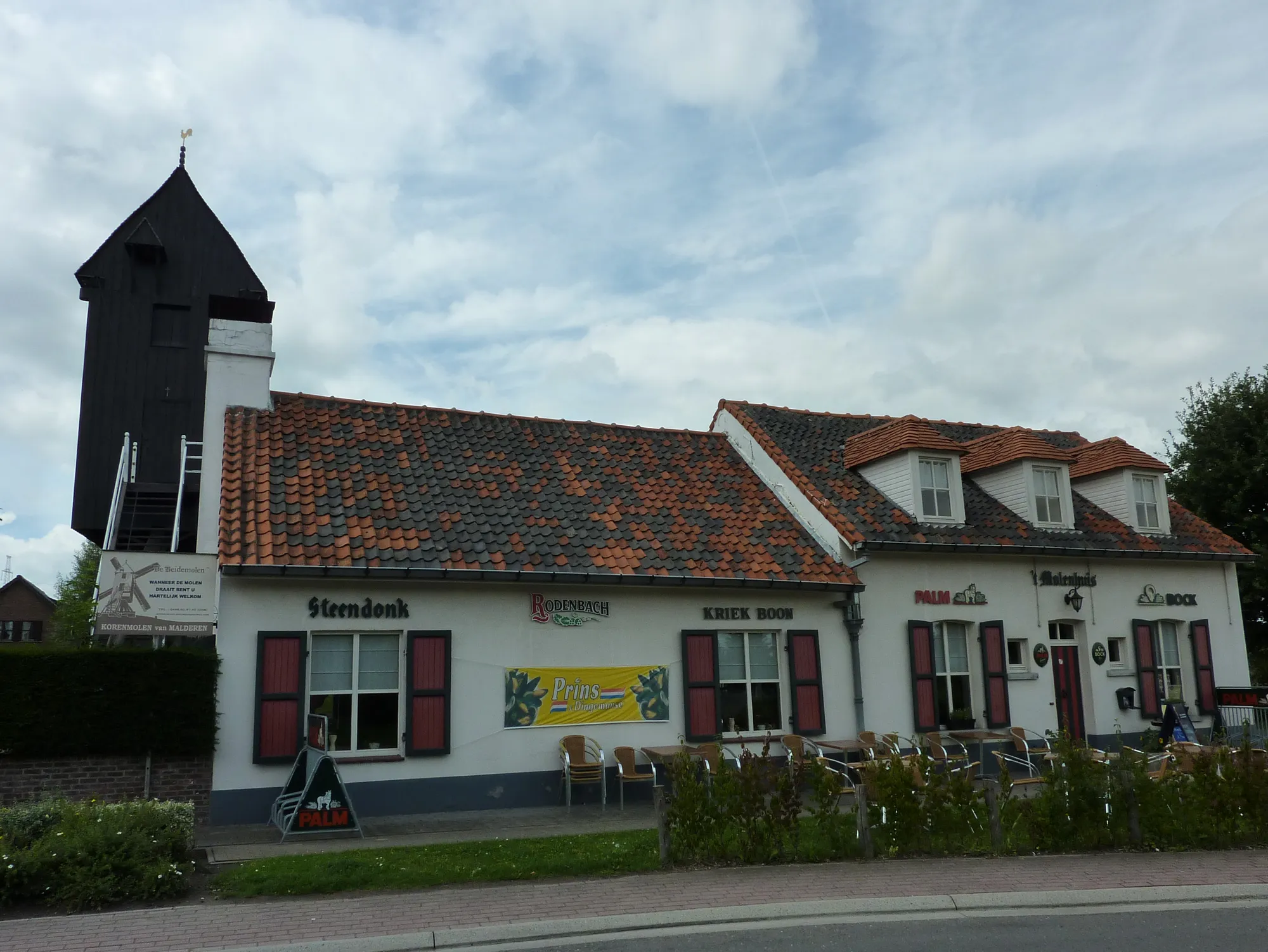
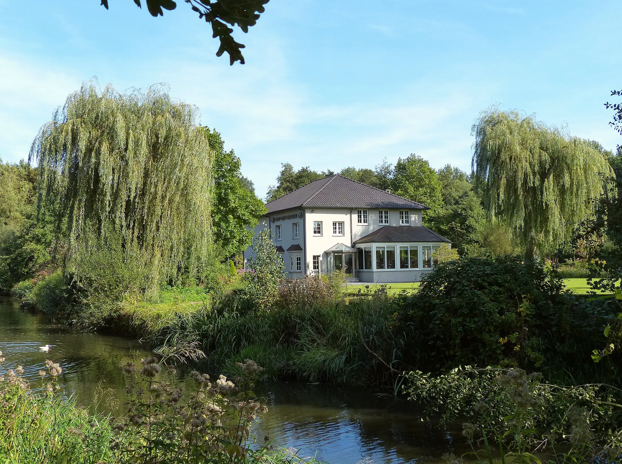
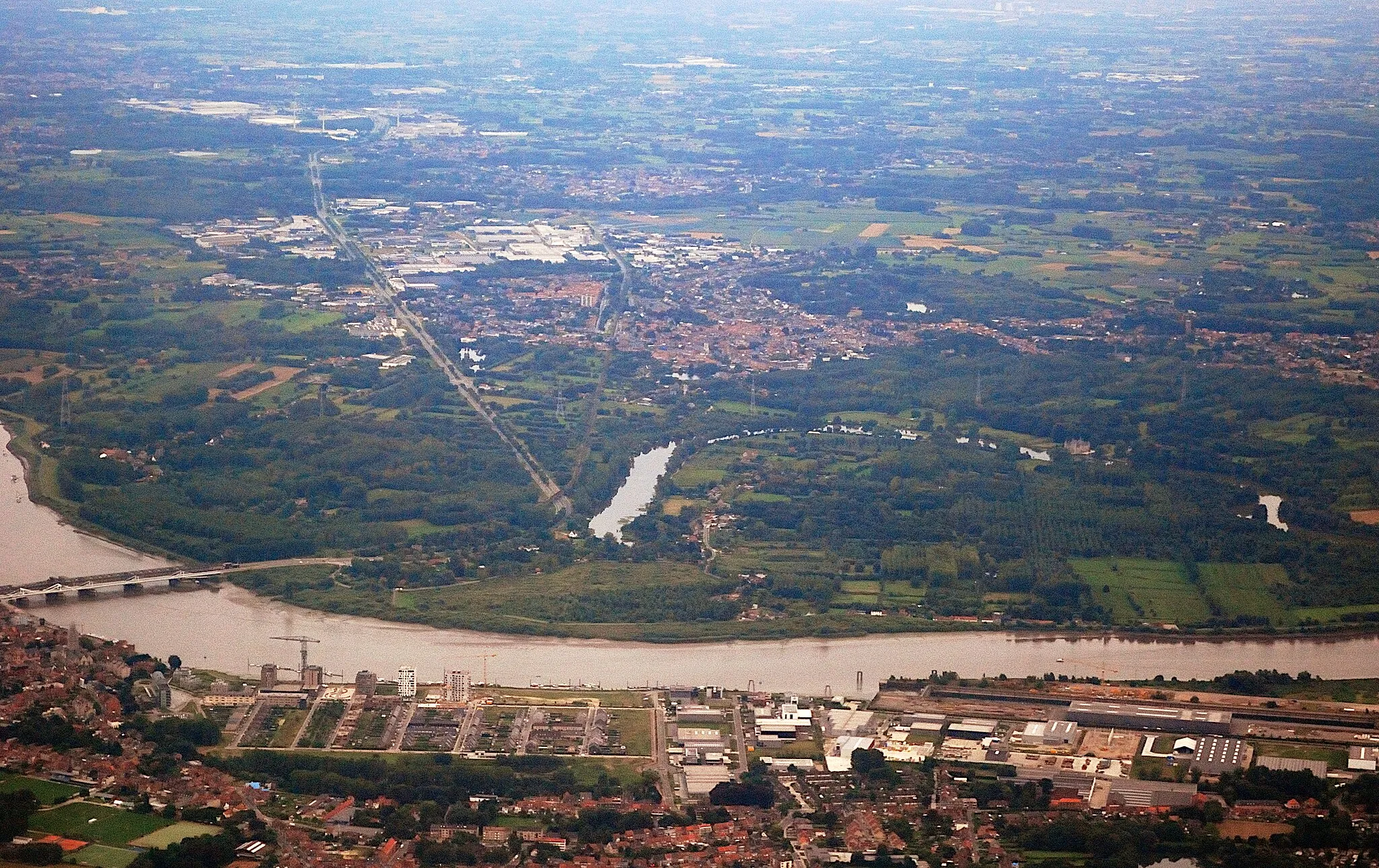
Sint-Amands is situated in the province of Antwerpen, Belgium. As a cyclist, Sint-Amands offers a mix of road and gravel routes. The roads in this area are generally in good condition, and cyclists can enjoy peaceful rides along the scenic riverbanks of the Scheldt. In terms of famous cycling spots nearby, Sint-Amands is close to the climb of Muur van Geraardsbergen, a legendary cobbled climb with steep gradients that has featured in races like the Tour of Flanders. With its beautiful surroundings and historical significance, Sint-Amands is a great destination for cyclists.
Explore charming villages and beautiful natural attractions
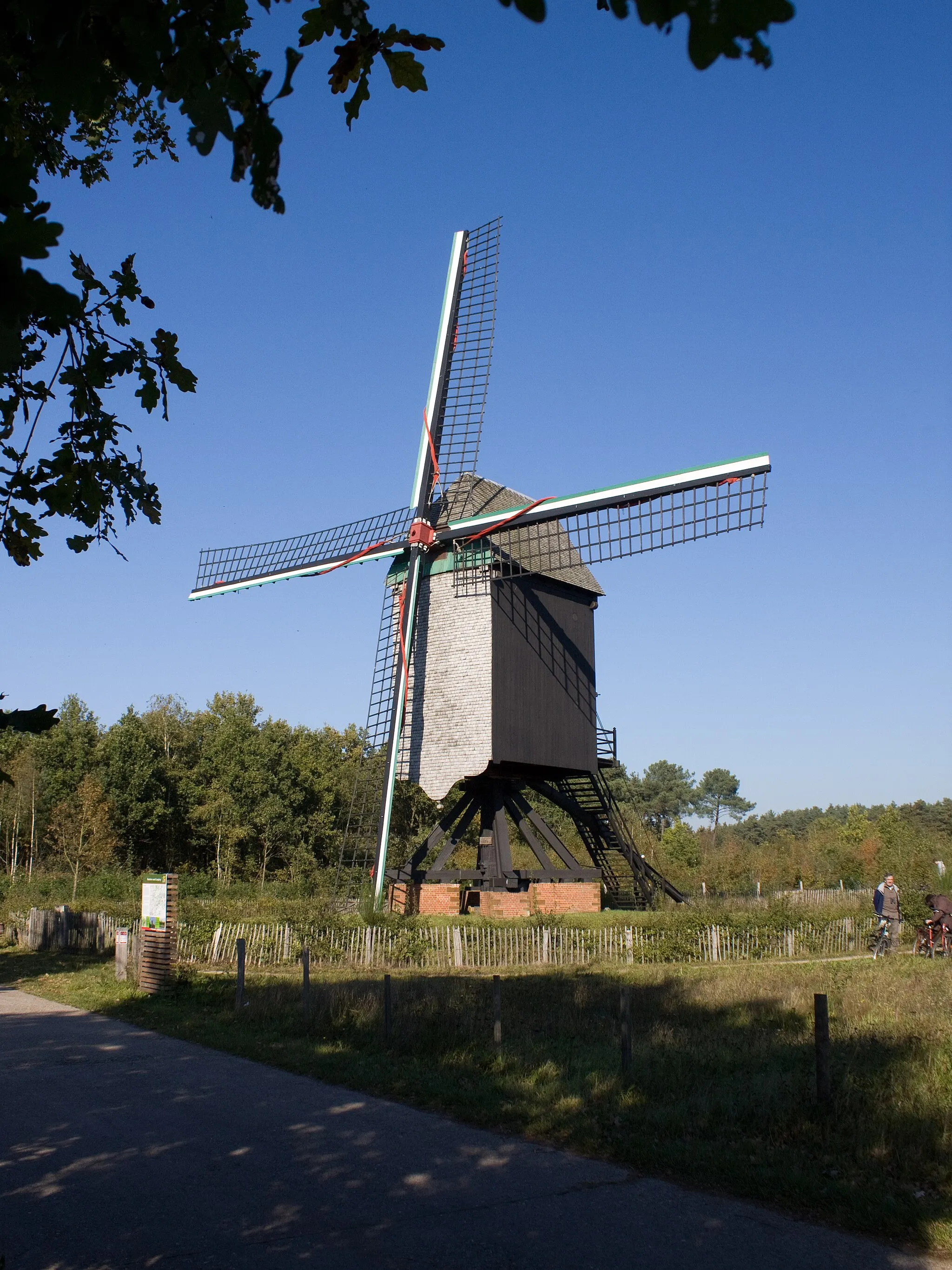
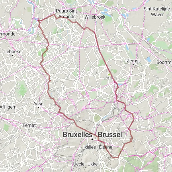
This round-trip cycling route near Sint-Amands takes you through picturesque villages and offers stunning views of natural sights. With a moderate difficulty level, it is suitable for very well-trained amateur cyclists. The route covers a distance of 112 km and includes an ascent of 48 meters. Enjoy the scenic beauty as you pedal through the countryside.
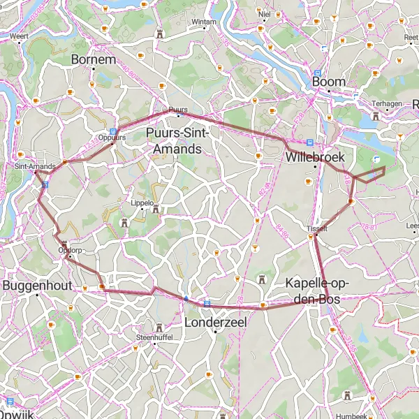
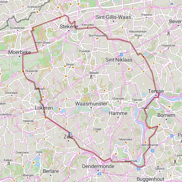
Baasrode Loop
Discover the scenic beauty of Baasrode on this gravel cycling route.
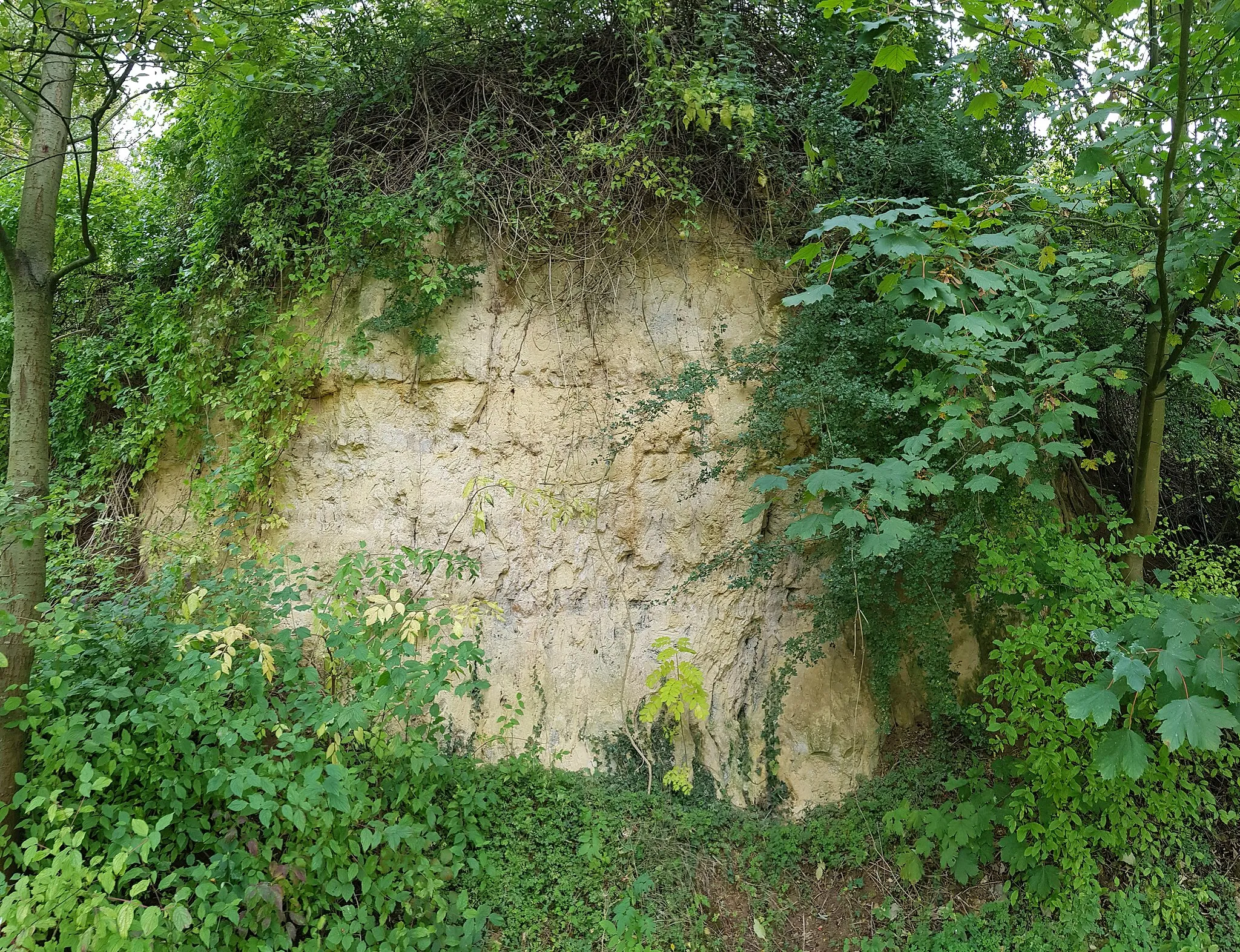
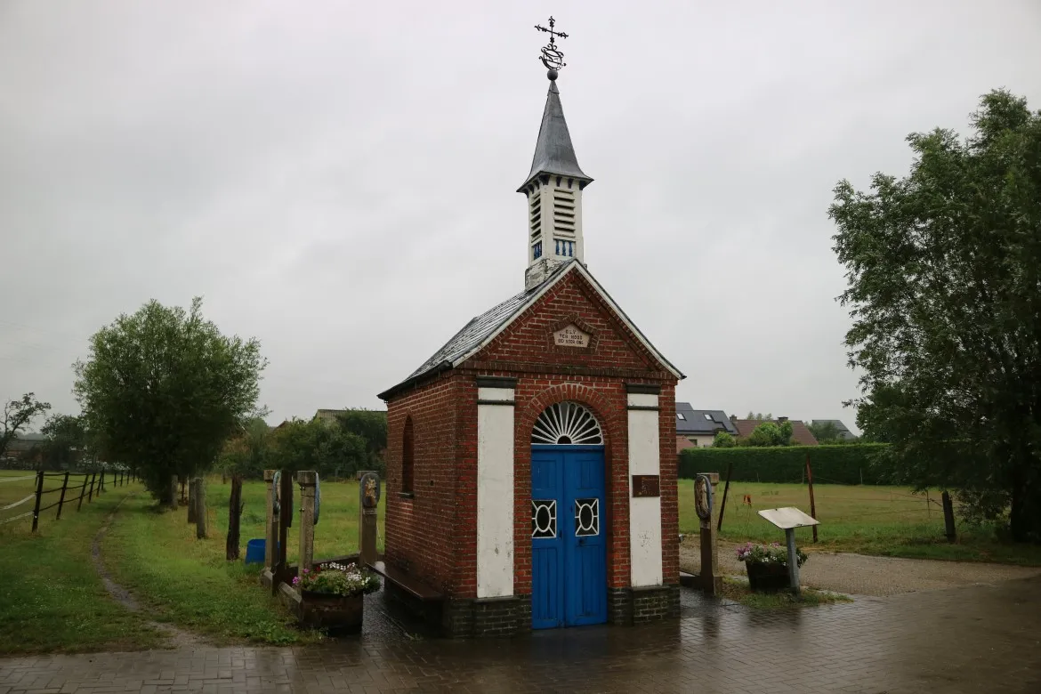
Explore the beautiful landscapes around Sint-Amands with this gravel route that covers a distance of 65 km and an elevation gain of 95 m. The route takes you through the charming town of Baasrode, renowned for its historical buildings. Enjoy the peaceful countryside scenery as you cycle along the route.
Riverside Ride

Embark on this road cycling route along the scenic riverside paths near Sint-Amands.
Experience the charm of the riverside towns near Sint-Amands with this road cycling route covering a distance of 86 km and featuring an elevation gain of 67 m. As you ride along the route, you'll soak in the picturesque landscapes and discover hidden gems along the way. The route takes you through Lebbeke, Berlare, Zeveneken, Moerbeke, Belsele, Temse, and Mariekerke, each offering unique attractions and scenic spots.
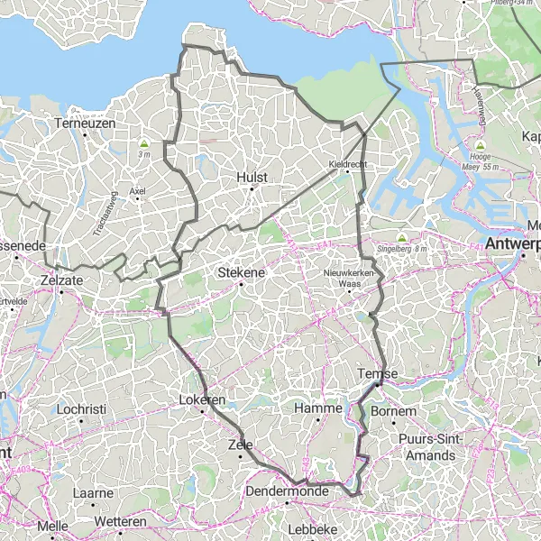
Embark on an adventurous gravel cycling journey with cultural highlights
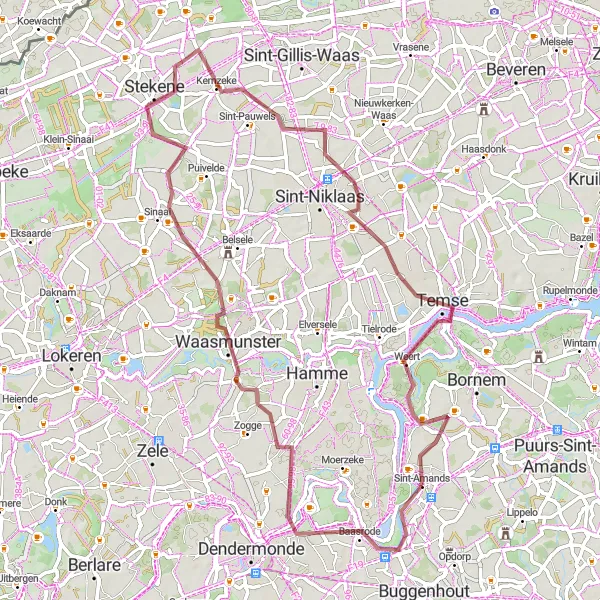
This gravel cycling route starting near Sint-Amands offers a thrilling adventure with cultural exploration opportunities. With a difficulty level suited for experienced cyclists, it covers a distance of 86 km and includes a challenging ascent of 361 meters. Along the way, you'll encounter historical landmarks and enjoy the natural beauty of the surroundings.
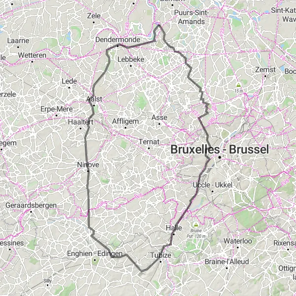
The Ultimate Challenge
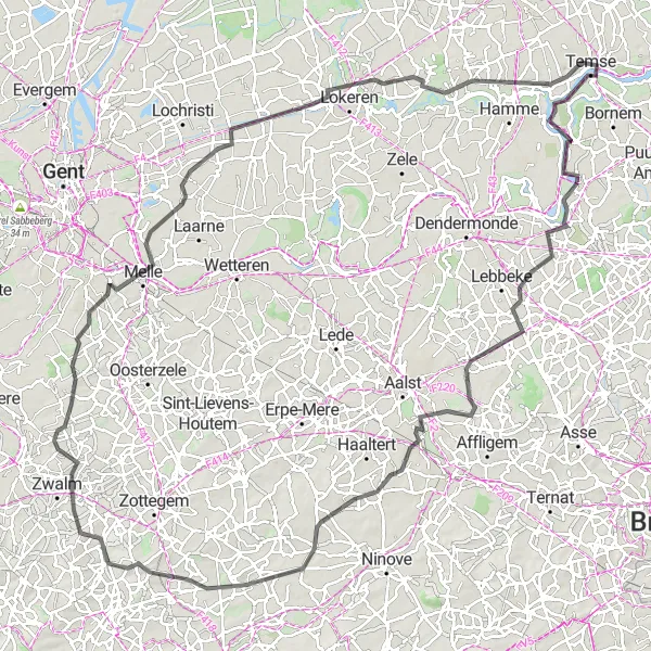
Conquer challenging climbs and breathtaking scenery on this epic road cycling route near Sint-Amands.
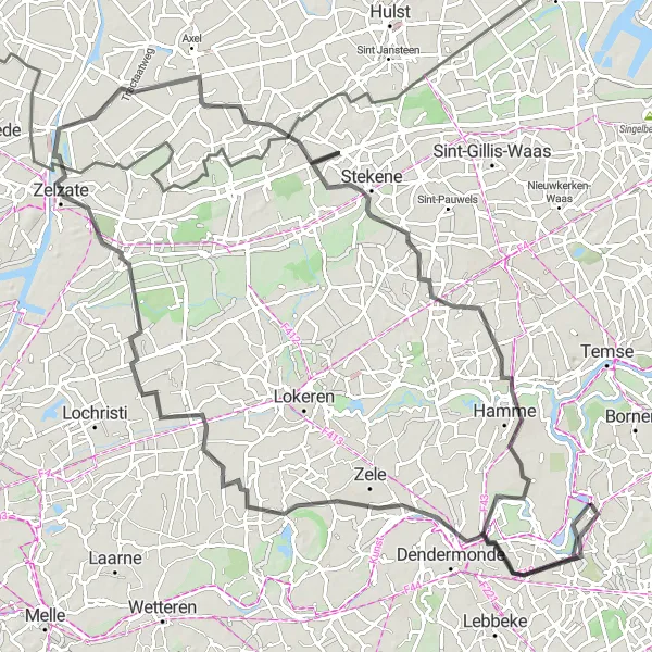
Get ready for an unforgettable cycling adventure with this road route, covering a total distance of 129 km and featuring a demanding ascent of 486 m. This challenging route takes you through picturesque landscapes, including the towns of Moorsel, Aspelare, Berendries, Michelbeke, Paulatem, Melle, Mont Henri, Lokeren, Waasmunster, Temse, and Mariekerke. Prepare yourself for steep climbs, thrilling descents, and panoramic views that will leave you awestruck.
Uncover hidden gems on this gravel cycling route near Sint-Amands.
Explore the lesser-known attractions near Sint-Amands with this gravel cycling route that covers a distance of 40 km and features a moderate elevation gain of 39 m. As you pedal through Puurs, Willebroek, Vogelkijkhut, Londerzeel, and Opdorp, you'll discover unique highlights and scenic spots often overlooked by tourists.
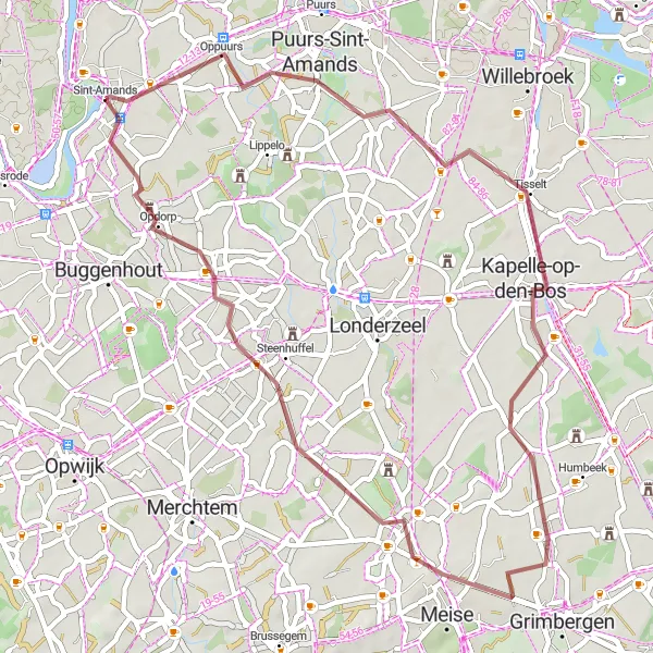
Venture off the main roads and discover hidden gems on this gravel cycling route near Sint-Amands.
Escape the crowds and embrace the tranquility of the countryside with this off-road cycling route covering 46 km and featuring an elevation gain of 83 m. Venture through the towns of Breendonk, Meise, and Opdorp as you uncover hidden gems and scenic landscapes less explored by traditional road cyclists.
Explore lesser-known gravel routes with hidden gems along the way
This gravel cycling route near Sint-Amands takes you off the beaten path, exploring lesser-known gravel routes with hidden gems along the way. With a moderate difficulty level, it covers a distance of 76 km and includes an ascent of 76 meters. Discover the untamed beauty of these scenic trails and unveil the secrets of the countryside.
Coastal Gems and Rural Delights
Experience the diversity of landscapes from coastal areas to rural landscapes on this cycling route
This road cycling route near Sint-Amands takes you on a diverse journey, from coastal areas to charming rural landscapes. With a moderate difficulty level, it covers a distance of 120 km and includes an ascent of 56 meters. Discover the contrasting beauty of the coastline and countryside as you pedal through this scenic route.
Discover historical heritage and scenic landscapes on this rewarding cycling route near Sint-Amands
This road cycling route near Sint-Amands offers a perfect blend of historical heritage and breathtaking landscapes. With a difficulty level suitable for experienced cyclists, it covers a distance of 120 km and includes an ascent of 431 meters. Travel through time as you explore the cultural landmarks and enjoy the picturesque beauty of the surroundings.
Cycling routes nearby:

Nearby regions: