Discover urban and natural cycling experiences in Charleroi.
Cycling routes from Charleroi
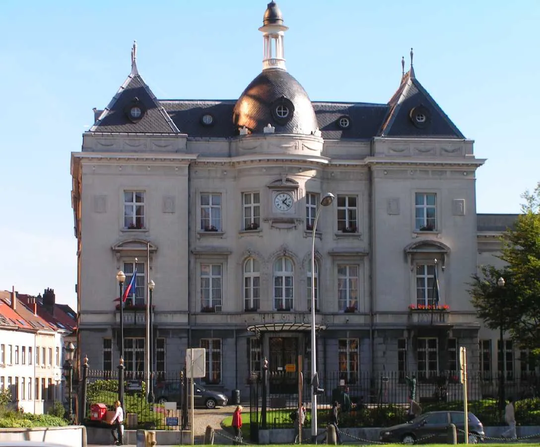
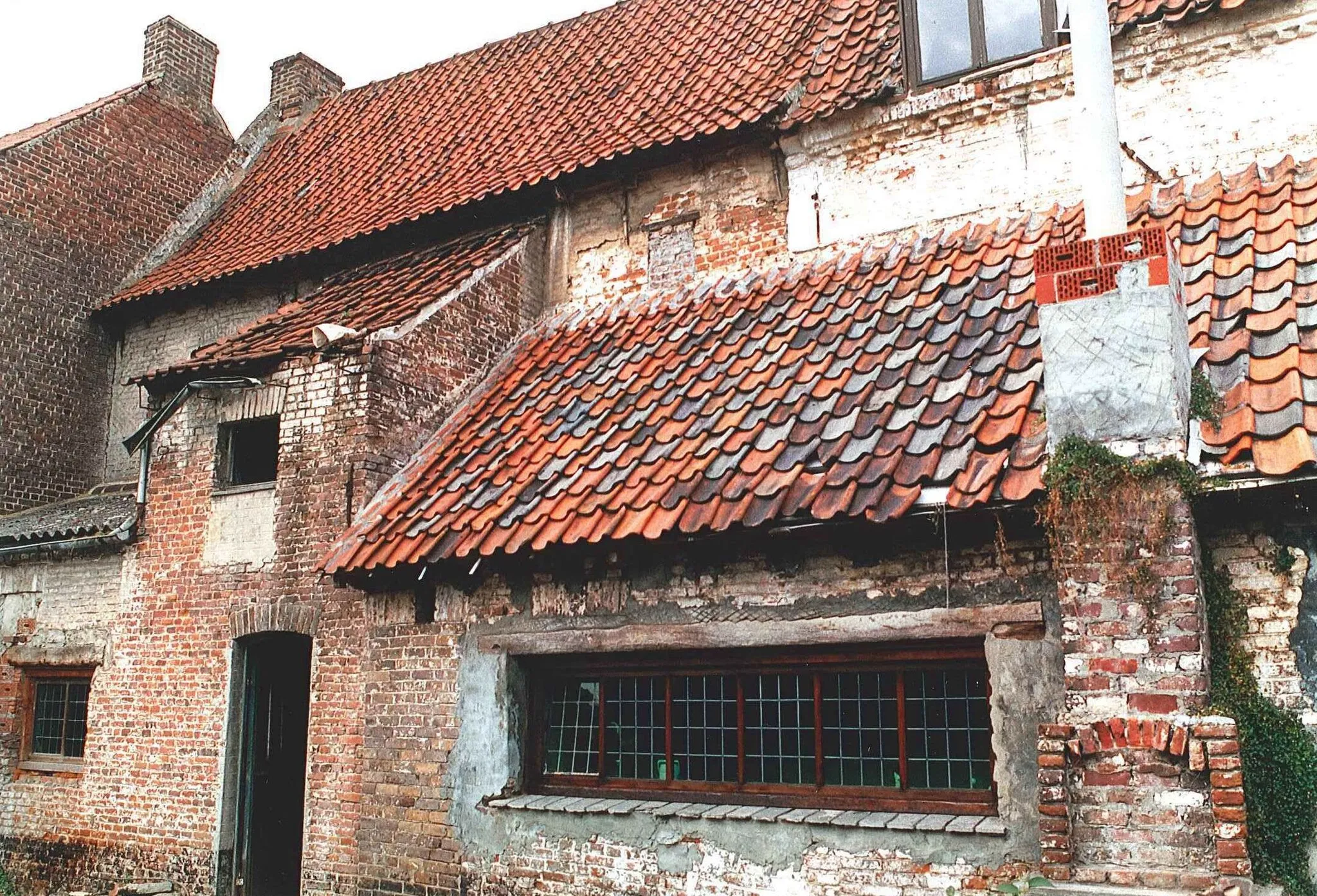
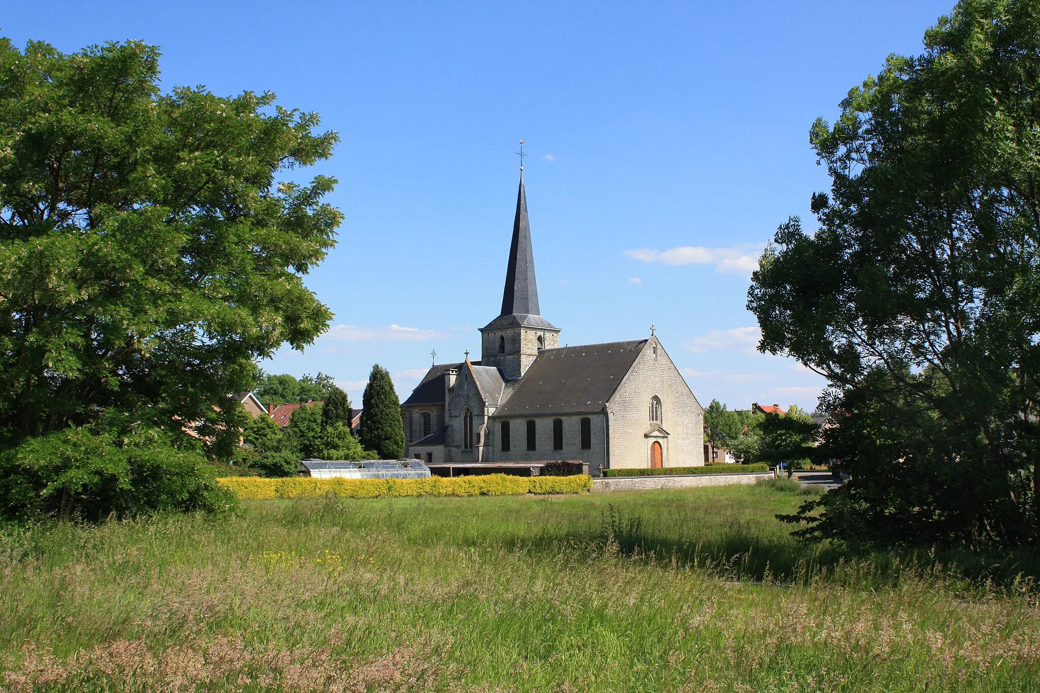
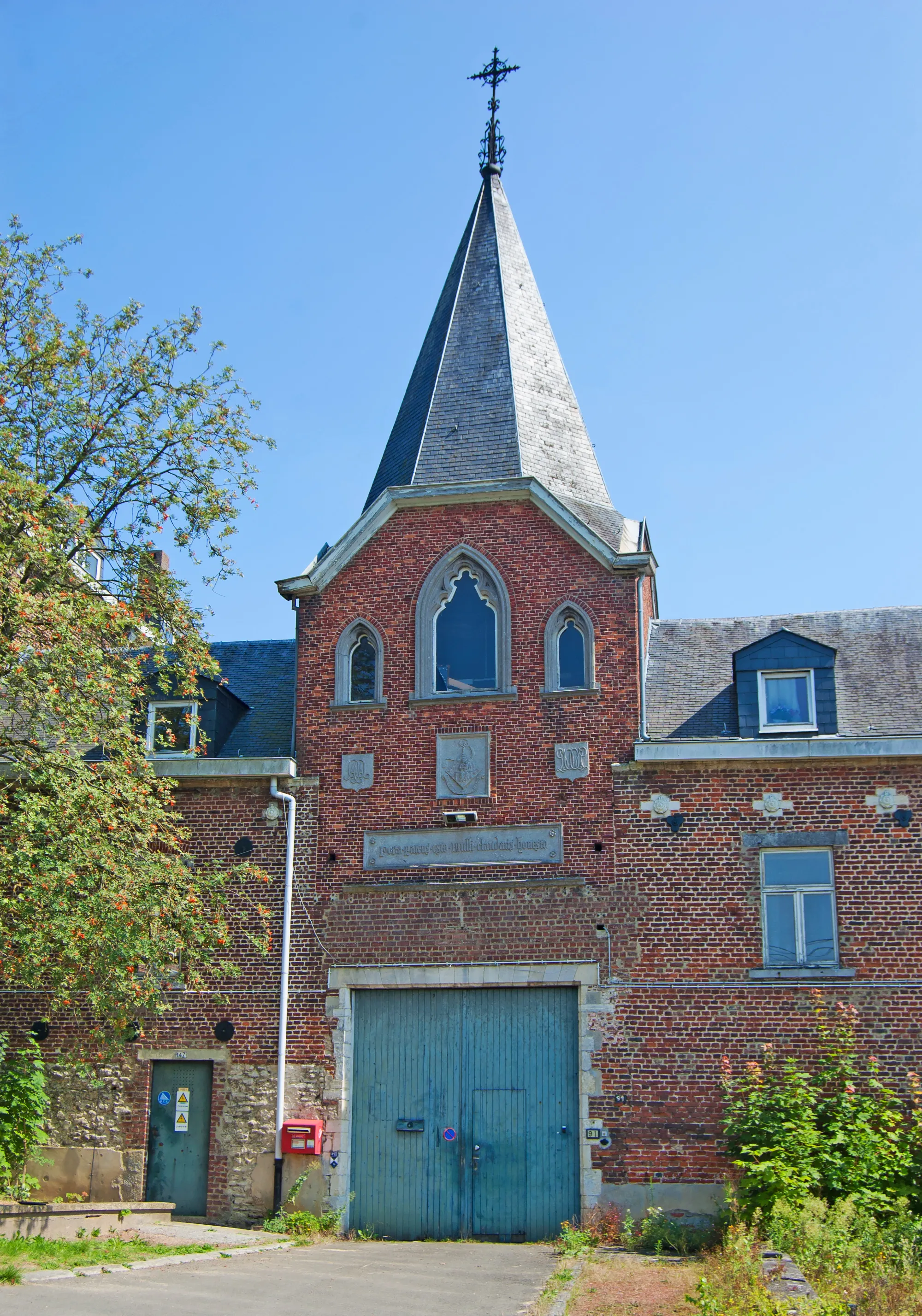
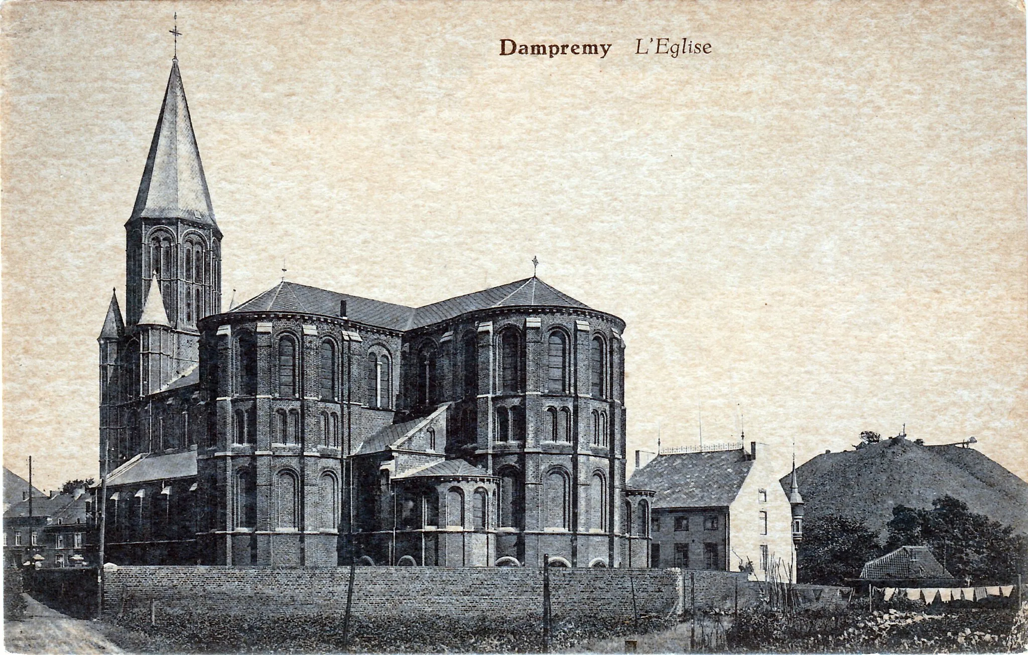
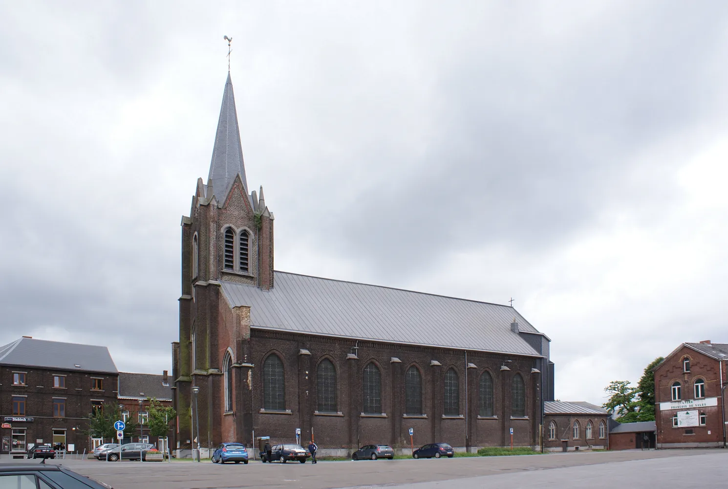
Charleroi is located in Prov. Hainaut, Belgium. The locality offers various cycling options, including urban rides and nearby nature reserves. Cyclists can explore the city center, known for its industrial history and vibrant atmosphere. The surrounding region features nature reserves such as La Thuin and Parc de Budingen, providing off-road trails and opportunities for more adventurous riding. Charleroi itself does not have any famous cycling-related spots or well-known climbs, but its combination of urban and natural environments makes it an interesting destination for cyclists. The city has cycling infrastructure in place, and riders can enjoy exploring its diverse landscapes.
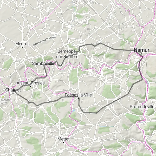
A scenic road tour through Namur and Fosses-la-Ville
This road route takes you on a scenic tour through the picturesque towns of Namur and Fosses-la-Ville. With a total distance of 71 km and an ascent of 672m, it provides a challenging but rewarding ride for road cyclists. The highlights along the route include Sambreville, Jemeppe-sur-Sambre, Namur, Wépion, Fosses-la-Ville, and Sart-Eustache.
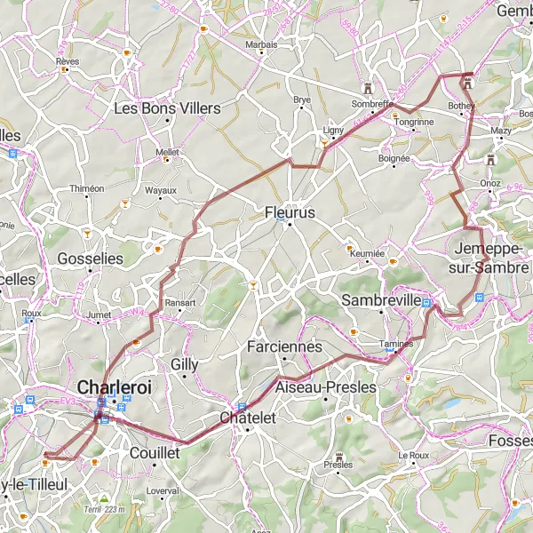
Discover interesting industrial heritage sites and a unique cultural complex
This gravel route takes you through interesting industrial heritage sites before reaching the unique Cité de l'Enfance. With a total distance of 66 km and an ascent of 374m, it provides a varied and fascinating journey for gravel riders. The highlights along the route include Charleroi, Terril des Piges, Ligny, Jemeppe-sur-Sambre, Châtelet, Terril du Boubier 2, and Cité de l'Enfance.
Scenic gravel ride through scenic coal mining sites and a picturesque castle
This gravel route takes you on a scenic tour through the former coal mining sites and ends at the picturesque Château Mondron. With a total distance of 75 km and an ascent of 425m, it provides a challenging yet rewarding experience for gravel riders. The highlights along the route include Terril Blanchisserie, Pont-à-Celles, Baulers, Genappe, Arbre de la Bruyère, Fleurus, and Château Mondron.
Exploring the scenic countryside around Charleroi
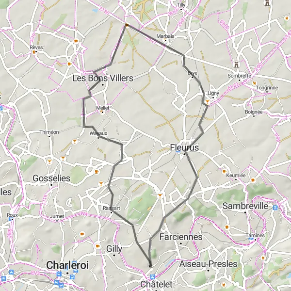
The Charleroi Countryside Road Cycling Route is a delightful 42-kilometer route with an ascent of 275 meters. Ideal for cyclists looking for a shorter ride, this route showcases highlights such as Ransart, Marbais, Fleurus, and Pironchamps. Enjoy the charming villages, rolling hills, and picturesque landscapes on this scenic adventure starting near Charleroi.
Explore the historic towns around Charleroi
This road route takes you through the historic towns surrounding Charleroi, providing a diverse mix of scenic landscapes and charming architecture. With a total distance of 46 km and an ascent of 377m, it is suitable for cyclists of all levels. The highlights along the route include Pironchamps, Auvelais, Ham-sur-Sambre, Châtelet, and Montignies-sur-Sambre.
Through charming Flemish villages and industrial landscapes
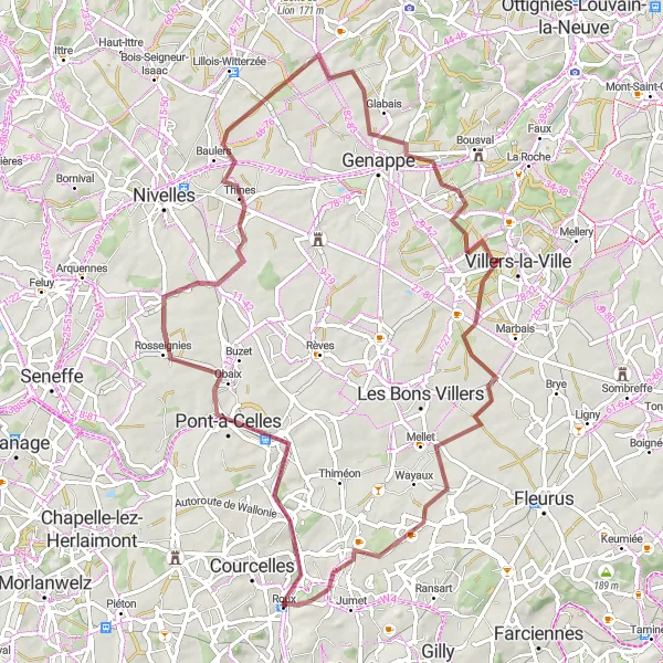
This gravel route takes you through a mix of scenic Flemish villages and industrial landscapes in the Charleroi region. With a total distance of 73 km and an ascent of 555m, it offers a good challenge for gravel riders. The highlights along the route include Pont-à-Celles, Baulers, Genappe, Arbre de la Bruyère, and Gosselies.
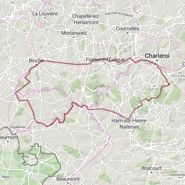
Explore the scenic beauty of Jamioulx and Binche on a gravel tour
Embark on a scenic 74-kilometer gravel tour through the picturesque landscapes of Jamioulx and Binche. With an ascent of 636 meters, this route offers a mix of natural beauty and historical sites worth exploring. Highlights include Jamioulx, Le Spantôle, Thuin, Merbes-le-Château, Binche, Terril Calvaire 2, and the charming city of Charleroi. Enjoy cycling through forests, winding paths, and rolling hills, accompanied by the rich history and cultural heritage of the region.
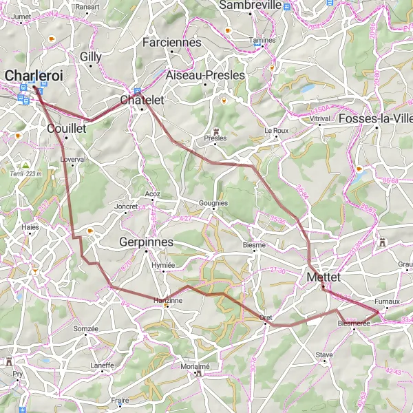
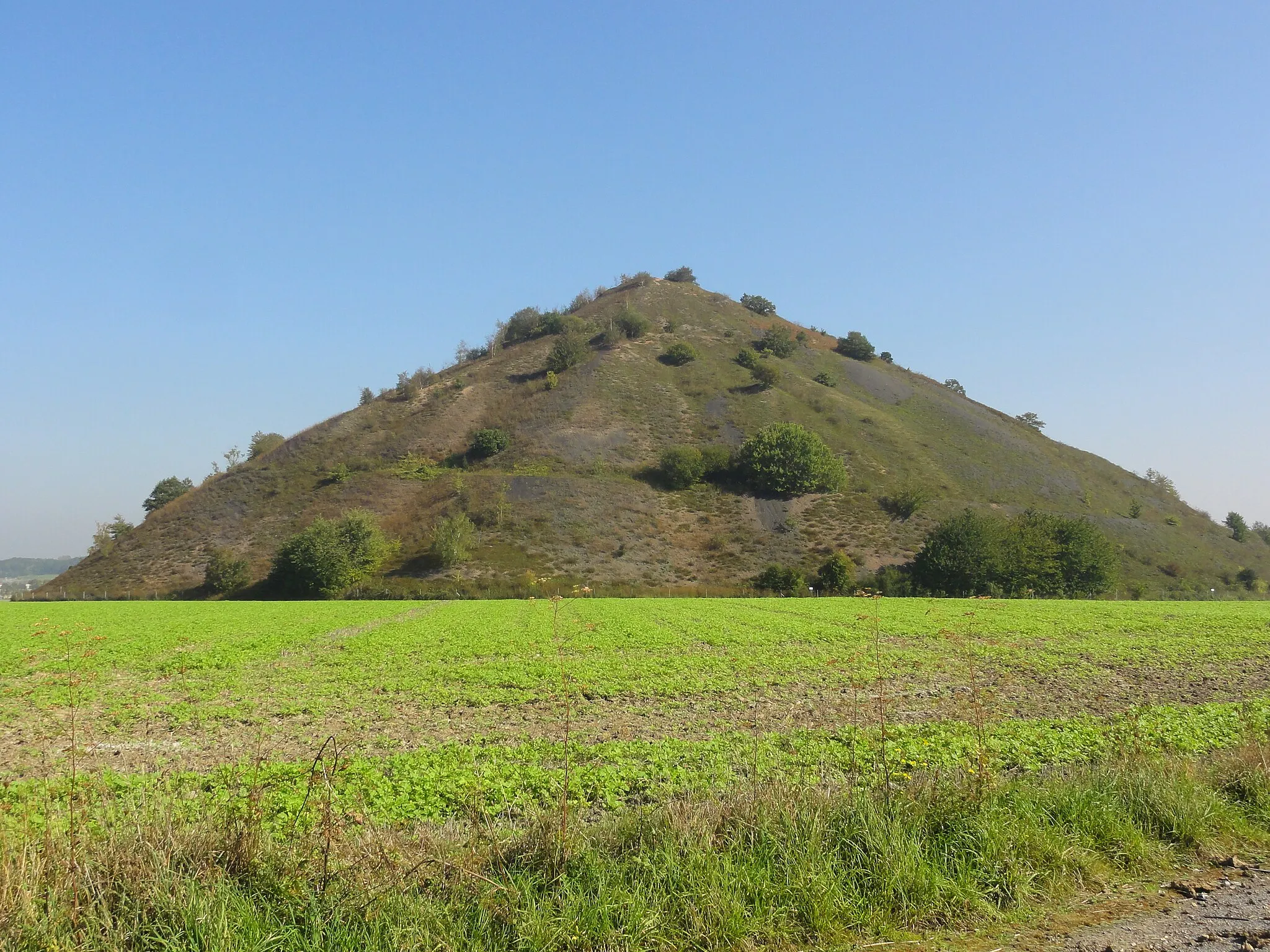
Embark on a thrilling gravel adventure in Montignies-sur-Sambre
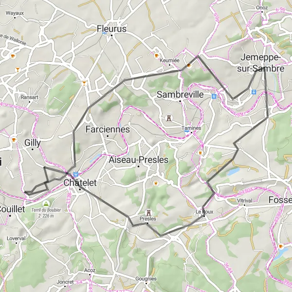
If you're looking for an adventurous gravel cycling route near Charleroi, the Montignies-sur-Sambre route is perfect for you. With a distance of 55 kilometers and an ascent of 518 meters, this route offers a challenging experience for gravel enthusiasts. Start by exploring the unique landscape of Montignies-sur-Sambre, known for its old mining sites and industrial heritage. As you ride along, make sure to take a detour to the Terril du Boubier 2, an iconic landform created by coal mining activities. Enjoy the picturesque views and learn about the region's history. Continue your journey to Mettet, a charming town famous for its annual motorcycle racing event. Take a break at the Table d'orientation, a captivating viewpoint that offers panoramic views of the surrounding area. Lastly, don't miss Marcinelle, a suburb of Charleroi known for its vibrant street art scene and cultural diversity.
Pont-à-Celles Cycling Route
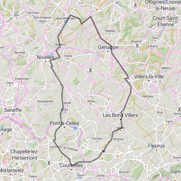
Discover the charming town of Pont-à-Celles on this road cycling route
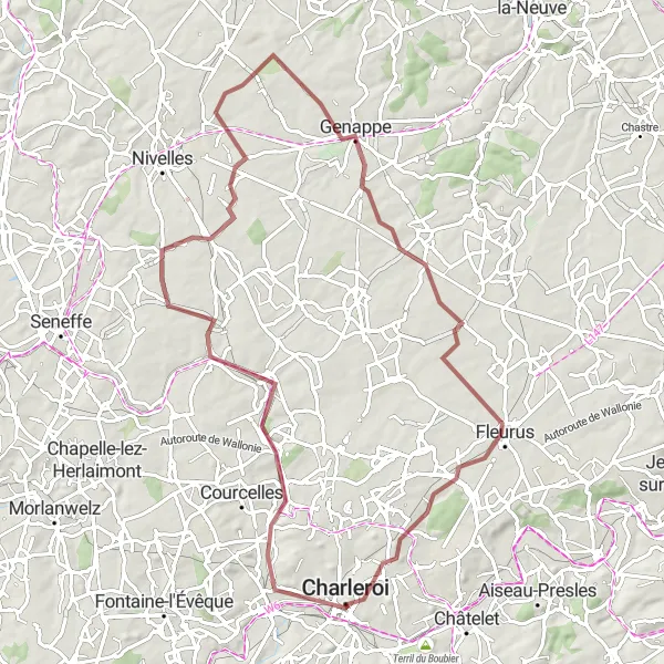
This road cycling route near Charleroi takes you through the picturesque town of Pont-à-Celles and its beautiful surroundings. With a total distance of 62 kilometers and an ascent of 463 meters, this route offers a moderate challenge for well-trained amateurs. Along the way, you'll pass through the historic town of Nivelles, known for its stunning architecture and rich cultural heritage. Genappe, another highlight of the route, is famous for its traditional Belgian beer and charming cobblestone streets. As you continue, don't miss the opportunity to visit Mellet, a charming village with historical landmarks and breathtaking views. Finally, make a stop at Gosselies, a vibrant town with a bustling market and delicious local cuisine.
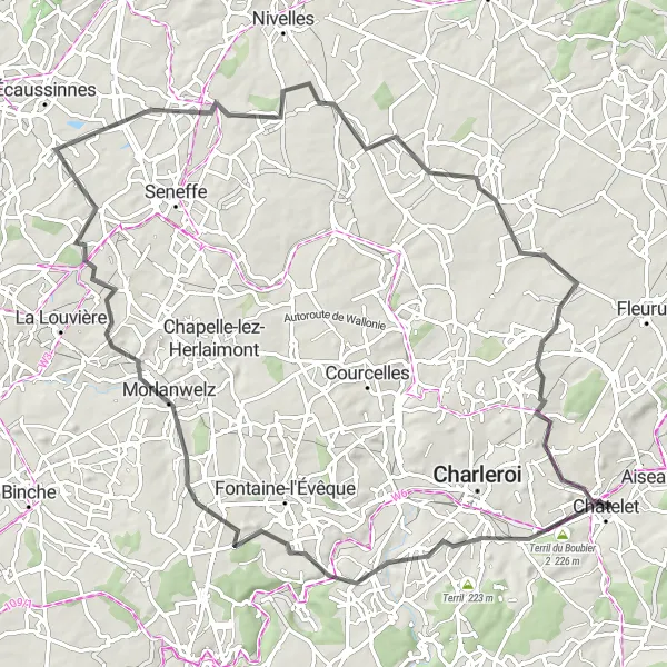
Discovering the beauty of terrils in Hainaut
Prepare to be enchanted by the enchanting Terrils Road Cycling Route. Spanning 88 kilometers with an elevation gain of 656 meters, this road cycling route showcases some of the most awe-inspiring terrils in the region. Highlights along the route include Terril du Boubier 2, Marcinelle, Morlanwelz, Arquennes, Mellet, and Gilly. Immerse yourself in the unique landscapes created by the transformation of former mining sites into green hills, offering breathtaking views and a touch of industrial history.
Cycling routes nearby:
Nearby regions: