Explore Cycling Routes in Hennuyères
Cycling routes from Hennuyeres
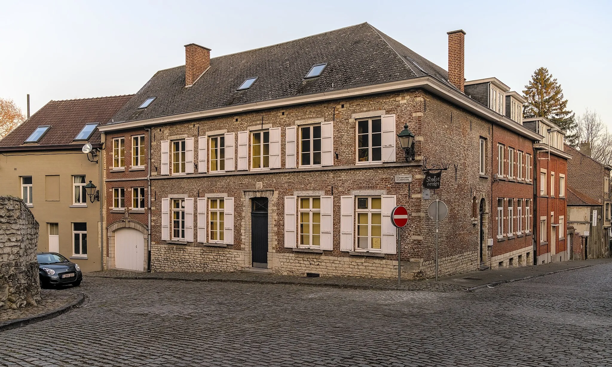
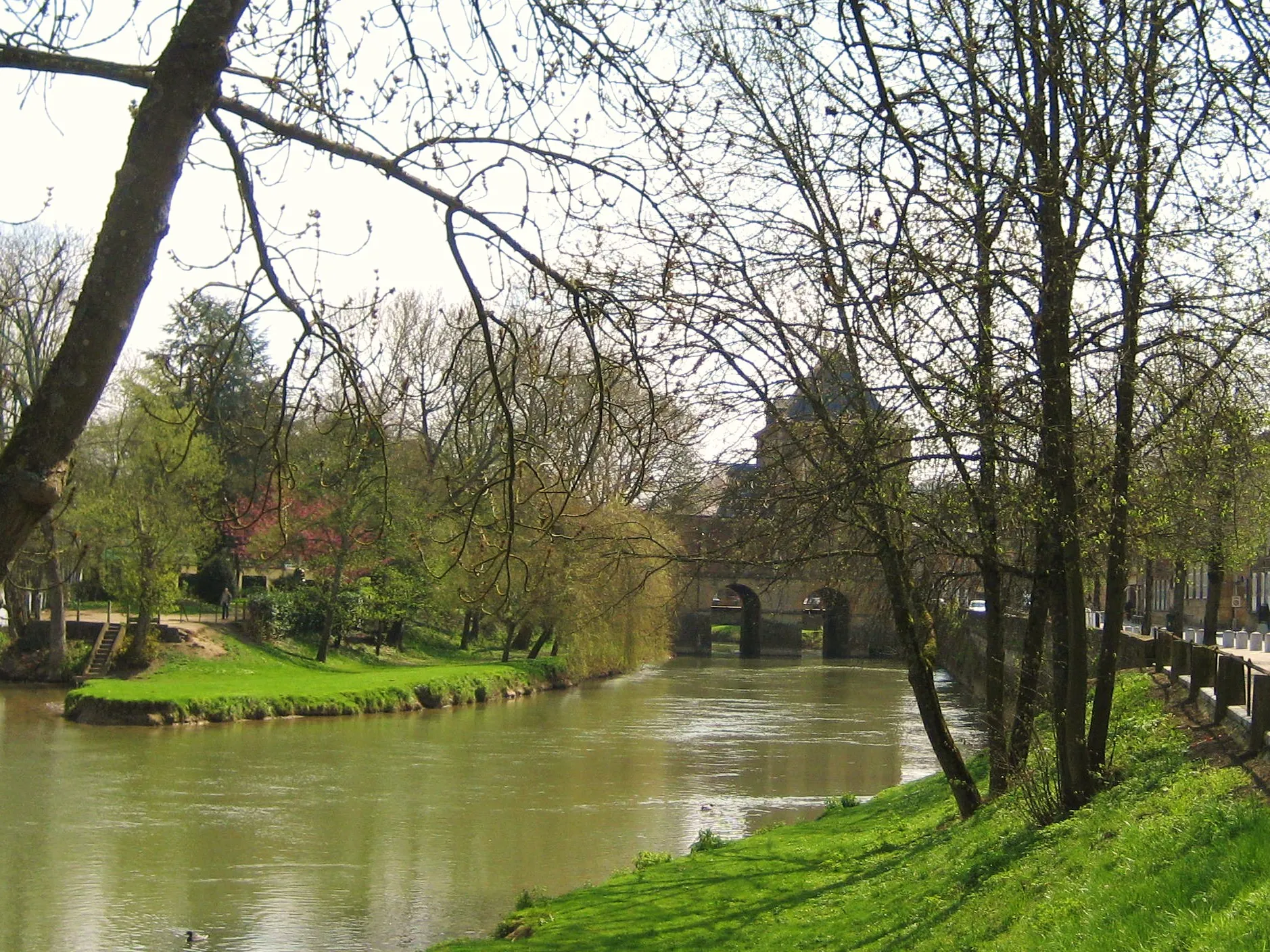
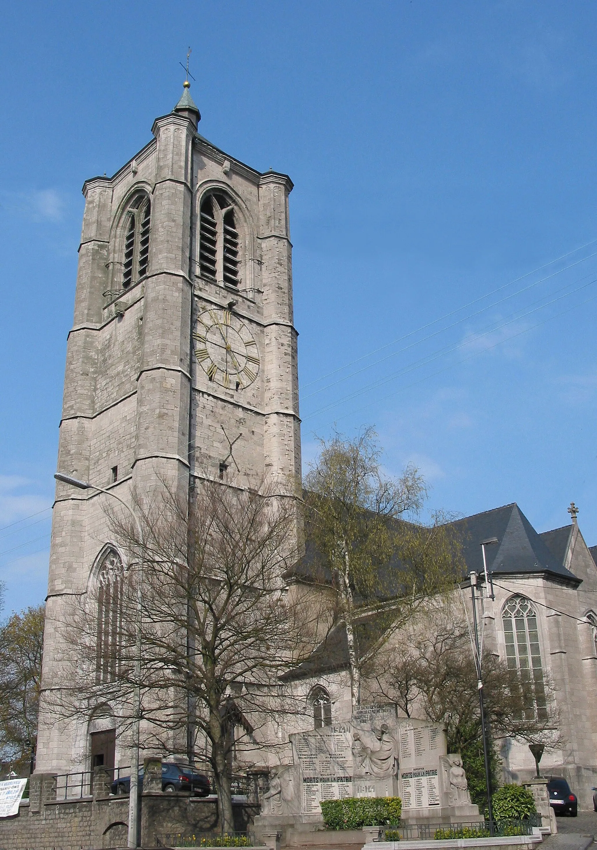
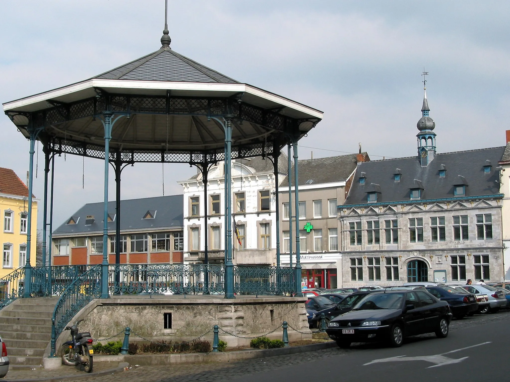
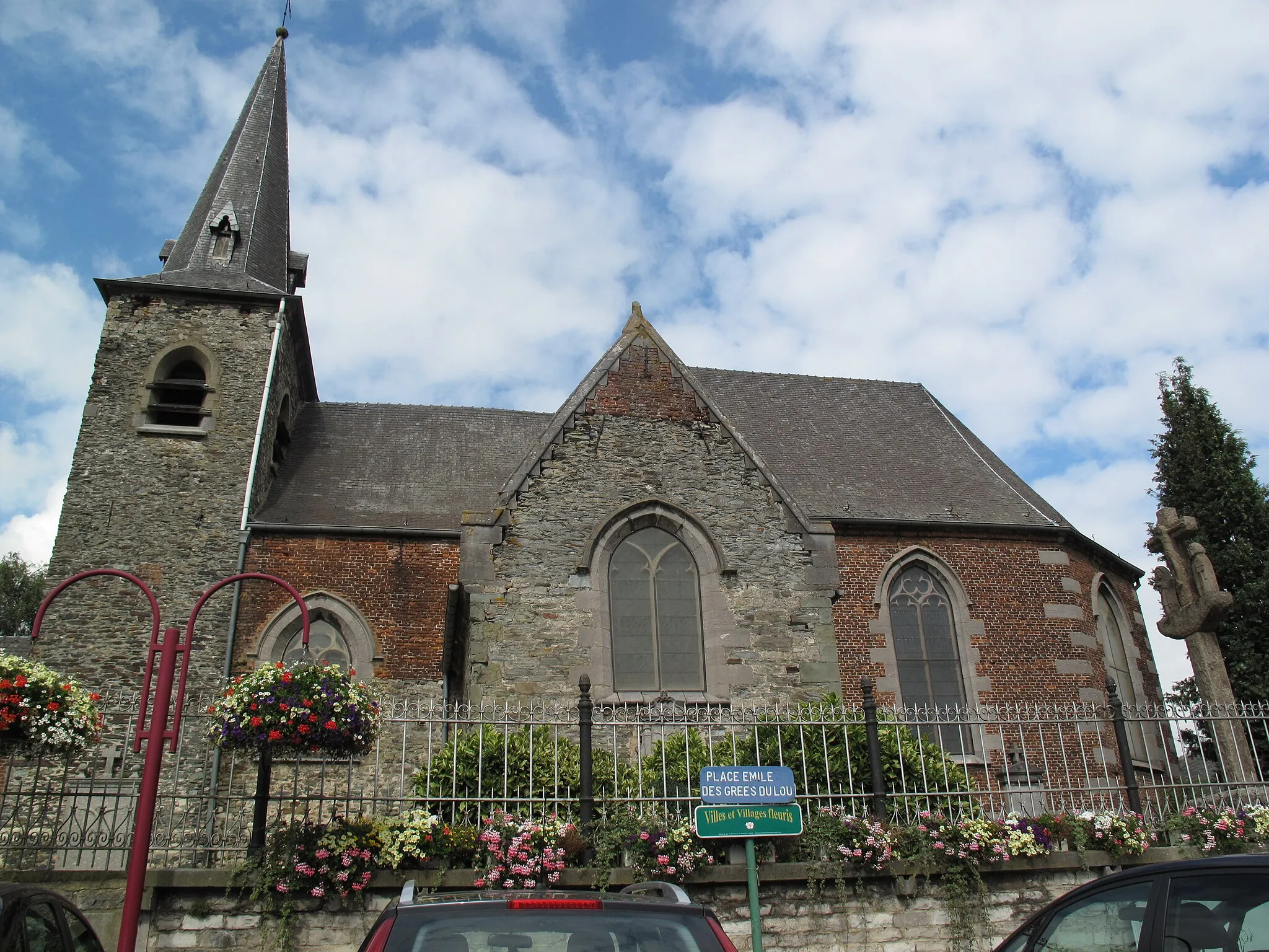
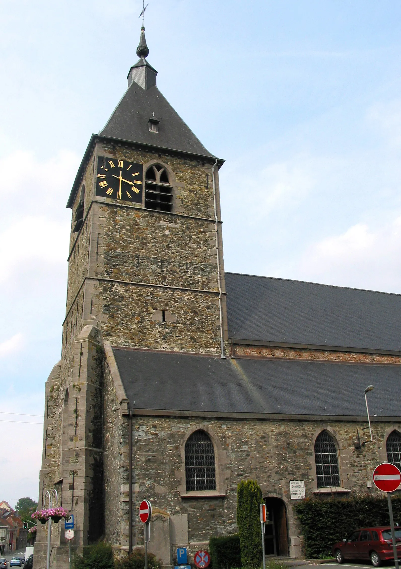
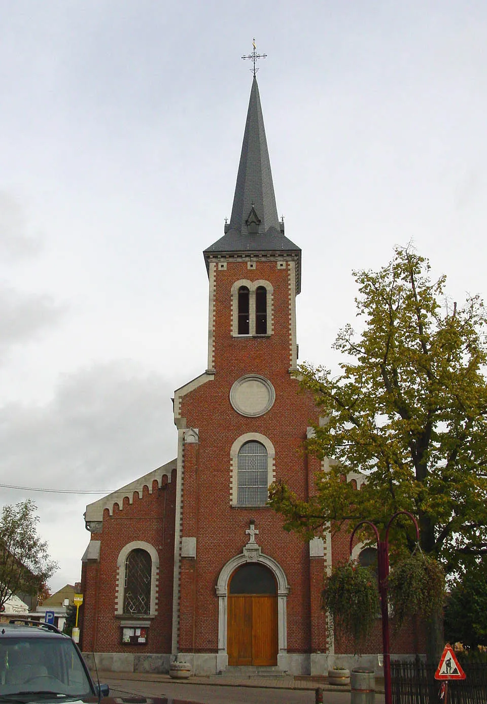
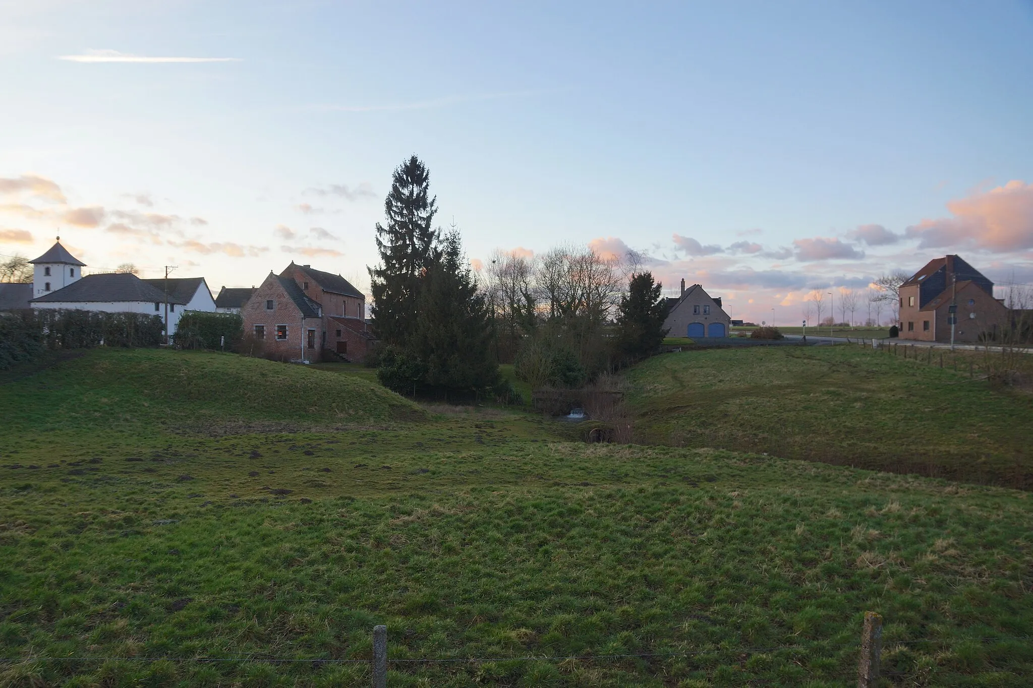
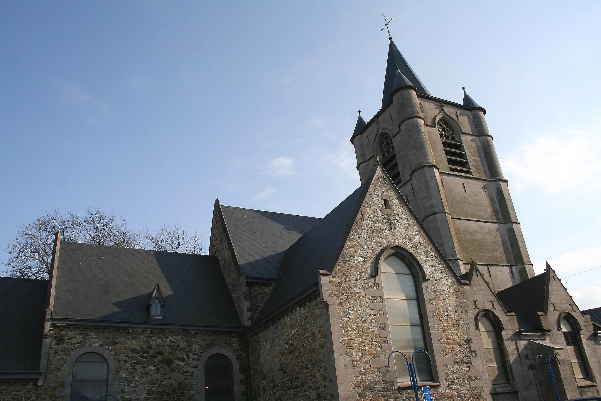
Hennuyères is a picturesque locality situated in the Prov. Hainaut region of Belgium. If you enjoy road and gravel cycling, Hennuyères offers a range of diverse routes. The region presents a mix of flat roads and challenging climbs, allowing cyclists to tailor their rides according to their skill level and preferences. Cyclists can revel in the beauty of the surrounding countryside, characterized by idyllic landscapes and charming villages. Notably, the iconic Bosberg climb is located nearby, attracting cycling enthusiasts who seek thrilling uphill challenges. Hennuyères is a hidden gem for cyclists, providing a fulfilling and enjoyable cycling experience.
Hennuyères Road Cycling Route
Explore the charming countryside of Hainaut on this road cycling route starting near Hennuyères.
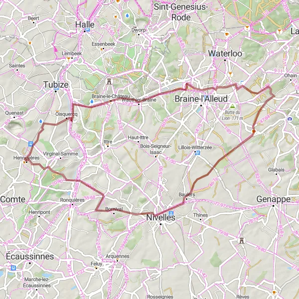
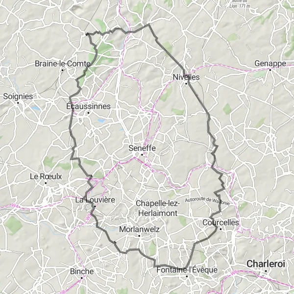
This road cycling route near Hennuyères takes you through the picturesque countryside of Hainaut, allowing you to experience the beauty of the region's landscapes. With a distance of 117 km and an ascent of 742 m, this route is suitable for well-trained amateur cyclists. You will encounter several highlights along the way, offering a great opportunity to explore local attractions. The difficulty level of this route is moderate, with occasional hilly sections, making it an interesting challenge for cyclists.
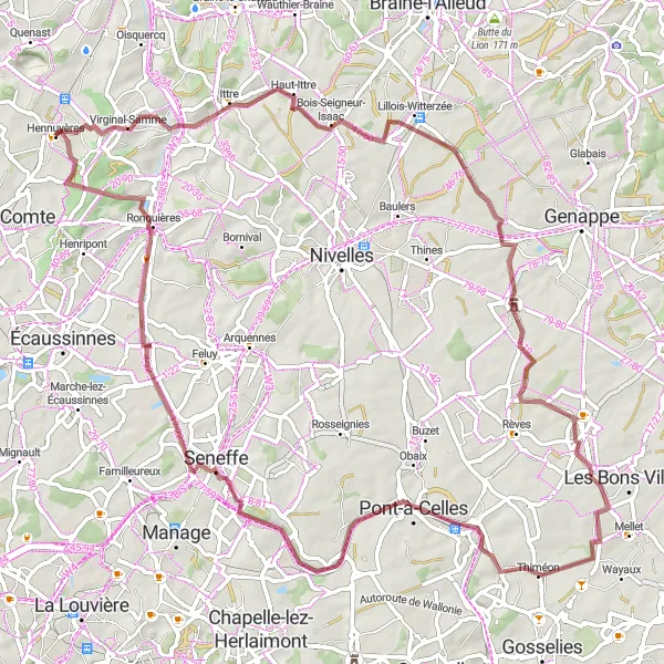
A gravel route uncovering the history of Château de Houtain-le-Val and Ronquières
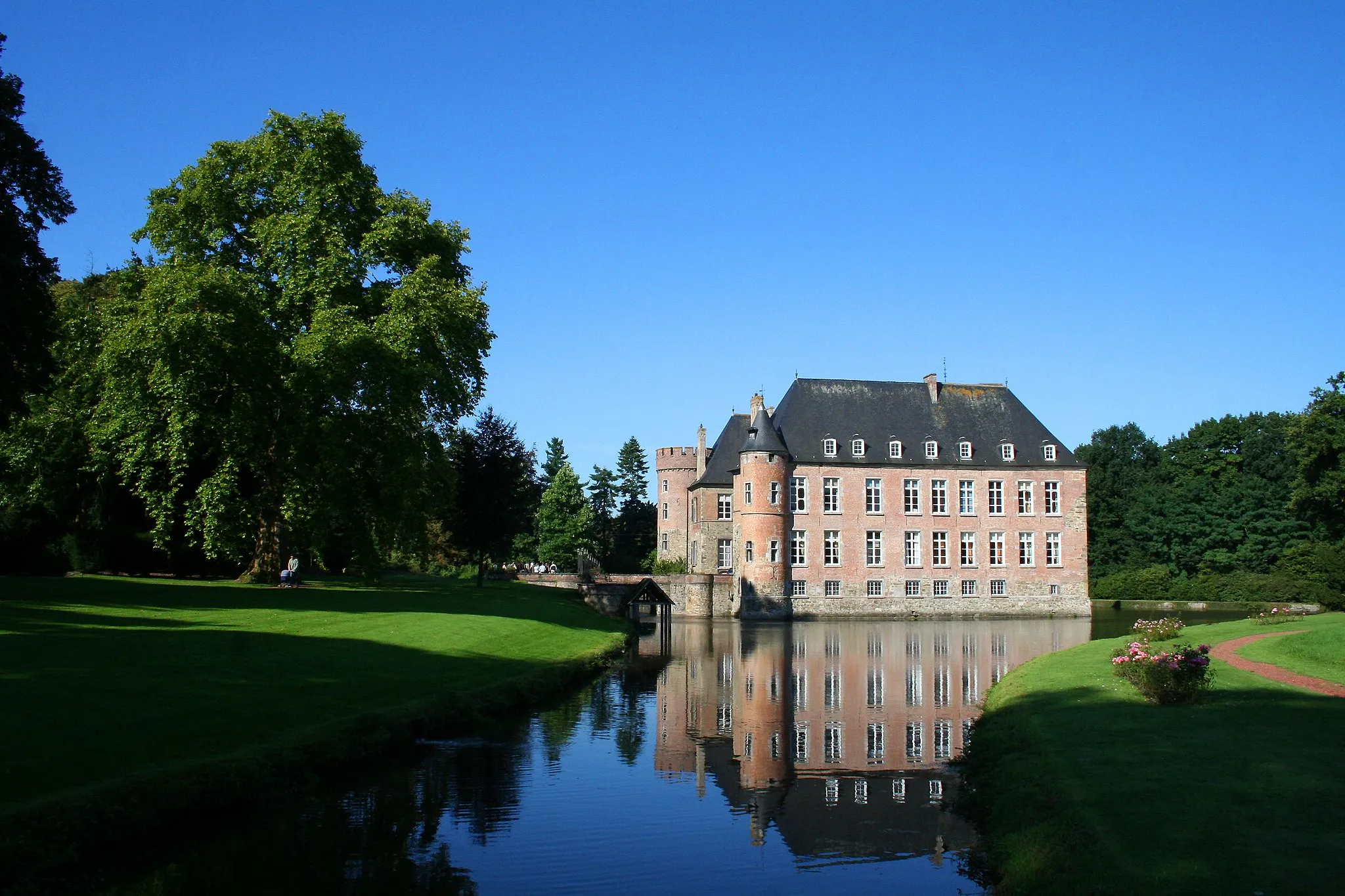
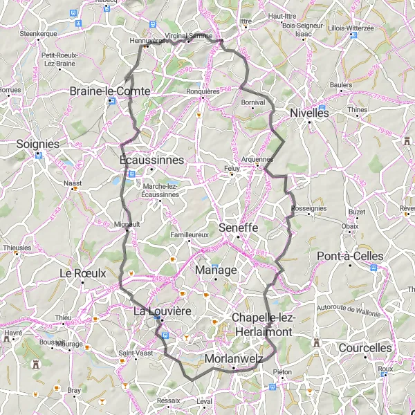
This gravel route spans 77 kilometers with an ascent of 588 meters, offering a moderate challenge. Along the way, you will discover the rich history of Château de Houtain-le-Val and Ronquières. Enjoy scenic countryside views, quaint villages, and impressive landmarks. Highlight stops include Bois-Seigneur-Isaac, Château de Houtain-le-Val, Thiméon, Seneffe, Plan incliné de Ronquières, and Ronquières.

A scenic gravel route to Ophain-Bois-Seigneur-Isaac and Bousval
Embark on a scenic gravel cycling adventure spanning 78 kilometers with a challenging ascent of 772 meters. The route takes you through picturesque landscapes, historic landmarks, and charming villages. Highlights of the route include Ophain-Bois-Seigneur-Isaac, the Observatory de l'Empereur, Château-ferme de Moriensart, Bousval, and Fauquez. Along the way, you will experience breathtaking views and immerse yourself in the beauty of Belgium's countryside.
Embark on a gravel adventure through Hennuyères, Braine-le-Château, Plancenoit, Baulers, and Fauquez.
Get off the beaten path and explore the rural beauty of Hennuyères, Braine-le-Château, Plancenoit, Baulers, and Fauquez on this 56-kilometer gravel route. With a difficulty level of 2, this route is suitable for moderate terrain and will challenge gravel enthusiasts. The route includes an ascent of 576 meters and offers stunning rural landscapes, hidden gems, and peaceful surroundings. Enjoy the peace and tranquility of the countryside as you cycle through small villages and pass by picturesque farms. Take a moment to visit the historic town of Braine-le-Château and explore its medieval castle and beautiful park. Don't miss the chance to taste some local delicacies in Plancenoit, known for its gourmet food scene. Finish your ride in scenic Baulers and Fauquez.
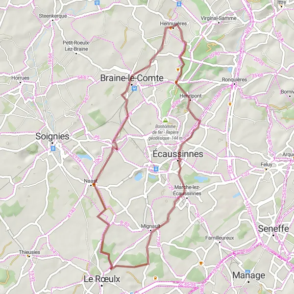
A scenic gravel route with a visit to Écaussinnes-d'Enghien and Braine-le-Comte
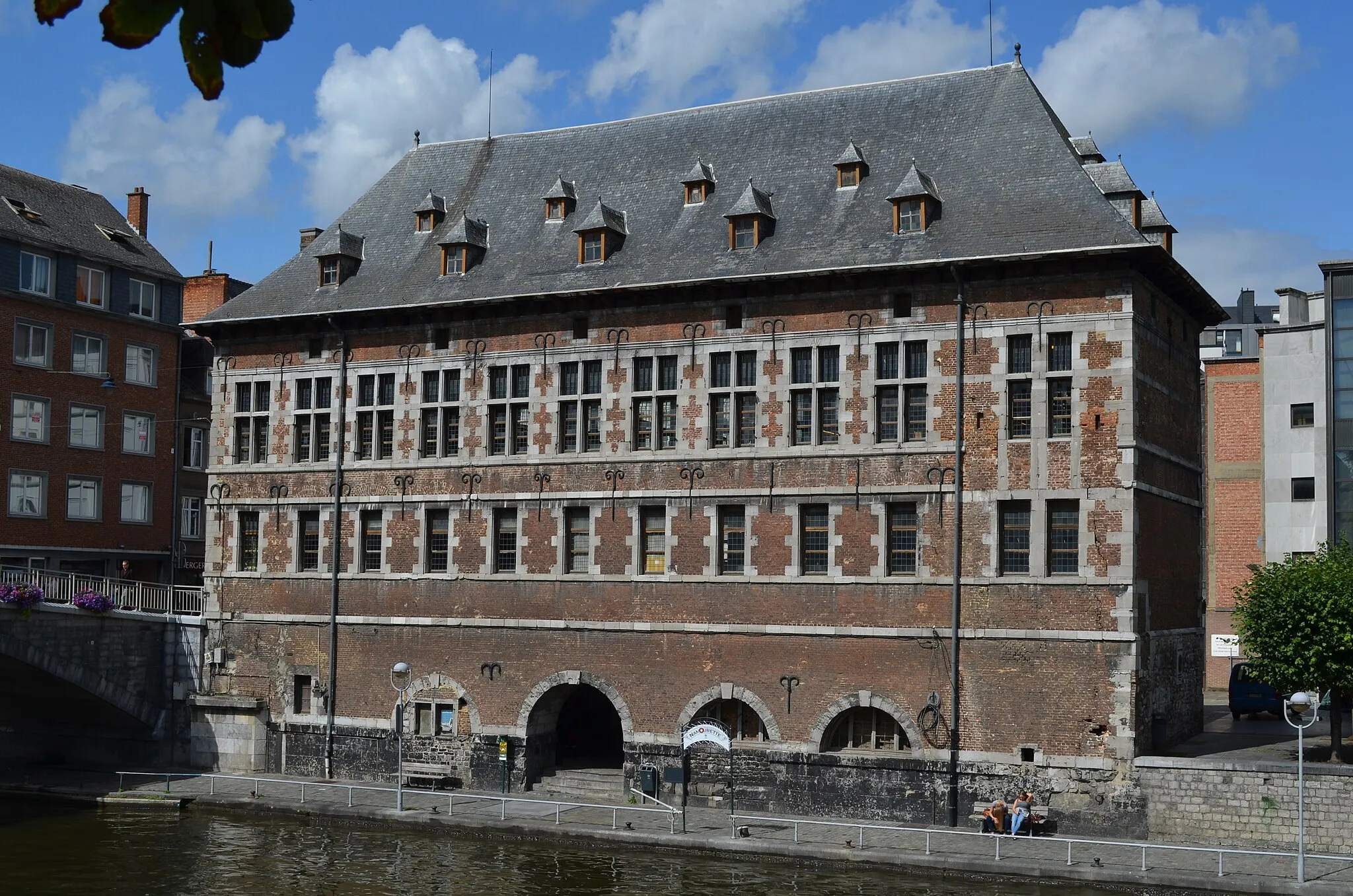
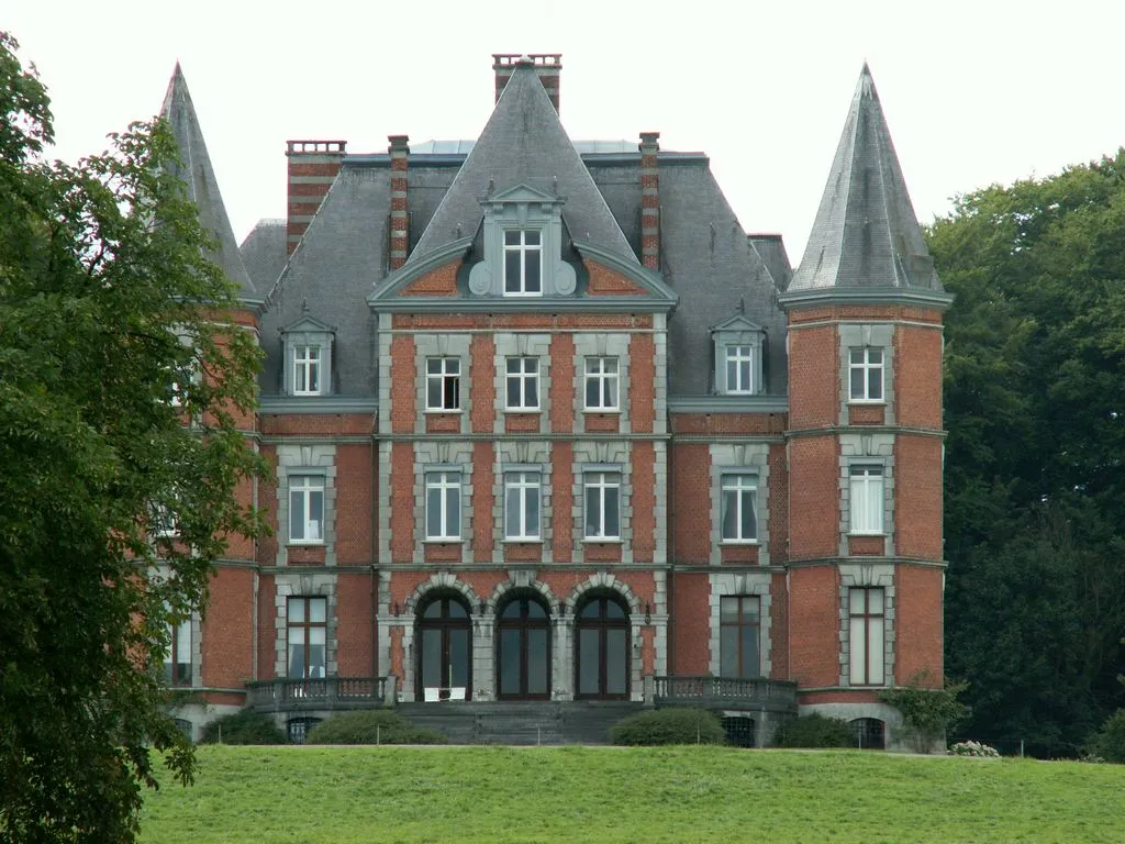
This diverse gravel route takes you through Écaussinnes-d'Enghien and Braine-le-Comte, two picturesque towns in Hainaut. With a total distance of 39 kilometers and an ascent of 316 meters, the route offers a moderate challenge. Along the way, you will pass scenic countryside landscapes and charming villages. The highlights of the route include Écaussinnes-d'Enghien with its historic castle and Braine-le-Comte with its charming town center.
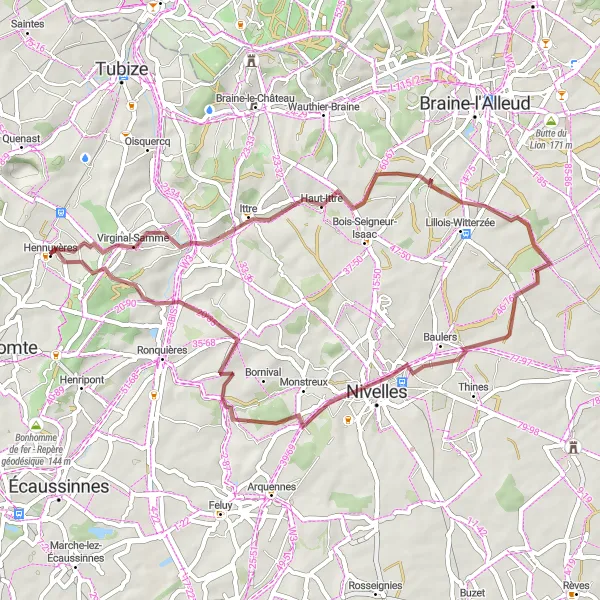
A gravel route exploring Haut-Ittre and Nivelles
This gravel route covers 46 kilometers with an ascent of 485 meters, offering a moderate challenge. The route takes you through Haut-Ittre and Nivelles, two charming towns known for their historic architecture and cultural heritage. Along the way, you will pass through scenic countryside landscapes and enjoy the tranquility of the rural surroundings.
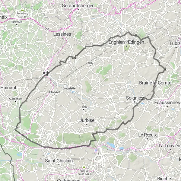
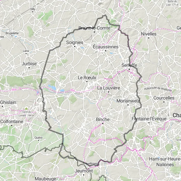
Embark on a 112-kilometer road cycling adventure from Hennuyères to Braine-le-Comte, Casteau, Hautrage, Quevaucamps, Ath, Sint-Pieters-Kapelle, and finish with a leisurely ride on the Petit train du bonheur.
Discover the diverse beauty of Hainaut province on this 112-kilometer road cycling route from Hennuyères to Braine-le-Comte, Casteau, Hautrage, Quevaucamps, Ath, Sint-Pieters-Kapelle, and ending with a leisurely ride on the Petit train du bonheur. With a difficulty level of 3, this route is suitable for intermediate cyclists. It includes an ascent of 548 meters and takes you through captivating landscapes, charming towns, and historic landmarks. Explore the medieval heritage of Braine-le-Comte, admire the stunning views from Casteau, and immerse yourself in the rich tradition and culture of Ath. Finish your journey with a unique experience on the Petit train du bonheur, a small train that offers scenic rides through picturesque countryside.
An epic road cycling route featuring Pont-à-Celles and Mont-Sainte-Aldegonde
This challenging road cycling route covers 84 kilometers with a total ascent of 868 meters. The route takes you through picturesque countryside landscapes and visits notable towns. Highlights of the route include Virginal-Samme, Pont-à-Celles, Mont-Sainte-Aldegonde, and Mignault. Along the way, cyclists will encounter steep climbs and fast descents, making it suitable for experienced riders.

Cycle from Hennuyères to iconic landmarks such as the Bonhomme de fer - Repère géodésique, Mignault, Terril Marie-José, Estinnes-au-Val, Havay, Quévy-le-Petit, Beffroi, Chaussée-Notre-Dame-Louvignies, and Steenkerque.
Embark on a cycling journey through historical landmarks and picturesque landscapes as you ride from Hennuyères to the Bonhomme de fer - Repère géodésique, Mignault, Terril Marie-José, Estinnes-au-Val, Havay, Quévy-le-Petit, Beffroi, Chaussée-Notre-Dame-Louvignies, and finally to Steenkerque. With a difficulty level of 4, this 103-kilometer road route is recommended for well-trained amateur cyclists. The route features an ascent of 621 meters and offers stunning views of the region's natural beauty and historical architecture. Pedal through charming villages, admire centuries-old landmarks, and delight in the picturesque countryside of Hainaut province. Finish your journey at the iconic Steenkerque, known for its rich history and beautiful medieval architecture.
Cycle through the picturesque towns of Hennuyères, Monstreux, Godarville, and Haine-Saint-Paul, and enjoy the beautiful scenery of Terril Sainte-Marie and Mignault before reaching the Bonhomme de fer - Repère géodésique.
Experience the charming towns and breathtaking landscapes of Hainaut province as you cycle from Hennuyères to Monstreux, Godarville, Haine-Saint-Paul, Terril Sainte-Marie, Mignault, and finally to the Bonhomme de fer - Repère géodésique. With a moderate difficulty level, this route is suitable for well-trained amateur cyclists. It covers a distance of 69 kilometers and includes an ascent of 651 meters. The route offers a mix of beautiful countryside views, historical attractions, and cultural highlights. Cyclists will also pass through several quaint villages, allowing them to immerse themselves in the local culture and tradition.
Cycling routes nearby:

Nearby regions: