Cycling challenges in Saint-Sauveur
Cycling routes from Saint-Sauveur
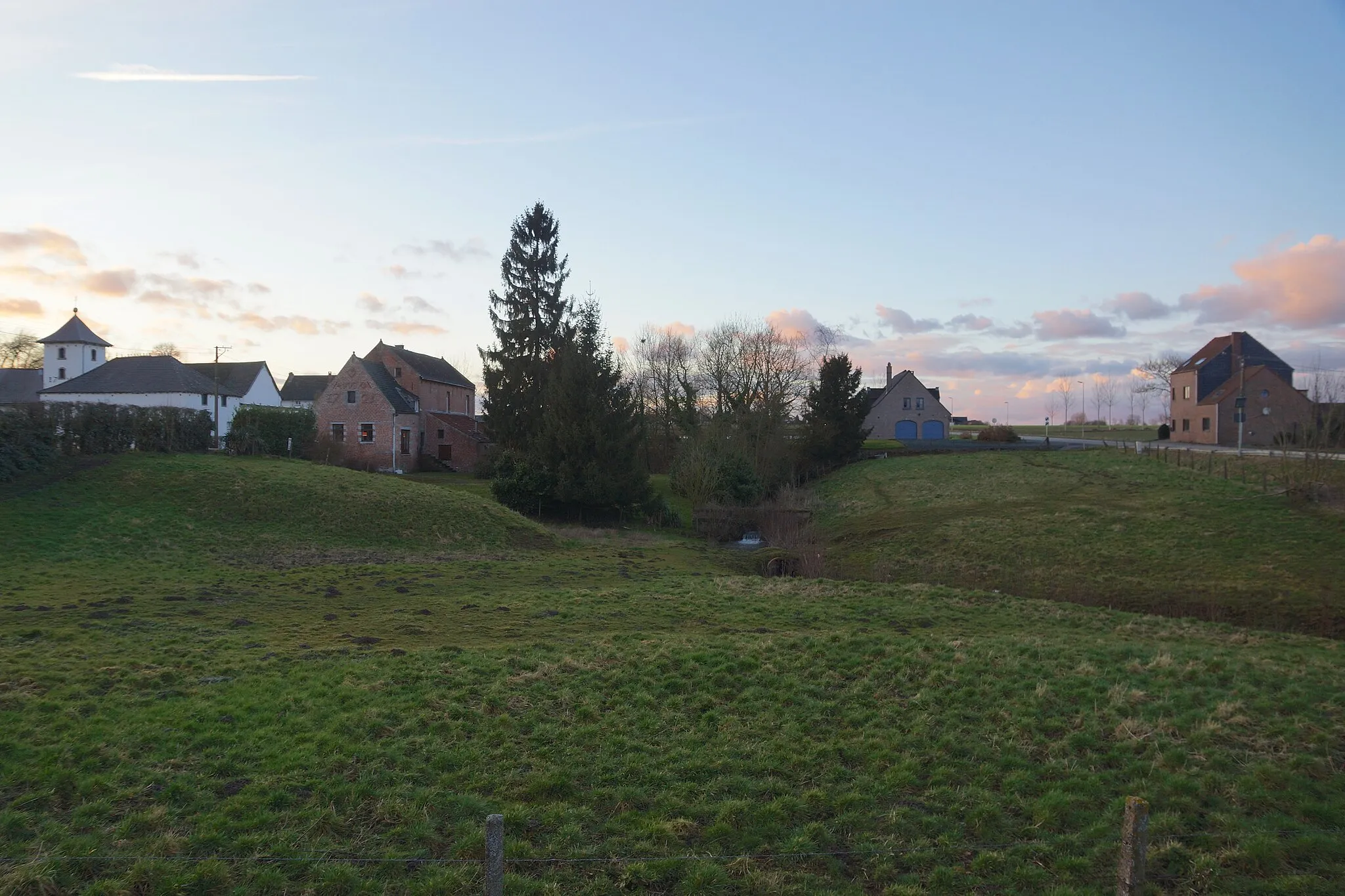
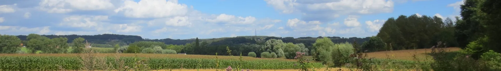
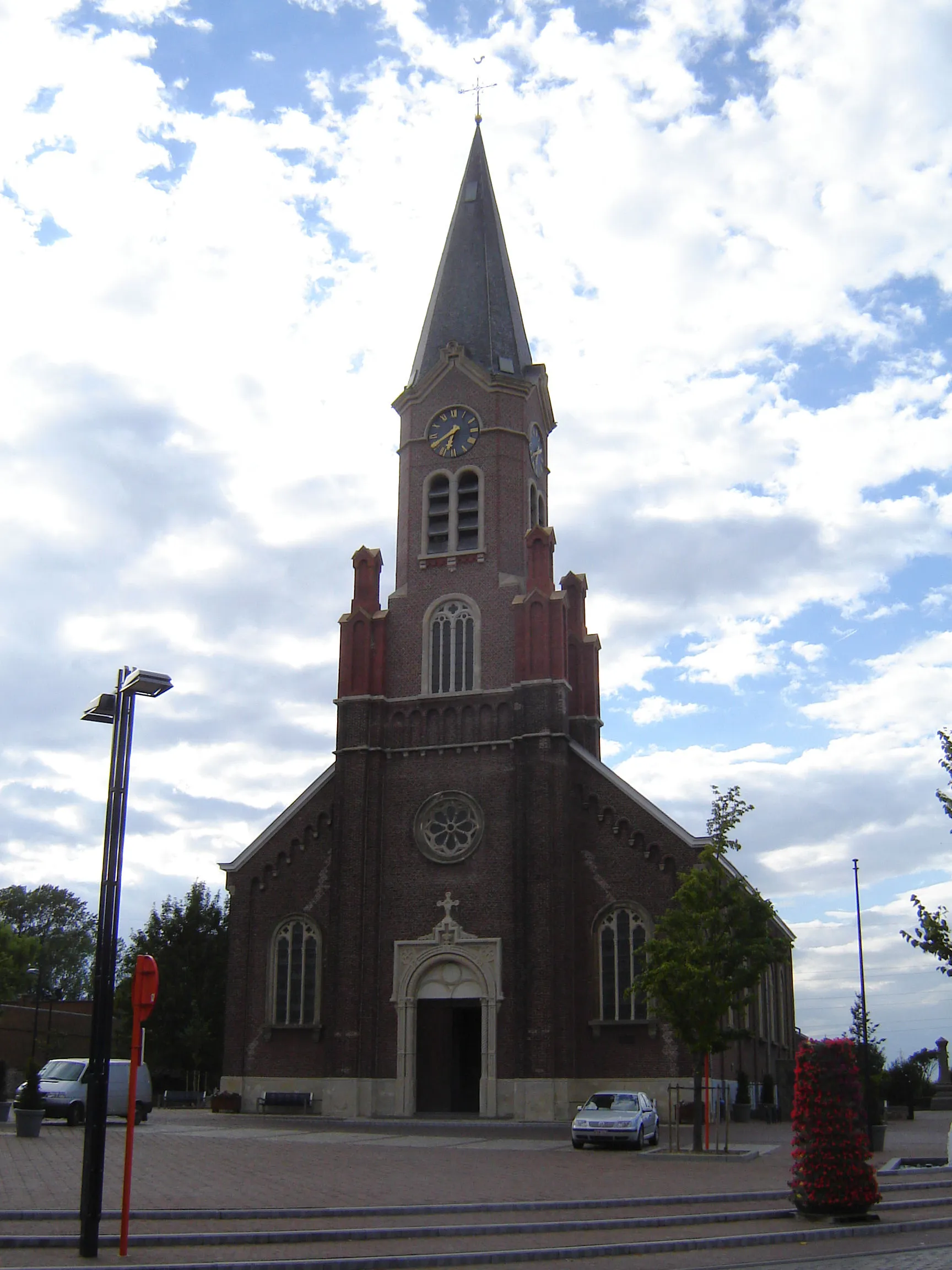
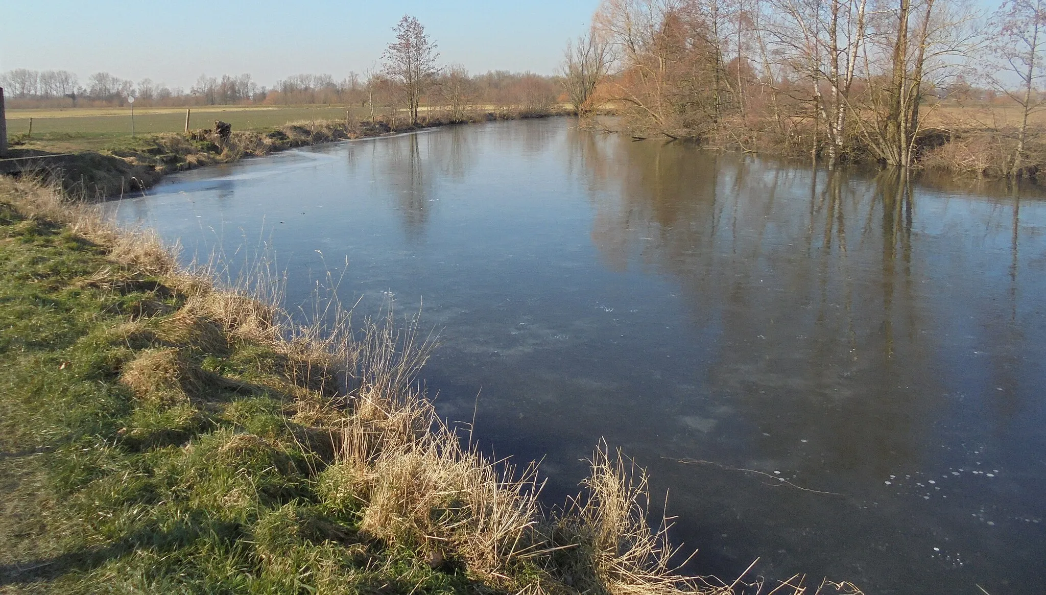
Saint-Sauveur is a locality in the Prov. Hainaut region of Belgium. From a cyclist's perspective, Saint-Sauveur offers challenging climbs and quiet country roads, perfect for road and gravel cycling. The area is known for its hilly terrain, providing opportunities for cyclists to test their climbing skills. One of the famous cycling climbs nearby is the ascent to Mont Saint-Sauveur, a popular route among local cyclists. With its picturesque landscapes and cycling challenges, Saint-Sauveur is a great destination for cyclists looking for a mix of beauty and excitement.
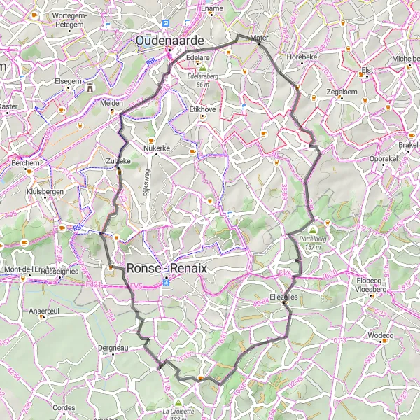
Experience the famous cobbled climbs and iconic landmarks of this road cycling route
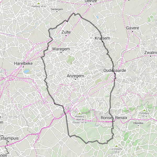
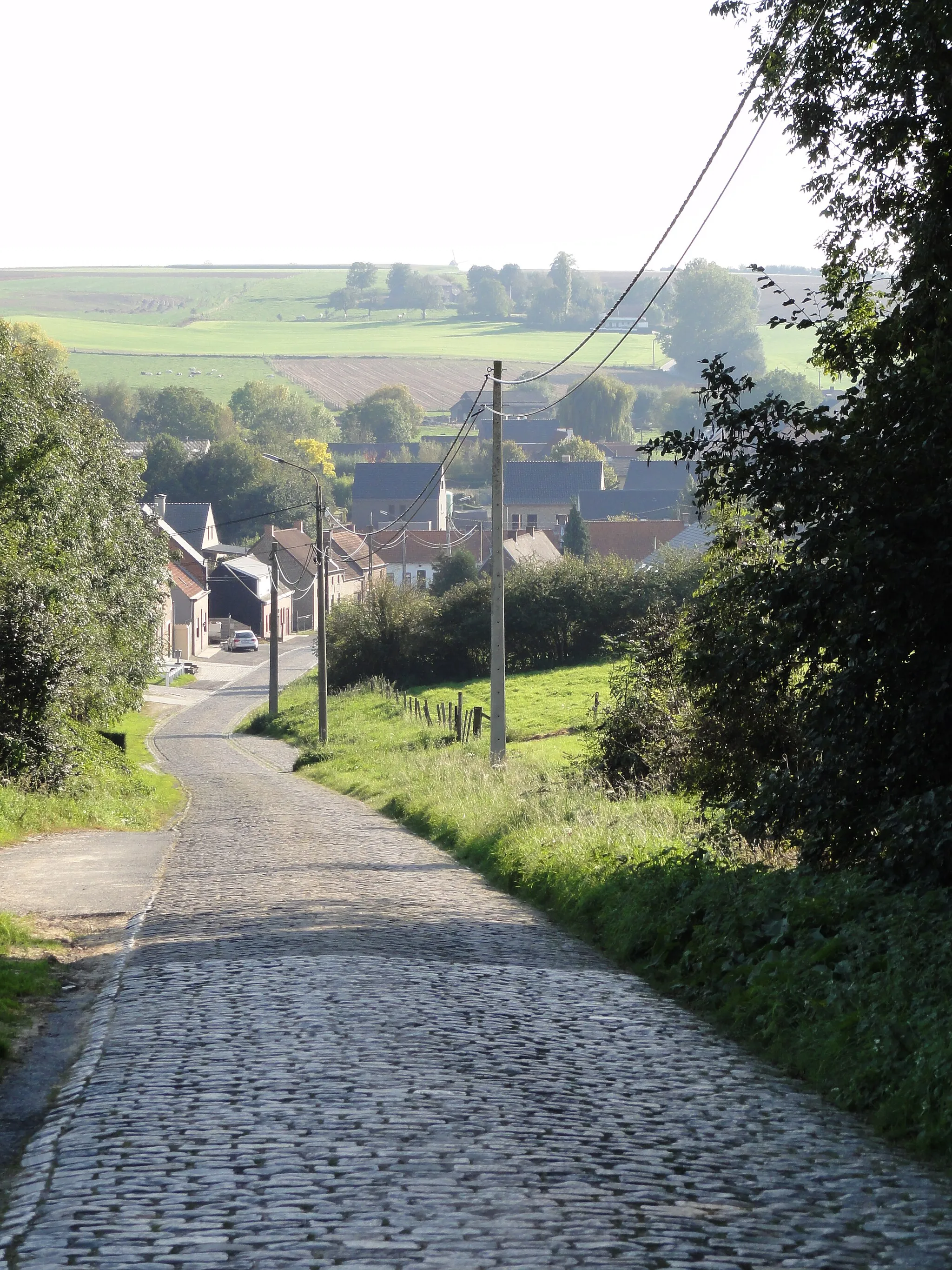
This road cycling route is ideal for those seeking a challenging ride with iconic climbs and historic landmarks. Starting from Zulzeke, you'll tackle the Koppenberg, Wolvenberg, and Steenbeekberg, before making your way to Saint-Sauveur. The route has a total ascent of 534 meters and covers a distance of 50 kilometers. Along the way, you'll pass through Mater and Ellezelles, where you can take in the beautiful landscapes and admire the traditional architecture.
The Gravel Adventure
Feel the thrill of gravel biking
Embark on a thrilling gravel biking adventure near Saint-Sauveur and experience the excitement of off-road cycling. This route covers a distance of 90 kilometers with a total ascent of 446 meters.
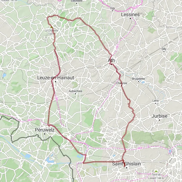
Discover hidden gems and breathtaking landscapes on this gravel cycling route
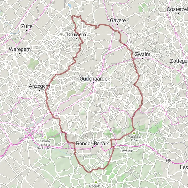
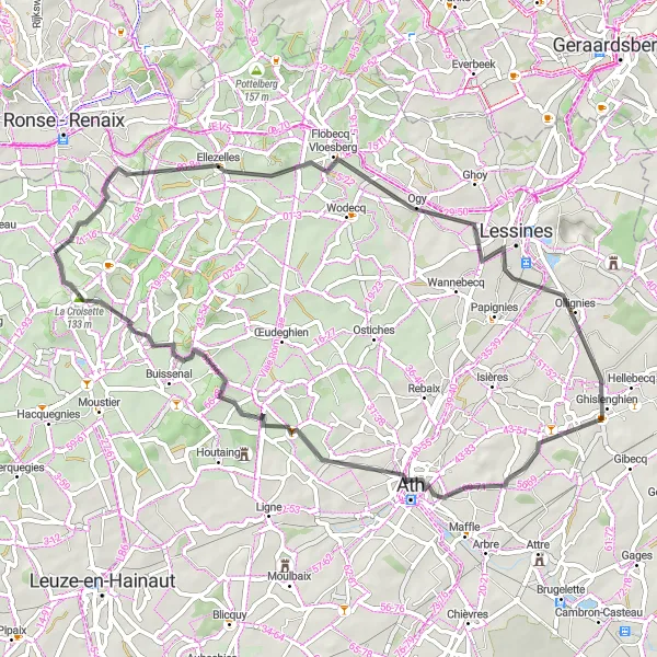
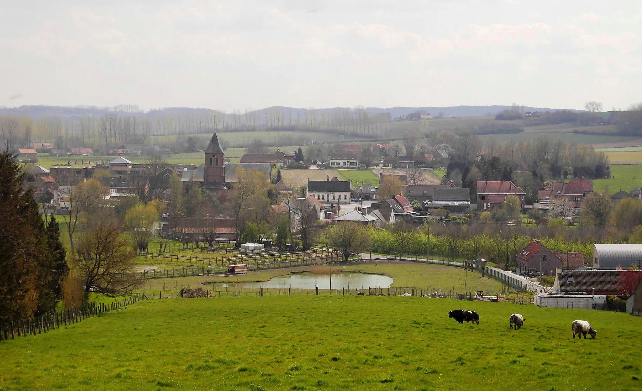
Uncover the hidden gems of the Hainaut region and enjoy the breathtaking landscapes on this gravel cycling route. Starting from Ellezelles, you'll pass through Lessines, Carrières Unies de Porphyre (CUP), Mévergnies-lez-Lens, Villers-Saint-Amand, Buissenal, and finally reach Saint-Sauveur. With a total distance of 71 kilometers and an ascent of 545 meters, this route offers a thrilling and varied gravel riding experience. Throughout the journey, you'll encounter picturesque villages, historical landmarks, and stunning views of the countryside.
Enjoy the scenic beauty of Saint-Sauveur
Discover the natural beauty of Saint-Sauveur and its surrounding areas on this 36-kilometer road cycling route. With a moderate ascent of 244 meters, you'll have the opportunity to explore charming villages and picturesque landscapes.
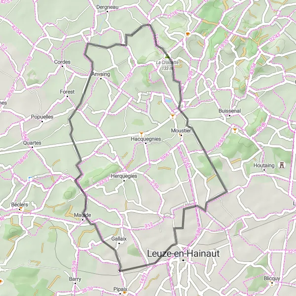
Explore the beautiful countryside and charming villages on this scenic road cycling route
This road cycling route takes you through picturesque landscapes, small villages, and rolling hills. You'll experience the peacefulness of the Hainaut region as you ride from Escanaffles to Saint-Sauveur and back. The route offers a moderate challenge with some uphill sections and a total ascent of 352 meters. Along the way, you'll pass through Sint-Eloois-Vijve, Machelen, Leupegem, Kortekeer, and Saint-Sauveur.
Pottelberg to Saint-Sauveur Loop
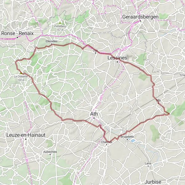
Enjoy a gravel adventure through rolling hills and scenic landscapes
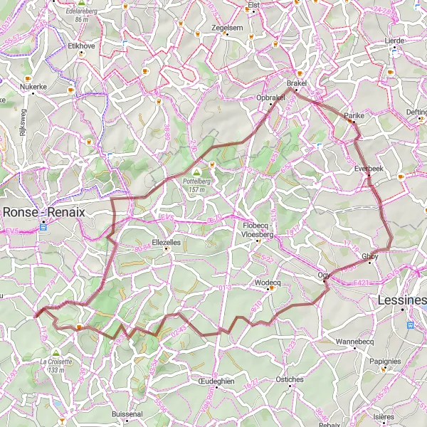
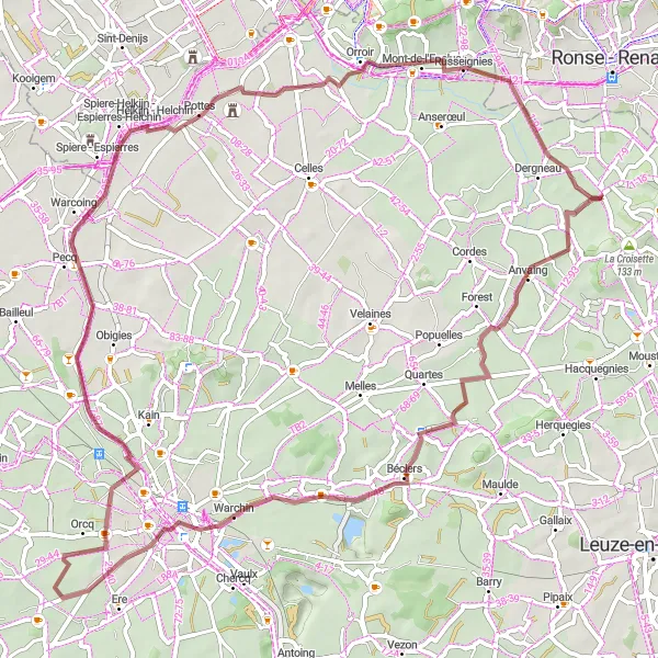
Embark on a gravel cycling adventure through the rolling hills and picturesque landscapes of Hainaut. Starting from Pottelberg, you'll traverse the Parikeberg, Everbeek, Ogy, and Lahamaide before reaching Saint-Sauveur. The route covers a distance of 50 kilometers with an ascent of 579 meters, providing a moderate to challenging experience for gravel enthusiasts. Along the way, you'll be mesmerized by the beautiful countryside scenery, charming villages, and quiet gravel roads.
Conquer the gravel challenge
Take on the challenge of gravel cycling near Saint-Sauveur on this 79-kilometer route. With a demanding ascent of 552 meters, this route is perfect for experienced riders looking for an exciting adventure.
Road to Exploration
Discover the beauty of the road less traveled
Embark on a road cycling journey near Saint-Sauveur and immerse yourself in the beauty of the lesser-known routes. This 56-kilometer route includes a challenging ascent of 457 meters.
Thimougies to Saint-Sauveur Loop
Embark on a gravel adventure through scenic countryside and historic landmarks
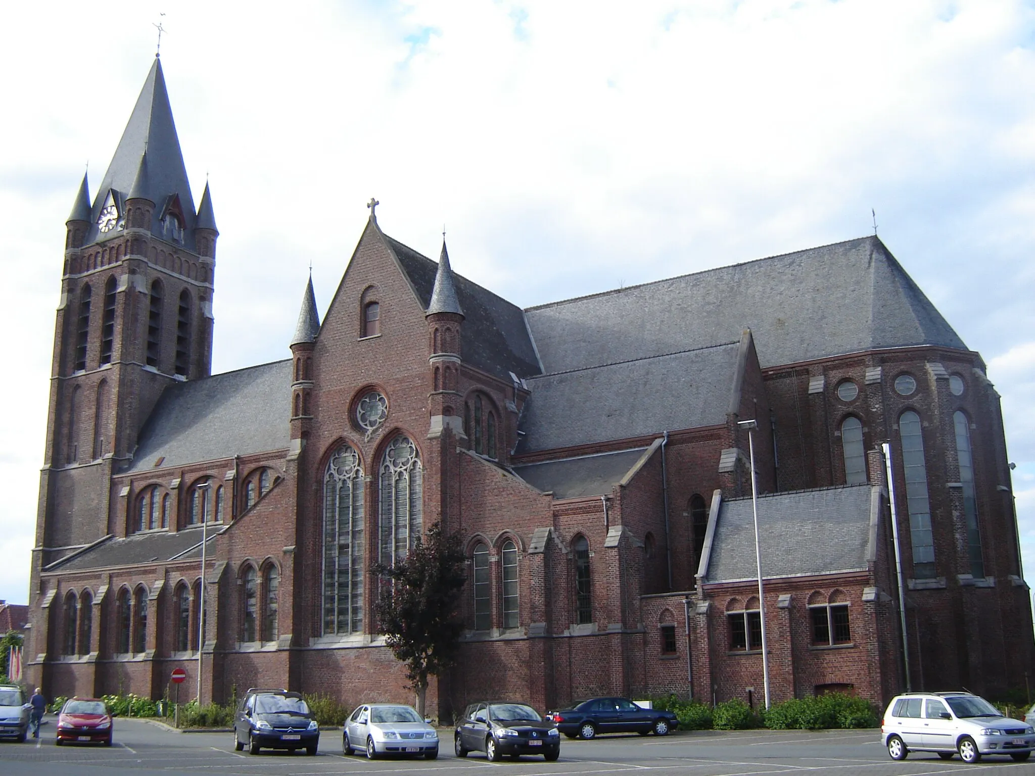
This gravel cycling route offers a mix of beautiful countryside, historic landmarks, and peaceful gravel roads. Starting from Thimougies, you'll pass through Beffroi de Tournai, Esquelmes, Pottes, and Russeignies before reaching Saint-Sauveur. The route covers a distance of 68 kilometers with an ascent of 217 meters. Along the way, you'll have the opportunity to admire the stunning views, explore historic sites, and immerse yourself in the tranquil atmosphere of the Hainaut region.
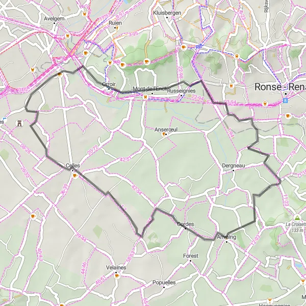
Uncover the hidden gems of Saint-Sauveur
Discover the lesser-known treasures of Saint-Sauveur and its surrounding areas on this 38-kilometer road cycling route. With a gentle ascent of 154 meters, this route is suitable for cyclists of all levels.
Cycling routes nearby:


Nearby regions: