Explore the picturesque countryside and tackle the challenging climbs of Stavelot and Côte de la Vecquée in Grivegnée.
Cycling routes from Grivegnee
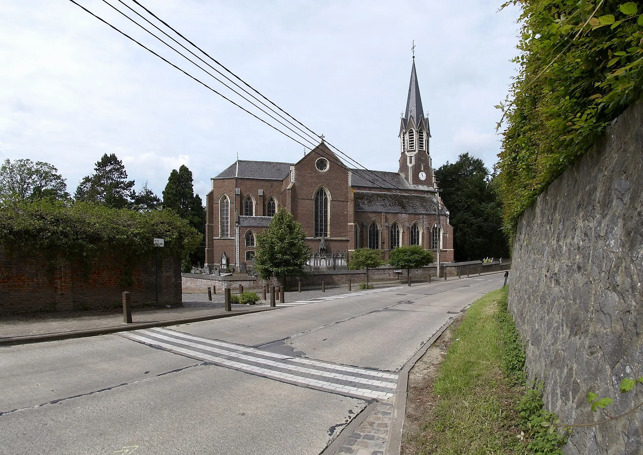
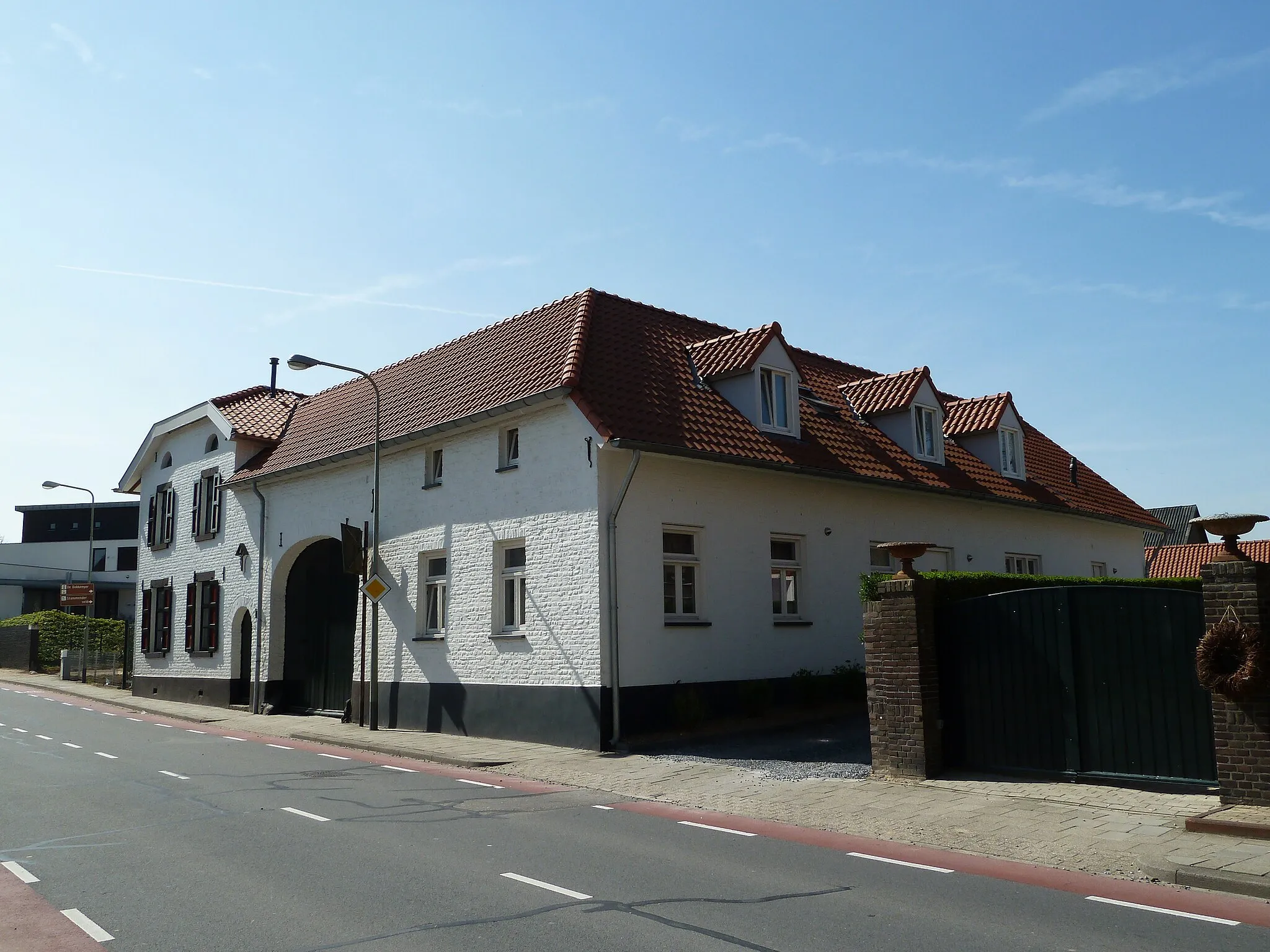
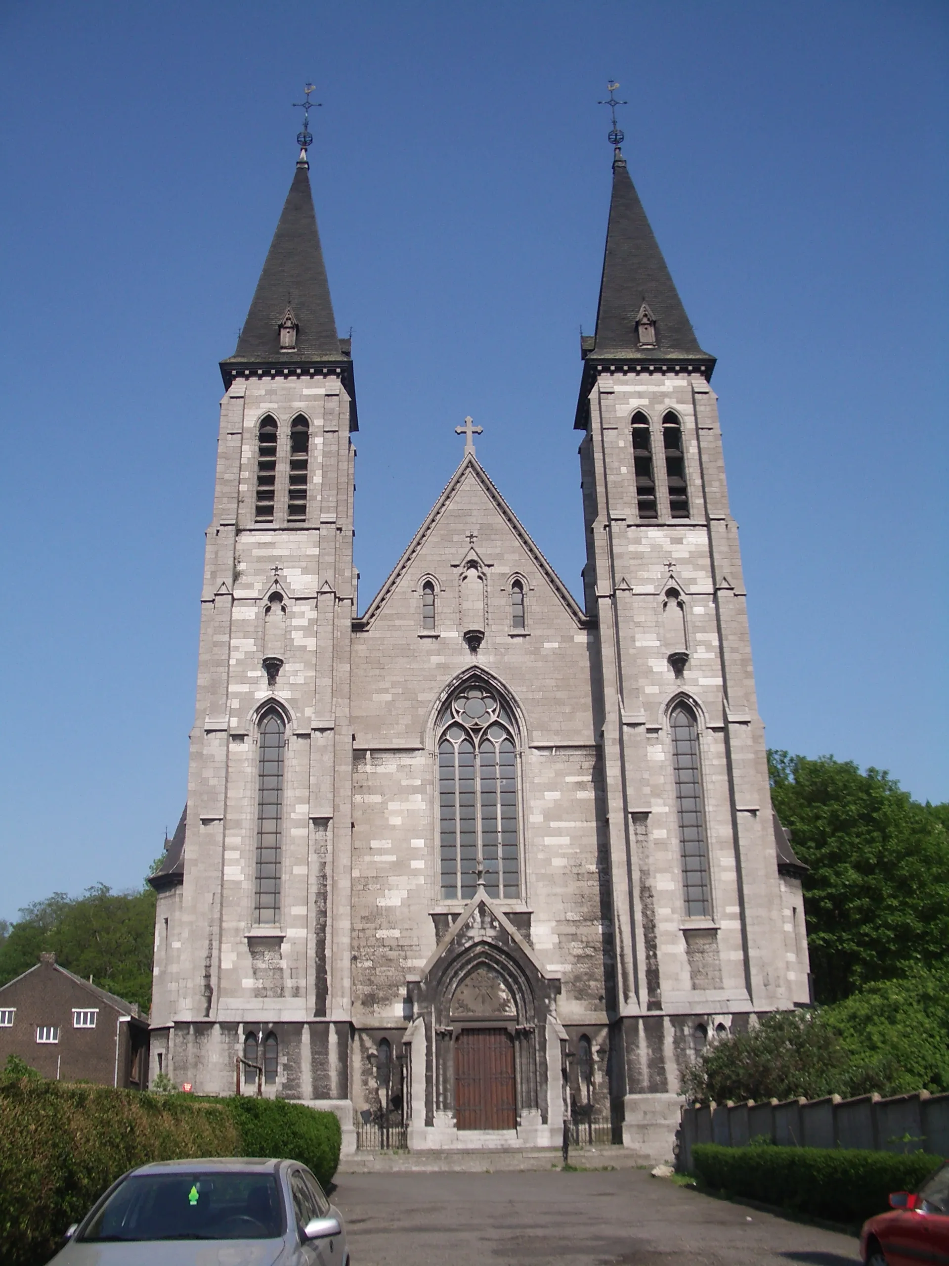
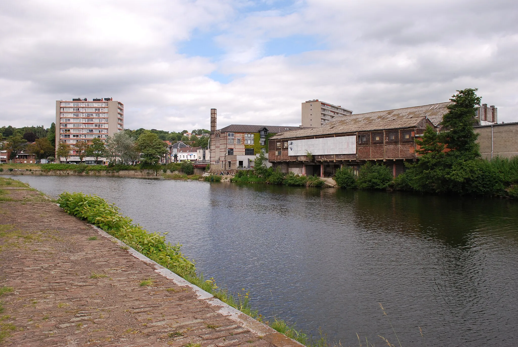
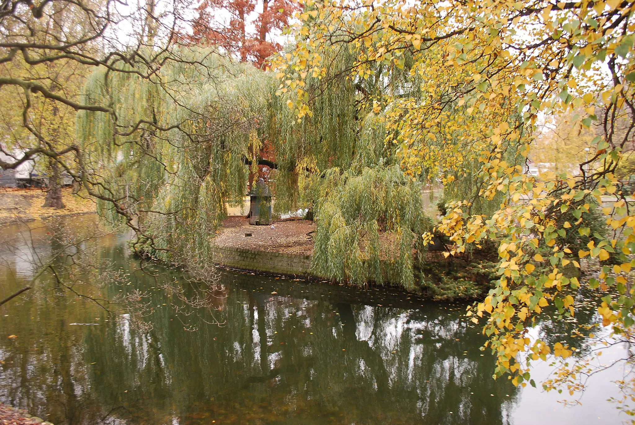
Grivegnée is a locality located in Prov. Liège, Belgium. From a cyclist's perspective, Grivegnée offers a mix of flat and hilly terrain, suitable for both road and gravel cycling. The region provides picturesque views and quiet country roads, inviting cyclists to explore its natural beauty. Not far from Grivegnée, cyclists can find well-known climbs such as Stavelot and Côte de la Vecquée. With its diverse terrain and popular cycling routes, Grivegnée is a fantastic destination for cyclists of all skill levels.
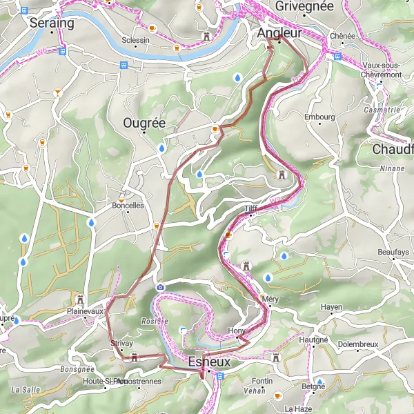
Escape to the countryside with this scenic gravel route starting from Angleur.
This gravel route starting from Angleur takes cyclists through picturesque countryside surroundings. With a total distance of 29 kilometers and an ascent of 297 meters, this route offers a moderate level of difficulty for gravel bikes. Along the way, you'll encounter several highlights, including the Château de Strivay and Roche aux Faucons. These spots offer historical sites and stunning natural formations to admire.
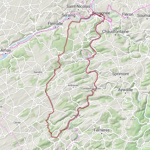
Gravel Adventure to Chênée
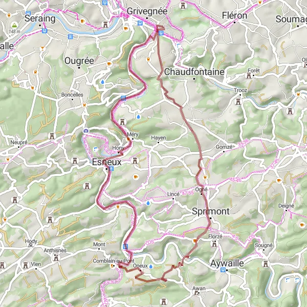
Explore the rural beauty on a gravel adventure to Chênée
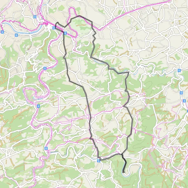
Experience a thrilling gravel cycling journey from Grivegnée to Chênée spanning 52 kilometers. This scenic route takes you through a variety of terrains and landscapes, perfect for adventurous cyclists. Highlights include the majestic Château de Lavaux and the tranquil countryside of Chambralles. With 621 meters of ascent, this route provides a moderate challenge for gravel enthusiasts.
Chokier Road Adventure
Embark on a scenic road adventure from Grivegnée to Chokier.
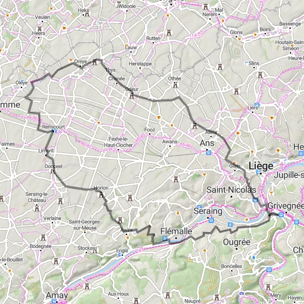
This road route starting from Grivegnée takes cyclists on a scenic adventure through the countryside. With a total distance of 72 kilometers and an ascent of 502 meters, this route offers a moderate level of difficulty for road bikes. Along the way, you'll encounter several highlights, including Chokier, Remicourt, and Château-Ferme de Hombroux. These spots offer historical landmarks and beautiful landscapes to explore and enjoy.
Grivegnée to Angleur Loop
Explore the scenic countryside from Grivegnée to Angleur.
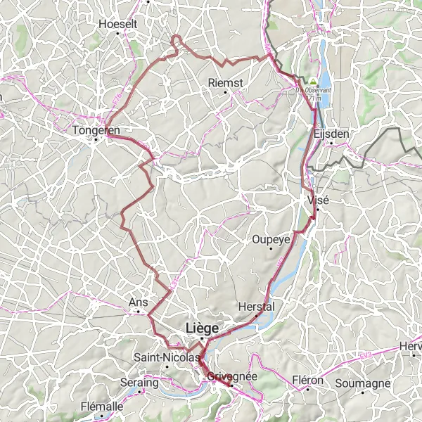
This round-trip cycling route starting near Grivegnée takes you through beautiful countryside and charming villages. The route is suitable for both road and gravel bikes, offering a variety of terrain for an enjoyable cycling experience. With a total distance of 54 kilometers and an ascent of 786 meters, this route provides a good challenge for well-trained amateur cyclists. Along the way, you'll encounter several highlights, including the Belvédère Rahir, Remouchamps, and Angleur. These spots offer picturesque views and historical sites to explore.
Embrace the challenge of conquering Cheratte and Scherpenberg
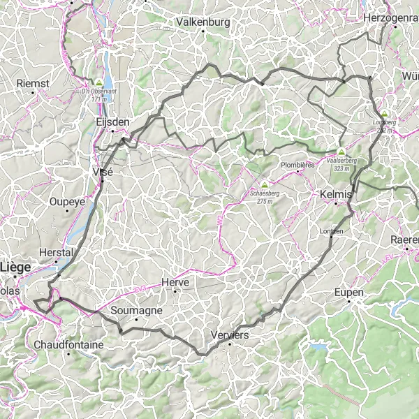
Embark on a thrilling 111-kilometer road cycling adventure starting from Grivegnée. This route features notable climbs such as Cheratte and Scherpenberg, perfect for cyclists seeking a moderately challenging ride. Pass through picturesque villages like Gulperberg, Eyserhalte, and Lontzen while enjoying the beautiful Belgian countryside. The total ascent for this route is 1141 meters, providing a rewarding challenge for well-trained amateur cyclists.
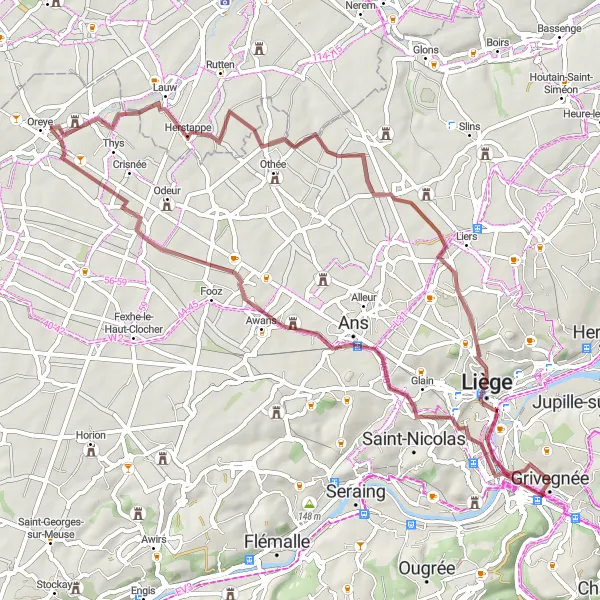
Gravel Excursion to Cannerberg
Discover the natural beauty en route to Cannerberg
Embark on an exciting 84-kilometer gravel cycling adventure starting from Grivegnée. This route offers a mix of gravel paths and beautiful landscapes, suitable for cyclists looking for a moderate challenge. Highlights along the way include the Point de vue du Serpentin de l'A602, the charming village of Weert, and the historic Cannerberg fortress. With 490 meters of ascent, this route rewards riders with scenic views and cultural exploration.
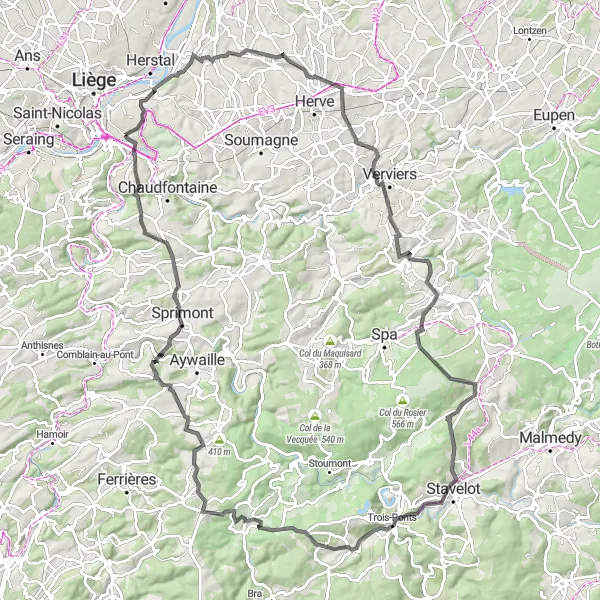
Experience the thrill of conquering the Col de la Haute Levée
Embark on a challenging cycling journey from Grivegnée and ascend through scenic landscapes. This route will take you to the famous Col de la Haute Levée, a legendary climb loved by cyclists worldwide. Along the way, you'll pass through picturesque villages like Barchon, Battice, and Nivezé. The overall distance is 117 kilometers with a total ascent of 1972 meters.
Grivegnée-Gravel Route
Experience the beauty and challenge of gravel cycling near Grivegnée
This distinctive gravel route near Grivegnée offers a thrilling adventure for avid cyclists. With a total ascent of 399 meters and a distance of 57 kilometers, the route promises a mix of challenging climbs and scenic landscapes. Whether you're a seasoned cyclist or an amateur looking for a thrilling challenge, this route is sure to provide an unforgettable experience.
Embark on an epic gravel expedition from Grivegnée to Lavaux.
This gravel route starting from Grivegnée offers an epic adventure through beautiful countryside and historic landmarks. With a total distance of 84 kilometers and an ascent of 850 meters, this route provides a challenging experience for gravel bike enthusiasts. Along the way, you'll encounter several highlights, including Château de Lavaux, Rivage, and Rocher de Coisse. These spots offer iconic landmarks and breathtaking scenery to admire.
Serpentine Scenery Loop
Marvel at the stunning views along the Serpentin de l'A602
Discover the scenic beauty of the Serpentin de l'A602 on this 147-kilometer road cycling route. Starting in Grivegnée, you'll embark on a thrilling adventure through enchanting landscapes. The route has a total ascent of 669 meters, making it suitable for well-trained amateur cyclists looking for a moderate challenge. Highlights include the Point de vue du Serpentin de l'A602, Zonhoven, and the Uitkijktoren As.
Cycling routes nearby:


Nearby regions: