Experience the beauty of nature while cycling through picturesque landscapes in Sint-Lievens-Houtem.
Cycling routes from Sint-Lievens-Houtem
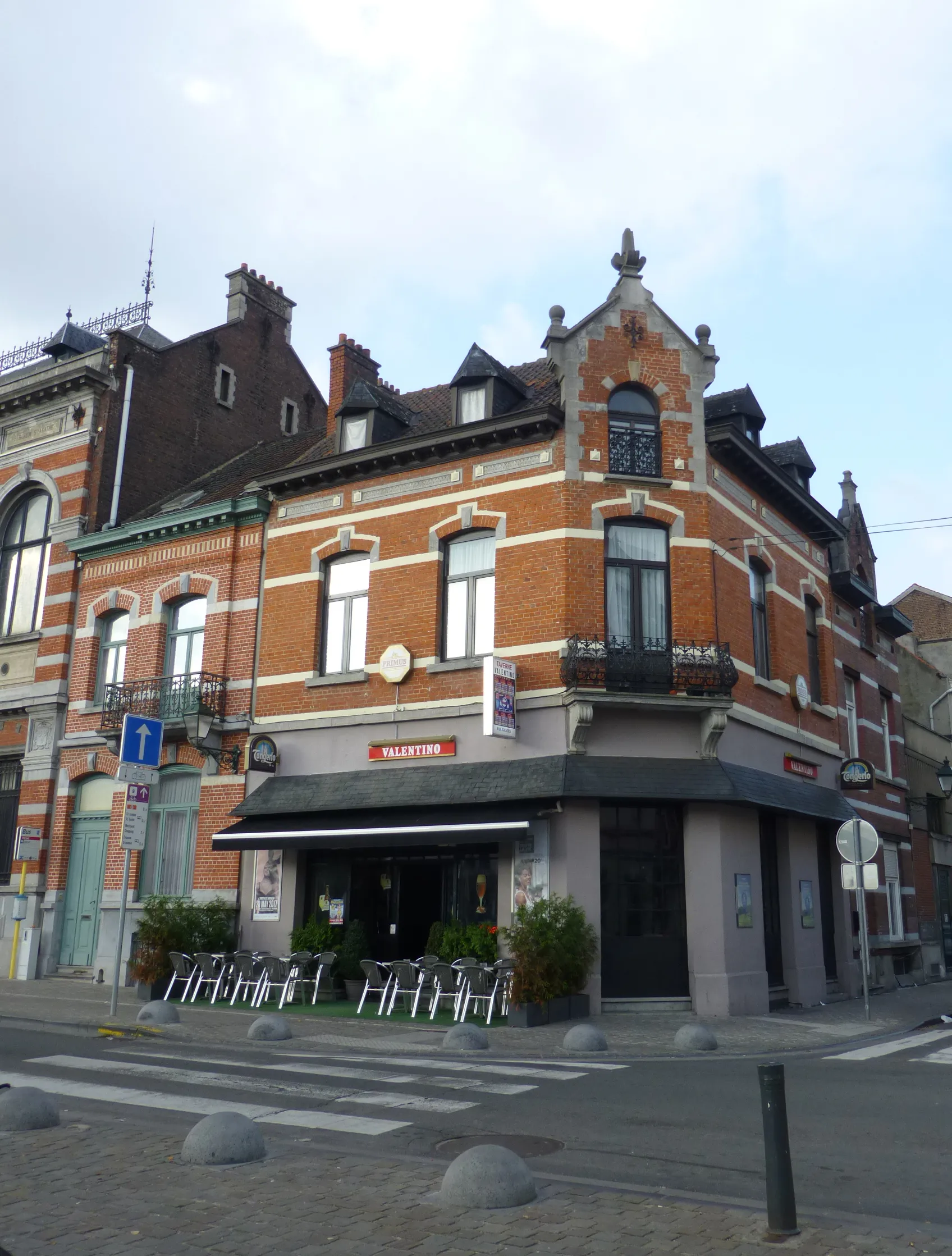
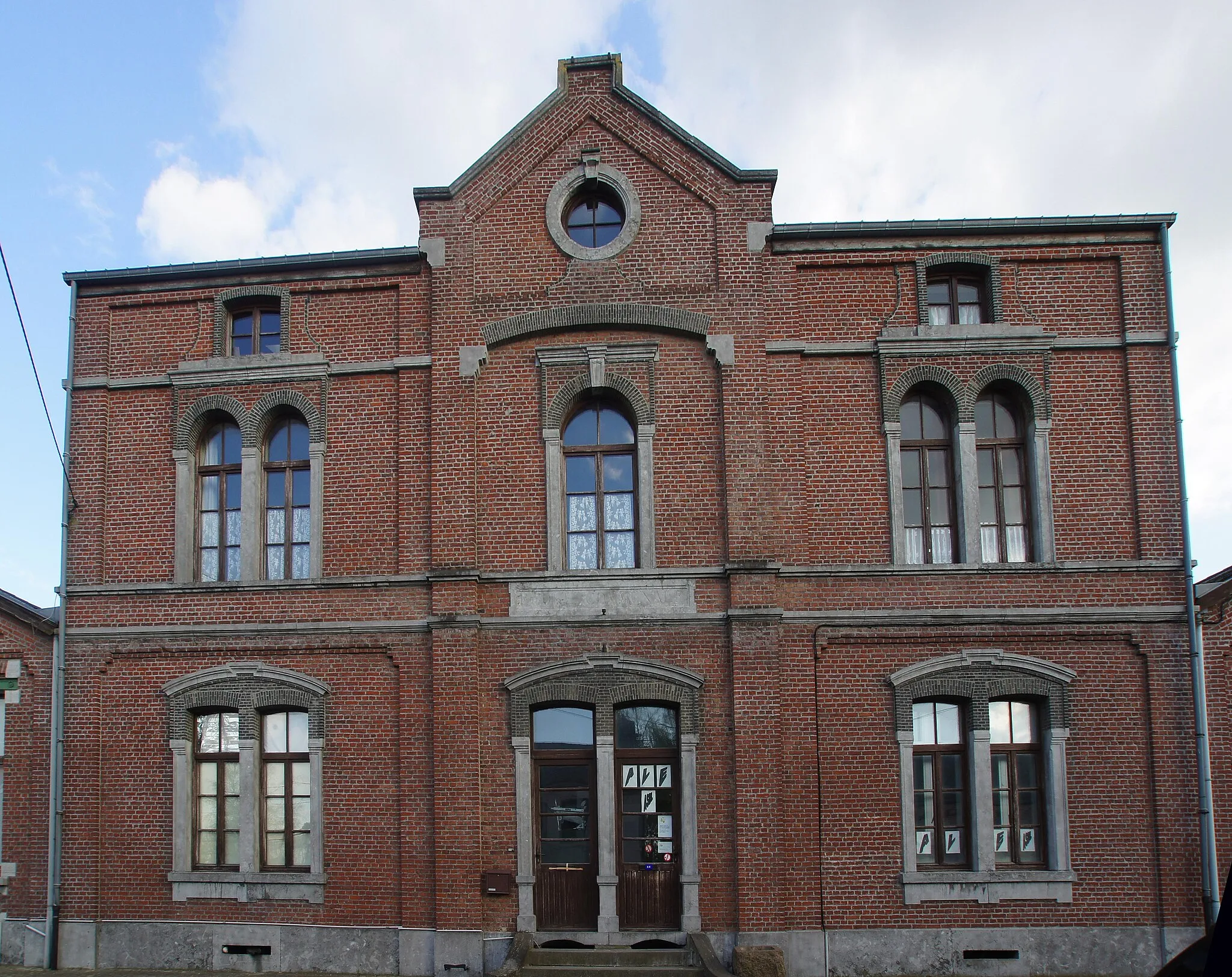
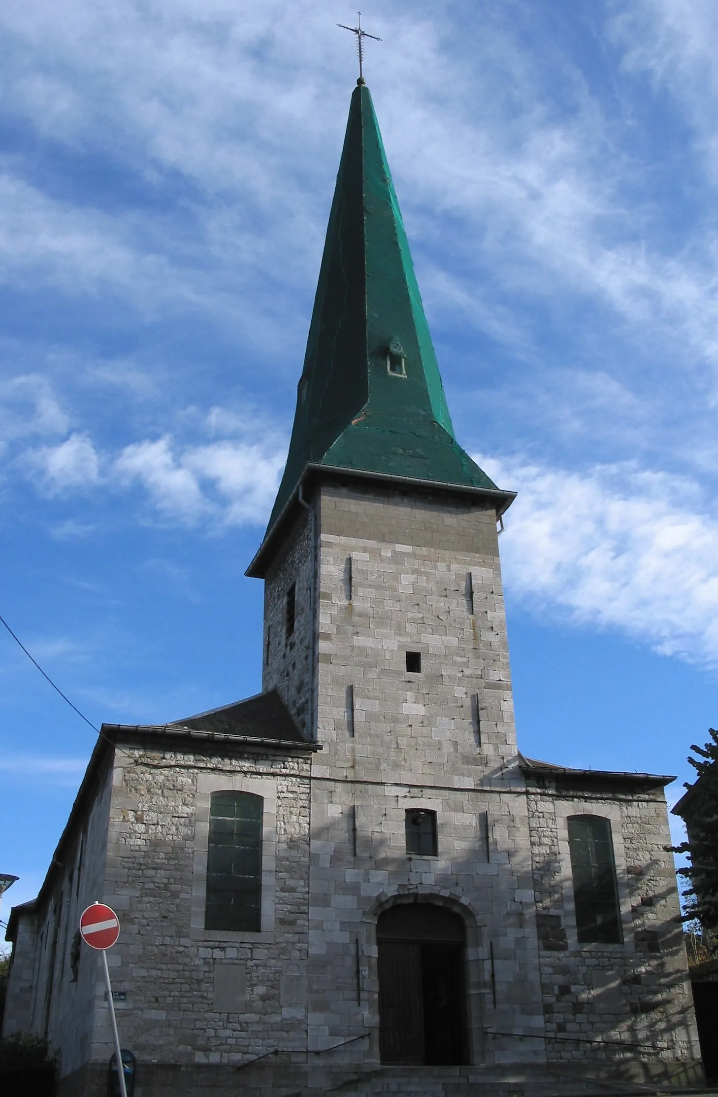
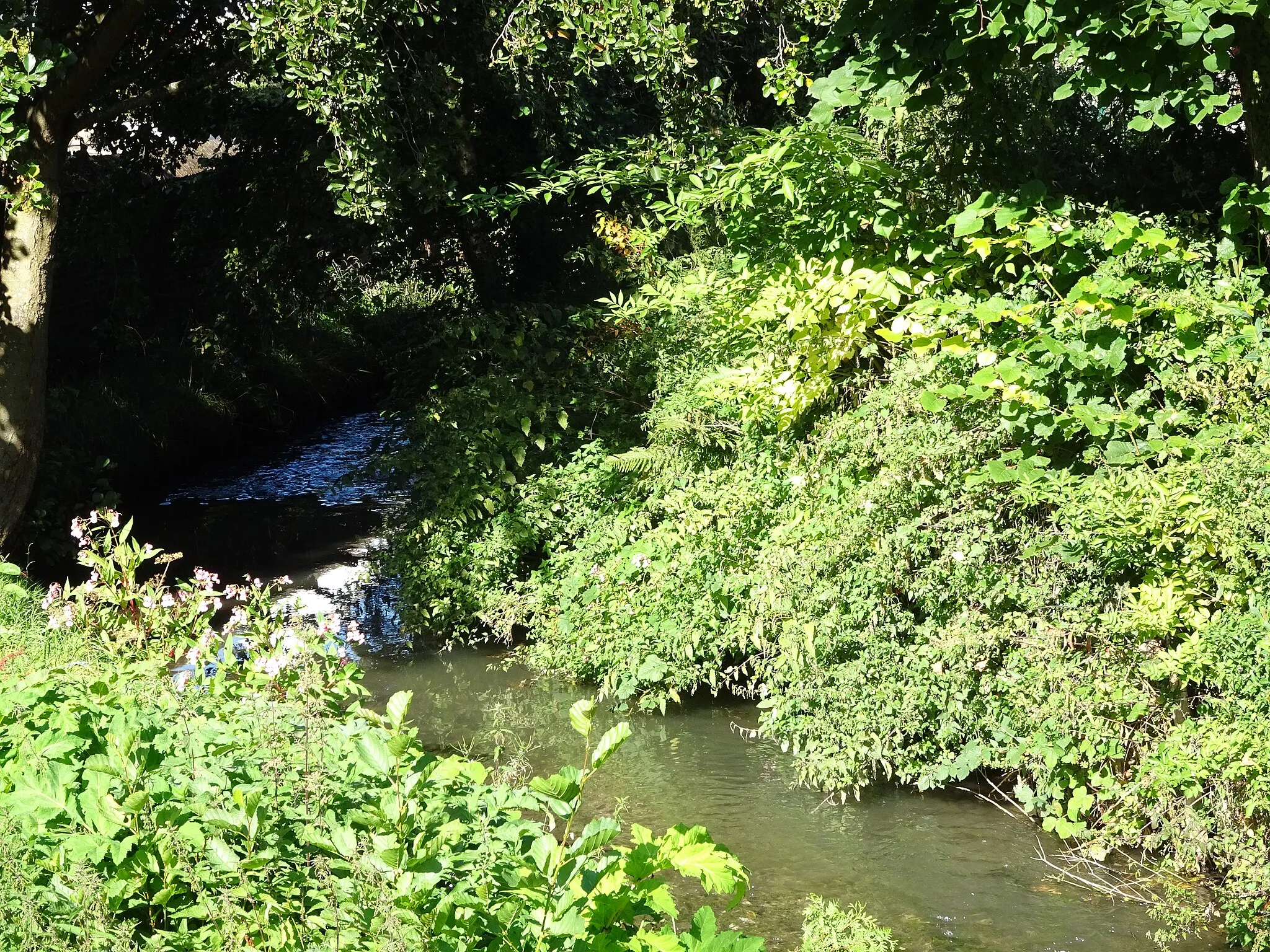
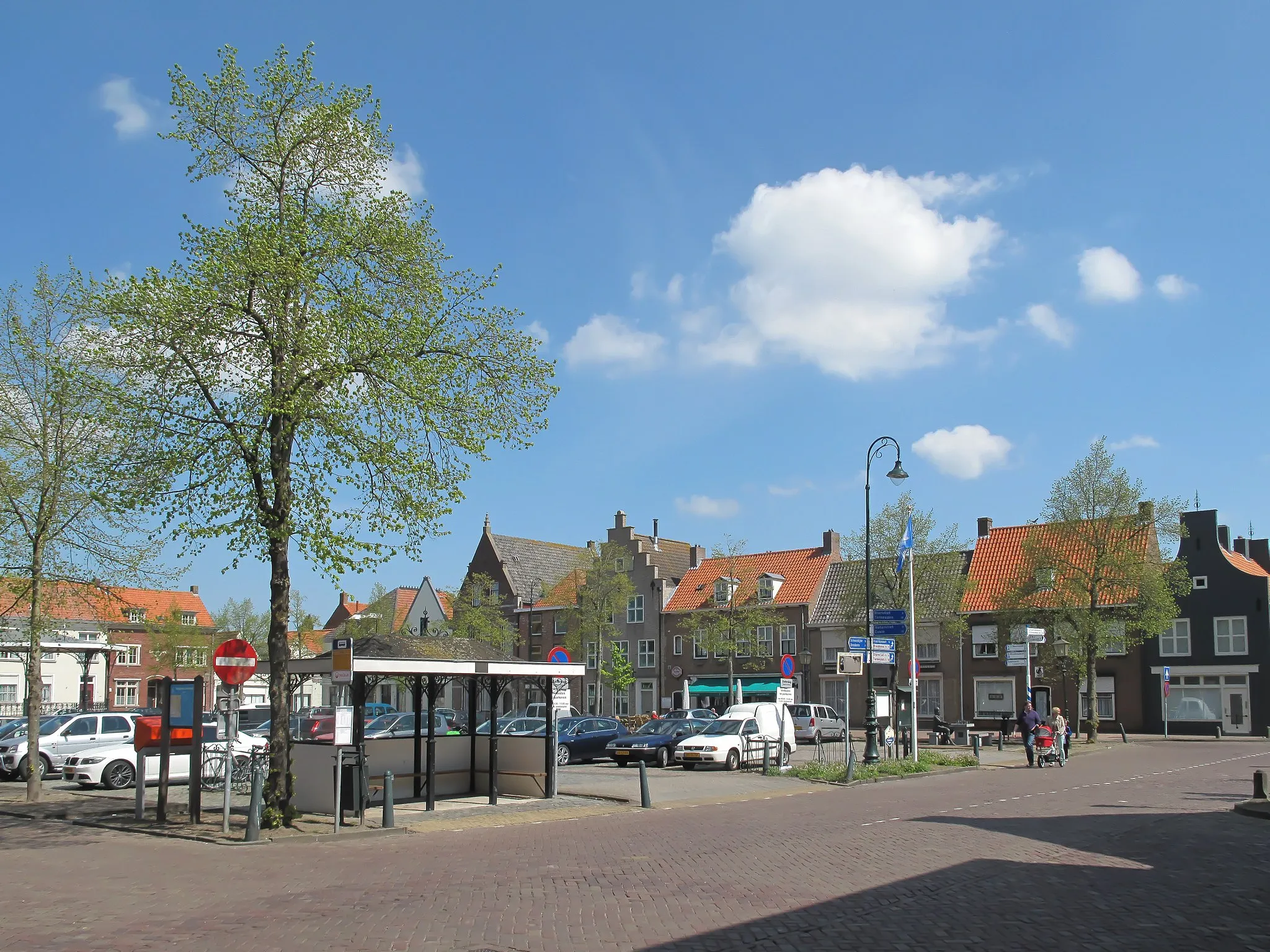
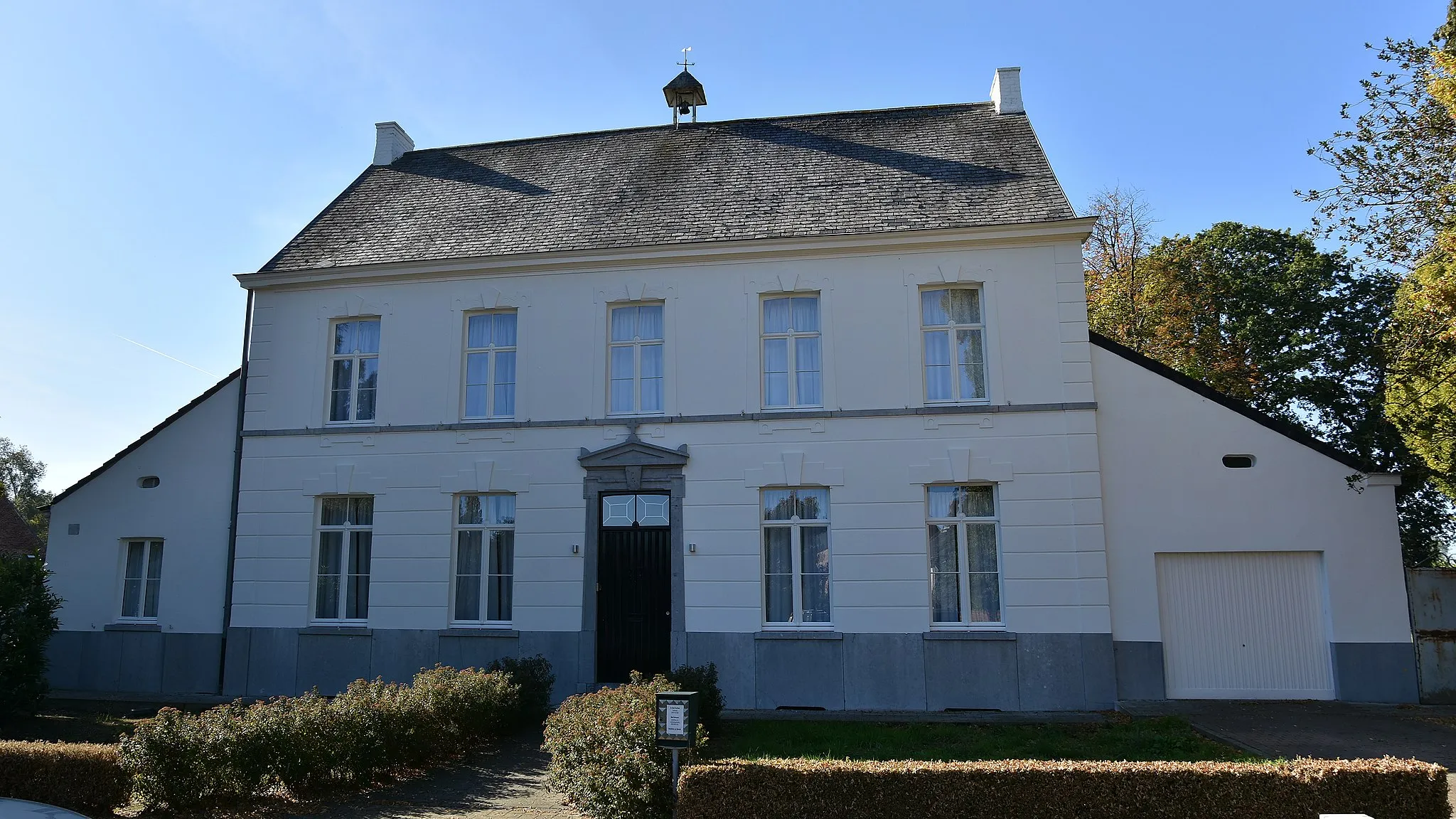
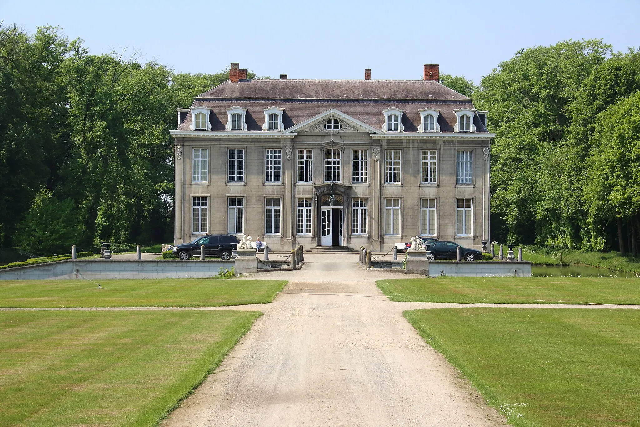
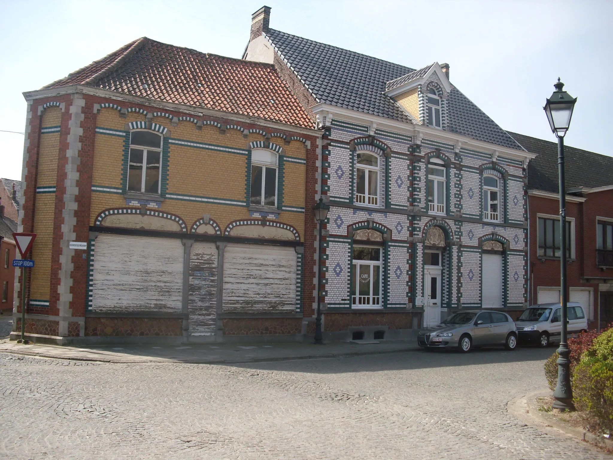
Sint-Lievens-Houtem, located in Prov. Oost-Vlaanderen, Belgium, is a suitable locality for road and gravel cycling. The town offers a variety of cycling routes that pass through scenic landscapes, allowing cyclists to enjoy nature at its finest. Sint-Lievens-Houtem's roads are generally well-maintained and provide smooth surfaces for cyclists. There are also well-known climbs nearby where cyclists can test their skills. With its scenic beauty and cyclist-friendly infrastructure, Sint-Lievens-Houtem ranks as a 4 on a cyclist's perspective.
Experience the thrill of gravel cycling and explore the scenic countryside near Sint-Lievens-Houtem.
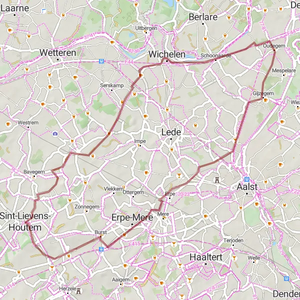
This gravel cycling route with a distance of 45 kilometers and an ascent of 135 meters offers a unique adventure through the beautiful Belgian countryside. Enjoy the peacefulness of nature as you traverse gravel trails and discover hidden gems. Highlights along the route include Sint-Lievens-Houtem at the starting point, Smetlede at 8 kilometers, Oudegem at 22 kilometers, and Burst at 39 kilometers.
Gontrode and Beyond
Discover the rural beauty of East Flanders
This scenic 69-kilometer road cycling route starting near Sint-Lievens-Houtem offers a great mix of flat terrain and rolling hills. With 168 meters of ascent, it provides a moderate challenge for cyclists. Highlights along the route include Gontrode, a charming village known for its historic buildings, and Zonnegem, a picturesque town with beautiful landscapes.
Rural gravel adventure in the heart of East Flanders
Gravel Route 1 is a picturesque cycling route that takes you through the charming countryside of Sint-Lievens-Houtem. With a total distance of 52 kilometers and 445 meters of ascent, this route is suitable for experienced gravel riders. As you ride through Velzeke-Ruddershove, Haaghoek, Bosgat, Varent, Korsele, and Sint-Lievens-Houtem, you'll be immersed in beautiful landscapes and encounter historical landmarks. The highlights along the route include the historic village of Velzeke-Ruddershove, the cobbled section of Haaghoek, and the scenic wooded area of Bosgat.
Exploring the hidden gems of Sint-Lievens-Houtem
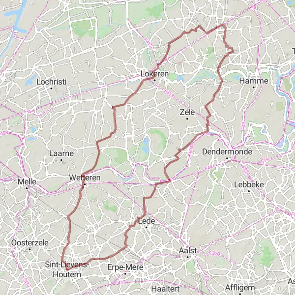
Gravel Route 2 offers a fascinating journey through the hidden gems of Sint-Lievens-Houtem and its surroundings. With a total distance of 80 kilometers and 104 meters of ascent, this route is suitable for intermediate gravel riders. As you ride through Westrem, Lokeren, Mont Henri, Waasmunster, Schoonaarde, Impe, and Letterhoutem, you'll discover charming villages, scenic landscapes, and historical landmarks. The highlights along the route include the idyllic village of Westrem, the picturesque town of Lokeren, and the historic Mont Henri Castle.
Road Route 1
Scenic road cycling with challenging climbs in East Flanders
Road Route 1 is a scenic cycling route that takes you through the beautiful landscapes and challenging climbs of East Flanders. With a total distance of 68 kilometers and 551 meters of ascent, this route is suitable for experienced road riders. As you ride through Sint-Lievens-Houtem, Wijnhuize, Hemelveerdegem, Kiosque à musique, Steenbeekberg, Sint-Kornelis-Horebeke, Munkzwalm, and Balegem, you'll enjoy breathtaking views and encounter cultural landmarks. The highlights along the route include the vibrant town of Sint-Lievens-Houtem, the picturesque village of Wijnhuize, the historical Kiosque à musique, and the iconic Steenbeekberg.
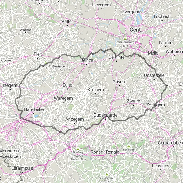
Immerse yourself in the rural beauty of East Flanders
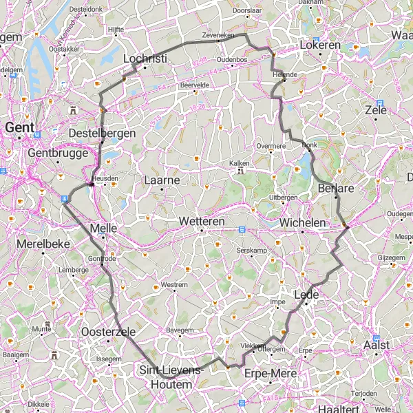
This 128-kilometer road cycling route starting in Sint-Lievens-Houtem offers an immersive experience of the picturesque countryside of East Flanders. With 538 meters of ascent, it provides a challenging ride for experienced cyclists. Highlights along the route include the quaint village of Sint-Lievens-Houtem, the scenic Rekelberg climb, and the notable Edelareberg ascent.
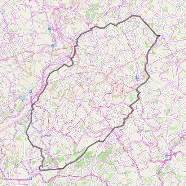
Gravel Route 4
Exploring the rolling countryside of Lierde
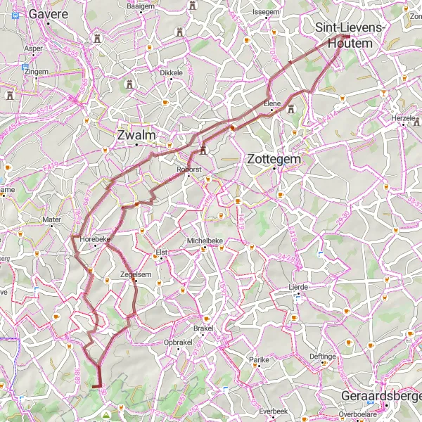
Gravel Route 4 offers an exciting adventure through the rolling countryside of Lierde. With a total distance of 74 kilometers and 497 meters of ascent, this route is suitable for experienced gravel riders. As you ride through Sint-Martens-Lierde, Goeferdinge, Ogy, Pottelberg, Leberg, Haaghoek, and Sint-Lievens-Houtem, you'll discover hidden gems and natural wonders. The highlights along the route include the scenic village of Sint-Martens-Lierde, the picturesque hamlet of Goeferdinge, and the majestic Leberg climb.
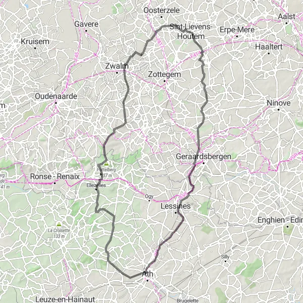
Brakel Hills
Conquer the challenging climbs of Brakel
This 71-kilometer road cycling route near Sint-Lievens-Houtem is perfect for those seeking a more demanding ride. With 428 meters of ascent, it offers a combination of relentless climbs and exhilarating descents. Highlights along the route include the scenic village of Godveerdegem, the picturesque town of Nederbrakel, and the challenging Kortekeer climb in Scheldewindeke.
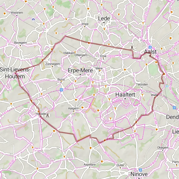
Discovering the rural beauty of Aalst and its surroundings
Gravel Route 3 takes you on a scenic journey through the rural beauty of Aalst and its surroundings. With a total distance of 41 kilometers and 213 meters of ascent, this route is suitable for intermediate gravel riders. As you ride through Sint-Lievens-Houtem, Aalst, Lebeke, and Woubrechtegem, you'll experience the tranquility of the countryside and encounter cultural landmarks. The highlights along the route include the charming town of Aalst, known for its lively festivals and historic architecture, and the picturesque village of Woubrechtegem.
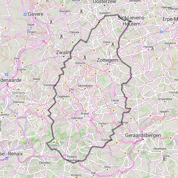
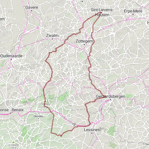
Sint-Lievens-Houtem Circuit
Experience the beauty of Sint-Lievens-Houtem and its surroundings on this road cycling route
This challenging road cycling route takes you through the scenic landscapes of Sint-Lievens-Houtem and offers stunning views along the way. With a total distance of 91 kilometers and an ascent of 578 meters, this route is perfect for well-trained amateur cyclists looking for a thrilling adventure. The highlights of the route include a picturesque bridge at 15 kilometers, the historic town of Ath at 39 kilometers, Ellezelles at 58 kilometers, Pottelberg at 63 kilometers, Rekelberg at 74 kilometers, Munkzwalm at 78 kilometers, and Balegem at 86 kilometers.
Cycling routes nearby:


Nearby regions: