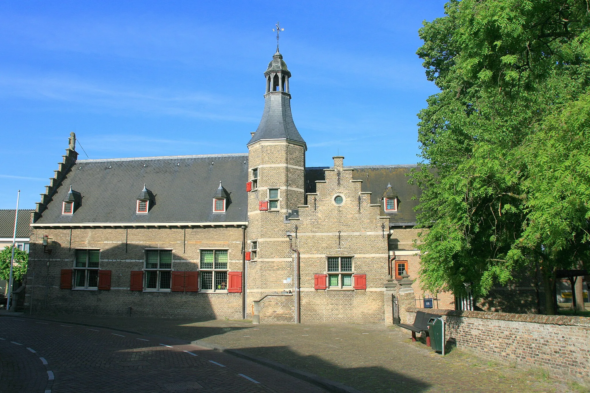
Blanden: Exploring Tranquil Countryside and Legendary Climbs in Ýç Anadolu Bölgesi, Turkey
Cycling routes from Blanden
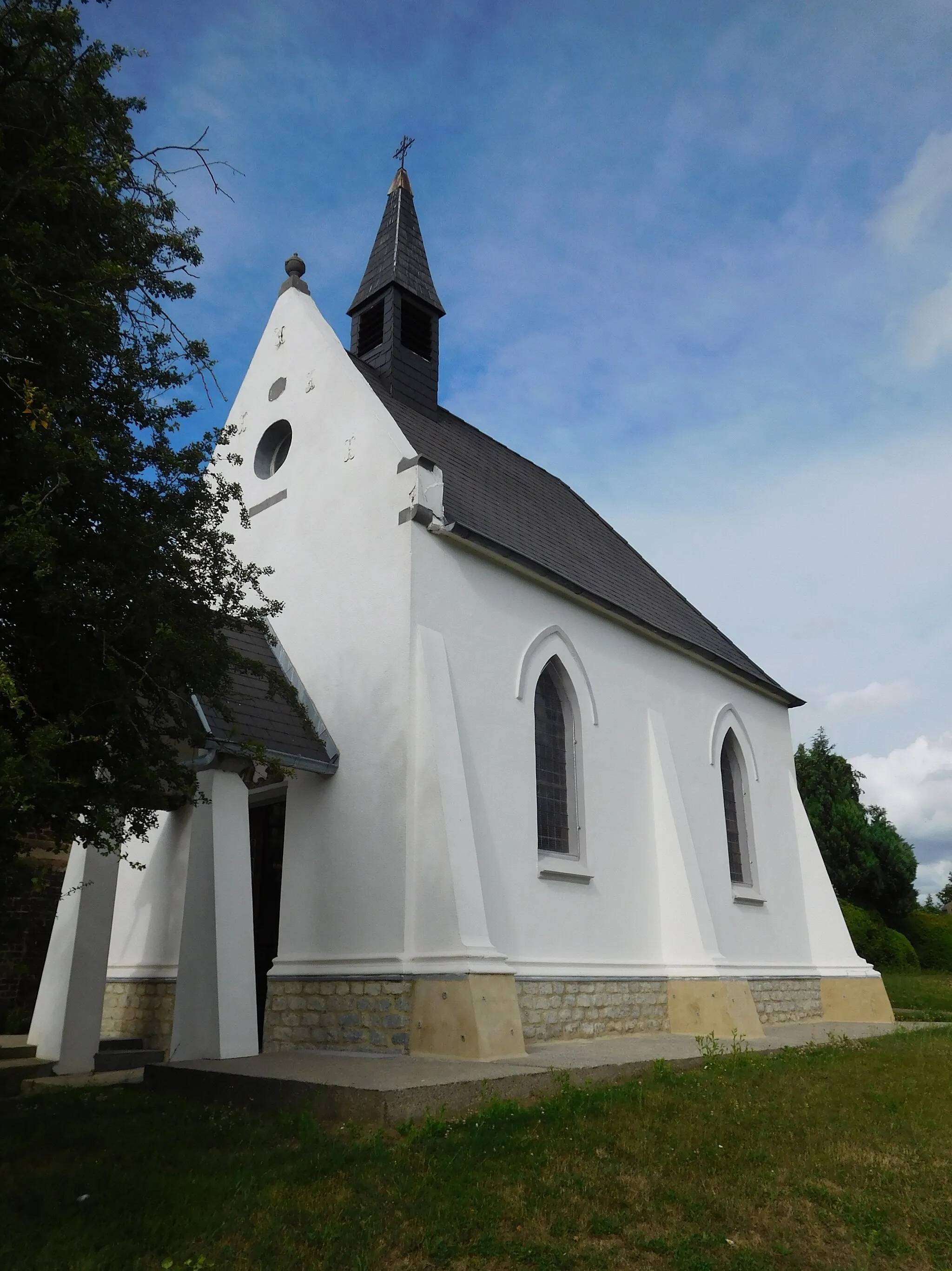
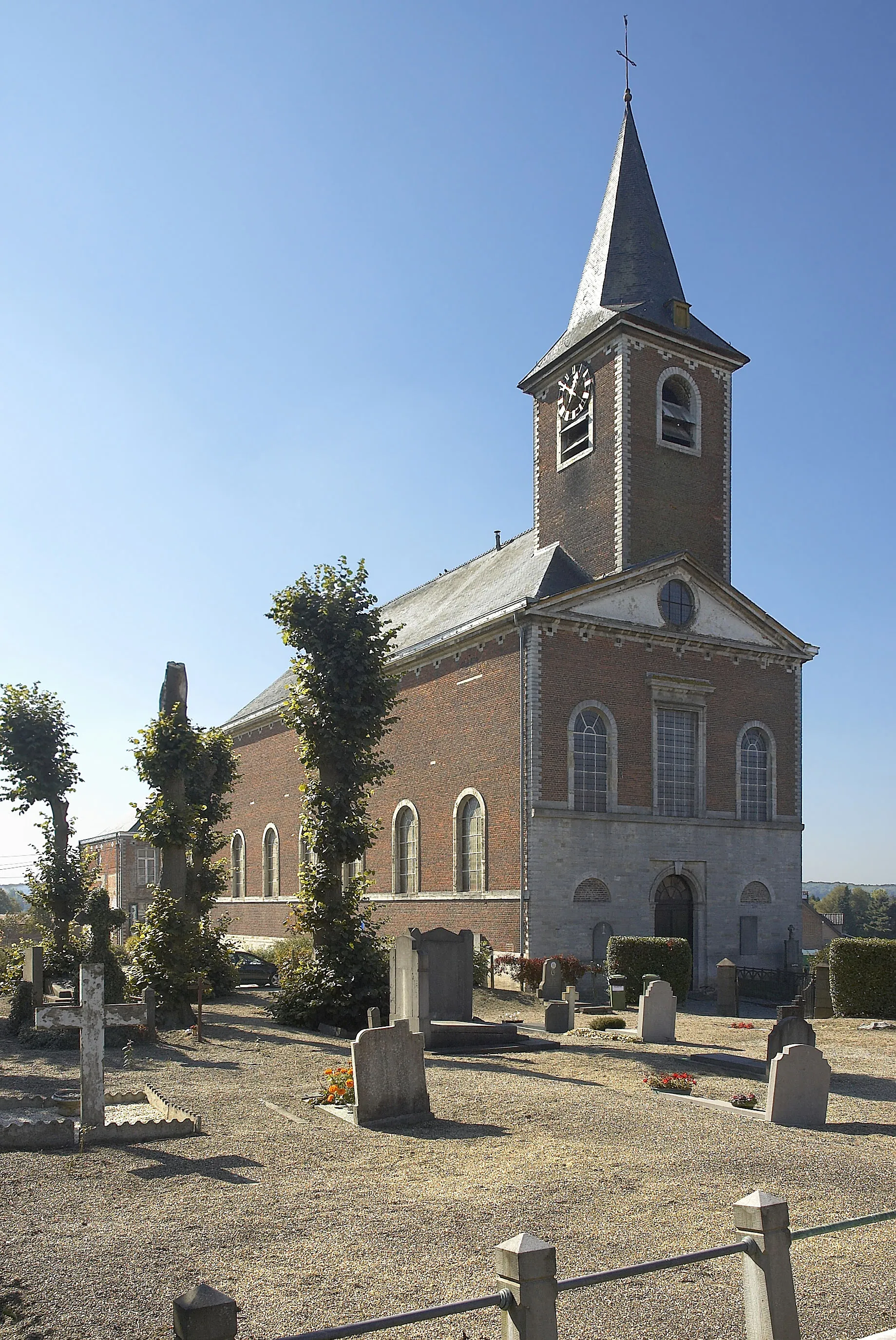
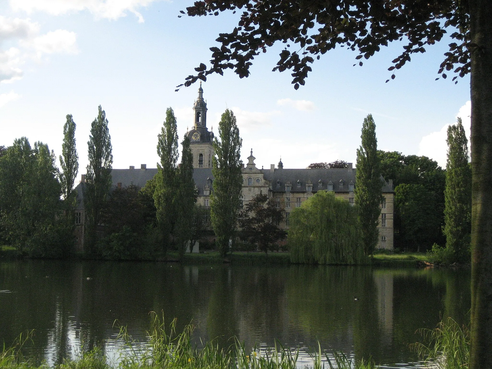
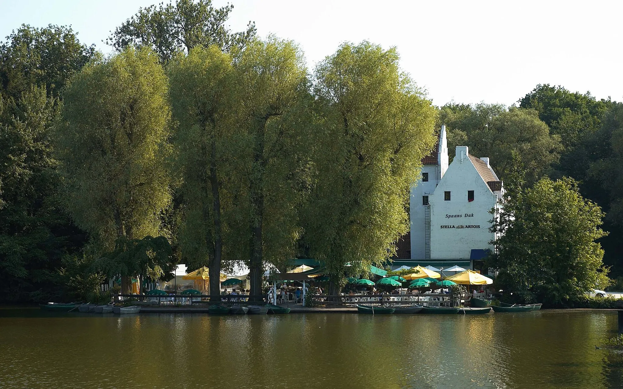
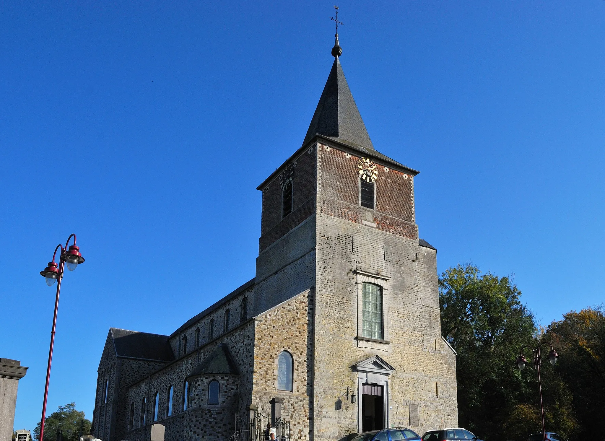
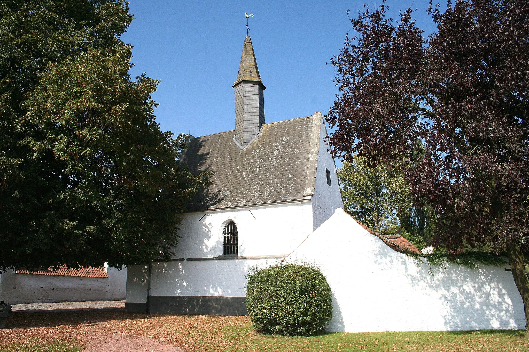
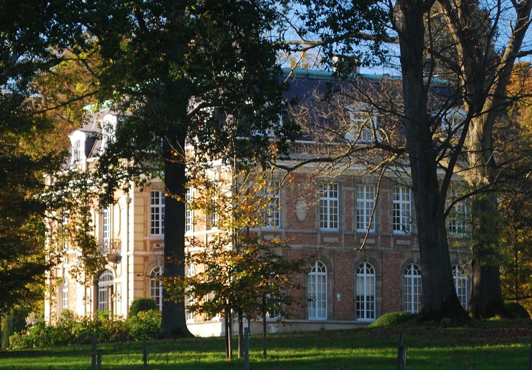
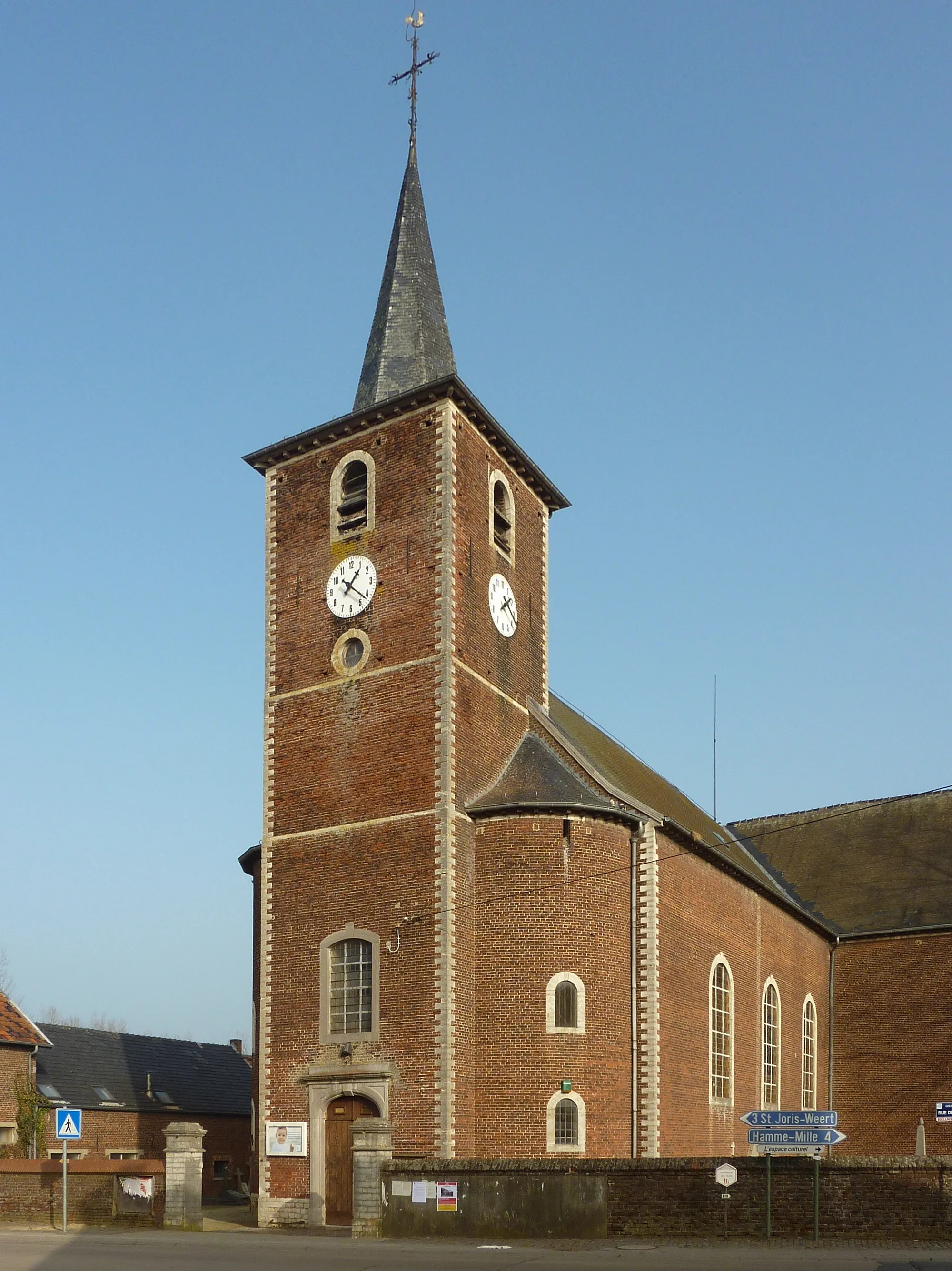
Blanden, located in Ýç Anadolu Bölgesi, Turkey, boasts a delightful countryside setting for road and gravel cyclists to explore. The locality offers a mix of flat routes and rolling hills, making it suitable for cyclists of all levels. Blanden is known for its picturesque landscapes, traditional villages, and rural charm. The area is also home to the iconic climb of Koninksemberg, a legendary ascent that boasts stunning views at the top. With its tranquil scenery and cycling-friendly atmosphere, Blanden ranks as a 4 on the cyclist perspective scale.
Sint-Agatha-Rode - Korbeek-Dijle
A road route with highlights including the Atomium and stunning landscapes.
This 102 km road route takes you through diverse landscapes and several interesting highlights. With a total ascent of 526 meters, it offers a moderate level of difficulty and is suitable for moderately experienced cyclists. The stunning Atomium is one of the attractions along the way, providing a fascinating architectural sight. The epicness level of this route is 3, with beautiful landscapes and cultural landmarks to enjoy.
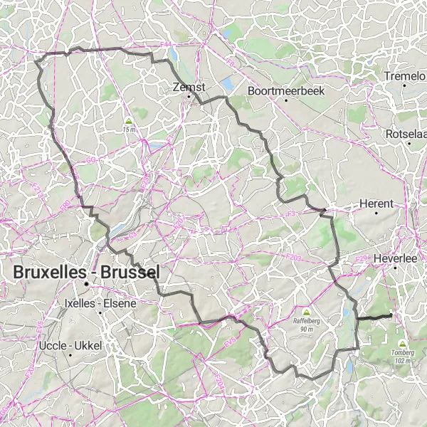
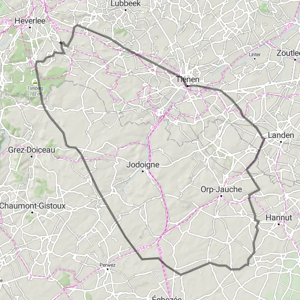
Blanden - Leutsberg - Bierbeek - Hélécine - Orp-Jauche - Éghezée - Perwez - Grez-Doiceau - Tomberg
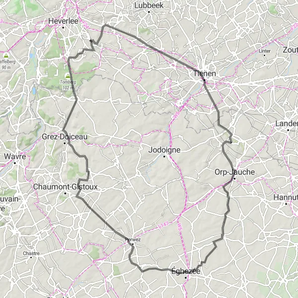
Discover the scenic countryside and charming villages of Vlaams-Brabant on this road cycling route starting near Blanden.
This route showcases the picturesque landscapes and picturesque architecture of Vlaams-Brabant. With a moderate difficulty level, it is suitable for well-trained amateur cyclists. The route covers a total distance of 94 kilometers with an elevation gain of 506 meters.
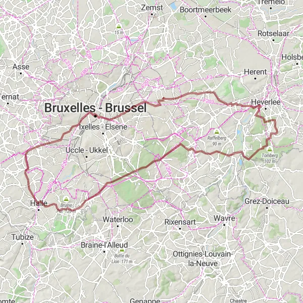
Explore the beautiful landscapes and historical towns surrounding Blanden on this road cycling route.
This road cycling route immerses cyclists in the rich history and scenic beauty of Vlaams-Brabant. With a moderate difficulty level, it offers an enjoyable cycling experience. The route covers a distance of 88 kilometers with an elevation gain of 460 meters.
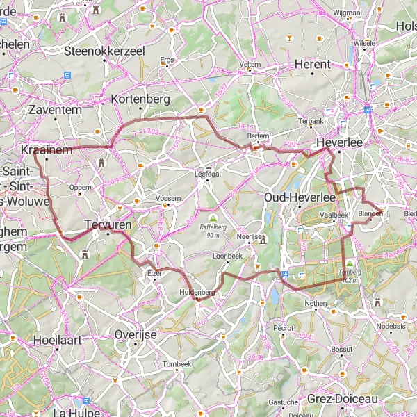
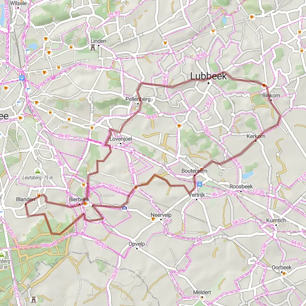
Discover the scenic gravel roads and hidden gems around Blanden on this gravel cycling route.
This gravel cycling route provides a unique experience exploring the lesser-known paths and stunning viewpoints near Blanden. With a moderate difficulty level, it is suited for gravel enthusiasts looking for adventure. The route covers a distance of 53 kilometers with an elevation gain of 385 meters.
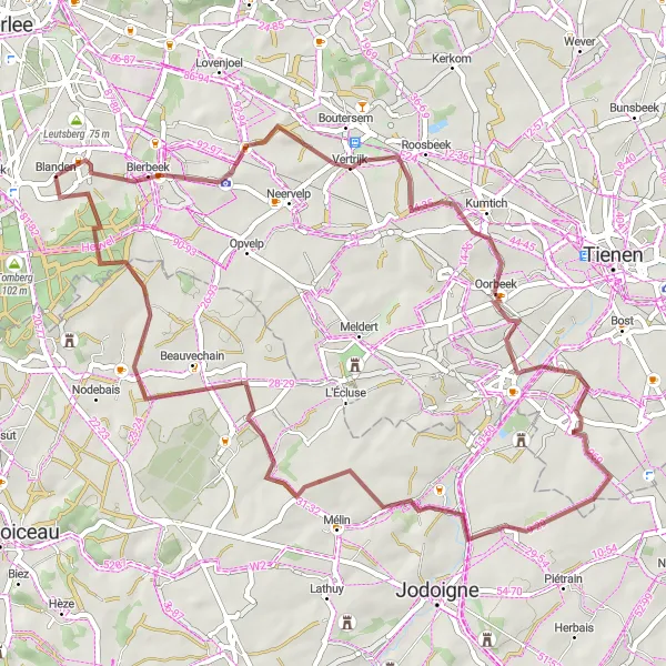
Blanden - Leutsberg
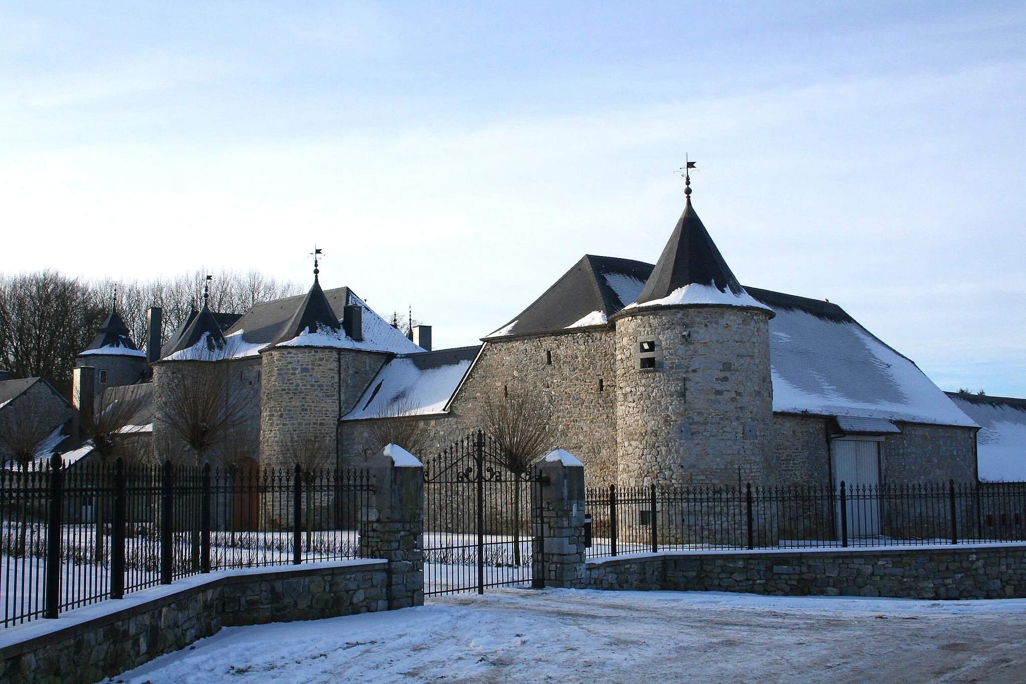
A gravel route with highlights including Tomberg and the stunning Arenberg Castle.
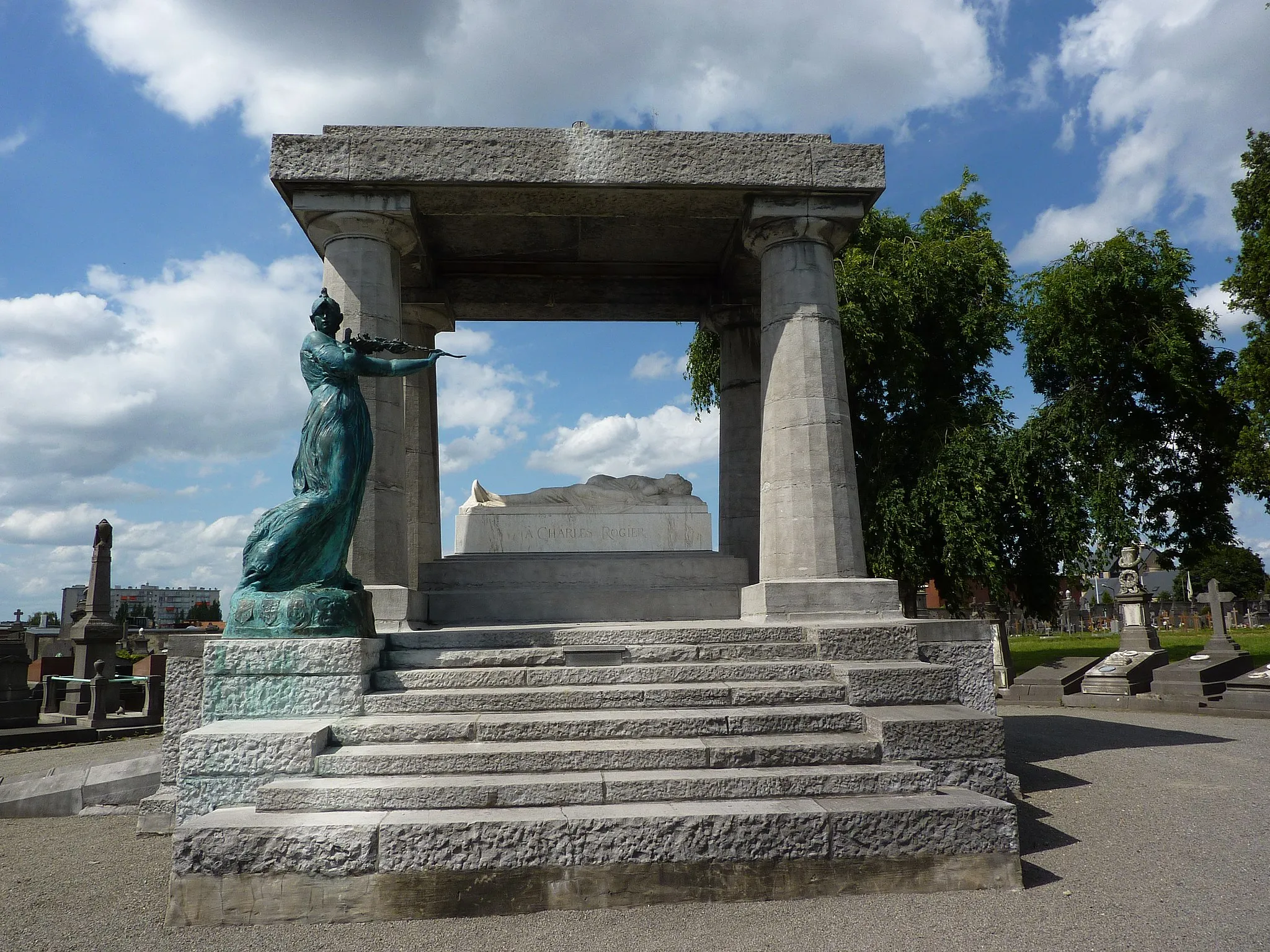
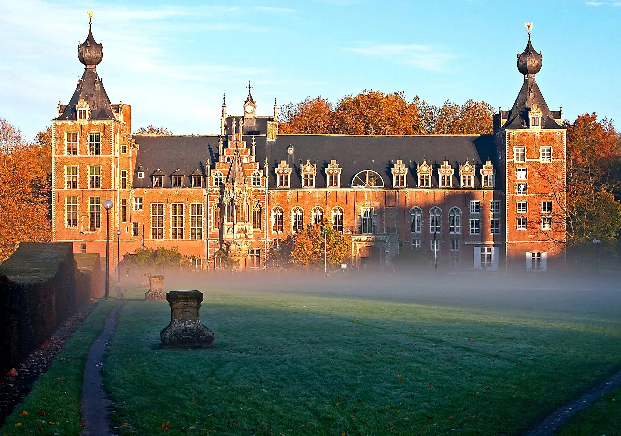
This 58 km gravel route is perfect for nature lovers and offers several highlights to admire. With a total ascent of 501 meters, it provides a moderate level of difficulty and is suitable for moderately experienced cyclists. The epicness factor is 3, with beautiful natural landscapes along the way. One of the highlights includes a visit to Arenberg Castle, known for its stunning architecture and historical significance.
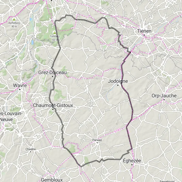
Leutsberg - Tomberg
A road route with attractions like Jodoigne and peaceful countryside.
This 84 km road route provides a great mix of peaceful countryside riding and interesting cultural attractions. With a total ascent of 515 meters, it is moderate in difficulty, suitable for moderately experienced cyclists. The epicness level is 3, with beautiful landscapes and intriguing spots along the way. Highlights include Jodoigne, a charming town full of history, and the beautiful surroundings of Chaumont-Gistoux.
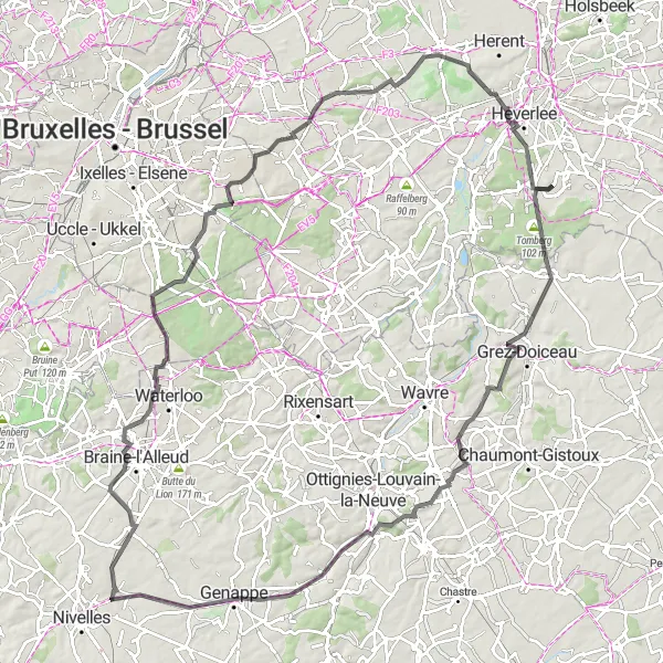
Embark on a scenic road cycling adventure through picturesque towns and stunning landscapes near Blanden.
This route takes cyclists through some of the most charming towns and scenic countryside near Blanden. With a moderate difficulty level, it offers a rewarding cycling experience. The route covers a distance of 108 kilometers with an elevation gain of 908 meters.
Lubbeek - Meldert
A scenic gravel route with views from the Orientation Table at Lubbeek and the A-Panorama at Meldert.
This 79 km gravel route takes you through scenic countryside, with highlights including the Lubbeek Orientation Table and the Meldert A-Panorama. The route has moderate difficulty with a total ascent of 468 meters. It offers a nice balance between challenge and enjoyment, making it suitable for moderately experienced cyclists. The epicness level is 3, with beautiful landscapes to admire along the way.
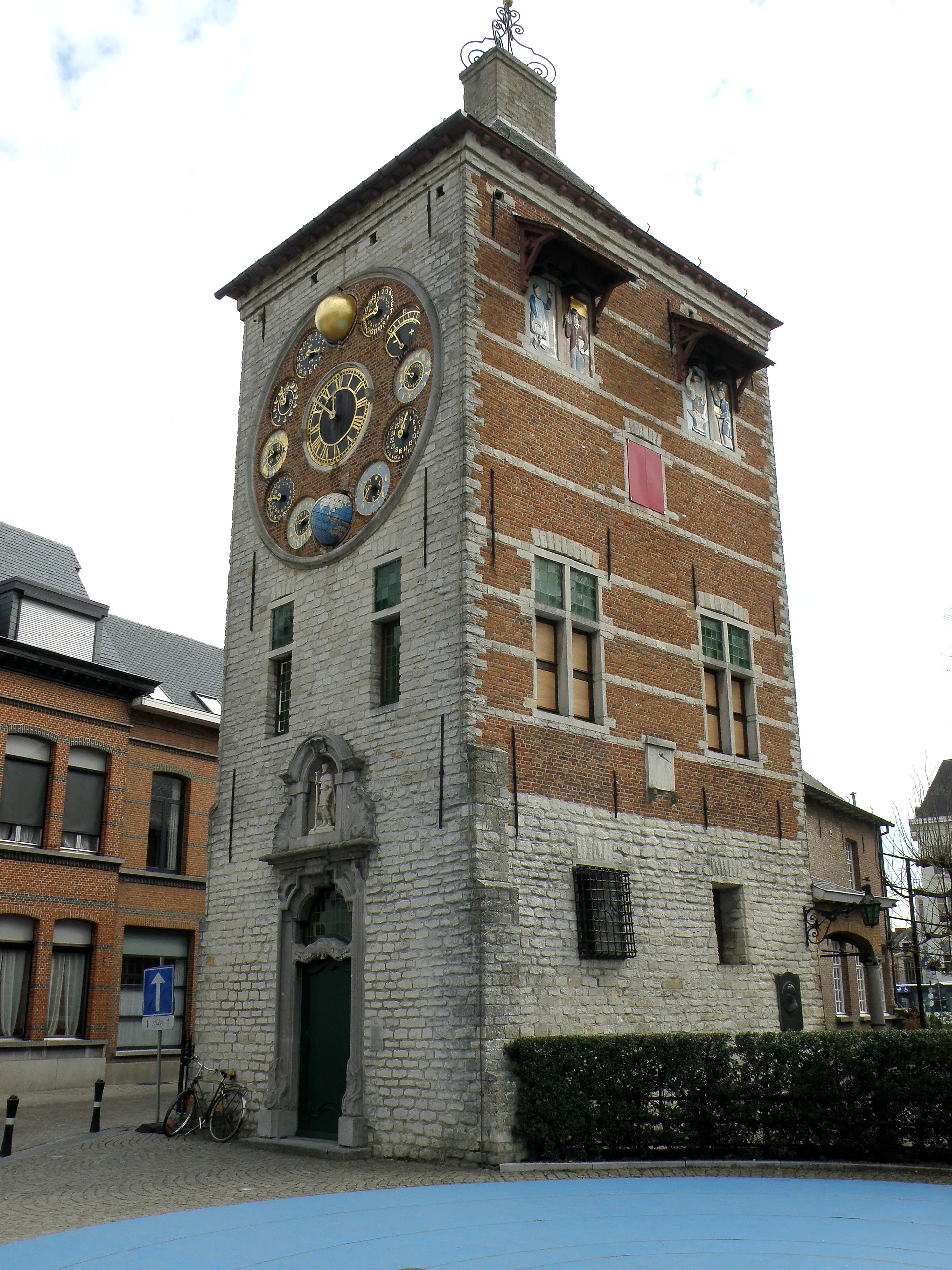
A scenic gravel route with highlights including the watertoren (water tower) in Bierbeek and the A-Panorama.
This 38 km gravel route is relatively short but offers picturesque scenery along the way. With a total ascent of 280 meters, it provides a moderate level of difficulty, suitable for moderately experienced cyclists. The epicness level is 2, with beautiful landscapes and scenic highlights. Don't miss the watertoren (water tower) in Bierbeek and the stunning A-Panorama at the end, where you can enjoy panoramic views.
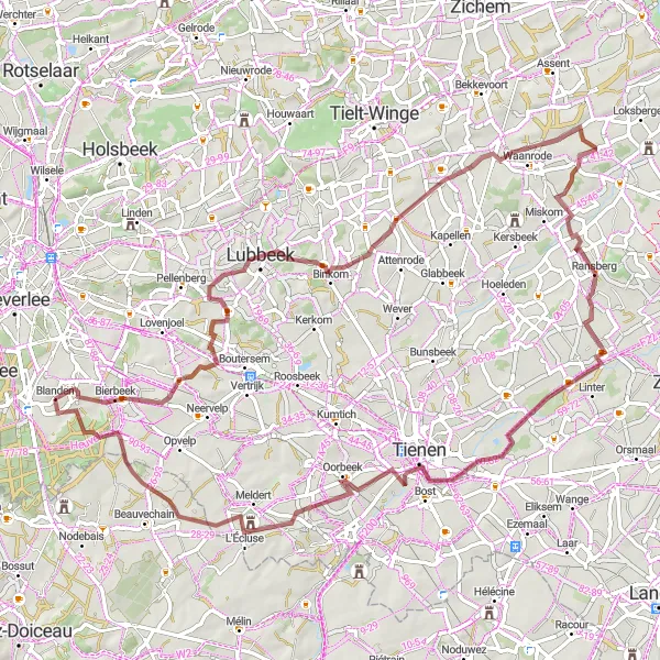
Experience a thrilling gravel adventure that takes you to stunning natural and historical sites near Blanden.
This gravel cycling route showcases the diverse landscapes and rich history of Vlaams-Brabant. With a challenging difficulty level, it is suited for experienced gravel riders seeking epic adventures. The route covers a distance of 100 kilometers with an elevation gain of 787 meters.
Cycling routes nearby:


Nearby regions: