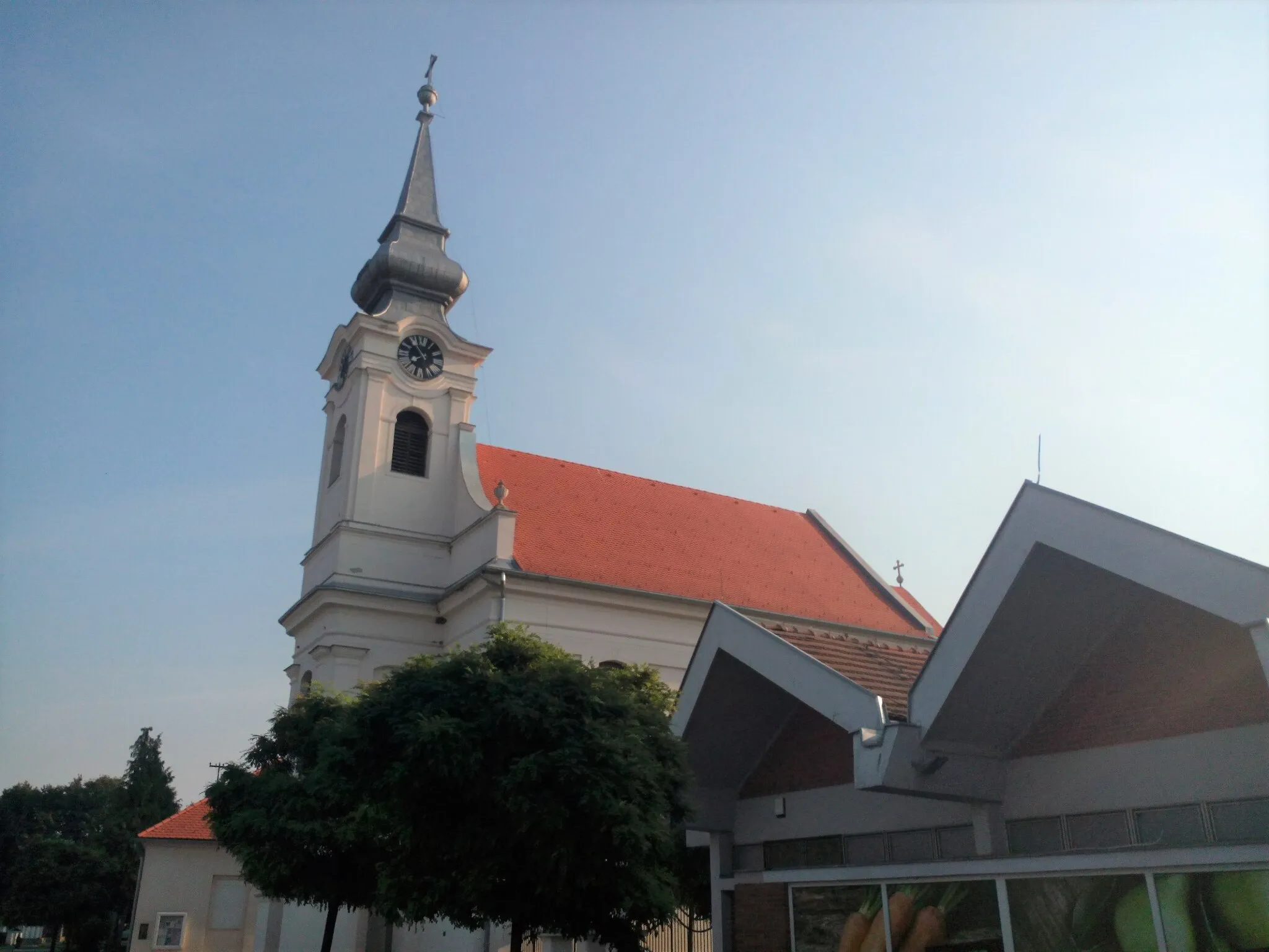
Limited Cycling Opportunities in Darda
Cycling routes from Darda
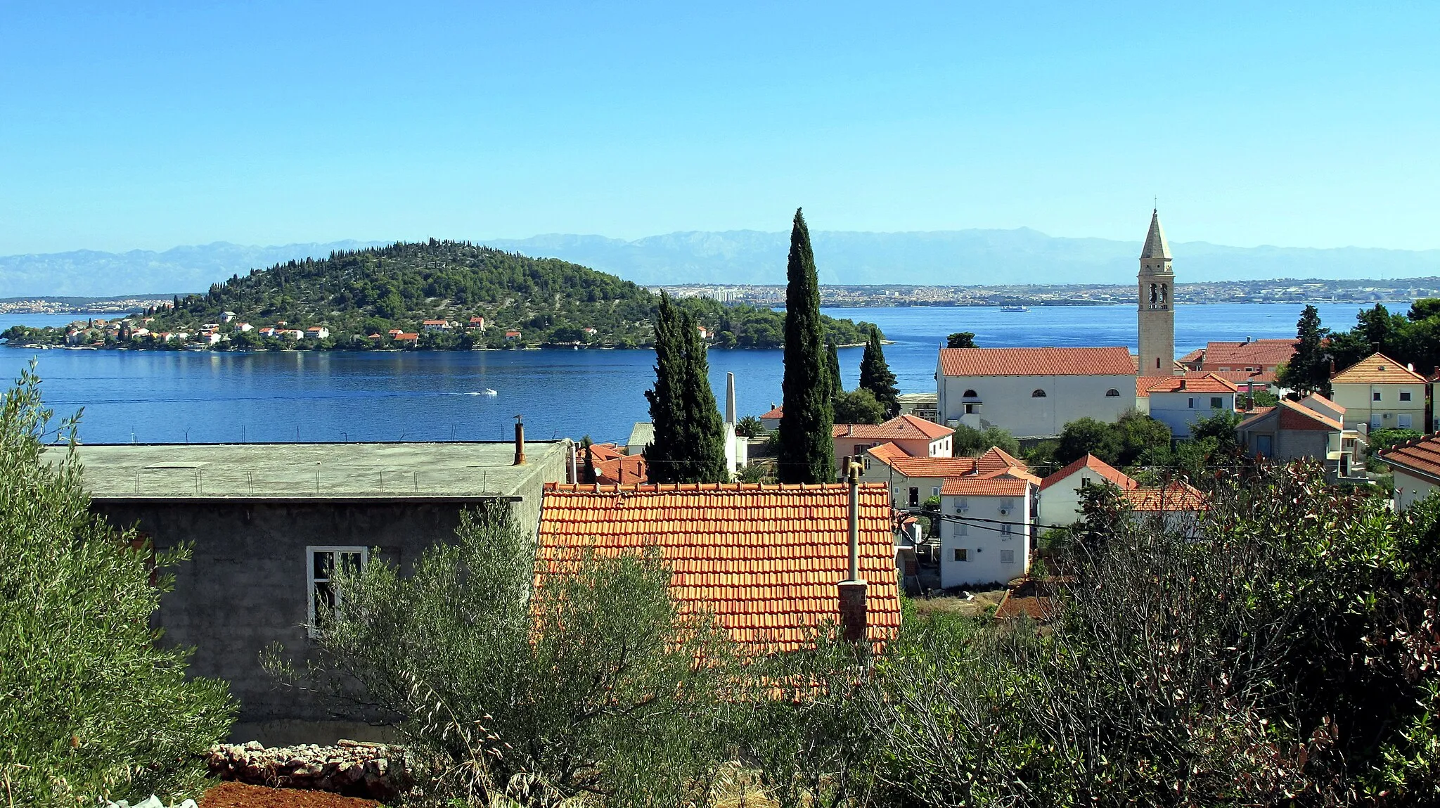
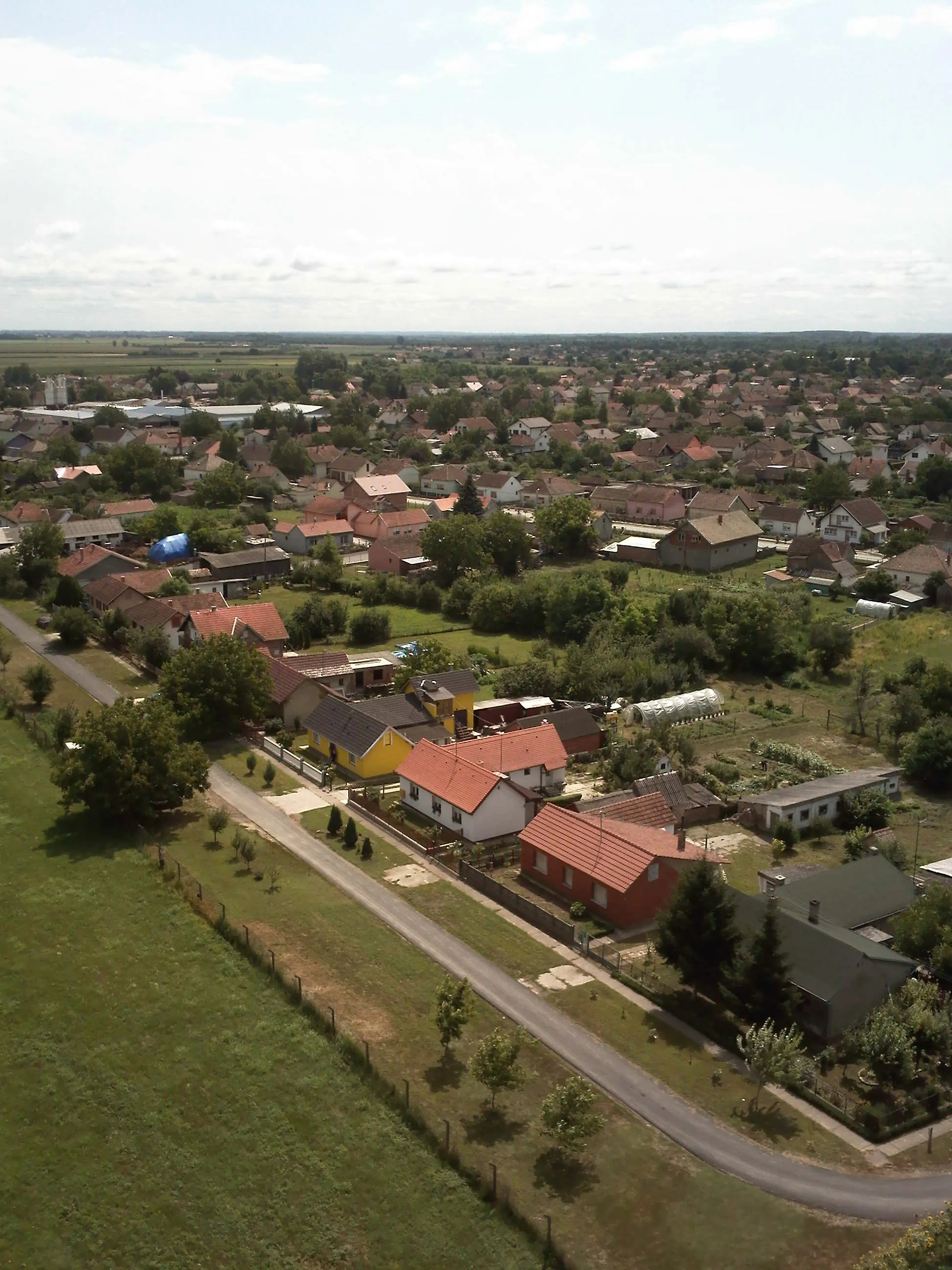
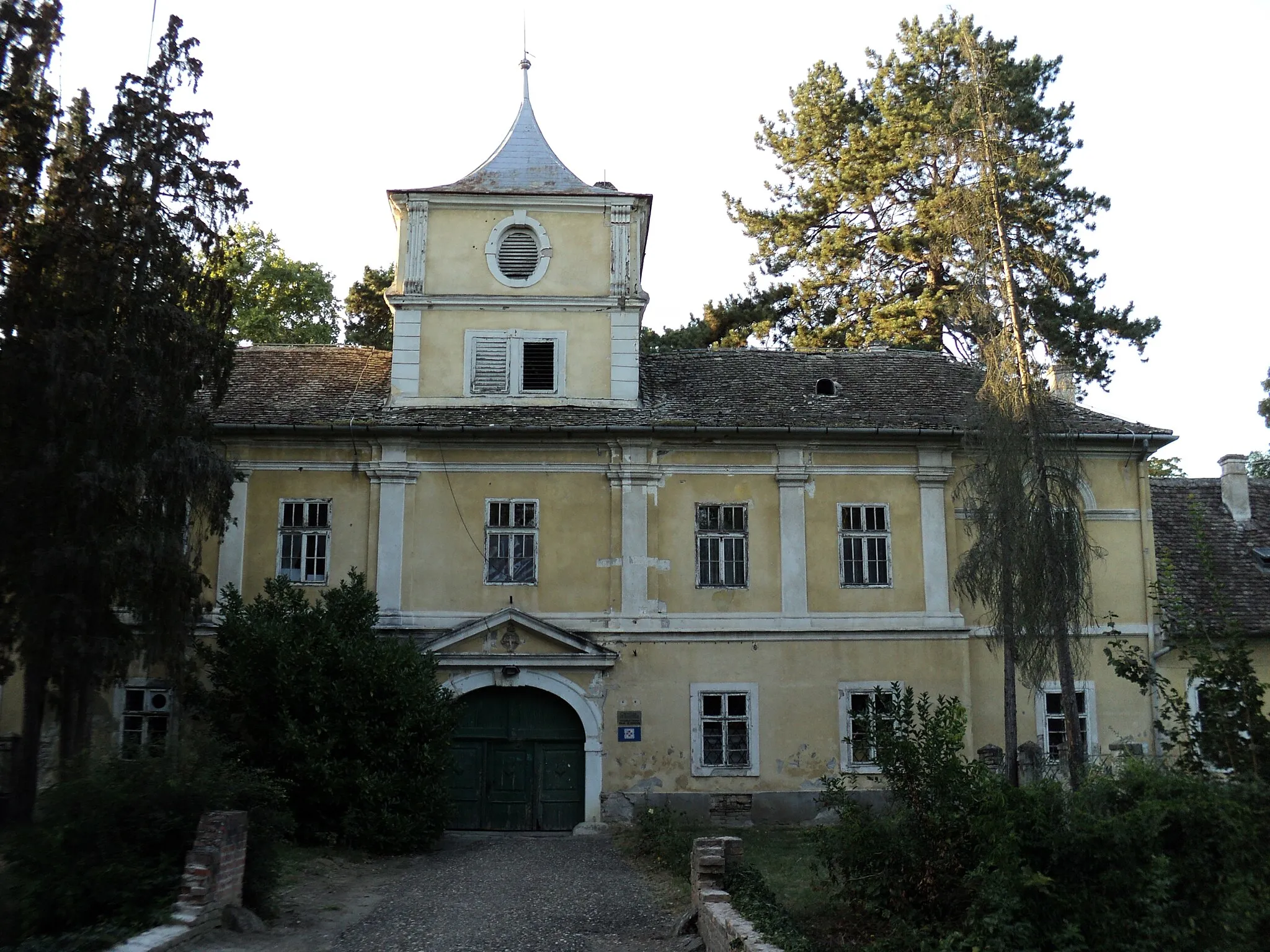
Darda is a locality located in Panonska Hrvatska, Croatia. From a cyclist's perspective, the area offers a few opportunities for road and gravel cycling. The roads are average and there are limited cycling routes available. However, there are no famous cycling-related spots or well-known climbs nearby. Overall, Darda receives a cyclist ranking of 2.

An adventurous road cycling route with thrilling climbs
Get ready for an adventurous cycling experience on this road route. Covering a distance of 75 kilometers and a challenging ascent of 147 meters, this route will test your endurance and climbing skills. Pass through the scenic villages of Jagodnjak, Šećerana, Kneževi Vinogradi, Grabovac, and Čeminac, each offering unique charm and rural beauty. The difficulty level of this route is 4, recommended for experienced cyclists. This epic route with a score of 4 will leave you with lasting memories and a sense of accomplishment.
Osijek to Darda Loop
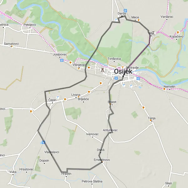
Explore the charming countryside as you cycle from Osijek to Darda
Embark on a delightful cycling journey from Osijek to Darda and back. This scenic route offers a perfect combination of stunning natural landscapes and quaint villages. With a total distance of 61 kilometers and an elevation gain of 46 meters, this road cycling route is suitable for cyclists of all levels. Enjoy the peaceful countryside and discover highlights such as Ernestinovo, Čepin, and CRAS d.o.o.

An off-road adventure through rustic landscapes
Experience the thrill of off-road cycling on this gravel route. Covering a distance of 59 kilometers and an ascent of 32 meters, this route will take you through rustic landscapes and hidden gems of Panonska Hrvatska. Ride through the picturesque villages of Bilje, Tikveš, Zlatna Greda, Dvorac Tikveš, and Lug, each offering a unique rural charm. With a difficulty level of 2, this route is suitable for riders of moderate skill. With an epicness score of 4, this route promises an unforgettable gravel adventure.
Road Cycling Route 1
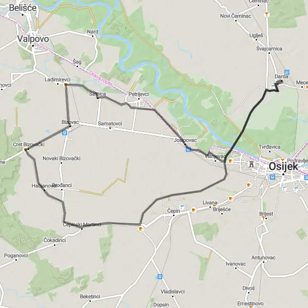
A scenic road cycling route with picturesque villages
Explore the beautiful countryside of Panonska Hrvatska on this scenic road cycling route. With a total distance of 69 kilometers and an ascent of 47 meters, this route takes you through the charming villages of Čepinski Martinci, Bizovac, Josipovac, and Darda. Enjoy the stunning rural landscapes and immerse yourself in the local culture and traditions. The overall difficulty of this route is 3, making it suitable for well-trained amateurs. With an epicness score of 3, this route offers a pleasant cycling experience without any extreme challenges.
Road Cycling Route 3
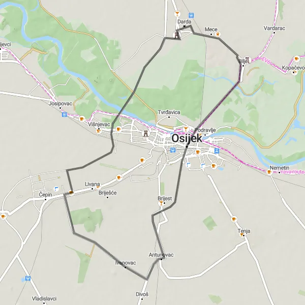
A scenic road cycling route with historical landmarks
Immerse yourself in history as you embark on this road cycling route. Covering a distance of 47 kilometers and an ascent of 46 meters, this route takes you past important historical landmarks of Panonska Hrvatska. Explore the city of Osijek with its architectural marvels, visit Ivanovac, known for its centuries-old monasteries, and end your journey in Darda, a charming town with a rich heritage. This route is suitable for all skill levels, with a difficulty rating of 2. With an epicness score of 3, it offers a pleasant cycling experience combined with cultural exploration.
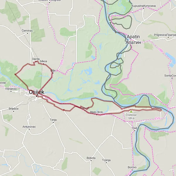
Embark on an exciting gravel adventure to Aljmaš and Erdut
Get ready for an exhilarating gravel adventure that takes you to Aljmaš and Erdut. Covering a distance of 93 kilometers with an ascent of 223 meters, this route offers a thrilling off-road experience. Marvel at the beautiful landscapes along the way and visit highlights like Bijelo Brdo, Osijek, and Stakleni vidikovac.

Experience the serene countryside as you cycle through Čepin and Bizovac
Embark on a captivating cycling journey through the tranquil countryside, exploring highlights like Čepin, Bizovac, and Josipovac. This road cycling route covers a distance of 62 kilometers with an elevation gain of 41 meters. Immerse yourself in the beauty of Panonska Hrvatska and indulge in the peaceful ambiance.
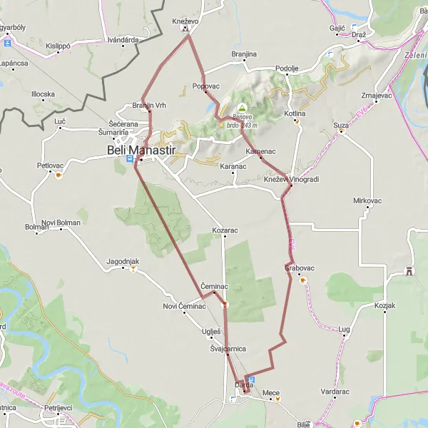
An exhilarating gravel adventure with challenging climbs
Get ready for an exhilarating gravel adventure on this route. Covering a distance of 59 kilometers and a challenging ascent of 118 meters, this route will push your limits and test your off-road skills. Pass through the villages of Branjin Vrh, Popovac, Banovo brdo, Kneževi Vinogradi, and Grabovac, each offering unique natural beauty and rustic charm. With a difficulty level of 4, this route is recommended for experienced gravel riders. With an epicness score of 4, it promises a thrilling and memorable cycling experience.
Zmajevac and Bilje Gravel Ride
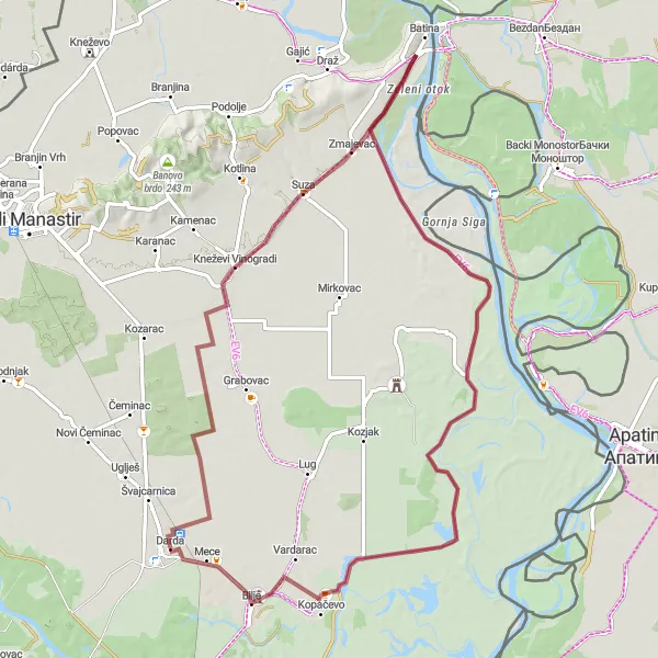
Embark on a thrilling gravel ride through Zmajevac and Bilje
Get ready for an adrenaline-pumping adventure through the gravel paths of Panonska Hrvatska. Indulge in breathtaking views as you ride from Zmajevac to Bilje. Covering a distance of 77 kilometers with an ascent of 62 meters, this gravel route offers an exciting escapade for gravel enthusiasts. Don't miss highlights like Kneževi Vinogradi and Tikveš along the way.
Jagodnjak to Kneževi Vinogradi
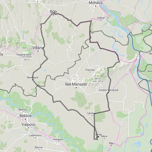
Embark on a captivating road cycling journey through scenic landscapes
Immerse yourself in the beauty of Panonska Hrvatska as you cycle from Jagodnjak to Kneževi Vinogradi. This 121-kilometer-long road cycling route promises breathtaking views and an elevation gain of 240 meters. Prepare to be mesmerized by highlights like Beremend, Pócsa, and Tavanac along the way.
Cycling routes nearby:
Nearby regions: