Exploring a Medieval Town amidst Picturesque Landscapes
Cycling routes from Slavonice
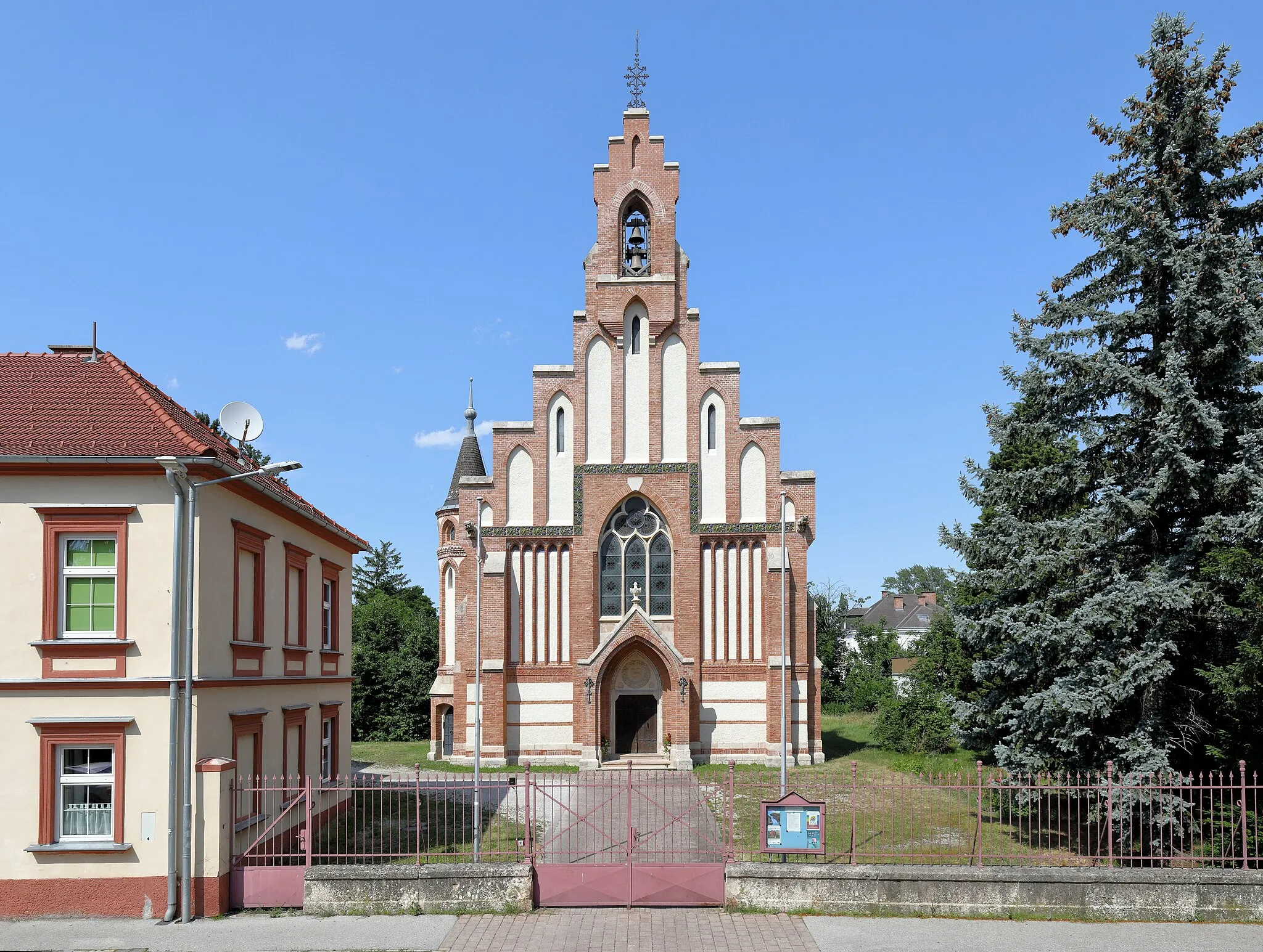
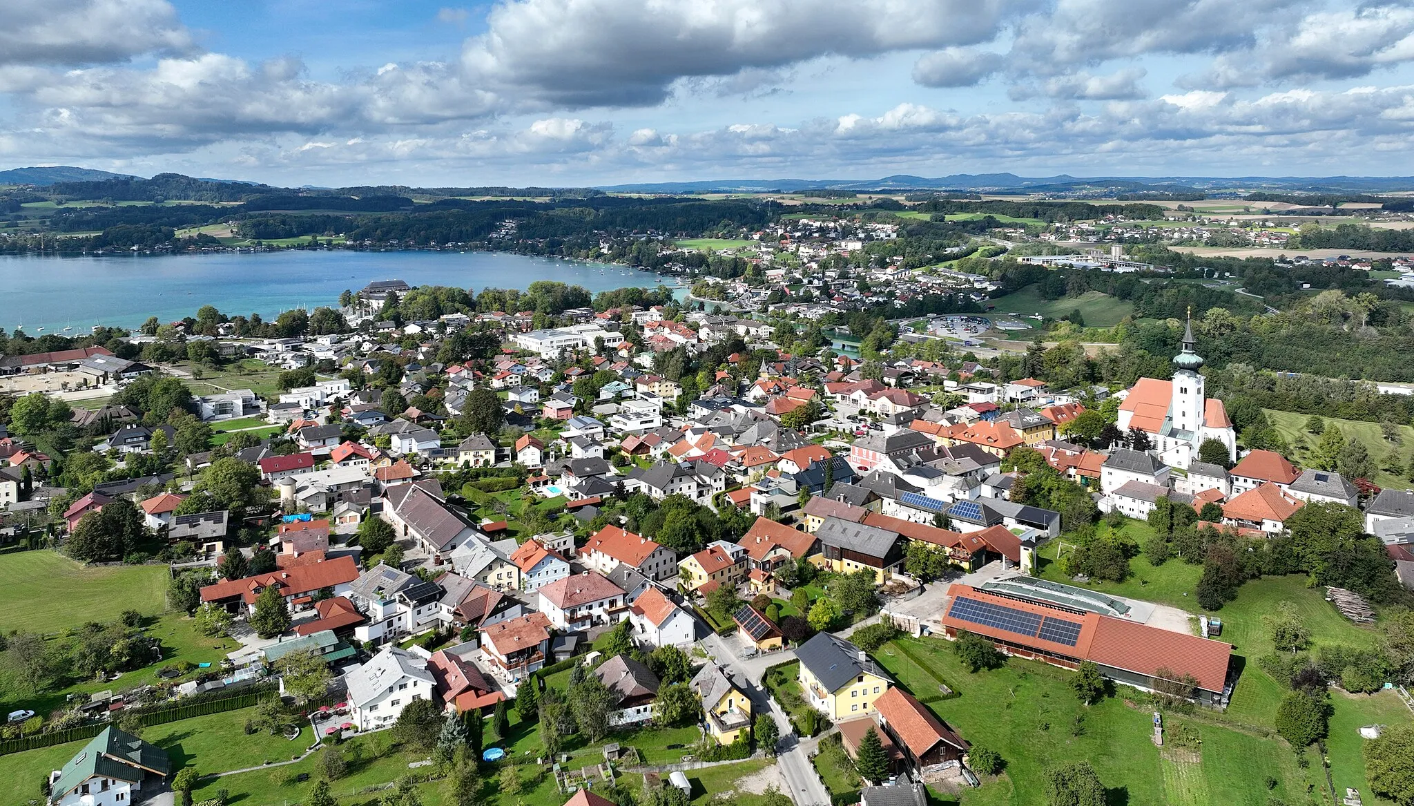
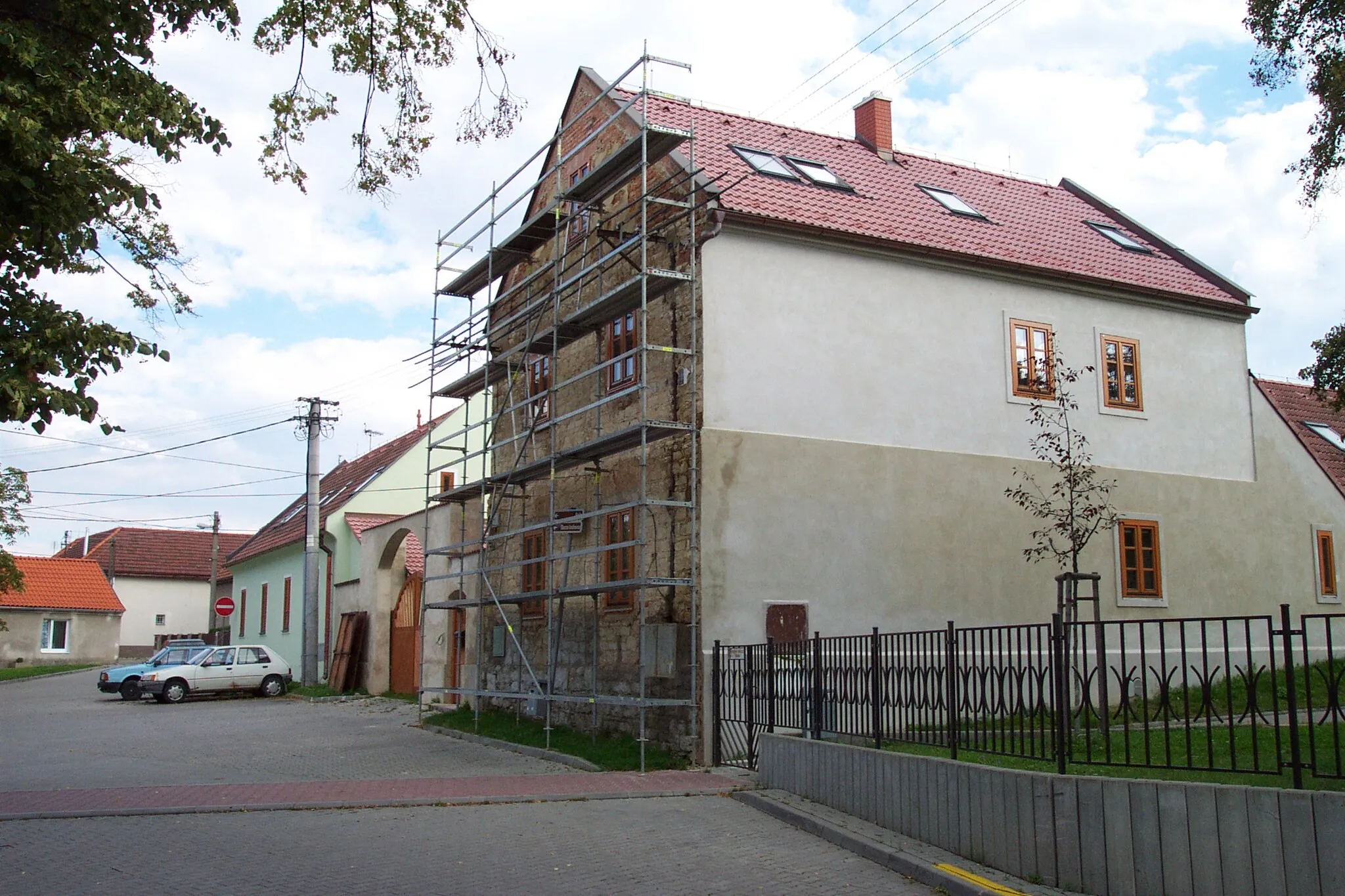
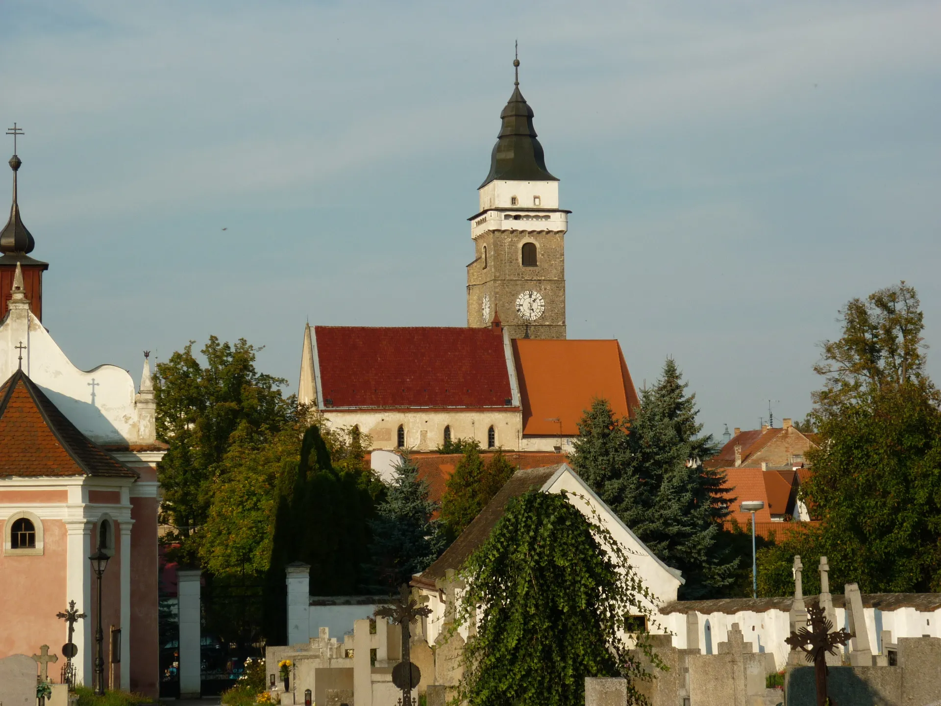
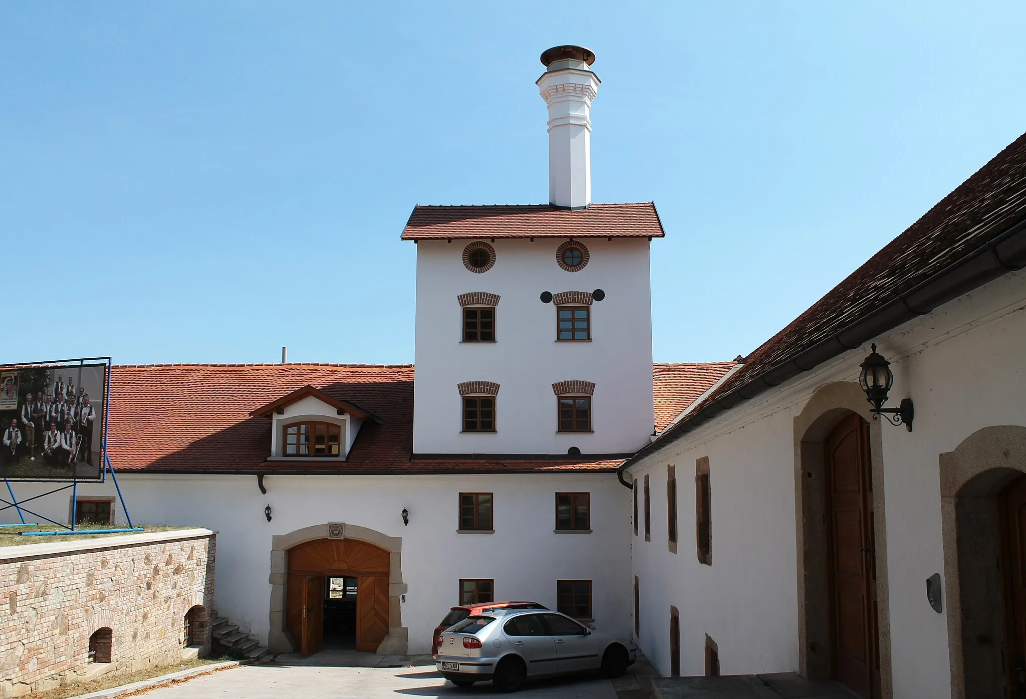
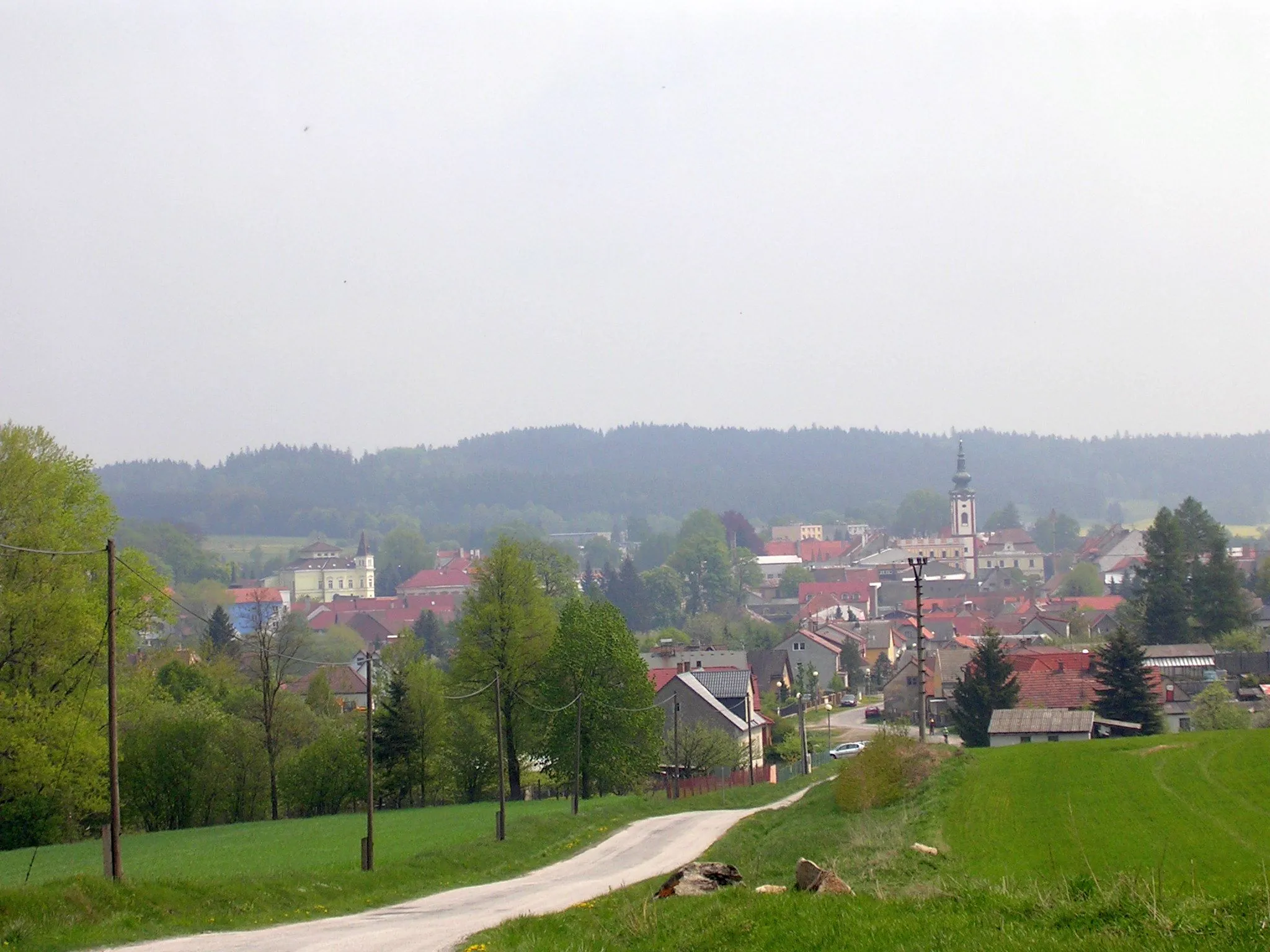
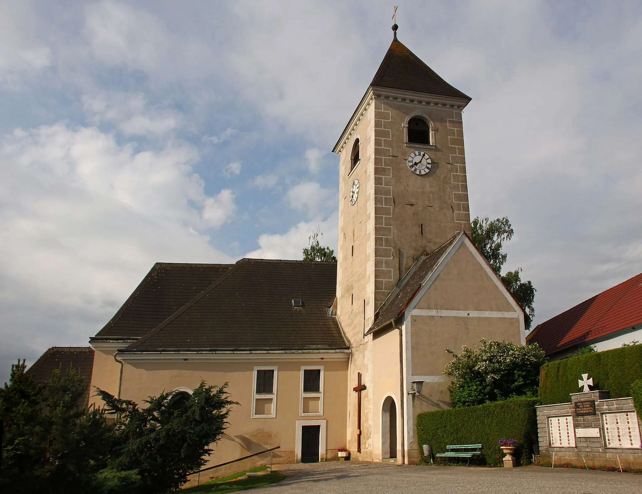
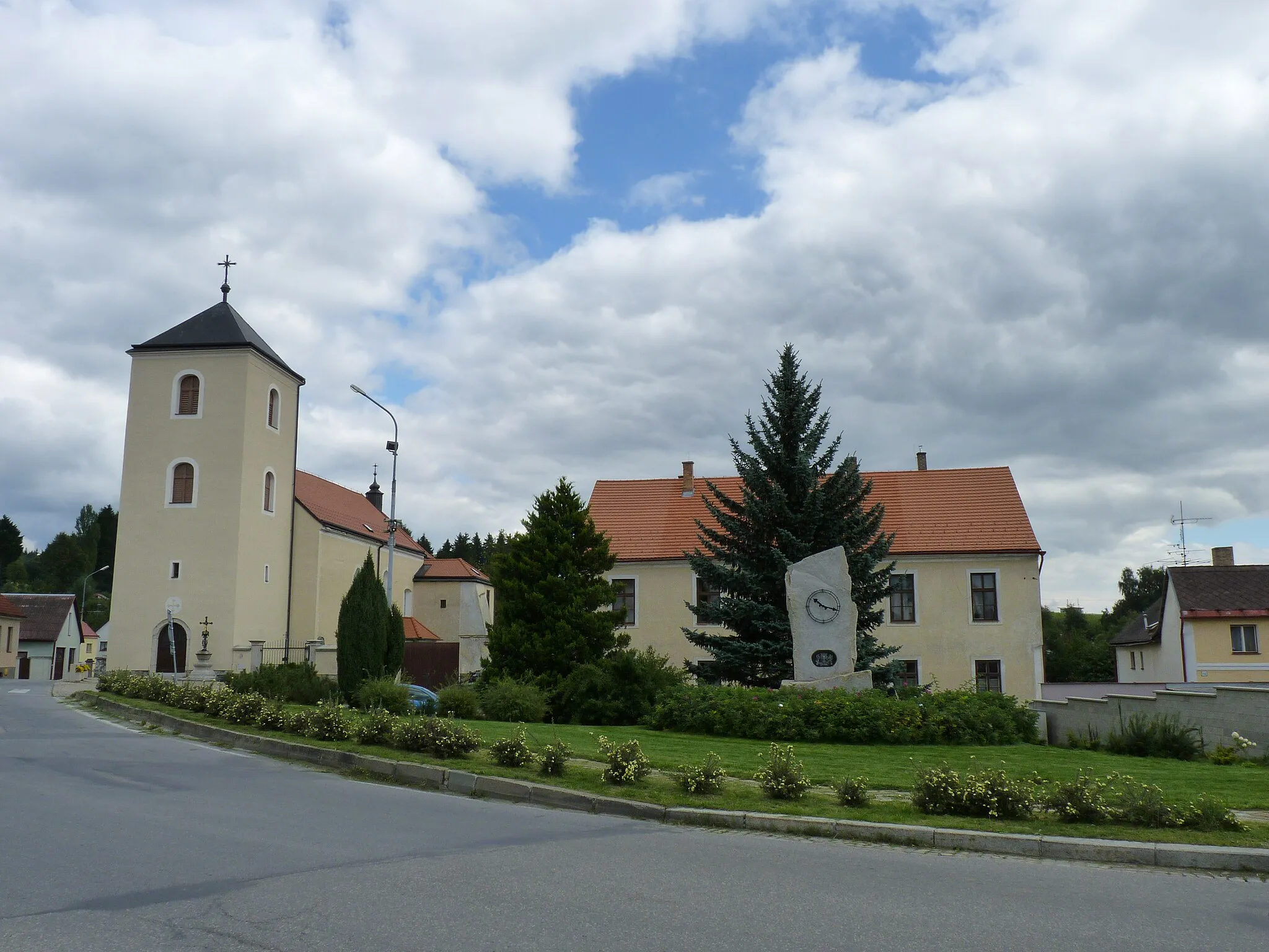
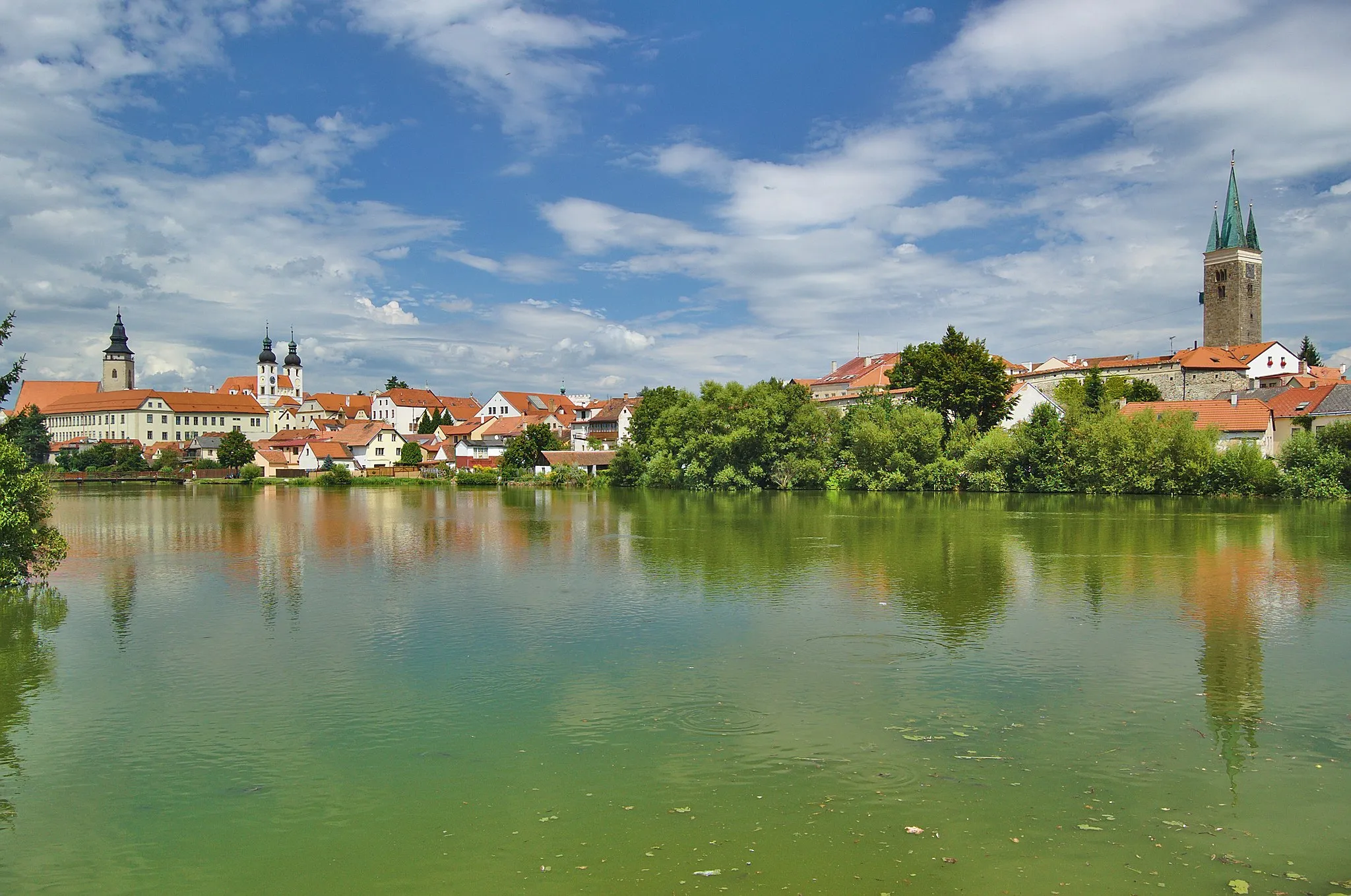
Slavonice is a town located in the Jihozápad region of the Czech Republic. From a cyclist's perspective, Slavonice offers a mix of flat and hilly terrains, making it suitable for both road and gravel cyclists. The town itself is known for its well-preserved medieval walls and beautiful architecture. There are also several cycling routes that pass through Slavonice, offering scenic views of the surrounding countryside. Overall, Slavonice is a great destination for cyclists who enjoy exploring historical towns while enjoying a ride.
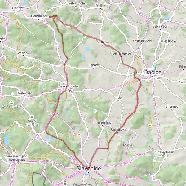
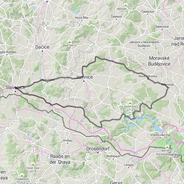
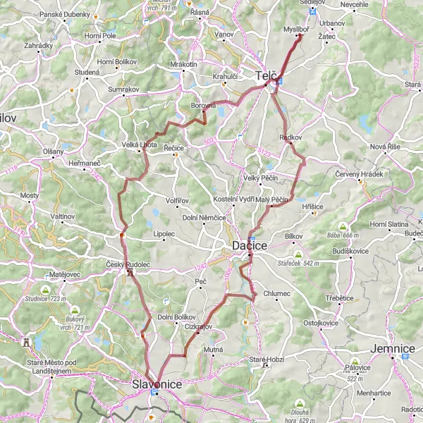
Escape the city and immerse yourself in nature on this scenic gravel cycling route
Experience the serenity of the Czech countryside as you cycle through picturesque landscapes and charming villages near Slavonice. This gravel route is perfect for a relaxing escape from the hustle and bustle of everyday life. With an ascent of 615 meters and a distance of 44 kilometers, this ride offers a balance of challenging sections and leisurely stretches through rolling hills.
The Gravel Explorer
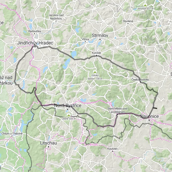
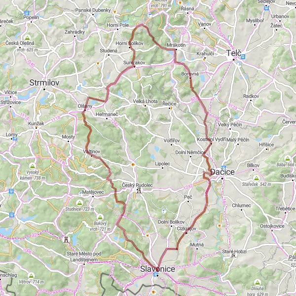
Unleash your inner explorer on this adventurous gravel cycling route near Slavonice
Experience the thrill of off-road cycling as you explore rugged trails and hidden gems near Slavonice. This gravel route offers a mix of challenging terrain, scenic vistas, and quaint villages, making it a perfect adventure for gravel enthusiasts. With an ascent of 653 meters and a distance of 46 kilometers, this ride will push your limits and lead you to discover the untamed beauty of the Czech Republic.
Road Route to Větrník
Enjoy a scenic journey to Větrník, a charming village with breathtaking views.
This road route takes you to the picturesque village of Větrník, offering stunning views of the surrounding landscapes. With an ascent of 1046m over a distance of 96km, this route provides a challenging ride for well-trained amateur cyclists. Highlights along the route include Chvaletín, a quaint village with traditional architecture, and Šibeniční vrch, a hill known for its natural beauty. The difficulty level of this route is rated 4 out of 5, making it suitable for experienced cyclists. The epicness rating is 3 out of 5, as the route offers stunning scenery but lacks any famous or legendary spots.

Experience the historic charm of Staré Město pod Landštejnem on this scenic road route.
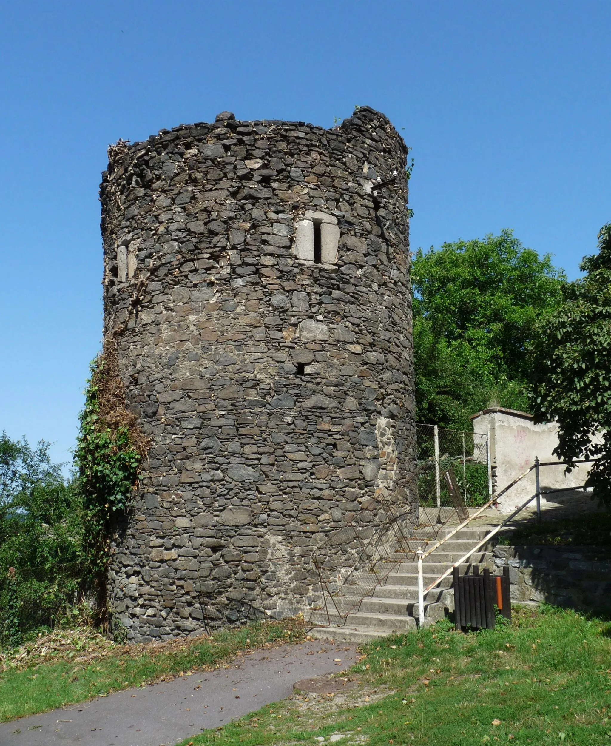
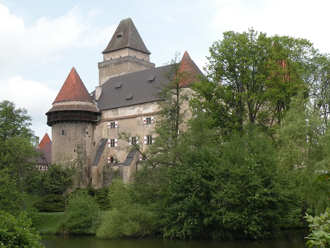
This road route takes you to the historic village of Staré Město pod Landštejnem, offering a glimpse into the region's rich history. With an ascent of 1124m over a distance of 88km, this route provides a challenging yet rewarding ride for well-trained amateur cyclists. Highlights along the route include Věž Landštejn, a tower that offers panoramic views of the surrounding landscapes, and Tůmův vrch, a hill known for its unique rock formations. The difficulty level of this route is rated 4 out of 5, making it suitable for experienced cyclists. The epicness rating is 3 out of 5, as the route offers stunning scenery but lacks any famous or legendary spots.
Road Route to Veclov
With a stunning ascent and beautiful views, this road route takes you to the charming village of Veclov.
This road route is a challenging ride with an ascent of 1128m over a distance of 93km. Along the way, you will encounter highlights such as Křížový vrch, an impressive hill with panoramic views, and Člunek, a quaint village located on the route. The route also passes by rozhledna U Jakuba, a lookout tower offering breathtaking views of the surrounding countryside. The difficulty level of this route is rated 4 out of 5, making it suitable for well-trained amateur cyclists. The epicness rating is 3 out of 5, as the route offers stunning scenery but lacks any famous or legendary spots.
Gravel Route to Harlüssberg
Embark on a gravel adventure to Harlüssberg, a picturesque hill with stunning views.
This gravel route takes you to Harlüssberg, a hill offering breathtaking views of the surrounding landscapes. With an ascent of 1063m over a distance of 84km, this route provides a challenging ride for well-trained amateur cyclists. Highlights along the route include Birkenberg, a picturesque hill covered in birch trees, and Kleinpertholz, a charming village with traditional Czech architecture. The difficulty level of this route is rated 4 out of 5, making it suitable for experienced cyclists. The epicness rating is 3 out of 5, as the route offers stunning scenery but lacks any famous or legendary spots.
Escape the beaten path and explore the picturesque village of Nová Ves on this gravel route.
This gravel route takes you to the scenic village of Nová Ves, offering a unique and adventurous cycling experience. With an ascent of 787m over a distance of 70km, this route provides a moderate challenge for well-trained amateurs. The route includes highlights such as Olší, a picturesque hamlet nestled among gentle hills, and Mysliboř, a charming village known for its traditional architecture. The difficulty level of this route is rated 3 out of 5, making it suitable for cyclists looking for a slightly challenging ride. The epicness rating is 2 out of 5, as the route lacks any legendary or famous spots.
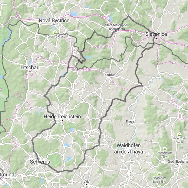
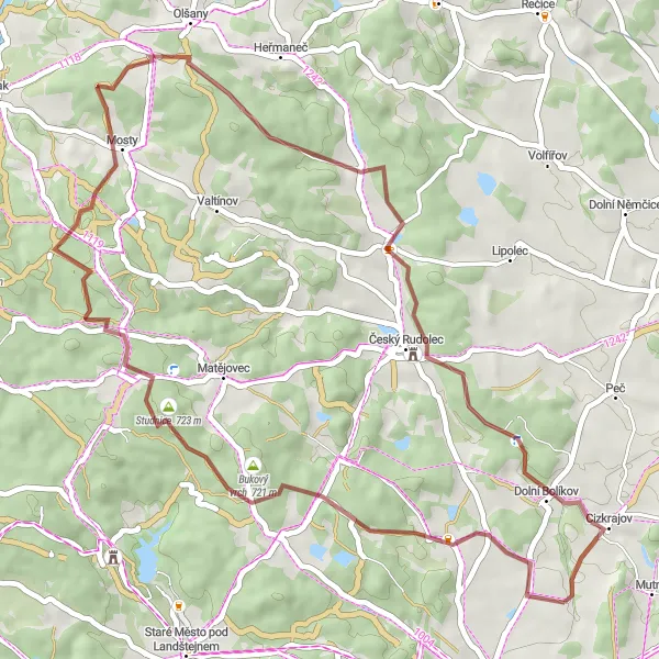
Discover the historical gems near Slavonice on this challenging road cycling route
Embark on a journey through time as you explore the charming town of Slavonice and cycle past medieval castles and picturesque landscapes. This route offers a mix of challenging climbs and scenic descents, making it perfect for experienced cyclists looking for an adventure. With an ascent of 984 meters and a distance of 96 kilometers, this ride will test your endurance and offer stunning views along the way.
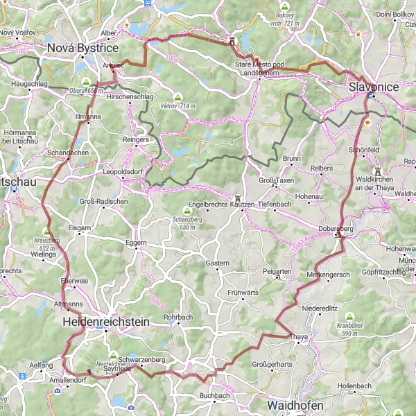
The Gravel Adventure
Explore the rugged beauty of the Czech Republic on this gravel cycling route
Leave the paved roads behind and venture into the untamed wilderness near Slavonice. This gravel route offers a mix of smooth gravel tracks and challenging terrain, making it perfect for adventure seekers. With an ascent of 1032 meters and a distance of 68 kilometers, this ride will test your skills and offer breathtaking scenery along the way.
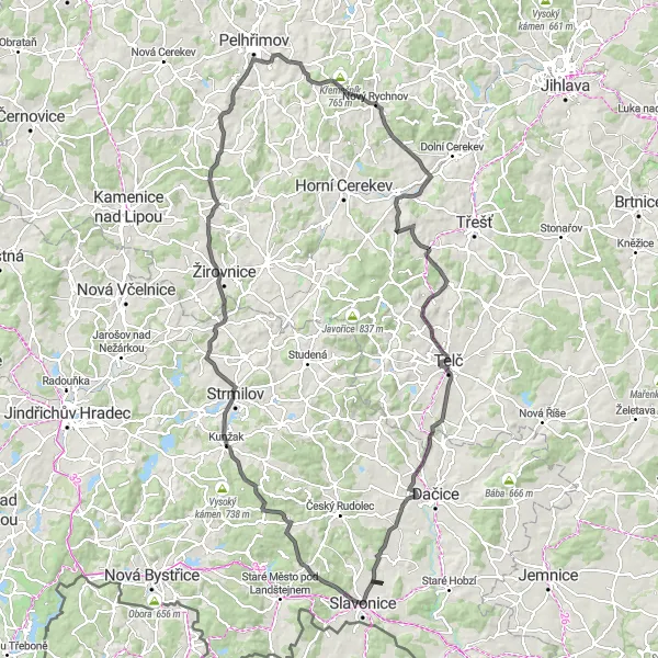
Embark on a challenging road cycling adventure through diverse landscapes near Slavonice
Get ready for an epic road cycling journey as you tackle challenging climbs, spirited descents, and stunning scenery near Slavonice. This route is not for the faint of heart, but it offers a truly rewarding experience for seasoned cyclists. With an ascent of 1703 meters and a distance of 131 kilometers, this ride will test your endurance and take you through a variety of landscapes, from rolling hills to dense forests.
Cycling routes nearby:

Nearby regions: