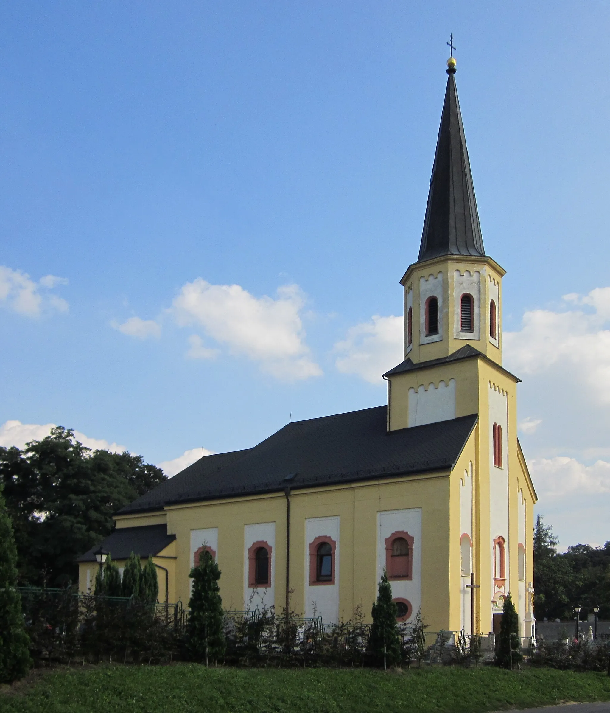
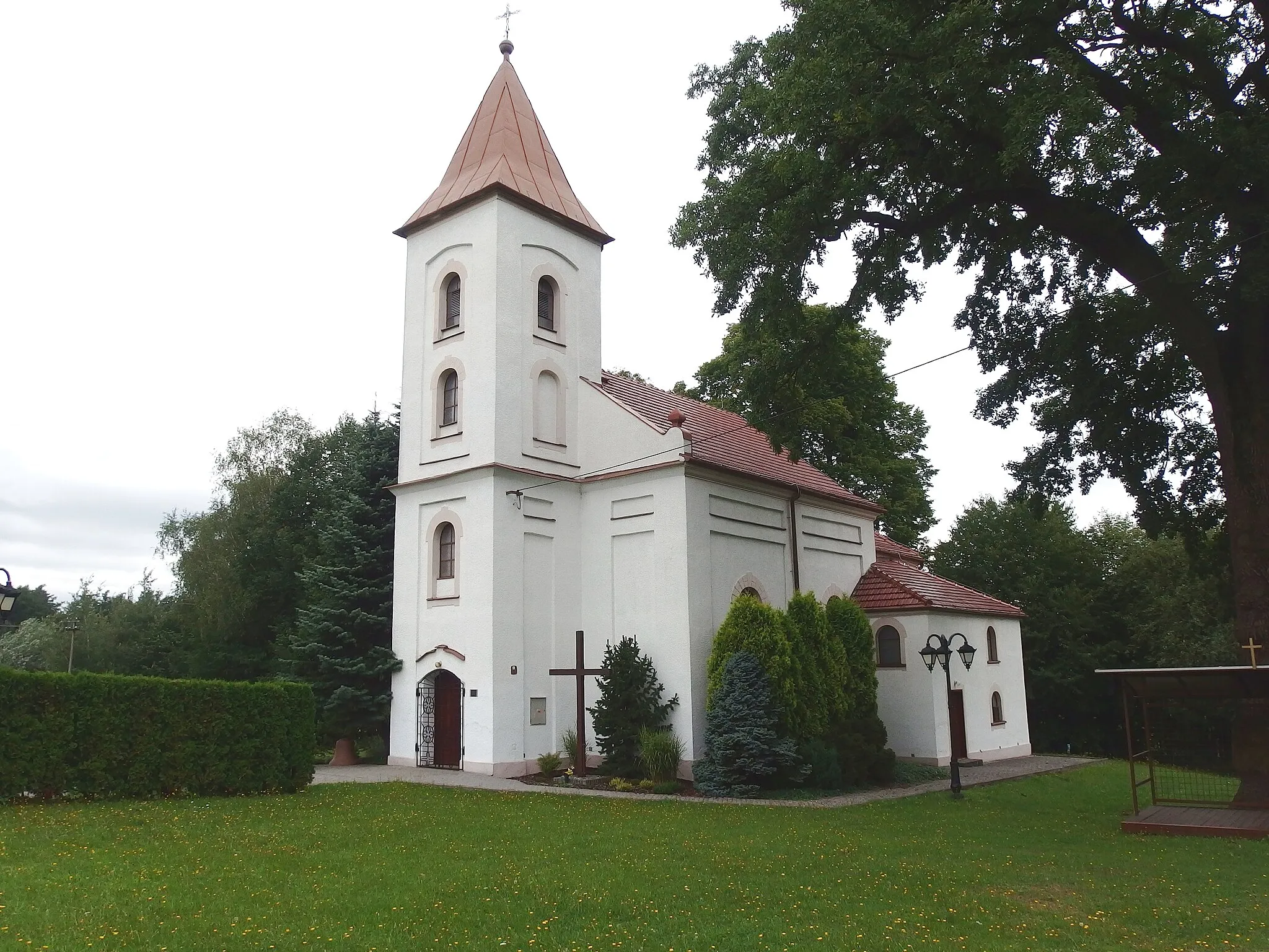
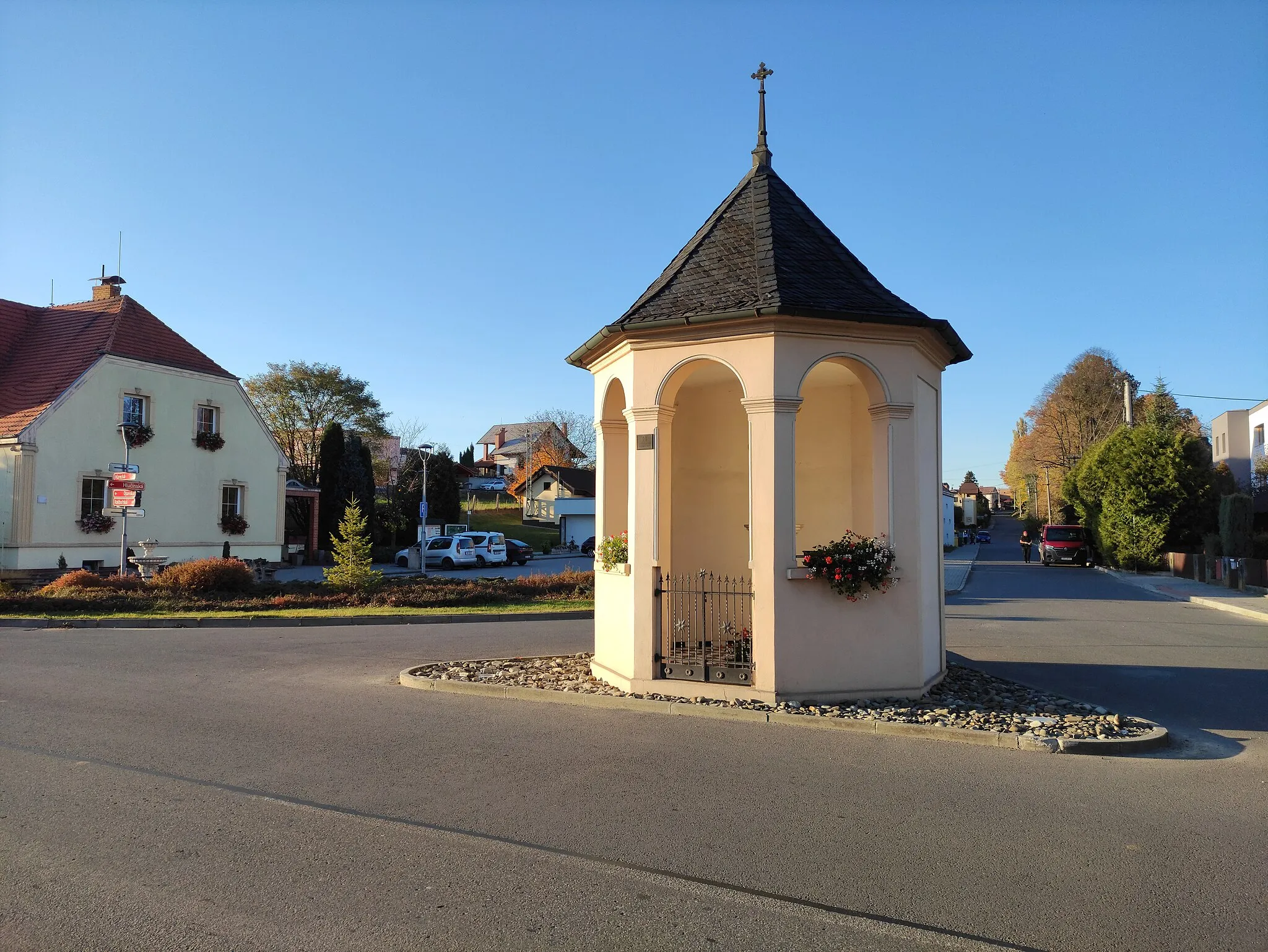
Peaceful locality with diverse cycling routes.
Cycling routes from Hat
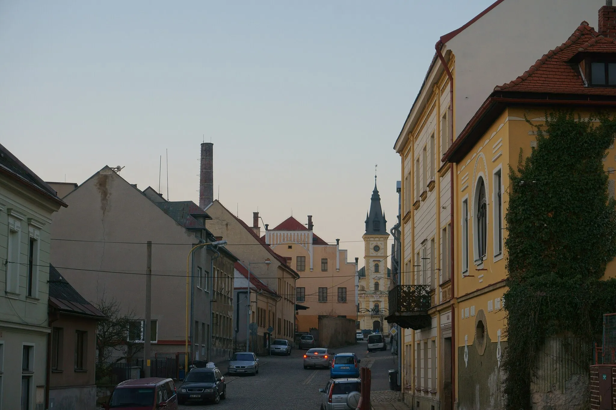
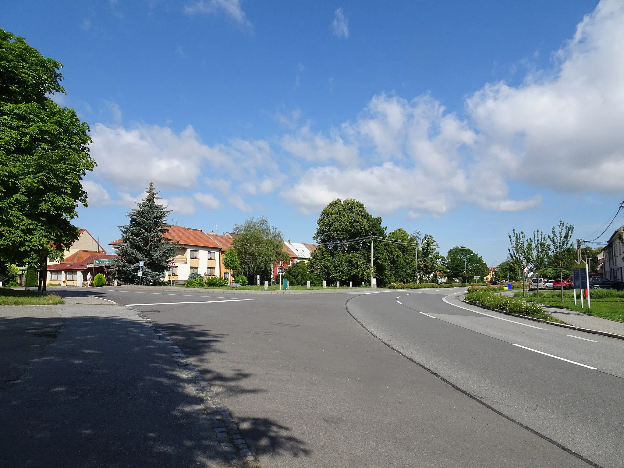
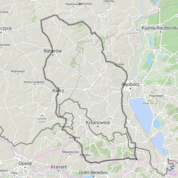
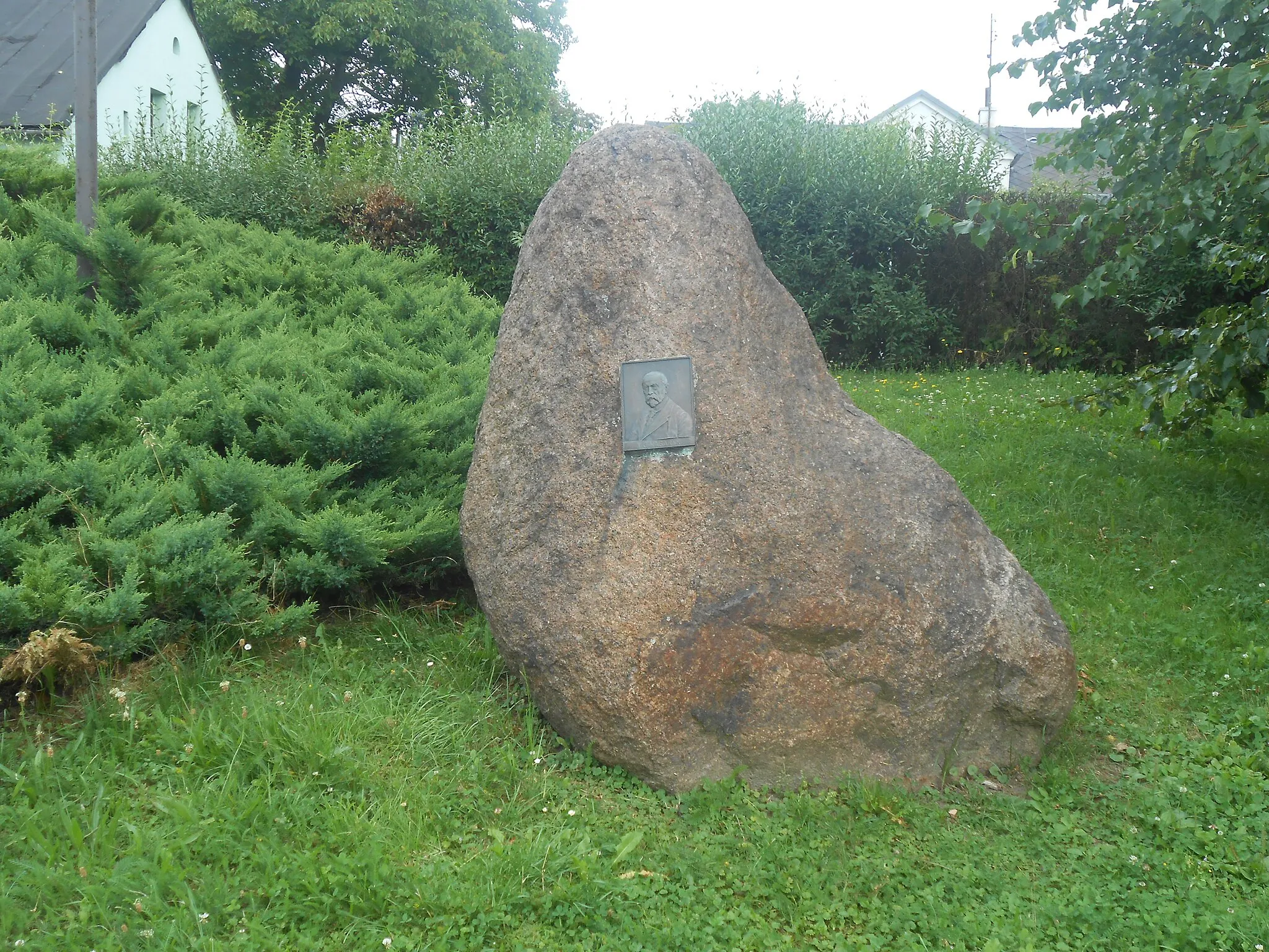
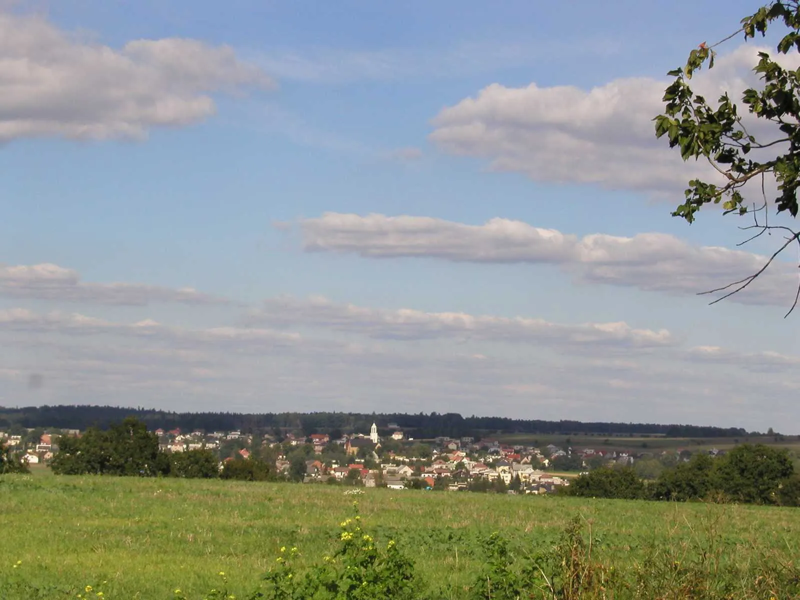
Hať is a small locality located in the Moravskoslezsko region of the Czech Republic. The area surrounding Hať offers a variety of cycling routes, suitable for both road and gravel cyclists. Cyclists can explore the rolling hills and quiet country roads that make up the local landscape, or venture further afield to discover the nearby forests and nature reserves. While Hať may not have any famous cycling spots or well-known climbs, its peaceful atmosphere and diverse cycling routes make it an appealing destination for cyclists of all levels.
Challenging Scenic Route
Embark on a challenging road ride through scenic landscapes
This 99-kilometer road route takes you on a challenging ride through stunning landscapes, with an elevation gain of 664 meters. From Bohuslavice to Sudół, you will encounter various terrains and breathtaking views. The difficulty level is 4, recommended for well-trained amateurs. The epicness rating is 3, offering a memorable journey. Highlights along the route include Bohuslavice, known for its fascinating history and cultural richness, Kobeřice with its charming atmosphere, and Radoszowy, where you can experience the natural beauty of the area.
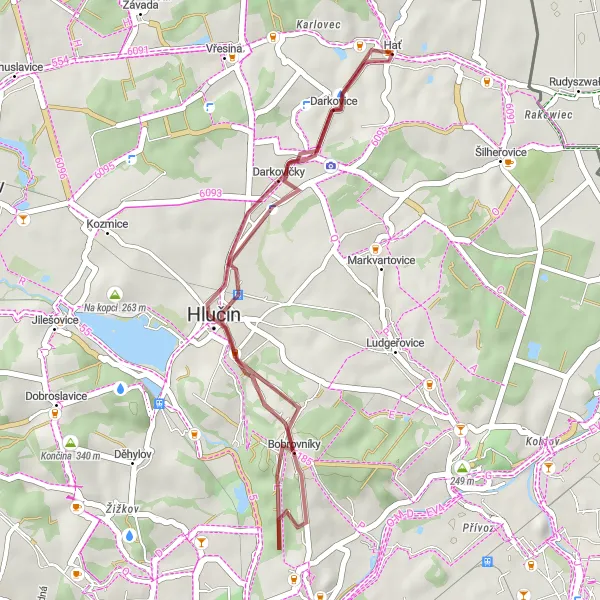
Gravel Paradise
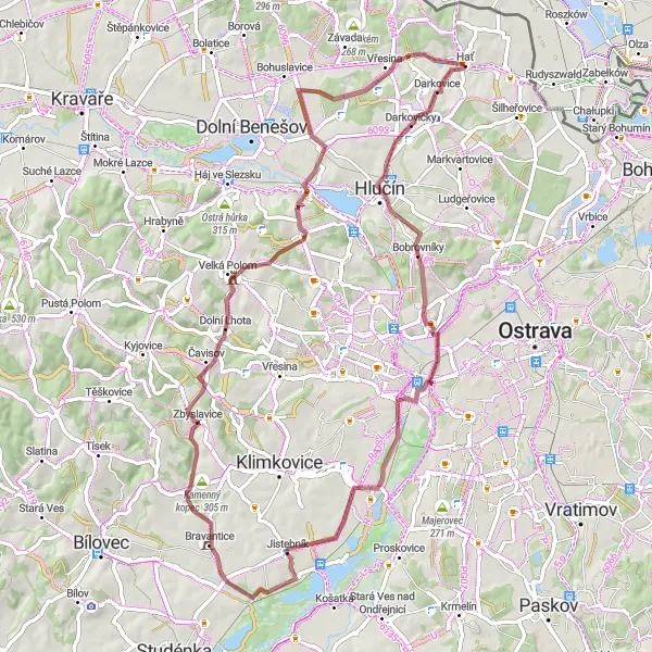
Get off the beaten path and explore the scenic gravel roads of Hať.
Escape the crowds and explore the hidden gems of Hať with this 71-kilometer gravel route. This adventure is designed for gravel enthusiasts looking for a mix of challenging terrain and breathtaking natural beauty. With an ascent of 663 meters, this route provides a good physical challenge for experienced cyclists. Highlights along the way include Darkovičky, Hladový vrch, Jistebník, Kamenný kopec, Zbyslavice, Dobroslavice, Na Strážné, and the starting point Hať. With a difficulty rating of 3 and an epicness rating of 3, this route offers a enjoyable and memorable cycling experience.
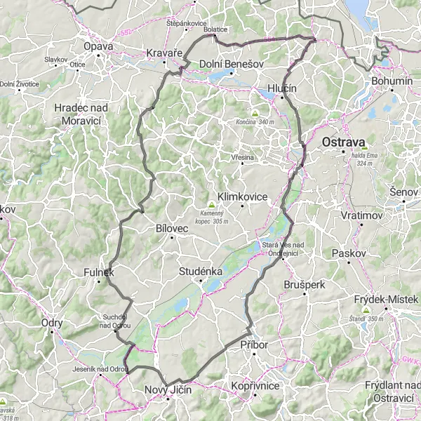
Embark on a challenging road ride through scenic hills and valleys
This route takes you through picturesque landscapes, climbing 1138 meters over a distance of 125 kilometers. The varied terrain offers stunning views, as you ascend from Darkovičky to the summit of Rozhledna Slatina. The difficulty level is 4, making it ideal for well-trained amateurs. The epicness rating is 4, making it an exciting journey for avid cyclists. Highlights along the route include Darkovičky, known for its charming architecture, Hladový vrch, offering panoramic views of the surroundings, and Peklisko, where you can admire the natural beauty of the region.
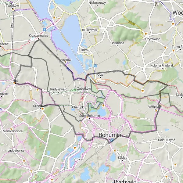
Exploring Hidden Trails
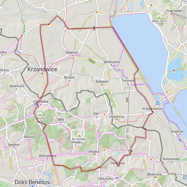
Venture off-the-beaten-path and discover hidden trails in the Hať region.
Step away from the tourist spots and delve into the hidden trails and beautiful landscapes of the Hať region with this 48-kilometer gravel route. Featuring a total ascent of 322 meters, this route provides a good challenge for intermediate cyclists. Explore the secluded beauty of Darkovice, Struhalův dub, Spichlerz, Krzyżanowice, and of course, Hať. With a difficulty rating of 2 and an epicness rating of 3, this route is perfect for cyclists looking for a mix of natural beauty and tranquility.
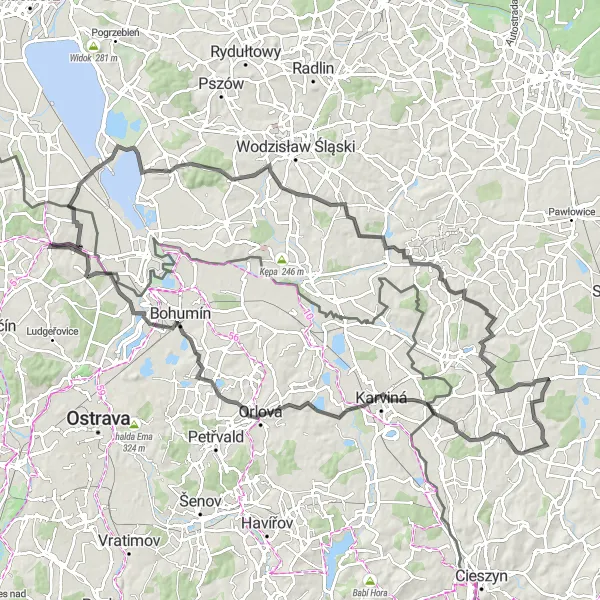
Embark on a road ride and discover the cultural gems of the region
Explore the cultural gems of the region on this 119-kilometer road ride, with an elevation gain of 862 meters. Immerse yourself in the rich history and architectural beauty of villages like Zabełków, Komorní Lhotka, and Šilheřovice. The difficulty level is 5, making it a challenge for experienced riders. The epicness rating is 4, ensuring a memorable journey. Highlights along the route include Zabełków, known for its historical charm, Chotěbuz, offering scenic views from its vantage point, and the Rothschildův empirový zámek, a magnificent castle showcasing architectural splendor.
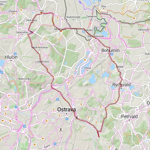
Exploring the Countryside
Embark on a scenic gravel ride through the picturesque countryside
This 28-kilometer gravel route takes you through the beautiful countryside, offering an elevation gain of 337 meters. The varied terrain and charming villages along the way provide a delightful cycling experience. The difficulty level is 3, making it suitable for intermediate cyclists. The epicness rating is 3, promising a rewarding adventure. Highlights along the route include Darkovičky, a village with unique architectural features, Bobrovníky, where you can explore its historical landmarks, and Hať, a tranquil spot where you can enjoy the peacefulness of the countryside.
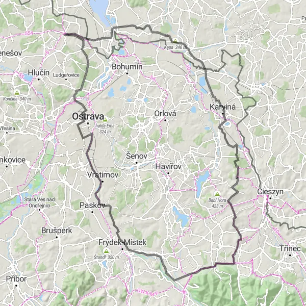
Explore the stunning scenery and charming villages of the Czech-Polish border.
Embark on a cycling adventure along the picturesque Czech-Polish border that takes you through beautiful landscapes, charming villages, and historic sites. This 105-kilometer road route offers a challenging but rewarding experience for cyclists of all levels. As you pedal your way through the rolling hills, you'll be treated to breathtaking views, including an impressive 722-meter ascent. Don't miss highlights like Krzyżanowice, Kamieniec, Ruptawa, Pruchna, Kończyce Wielkie, Rychvald, and Antošovice, each offering their own unique attractions. With a difficulty rating of 4 and an epicness rating of 4, this route is perfect for well-trained amateurs looking for an adventurous cycling experience.
Take a leisurely ride along quiet country roads and discover rural beauty.
If you're looking for a peaceful and relaxing cycling experience, this 43-kilometer road route is perfect for you. Pedal along quiet country roads and take in the scenic beauty of the surrounding countryside. With only 185 meters of ascent, this route is suitable for cyclists of all levels. Highlights along the way include Poddębina, Skřečoň, Antošovice, and Kolekcja Maszyn Rolniczych. With a difficulty rating of 1 and an epicness rating of 2, this route offers a pleasant and low-intensity cycling experience.
Gravel Adventure

Embark on a thrilling gravel adventure through diverse landscapes
This gravel route covers a distance of 31 kilometers and offers an elevation gain of 163 meters. Suitable for off-road enthusiasts, it allows you to explore intriguing destinations like Krzyżanowice and Darkovice. With a difficulty level of 2, it is accessible to a wide range of cyclists. The epicness rating is 3, providing an exhilarating experience. Highlights along the route include the village of Krzyżanowice, known for its historical landmarks, and Darkovice, offering a unique charm and stunning natural surroundings.
Discover the natural beauty and historical landmarks of the Czech-Polish borderlands.
Immerse yourself in the rich history and stunning landscapes of the Czech-Polish borderlands with this 48-kilometer gravel route. As you pedal through both Czech and Polish villages, you'll have the opportunity to admire beautiful scenery and learn about the shared heritage of the region. Highlights of this route include Chałupki, Rychvald, Slezskoostravský hrad, Vyhlídková plošina, and of course, Hať. With a difficulty rating of 2 and an epicness rating of 2, this route is suitable for cyclists of all levels who are looking for a enjoyable and informative cycling experience.
Cycling routes nearby:


Nearby regions: