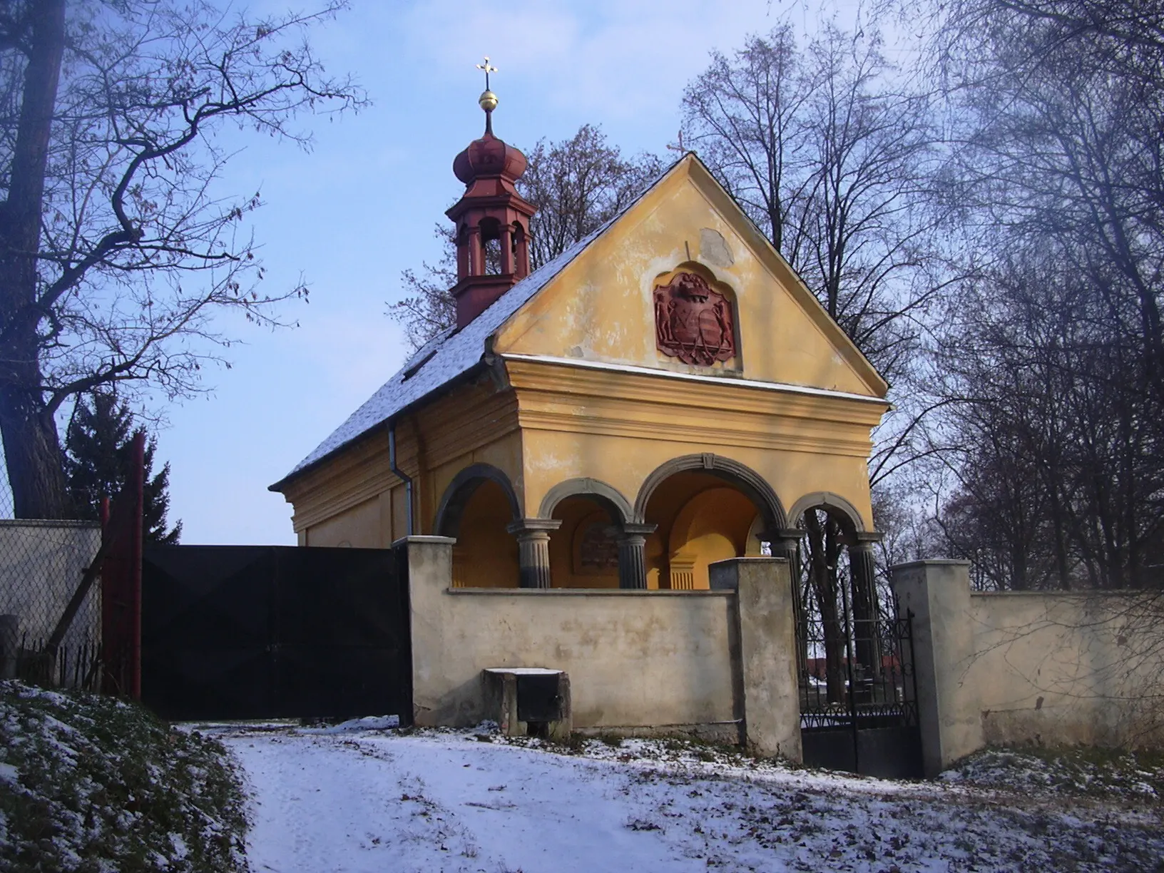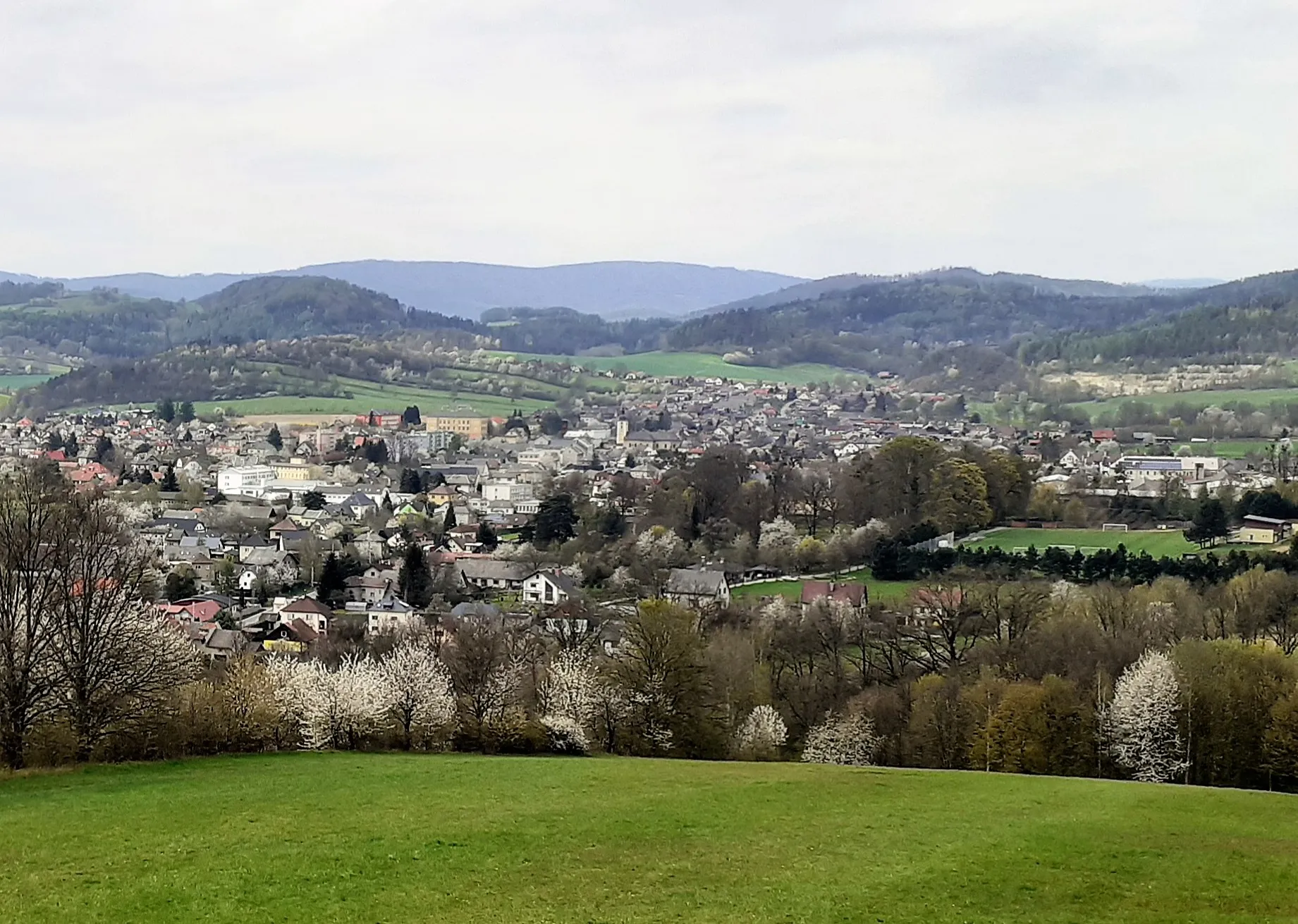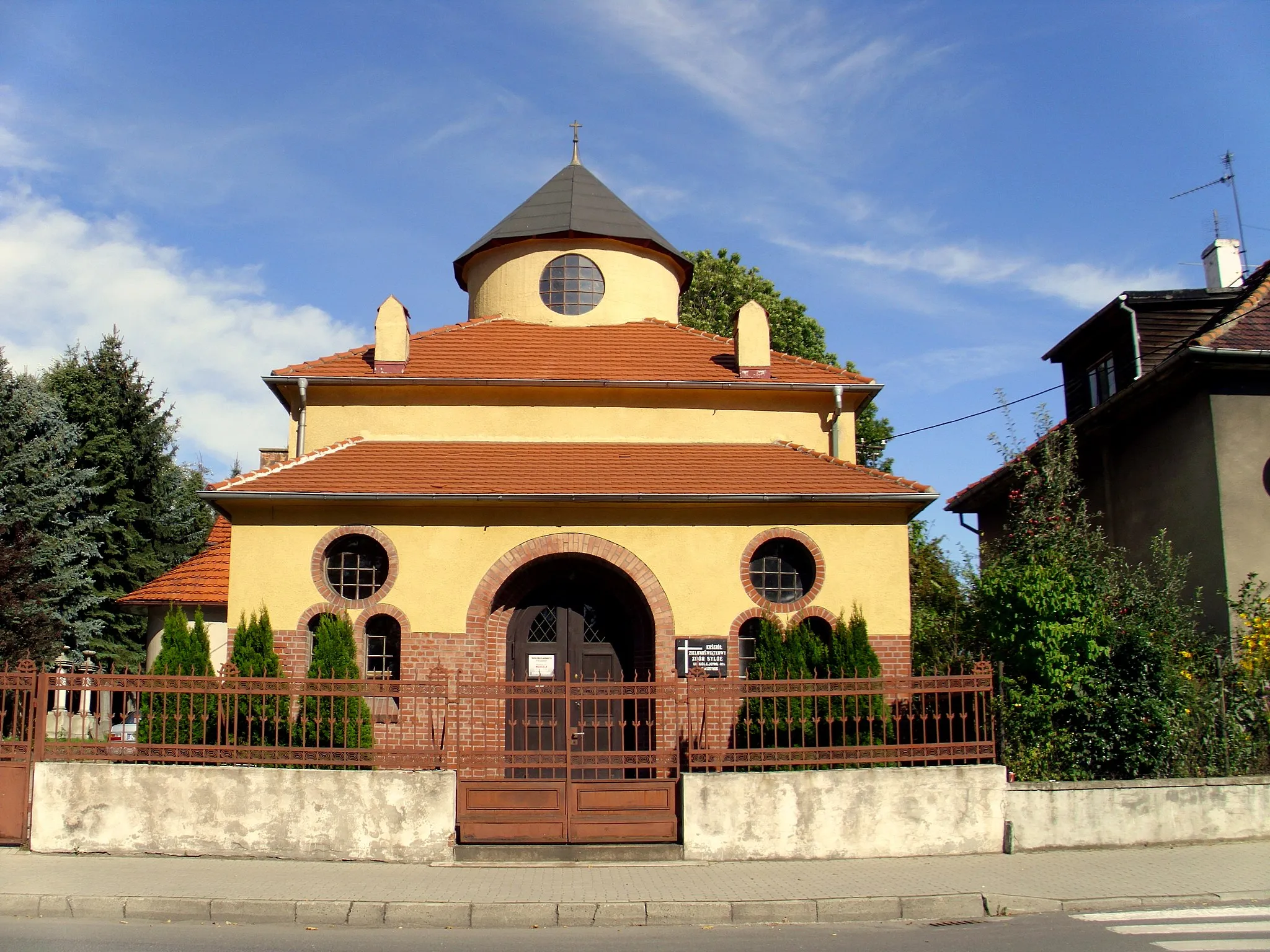
Enjoy peaceful rides in the picturesque region of Horní Benešov.
Cycling routes from Horni Benesov
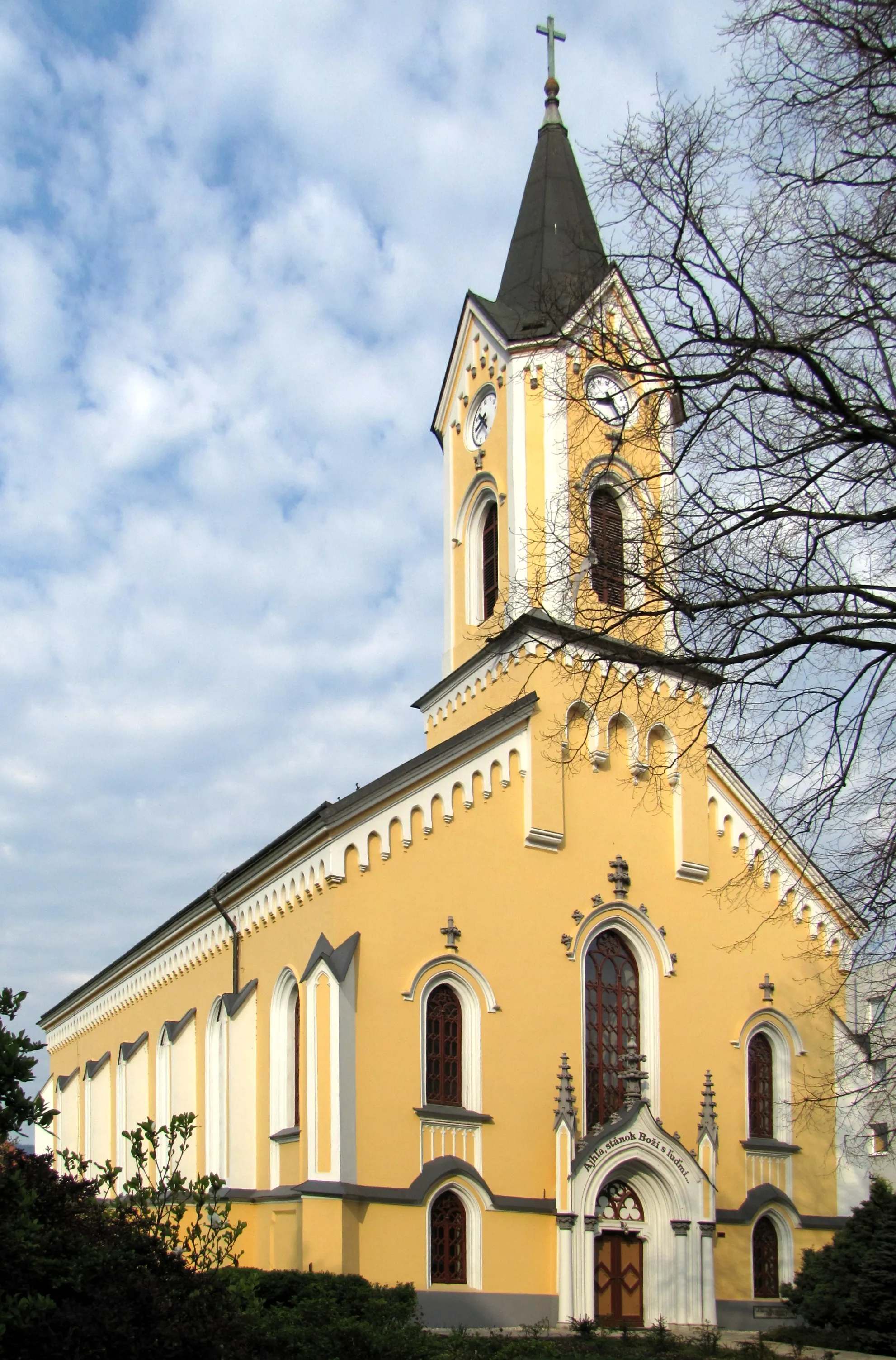
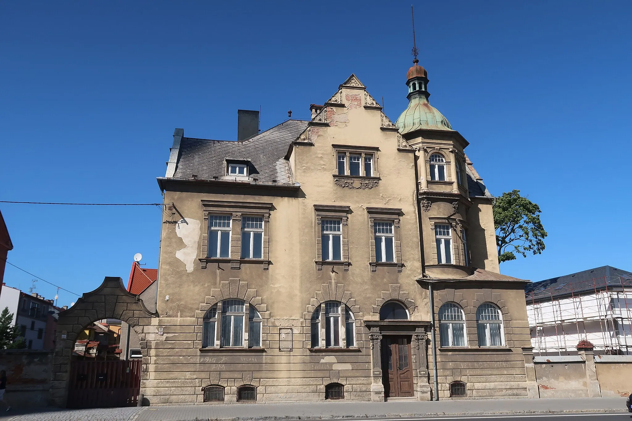
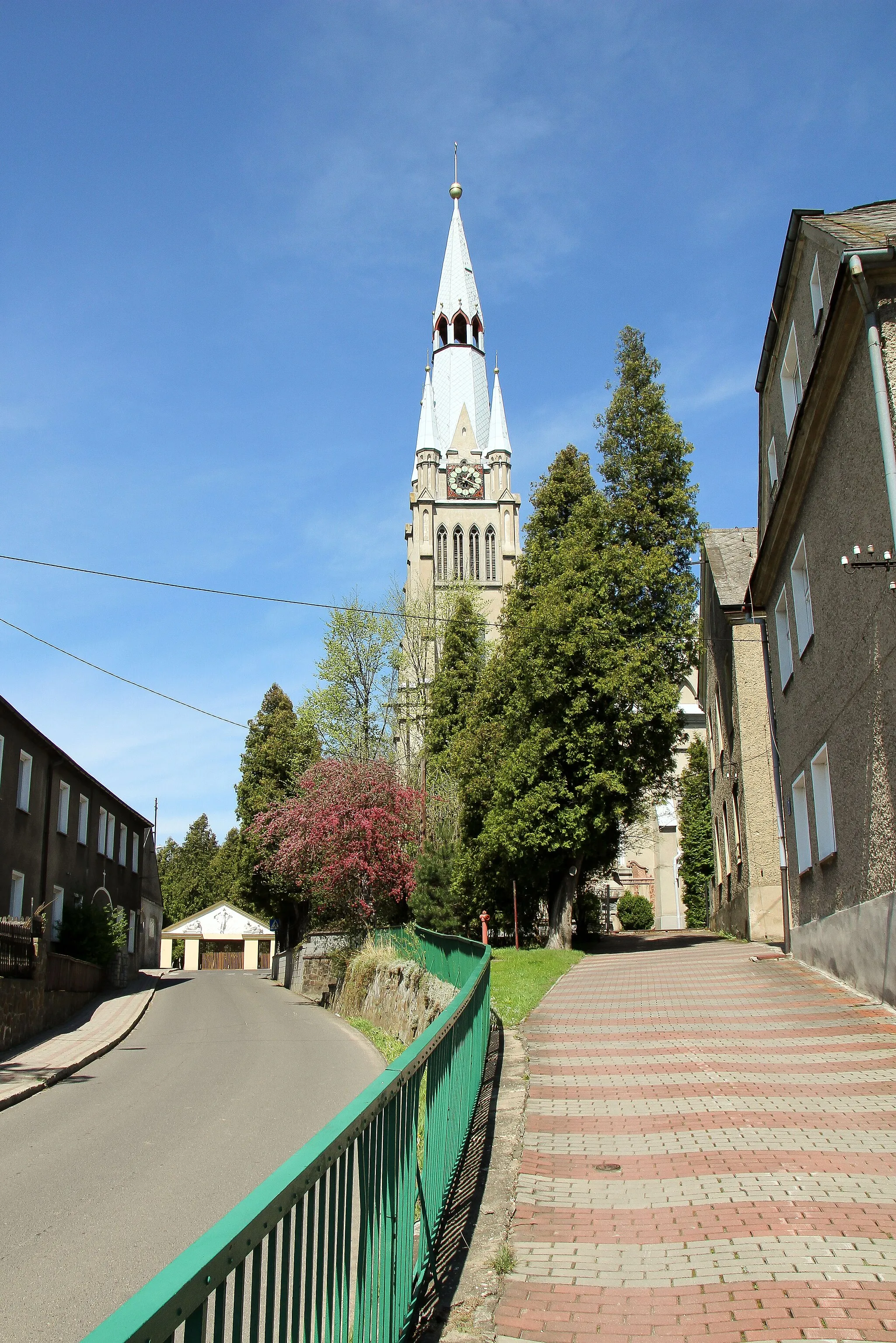
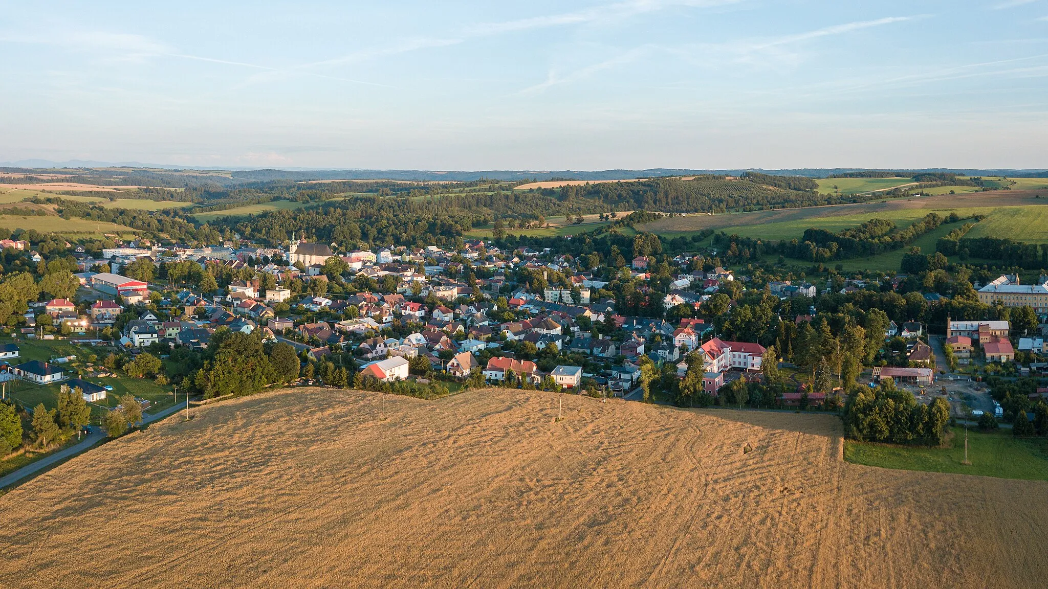
Horní Benešov is a small locality in Moravskoslezsko, Czech Republic, that provides a good cycling experience. The roads in the area are generally well-maintained and suitable for road and gravel cyclists. Horní Benešov is located in a picturesque region with rolling hills and charming villages, providing beautiful views while riding. While there are no famous cycling spots or well-known climbs in the immediate vicinity, cyclists can explore the region and enjoy scenic rides. Overall, Horní Benešov is an excellent destination for cyclists looking for a peaceful and scenic cycling experience.
Gravel Adventure
Embark on an exciting gravel adventure through the stunning landscapes
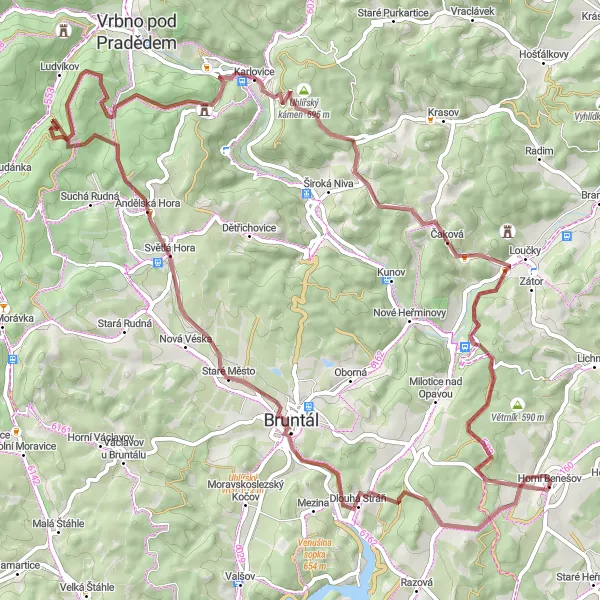
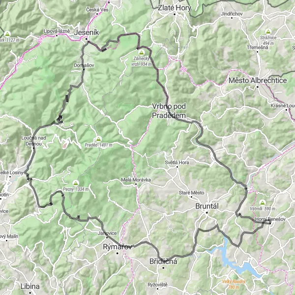
Get ready for an epic gravel adventure through the stunning landscapes near Horní Benešov. This 76-kilometer route offers a mix of challenging terrain and breathtaking views. With an elevation gain of 1579 meters, it is suitable for experienced gravel cyclists looking for an adrenaline rush. Highlights along the route include the Dlouhá Stráň hill, known for its steep climbs and thrilling descents, and the Světlá Hora viewpoint, offering panoramic views of the surrounding countryside. Prepare to push your limits and experience the thrill of conquering this gravel adventure.
Moravské Zrubánky Trail
Embark on an adventure along the Moravské Zrubánky Trail and explore the unique wooden architecture of Moravia.
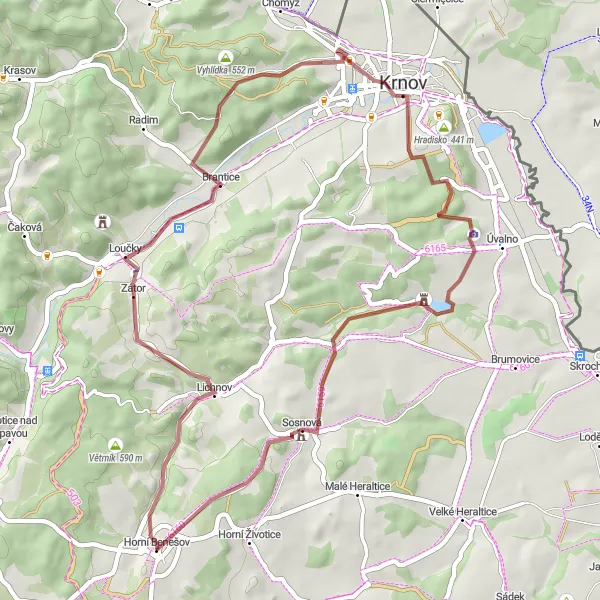
The Moravské Zrubánky Trail is a gravel cycling route that takes you through the picturesque countryside near Horní Benešov in Moravskoslezsko, Czech Republic. With a total ascent of 698 meters and a distance of 47 kilometers, this trail is suitable for gravel cycling enthusiasts. Along the way, you will encounter traditional wooden houses, peaceful nature areas, and charming villages.
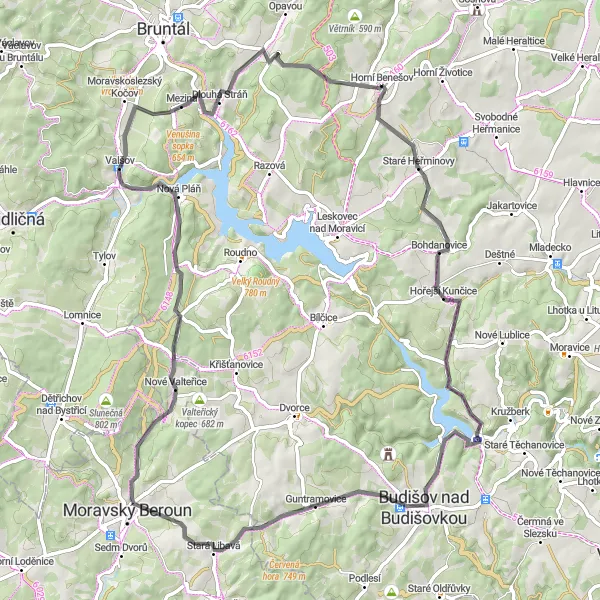
Fascinating cycling route around the Beskydy mountains
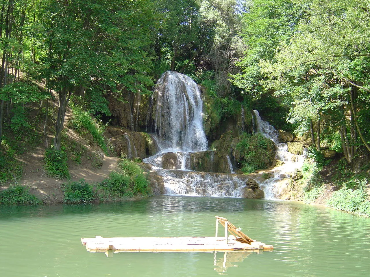
This challenging cycling route takes you on a journey around the beautiful Beskydy mountains. With a distance of 123 kilometers and an elevation gain of 2245 meters, it is perfect for well-trained amateur cyclists looking for an exhilarating adventure. The route starts near Horní Benešov and takes you through picturesque villages and breathtaking scenery. Highlights along the route include the Nad rychtou viewpoint, offering stunning panoramic views, the spectacular Velký vodopád waterfall, and the Červenohorské sedlo mountain pass. Prepare to be amazed by the natural beauty and unique landscapes of this epic cycling route.
Praděd Circuit
Embark on a challenging gravel circuit around Mount Praděd and experience the beauty of the surrounding landscapes.
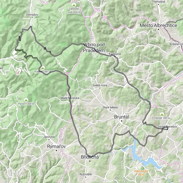
The Praděd Circuit is a gravel cycling route that takes you on a challenging adventure around Mount Praděd in Moravskoslezsko, Czech Republic. With a total ascent of 1585 meters and a distance of 95 kilometers, this trail is best suited for experienced gravel cyclists. Along the way, you will encounter breathtaking mountain vistas, traditional villages, and tranquil nature areas.
Tržištěví Trail
Experience a gravel adventure along the Tržištěví Trail and discover the hidden gems of Moravskoslezsko.
The Tržištěví Trail takes you on a gravel cycling adventure through the beautiful region of Moravskoslezsko, Czech Republic. With a total ascent of 741 meters and a distance of 48 kilometers, this trail provides a moderate challenge for gravel enthusiasts. Along the way, you will encounter unique landmarks, scenic viewpoints, and charming villages.
Gravel Loop
Venture on an adventurous gravel loop through diverse terrains
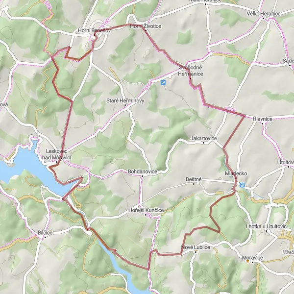
Gear up for an adventurous gravel loop through diverse terrains near Horní Benešov. This 50-kilometer route offers a mix of gravel paths and challenging climbs. With an elevation gain of 752 meters, it is suitable for intermediate gravel cyclists looking for a thrilling ride. Highlights along the route include the Jezdkovice viewpoint, offering panoramic views of the landscape, and the scenic town of Deštné. Embark on a gravel riding experience that will push your limits and showcase the natural beauty of the region.
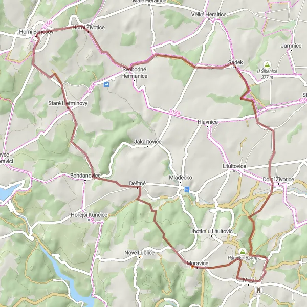
Explore the charming countryside on this picturesque cycling route
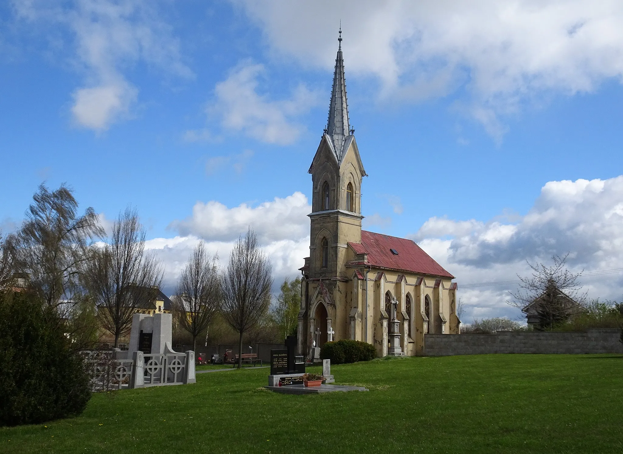
Discover the beauty of the countryside on this picturesque cycling route near Horní Benešov. With a distance of 77 kilometers and an elevation gain of 1166 meters, it is perfect for amateur cyclists looking for a scenic adventure. Highlights along the route include the Mlžný kopec viewpoint, offering panoramic views of the surrounding landscapes, and the historic town of Bohdanovice. Immerse yourself in the peacefulness of the countryside as you pedal through picturesque villages and rolling hills.
Ride along gently rolling hills and beautiful countryside to exlore the outskirts of Rychvald and Panorama hills
The Rychvald-Panorama route takes you through picturesque landscapes and rolling hills near Horní Benešov in Moravskoslezsko, Czech Republic. With a total ascent of 2413 meters and a distance of 157 kilometers, this road cycling route is suitable for well-trained amateurs. The route offers stunning views and a variety of highlights along the way.
Benčovsko-Brovary
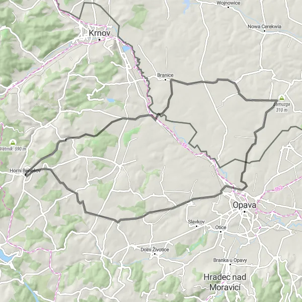
Explore the scenic countryside around Horní Benešov and visit the charming villages of Benčovsko and Brovary.
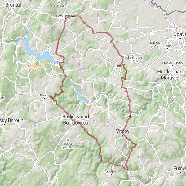
The Benčovsko-Brovary route offers a delightful cycling experience through the beautiful countryside near Horní Benešov in Moravskoslezsko, Czech Republic. With a total ascent of 539 meters and a distance of 68 kilometers, this road cycling route is suitable for cyclists of moderate fitness. Along the way, you will encounter picturesque villages, historic landmarks, and stunning natural landscapes.
Experience the serenity of the countryside on this peaceful cycling route
Escape the hustle and bustle of city life on this tranquil cycling route. With a distance of 44 kilometers and a gentle elevation gain of 532 meters, it is suitable for cyclists of all levels. Starting near Horní Benešov, you will cycle through picturesque villages and enjoy the beauty of the surrounding nature. Highlights along the route include the Anenský vrch viewpoint, offering panoramic views of the countryside, and the charming village of Bratříkovice. Immerse yourself in the peace and quiet of the countryside as you pedal through this serene landscape.
Cycling routes nearby:

Nearby regions: