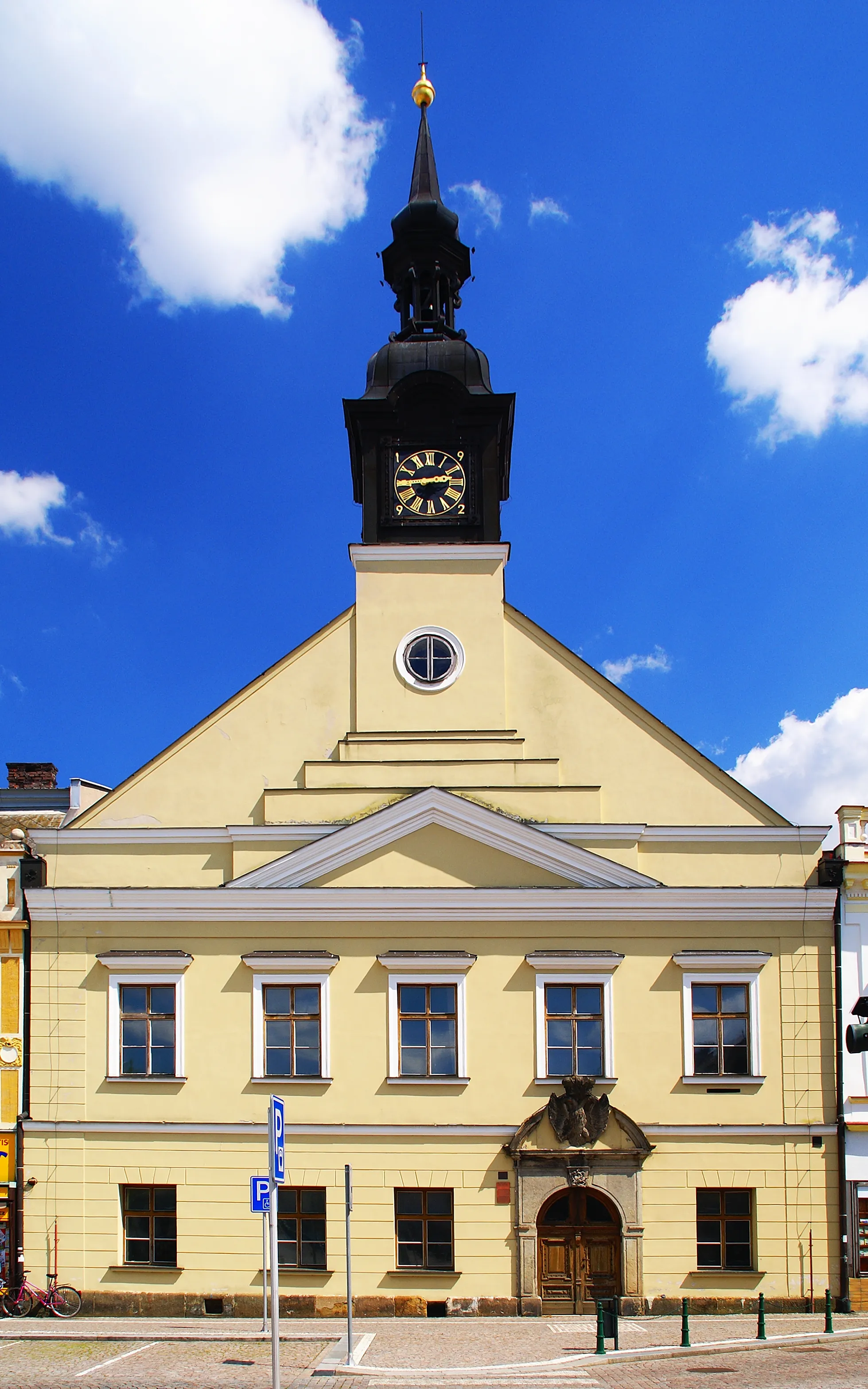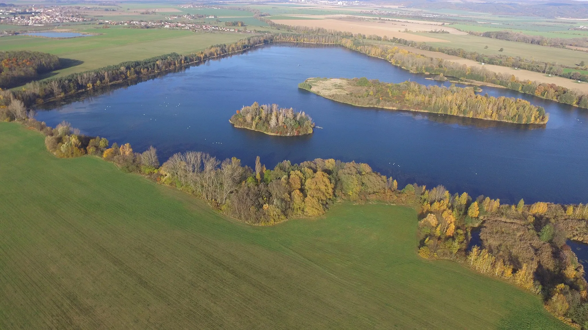
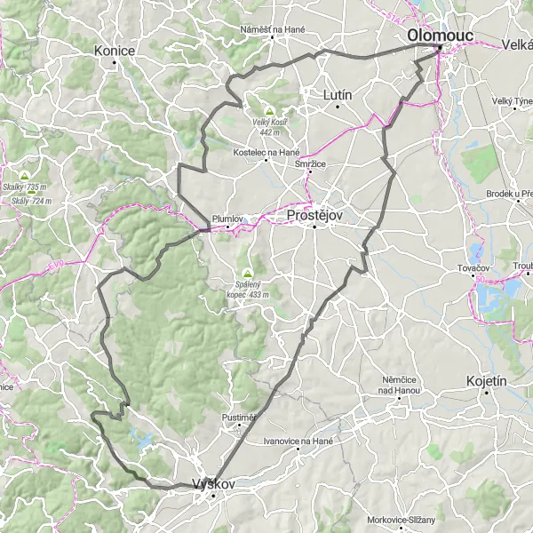
Vibrant city with diverse cycling routes and historical attractions in Olomouc.
Cycling routes from Olomouc
Olomouc, located in the Střední Morava region of the Czech Republic, is a vibrant city that caters to the needs of both road and gravel cyclists. With its well-maintained cycling infrastructure and numerous cycling routes, Olomouc is a great base for exploring the surrounding countryside. The region offers a variety of terrain, including rolling hills and flat sections, ensuring suitable rides for all levels of cyclists. Olomouc itself is known for its historical sites and cultural attractions, making it an exceptional destination for combining cycling with tourism.
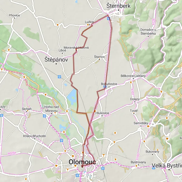
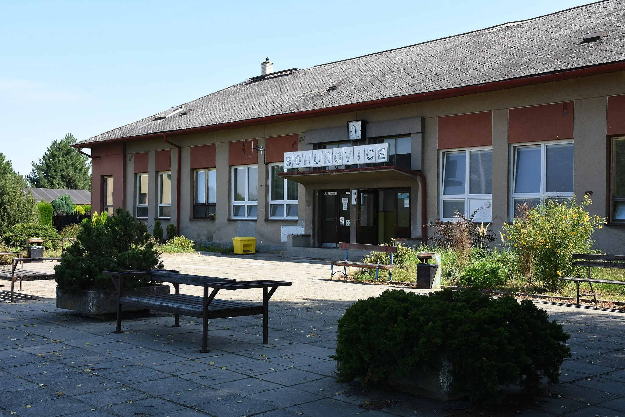
Embark on an off-road cycling adventure to the picturesque village of Bohuňovice.
This gravel route takes you on a thrilling journey through the countryside, leading to the idyllic village of Bohuňovice. With a distance of 36 kilometers and a mild ascent of 66 meters, this route is suitable for gravel enthusiasts looking for a shorter but enjoyable ride.
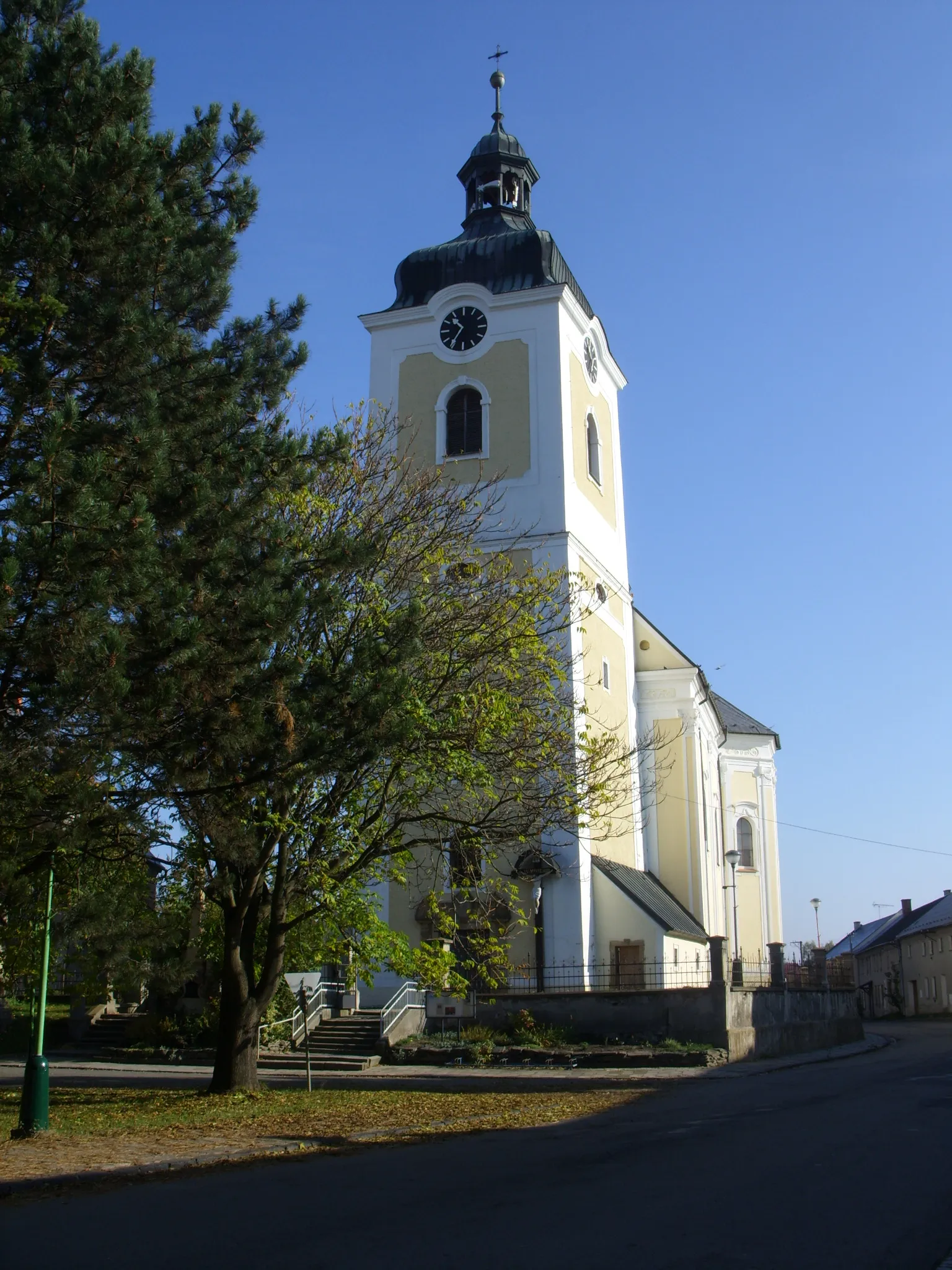
Tučapy Exploration
Embark on a gravel adventure exploring the scenic countryside near Tučapy.
The Tučapy Exploration is a gravel cycling route that takes you through the scenic countryside near Tučapy. With a total distance of 54 kilometers and an ascent of 159 meters, this route offers a moderate yet rewarding experience for cyclists. Along the way, you'll encounter highlights such as the picturesque Tučapy, the charming Klopotovice, and the historic Čelčice. These landmarks provide a glimpse into the region's history and offer captivating views of the surrounding landscape. With a difficulty rating of 3 and an epicness rating of 3, the Tučapy Exploration is ideal for cyclists looking for a mix of nature and culture.
Lutín Challenge
Conquer the Lutín Challenge, a demanding road route that tests cyclists' stamina and skills.
The Lutín Challenge is a demanding road route that takes you through varied terrain and beautiful scenery. With a distance of 72 kilometers and a challenging ascent of 668 meters, this route is suitable for experienced cyclists looking for an intense physical and mental workout.

Uncover the hidden gems of Drahanovice while cycling through this gravel route.
This scenic gravel route takes you through the charming town of Drahanovice, surrounded by beautiful countryside and idyllic landscapes. With a distance of 46 kilometers and an ascent of 299 meters, this route offers a moderate-level challenge for gravel enthusiasts seeking adventure.
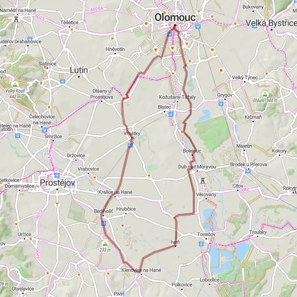
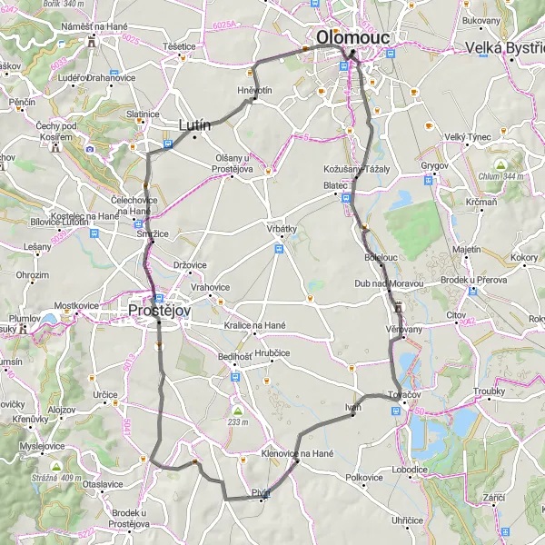
Nenakonice Adventure
Embark on an exciting gravel adventure through the countryside near Olomouc.
The Nenakonice Adventure is a gravel cycling route that takes you through the beautiful countryside near Olomouc. With a total distance of 40 kilometers and an ascent of 95 meters, this route offers a relatively easy but enjoyable experience for cyclists. Along the way, you'll encounter highlights such as the vibrant city of Olomouc itself, the scenic Nenakonice, and the charming Majetín. These landmarks provide a mix of urban and rural scenery, showcasing the diverse beauty of the region. With a difficulty rating of 2 and an epicness rating of 3, the Nenakonice Adventure is perfect for those looking to explore the countryside and experience the charm of small Czech villages.
Kaple Loop
Embark on a scenic cycling adventure to the beautiful Kaple near Olomouc.
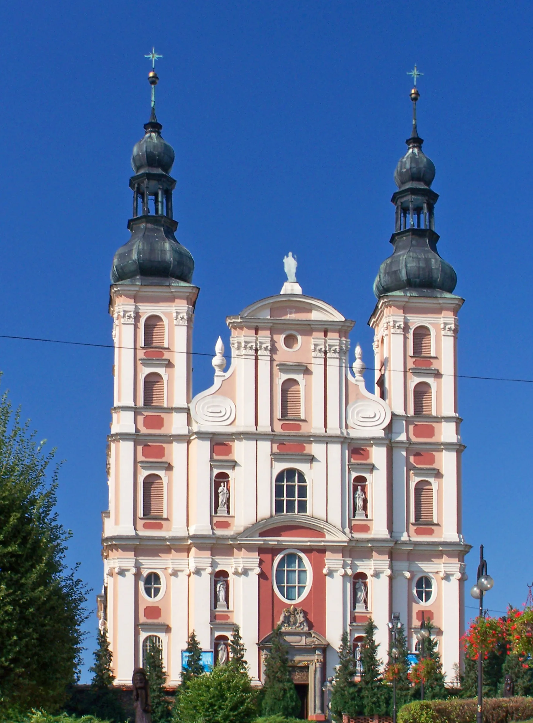
The Kaple Loop is a road cycling route that takes you through the stunning countryside near Olomouc. With a total distance of 72 kilometers and an ascent of 580 meters, this route offers a moderate yet enjoyable experience for cyclists of all levels. Along the way, you'll encounter highlights such as the charming Kaple, the serene Nová Dědina, and the picturesque Bílsko. These landmarks provide scenic views and a refreshing break from the ride. With a difficulty rating of 3 and an epicness rating of 3, the Kaple Loop is perfect for cyclists looking for a peaceful and scenic adventure.
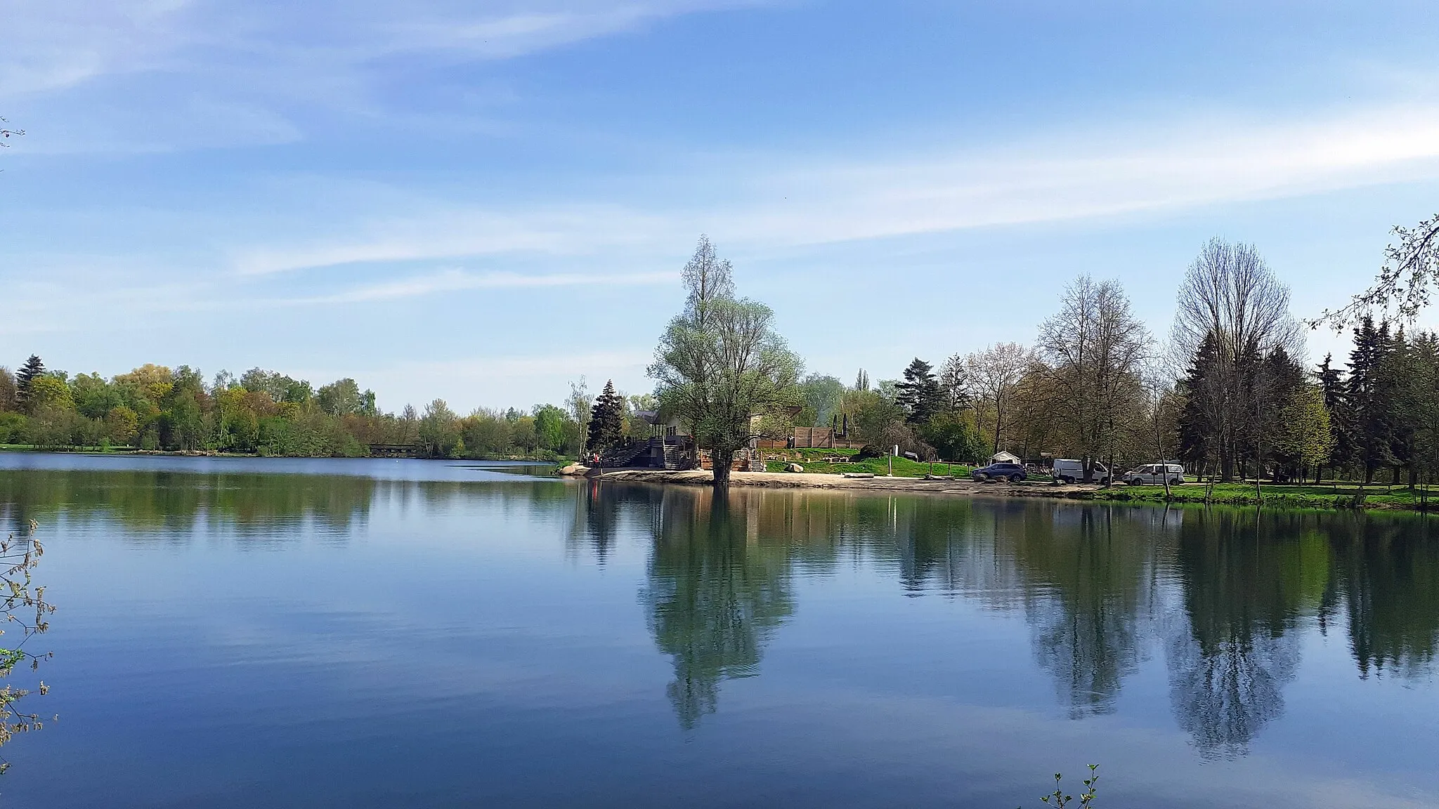
The Bečva River Loop
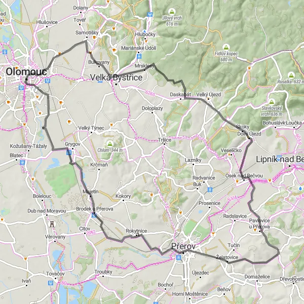
Discover the beautiful Bečva River on this scenic cycling route near Olomouc.
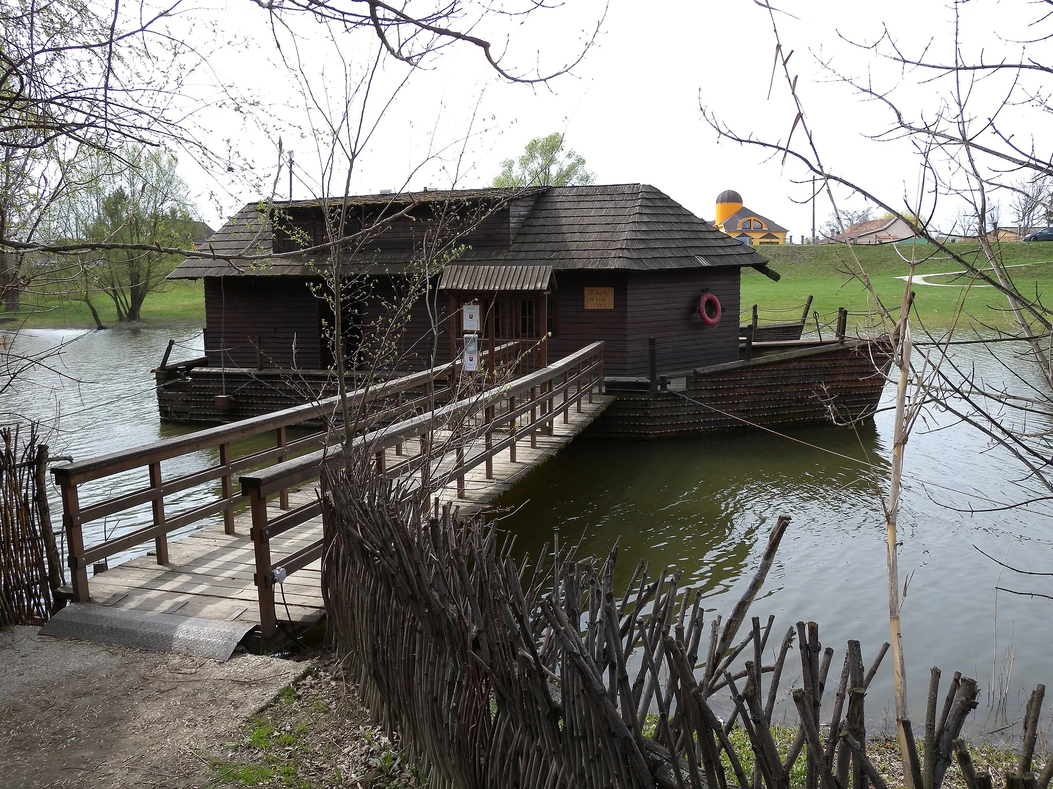
This route takes you along the Bečva River, offering breathtaking views of the surrounding countryside. You'll pass through picturesque towns such as Osek nad Bečvou, Želatovice, and Majetín before returning to Olomouc. With a total distance of 81 kilometers and an ascent of 481 meters, this route is suitable for moderate-level cyclists.
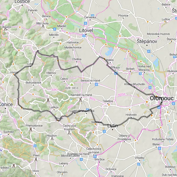
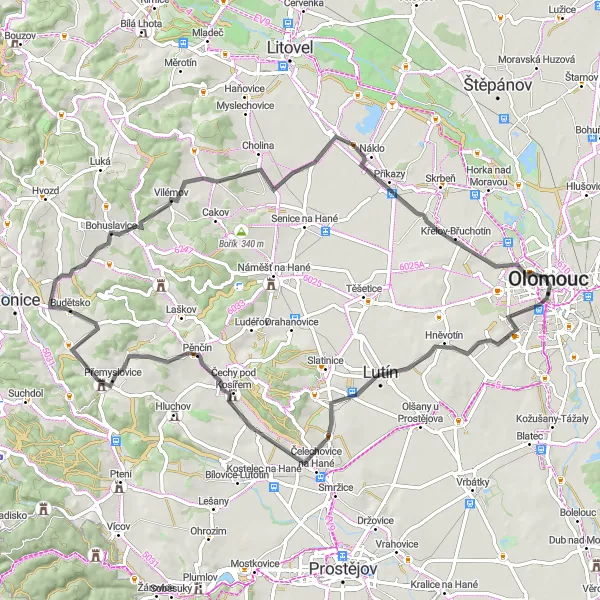
Exploring Haná Region
Embark on a scenic cycling journey through the enchanting Haná Region.
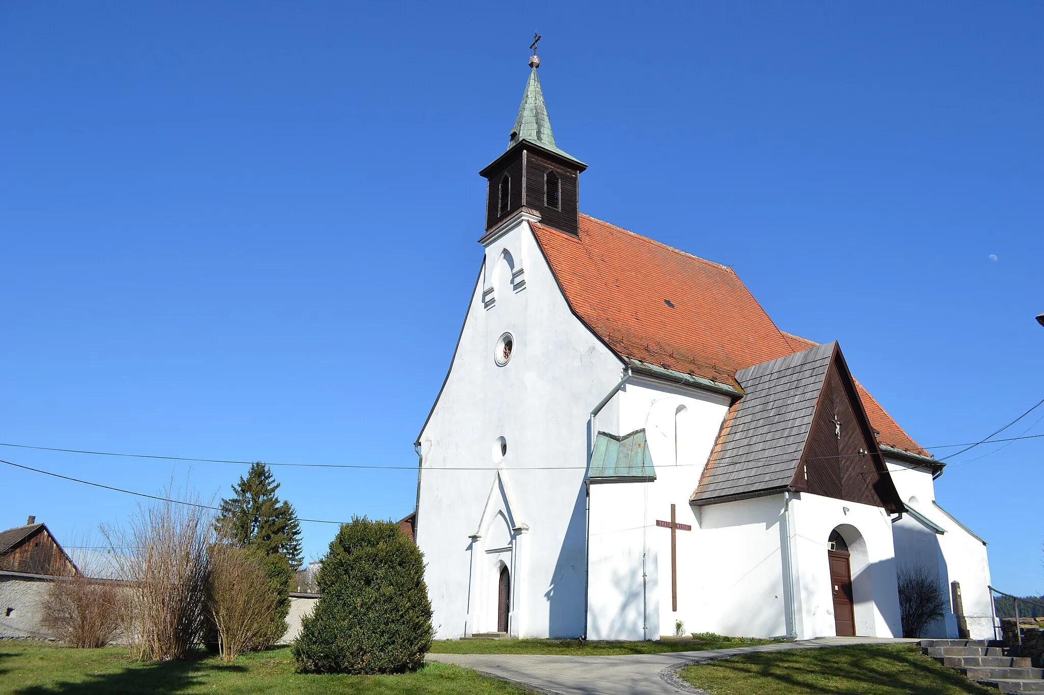
This road route takes you through the captivating Haná Region, renowned for its picturesque landscapes and charming towns. With a total distance of 70 kilometers and an ascent of 378 meters, this route provides a moderate challenge for road cyclists looking to explore the area's cultural and natural highlights.
Bystročice Loop
Discover the charming village of Bystročice on this scenic cycling route near Olomouc.
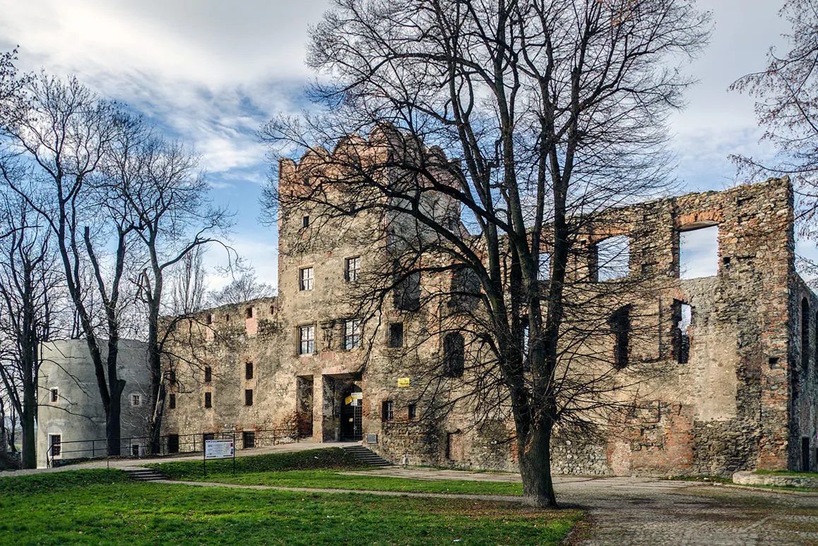
The Bystročice Loop is a road cycling route that takes you through the picturesque countryside near Olomouc. With a total distance of 126 kilometers and an ascent of 1265 meters, this route offers a challenging yet rewarding experience for well-trained amateurs. Along the way, you'll encounter highlights such as the unique Brodek u Prostějova, the historic Ježkovice, and the powerful Památník konce II. světové války. These landmarks provide fascinating insights into the region's history and culture. With a difficulty rating of 4 and an epicness rating of 4, the Bystročice Loop is a must-try for cycling enthusiasts looking for a memorable adventure.
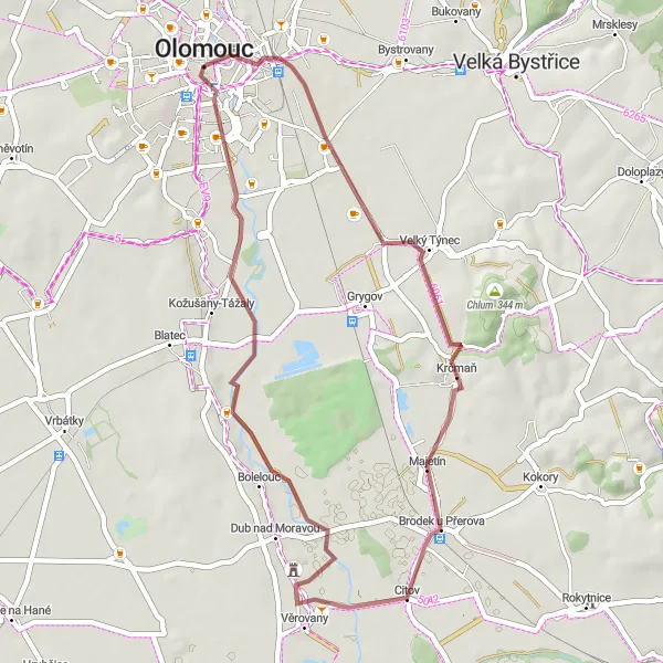
Olomouc Gravel Adventure
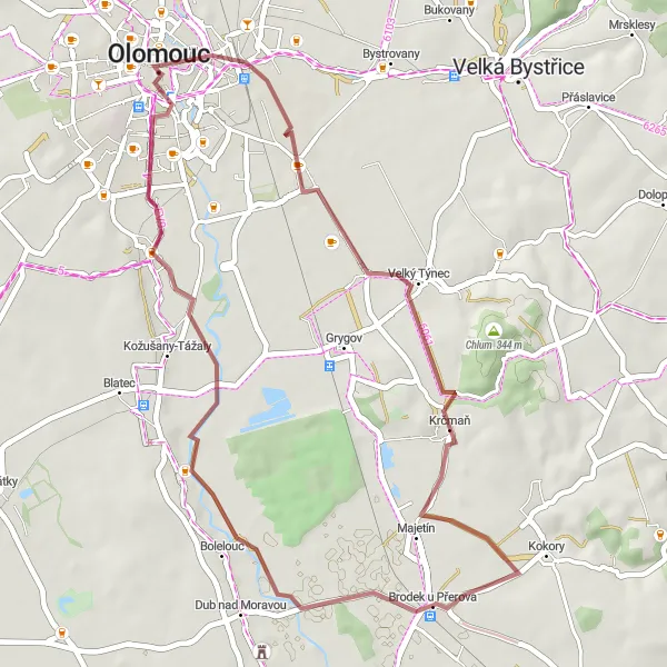
Embark on a gravel adventure exploring the outskirts of Olomouc.
The Olomouc Gravel Adventure is a gravel cycling route that takes you on a unique journey through the outskirts of Olomouc. With a total distance of 40 kilometers and an ascent of 115 meters, this route offers a relatively easy and enjoyable experience for cyclists of all levels. Along the way, you'll encounter highlights such as the vibrant city of Olomouc itself, the charming Krčmaň, and the picturesque Brodek u Přerova. These landmarks provide a blend of urban and rural scenery, offering cyclists a diverse and captivating experience. With a difficulty rating of 2 and an epicness rating of 3, the Olomouc Gravel Adventure is perfect for those looking to explore the region's outskirts and discover hidden gems.
Cycling routes nearby:


Nearby regions: