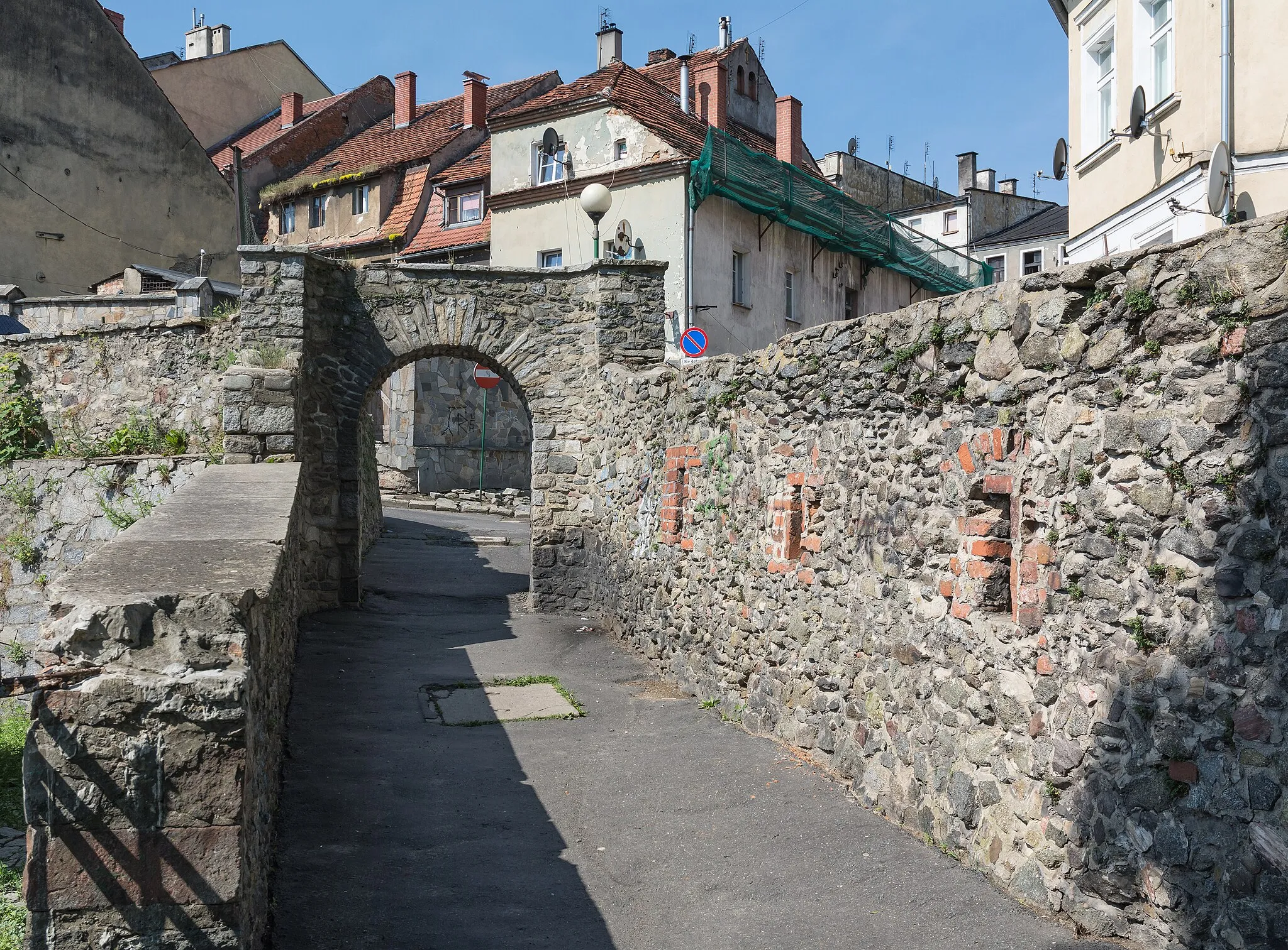
Scenic beauty and challenging climbs in Slavičín
Cycling routes from Slavicin
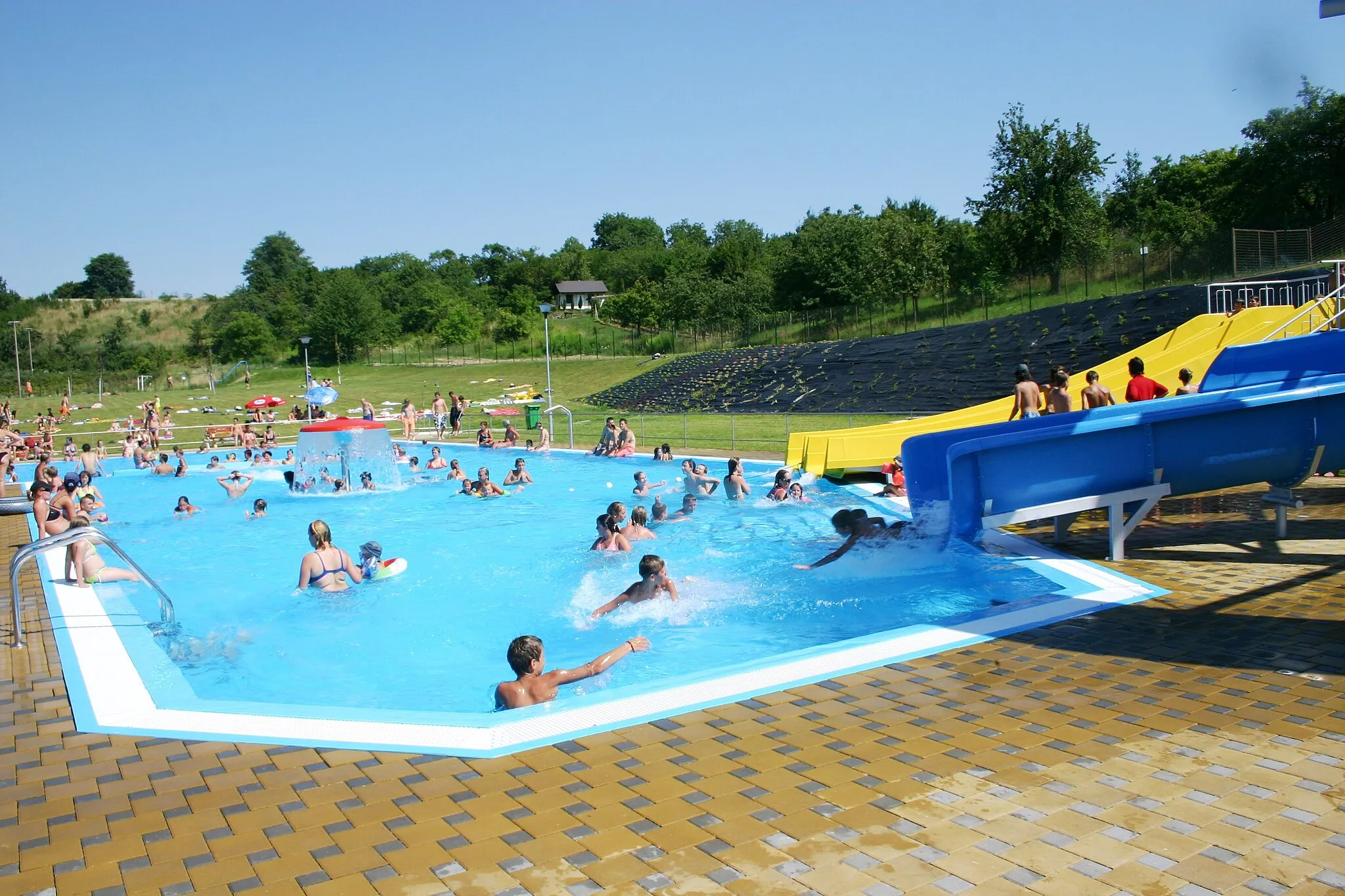
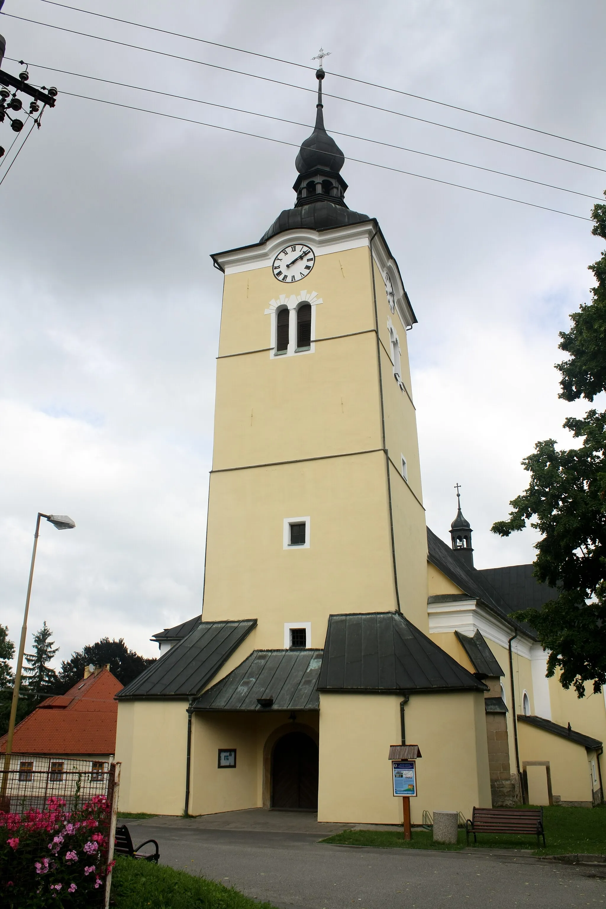
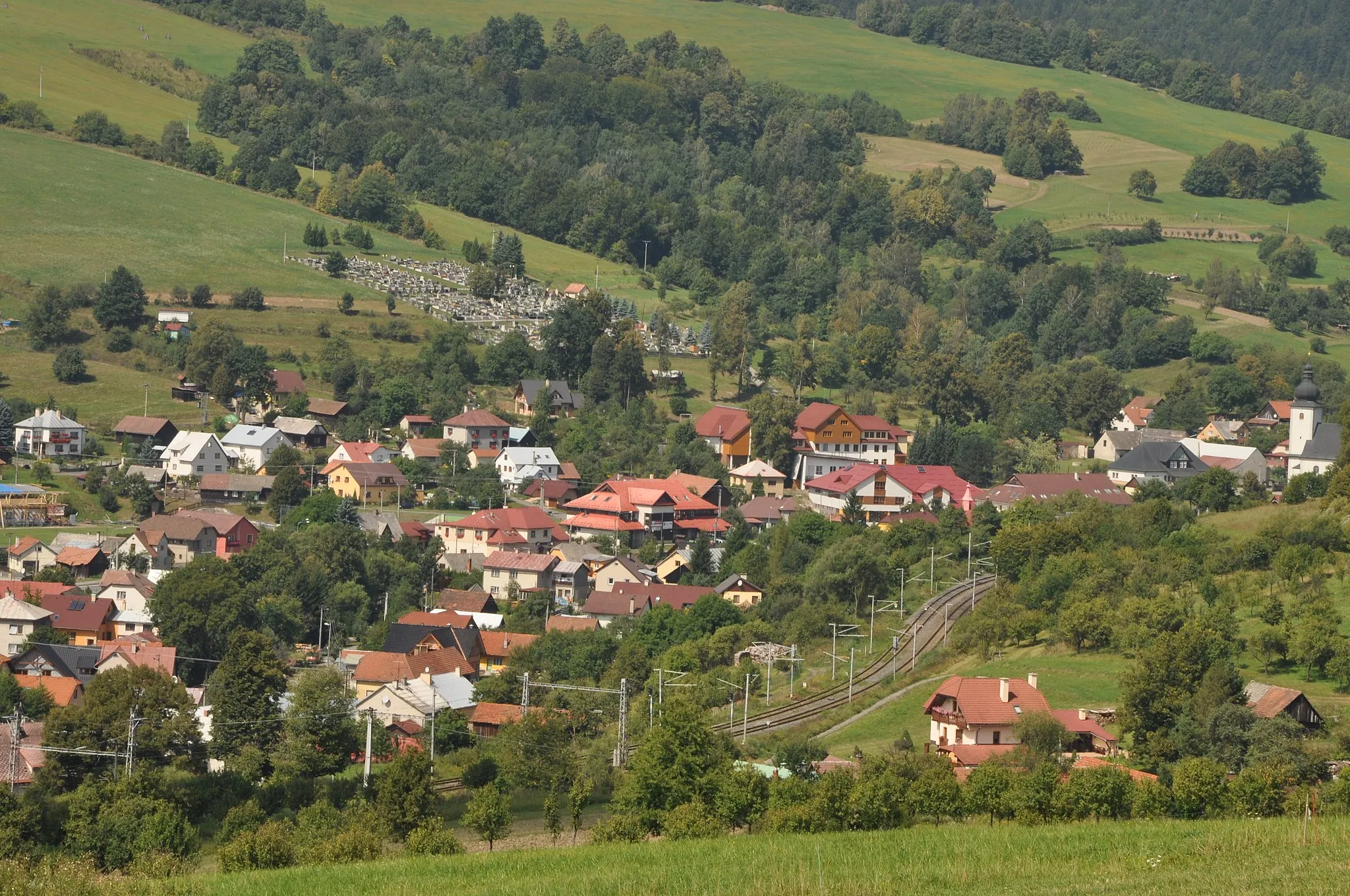
Slavičín, located in Střední Morava, Czech Republic, is a great locality for cycling enthusiasts. The area offers a network of well-maintained roads and paths, catering to both road and gravel cyclists. Cyclists can enjoy the scenic beauty of the countryside while exploring the winding routes. Slavičín is also home to Kunov Hills, a popular destination among cyclists due to its challenging climbs and panoramic views.
Get off the beaten path and explore the gravel roads of Střední Morava on this adventurous cycling route.
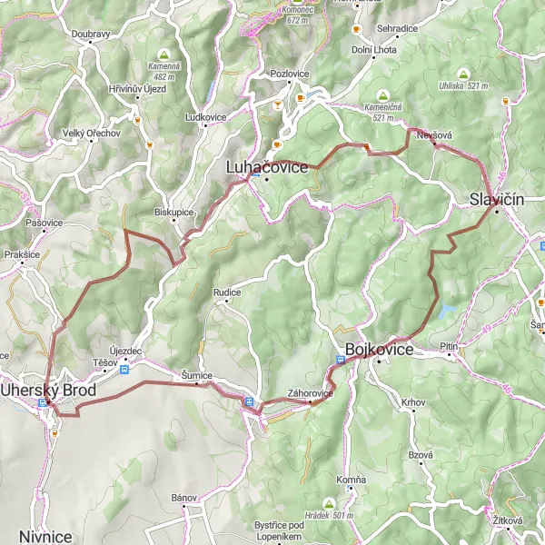
This 54 km gravel cycling route will take you through enchanting forests, charming villages, and scenic landscapes. Discover the natural beauty of Ploštiny and Šumice, ride through the historical town of Bojkovice, and be captivated by the peaceful atmosphere of Nevšová. Challenge yourself on the gravel sections and enjoy the serenity of the countryside. Explore hidden gems like Barák and Polichno, and immerse yourself in the wilderness of Hranice. Prepare for an off-road adventure full of exploration and tranquility!
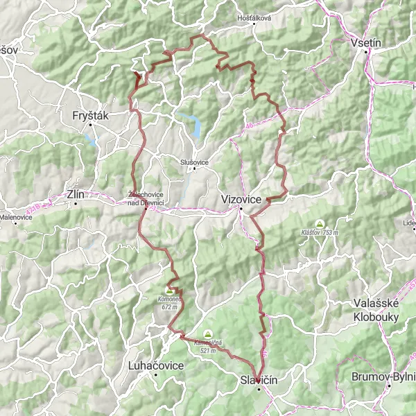
Discover the beauty of the Dřevnice Valley on a challenging gravel ride
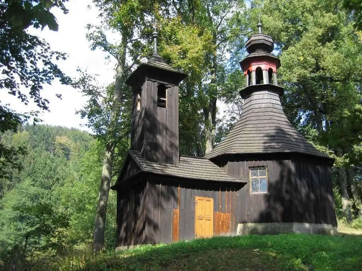
The Dřevnice Valley Gravel Loop takes cyclists on a challenging adventure through the scenic Dřevnice Valley. With a total distance of 97 kilometers and an ascent of 2473 meters, this gravel route offers a thrilling experience for experienced riders. Highlights include Nevšová, a village known for its traditional wooden architecture, and Želechovice nad Dřevnicí, a historic town located on the banks of the Dřevnice River. Cyclists will also pass through Tisový, a village surrounded by picturesque hills, and Lipová, a small village with beautiful countryside landscapes.
Experience the diversity of Střední Morava on this road cycling loop, combining challenging climbs and scenic landscapes.
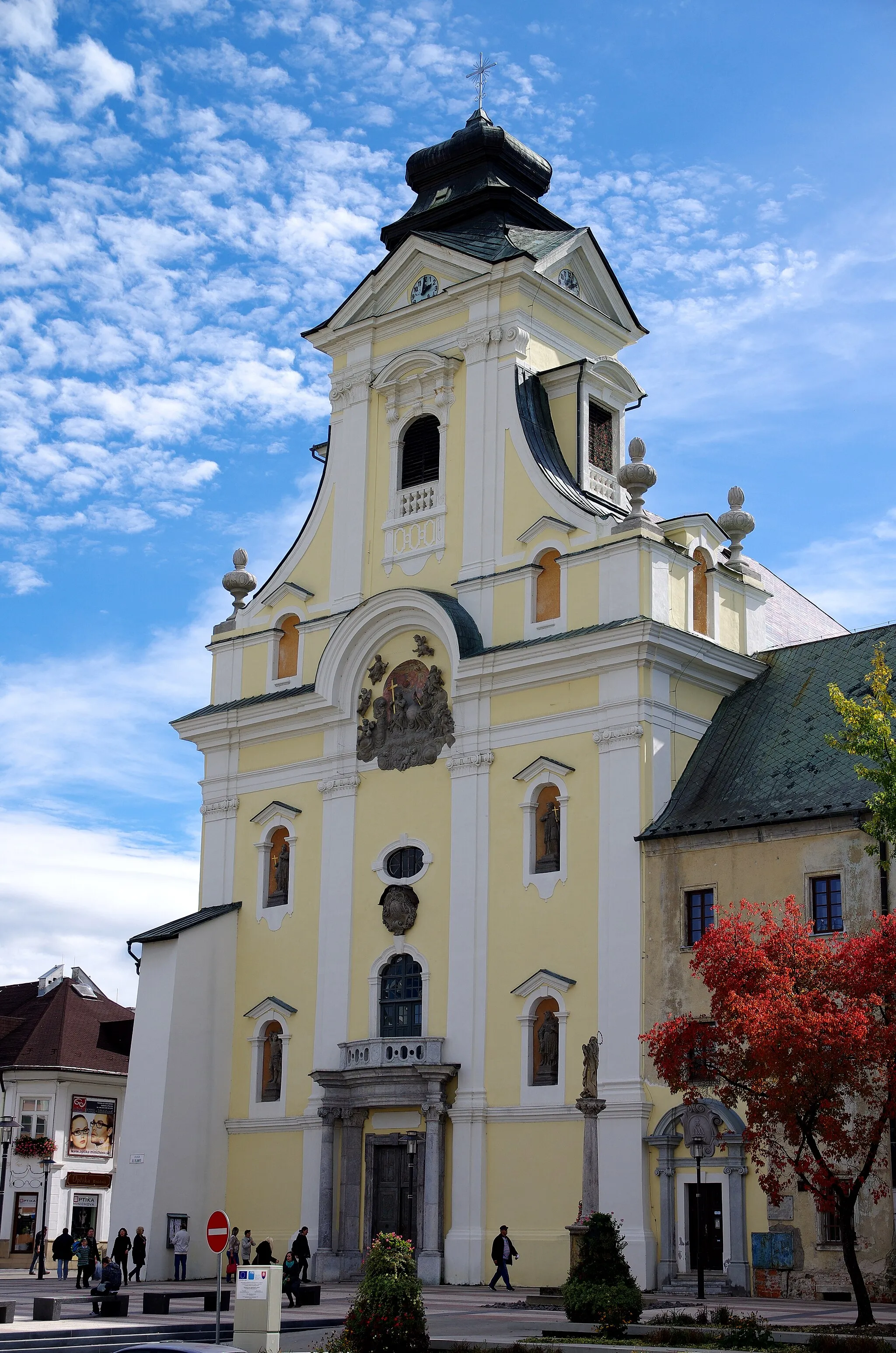
This 92 km road cycling route takes you through a variety of landscapes, from picturesque villages to breathtaking natural wonders. Enjoy the panoramic views from Kozí hrebeň, soak in the serenity of Hájnica, and explore the rich cultural heritage of Pitín. Challenge yourself on the steep ascent of Lopeník and be rewarded with stunning views from Vysoký vrch. Ride through charming villages like Bašta and Bošáca, and take in the beauty of the countryside. It's an adventurous journey full of diverse terrain and wonderful surprises along the way!
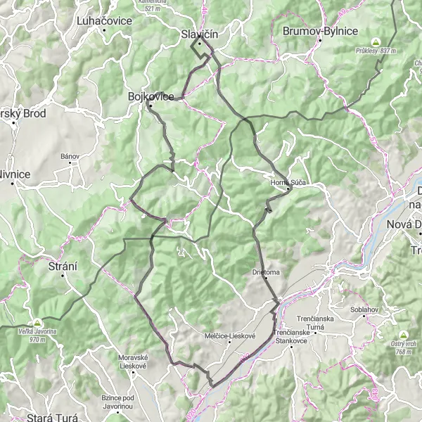
Vlárská dráha Gravel Route
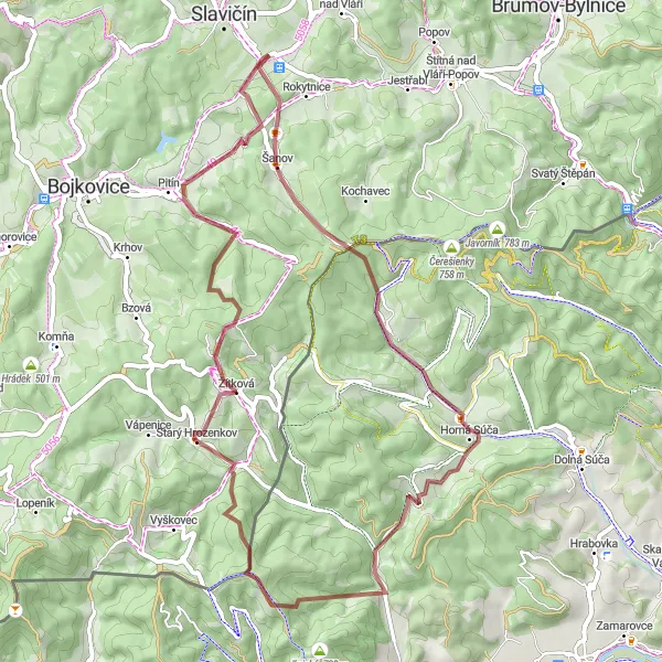
Cycle through the picturesque landscapes along the Vlárská dráha
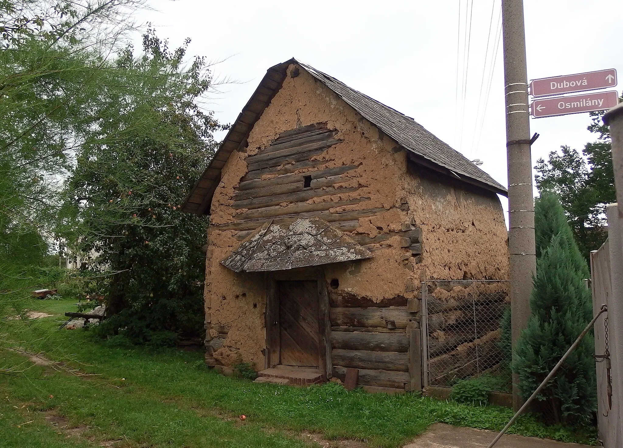
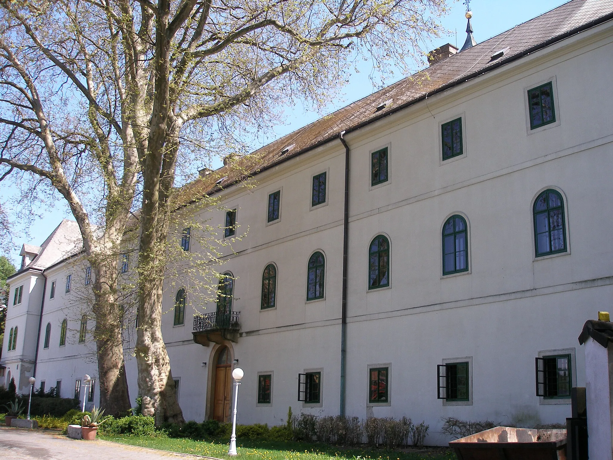
This gravel route takes you on a scenic journey through the beautiful landscapes near Slavičín. With a total ascent of 1523 meters and a distance of 53 kilometers, the route offers a moderate challenge for well-trained amateurs. Highlights include Hrádek na Vlárské dráze, an ancient castle ruin, and Žítková, a traditional Moravian village known for its unique folk architecture.
Zlin Road Ride
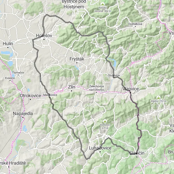
Embark on a challenging road ride in the Zlin region
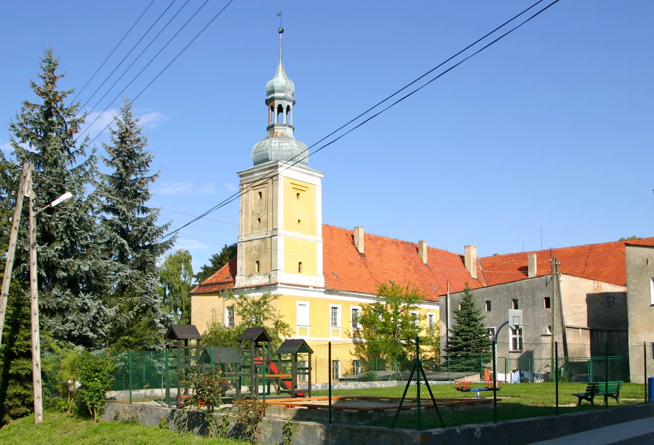
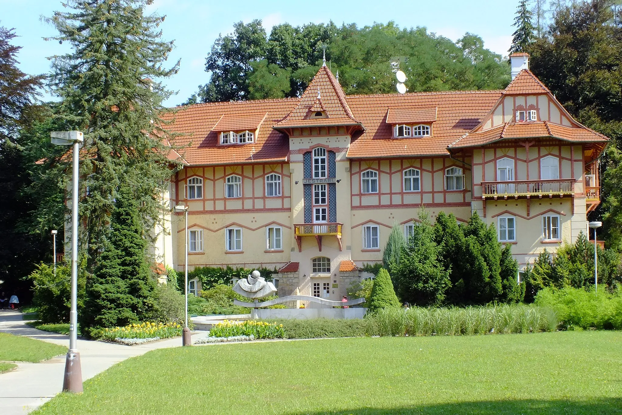
The Zlin Road Ride offers a longer and more demanding cycling experience with a total distance of 112 kilometers and an ascent of 1674 meters. This route is designed for well-trained amateurs who enjoy road cycling. Highlights include Jestřábí hora, a mountain known for its panoramic views, and Luhačovice, a spa town famous for its healing mineral springs. Cyclists will also pass through Tečovice, a village with a rich history, and Slavičín, a charming town located at the starting point of the route.
Embark on an epic gravel adventure in the Moravian Highlands
The Moravian Highlands Gravel Trail offers an epic cycling experience in the picturesque Moravian Highlands. With a challenging combination of 2392 meters of ascent and a distance of 105 kilometers, this gravel route is recommended for experienced cyclists. Highlights include Kopanka, an abandoned village with a haunting atmosphere, and Šanov, a village known for its beautiful countryside. Cyclists will also pass through Lipina, a small village surrounded by lush forests, and Chladný vrch, a hill with spectacular views over the Moravian countryside.
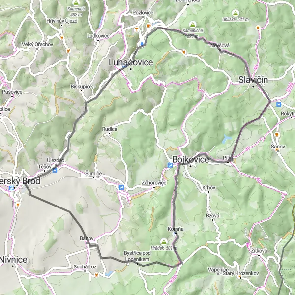
Explore the beautiful countryside of Střední Morava on this road cycling loop.
This 58 km route takes you through picturesque villages and stunning landscapes. You'll ride through the enchanting forests of Bukovina, visit the charming town of Pitín, pass by the historic Hrádek castle and enjoy the breathtaking views from Kameničná. As you pedal through scenic countryside, you'll also have the opportunity to see the charming Újezdec village and the peaceful village of Nevšová. The route offers a moderately challenging ascent with a total ascent of 922 meters. Get ready for an unforgettable cycling adventure in Střední Morava!

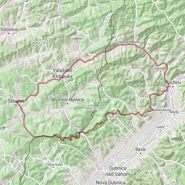
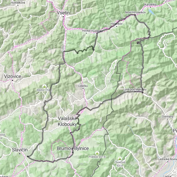
Embark on an adventurous gravel ride near Lysá pod Makytou
The Lysá pod Makytou Gravel Adventure provides cyclists with an exciting and challenging route to explore. With a total distance of 100 kilometers and an ascent of 1887 meters, this gravel ride offers a thrilling experience for adventurous riders. Highlights of the route include Kopanka, an abandoned village with an eerie atmosphere, and Lysá pod Makytou, a small town nestled at the foot of the beautiful Lysá mountain. Cyclists will also pass through Lidečko, a village famous for its traditional folklore, and Bylnice, a picturesque village located in a scenic valley.
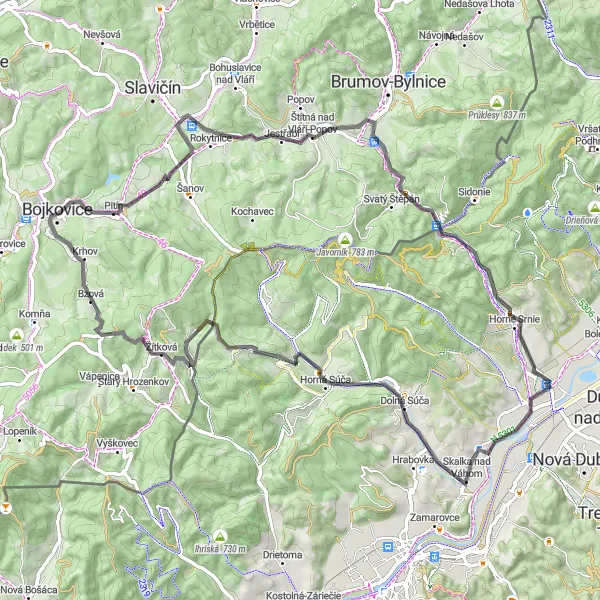
Conquer the challenging Vlárské dráhy route with breathtaking uphill sections.
Embark on this epic cycling journey along the Vlárské dráhy route, filled with stunning landscapes and scenic countryside. With an elevation gain of 1,128 meters over a distance of 75 kilometers, this road cycling route will push the limits of even the most well-trained amateurs. The route takes you through distinct highlights including Vrchy, Štítná nad Vláří-Popov, Nemšová, Dolná Súča, Krasín, Žítková, Žítkovský vrch, Bukovina, and Hrádek na Vlárské dráze.
Embark on an epic journey through Střední Morava, conquering challenging ascents and exploring breathtaking landscapes.
This 112 km road cycling loop takes you through some of the most picturesque and challenging routes in Střední Morava. From the tranquil beauty of Divnice and Trojková to the panoramic views from Hůrka and Kohútka, this route offers a thrilling adventure for experienced cyclists. Challenge yourself on the steep ascents of Valašská Polanka and Kopanica, and soak in the stunning scenery along the way. Visit historic towns like Nový Hrozenkov and Rokytnice, and admire the architectural gems of the region. Prepare for a rewarding and unforgettable cycling experience!
Cycling routes nearby:


Nearby regions: