Conquering the climbs and exploring the beautiful countryside of Duppigheim, a cyclist's paradise.
Cycling routes from Duppigheim
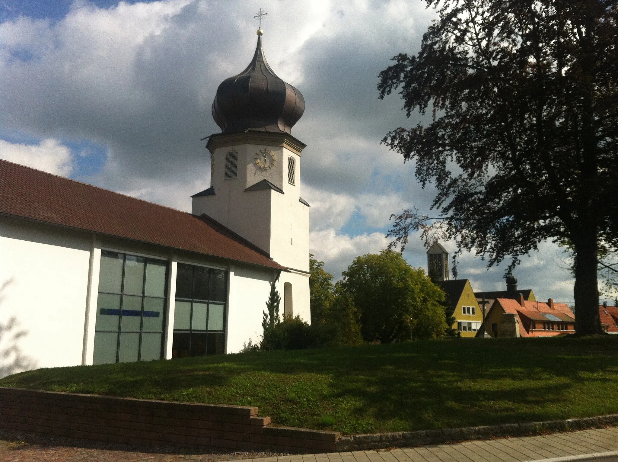
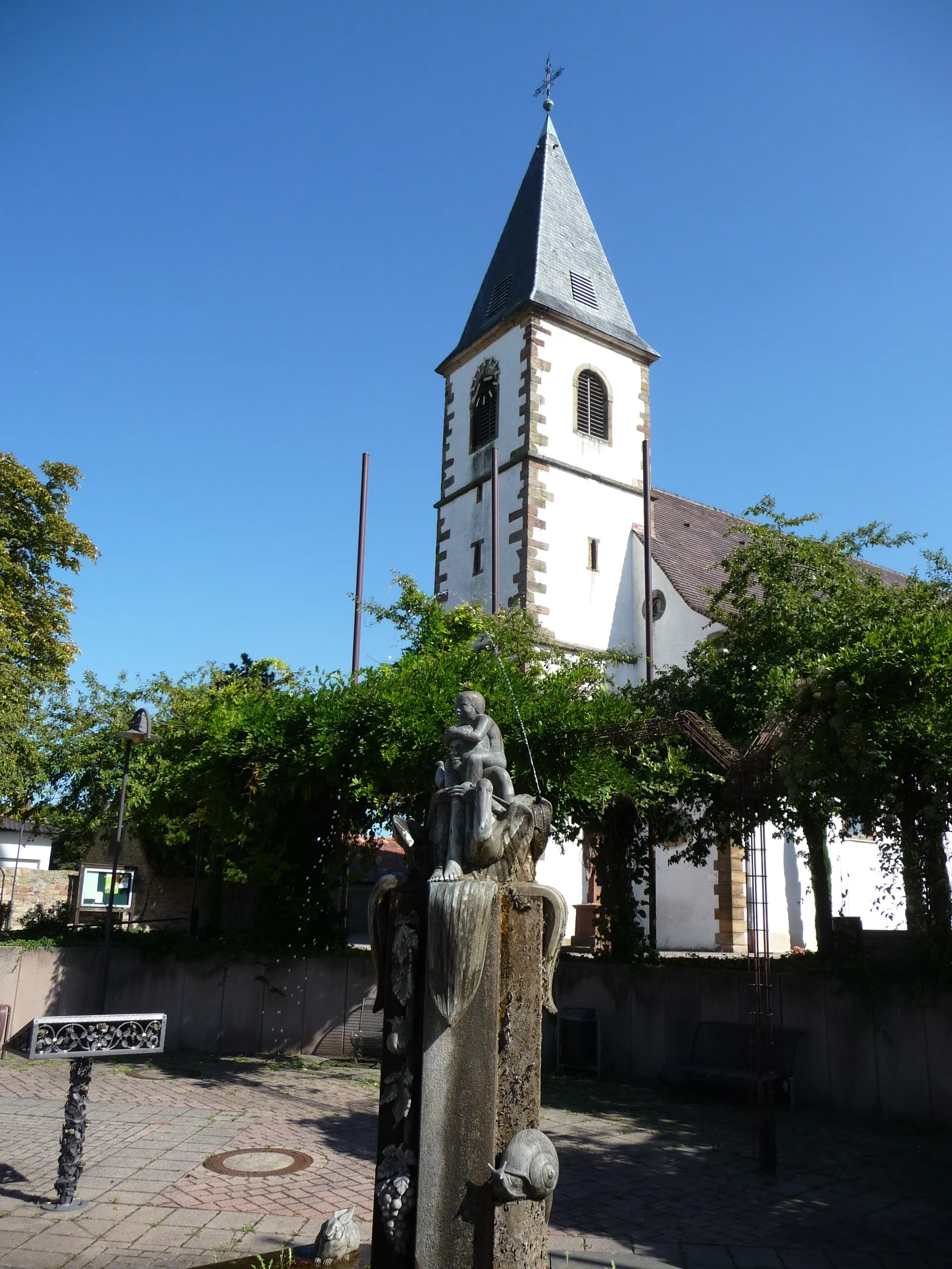
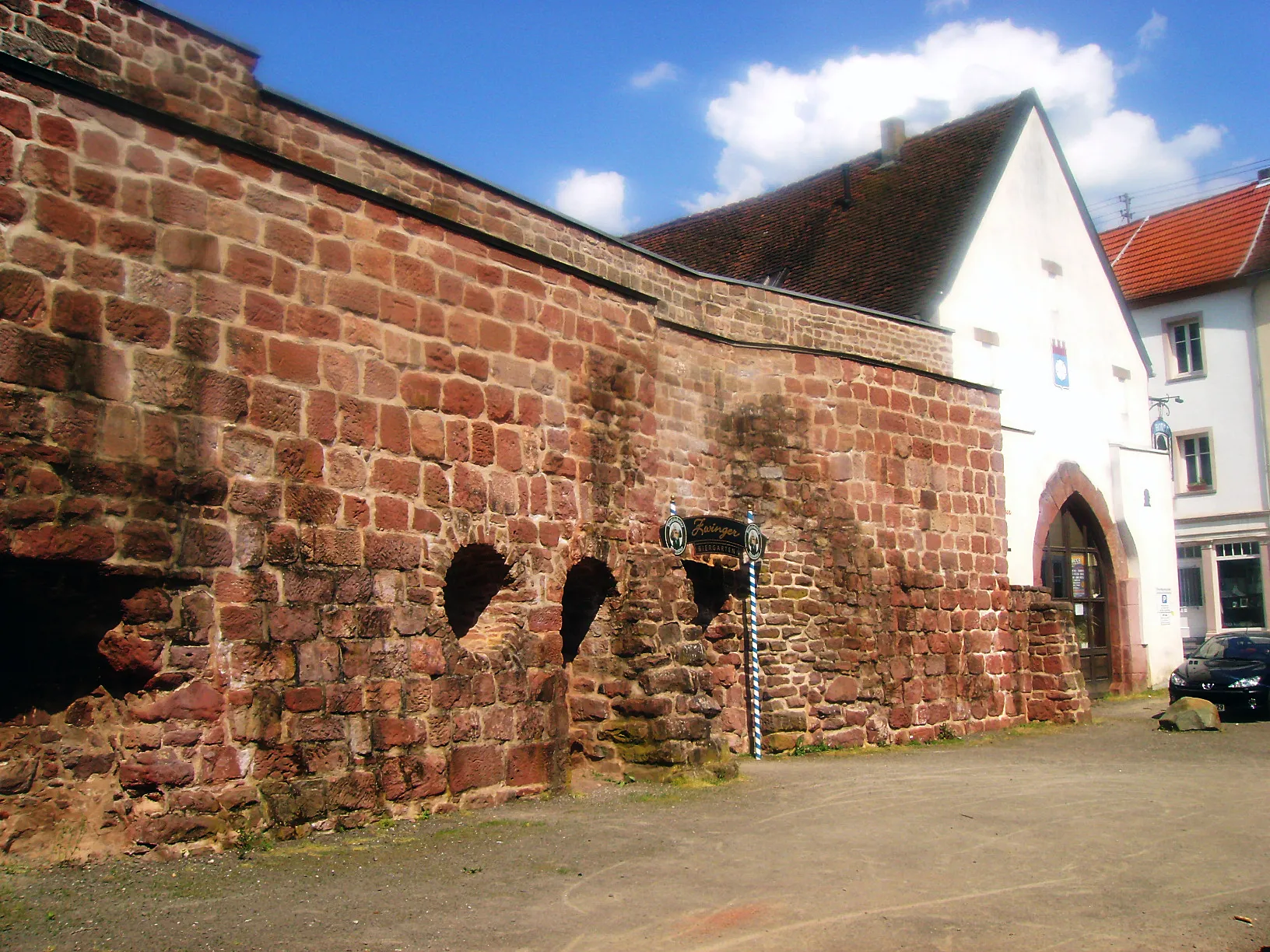
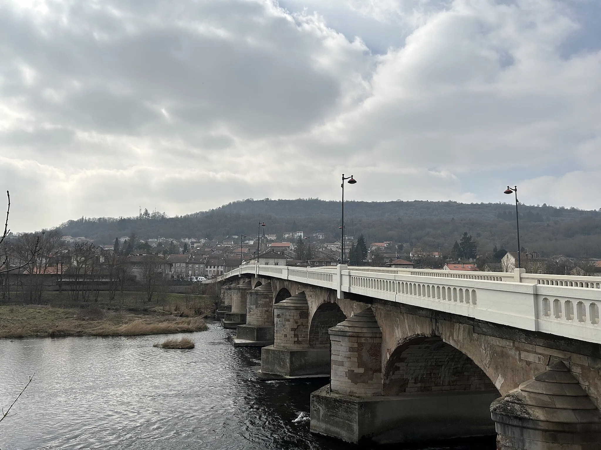
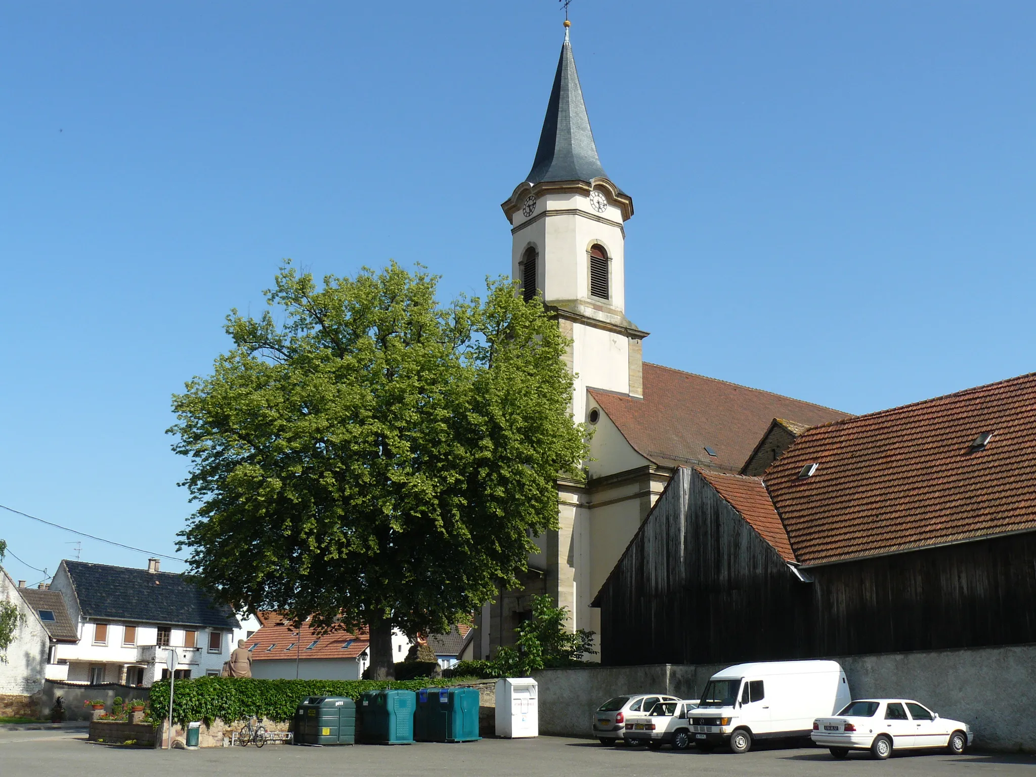
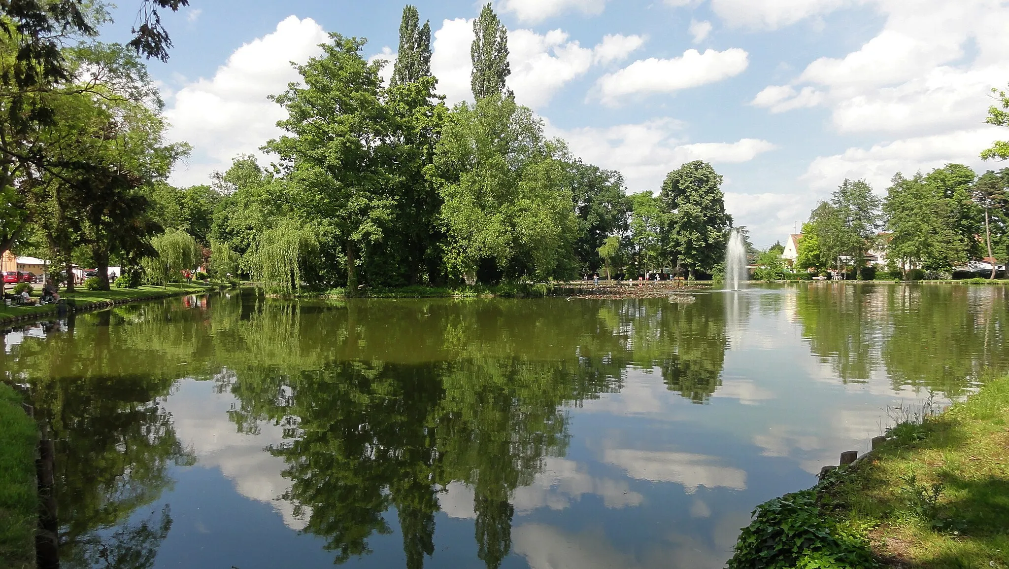
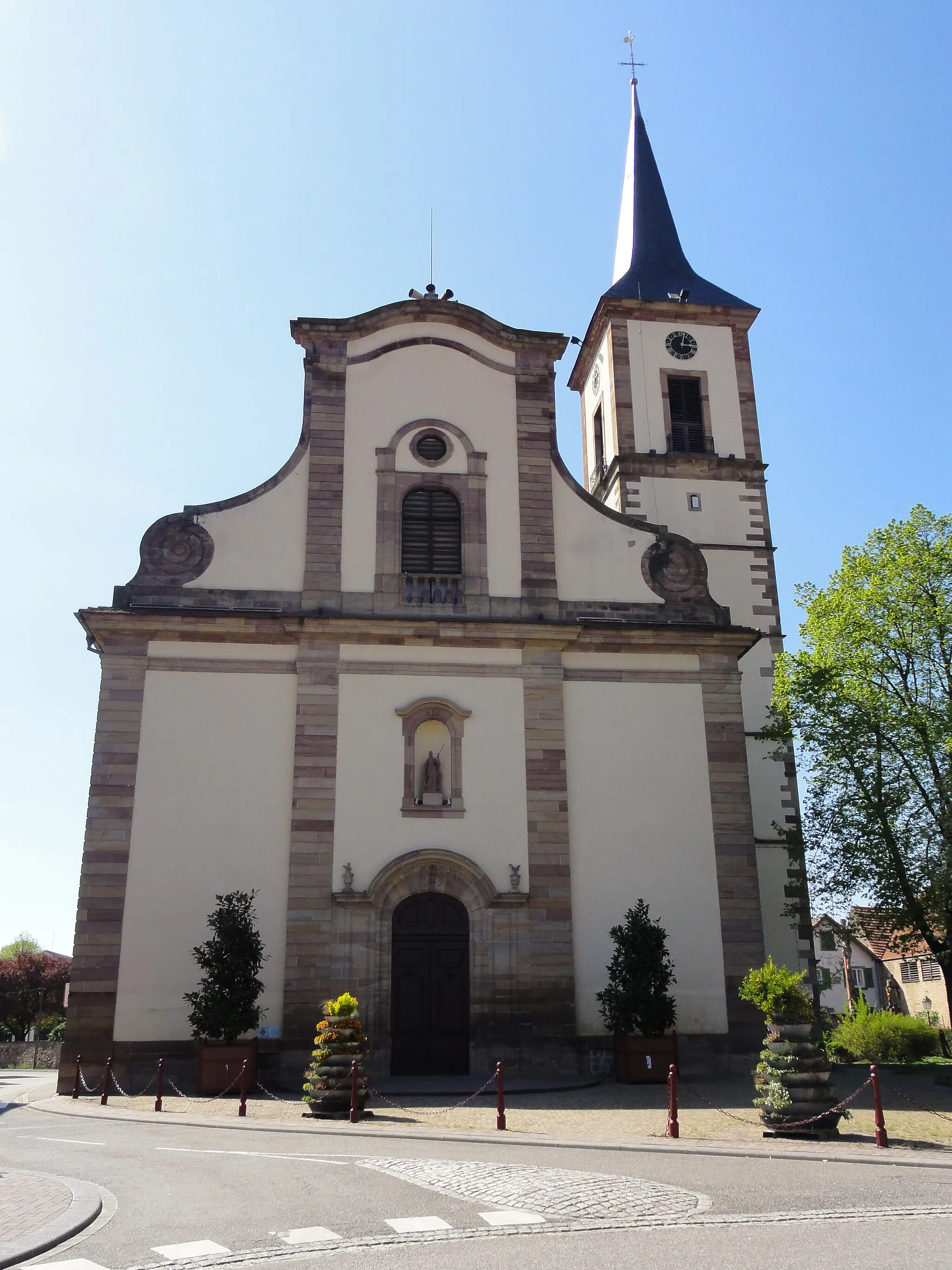
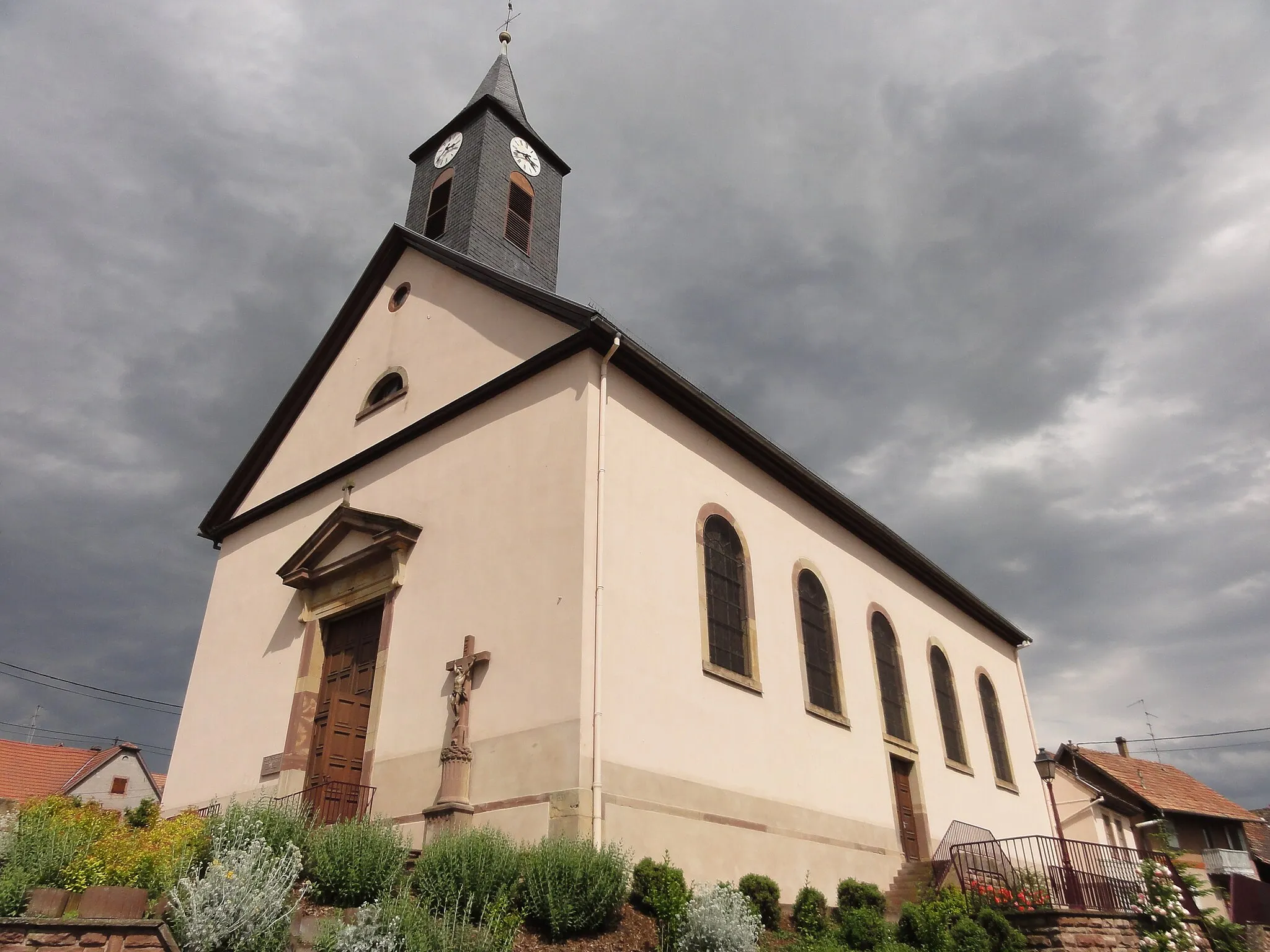
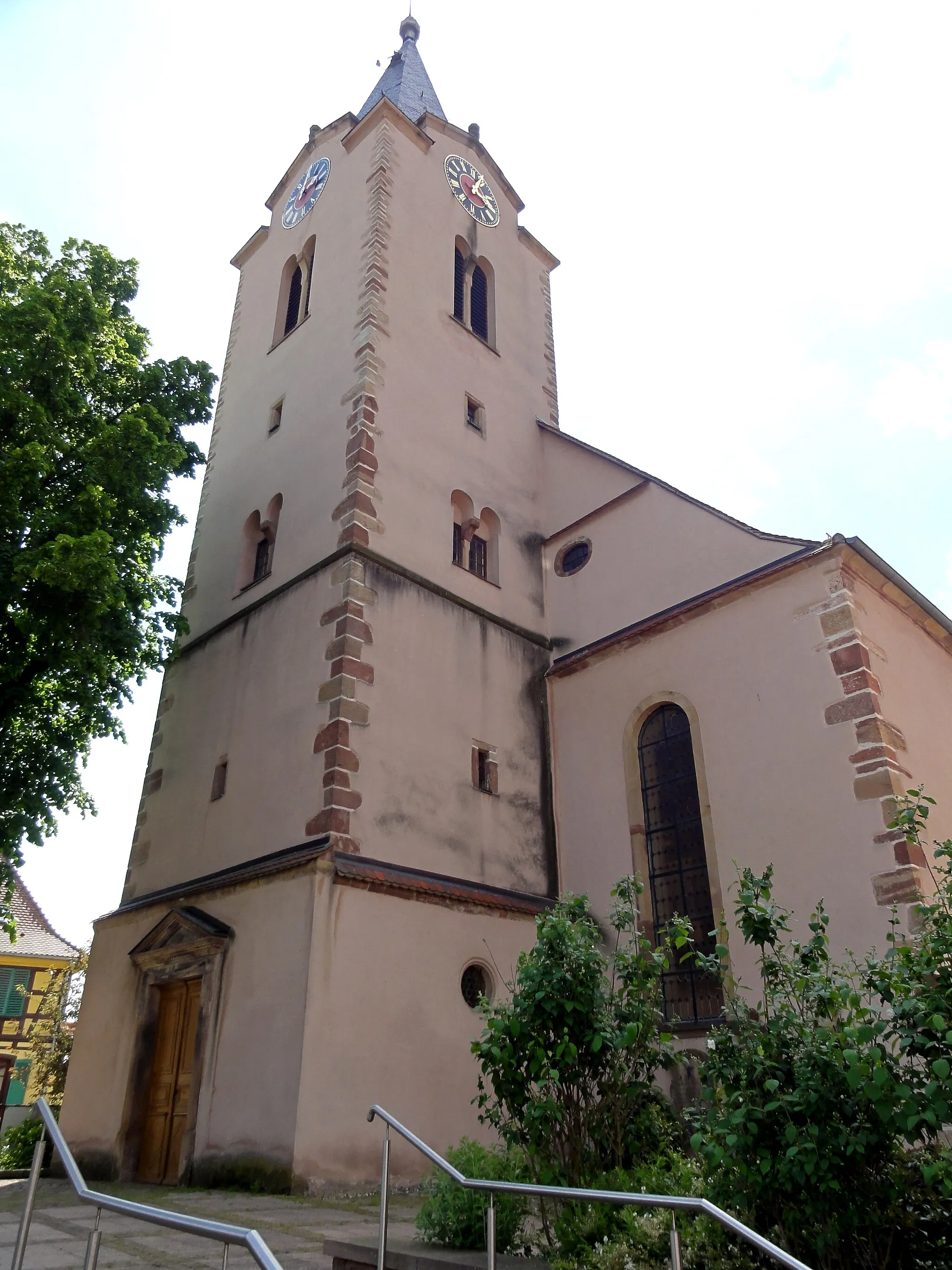
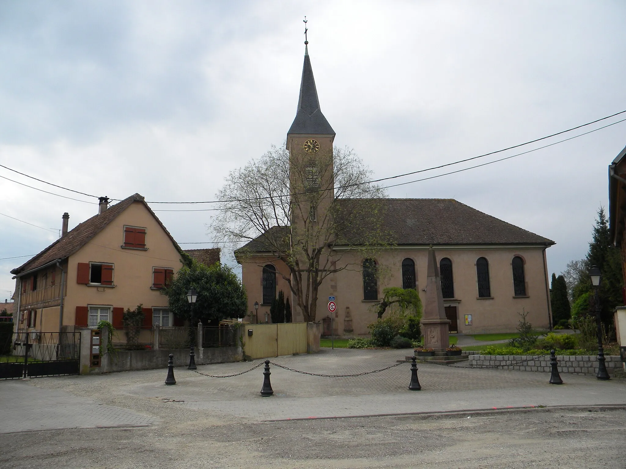
Duppigheim, located in the Alsace region of France, is a haven for road and gravel cyclists. The locality offers a mix of challenging climbs, serene countryside, and well-maintained cycling routes. Cyclists can explore the beautiful region with its vineyards, forests, and charming villages, making it an ideal base for day trips. One of the must-visit spots for cyclists is Mont Sainte-Odile, a famous pilgrimage site with stunning views and a rewarding climb. Duppigheim is a cycling paradise that caters to both recreational riders and seasoned cyclists looking for a challenge.
Cycle through idyllic countryside villages of Alsace.
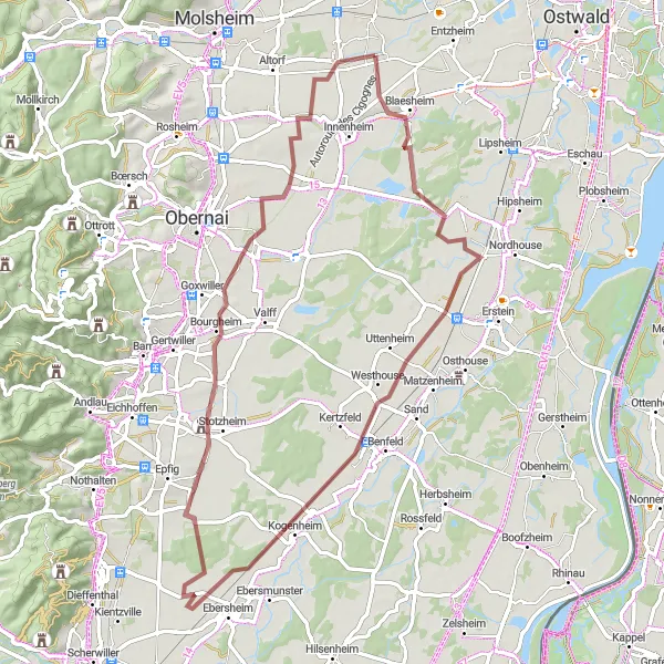
This gravel route takes you through the picturesque villages near Duppigheim in Alsace. With a total distance of 66 kilometers and an elevation gain of 157 meters, this route is perfect for those looking for a relaxing and scenic cycling experience. You'll pass through highlights such as Gloeckelsberg, Hindisheim, Bolsenheim, Kogenheim, Stotzheim, and Griesheim-près-Molsheim, each offering its own charm and unique sights. The difficulty level of this route is moderate, suitable for well-trained amateur cyclists. Overall, the route provides a delightful ride with beautiful countryside views and charming village stops.
Hangenbieten Loop
Experience the charm of Hangenbieten on this scenic road cycling route
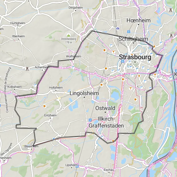
The Hangenbieten Loop is a picturesque road cycling route starting near Duppigheim in Alsace, France. With a total distance of 50 kilometers and a modest ascent of 91 meters, this route offers a pleasant ride through the countryside of Alsace. The highlights of the route include Schiltigheim, Neuhof, Blaesheim, and Gloeckelsberg.
The Bruche Valley Loop
Scenic loop through the picturesque Bruche Valley
The Bruche Valley Loop takes cyclists on a scenic journey through the picturesque Bruche Valley in Alsace, France. This loop features beautiful countryside views, charming villages, and cultural highlights of the region.
Embark on a thrilling adventure through the scenic landscapes of Kolbsheim and its charming villages.
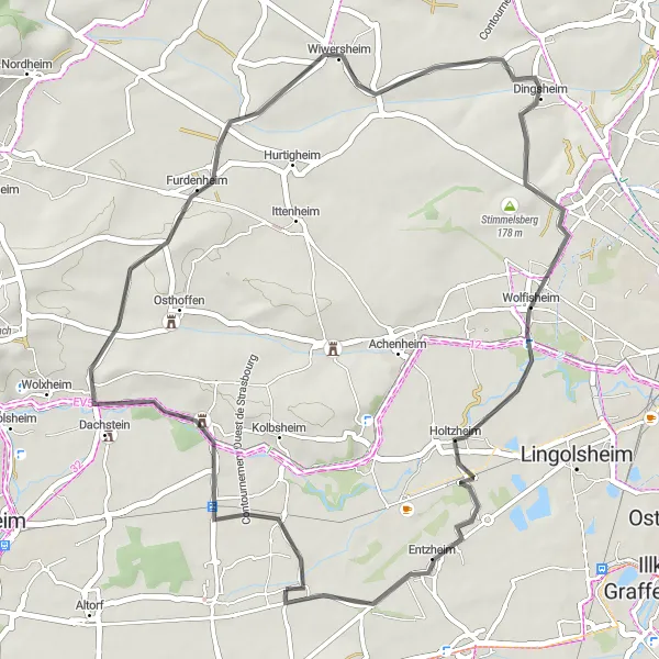
The Kolbsheim Adventure is an exciting road cycling route starting near Duppigheim in Alsace, France. With a total distance of 94 kilometers and an ascent of 437 meters, this route offers a mix of scenic beauty and cultural attractions. The highlights of the route include Kolbsheim, Hurtigheim, Wingersheim, Batzendorf, Kurtzenhouse, Schiltigheim, Toit du Parking Wodli, and Entzheim.
Unearth the hidden gems of Alsace on this challenging gravel loop.
Embark on a challenging gravel cycling adventure through the heart of Alsace. This 88-kilometer route offers a total ascent of 893 meters and covers some of the most beautiful and lesser-known parts of the region. Key highlights include Avolsheim, Le Scharrach, Geierstein, Gottenhouse, Wilwisheim, and Breuschwickersheim. With a difficulty level of 5, this route is best suited for experienced cyclists. Prepare to be amazed by the breathtaking landscapes and picturesque villages that epitomize the charm of Alsace.
Geispolsheim Loop
Discover the beauty of Geispolsheim and its surrounding countryside on this scenic road cycling route.
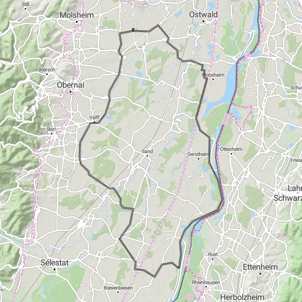
The Geispolsheim Loop is a delightful road cycling route starting near Duppigheim in Alsace, France. With a total distance of 92 kilometers and a moderate ascent of 90 meters, this route allows cyclists to explore the picturesque countryside of Alsace. The highlights of the route include Geispolsheim, Pierrette's Garden, Wittisheim, Zellwiller, and Krautergersheim.

Embark on a thrilling gravel adventure through Natzwiller and its stunning landscapes.
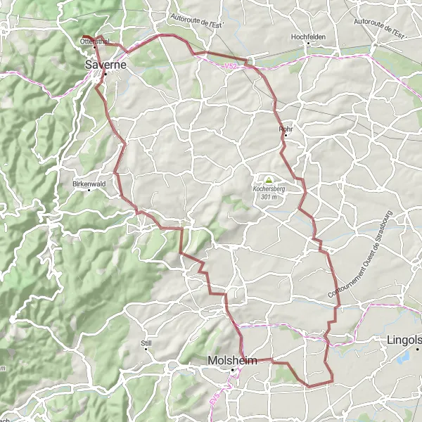
The Natzwiller Gravel Adventure is a challenging gravel cycling route starting near Duppigheim in Alsace, France. With a total distance of 78 kilometers and an ascent of 1157 meters, this route offers a thrilling experience for gravel enthusiasts. The highlights of the route include Duppigheim, Niedernai, Natzwiller, Pfriemenkopf, Lutzelhouse, Molsheim, and Duttlenheim.
Molsheim Challenge

Take on the Molsheim Challenge, a thrilling road cycling route with exceptional natural landscapes and historic landmarks.
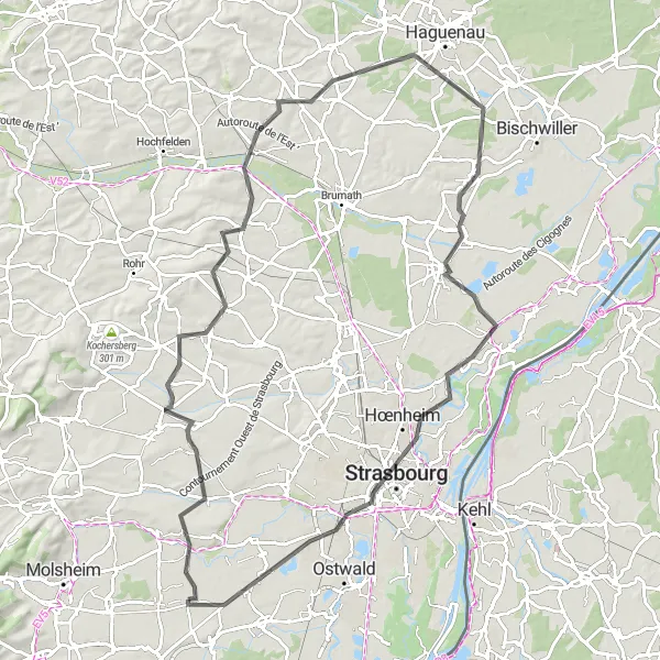
The Molsheim Challenge is an adventurous road cycling route starting near Duppigheim in Alsace, France. With a total distance of 85 kilometers and a significant ascent of 829 meters, this route is designed for experienced cyclists looking for a challenge. The highlights of the route include Molsheim, Col du Schanz, Marmoutier, Lupstein, Belvedere, Wintzenheim-Kochersberg, and Breuschwickersheim.
Road tour around Duppigheim
An exciting road route with stunning viewpoints.
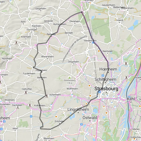
Explore the scenic routes around Duppigheim with this road cycling tour. Covering a distance of 61 kilometers and an elevation gain of 290 meters, this route offers a mix of panoramic viewpoints and charming villages. Highlights include Kolbsheim, Hurtigheim, Bilwisheim, Mirador de chasse, Souffelweyersheim, Toit du Parking Wodli, and Lingolsheim. The difficulty level of this route is moderate, suitable for well-trained amateur cyclists. Whether you're chasing breathtaking views or seeking cultural experiences, this road tour has it all.
Journey through scenic landscapes and rolling hills near Duppigheim.
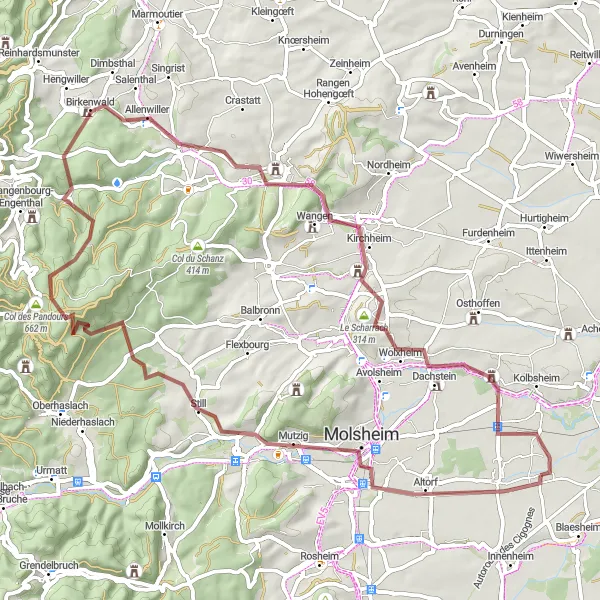
Immerse yourself in the beauty of the Alsace region on this 68-kilometer gravel adventure. With an ascent of 973 meters, this route takes you through the enchanting villages of Mutzig, Rocher du Geissfels, Col des Pandours, Romanswiller, Dahlenheim, Horn, and Ernolsheim-Bruche. The difficulty level of this route is high, suitable for experienced cyclists seeking a challenging ride. Along the way, you'll be rewarded with breathtaking views, historic landmarks, and the charm of traditional Alsatian architecture.
Cycling routes nearby:


Nearby regions: