Discover the beauty of Alsace on two wheels
Cycling routes from Marmoutier
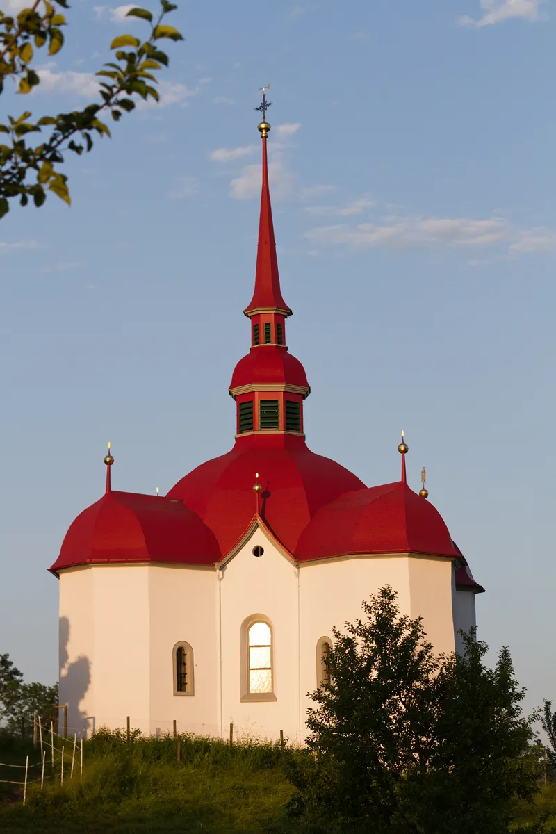
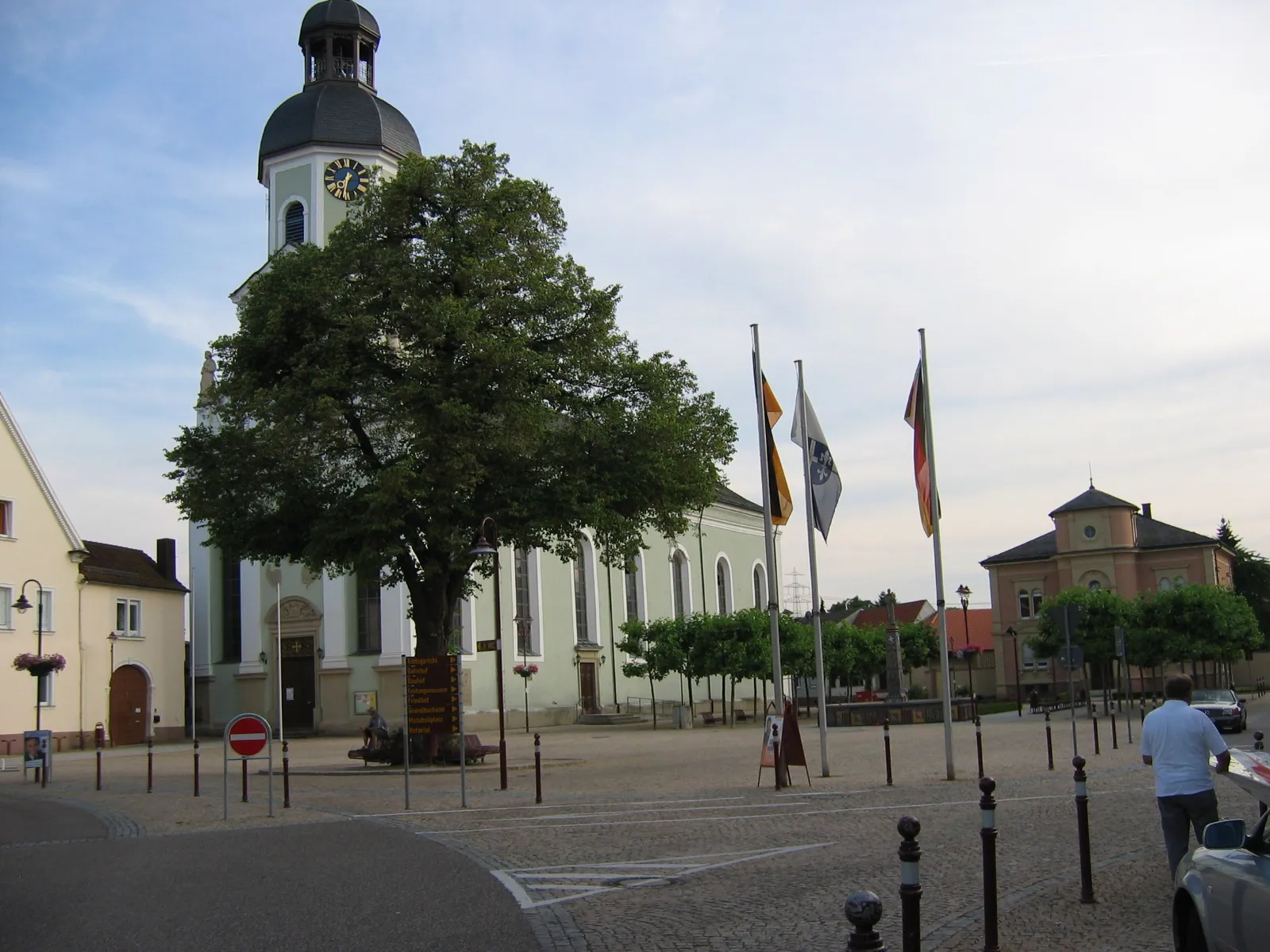
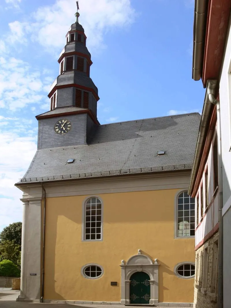
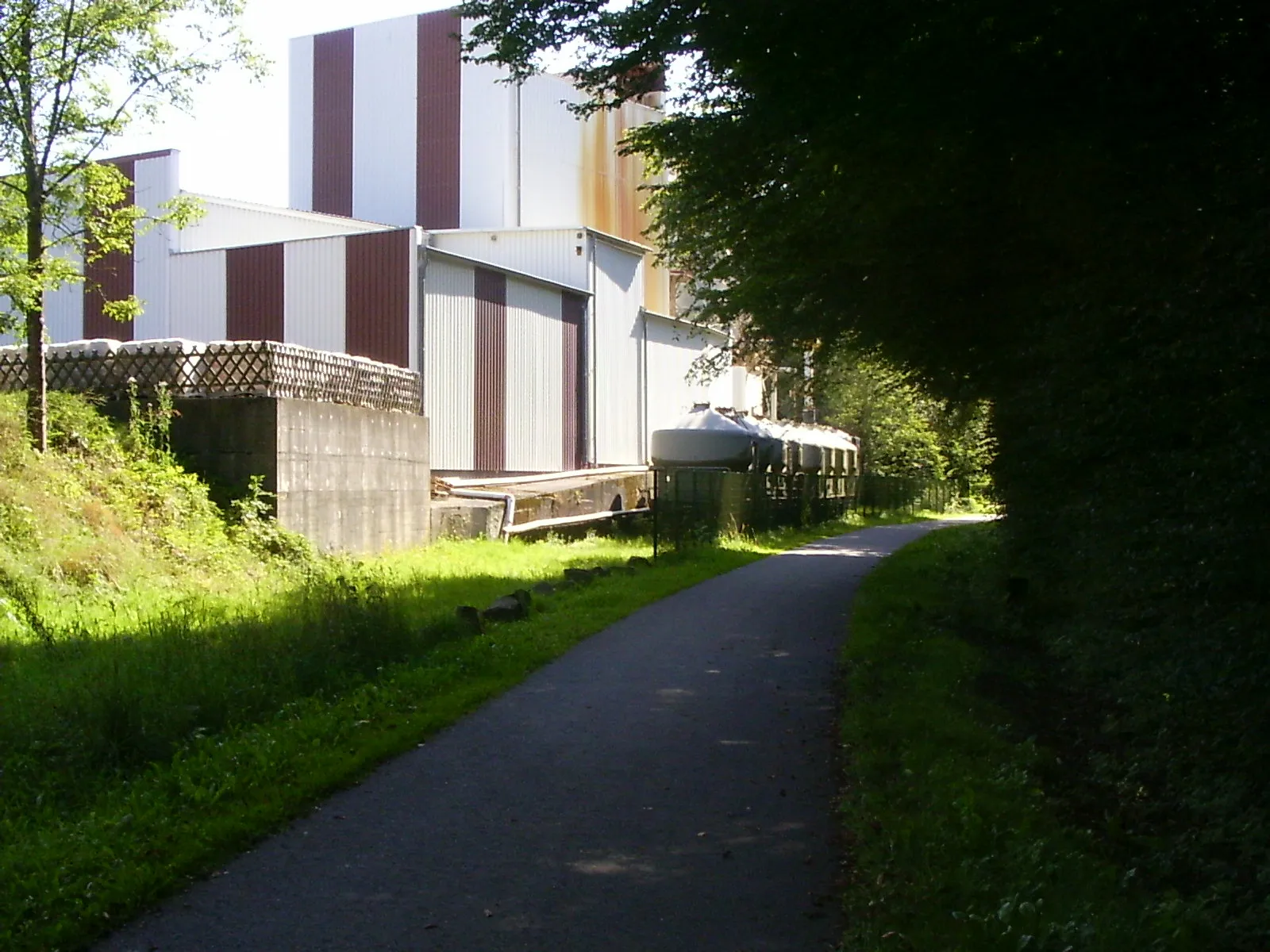
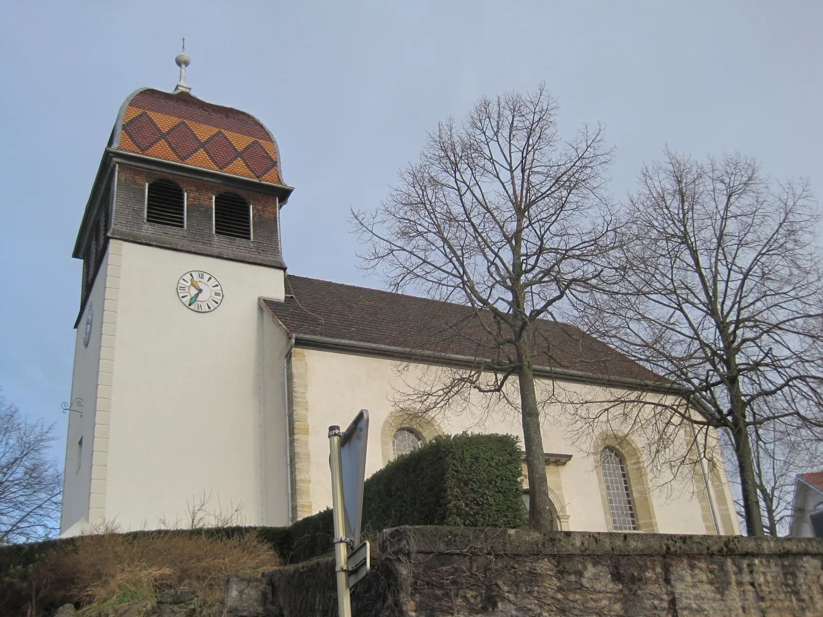
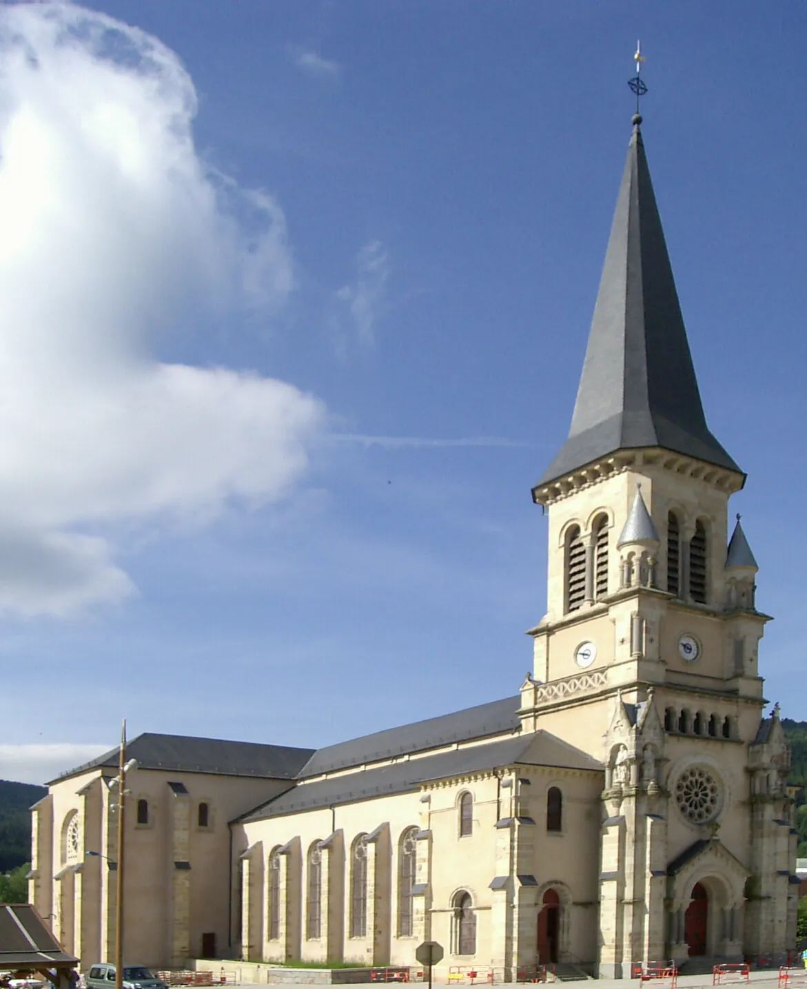
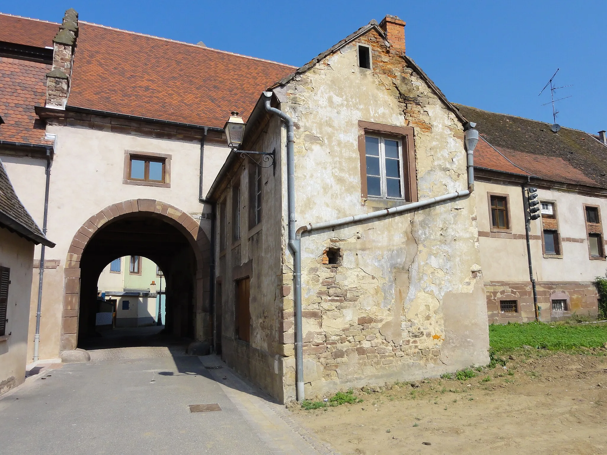
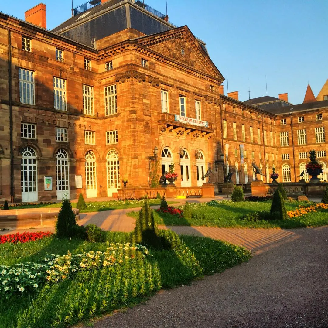
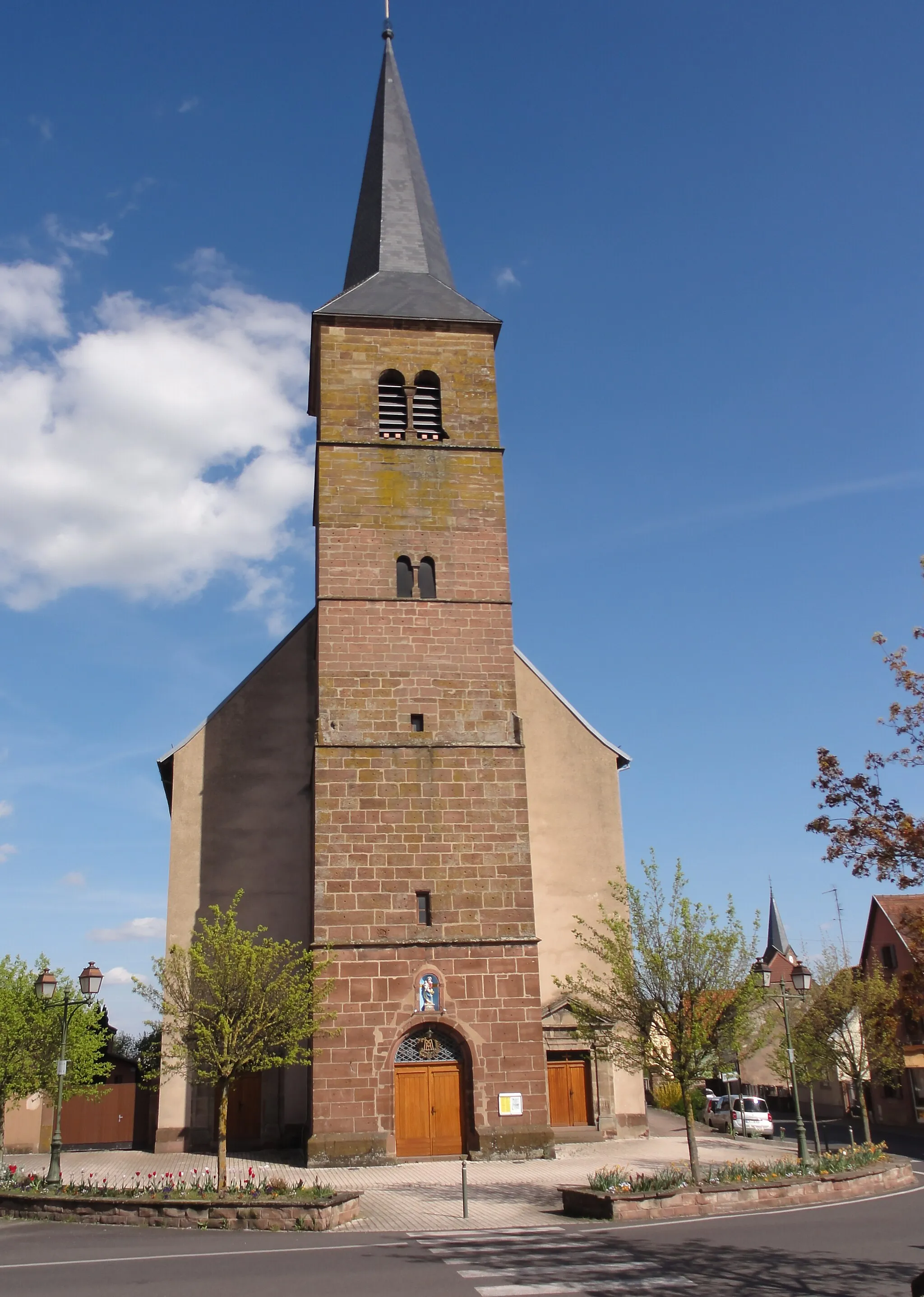
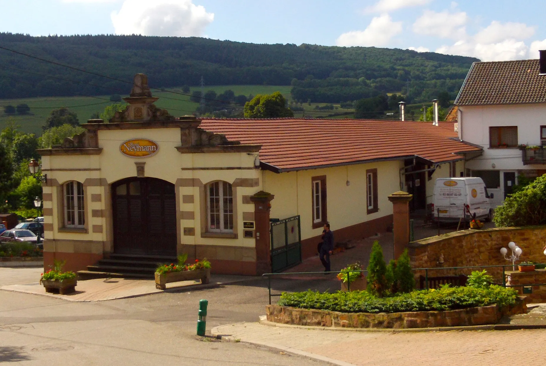
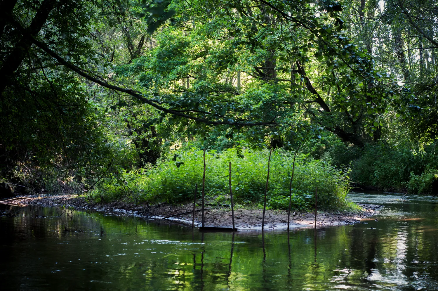
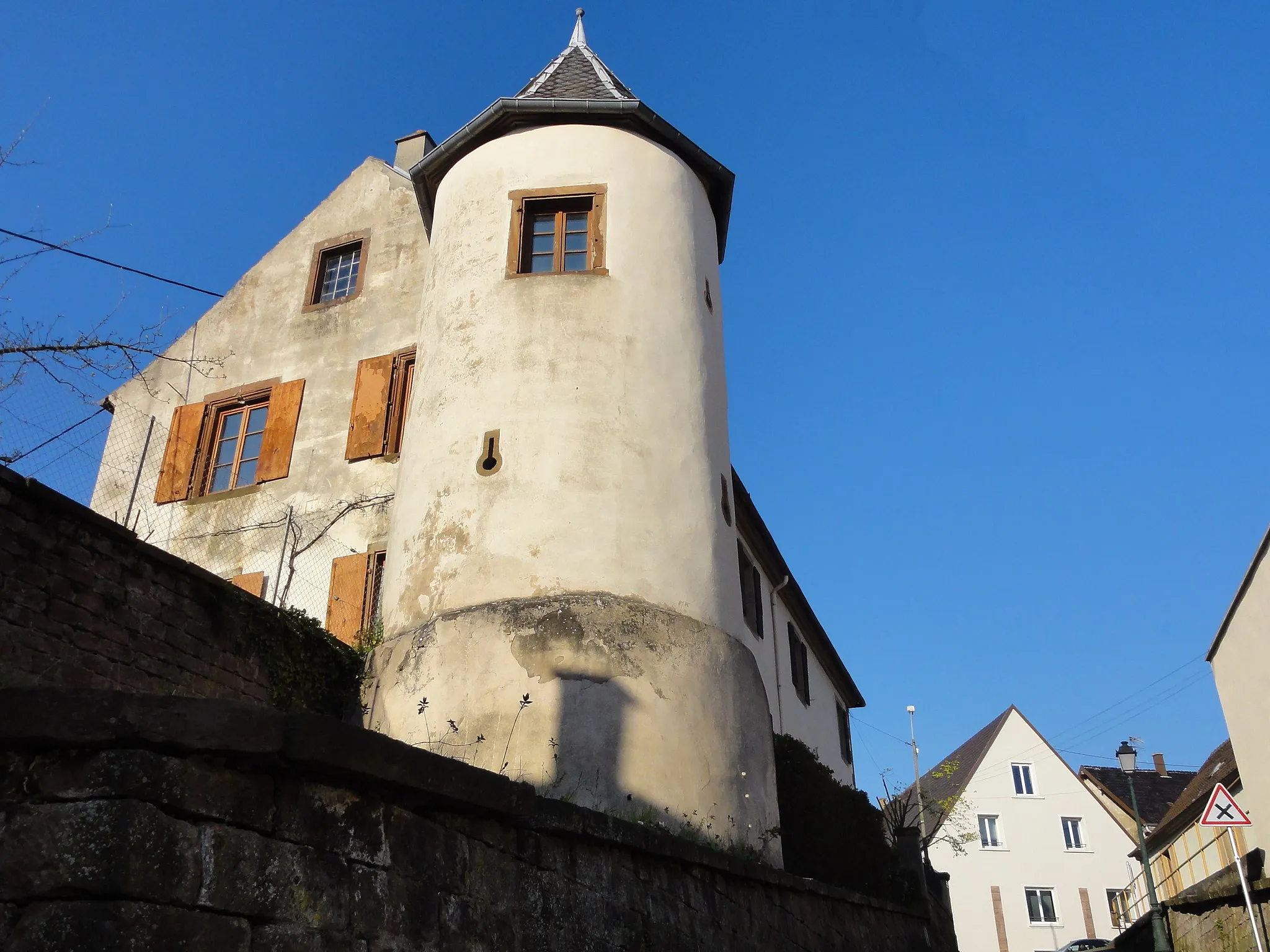
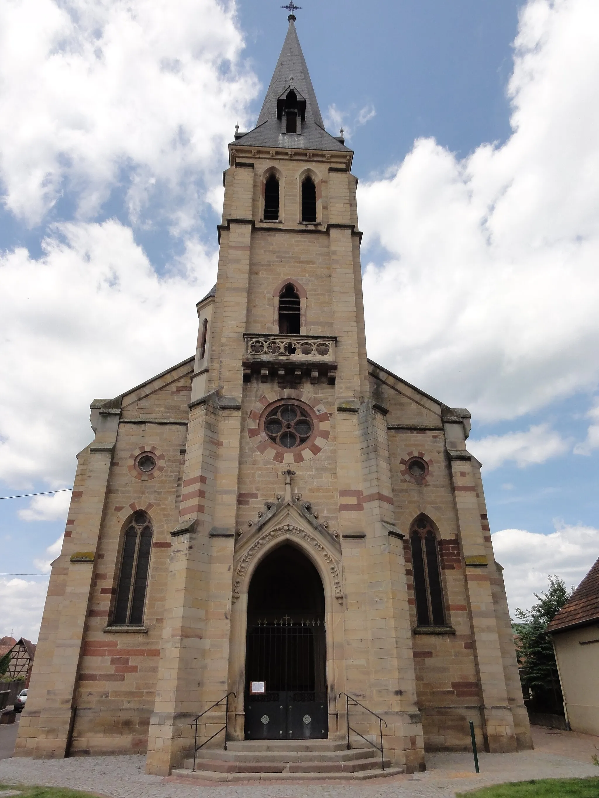
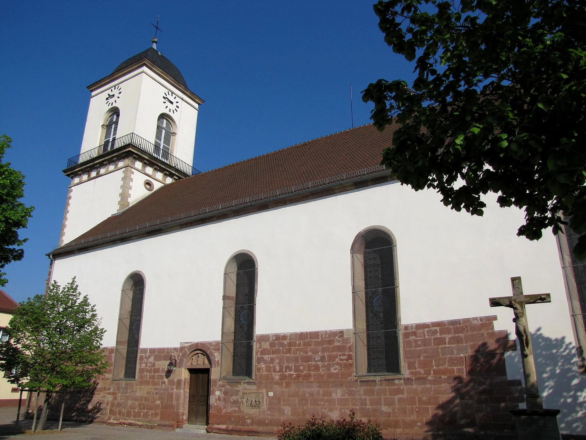
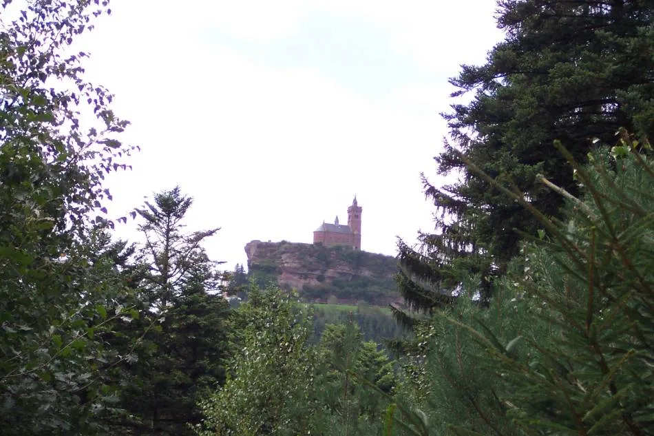
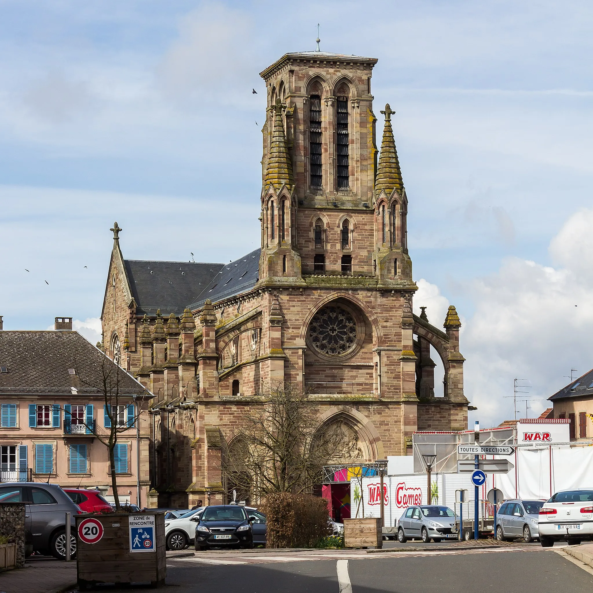
Marmoutier, a scenic locality in the Alsace region of France, provides a fantastic setting for road and gravel cyclists. The area is characterized by its rolling hilly landscapes and picturesque vineyards, offering cyclists breathtaking views along their rides. Marmoutier is home to the legendary Montée du Faeschel climb, known for its challenging gradients and stunning vistas. Cyclists visiting Marmoutier can also explore the charming villages and towns surrounding it, showcasing the rich cultural heritage of the region. With its stunning scenery and famous cycling routes, Marmoutier is a must-visit destination for passionate cyclists.
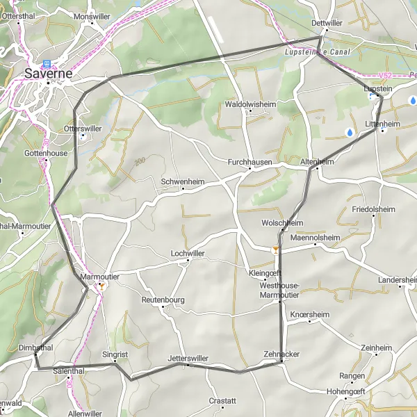
Experience the beauty of Dimbsthal and its surroundings
This moderate gravel route takes you through the scenic Dimbsthal region near Marmoutier in Alsace, France. With a total ascent of 857 meters and a distance of 40 kilometers, this route offers a great mix of challenging climbs and beautiful landscapes. Along the way, you'll pass through picturesque villages, dense forests, and get to enjoy stunning views from several viewpoints.
Marmoutier Gravel Route
Explore the rugged terrain around Marmoutier
This challenging gravel route takes you through some of the most stunning landscapes near Marmoutier in Alsace, France. With a total ascent of 783 meters and a distance of 91 kilometers, this route is perfect for gravel enthusiasts seeking adventure. The scenery is diverse, with rolling hills, picturesque villages, and beautiful viewpoints along the way.
Explore the scenic roads near Marmoutier
This road route takes you on a scenic journey through the countryside near Marmoutier in Alsace, France. With a total ascent of 333 meters and a distance of 35 kilometers, this route is suitable for cyclists of all levels. You'll be able to enjoy the quaint villages, picturesque landscapes, and beautiful architectural landmarks along the way.
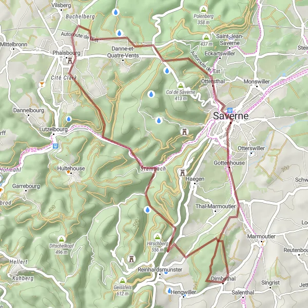
A demanding gravel route with breathtaking landscapes and iconic viewpoints
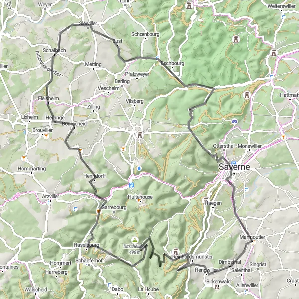
Embark on a challenging gravel adventure along this 73km route with 1878m of ascent. Starting from Marmoutier, this route showcases the highlights of the region, including Marmoutier, Grand Rosskopf, Rocher du Diable, Walscheid, Hultehouse, and Rappenfelsen. Prepare to tackle steep climbs, technical descents, and awe-inspiring landscapes. This route is recommended for experienced gravel cyclists looking for a thrilling and rewarding challenge in Alsace. Rated as a difficulty level 4 and epicness level 5, this route promises unforgettable cycling moments in the heart of nature.
Scenic road cycling adventure through picturesque villages and rolling hills
Experience the charm of Alsace on this road cycling adventure starting from Marmoutier. This 76km route with 546m of ascent will take you through the highlights of Gottesheim, Le Geiersberg, Uhlwiller, Gougenheim, Goeftberg, and Marmoutier. Enjoy the scenic landscapes, beautiful vineyards, and traditional Alsatian villages along the way. Rated as a difficulty level 2 and epicness level 3 route, this is perfect for medium-trained amateurs seeking a delightful cycling experience.
Marmoutier Gravel Challenge
Take on the gravel challenge around Marmoutier
This challenging gravel route takes you through the diverse landscapes near Marmoutier in Alsace, France. With a total ascent of 1345 meters and a distance of 89 kilometers, this route is perfect for experienced gravel cyclists seeking a demanding adventure. Along the way, you'll pass through picturesque villages, dense forests, and get to enjoy stunning views from several viewpoints.
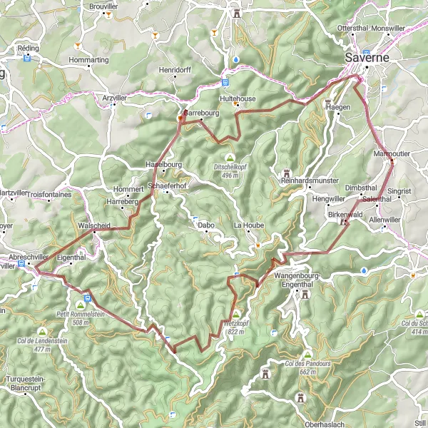
Discover the beauty of Alsace on this gravel cycling adventure
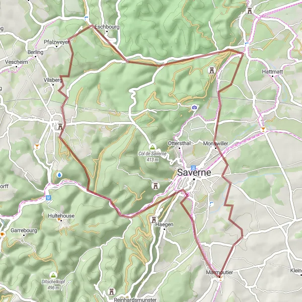
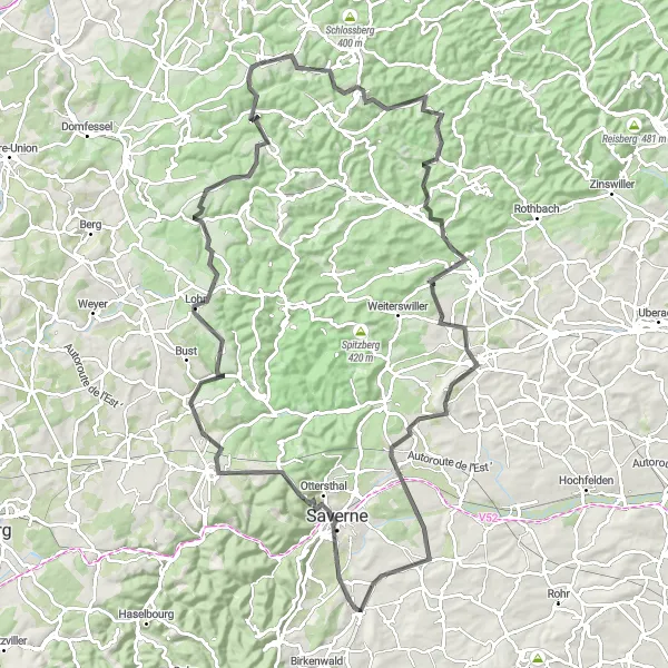
Embark on a thrilling gravel adventure along this 50km route with 678m of ascent. Starting from Marmoutier, this route takes you through the highlights of Gottenhouse, Rappenfelsen, Eschbourg, Wolfskopf, Herrenstein, Dossenheim-sur-Zinsel, and Monswiller. Enjoy the challenging gravel paths, stunning forest landscapes, and picturesque villages. This route is suitable for experienced gravel cyclists seeking a unique and rewarding adventure. Rated as a difficulty level 3 and epicness level 4, this route guarantees an exhilarating cycling experience through the beautiful Alsace region.
Conquer the challenging roads around Hengwiller
This scenic road route takes you through the picturesque countryside surrounding Hengwiller near Marmoutier, Alsace, France. With a total ascent of 1297 meters and a distance of 82 kilometers, this route is perfect for experienced road cyclists seeking a challenge. You'll ride along winding roads, pass through charming villages, and climb some steep hills, enjoying the stunning views along the way.
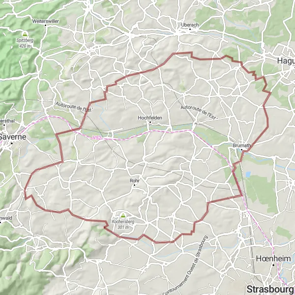
Discover the charming villages and scenic landscapes of Alsace on this road cycling route
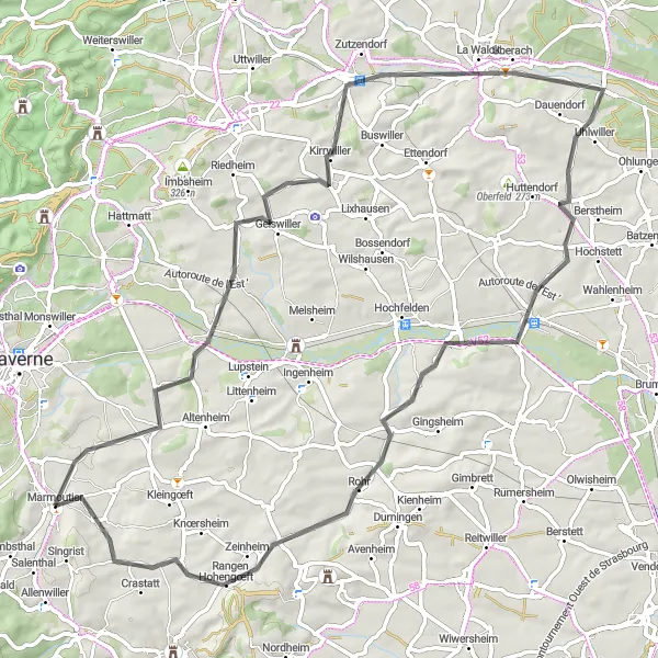
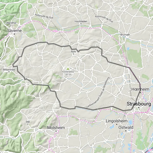
Embark on a scenic road trip through Alsace, starting from Marmoutier. This 82km route offers a mix of charming villages and beautiful landscapes, with a total ascent of 465m. Highlights include Altenheim, Gougenheim, Schiltigheim, Toit du Parking Wodli, Breuschwickersheim, Dahlenheim, Marlenberg, and Salenthal. Enjoy the rolling hills and smooth roads as you explore the unique architecture, picturesque streets, and traditional Alsatian culture along the way. Rated as a difficulty level 2 and epicness level 3 route, this is suitable for medium-trained amateurs seeking a delightful cycling adventure.
Cycling adventure through picturesque villages and scenic countryside
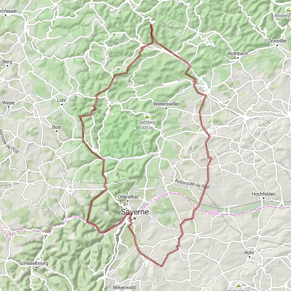
Explore the charming villages and beautiful countryside of Alsace on this road cycling route. With a total distance of 112km and 1714m of ascent, this loop takes you through the scenic highlights of Gottenhouse, Col de Saverne, Petersbach, Montbronn, Muehlberg, Goetzenbruck, Blotthuebel, Bastberg, Steinbourg, and Schwenheim. The route offers a mix of challenging climbs, rolling hills, and smooth descents, providing a great cycling challenge for well-trained amateurs. This route is rated 3 in difficulty and 4 in epicness.
Cycling routes nearby:
Nearby regions: