Explore the scenic beauty of Alsace on your bike in Oberschaeffolsheim.
Cycling routes from Oberschaeffolsheim
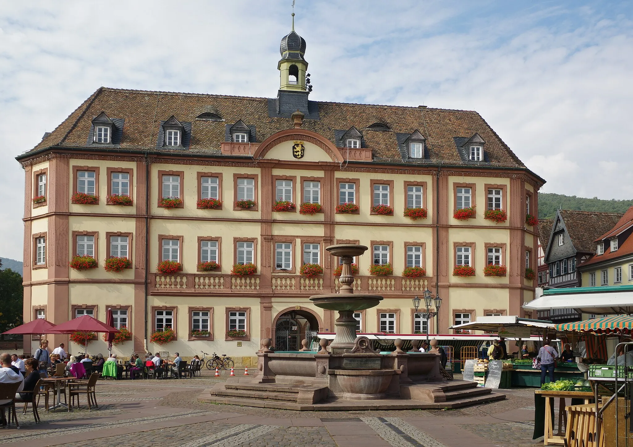
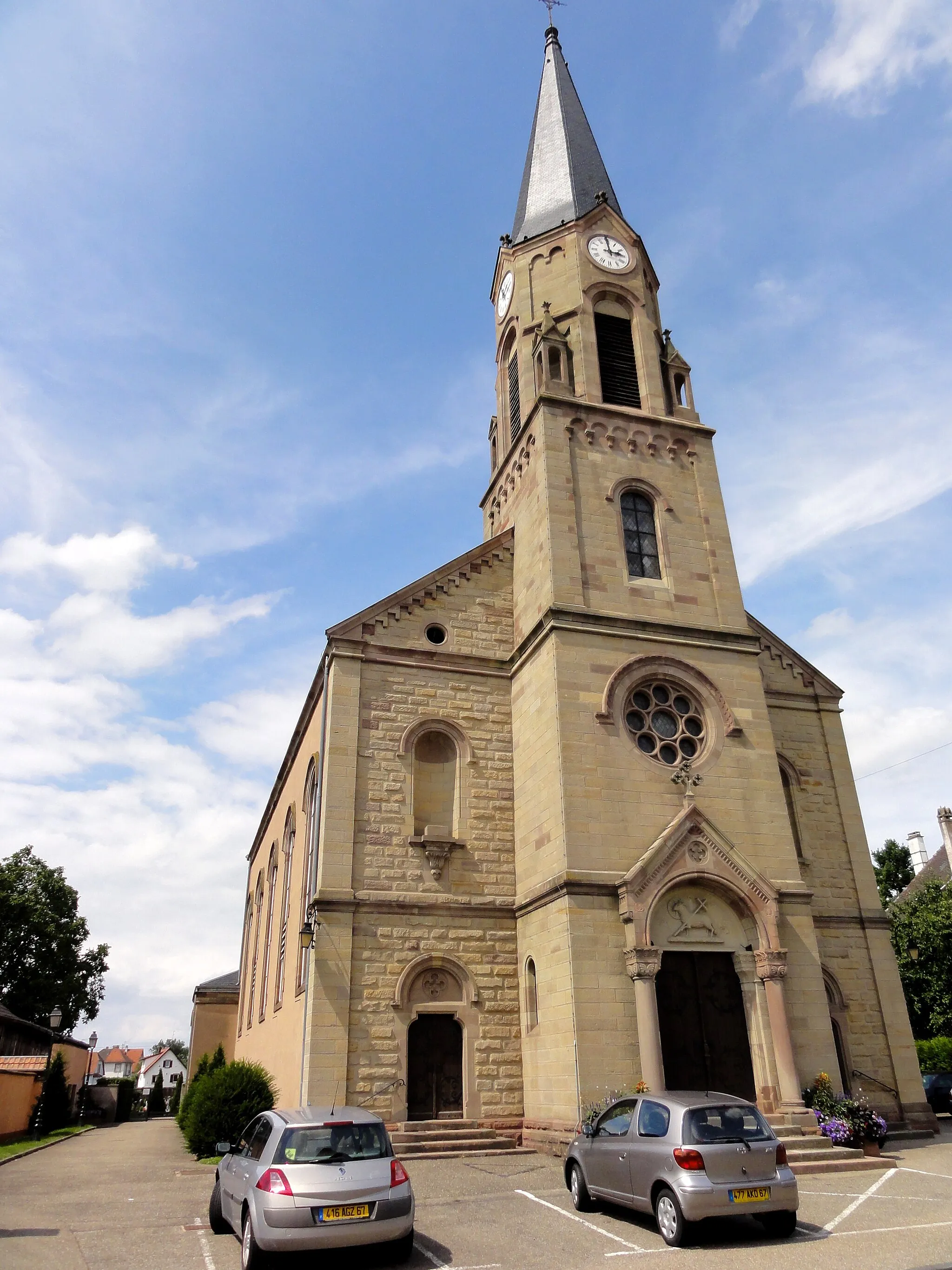
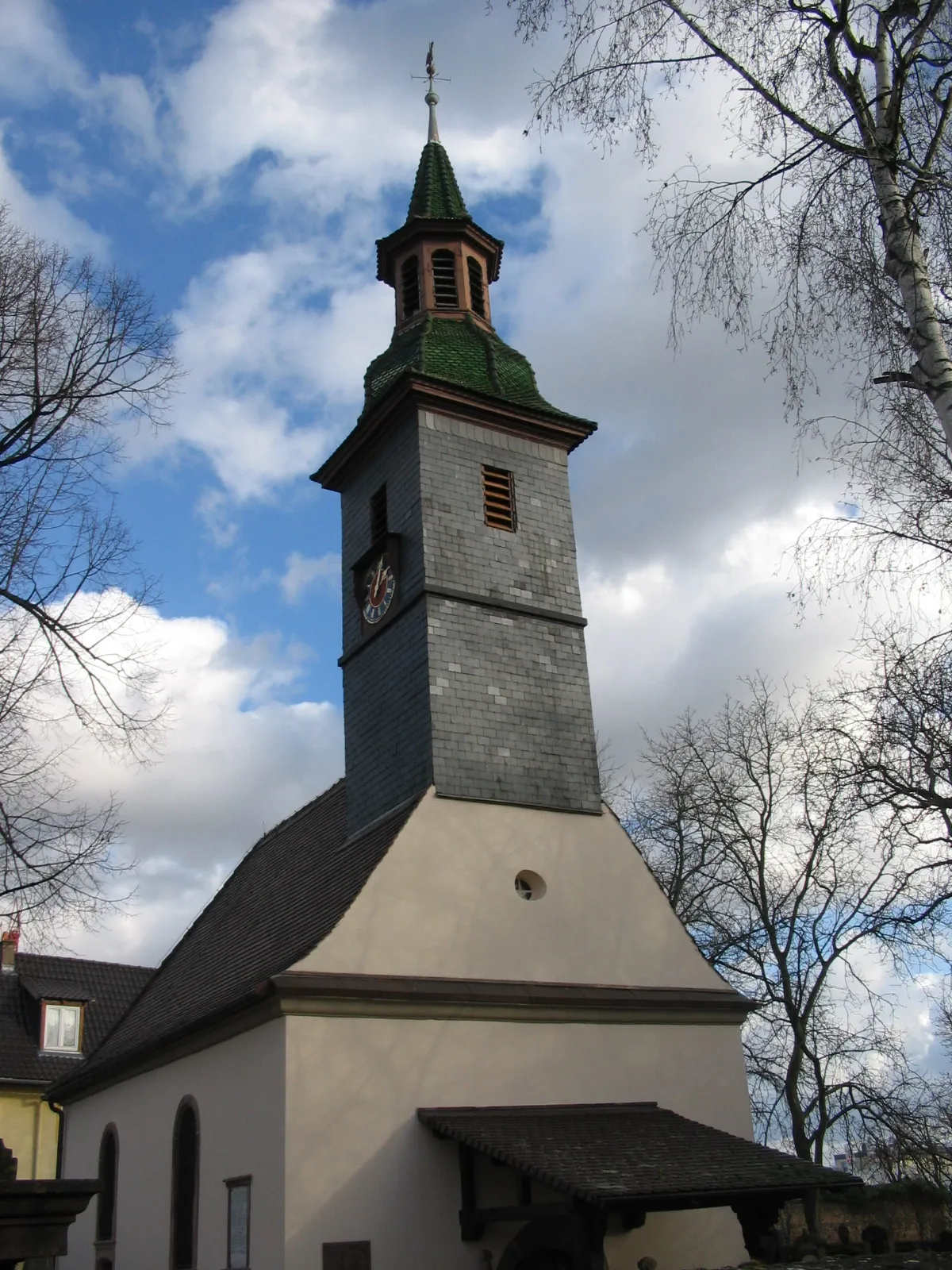
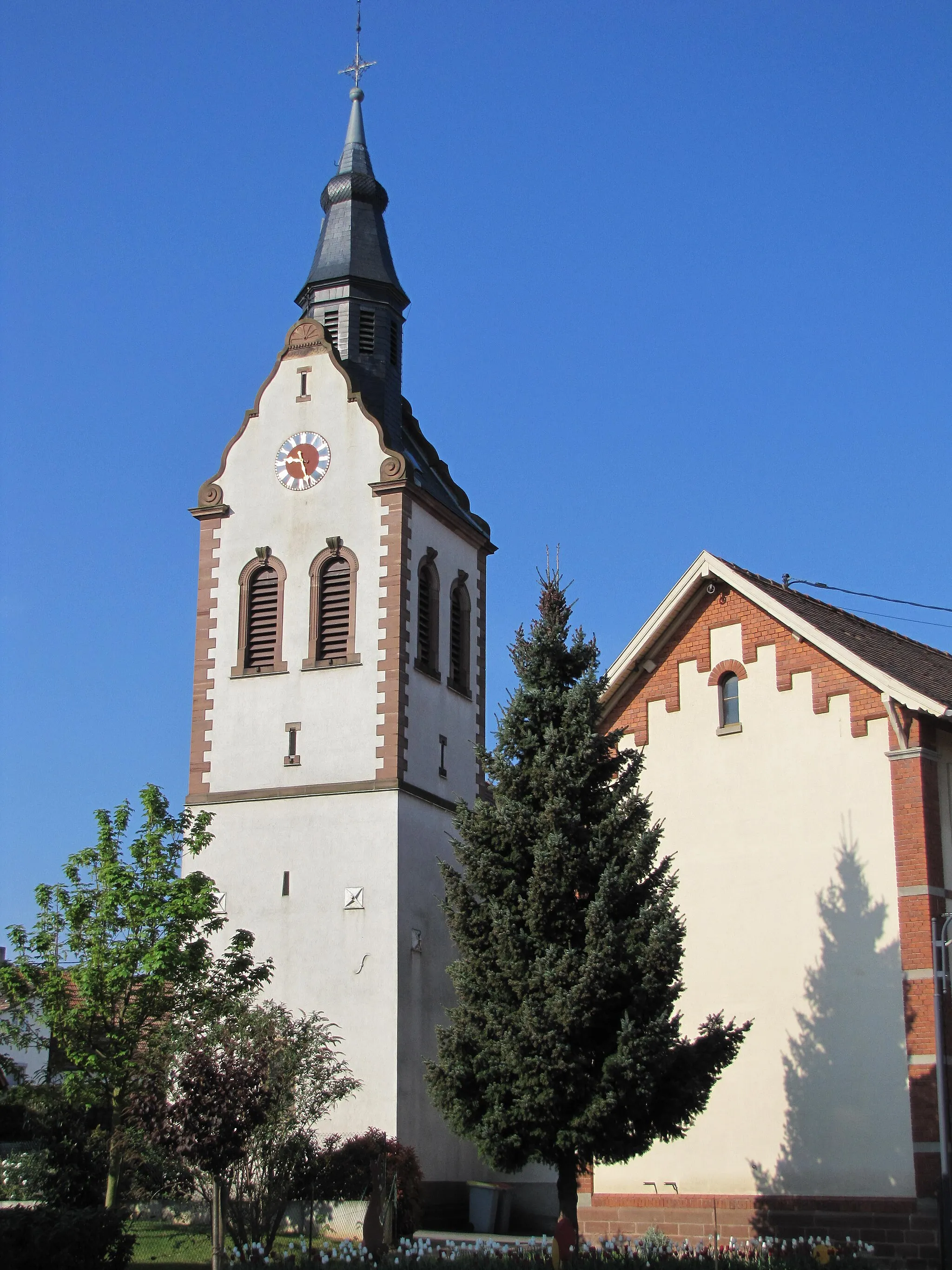
Oberschaeffolsheim, a locality in Alsace, France, offers a pleasant cycling experience. The roads here are well-maintained and provide picturesque views of the surrounding countryside. There are several cycling routes to choose from, catering to both road and gravel cyclists. Oberschaeffolsheim may not have any well-known cycling spots or famous climbs nearby, but its peaceful atmosphere and stunning landscapes make it a great destination for cyclists of all levels. Overall, it is a solid option for exploring the beauty of Alsace on two wheels.
Explore scenic routes and discover hidden gems in the countryside around Oberschaeffolsheim.
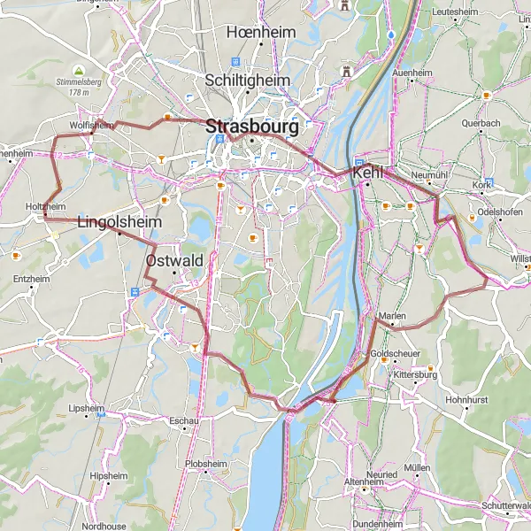
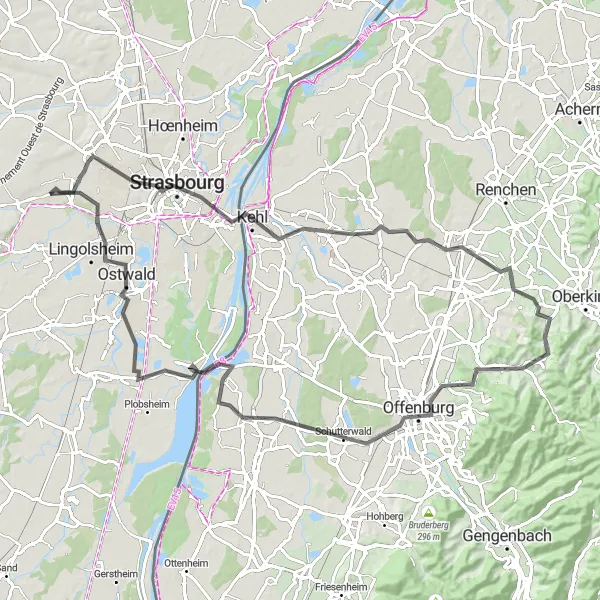
Experience the beauty of the countryside surrounding Oberschaeffolsheim as you explore scenic routes and discover hidden gems on this round-trip cycling adventure. Covering a distance of 54 kilometers and an elevation gain of 143 meters, this gravel route is suitable for well-trained amateur cyclists. Highlights along the route include Toit du Parking Wodli, Strasbourg, Kehl, Eckartsweier, Lingolsheim, and Oberschaeffolsheim. The highlight distances range from 7 kilometers to 54 kilometers. The difficulty level is assessed as 2 out of 5 due to mostly flat terrains and gravel paths. The epicness of this route is considered as 2 out of 5, offering pleasant countryside views with a touch of urban exploration.

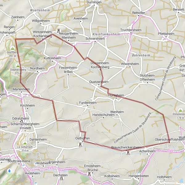
Explore the scenic villages of Dossenheim-Kochersberg and Berstett.
Embark on a thrilling gravel cycling adventure starting near Oberschaeffolsheim. This 59-kilometer route takes you through the charming villages of Dossenheim-Kochersberg, Wilwisheim, Schwindratzheim, and Berstett. With an ascent of 462 meters, this route is moderately challenging.
Pedal through picturesque vineyards and explore charming historical towns.
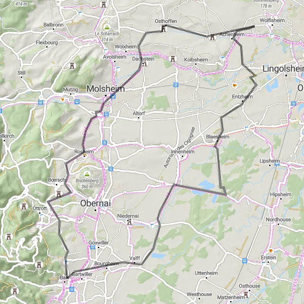
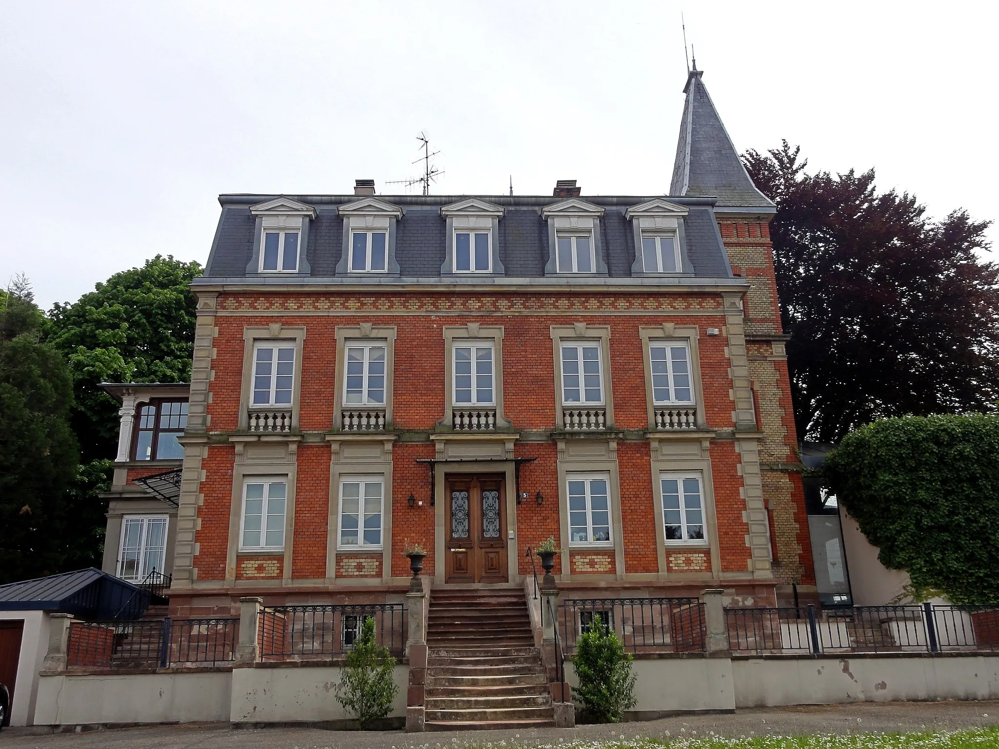
This round-trip cycling route takes you through the beautiful vineyards and historic towns of Alsace. With a total distance of 69 kilometers and an ascent of 319 meters, it is a moderate challenge suitable for well-trained amateur cyclists. The route starts near Oberschaeffolsheim and passes through highlights such as Gloeckelsberg, Blaesheim, Bourgheim, Rosheim, Molsheim, and Breuschwickersheim. The highlight distances range from 13 kilometers to 66 kilometers. The difficulty level is assessed as 3 out of 5, offering a good mix of flat stretches and gentle climbs. The route's epicness is rated as 2 out of 5, as it showcases the scenic beauty and cultural heritage of this region.
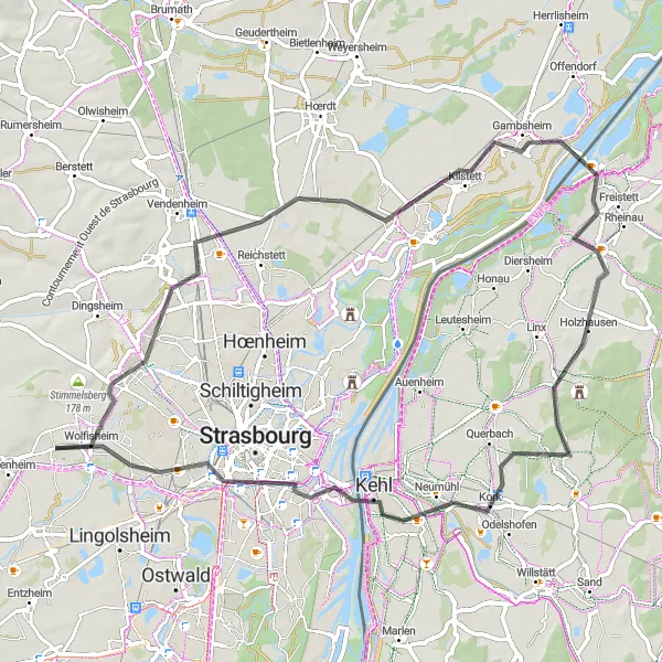
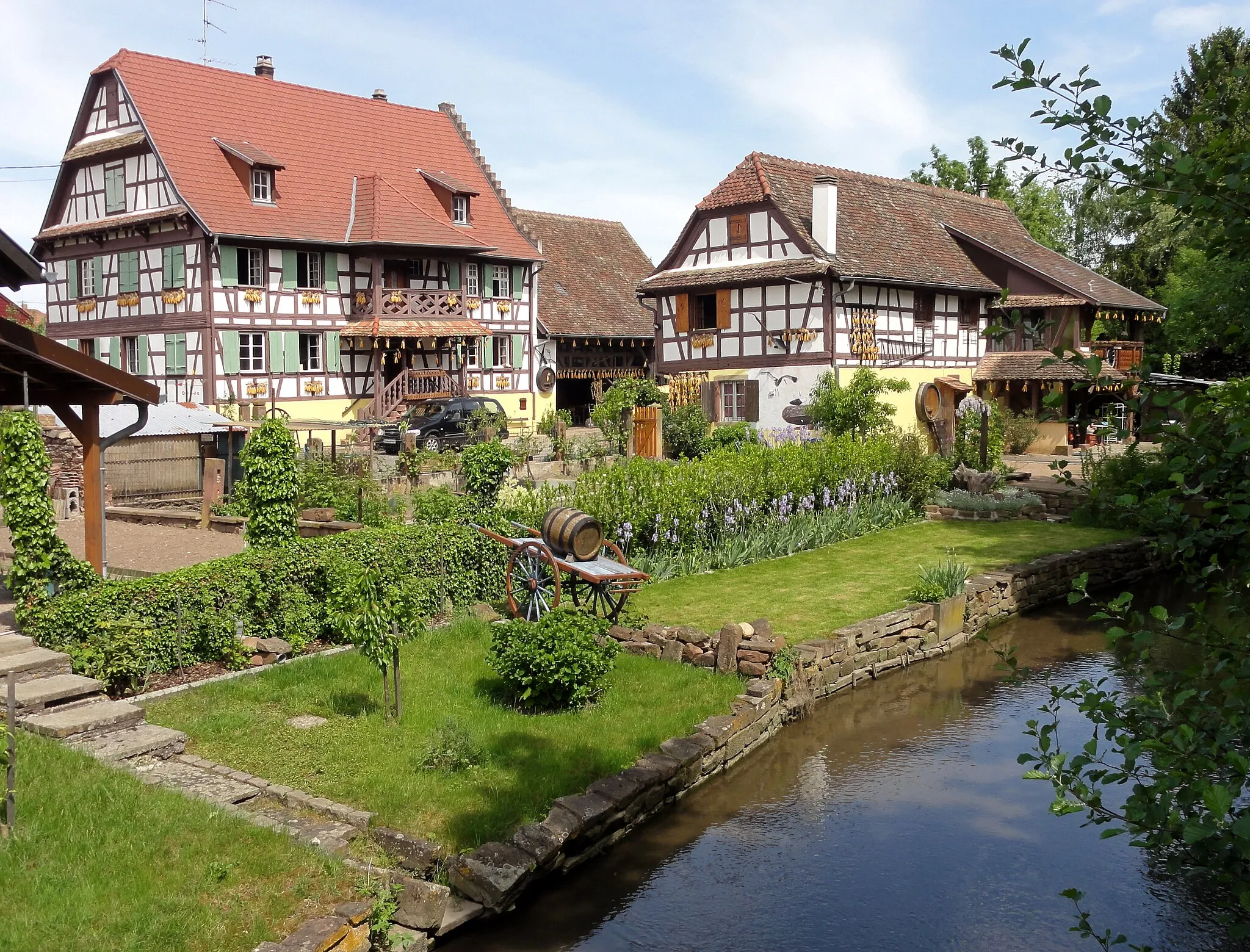
Discover the historical villages and immerse in the scenic beauty of the Alsace region.
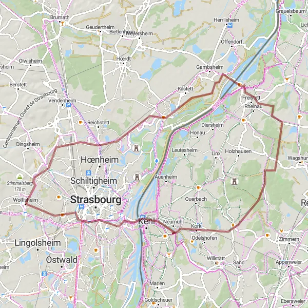
Immerse yourself in the charm of the Alsace region as you explore historical villages and scenic beauty on this round-trip cycling route. With a distance of 66 kilometers and an ascent of 158 meters, this gravel adventure is suitable for well-trained amateur cyclists. Starting near Oberschaeffolsheim, the route covers highlights such as Mundolsheim, Kilstett, Rheinau, Legelshurst, Kehl, Cathedral view, and Eckbolsheim. The highlight distances range from 7 kilometers to 64 kilometers. The difficulty level is rated as 3 out of 5 due to mostly flat terrains with a few gentle climbs. The epicness of this route is considered as 3 out of 5, combining picturesque villages with tranquil natural landscapes.
Alsace Castles Tour
Explore ancient castles and historic sites in Alsace
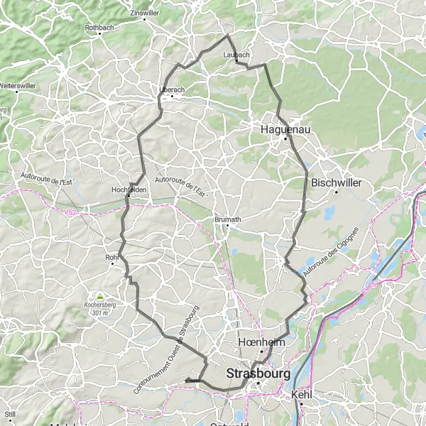
Discover the rich history of Alsace with this challenging road route that takes you through various castles and historic sites. As you cycle through picturesque countryside and rolling hills, you'll encounter impressive castles, medieval villages, and scenic viewpoints. With a difficulty rating of 5, this route is recommended for experienced and well-trained cyclists. The epicness score of 5 reflects the extraordinary experience of exploring ancient castles and immersing yourself in the region's history.
Rhine River Adventure
Explore scenic routes along the Rhine River and enchanting Alsatian villages.
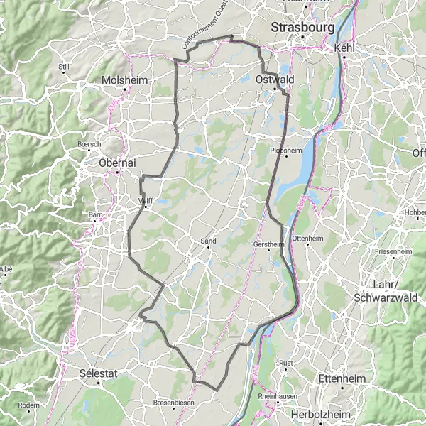
Embark on an exciting journey along the Rhine River and discover the enchanting Alsatian villages. This round-trip cycling route has a total distance of 106 kilometers and an elevation gain of 178 meters, making it suitable for well-trained amateur cyclists. Starting near Oberschaeffolsheim, the route includes highlights such as Illkirch-Graffenstaden, Plobsheim, Diebolsheim, Pierrette's Garden, Hilsenheim, Zellwiller, Krautergersheim, and Breuschwickersheim. The highlight distances range from 10 kilometers to 103 kilometers. The difficulty level is rated as 2 out of 5 due to mostly flat terrains. The epicness of the route is considered as 3 out of 5, offering scenic views and picturesque villages.
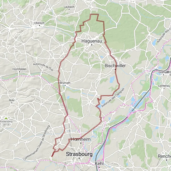
A thrilling off-road gravel adventure in Kochersberg
Embark on a thrilling off-road adventure in Kochersberg, a region known for its rolling hills and scenic countryside. This gravel route offers a challenging ascent and diverse terrain, perfect for gravel enthusiasts. With a difficulty rating of 4, it is recommended for experienced riders. The epicness score of 4 reflects the stunning natural beauty and remote landscapes you'll encounter along the way.
An unforgettable cycling adventure in Strasbourg
Embark on an unforgettable cycling adventure in Strasbourg and its surrounding areas. This road route takes you through scenic countryside, charming villages, and notable landmarks. With a difficulty rating of 4, it is suitable for experienced riders. The epicness score of 4 reflects the legendary status of Strasbourg as a cycling destination.
Cycling through scenic landscapes and historical towns near Oberschaeffolsheim
This road cycling route near Oberschaeffolsheim takes you on a journey through picturesque landscapes and charming towns. With a total distance of 65 kilometers and a moderate ascent of 163 meters, it is suitable for well-trained amateur cyclists. The route offers a combination of smooth roads and beautiful countryside views.
Embark on a grand gravel tour reaching Oberhausbergen and Oberhoffen-sur-Moder.
Experience the ultimate gravel cycling adventure with this 92-kilometer route starting near Oberschaeffolsheim. Ride through picturesque villages and take in the beauty of the Alsace region. With a challenging ascent of 330 meters, this route is suitable for experienced gravel cyclists.
Cycling routes nearby:
Nearby regions: