Scenic rides in Sélestat
Cycling routes from Selestat
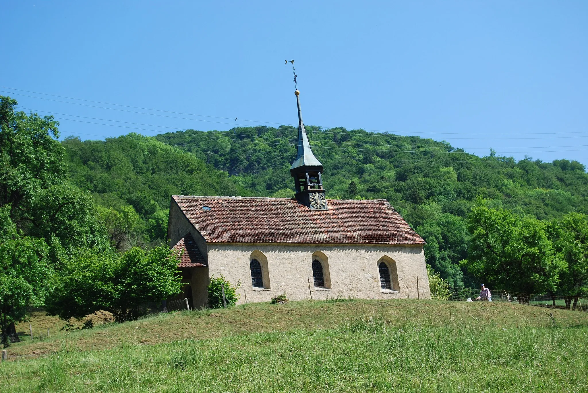
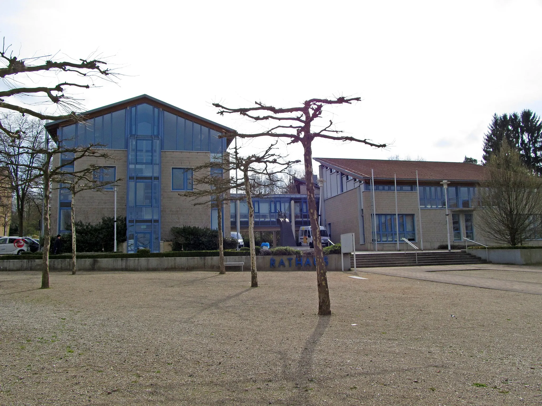
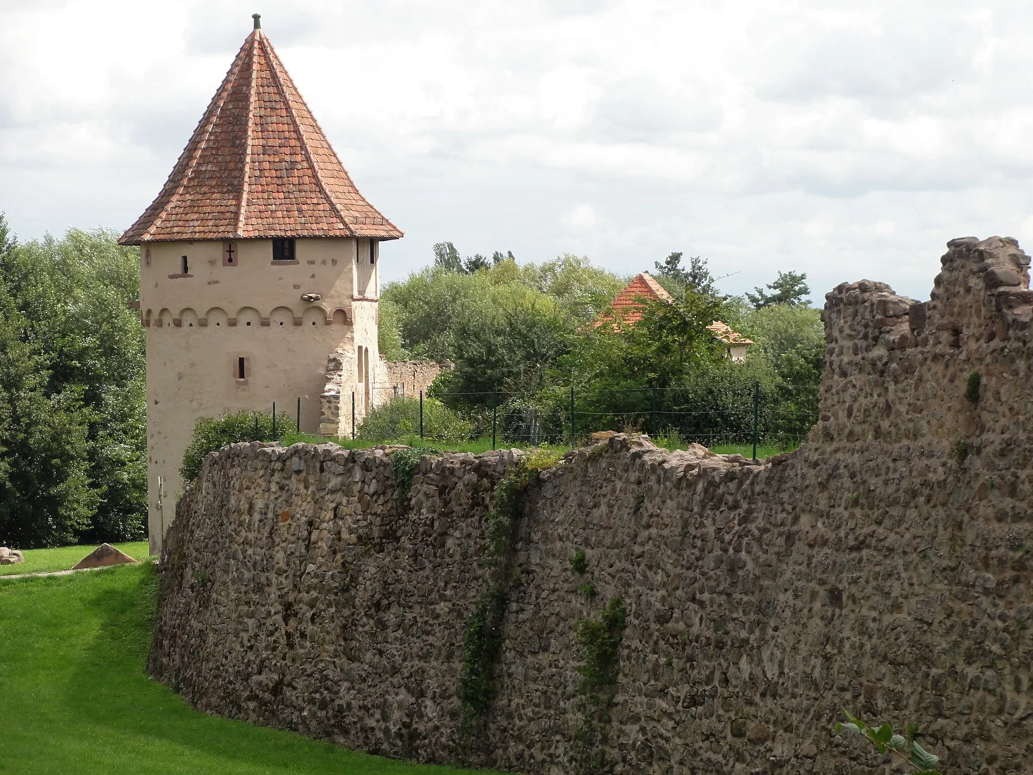
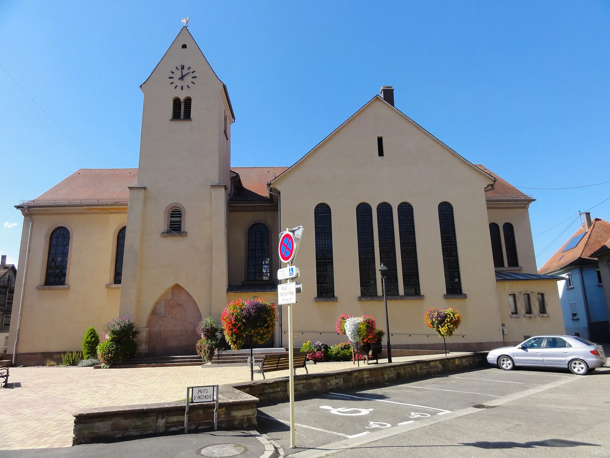
Sélestat is a town in the Alsace region of France. As a road or gravel cyclist, Sélestat offers decent cycling opportunities with rolling hills and scenic routes. The town has cycling-friendly infrastructure, including dedicated paths, making it suitable for moderate rides. While there are no well-known cycling spots, Sélestat is close to Mont Sainte-Odile, a popular destination among cyclists for its challenging climb. Overall, Sélestat is a good choice for road and gravel cyclists who enjoy medium difficulty rides with beautiful landscapes.
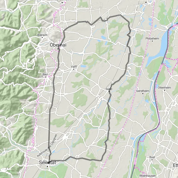
Alsace Vineyard Loop
A picturesque cycling route through the Alsace region, passing by charming vineyards and historic villages.
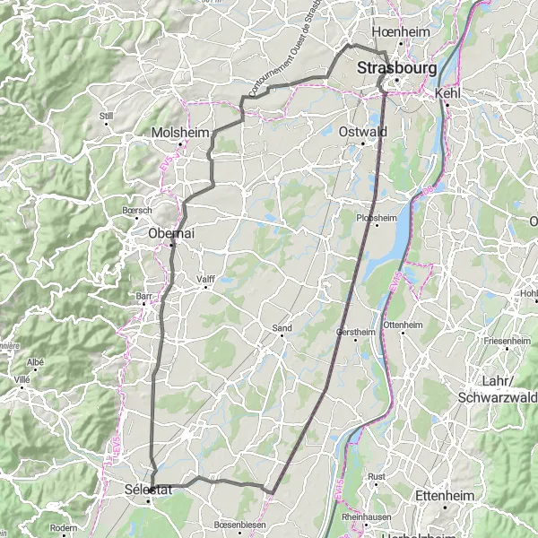
The Alsace Vineyard Loop is a stunning cycling route that takes you through the beautiful vineyards and villages of the Alsace region. With a total distance of 109 kilometers and an ascent of 244 meters, this route is suitable for well-trained amateur cyclists. The route offers breathtaking views of the rolling hills and vineyards, as well as the opportunity to explore the charming villages along the way.
Gravel Route 1

Embark on an adventurous gravel cycling route in the heart of the Alsace region
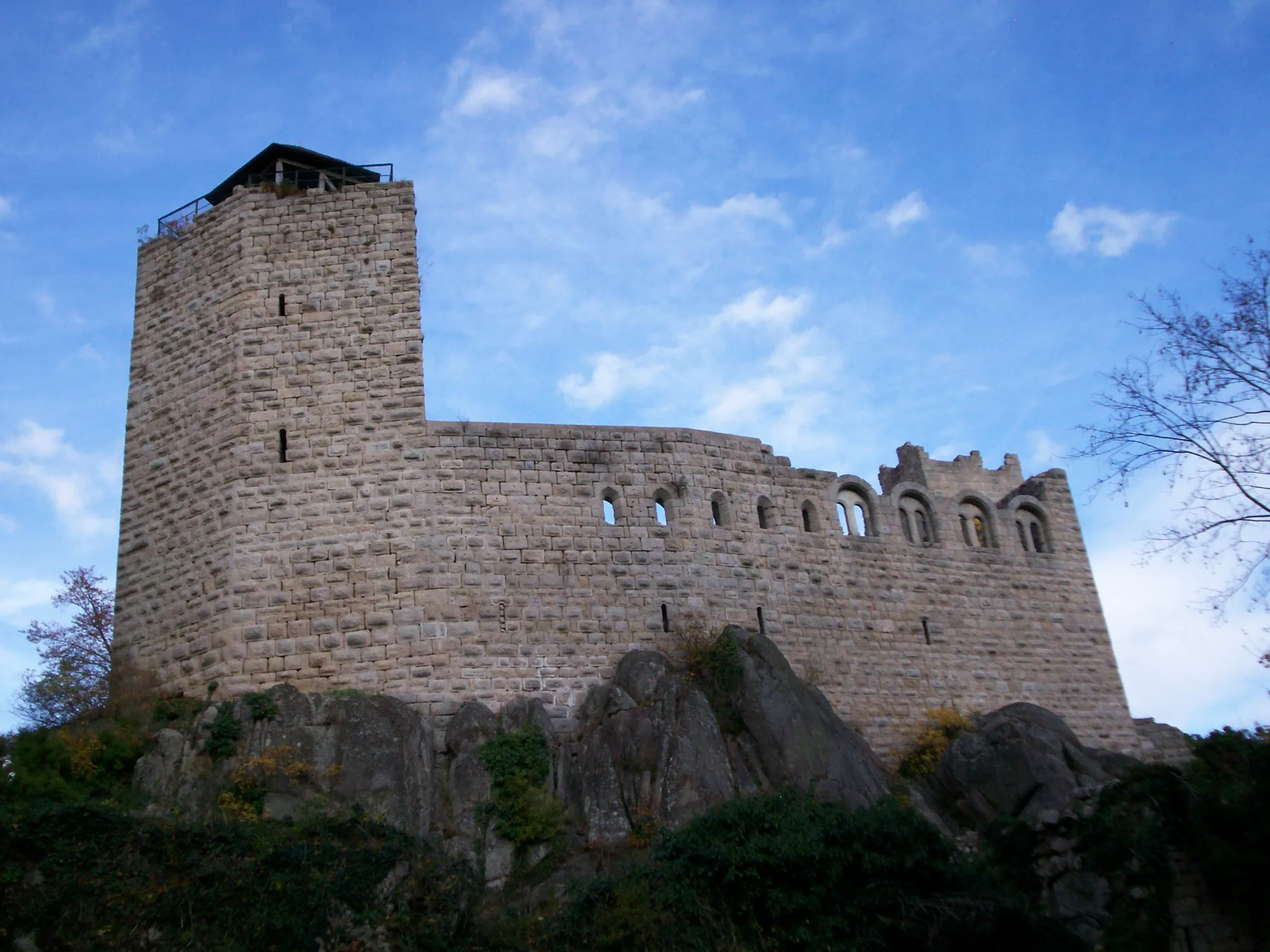
This gravel cycling route takes you through the scenic landscapes of the Alsace region, offering a thrilling off-road experience. With a distance of 105 km and an ascent of 1769 m, it is recommended for experienced gravel cyclists. Along the way, you will encounter highlights such as Sélestat, Dachfirst, Ungersberg, Schelmeck, Oberhaslach, Rocher du Geissfels, Bœrsch, and Bourgheim.
Gravel Route 2
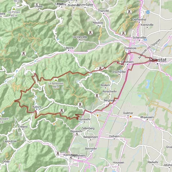
Explore the hidden gems of Alsace on this gravel cycling route
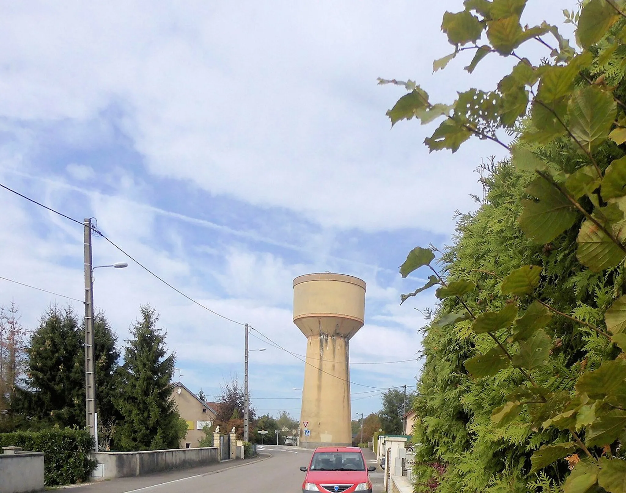
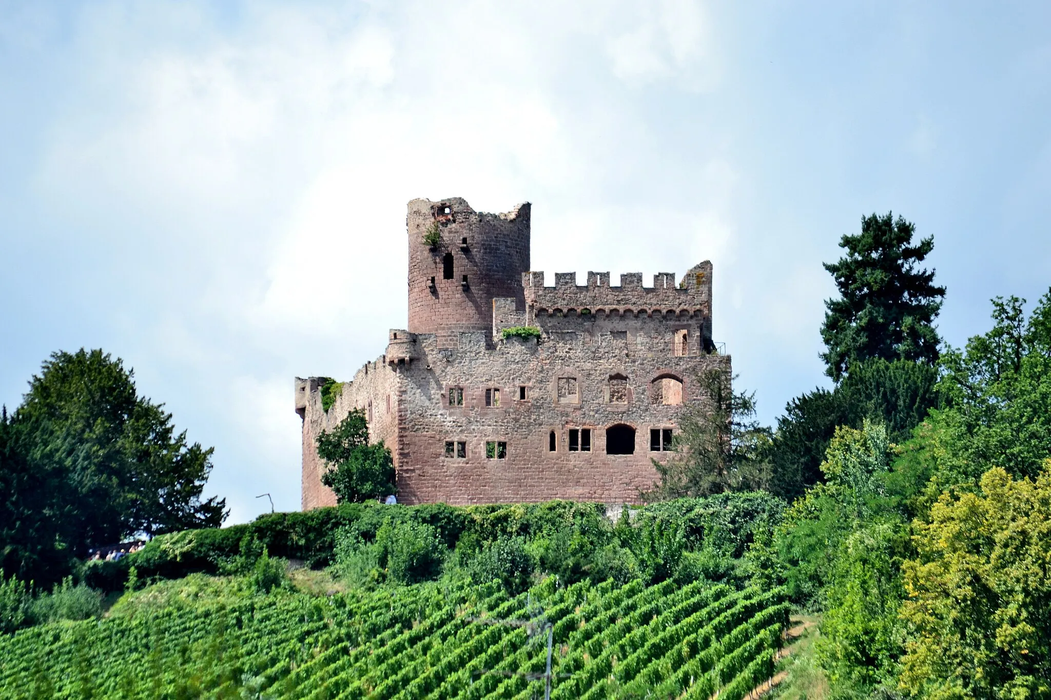
This gravel cycling route allows you to discover the hidden gems of Alsace, including charming villages, historical sites, and stunning viewpoints. With a distance of 65 km and an ascent of 1542 m, it offers a challenging yet rewarding adventure for gravel enthusiasts. Highlights along the route include Château d'eau de Sélestat, Ribeauvillé, Vue sur les ruines du Girsberg et du Haut Ribeaupierre, Aubure, Hirzberg, Ohirn, Château du Haut-Kœnigsbourg, Kintzheim, Hahnenberg, and Sand.
Embark on a thrilling road cycling adventure from Sélestat to Quartier des Tanzmatten
Get ready for a challenging road cycling tour from Sélestat to Quartier des Tanzmatten. With a total ascent of 196 meters and a distance of 68 kilometers, this route is ideal for experienced cyclists. Experience the beauty of nature and explore the towns and landmarks along the way.
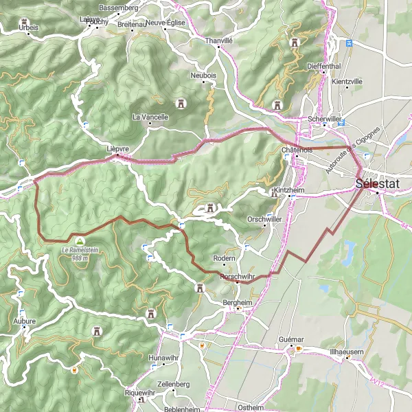
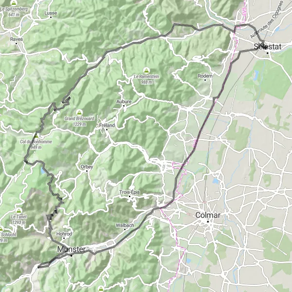
Embark on an adventurous gravel ride to Sélestat and Sainte-Croix-aux-Mines
Delve into the adventure of gravel cycling with this 46-kilometer route from Sélestat to Sainte-Croix-aux-Mines. With a total ascent of 762 meters, this route offers a thrilling experience for gravel enthusiasts. Don't miss the charming towns of Rodern, Châtenois, and Sélestat along the way.

Experience the beauty of the Alsace wine region on this gravel cycling route
This gravel cycling route takes you through the charming villages and vineyards of the Alsace wine region. With a distance of 92 km and an ascent of 133 m, it is suitable for all levels of cyclists. Highlights along the route include the Banc de l'impératrice, Dambach-la-Ville, Krautergersheim, Plobsheim, and Witternheim.
Road Route 2
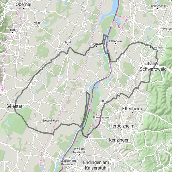
Embark on a scenic road cycling adventure in the Black Forest
This road cycling route takes you on a journey through the Black Forest, offering breathtaking views and challenging climbs. With a distance of 125 km and an ascent of 295 m, it is recommended for well-trained cyclists. Along the way, you will encounter highlights such as Sermersheim, Gerstheim, Allmannsweier, Lahr/Schwarzwald, Pavillon, Mahlberg, Weisweil, Pierrette's Garden, Diebolsheim, Artolsheim, and Quartier des Tanzmatten.
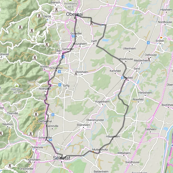
Embark on a scenic road cycling excursion to Gertwiller and Muttersholtz
Discover the beauty of Gertwiller and Muttersholtz on this road cycling route starting near Sélestat. With a total ascent of 205 meters and a distance of 85 kilometers, this route offers a moderate challenge for cyclists. Enjoy the stunning landscapes and cultural highlights along the way.
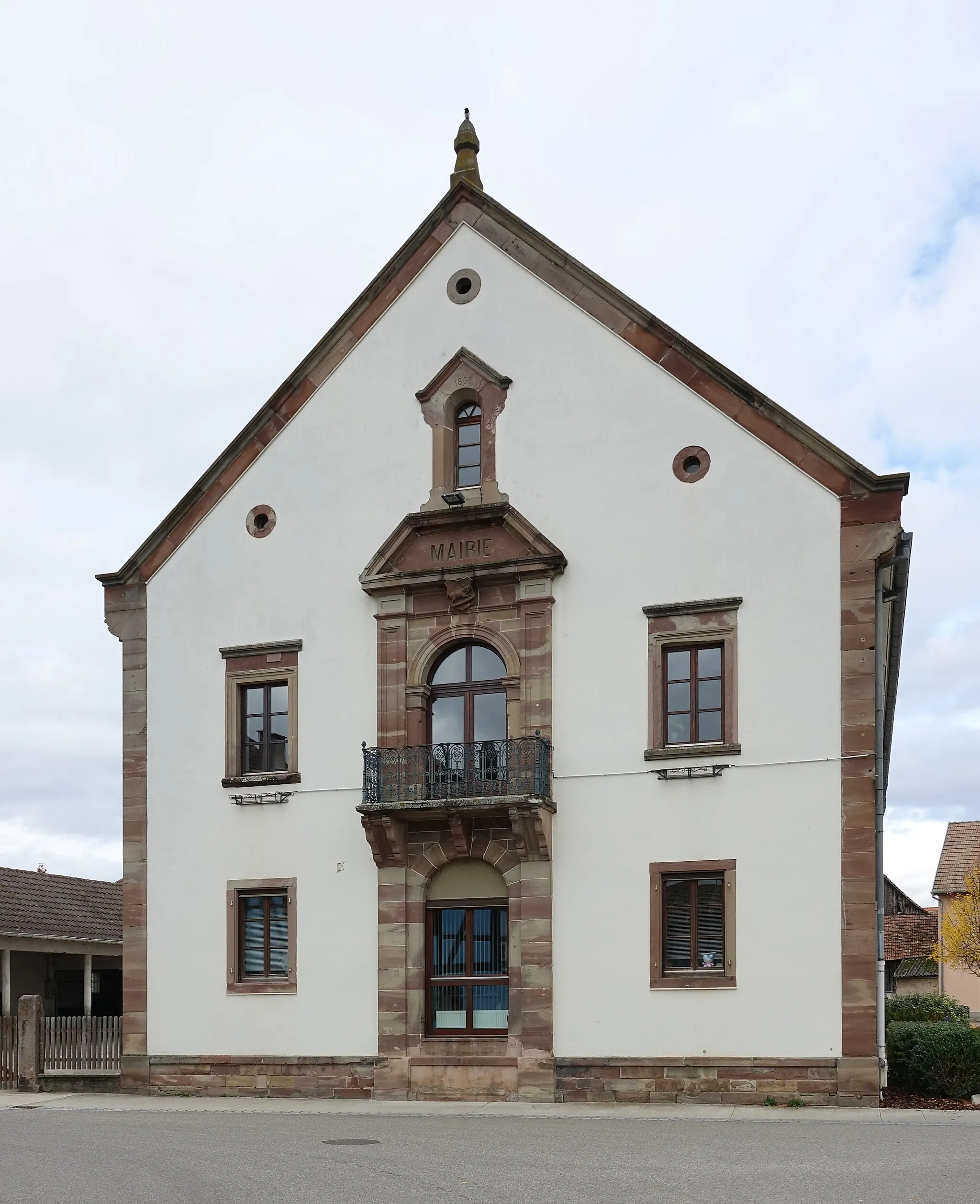
Embark on a scenic road cycling tour with a visit to Château d'eau de Sélestat
Experience the beauty of Alsace on this 120-kilometer road cycling tour with various highlights along the way. Challenge yourself with a total ascent of 1714 meters and enjoy breathtaking views. Don't miss the impressive Château d'eau de Sélestat and other historical landmarks along the route.
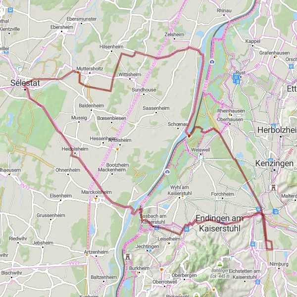
Explore the countryside of Sélestat and Bindernheim on this gravel route
Experience an adventurous gravel ride through the picturesque towns of Sélestat and Bindernheim. With a total ascent of 170 meters and a distance of 84 kilometers, this route offers a moderate challenge for well-trained amateurs. Enjoy the scenic views and cultural landmarks along the way.
Cycling routes nearby:


Nearby regions: