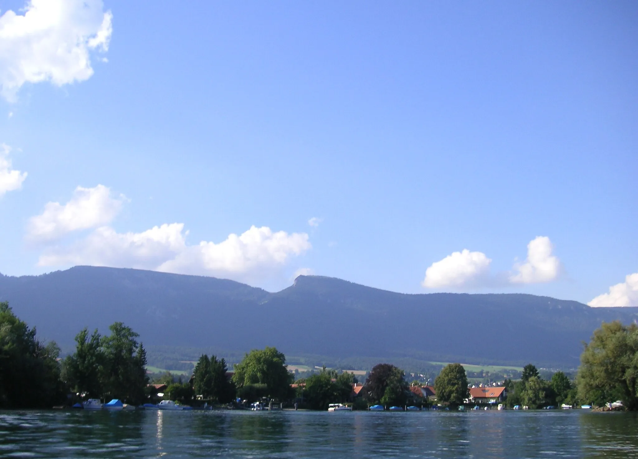
Experience the beauty of Alsace while cycling through Wittenheim.
Cycling routes from Wittenheim
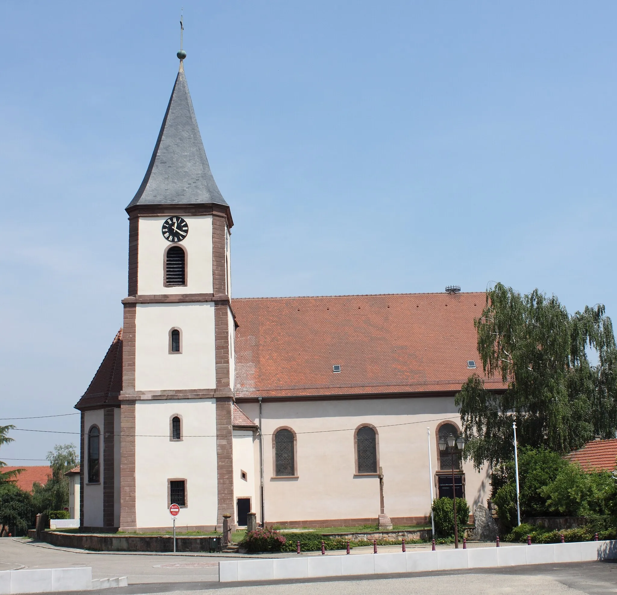
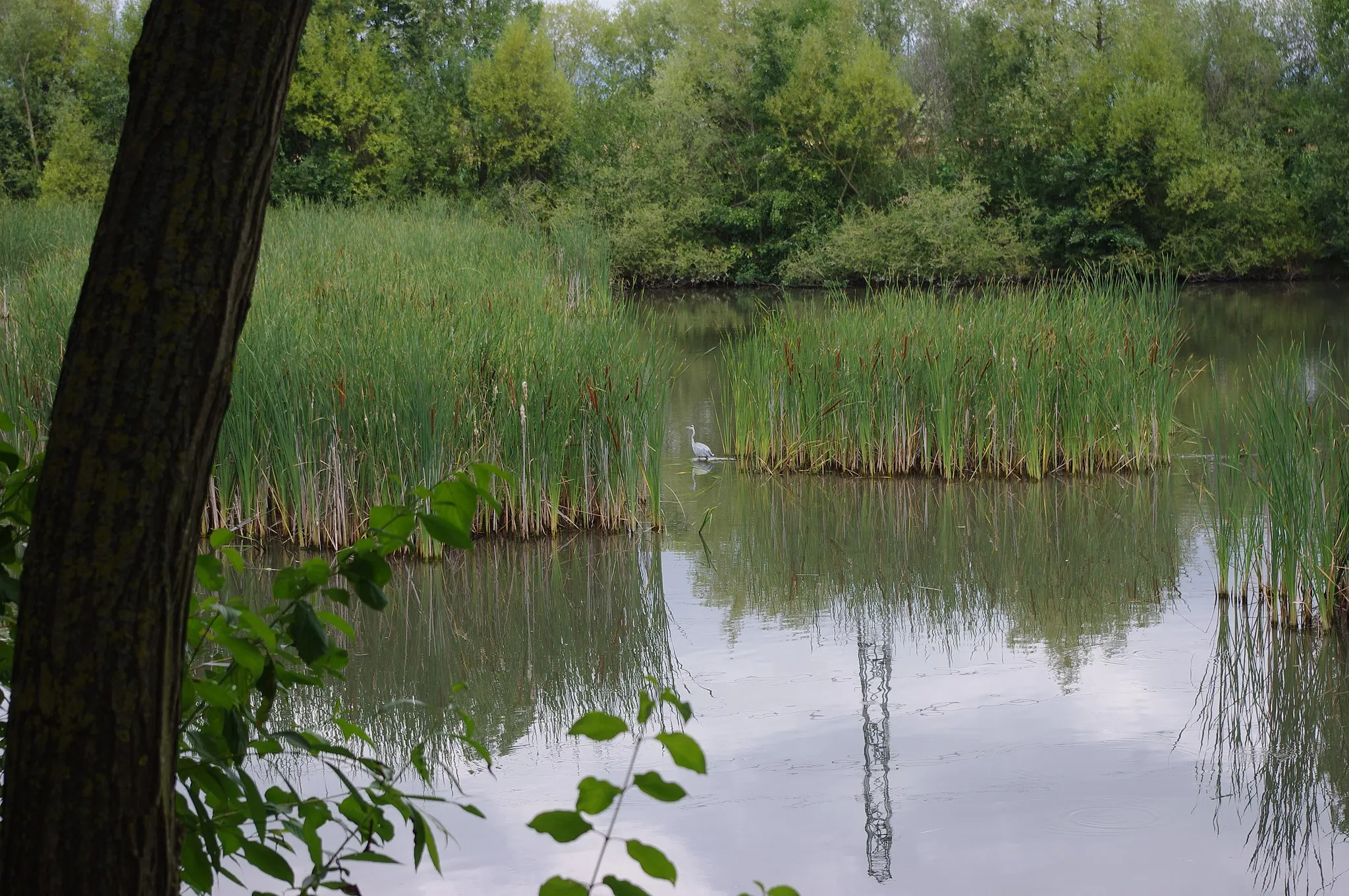
Wittenheim is a charming town located in the Alsace region of France. As a road and gravel cyclist, you will find plenty of scenic routes to explore in this area. The town itself is surrounded by picturesque countryside and vineyards, offering beautiful views as you pedal along. One of the notable cycling spots nearby is the Vosges Mountains, which offer challenging climbs and rewarding descents. Whether you're a beginner or an experienced cyclist, Wittenheim has something to offer for everyone.
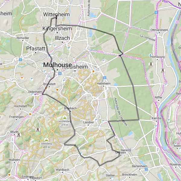
Pass through the vibrant city of Mulhouse and be captivated by scenic views along the way. Don't miss the opportunity to visit the impressive Vue sur Mulhouse viewpoint.
This road route takes you through Kingersheim and Mulhouse, allowing you to explore both urban and scenic landscapes. The route offers a moderate challenge with 354m of ascent over 61km. Experience the cultural richness of Mulhouse and enjoy the beautiful surroundings.
Richwiller Gravel Loop
Embark on a gravel adventure through the scenic countryside of Richwiller
The Richwiller Gravel Loop is a 40-kilometer long gravel cycling route with an ascent of 193 meters. This challenging route is designed for experienced gravel riders. It takes you through the beautiful countryside around Richwiller, offering stunning views and a mix of paved and unpaved roads. The difficulty of this route is rated 5 out of 5, making it suitable for highly trained cyclists. The epicness rating is 3 out of 5.
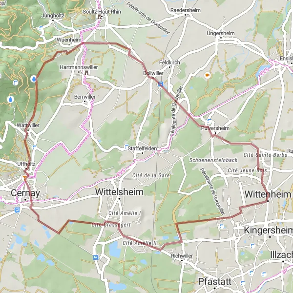
Explore the charming towns of Bollwiller, Soultz-Haut-Rhin, and Ensisheim, and enjoy panoramic views from the Table d'orientation. Don't miss the historic Cité Sainte-Barbe.
This gravel route takes you through picturesque towns and offers stunning views. It has a moderate difficulty level with a total ascent of 432m over a distance of 67km. The route is relatively short but challenging enough to provide an enjoyable cycling experience.
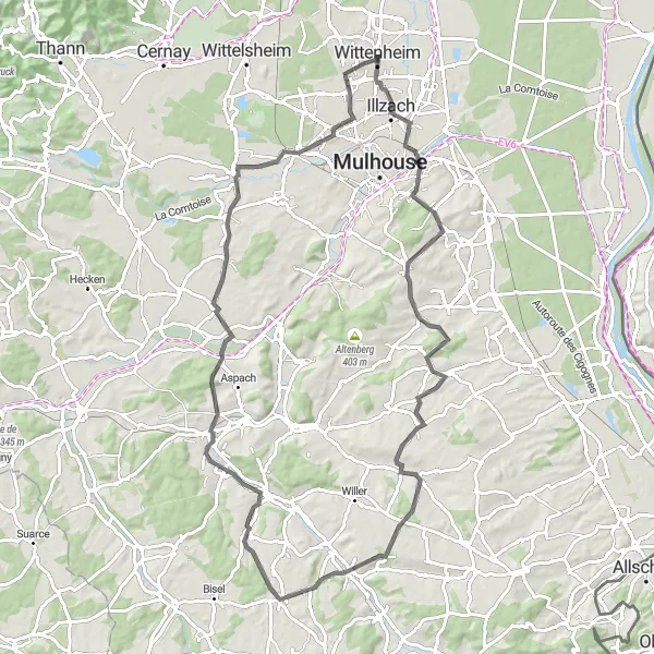
Embark on a challenging road route featuring scenic landscapes and opportunities to discover hidden gems along the way.
This road route presents a challenging ride with a total ascent of 829m over 85km. Pass through Kingersheim and Kœtzingue, explore the lesser-known towns of Riespach and Carspach, and savor the beauty of Pfastatt's natural surroundings. Prepare for an adventure-filled ride amidst stunning landscapes.
Discover the scenic beauty of the Battenheim region on this road cycling circuit
The Battenheim Road Circuit is a 64-kilometer long road cycling route near Wittenheim. With an ascent of 245 meters, this route offers a moderate challenge for well-trained amateur cyclists. You will ride through the idyllic countryside around Battenheim, passing by vineyards, charming villages, and rolling hills. The difficulty rating for this route is 3 out of 5, making it accessible for most cyclists. The epicness rating is 2 out of 5.
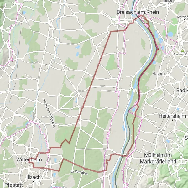
Discover scenic landscapes, including picturesque hills and captivating viewpoints, amidst the calmness of small towns and villages.
This gravel route takes you through idyllic countryside locations, providing a tranquil and immersive cycling experience. With a total ascent of 152m over a distance of 87km, this route offers a relaxed ride for cyclists seeking peaceful surroundings.
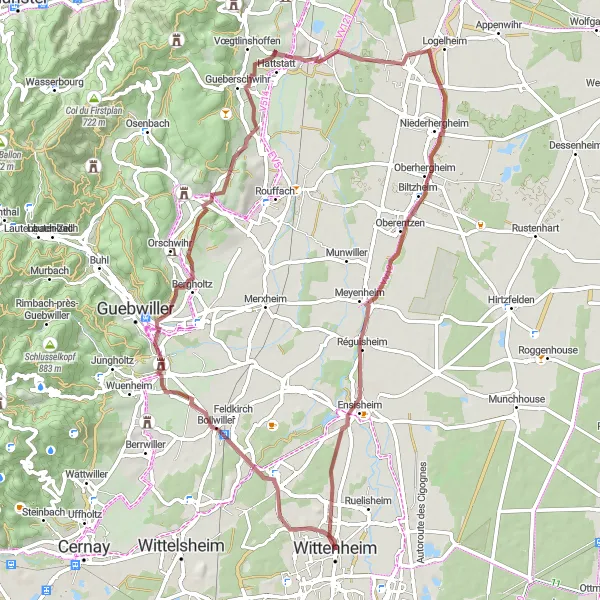
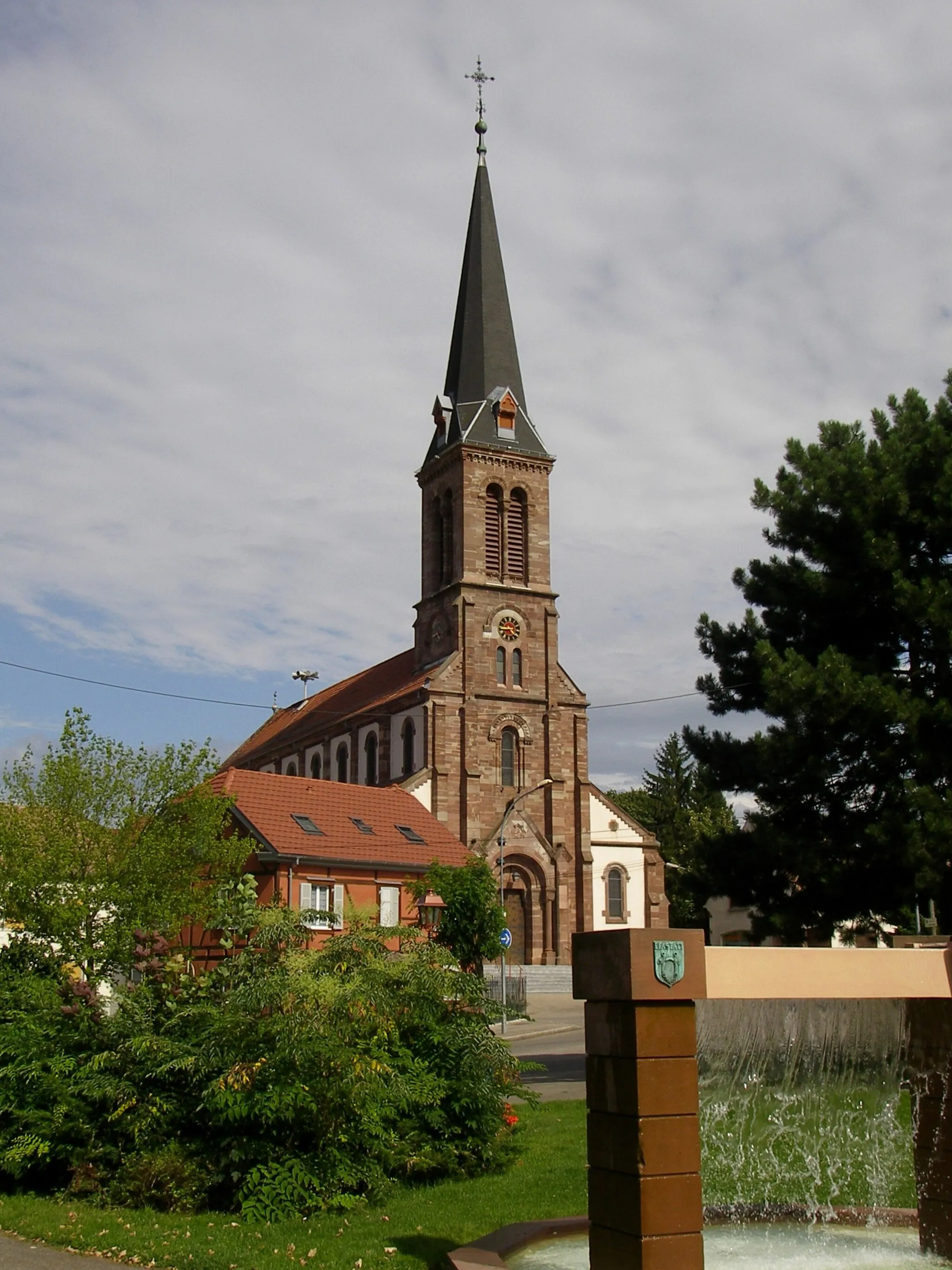
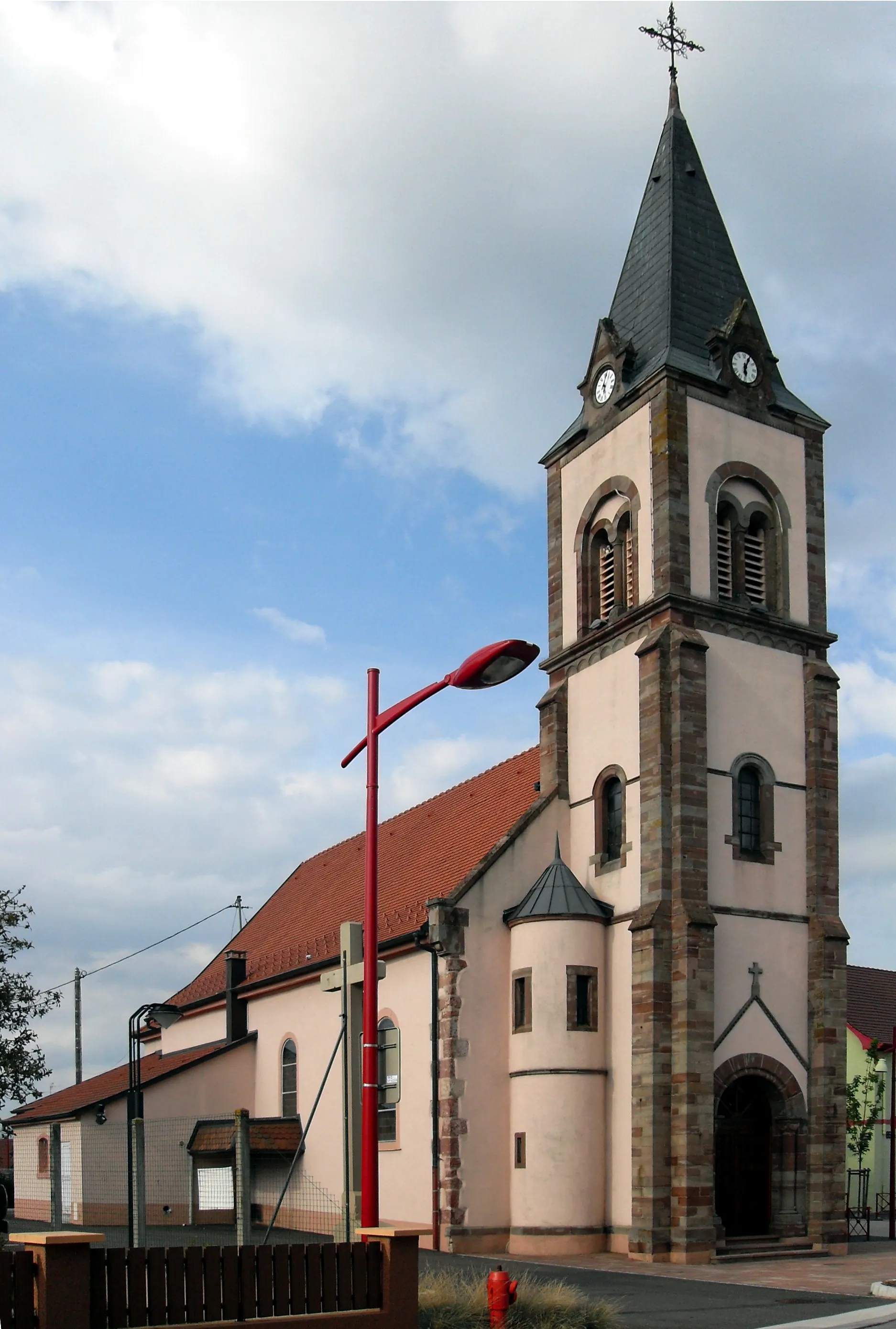
Ensisheim Circuit
Explore the charming town of Ensisheim on this road cycling route
The Ensisheim Circuit is a scenic road cycling route starting near Wittenheim. This route takes you through picturesque villages and beautiful landscapes. With a total distance of 68 kilometers and an ascent of 34 meters, it is a moderately challenging ride suitable for well-trained amateur cyclists. The epicness of this route is rated 3 out of 5.
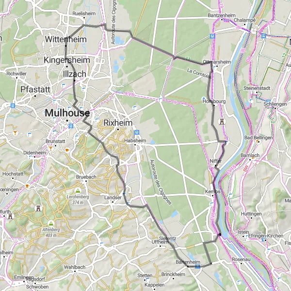
Experience a leisurely ride through charming villages and scenic landscapes on this easy road route.
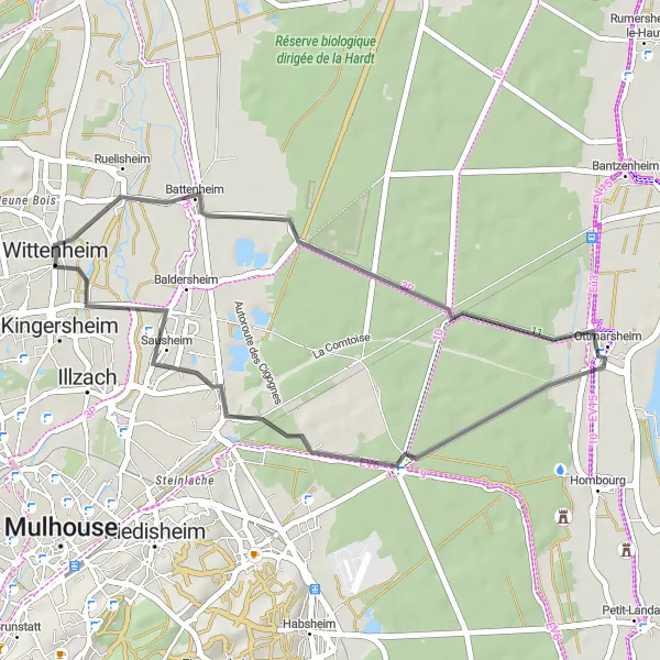
This road route is perfect for a relaxed cycling adventure, with minimal ascent of 43m over 33km. Discover the beauty of Battenheim, admire the Romanesque architecture in Ottmarsheim, and immerse yourself in the lively atmosphere of Kingersheim.
Bollwiller Gravel Adventure
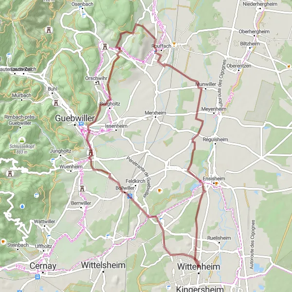
Embark on a challenging gravel adventure through the beautiful countryside of Bollwiller
The Bollwiller Gravel Adventure is a 52-kilometer long gravel cycling route with an ascent of 397 meters. This challenging route is recommended for experienced gravel riders. It takes you through the stunning countryside around Bollwiller, offering picturesque views and a mix of challenging terrain. The difficulty rating for this route is 5 out of 5, making it suitable for highly trained cyclists. The epicness rating is 3 out of 5.
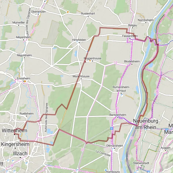
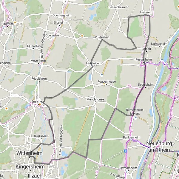
Experience the beauty of the Battenheim countryside on this gravel cycling circuit
The Battenheim Gravel Circuit is a 66-kilometer long gravel cycling route starting near Wittenheim. With an ascent of 86 meters, this route is suitable for intermediate gravel riders. You will explore the scenic countryside around Battenheim and enjoy breathtaking views of vineyards and rolling hills. The difficulty rating for this route is 3 out of 5, making it accessible for most well-trained amateur cyclists. The epicness rating is 2 out of 5.
Cycling routes nearby:

Nearby regions: