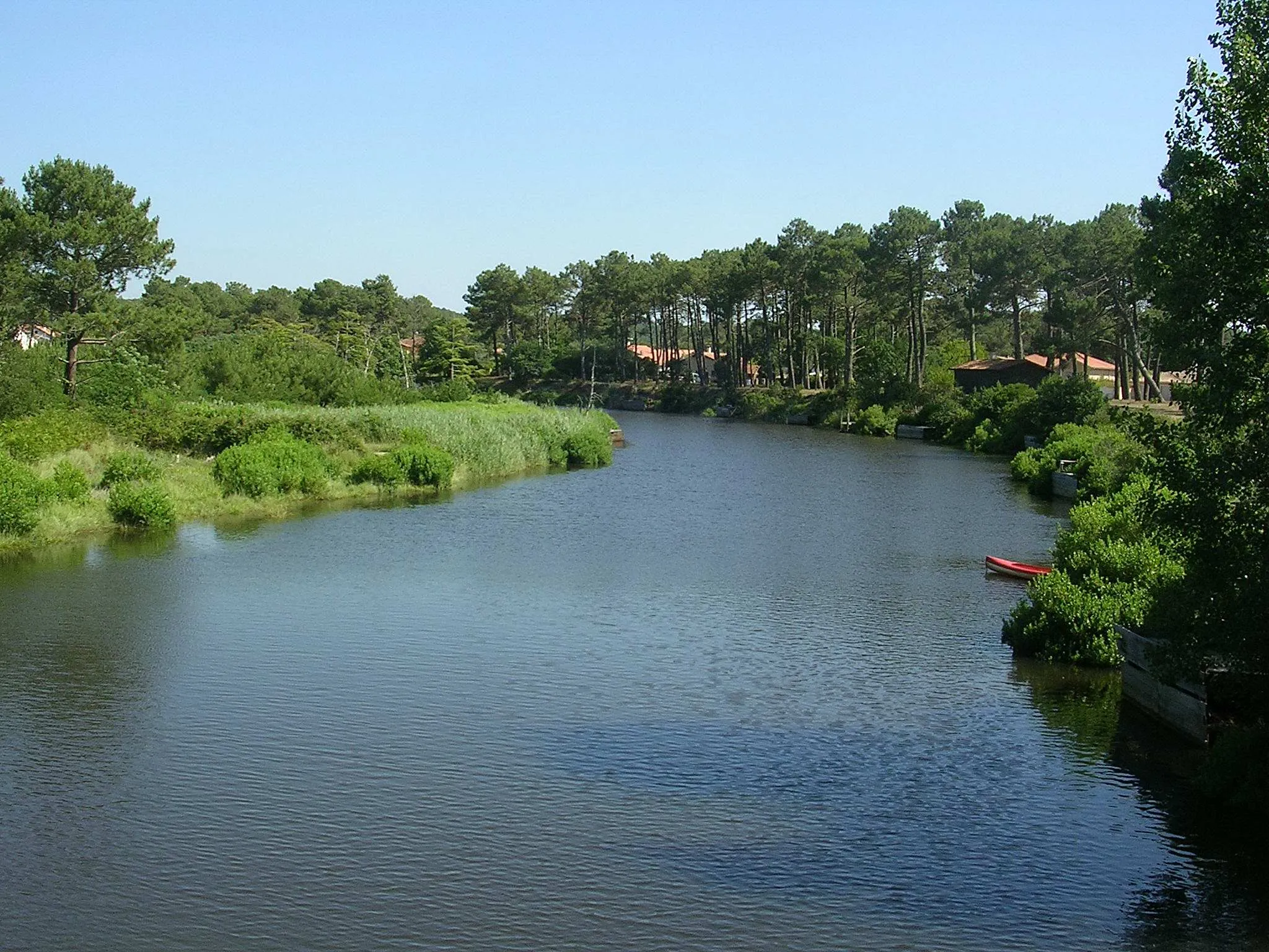
Leisurely rides in the picturesque Landes de Gascogne.
Cycling routes from Labouheyre
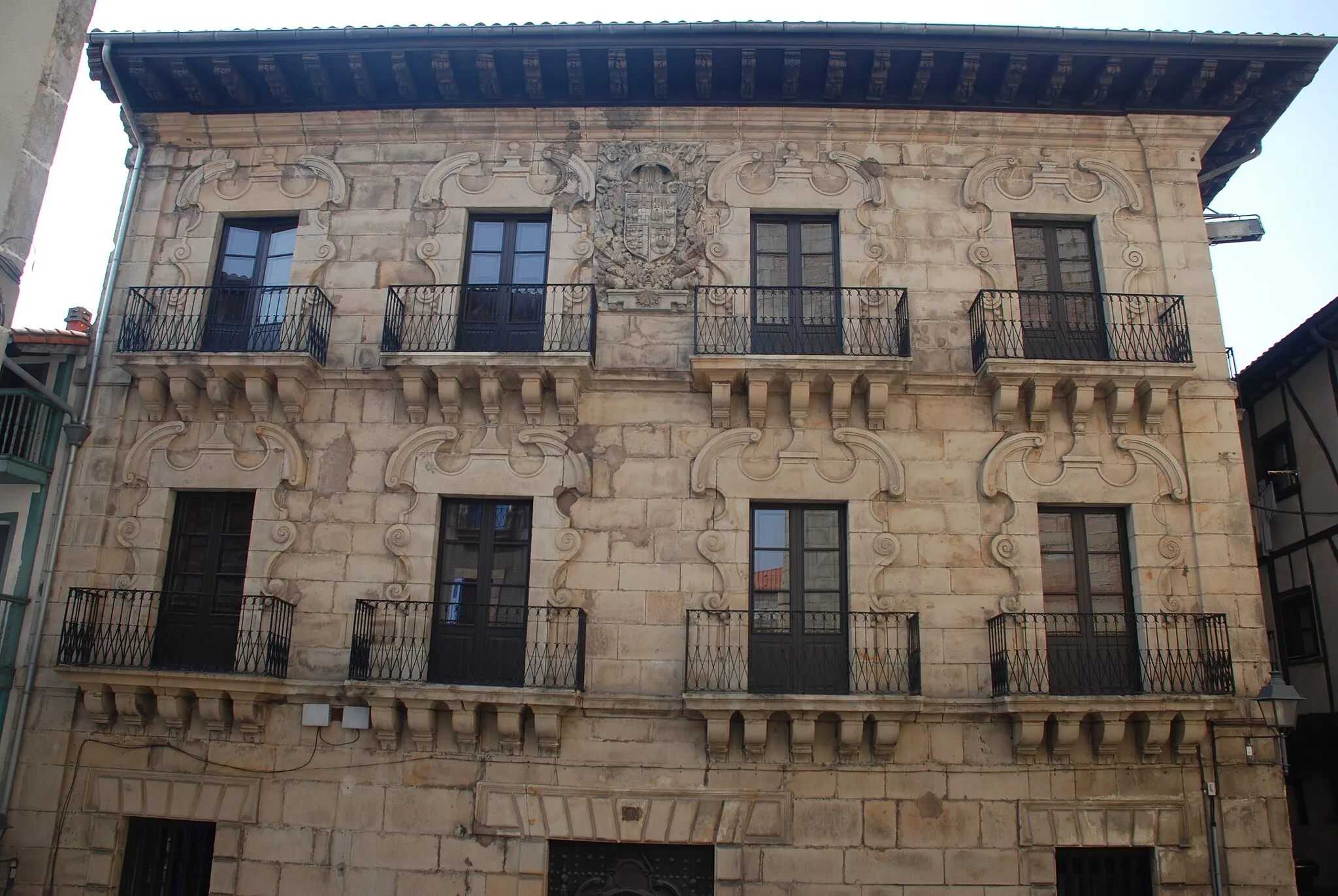
Labouheyre is a town located in the Aquitaine region of France. From a cyclist's perspective, Labouheyre offers mostly flat terrain, making it suitable for leisurely rides or beginners. While there are no famous cycling-related spots directly in Labouheyre, the town serves as a gateway to the nearby Parc Naturel Régional des Landes de Gascogne, a natural park with several cycling routes. Additionally, the region is known for its beautiful pine forests and charming villages, providing a pleasant atmosphere for cyclists. Overall, Labouheyre offers a relaxed cycling experience amidst scenic natural surroundings.

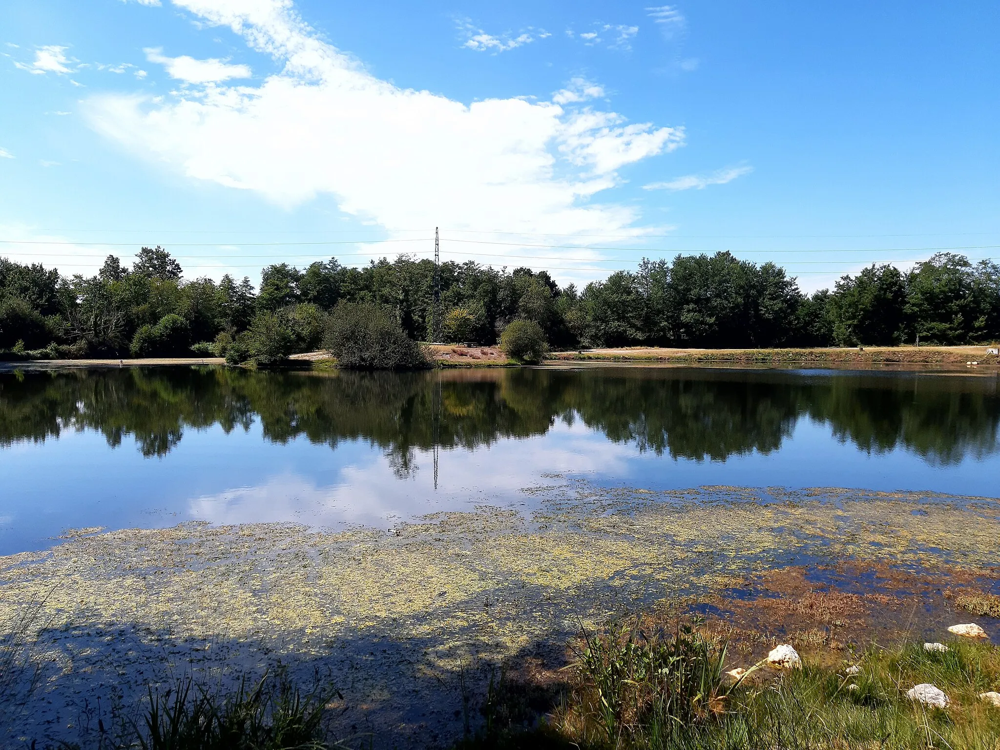
Experience the natural beauty of the Green Route near Labouheyre
Cycle through stunning natural landscapes on this 68-kilometer road route featuring a relatively low difficulty level and an elevation gain of 107 meters. Enjoy the peaceful countryside and beautiful views. Highlights include the village of Liposthey, known for its preserved marshland area. Don't miss the charming village of Pissos, where you can discover its rural charm and visit local farms. Commensacq offers a picturesque setting with traditional houses and a tranquil atmosphere, perfect for a relaxing break.

Discover the charming village of Lüe on this scenic round-trip route
Embark on a scenic cycling adventure from Labouheyre to Lüe and back. Enjoy the picturesque countryside and small, traditional villages along the way. With moderate difficulty and an elevation gain of 211 meters, this 79-kilometer road route is perfect for well-trained amateurs. Don't miss the highlight of this route, Lüe, a charming village that's worth a stop to explore its unique architecture and historical sites.

Embark on an exciting gravel adventure around Escource
The Escource gravel adventure is a shorter route suitable for riders looking for a thrilling off-road experience. With a distance of 37 kilometers and an ascent of 152 meters, this route offers diverse terrain and beautiful natural scenery. It is recommended for cyclists with intermediate skills in gravel riding. Explore the countryside near Labouheyre and enjoy the tranquility offered by Escource.

Embark on a scenic cycling loop from Escource to Gastes
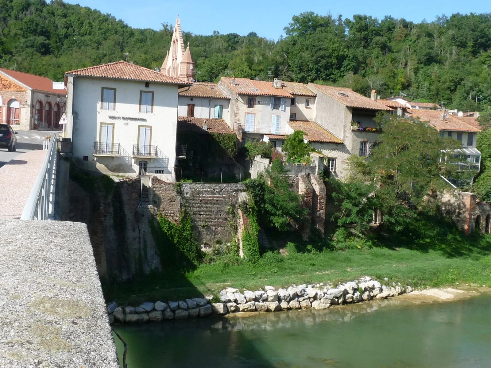
Experience the beauty of the Aquitaine region with this cycling loop that takes you from Escource to Gastes. With a distance of 69 kilometers and an ascent of 220 meters, this road route is suitable for cyclists seeking both natural and cultural highlights. Explore the picturesque villages of Escource, Sainte-Eulalie-en-Born, and Gastes, each offering their unique treasures along the way.

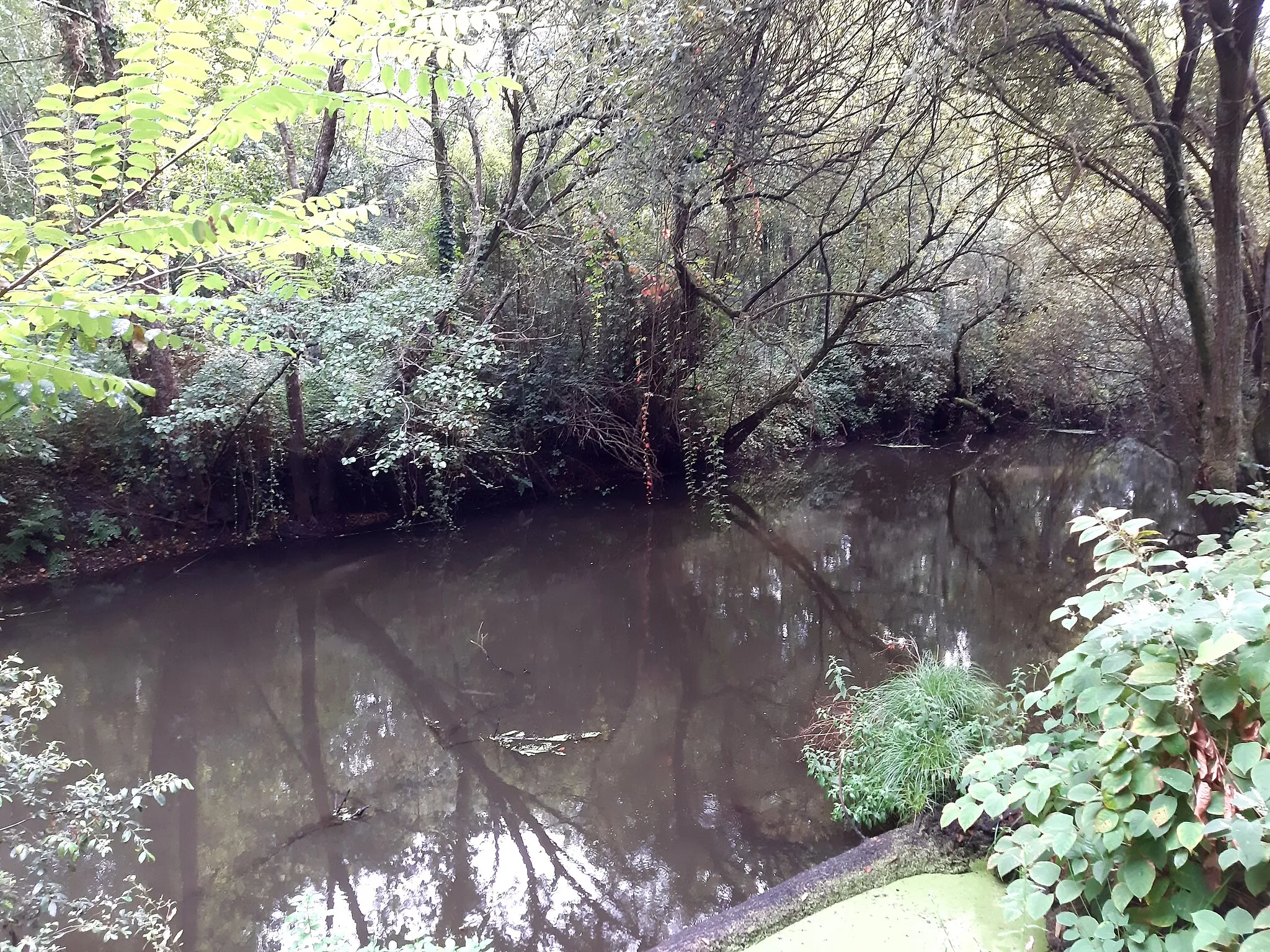
Discover the scenic Harriou trail on your gravel bike
The Harriou gravel trail offers a diverse riding experience suitable for gravel bike enthusiasts. With a total distance of 92 kilometers and an ascent of 237 meters, this route provides a mix of challenging off-road sections and smooth gravel paths. It is recommended for experienced cyclists with proper equipment. The trail takes you through the beautiful landscapes near Labouheyre and offers unique viewpoints along the way.
Labouheyre Adventure

Embark on an adventurous cycling journey through diverse landscapes
Get ready for an exciting cycling adventure starting from Labouheyre. This 100-kilometer road route features diverse landscapes, including forests, farmland, and charming villages. With a difficulty rating of 4 and an elevation gain of 318 meters, it's recommended for experienced cyclists. Highlights of the route include Labouheyre itself, a small town with a rich history, as well as the unique sights and attractions in Arengosse, Beylongue, and Garrosse.
Trensacq to Sabres Road Ride

Discover the beauty of Trensacq and Sabres on this road ride
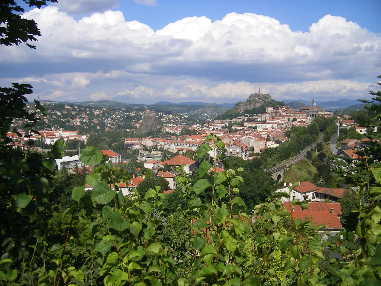
The Trensacq to Sabres road ride is a challenging yet rewarding route that showcases the natural beauty of the Aquitaine region. With a total distance of 100 kilometers and an ascent of 153 meters, this route is suitable for experienced cyclists looking for a scenic adventure. Get ready to explore the picturesque towns of Trensacq, Luxey, Labrit, and Sabres, each offering their unique charms.
Lesperon Loop

Venture through Lesperon and experience the beauty of the Landes region
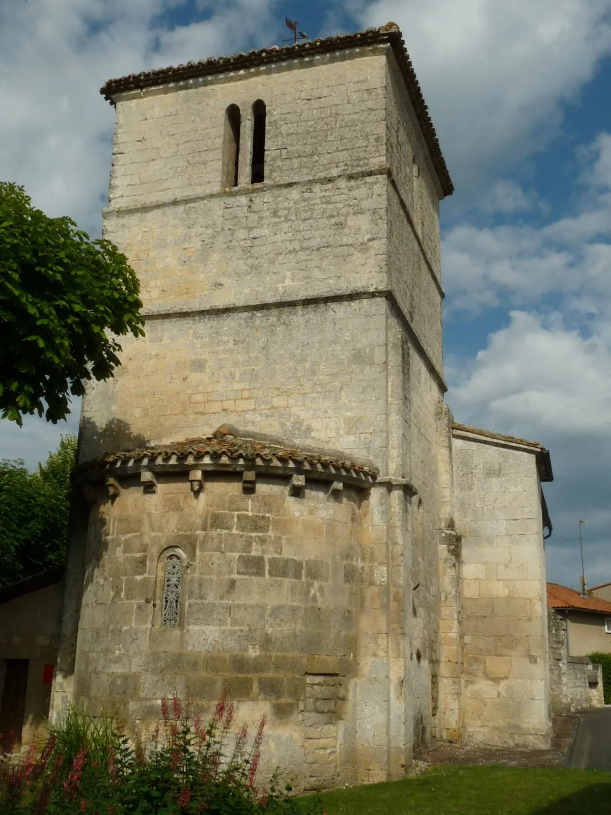
Explore the stunning Landes region on this 107-kilometer road route. With a difficulty level of 4 and an elevation gain of 334 meters, this route is recommended for experienced cyclists. Highlights include Lesperon, a small village known for its tranquil atmosphere and historic buildings. Discover the picturesque village of Linxe, located near a beautiful lake. Don't miss the opportunity to visit Lit-et-Mixe, a charming village surrounded by forests, or Mézos, known for its traditional half-timbered houses. Enjoy the beauty of nature in Escource, where you can take in the scenic landscapes and relax before heading back to Labouheyre.
Nature's Retreat
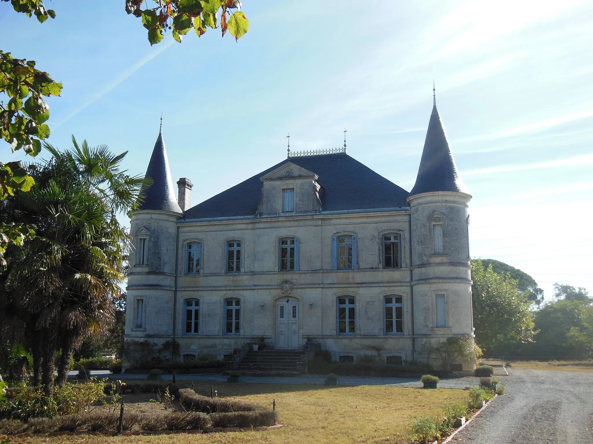
Escape into the natural paradise of the Sabres region on this scenic route
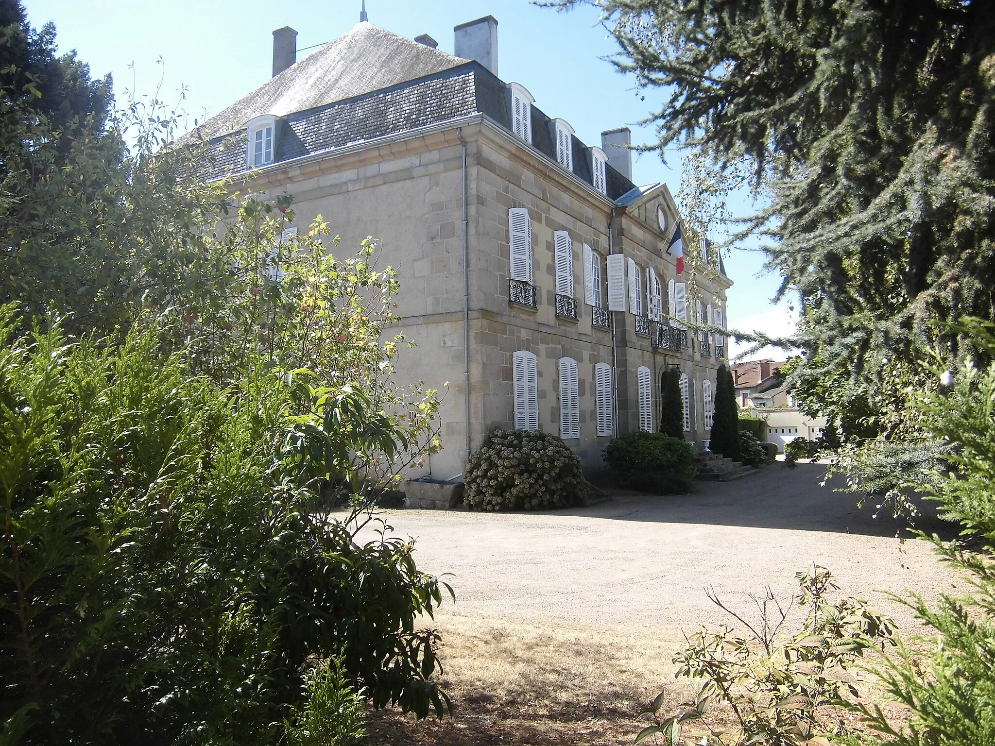
Indulge in the natural beauty of the Sabres region on this 116-kilometer road route. With a moderate difficulty level and an elevation gain of 182 meters, it's suitable for cyclists of all skill levels. Highlights include Liposthey, a charming village perfect for a coffee break. Visit the magnificent Château de Rochefort-Lavie, which offers stunning views of the surrounding countryside. Explore Chalet François Mauriac, a historical landmark that was once the personal retreat of a famous French writer. Luxey is another picturesque village worth exploring, known for its peaceful atmosphere and traditional buildings. Lastly, Sabres awaits with beautiful natural landscapes and the opportunity to immerse yourself in the rural charm of the region.

A scenic road route through Labouheyre and Garrosse
This road route takes cyclists through the charming towns of Labouheyre and Garrosse, offering scenic views along the way. With a total distance of 91 kilometers and an ascent of 192 meters, it is suitable for well-trained amateur cyclists. The route is not extremely challenging but offers a pleasant ride through the Aquitaine region of France.
Cycling routes nearby:


Nearby regions: