An adventurous cyclist's dream with challenging climbs.
Cycling routes from Beauzac
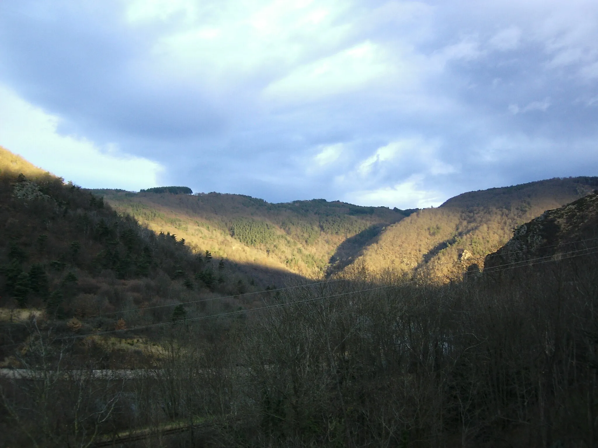
Beauzac, situated in the Auvergne region of France, is a cyclist-friendly locality boasting scenic routes and challenging climbs. Road and gravel cyclists will find themselves in awe of the stunning natural beauty of the surroundings, as they pedal through forests and mountains. One well-known climb nearby is the Col de la Bénisson Dieu, a popular challenge among cyclists. With its diverse terrain and cyclist-friendly amenities, Beauzac is a top choice for those seeking a thrilling cycling adventure.
Gravel Adventure to Malvalette
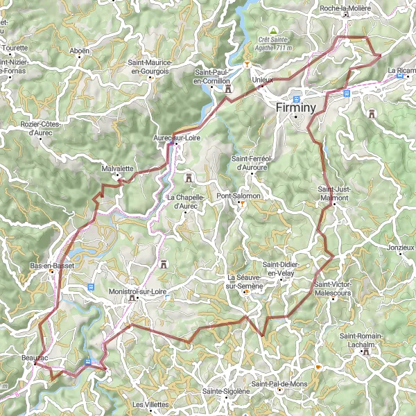
Explore the scenic route to Malvalette on gravel roads
Embark on a gravel cycling adventure from Beauzac to Malvalette, covering a distance of 78 km and ascending 1639 meters. This challenging route takes you through beautiful countryside, picturesque villages, and stunning natural landscapes. The picturesque highlight towns of Unieux, Le Chambon-Feugerolles, Saint-Just-Malmont, and Pont de Confolent offer fantastic resting spots and opportunities to explore the local history and culture.
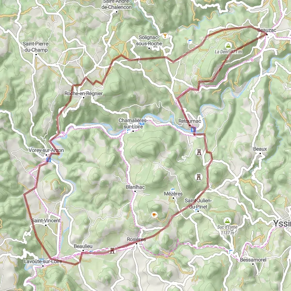
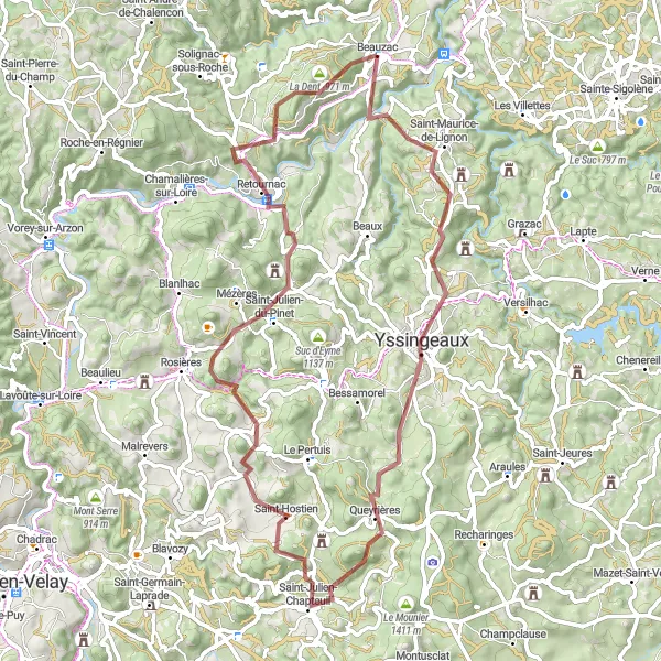
Embrace the gravel roads leading to Retournac
Enjoy a 64 km gravel cycling journey from Beauzac to Retournac, with a total ascent of 1544 meters. This challenging route takes you through diverse terrain, including rolling hills, dense forests, and picturesque countryside. Along the way, you'll have the opportunity to discover hidden gems such as the Plateau de la Madeleine, offering breathtaking views, and the charming town of Rosières, known for its traditional architecture and vibrant cultural scene.

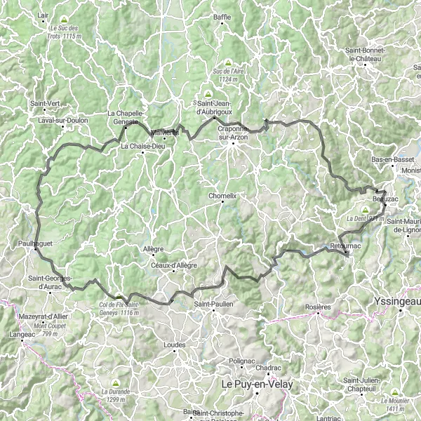
Conquer the challenging climbs and stunning scenery of the Auvergne region
Embark on a challenging road cycling adventure through the Auvergne region, covering a distance of 125 km with an ascent of 2141 meters. This route is perfect for experienced cyclists seeking a mountainous challenge and breathtaking views. From Saint-Maurice-de-Roche to Marsac-en-Livradois, you'll tackle steep climbs, winding roads, and panoramic viewpoints. The Col de Chougoirand, with its challenging ascent and rewarding vistas, is a standout highlight of this route. As you make your way through charming villages and scenic landscapes, you'll truly appreciate the natural beauty of this region.
Embark on a scenic road cycling adventure to Chavaniac-Lafayette
Experience the beauty of Auvergne on this 156 km road cycling adventure from Beauzac to Chavaniac-Lafayette. With a total ascent of 2944 meters, this challenging route takes you through stunning landscapes, charming villages, and historical sites. Highlights include the picturesque Plateau de la Madeleine, the enchanting village of Chamalières-sur-Loire, and the majestic Chavaniac-Lafayette castle. Ready your legs for the exhilarating ascent to Mont Barret and enjoy the serene beauty of Vernassal. Immerse yourself in the rich history of Paulhaguet and Cistrières, two historically significant towns along the route.
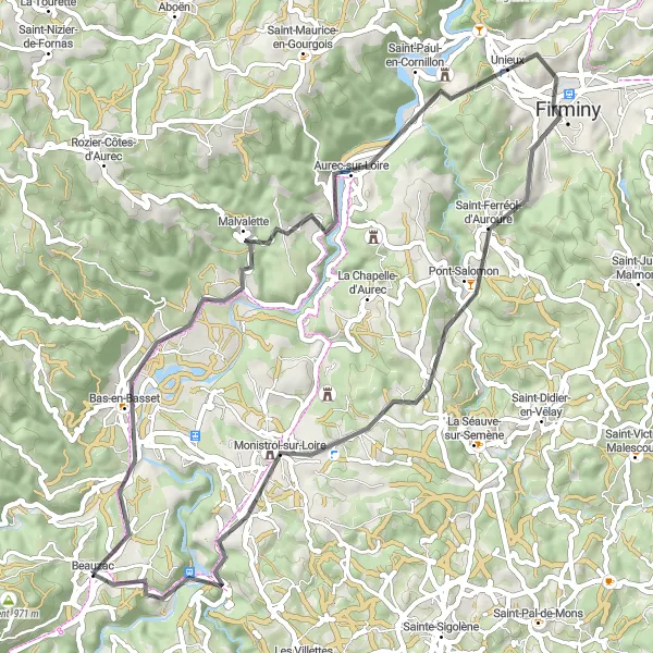
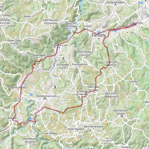
Discover the picturesque towns and scenic landscapes of the Loire region
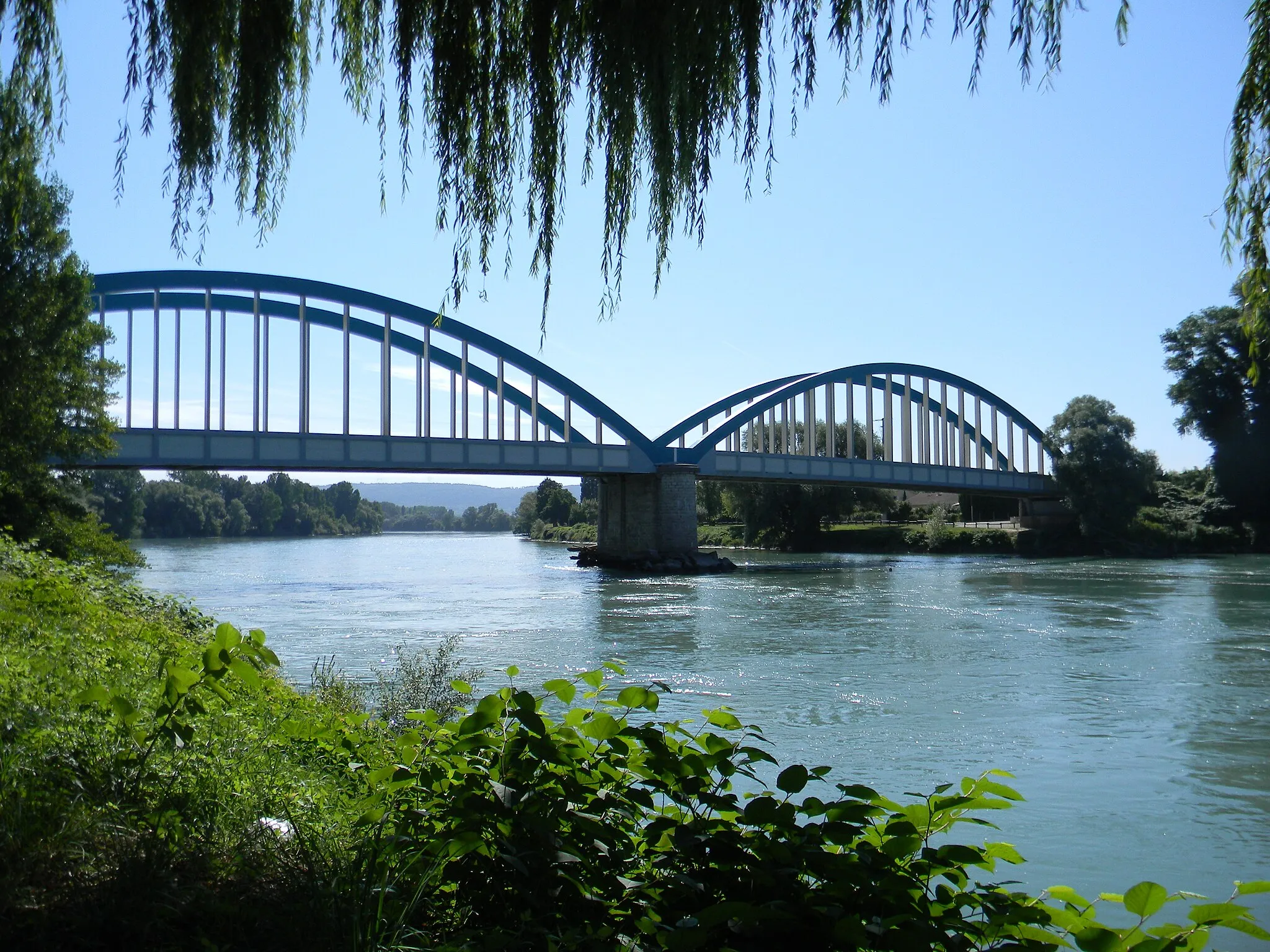
Enjoy a scenic road cycling loop through the enchanting Loire region, covering a distance of 57 km with an ascent of 1230 meters. Starting from Beauzac, you'll pass through charming towns like Malvalette and Aurec-sur-Loire and discover the beauty of the region's landscapes. Pont-Salomon, with its impressive suspension bridge spanning the Loire River, is a highlight worth exploring. As you pedal through Monistrol-sur-Loire and return to Beauzac, you'll be treated to stunning river views and peaceful countryside surroundings. This route offers a mix of challenging climbs and enjoyable descents, providing a rewarding and memorable cycling experience.
The Loire Valley Road Adventure
Embark on a scenic road cycling adventure through the Loire Valley
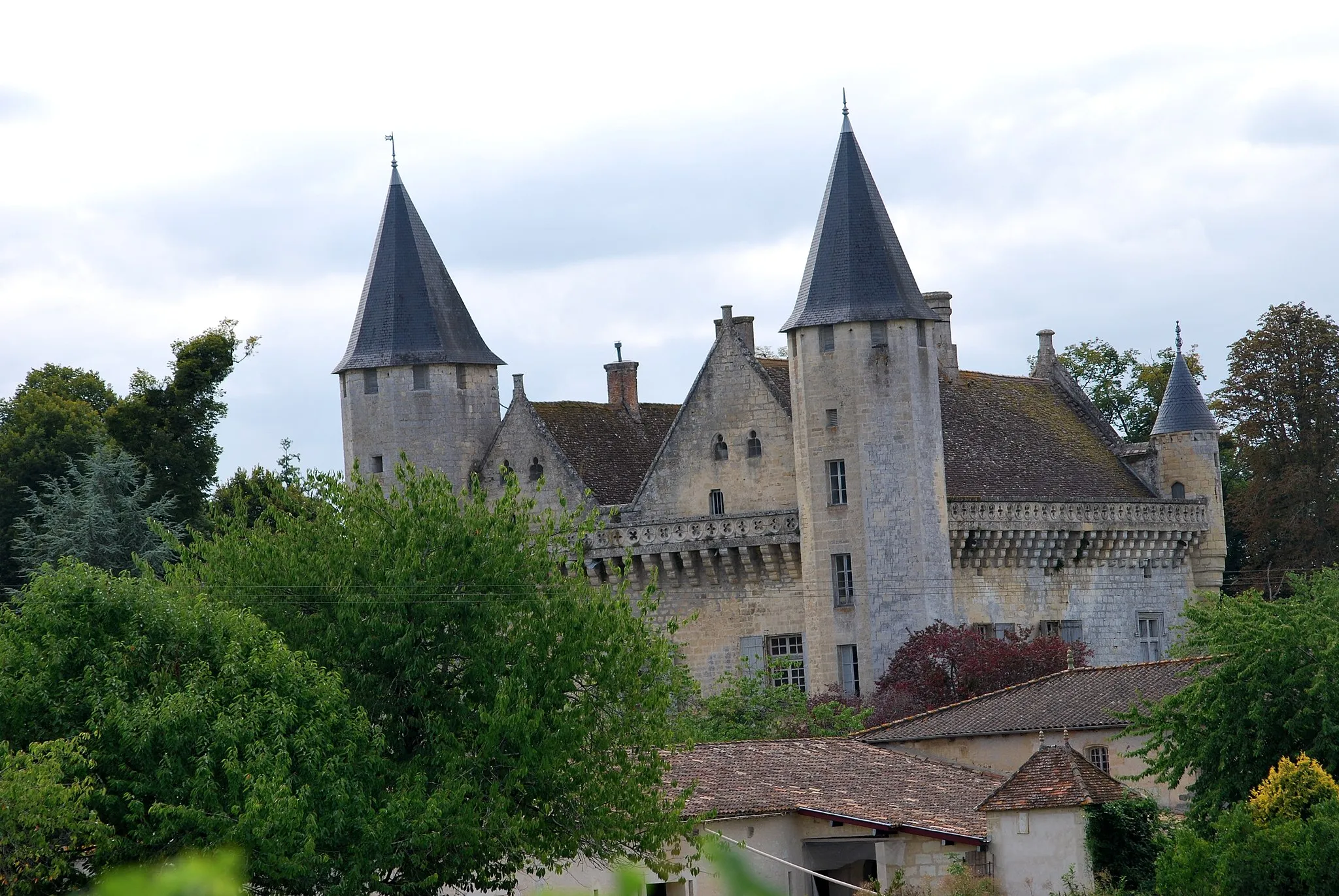
Experience the beauty of the Loire Valley on this road cycling route, covering a distance of 90 km with an ascent of 1606 meters. Starting from Beauzac, you'll pass through charming towns like Monistrol-sur-Loire and La Gardas and encounter stunning landscapes along the way. The highlight of this route is the Vestiges du Château de Carry, offering panoramic views and a glimpse into the region's history. From Le Mas-de-Tence to Saint-Maurice-de-Lignon, you'll be surrounded by rolling hills, vineyards, and picturesque vistas. This route provides a mix of challenging climbs and gentle descents, making it suitable for intermediate to advanced road cyclists.
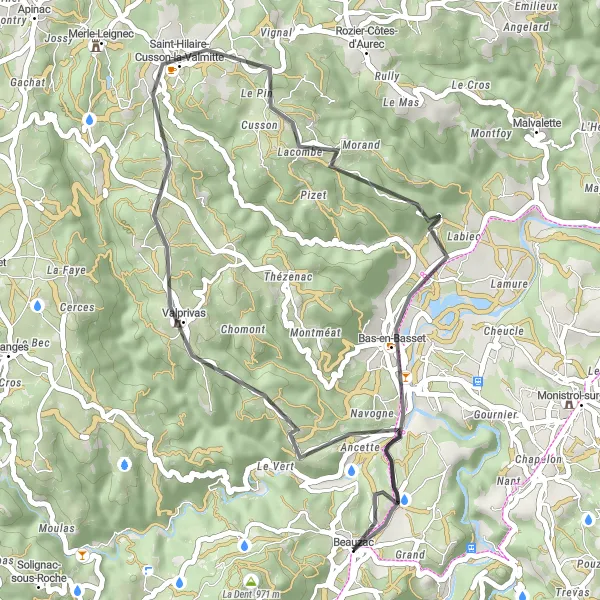
Enjoy a scenic road cycling ride to Bas-en-Basset
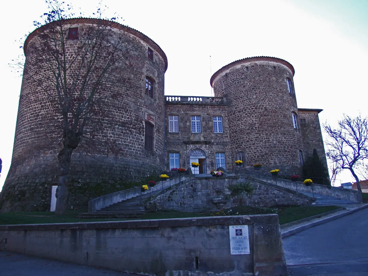
Embark on a beautiful 41 km road cycling ride from Beauzac to Bas-en-Basset. With a total ascent of 747 meters, this route offers a moderate challenge for cyclists of all levels. Highlights include the charming village of Valprivas, the picturesque town of Saint-Hilaire-Cusson-la-Valmitte, and Bas-en-Basset, known for its historic castle and scenic views.
The Gravier du Velay Gravel Ride
Experience the gravel roads and stunning landscapes of Velay region
This gravel ride in the Velay region takes you through beautiful landscapes and quiet rural roads. With a total distance of 78 km and an ascent of 1488 meters, this challenging route is perfect for gravel enthusiasts looking for a scenic and adventurous ride. From the picturesque village of Bas-en-Basset to the historic town of Beauzac, you'll encounter charming villages, rolling hills, and picturesque viewpoints. The terrain varies from gravel paths through forests to quiet country lanes, offering a diverse and enjoyable cycling experience. Explore the highlights such as Le Chambon-Feugerolles with its stunning views and Saint-Didier-en-Velay showcasing its rich history and culture.

Spectacular cycling adventure through the beautiful Loire Valley
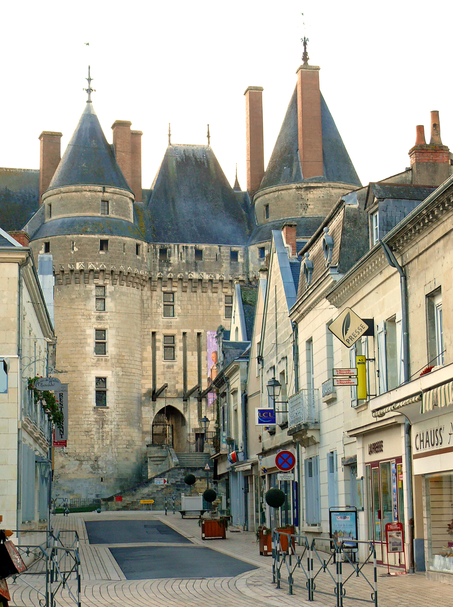
Embark on a mesmerizing cycling journey through the picturesque Loire Valley. This route will take you on a 113 km round-trip from Beauzac, allowing you to admire the stunning landscapes and explore charming towns and villages along the way. With a total ascent of 2102 meters, this challenging route is perfect for well-trained amateurs seeking an exhilarating adventure. The epicness of this route is marked by its stunning views and historical landmarks. Get ready to be captivated by the majestic castles, vineyards, and quaint villages that make the Loire Valley a UNESCO World Heritage site.
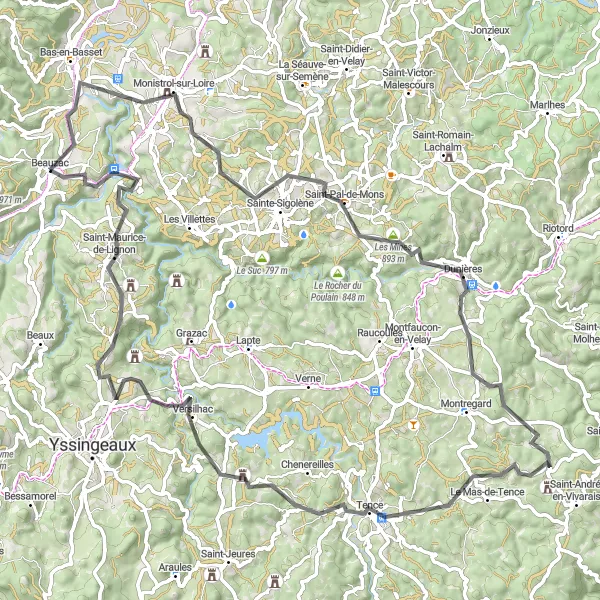
The Yssingeaux Adventure
Explore the natural wonders and rich history of Yssingeaux and its surroundings
Embark on a gravel adventure through the scenic landscapes surrounding Yssingeaux, covering a distance of 73 km with an ascent of 1891 meters. This route takes you through picturesque villages, dense forests, and stunning viewpoints. The Table d'orientation, offering panoramic views of the surrounding valleys and mountains, is a standout highlight of this route. From Saint-Roch to La Dent, you'll encounter challenging climbs, rocky paths, and serene natural settings. Experience the rich history and culture of Yssingeaux and discover the hidden gems of this beautiful region.
Cycling routes nearby:


Nearby regions: