Coastal and countryside charm with legendary Mont-Saint-Michel.
Cycling routes from Cerences
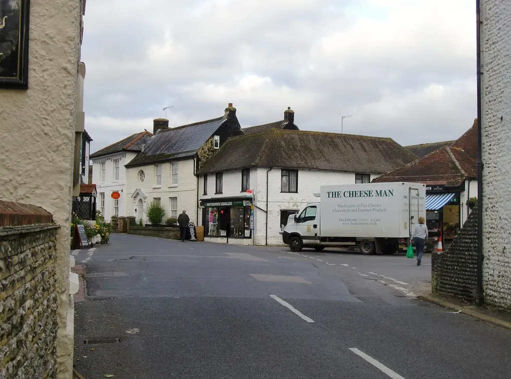
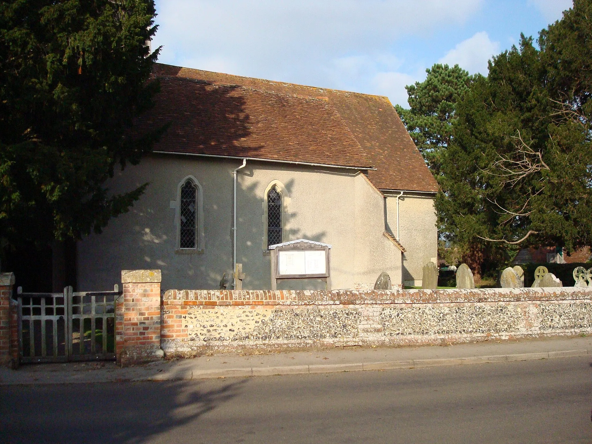
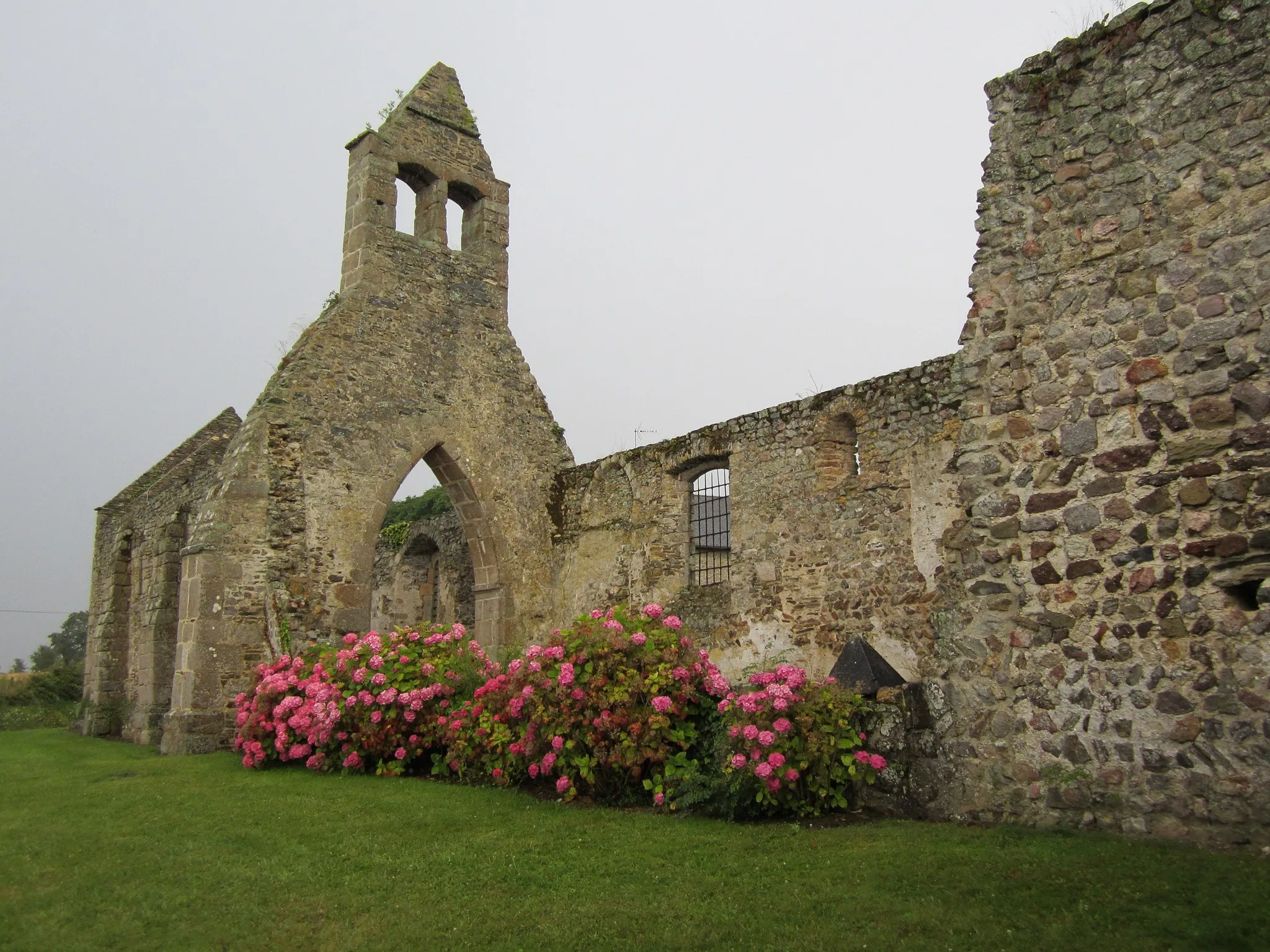
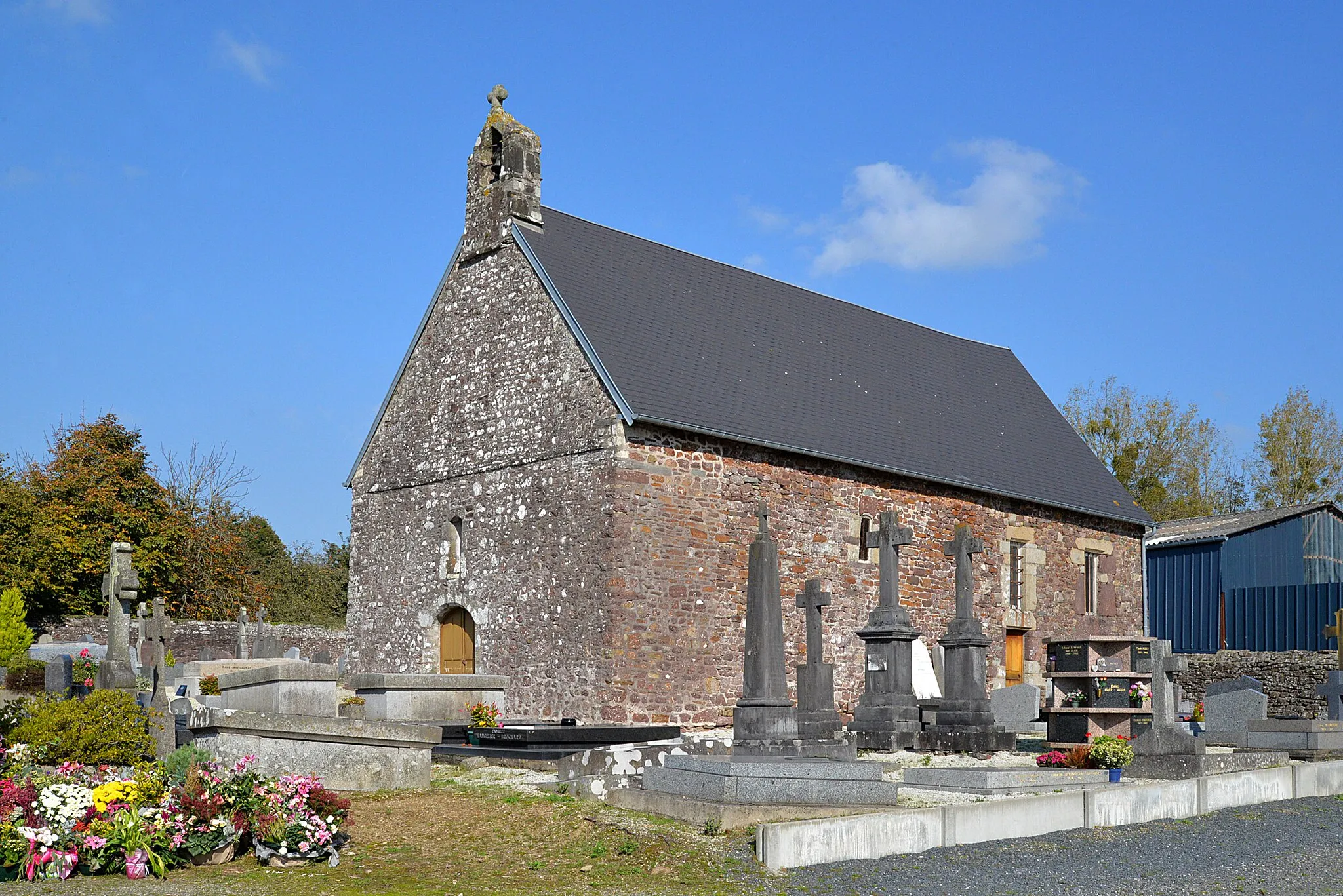
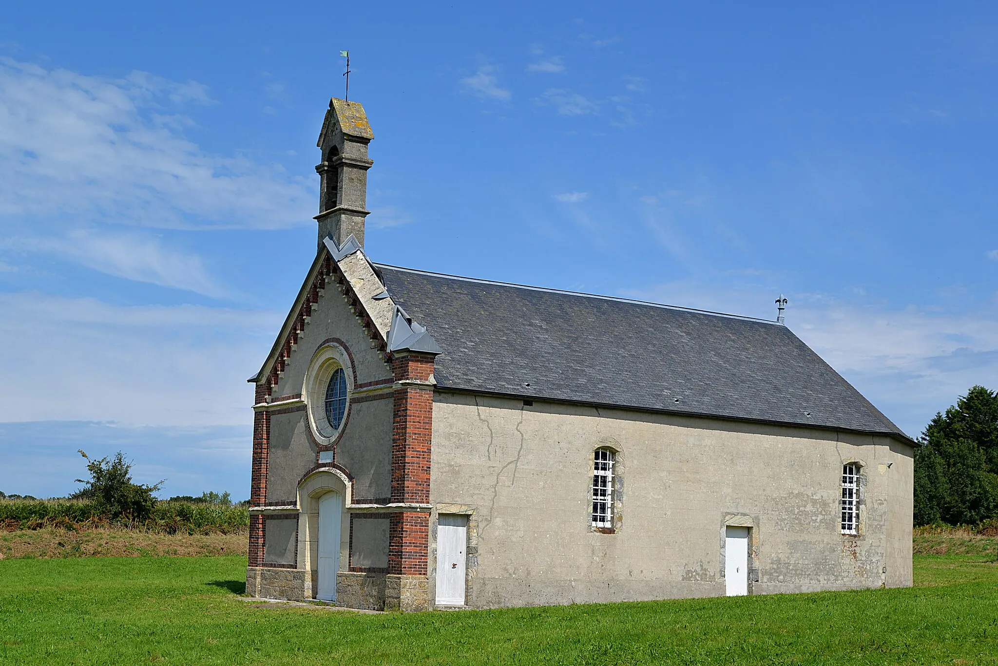
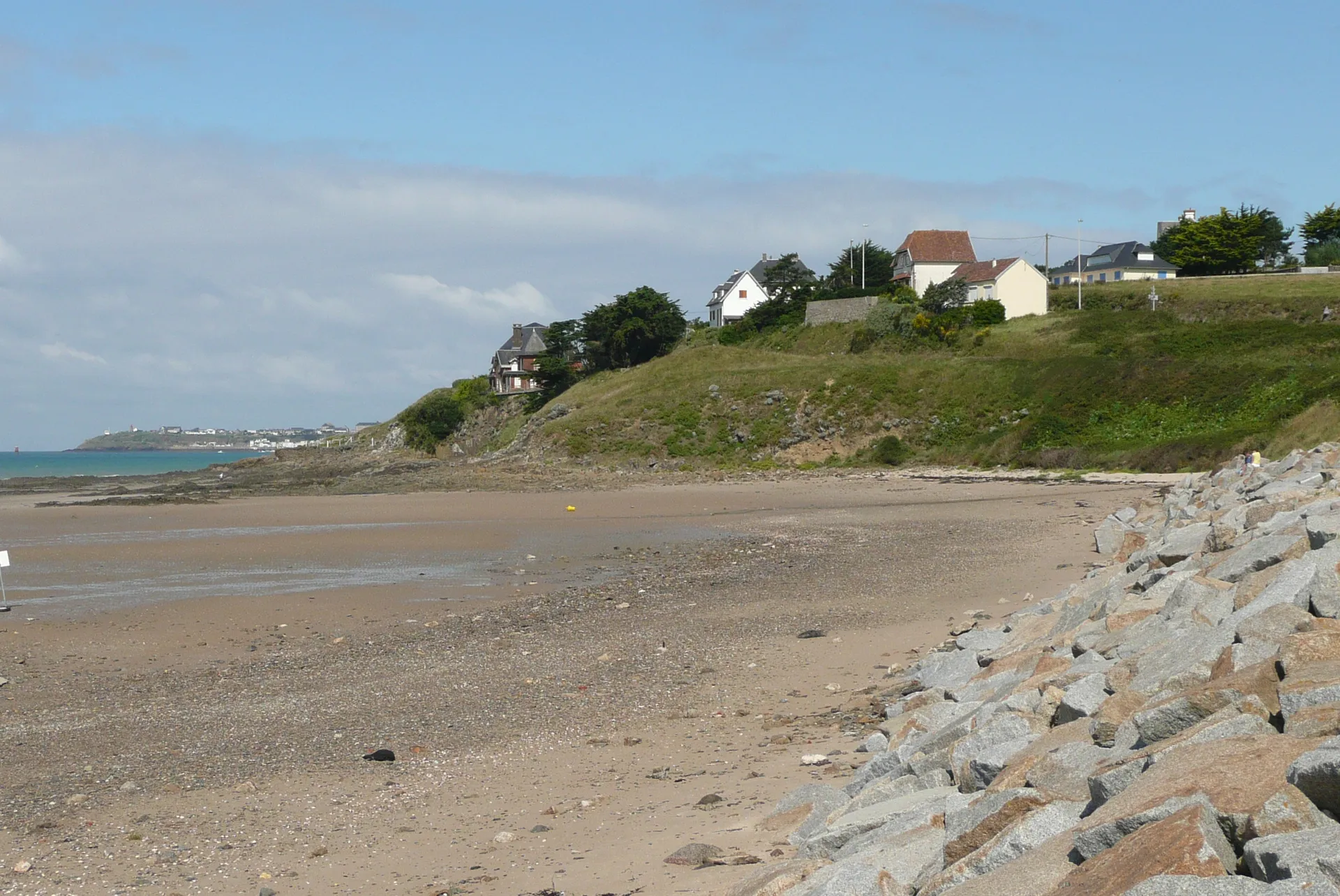
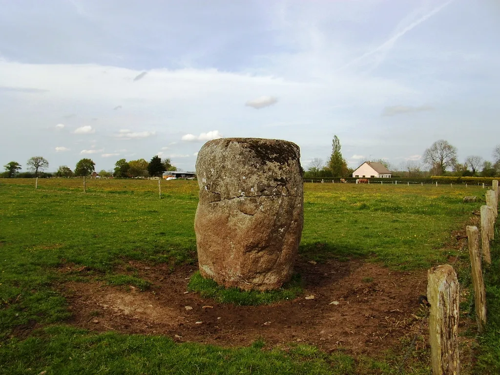
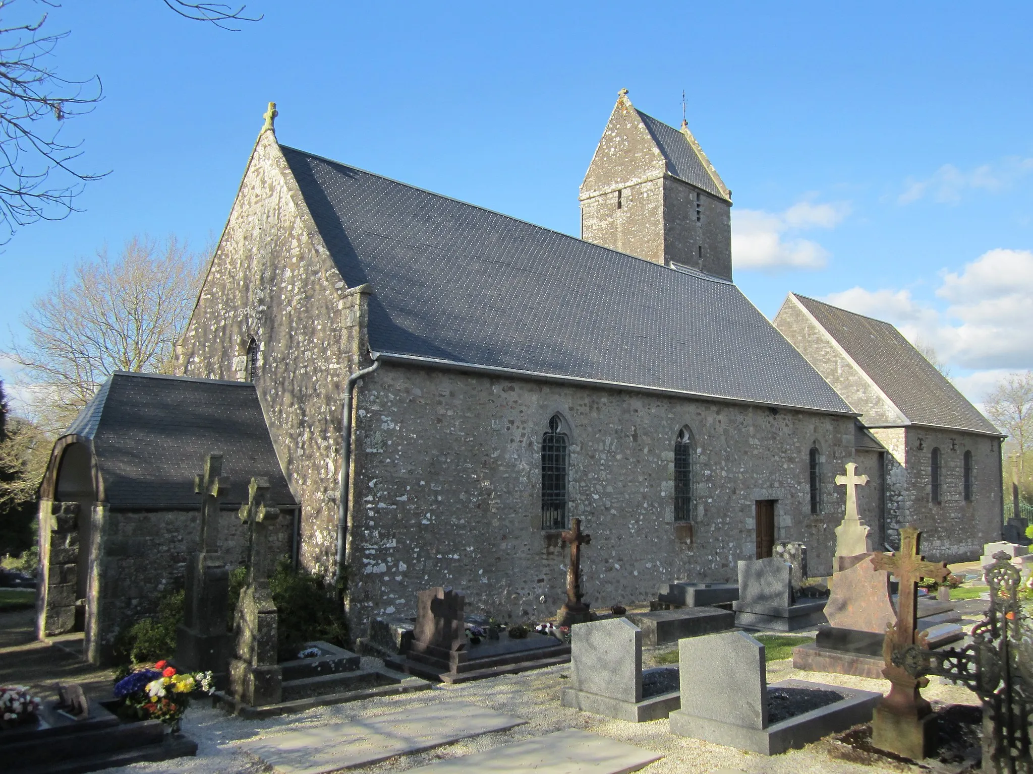
Cérences is a charming locality located in Basse-Normandie, France. From a cyclist's perspective, Cérences offers a mix of pleasant countryside landscapes and scenic coastal routes along the English Channel. Cyclists can explore flat stretches of road with sea views and enjoy the tranquil ambiance of the region. A notable cycling attraction nearby is the famous Mont-Saint-Michel, providing a challenging climb and breathtaking vistas. With its combination of beautiful surroundings and coastal routes, Cérences is a great destination for road and gravel cycling enthusiasts.
A challenging road route with Le Mesnil-Aubert as a highlight.
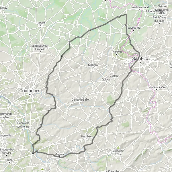
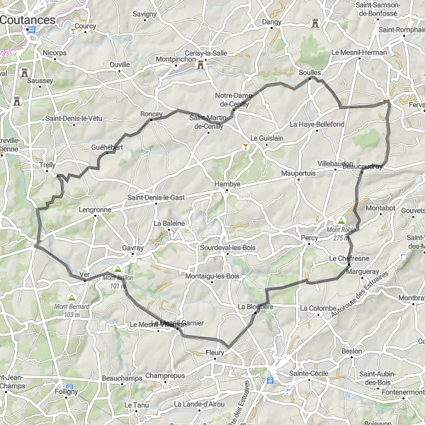
The Mesnil-Aubert Adventure is a challenging road route starting near Cérences. Covering a distance of 110 kilometers with an elevation gain of 1155 meters, this route is suitable for experienced cyclists seeking an epic challenge. The difficulty level is rated as high due to the steep hills and long climbs. Cyclists will have the opportunity to explore historical sites and beautiful landscapes, including Cambernon and Saint-Georges-Montcocq, before reaching the highlight of Le Mesnil-Aubert. Overall, this route offers an epic adventure for seasoned cyclists.
The Coutances Circuit
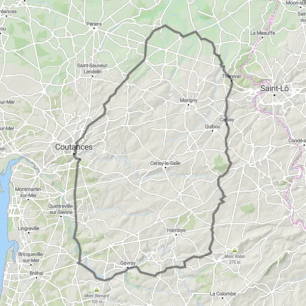
An exhilarating road route featuring the historic town of Coutances.
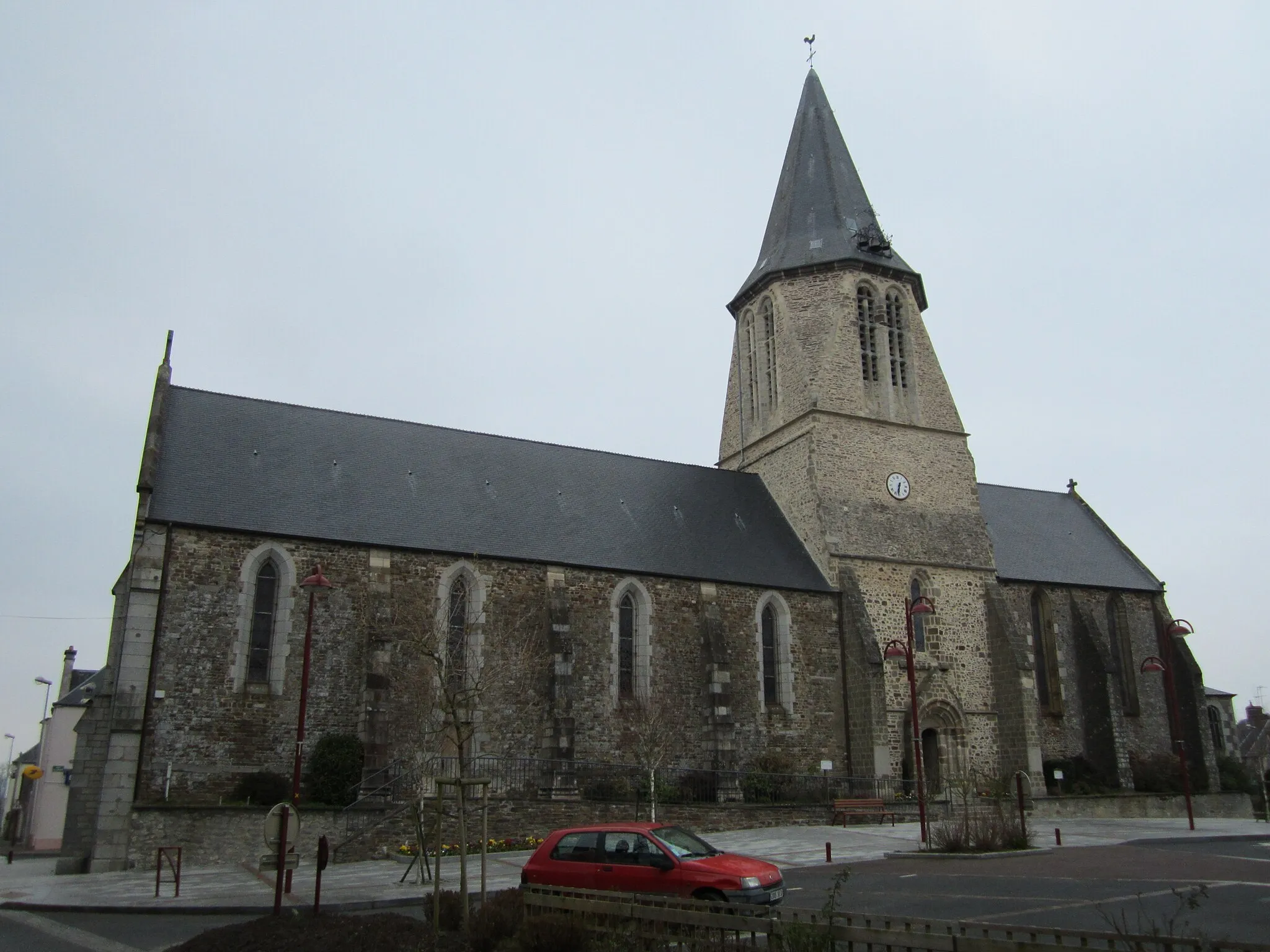
The Coutances Circuit is an exciting road route starting near Cérences. The route covers a distance of 99 kilometers with a total ascent of 1012 meters. On this route, cyclists can enjoy the scenic countryside and visit the picturesque town of Coutances. The difficulty of this route is rated as moderate, suitable for well-trained amateur cyclists. With numerous highlights along the way, including Marchésieux and Thèreval, this route offers a great cycling experience for enthusiasts.
Lengronne and Beauchamps Loop
Discover the tranquil beauty of Lengronne and experience the thrill of cycling up Mont Bernard
Immerse yourself in the tranquil countryside landscapes of Basse-Normandie on this 64 km loop starting near Cérences. Highlights along the route include Lengronne, with its peaceful nature, and the thrilling ascent of Mont Bernard. With a moderate difficulty level, this loop offers a blend of serene tranquility and exhilarating challenges for well-trained amateur cyclists.
The Gavray Tour
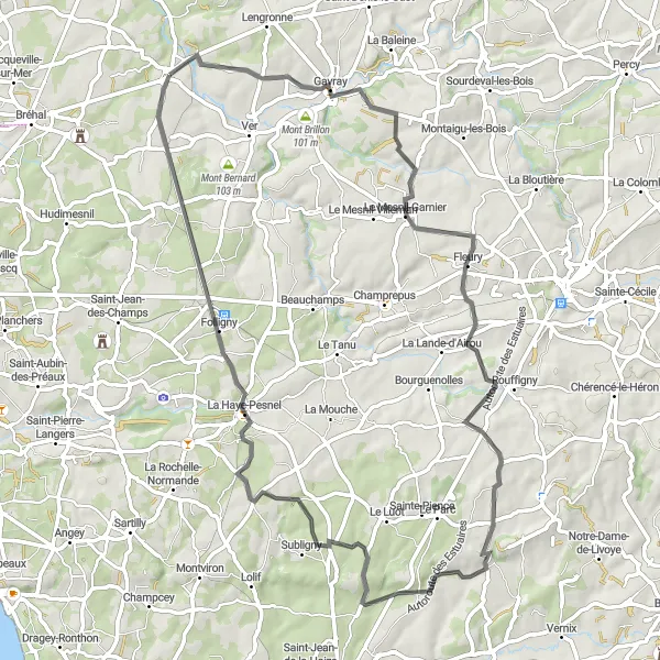
A scenic road route with Gavray as the highlight.
The Gavray Tour is a picturesque road route starting near Cérences. Covering a distance of 67 kilometers with an ascent of 736 meters, this route offers beautiful countryside views and a visit to the charming town of Gavray. Suitable for well-trained amateur cyclists, the difficulty level of this route is moderate. Starting from Cérences, cyclists can explore the stunning landscapes and enjoy the peacefulness of the route. The highlights of this route include Fleury and Le Loreur, adding to the overall experience.

Cycle through Gavray and ascend Mont Bernard for stunning views
Embark on a cycling adventure through the picturesque countryside, starting near Cérences. This 75 km circuit includes highlights such as Gavray, a charming town with historic architecture, and Mont Bernard, offering stunning panoramic views from its summit. With a moderate difficulty level, this loop is perfect for avid cyclists looking to explore Basse-Normandie's scenic landscapes and discover hidden gems along the way.
Saint-Denis-le-Vêtu Loop
Cycle through picturesque countryside villages with a highlight at Saint-Denis-le-Vêtu
This scenic route takes you through charming countryside villages, offering a true taste of Basse-Normandie. Starting near Cérences, you'll pass through stunning landscapes and experience the rich cultural heritage of the region. The route includes a highlight at Saint-Denis-le-Vêtu, where you can explore its historical sites and enjoy the peaceful atmosphere. With a moderate difficulty level, this 78 km loop is suitable for well-trained amateurs.
Experience the beauty of Guéhébert and conquer the climb up Mont Brillon
This 75 km circuit starting near Cérences takes you through scenic countryside landscapes, offering a perfect blend of natural beauty and cultural experiences. Highlights along the route include Guéhébert, a charming village with traditional Norman architecture, and Mont Brillon, a challenging climb with rewarding views at the top. With a moderate difficulty level, this circuit is suitable for well-trained amateur cyclists seeking a memorable ride in Basse-Normandie.
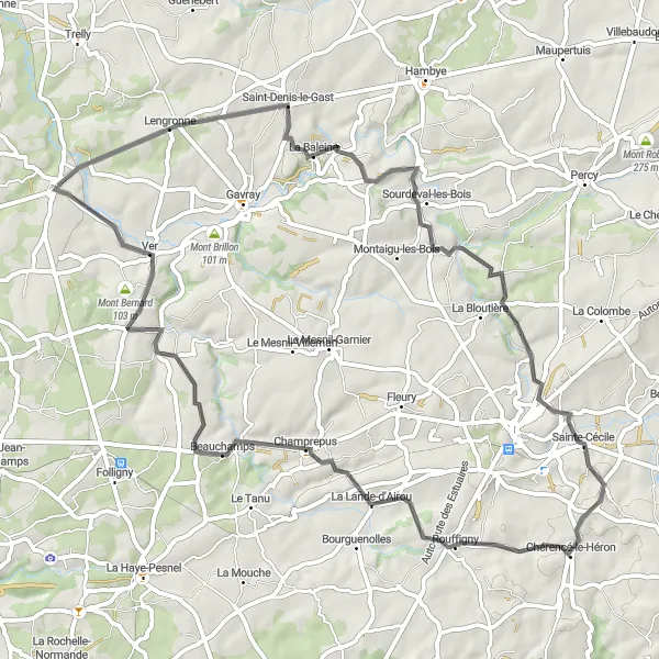
The Lengronne Loop
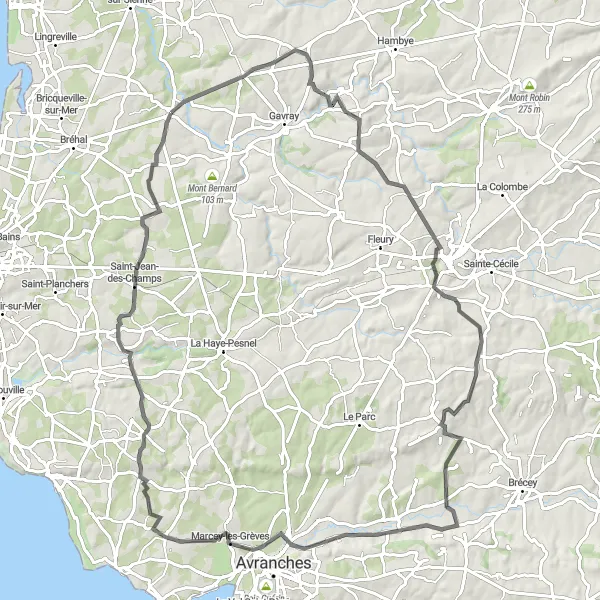
A challenging road route with Lengronne as a highlight.
The Lengronne Loop is a challenging road route that starts near Cérences. Spanning a distance of 92 kilometers and an elevation gain of 965 meters, this route appeals to experienced cyclists looking for a demanding ride. The difficulty level is rated as high due to the steep climbs and hilly terrain. Along the way, cyclists will pass through scenic landscapes and enjoy the beauty of the route. The highlights include La Baleine, Vernix, and Marcey-les-Grèves, offering unique and picturesque locations.
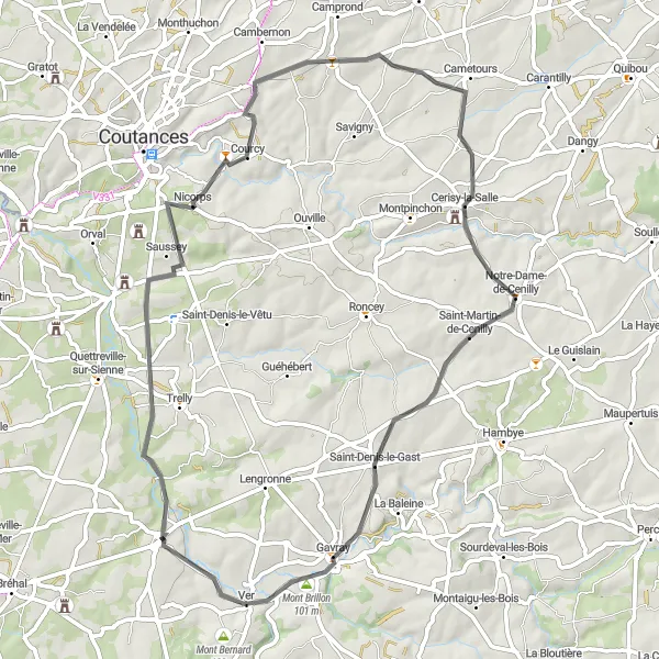
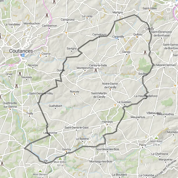
A scenic road route with Saint-Louet as a highlight.
The Saint-Louet Path is a scenic road route beginning near Cérences. Spanning a distance of 59 kilometers and featuring an ascent of 595 meters, this route offers a moderate challenge suitable for well-trained amateur cyclists. Cyclists will enjoy the picturesque countryside views and have the opportunity to visit beautiful spots like Nicorps and Cerisy-la-Salle. The overarching highlight of this route is Mont Brillon, which guarantees breathtaking views of the surrounding area.

Cycle through Ver and explore the idyllic village of Saint-Aubin-des-Préaux
Embark on a 61 km circuit starting near Cérences, offering a blend of picturesque countryside landscapes and cultural experiences. Highlights along the route include Ver, a small village with charming streets and historic buildings, and Saint-Aubin-des-Préaux, with its idyllic scenery. With a moderate difficulty level, this circuit is perfect for cyclists looking for a memorable ride in Basse-Normandie.
Cycling routes nearby:


Nearby regions: