Historic cycling routes in Basse-Normandie
Cycling routes from Picauville
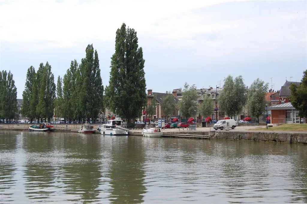
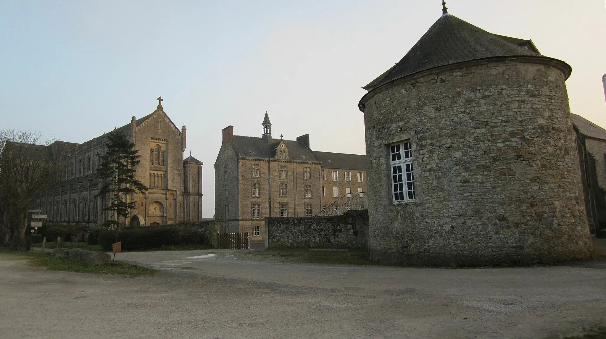
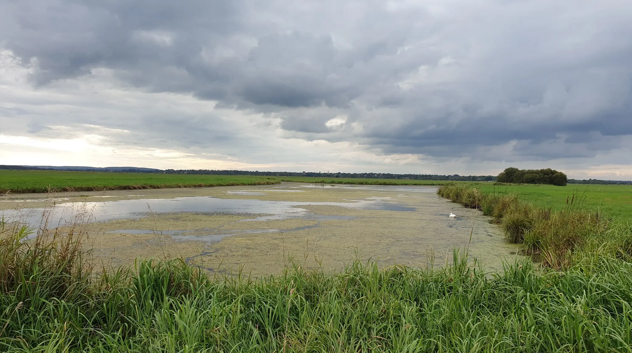
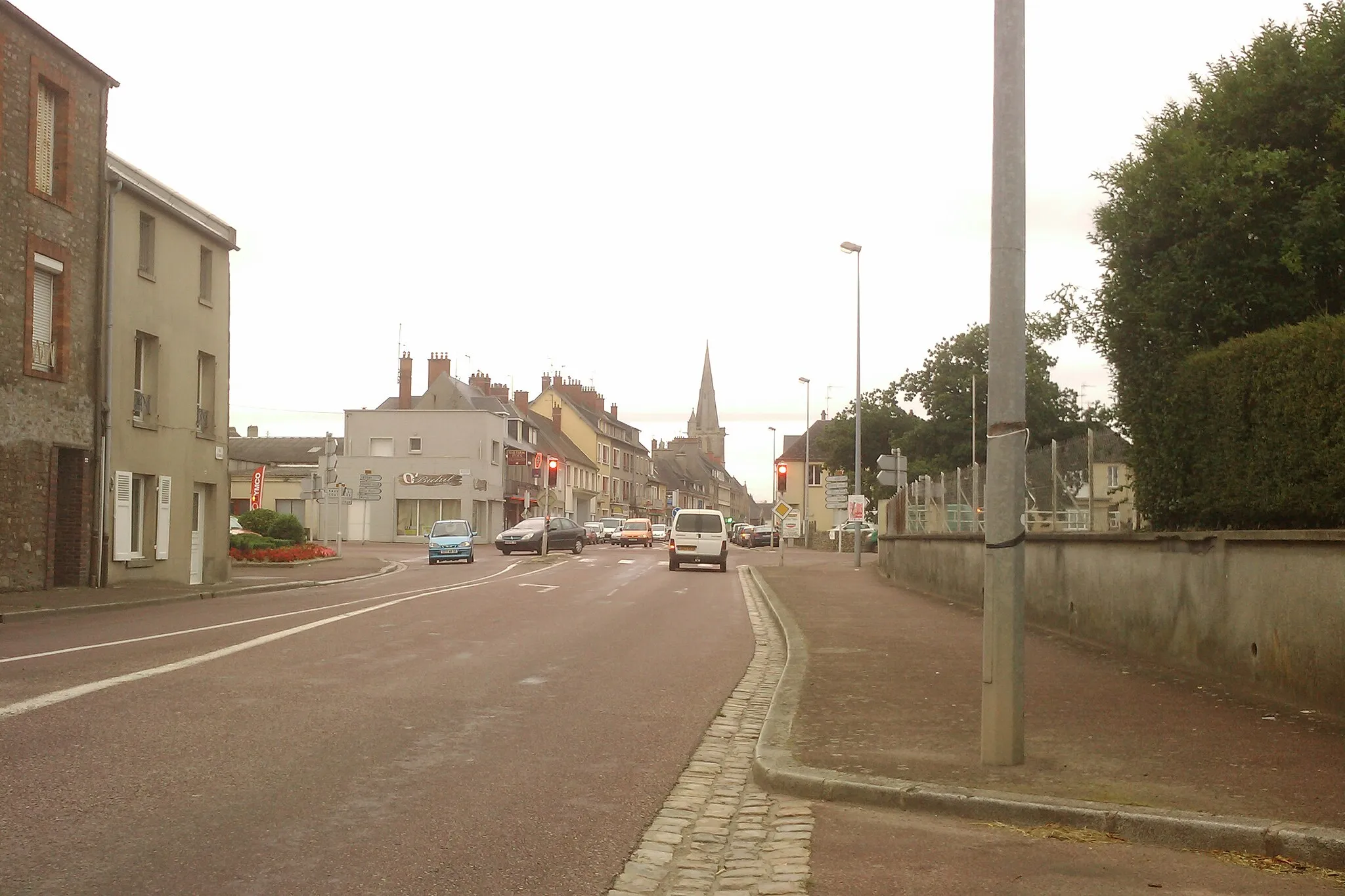
Picauville is a historic town in the Basse-Normandie region of France. As a cyclist, you can enjoy exploring the surrounding countryside and picturesque villages. The area offers some rolling terrain and quiet roads, perfect for road and gravel cycling. One notable cycling spot nearby is Utah Beach, which played a significant role in the D-Day landings during World War II. With its rich history and pleasant cycling routes, Picauville is a charming destination for cyclists.

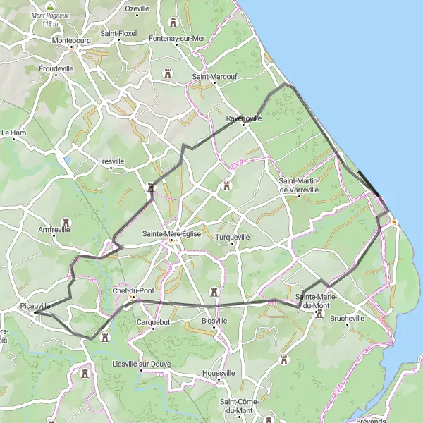
Experience the historic route from Picauville to Chef-du-Pont
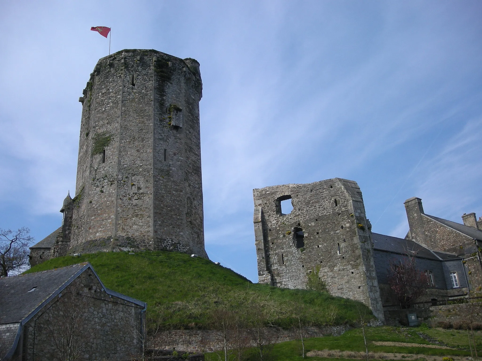
Explore the historic route from Picauville to Chef-du-Pont on this road cycling adventure. With a total of 304 meters ascent and a distance of 69 kilometers, this route offers a moderate challenge suitable for intermediate cyclists. One of the key highlights of this route is Chef-du-Pont, a historic town known for its role in the Battle of Normandy. Experience the rich history and picturesque countryside views along this scenic route.

Embark on a coastal road cycling journey through Basse-Normandie starting near Picauville
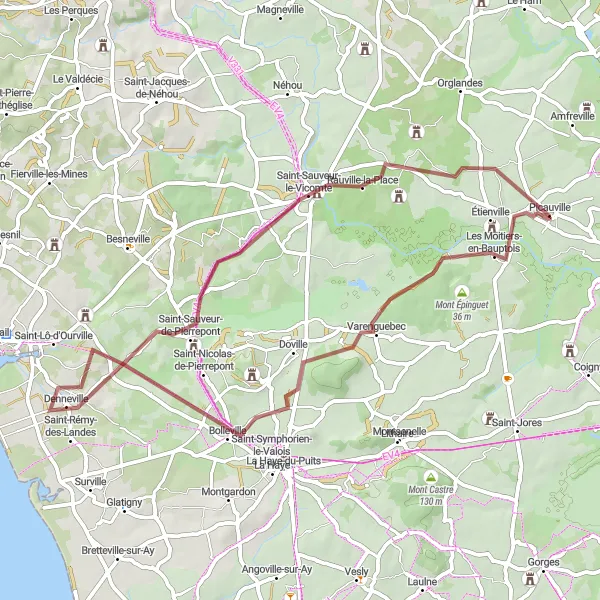
This road cycling route near Picauville takes you on a remarkable journey along the stunning Basse-Normandie coastline. With a total ascent of 492 meters and a distance of 76 kilometers, this challenging route offers breathtaking views and memorable experiences. Throughout the ride, you'll pass through picturesque towns and villages, such as Denneville and Saint-Georges-de-la-Rivière, where you can take in the beauty of the coastal scenery and enjoy the peaceful ambiance. Don't miss Les Perques, known for its charming beachfront and Vindefontaine, a hidden gem with its tranquil landscapes.

Explore the scenic Basse-Normandie region on this road cycling route starting near Picauville
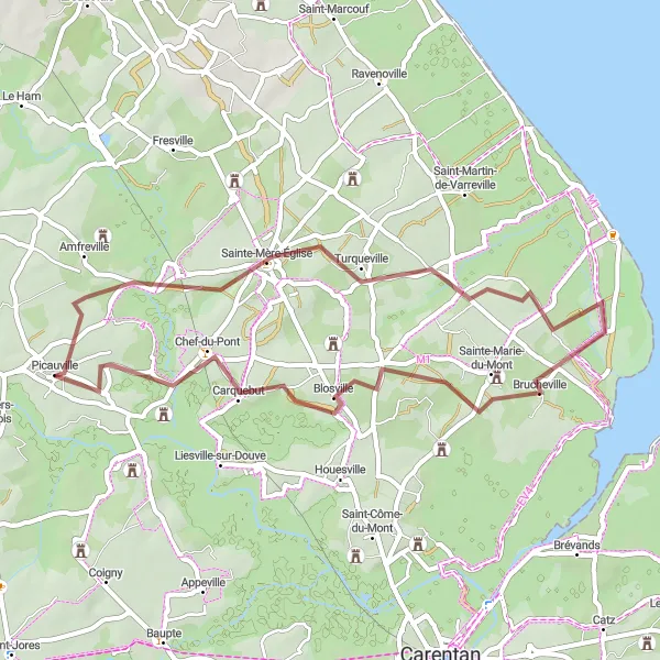
This road cycling route in Basse-Normandie offers a picturesque journey through the region's beautiful landscapes. With a total ascent of 143 meters and a distance of 55 kilometers, the route provides a moderate challenge for well-trained amateurs. As you ride, you'll pass through charming towns and villages, experiencing the local culture and architecture. Don't miss the highlights along the route, including Beuzeville-au-Plain with its historic buildings and Carquebut, known for its lush green countryside.
Gravel Adventure
Venture into the rugged landscapes of Basse-Normandie on this thrilling gravel cycling route
Satisfy your thirst for adventure and venture into the rugged landscapes of Basse-Normandie with this challenging gravel cycling route. Covering a total distance of 54 kilometers and an ascent of 229 meters, this route will test your skills and offer exhilarating off-road experiences. From the picturesque village of Doville to the tranquility of Denneville, you'll encounter diverse landscapes and discover hidden gems along the way.
The Turqueville Gravel Route
Ride through a scenic landscape and explore historical highlights
Experience the beauty of Basse-Normandie on this unique gravel route starting near Picauville. The route covers a distance of 44 km with a total ascent of 163 m. Traverse picturesque countryside and discover significant historical sites along the way. This route is suitable for both road and gravel bikes, making it versatile for different cycling preferences.
Coastal Loop

Experience the stunning coastal landscapes of Basse-Normandie on this road cycling route
Embark on a scenic road cycling adventure along the coast of Basse-Normandie. With a distance of 65 kilometers and an ascent of 371 meters, this route offers breathtaking views of the Atlantic Ocean and the picturesque countryside. From the charming village of Les Moitiers-en-Bauptois to the historic town of Hautteville-Bocage, you'll encounter captivating landscapes and memorable highlights along the way.
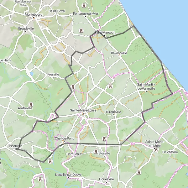
Discover significant historic sites in Basse-Normandie on this road cycling route starting near Picauville
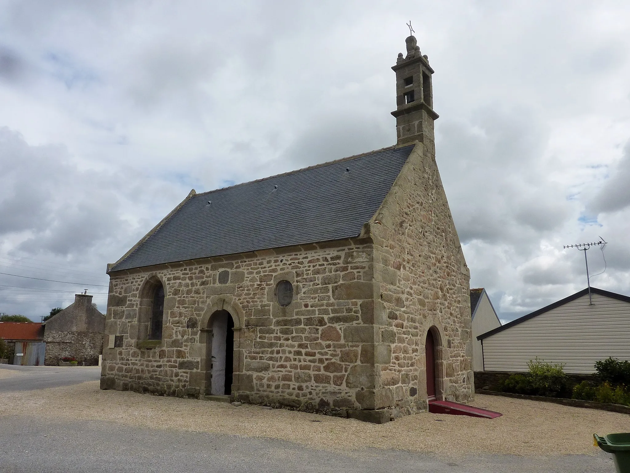
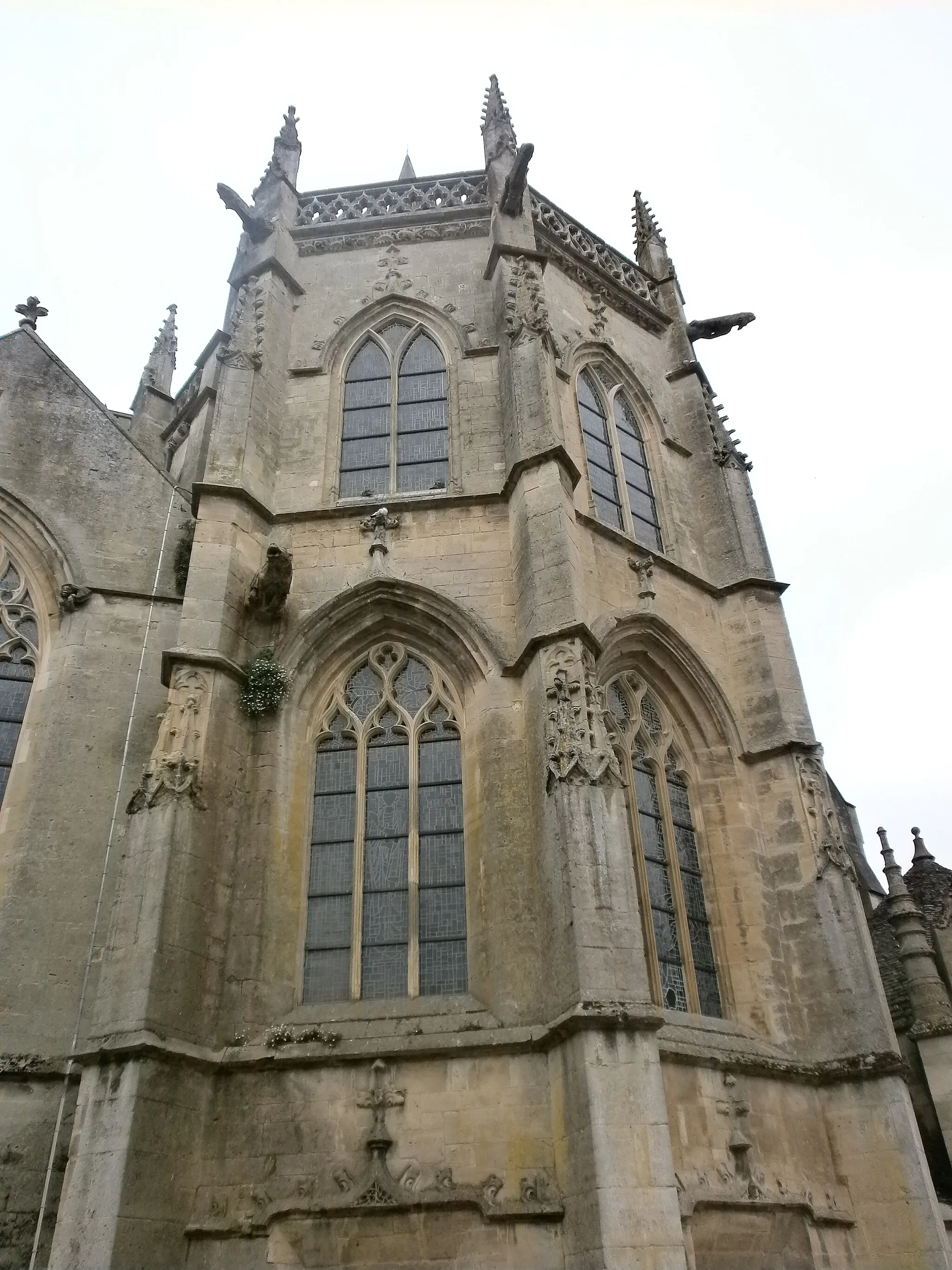
This road cycling route in Basse-Normandie takes you on a journey through various significant historic sites. With a total ascent of 109 meters and a distance of 49 kilometers, this route offers a moderate challenge suitable for all skill levels. Along the way, you'll have the opportunity to explore sites such as the Batterie d'Azeville, which played a crucial role during World War II. Don't miss the charming towns of Neuville-au-Plain, Audouville-la-Hubert, and Blosville, each offering its own unique attractions and cultural experiences.
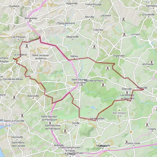
Experience a thrilling gravel adventure through beautiful landscapes from Picauville to Varenguebec
Embark on a gravel cycling adventure starting from Picauville and heading towards Varenguebec. This 60-kilometer route offers a mix of gravel roads and beautiful natural landscapes. The highlight of the route is Varenguebec, a charming village with traditional Normandy architecture. With a total ascent of 426 meters, this gravel route is suitable for experienced cyclists looking for an off-road adventure.

A scenic road cycling route with highlights like Étienville and Cité de la Mer
This road cycling route starting from Picauville takes you through beautiful scenic landscapes. The route features several highlights including Étienville, a charming village known for its historic buildings. Another highlight on the route is the Cité de la Mer, a popular tourist attraction that showcases the maritime history of the region. With a total ascent of 875 meters and a distance of 100 kilometers, this route offers a moderate challenge for experienced cyclists.
Discover the hidden gems of Picauville's surrounding villages on this scenic road cycling route
Embark on a pleasant road cycling journey through the villages surrounding Picauville. With a total distance of 48 kilometers and an ascent of 108 meters, this route offers a leisurely experience for cyclists of all levels. From the tranquil ambiance of Ravenoville to the historical landmarks of Boutteville, you'll uncover charming villages and immerse yourself in the rich local culture.
Cycling routes nearby:


Nearby regions: