Tranquil countryside cycling near Mont Saint-Michel.
Cycling routes from Saint-James
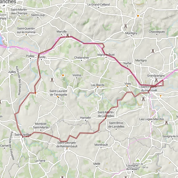
Saint-James is a small town located in Basse-Normandie, France. As a road and gravel cyclist, Saint-James offers beautiful scenic routes with low traffic, making it a delightful cycling destination. The town is surrounded by picturesque countryside and charming villages, providing a calm and peaceful riding experience. Additionally, Saint-James is close to the iconic Mont Saint-Michel, a UNESCO World Heritage Site known for its stunning Gothic abbey, which can be a great side trip for cyclists. With its tranquil roads and proximity to Mont Saint Michel, Saint-James scores a solid 4 on the cyclist's perspective ranking.
The Gravel Adventure
An off-road cycling experience through the gravel paths of Basse-Normandie
The Gravel Adventure takes you on an off-road journey through the scenic gravel paths of Basse-Normandie. With a moderate difficulty level and diverse terrain, this route is perfect for cyclists looking for an adventurous ride off the beaten track. Along the way, you will explore charming rural villages and enjoy the tranquility of the countryside. This route offers a unique and challenging experience for gravel cycling enthusiasts.

A scenic journey through the hills of Basse-Normandie
The Hilltop Route is a picturesque cycling trail that takes you through the hilly landscapes of Basse-Normandie. With a moderate difficulty level, this route offers stunning views and a chance to explore charming towns and villages along the way. It is suitable for well-trained amateur cyclists who enjoy challenging ascents.
The Forest Adventure

A scenic journey through the forests of Basse-Normandie
The Forest Adventure route takes you on a thrilling ride through the lush forests of Basse-Normandie. With a moderate difficulty level and beautiful natural surroundings, this route offers a unique cycling experience. Along the way, you can enjoy the peacefulness of the forest and discover hidden gems in the nearby towns and villages. The route is perfect for nature lovers and those seeking a tranquil cycling adventure.
The Coastal Circuit

A thrilling ride along the coast of Basse-Normandie
The Coastal Circuit is a challenging cycling route that takes you along the scenic coastline of Basse-Normandie. With a difficulty level suitable for experienced cyclists, this route offers breathtaking views of the sea and cliffs. Along the way, you can explore quaint coastal towns and enjoy the fresh sea breeze. The route is perfect for cyclists looking for a thrilling and adventurous ride.
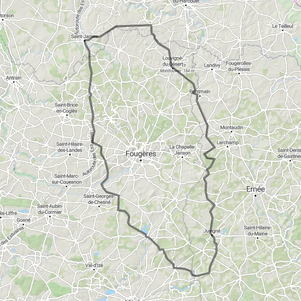
Saint-James to Landivy Circuit

An adventurous road cycling route through scenic countryside
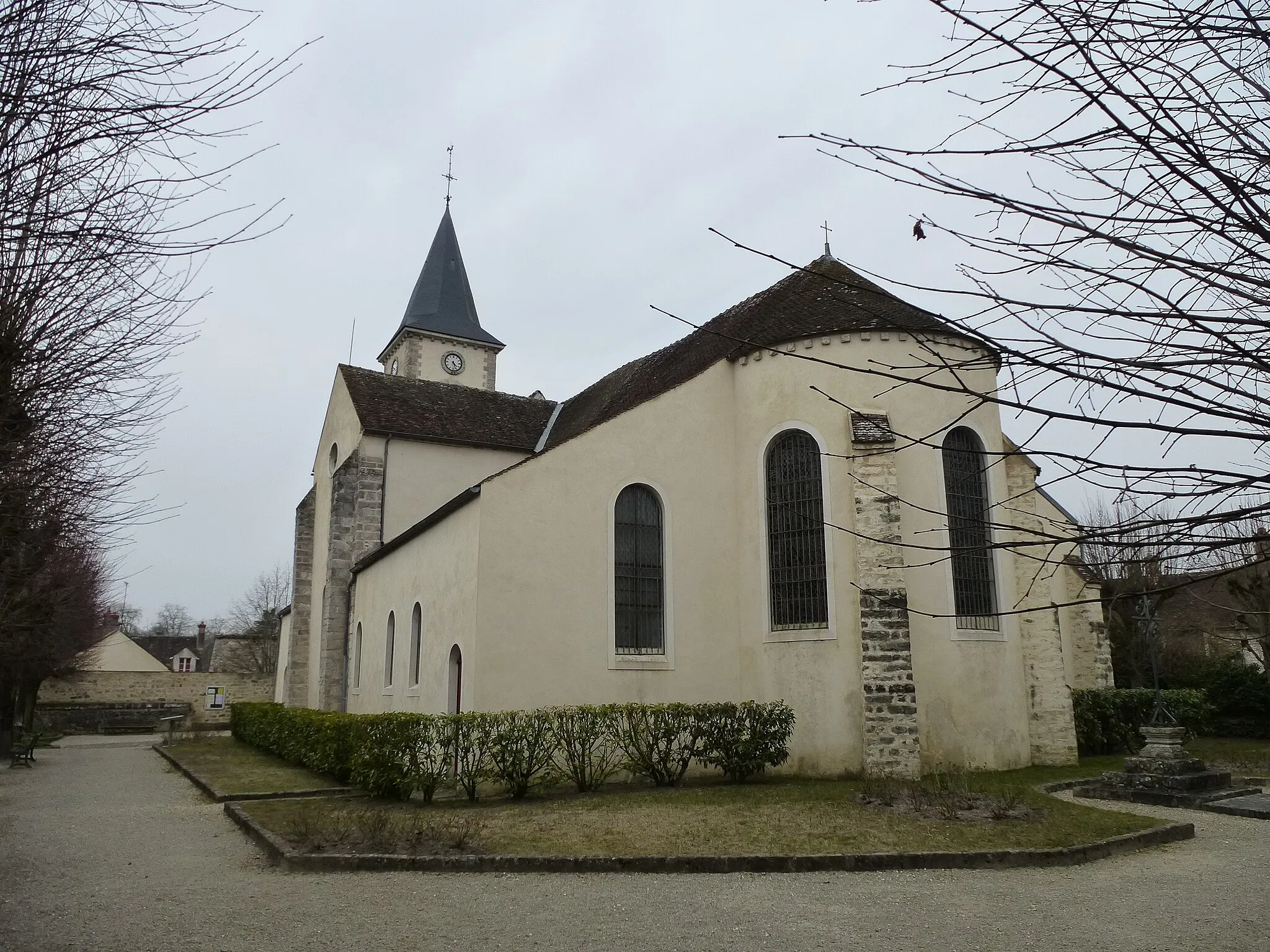
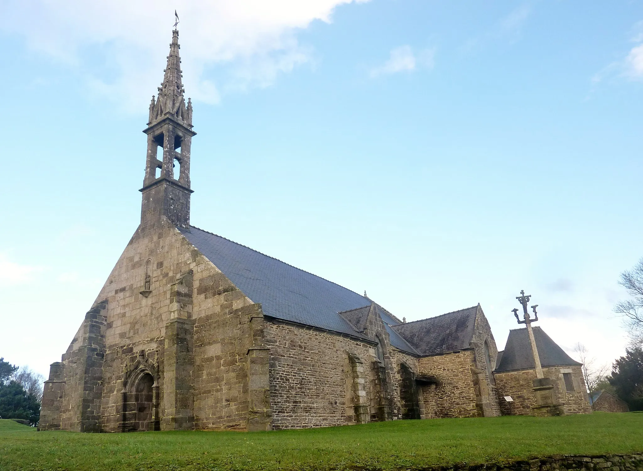
This challenging road cycling route takes you through the beautiful countryside near Saint-James. With a total ascent of 767 meters and a distance of 74 kilometers, it offers a thrilling ride for experienced cyclists. The route features several highlights, including Saint-Laurent-de-Terregatte, a charming village known for its picturesque landscape.
Road to Antrain

Embark on a scenic journey to the historic town of Antrain
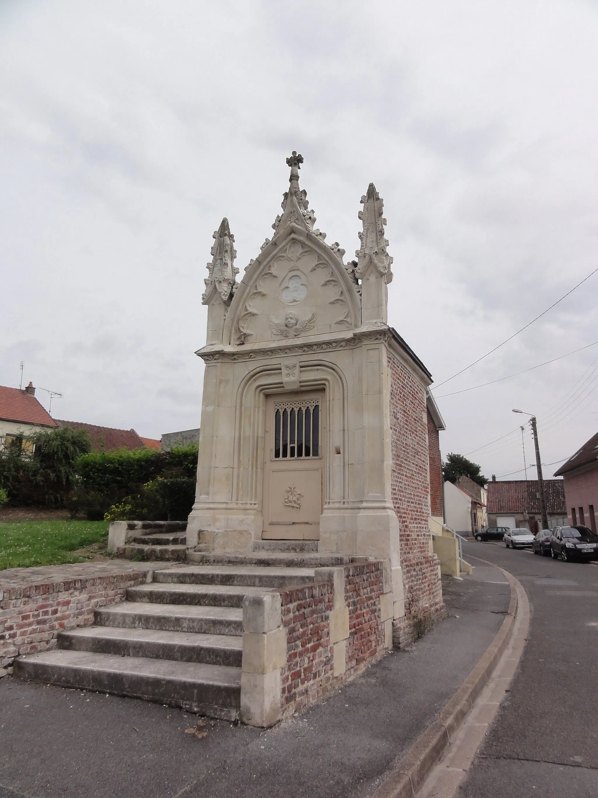
Cycle through picturesque countryside and charming villages on this road cycling route to Antrain. With a total ascent of 550 meters over a distance of 71 kilometers, this route offers a moderate challenge for amateur cyclists. The highlight of this route is the historic town of Antrain, known for its beautiful architecture and rich history.
The Rural Escape
A journey through the rural landscapes of Basse-Normandie
The Rural Escape route takes you on a cycling adventure through the idyllic rural landscapes of Basse-Normandie. With a challenging difficulty level, this route is suitable for experienced cyclists seeking a true countryside escape. Along the way, you will pass by picturesque villages, historic landmarks, and vast farmland. The route showcases the beauty of the region's rural charm and offers a chance to discover hidden gems along the road.

Conquer the challenging climbs of the Avranches region on this epic road cycling route
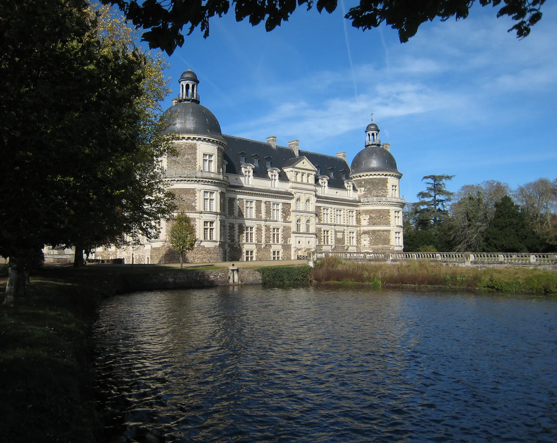
Embark on an epic cycling journey through the Avranches region, tackling challenging climbs and enjoying breathtaking views along the way. With a total ascent of 1277 meters over a distance of 106 kilometers, this route is recommended for well-trained amateur cyclists looking for a tough challenge. The highlights include the iconic Pontaubault bridge, offering stunning views over the Couesnon River, and the historic town of Saint-Senier-sous-Avranches, known for its charming architecture and panoramic views.
Countryside Escape

Escape to the serene countryside of Basse-Normandie on this scenic road cycling route
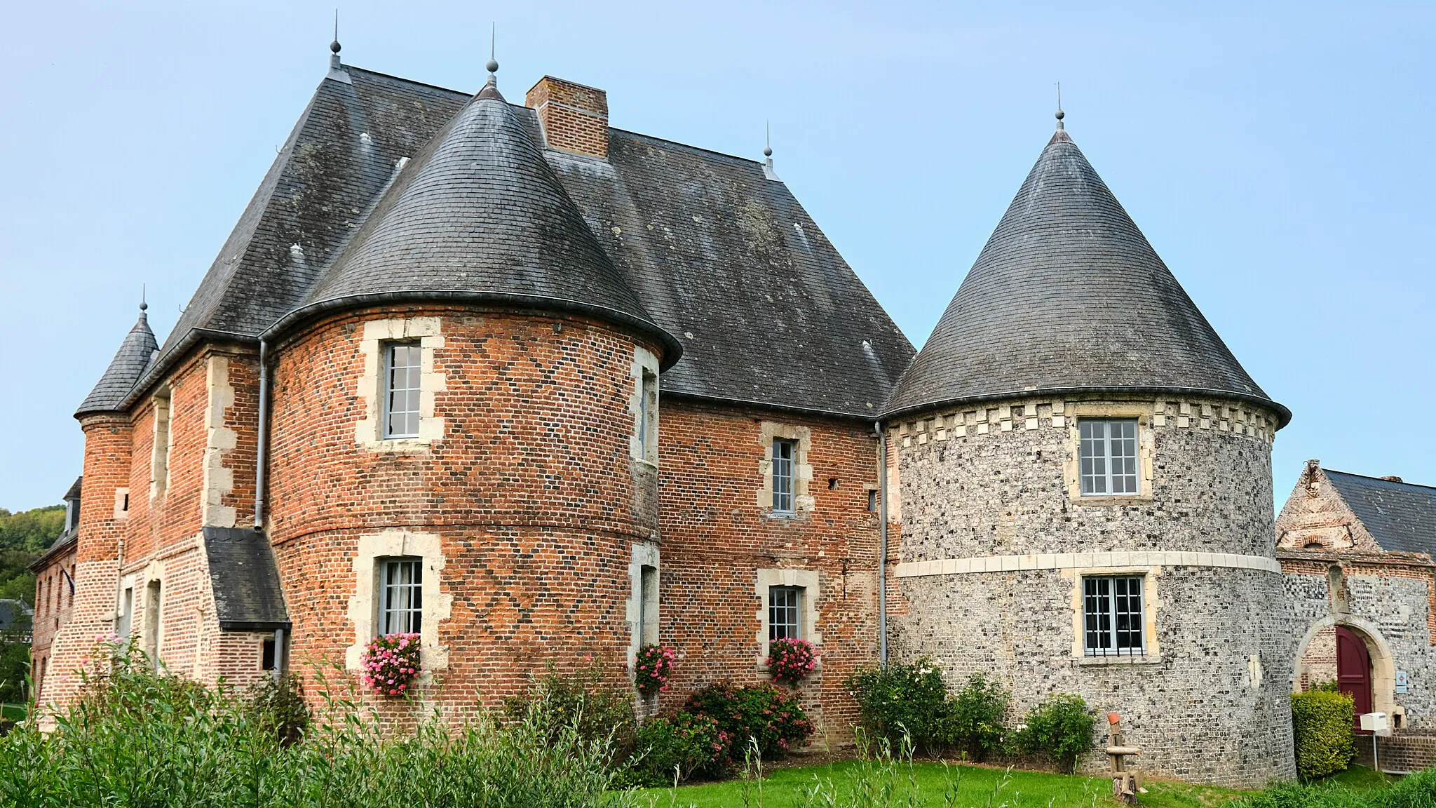
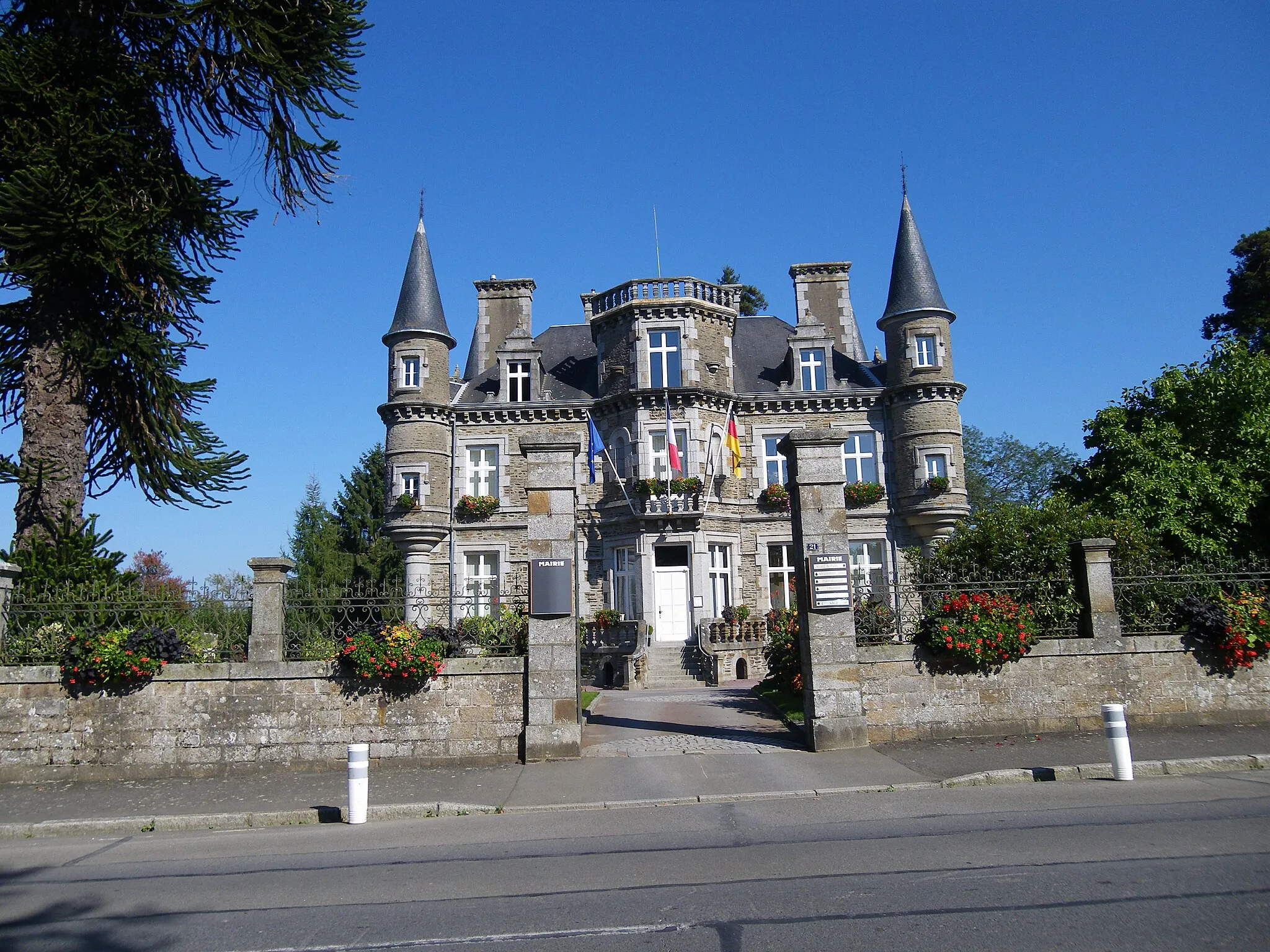
Experience the tranquility of the Basse-Normandie countryside on this picturesque road cycling route. With a total ascent of 586 meters over a distance of 61 kilometers, this route offers a moderate challenge for amateur cyclists. The highlights include the charming town of Ducey, with its beautiful historic buildings, and the stunning Château de la Paluelle, known for its picturesque setting.
Gravel Adventure

Discover the villages and countryside of Basse-Normandie on this gravel cycling route
Explore the charming villages and rolling hills of Basse-Normandie on this picturesque gravel adventure. With a total ascent of 815 meters over a distance of 92 kilometers, this route offers a moderate challenge for amateur cyclists. The highlights include the scenic village of Bion, with its beautiful historic buildings, and the charming town of Le Ferré, known for its medieval castle.
Cycling routes nearby:


Nearby regions: