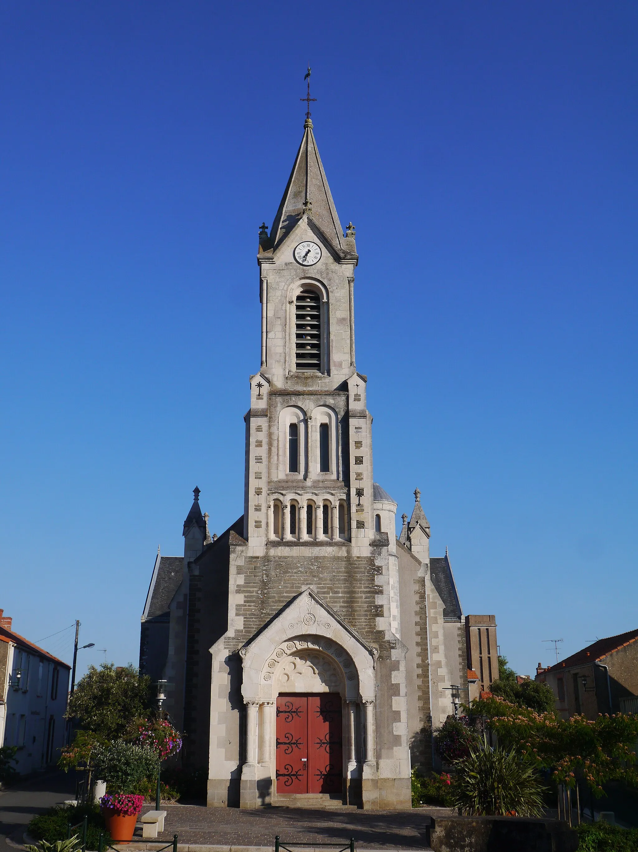
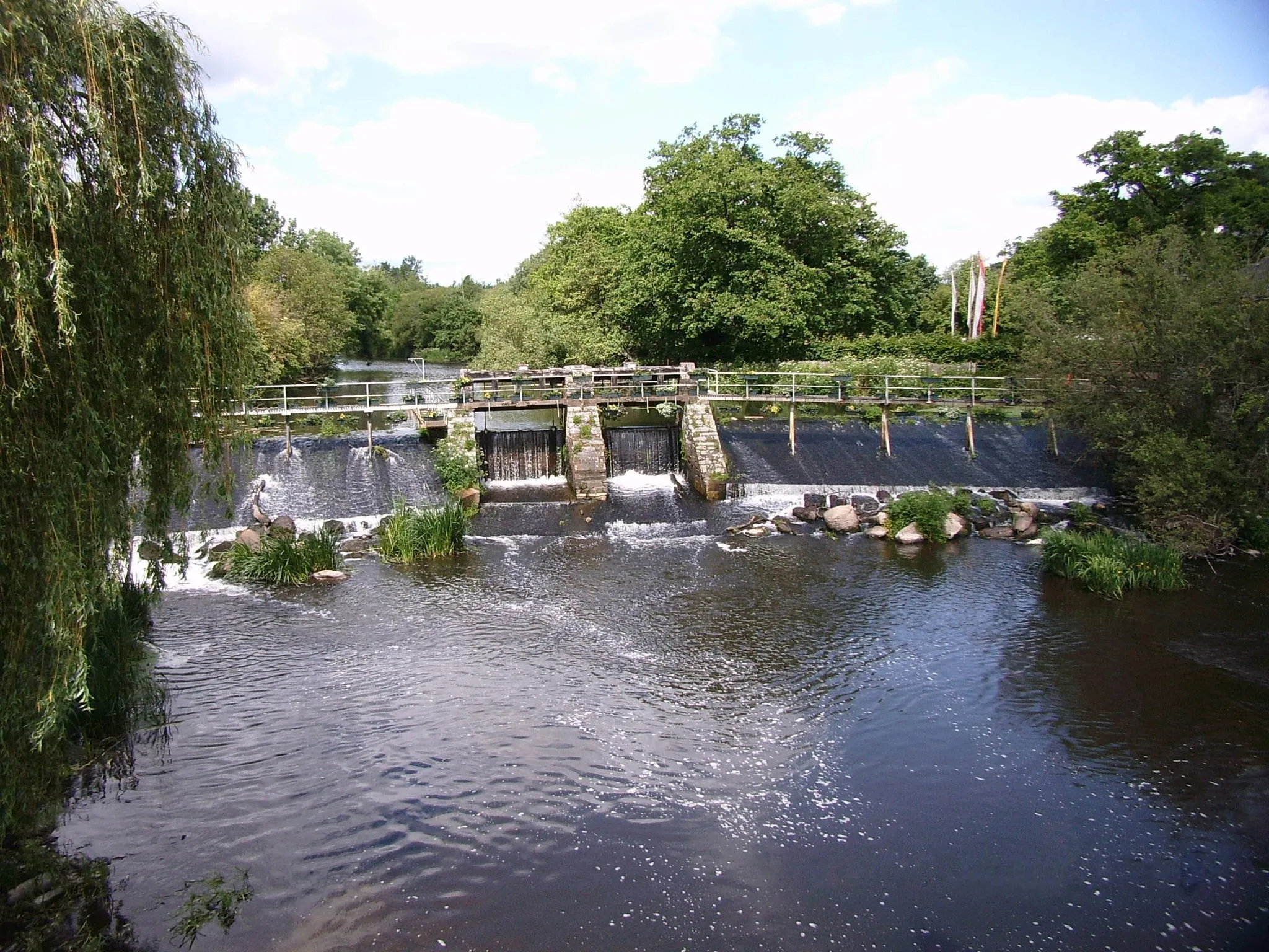
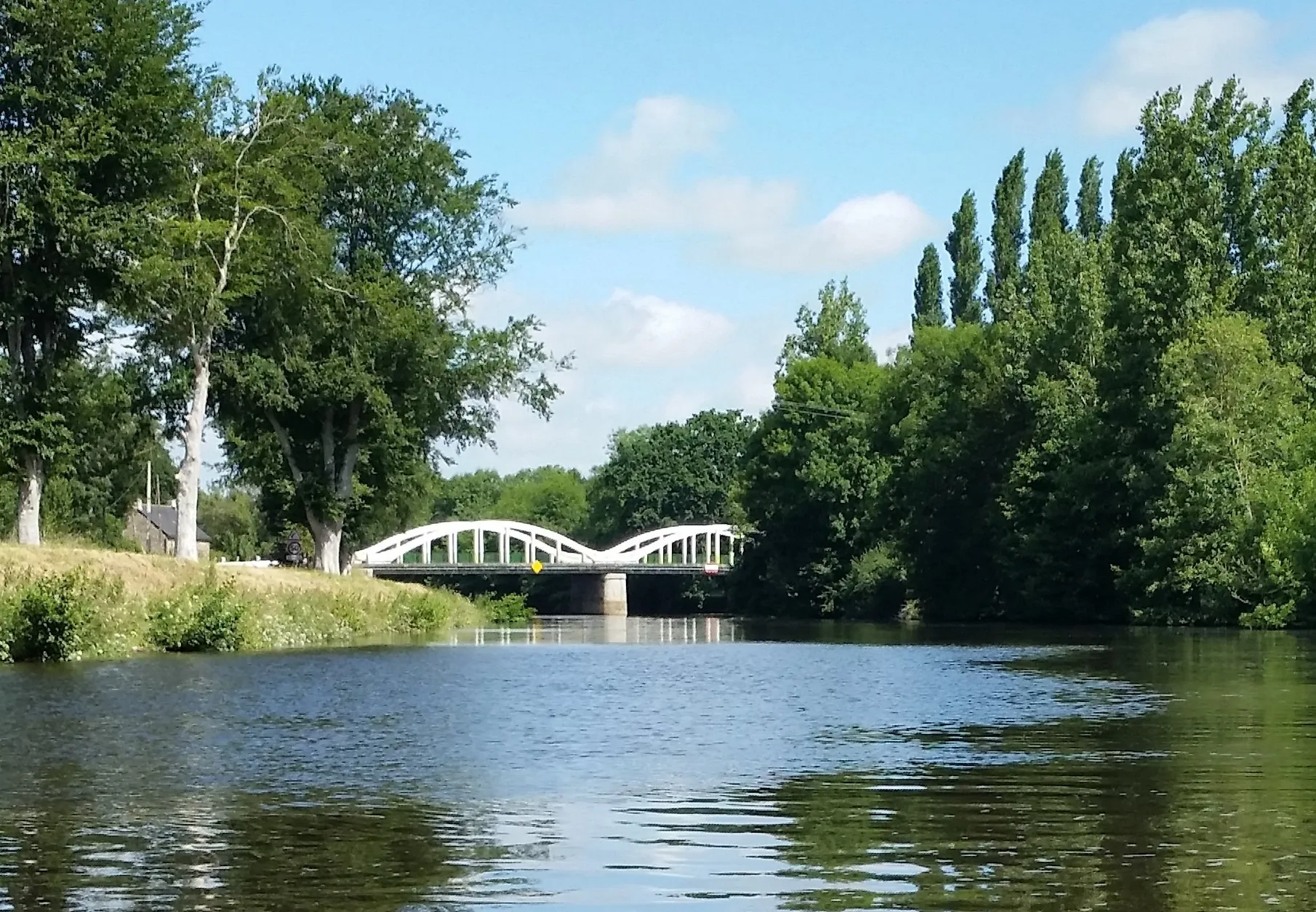
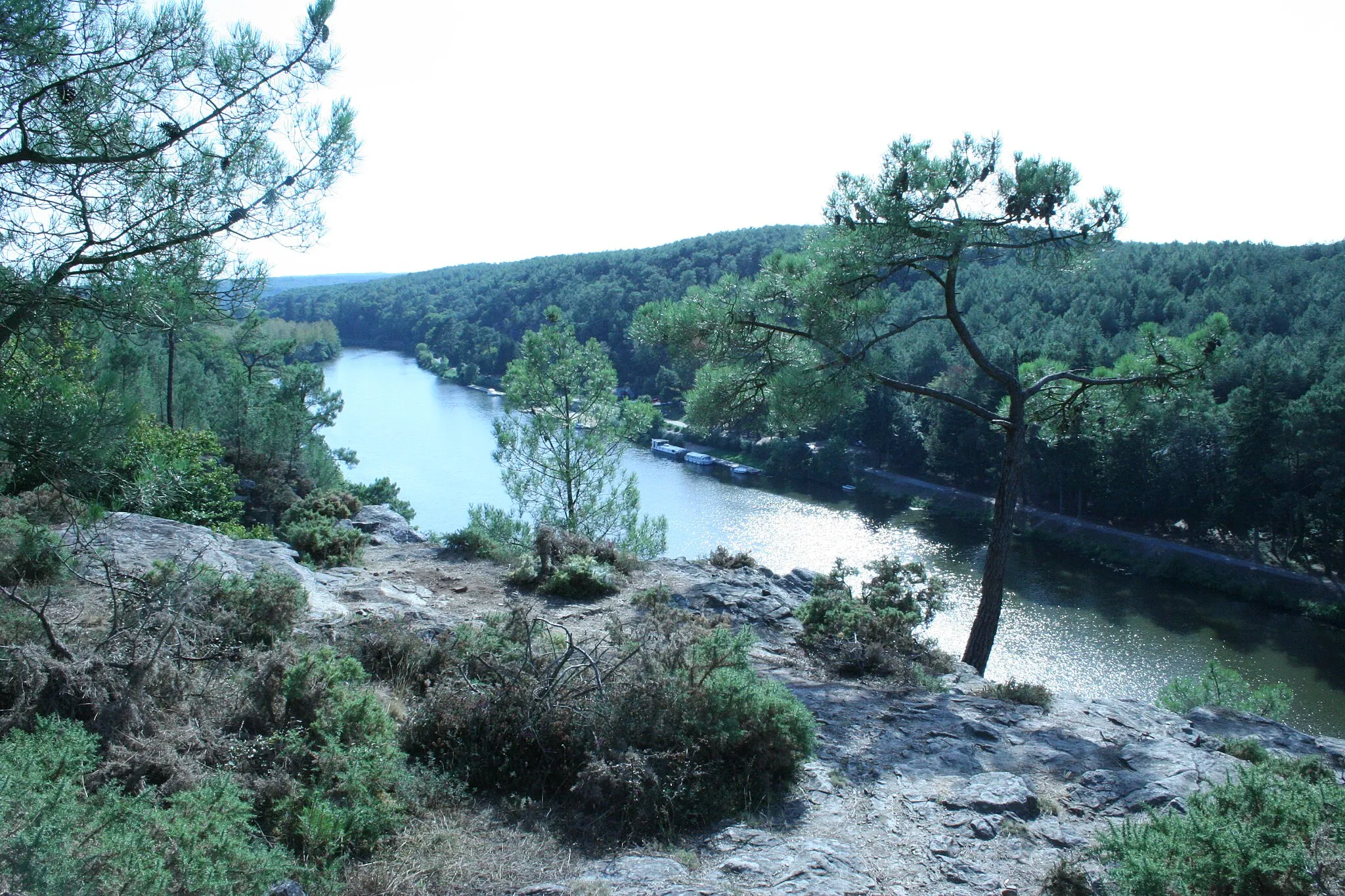
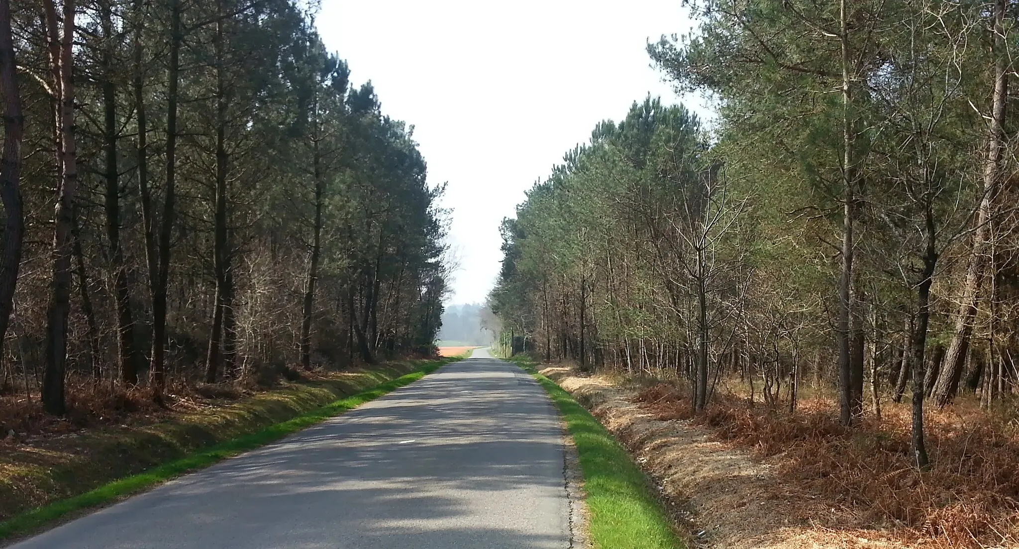
Scenic countryside cycling in Bretagne.
Cycling routes from Carentoir
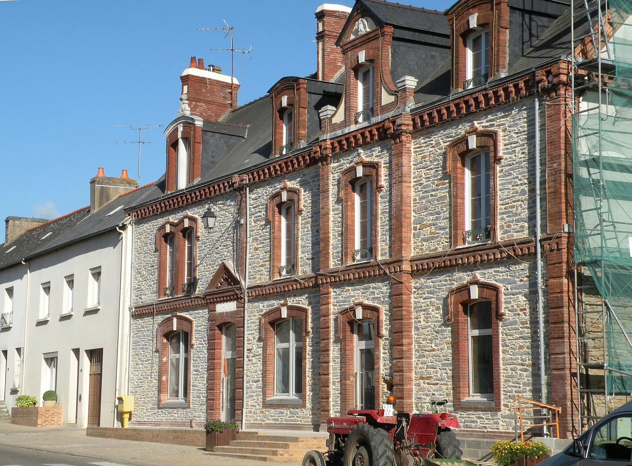
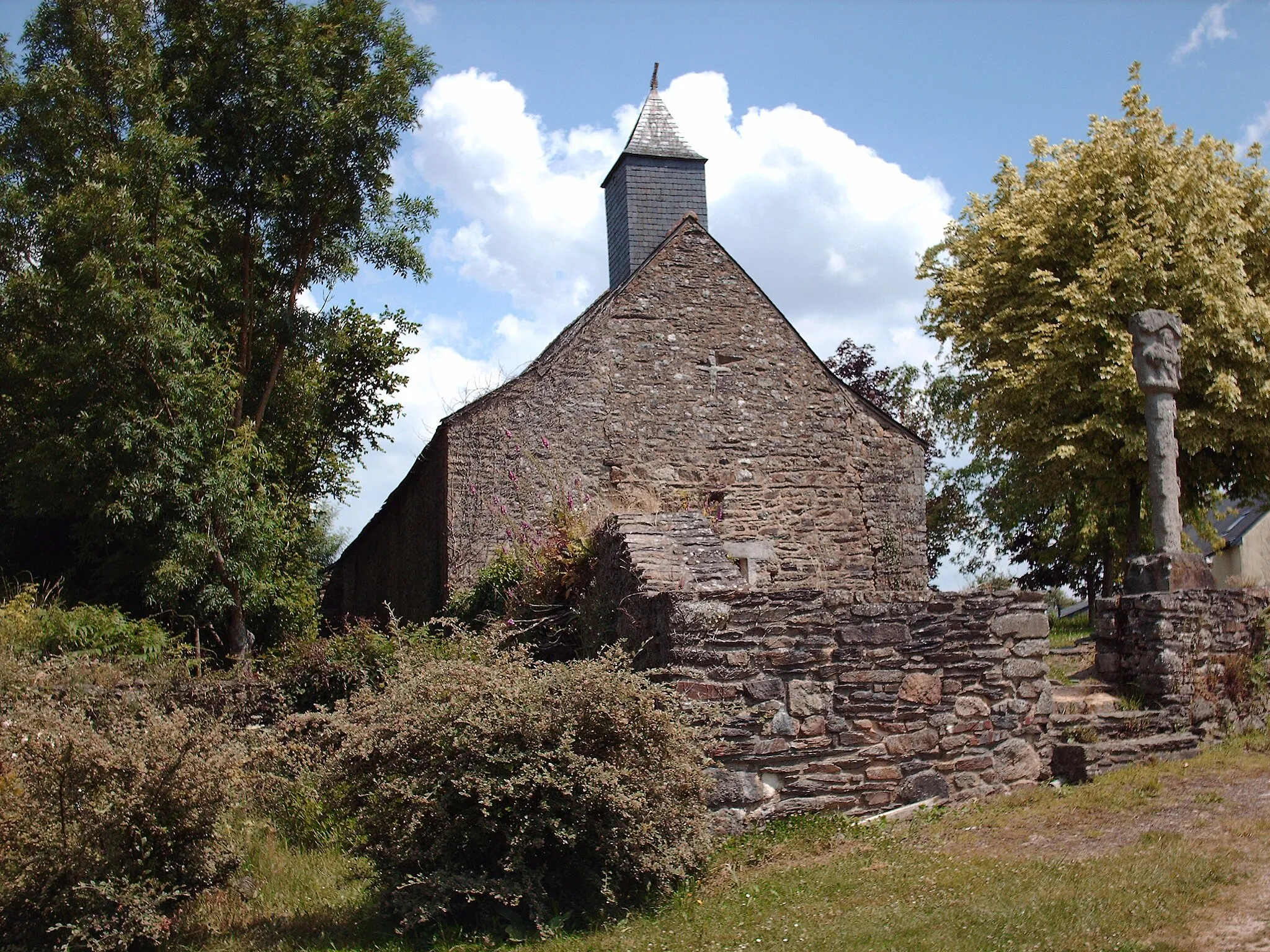
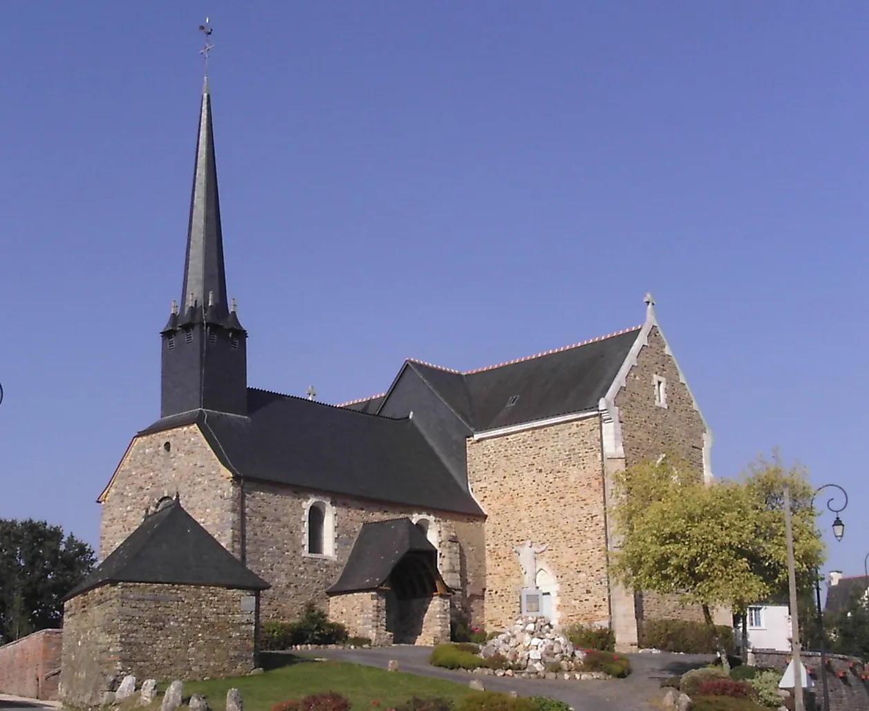
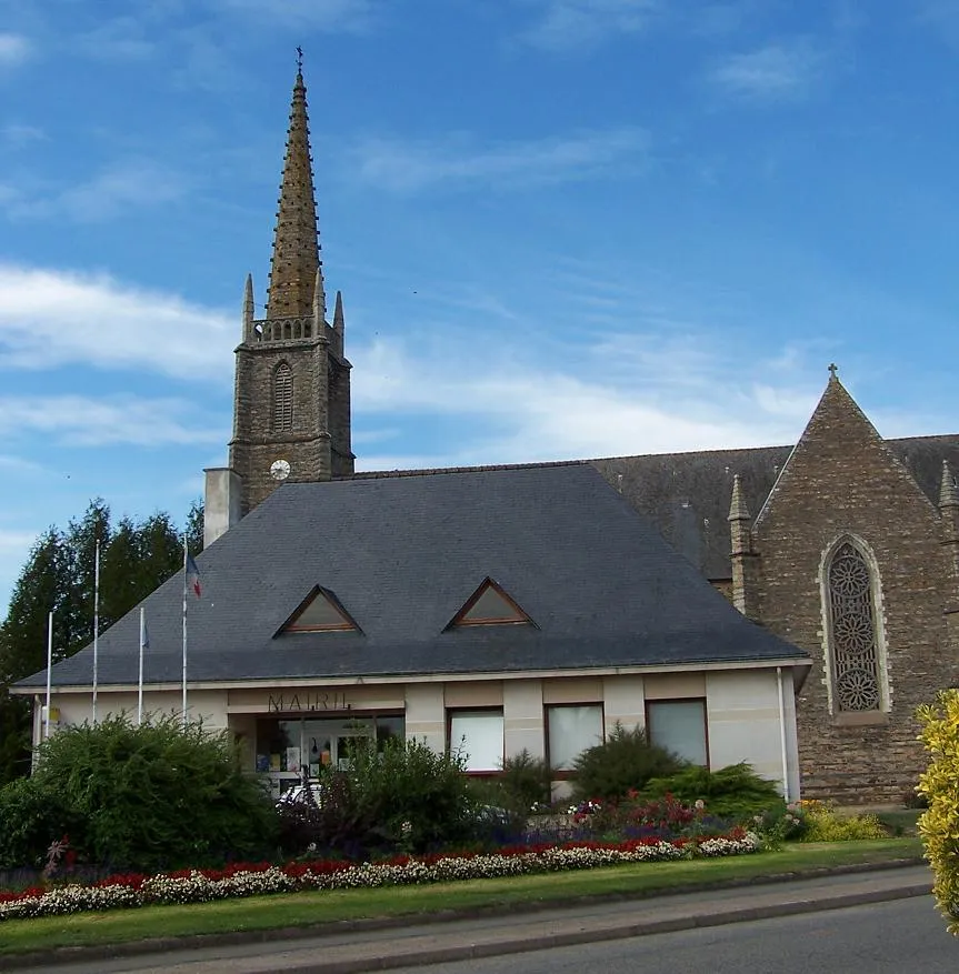
Carentoir is a town located in the Bretagne region of France. This locality offers decent cycling opportunities for both road and gravel cyclists. The area comprises rolling hills and picturesque farmland, creating an idyllic backdrop for cycling. Cyclists visiting Carentoir can explore the surrounding countryside and ride along quiet and scenic roads. While there may not be any famous cycling spots or well-known climbs immediately nearby, the peaceful ambiance and beautiful vistas make Carentoir a worthwhile destination for cyclists seeking a relaxing and visually appealing cycling experience.
Exploring the Countryside
Discover the beautiful countryside of Bretagne on this road cycling route near Carentoir
This scenic cycling route takes you through the picturesque landscapes of Bretagne, offering stunning views of the countryside. With a total distance of 130 km and an elevation gain of 1078 meters, this route will challenge even well-trained amateur cyclists. The highlights along the way include Saint-Laurent-sur-Oust, a charming village situated 16 km from the route, and Montertelot, a historic town worth exploring. As you cycle through Illifaut and Guer, you'll be immersed in the rich history and culture of the region. Overall, this route offers a perfect blend of challenging terrain and beautiful scenery.
Embark on an adventurous road cycling journey around Carentoir, discovering hidden gems and stunning landmarks along the way.
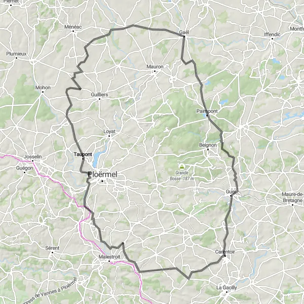
This road cycling route is a true adventure, taking you through diverse landscapes and enchanting villages around Carentoir. With a total distance of 81 km and an ascent of 702 m, this circuit offers a rewarding challenge for experienced cyclists. Explore the historic Manoir de Balangeard, admire the medieval architecture of Malestroit, and take in the breathtaking views from Ploërmel. With highlights including the picturesque village of Monteneuf and the scenic vistas of Carentoir, this route is sure to impress.
Scenic Road Tour to Loutehel
Embark on a scenic road tour, reaching the picturesque village of Loutehel
This road cycling route takes you through charming towns, with the final destination being the picturesque village of Loutehel. With a total distance of 105km and an ascent of 831m, this route is suitable for well-trained amateurs. The epicness of this route is rated at 3.

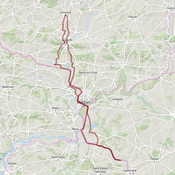
Embark on an off-road adventure through the gravel routes near Carentoir
This gravel cycling route offers a unique adventure through the rugged terrain near Carentoir. With a distance of 56 km and an elevation gain of 404 meters, this route is suitable for experienced gravel cyclists. Highlights along the way include Augan, a small village with traditional French charm, and Réminiac, known for its stunning natural landscapes. As you cycle through Gourhel, you'll be able to enjoy the peacefulness of the countryside. Overall, this route provides a thrilling off-road experience with a blend of beautiful scenery and challenging terrain.
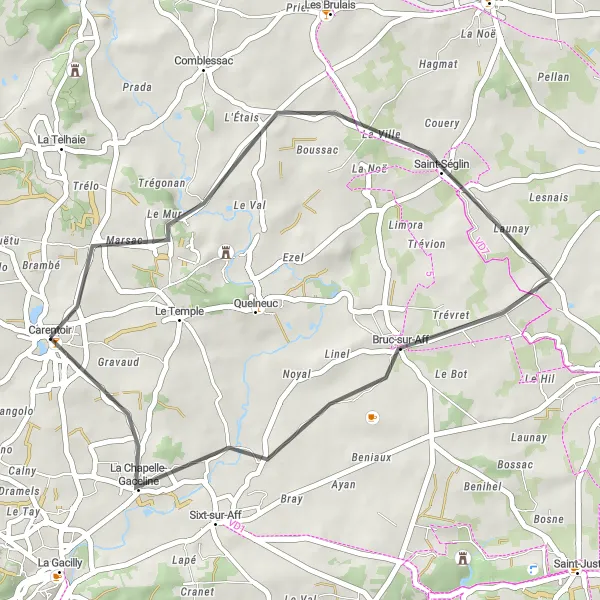
Experience the rustic charm of Saint-Séglin on this scenic rural road route.
This road cycling route takes you through picturesque countryside, with stunning views and charming villages along the way. The route is relatively short and manageable, making it perfect for cyclists of all levels. With a total distance of 34 km and an ascent of 282 m, this loop provides a great opportunity to explore the beautiful surroundings near Carentoir.
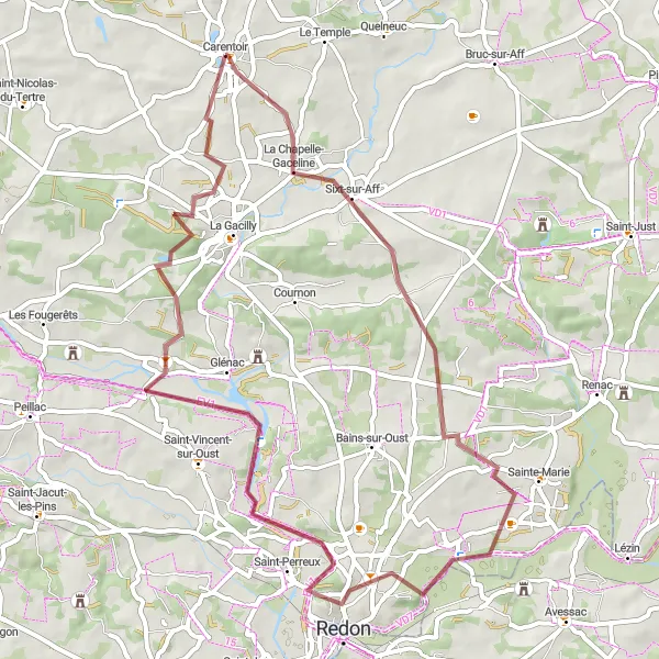
Embark on a gravel adventure around Carentoir, discovering hidden gems along the way.
This gravel cycling route provides a thrilling off-road experience for cyclists seeking an adrenaline rush. With a distance of 56 km and an ascent of 456 m, this loop takes you through rugged terrains and varying landscapes near Carentoir. From breathtaking nature reserves to the historic town of Redon, this route offers a mix of natural beauty and cultural exploration.
Peillac to Carentoir Loop

Discover the charming towns of Peillac and Carentoir on this scenic cycling route
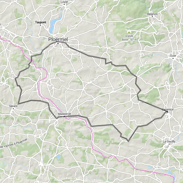
This road cycling route takes you through picturesque towns, offering stunning views of the surrounding countryside. Starting in Peillac, you'll pass through Limerzel and Pleucadeuc before reaching the final destination of Carentoir. With a total distance of 89km and an ascent of 862m, this route is suitable for well-trained amateurs. The epicness of this route is rated at 3.

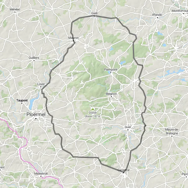
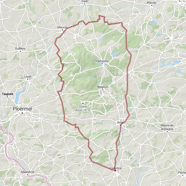
Embark on a thrilling road cycling challenge around Mauron, taking in the stunning scenery of the area.
This road cycling route is perfect for cyclists seeking an exhilarating challenge through diverse landscapes and historic villages. With a total distance of 92 km and an ascent of 836 m, this circuit offers a thrilling journey around Mauron near Carentoir. Along the route, you'll pass through the picturesque village of Saint-Nicolas-du-Tertre, visit the historic town of Gourhel, and admire the stunning views from Mauron. Discover the enchanting forest of Paimpont and end your journey in Guer, a scenic town known for its charming architecture.
Explore the historic ruins and scenic countryside on this gravel cycling route
This gravel cycling route takes you through the scenic countryside, passing by ancient ruins and historic sites. With a total distance of 88km and an ascent of 520m, this route is suitable for well-trained amateurs. The epicness of this route is rated at 2.
Embark on an epic gravel adventure through the rugged landscapes surrounding Monteneuf
This gravel cycling route takes you through the scenic Monteneuf region, offering breathtaking views of nature. With a total distance of 94km and an ascent of 848m, this route is suitable for well-trained amateurs. The epicness of this route is rated at 4.
Cycling routes nearby:

Nearby regions: