Exploring the scenic roads and villages of Bretagne.
Cycling routes from Guichen
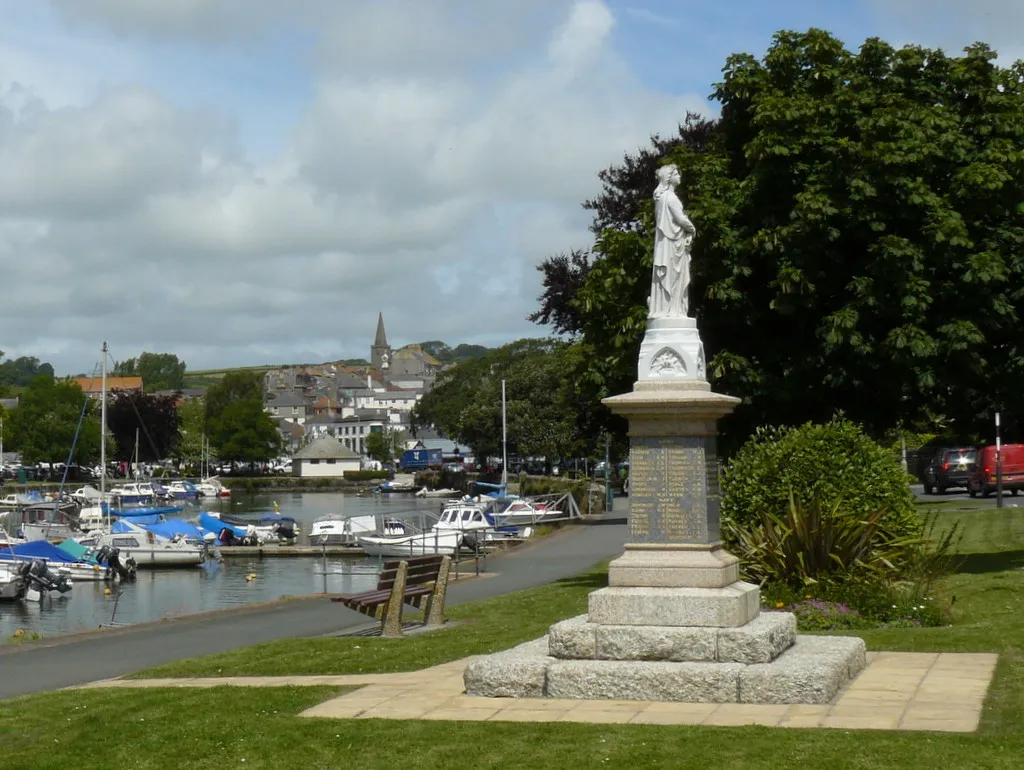
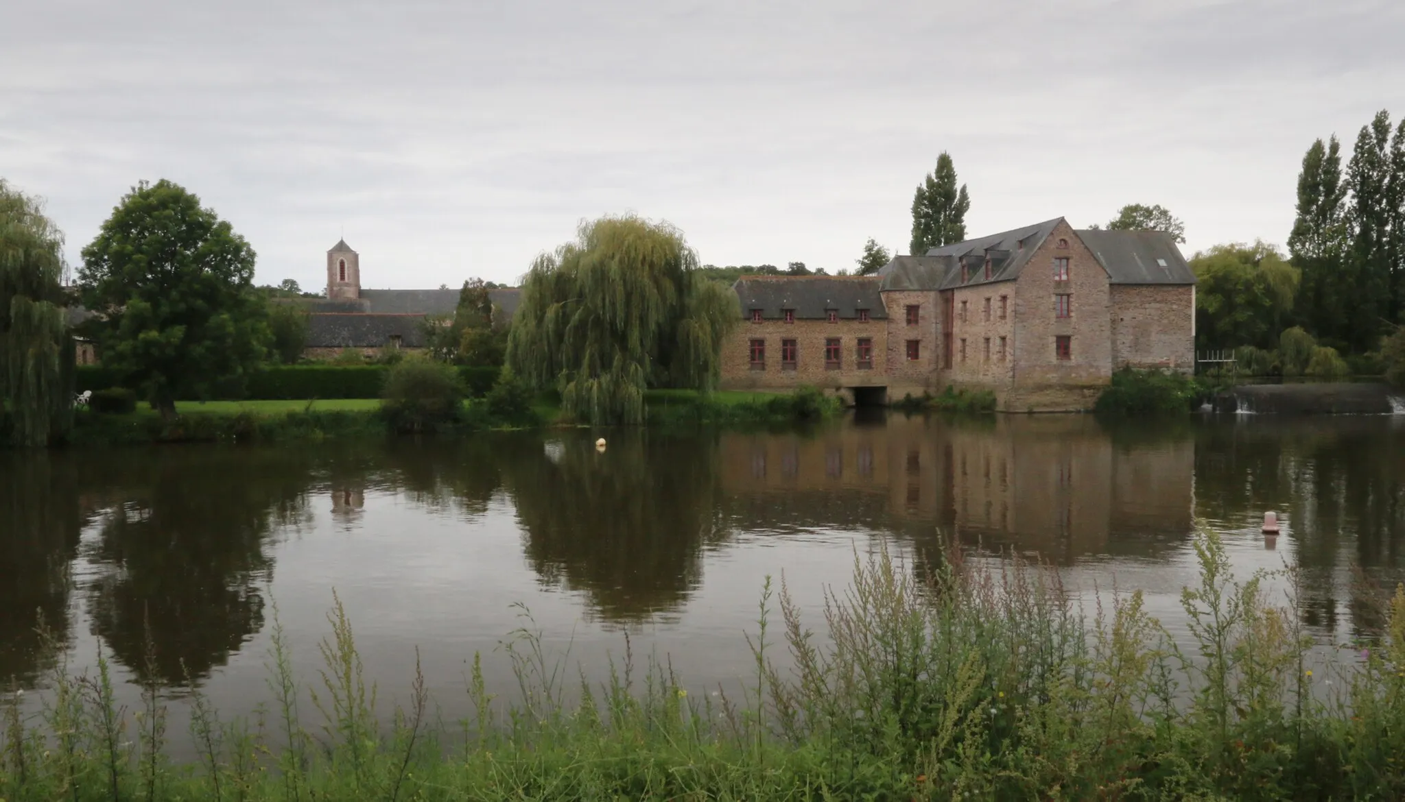
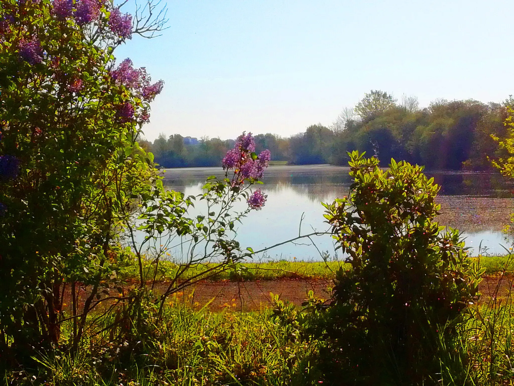
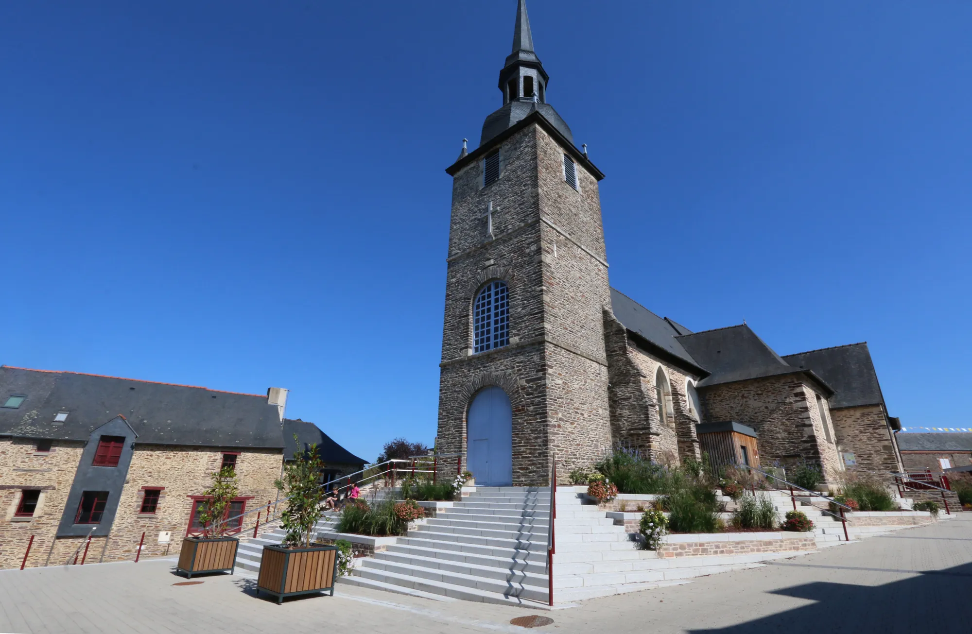
Guichen is a delightful locality situated in the Bretagne region of France. From a cyclist's perspective, Guichen offers a mix of scenic road routes and gravel trails that meander through the picturesque countryside. The region is known for its rich history and charming villages, making it a great destination for cyclists seeking cultural experiences alongside their rides. For those looking for more challenging climbs, Mont Saint-Michel is within a reasonable distance. Overall, Guichen is a cycling-friendly area with an abundance of natural beauty and cultural attractions to explore.

Immerse yourself in the stunning scenery of Guichen and Laillé on this scenic gravel route.
Escape into the natural wonders of Guichen and Laillé on this scenic gravel route that boasts picturesque landscapes and a mix of challenging terrains. With a total ascent of 257 meters over a distance of 42 kilometers, this route is perfect for cyclists of all levels looking to explore the beauty of Bretagne's countryside.
Gravel Route: Guichen to Laillé
Experience the charm of Bretagne's countryside as you cycle from Guichen to Laillé on this scenic gravel route.
Cycle through the picturesque landscapes of Guichen and Laillé on this gravel route that offers breathtaking views and a mix of challenging terrains. With a total ascent of 325 meters over a distance of 57 kilometers, this route is perfect for moderately experienced cyclists looking for a memorable ride in Bretagne.

Embark on this exciting road route from Guichen to Bourg-des-Comptes, exploring picturesque towns along the way.
Discover the beauty of Bretagne's countryside as you cycle through scenic towns on this road route from Guichen to Bourg-des-Comptes. With a total ascent of 620 meters over a distance of 83 kilometers, this challenging route is perfect for experienced cyclists seeking to test their endurance and enjoy stunning landscapes.
Guichen to Laillé Gravel Route

Explore the scenic gravel roads from Guichen to Laillé
This distinct gravel route takes you from Guichen to Laillé, offering beautiful scenery and challenging terrains. With a total distance of 69km and ascent of 379m, it is a moderately difficult ride suitable for well-trained amateurs. The route passes through highlights like Château de Blossac, Cleunay, Betton, Noyal-Châtillon-sur-Seiche, Pont-Péan, and Laillé.

Embark on a road cycling adventure from Guichen to Saint-Senoux
With a total distance of 136km and an ascent of 1060m, this road route takes you through scenic landscapes from Guichen to Saint-Senoux. It offers a challenging ride for well-trained amateurs. Along the way, you will pass through highlights like Bourgbarré, Soulvache, Ruffigné, Jans, Conquereuil, Langon, Guipry, and Saint-Senoux.
Guichen to Baulon Road Route
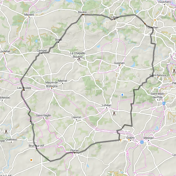
Discover the charms of rural cycling on the route from Guichen to Baulon
This road route spans 71km with an ascent of 709m, offering the opportunity to explore the rural beauty between Guichen and Baulon. Well-suited for well-trained amateurs, the route takes you through highlights such as Saint-Senoux, Les Brulais, Campel, and Baulon.
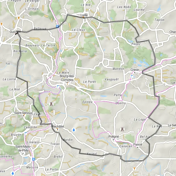
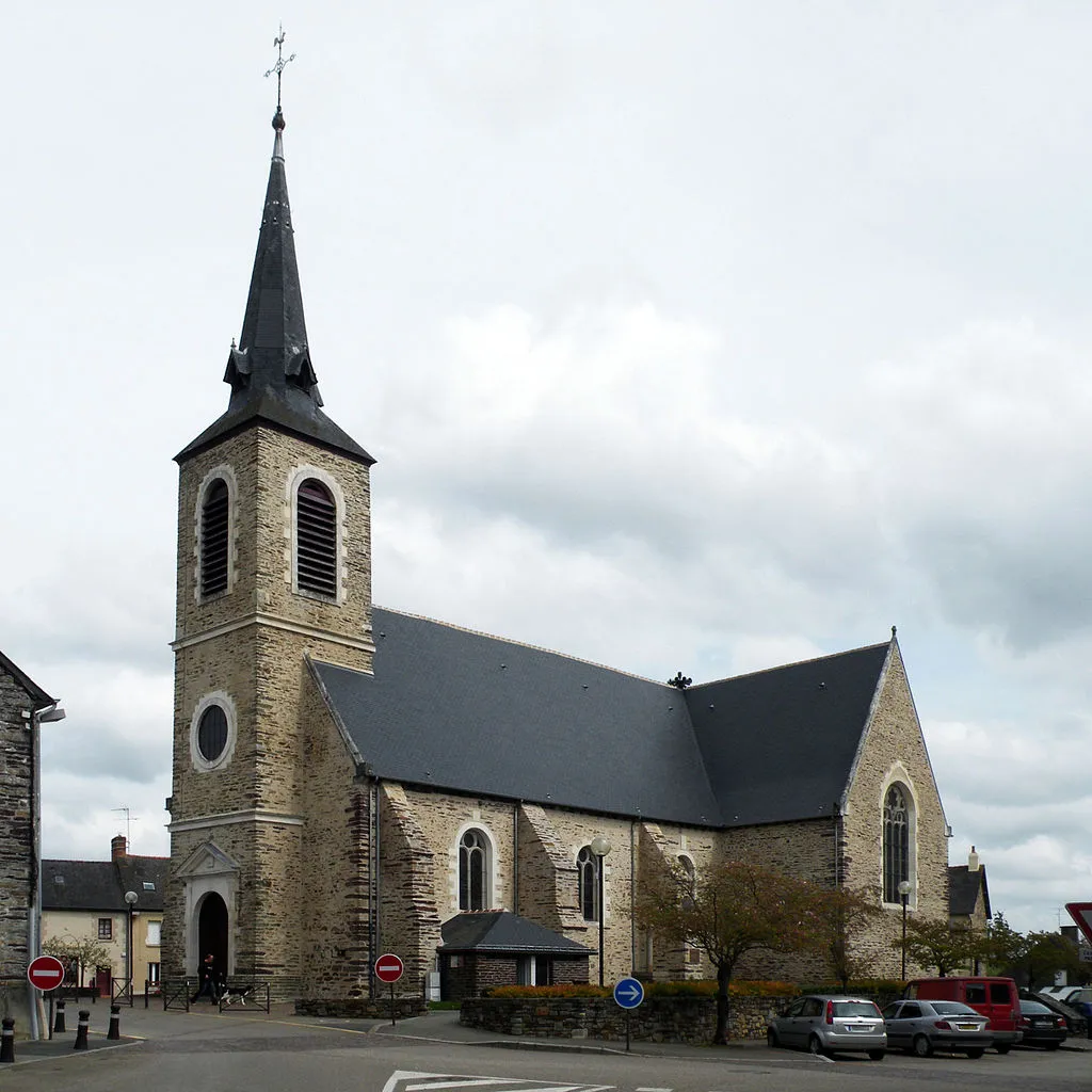
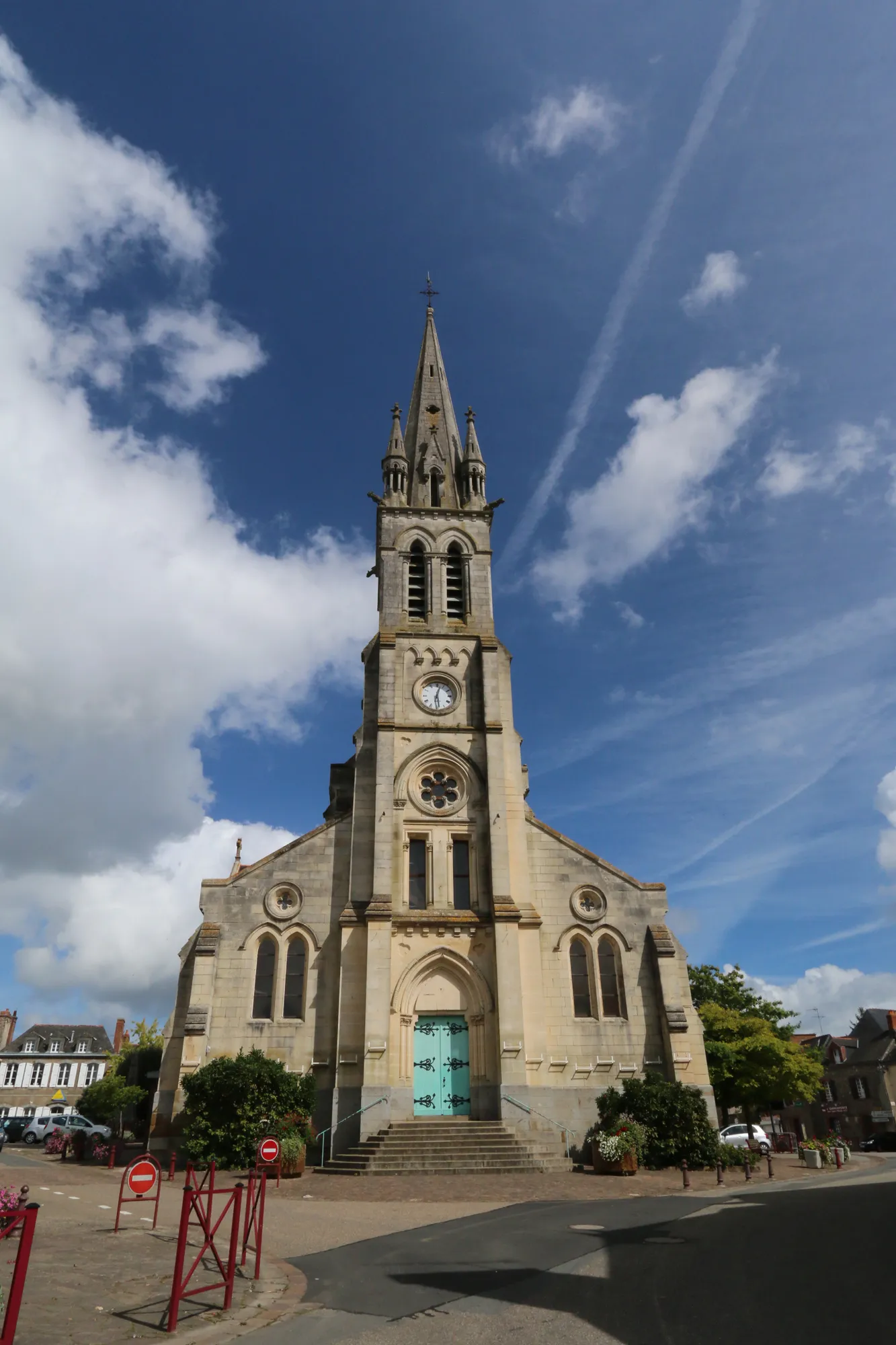
Experience the scenic road cycling from Guichen to Pléchâtel
This road route stretches for 48km, with an ascent of 494m, providing a delightful cycling experience from Guichen to Pléchâtel. The route encompasses highlights such as Laillé, Crevin, and Pléchâtel itself. Ideal for well-trained amateurs, it offers a rewarding journey through picturesque landscapes.

Embark on an epic road route from Guichen to Redon, conquering challenging climbs and savoring breathtaking views.
Unleash your true cycling potential as you conquer challenging climbs and experience the thrill of an epic road route from Guichen to Redon. With a total ascent of 1299 meters over a distance of 129 kilometers, this route is designed for advanced cyclists seeking an adrenaline-fueled adventure in the heart of Bretagne.

Experience the scenic road cycling from Guichen to Guichen
This road route takes you from Guichen all the way back to Guichen, covering a distance of 120km and with an ascent of 1034m. It is a challenging ride suited for well-trained amateurs. Along the way, you will pass through highlights such as Bourg-des-Comptes, Bain-de-Bretagne, Mouais, Conquereuil, Guémené-Penfao, Massérac, and Guichen itself.

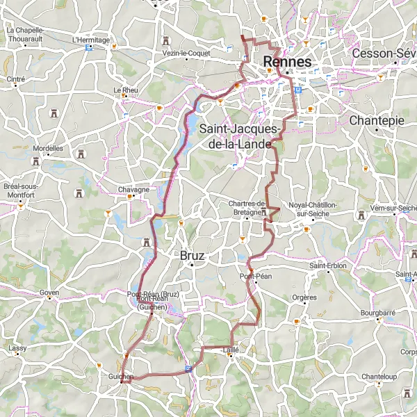
Embark on an extended gravel route starting from Guichen and leading through the beautiful landscapes of Laillé and Rennes.
This extended gravel route takes you on a breathtaking journey through the natural wonders of Guichen, Laillé, and Rennes. With a total ascent of 326 meters over a distance of 58 kilometers, this challenging route is ideal for experienced cyclists seeking an unforgettable adventure in Bretagne.
Cycling routes nearby:


Nearby regions: