Cycling through charming villages and conquering famous climbs in Pleumeleuc, France.
Cycling routes from Pleumeleuc
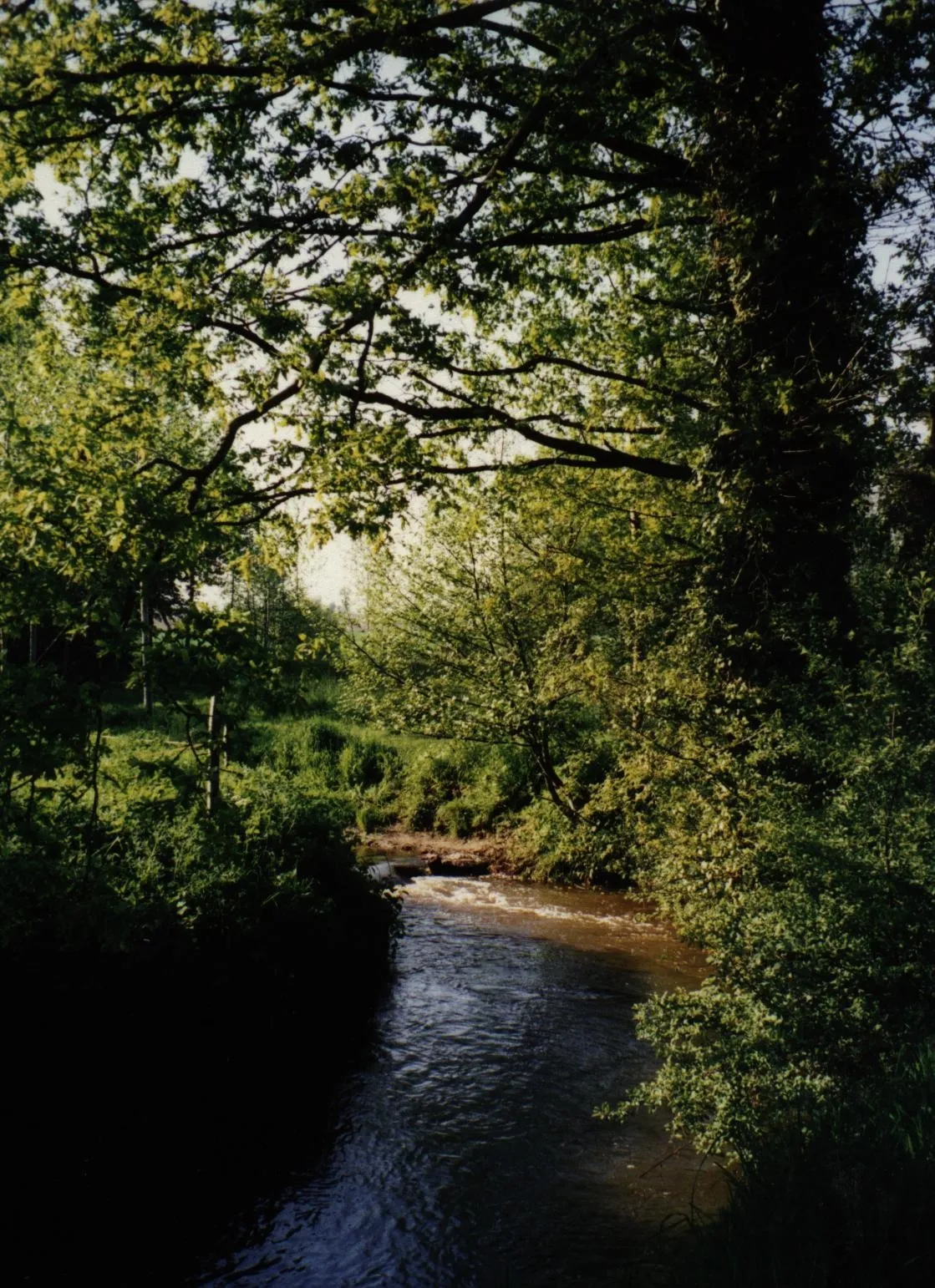
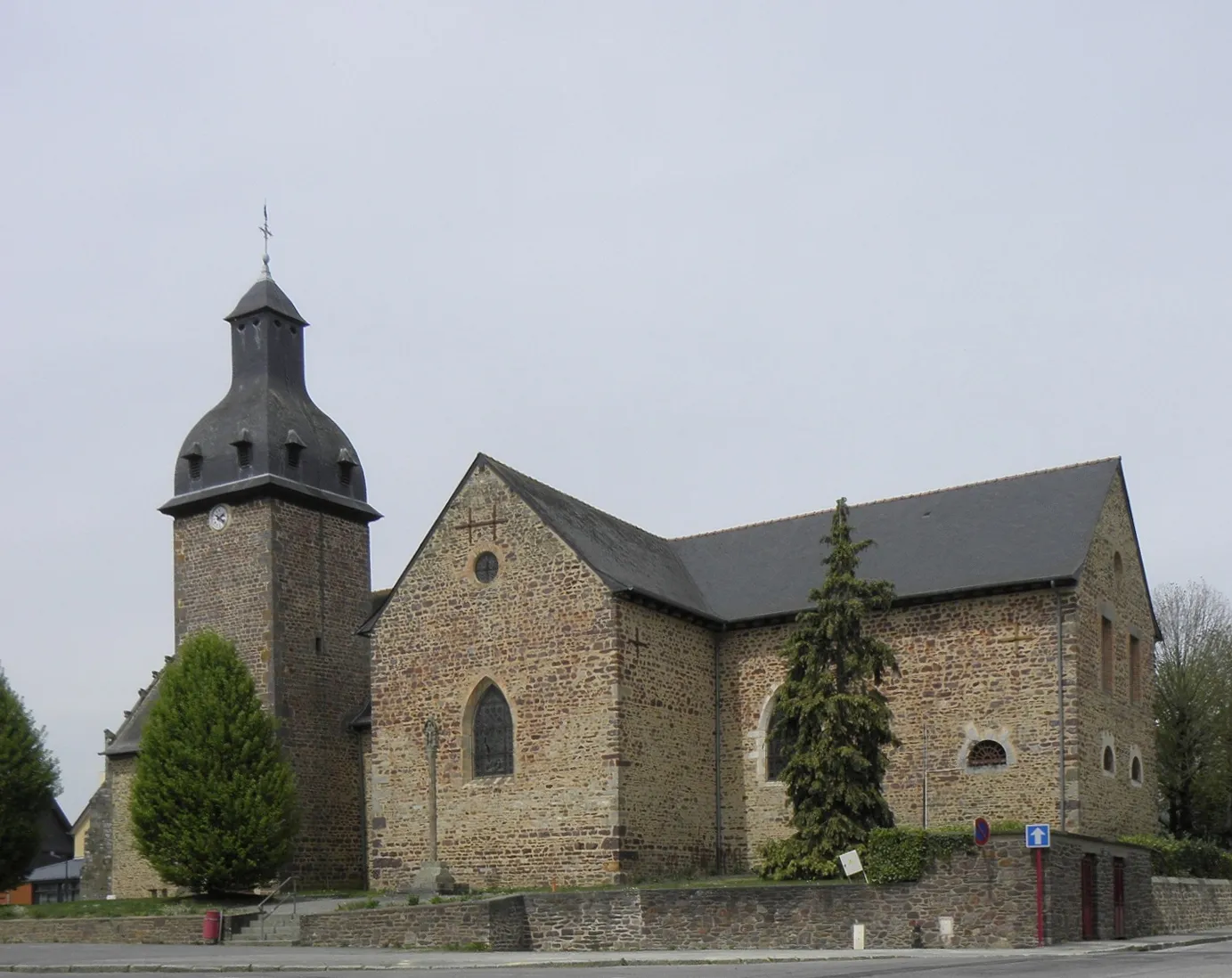
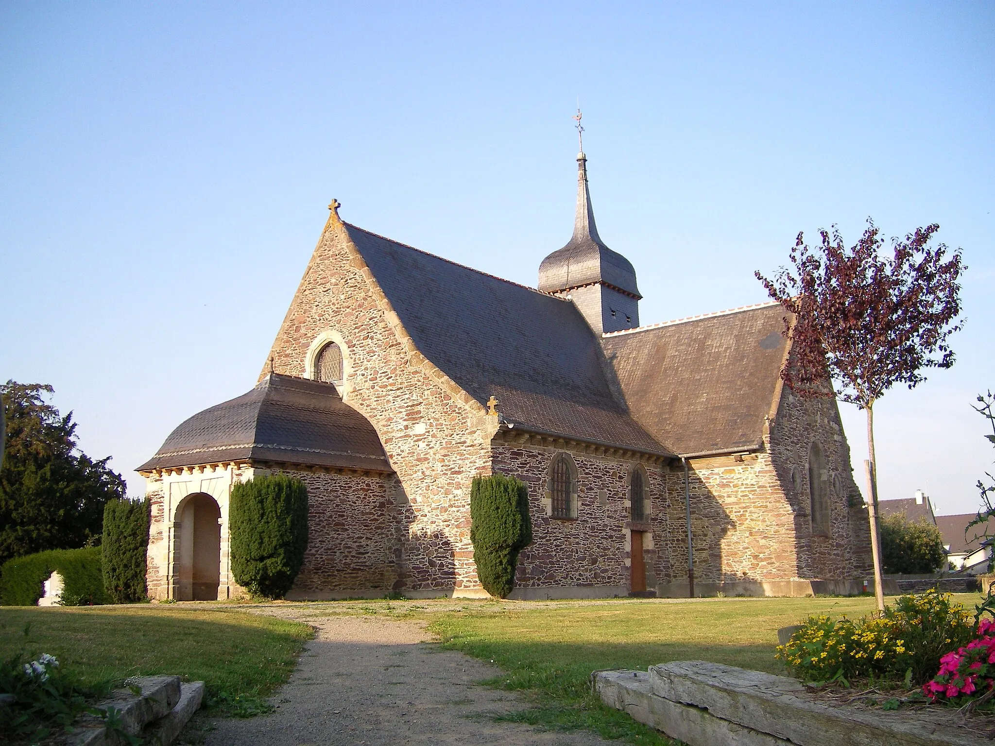
Pleumeleuc is a commune located in the Bretagne region of France. From a cyclist's perspective, Pleumeleuc offers a mix of rolling hills and flat terrain, making it suitable for road and gravel cycling. The surrounding area features beautiful countryside landscapes and charming villages to explore. Pleumeleuc also has several well-known climbs nearby, including Mont-Saint-Michel, which attracts cyclists from all over the world. With its scenic beauty and challenging routes, Pleumeleuc is a great destination for cyclists of all levels.
Discover Concoret
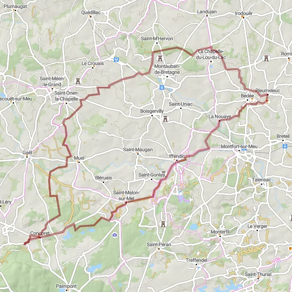
A gravel journey through Concoret's magical landscapes
With an ascent of 490m and a distance of 78km, this gravel route is ideal for adventurous cyclists craving a diverse and enchanting experience. Beginning near Pleumeleuc, you'll pedal through Iffendic before reaching the magical town of Concoret. The route allows you to discover hidden gems such as the historic sites and panoramic vistas. This challenging route is enhanced by its scenic highlights and provides ample opportunities for memorable moments.
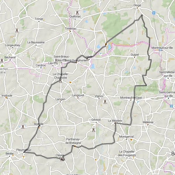
Exploring scenic road routes near Pleumeleuc
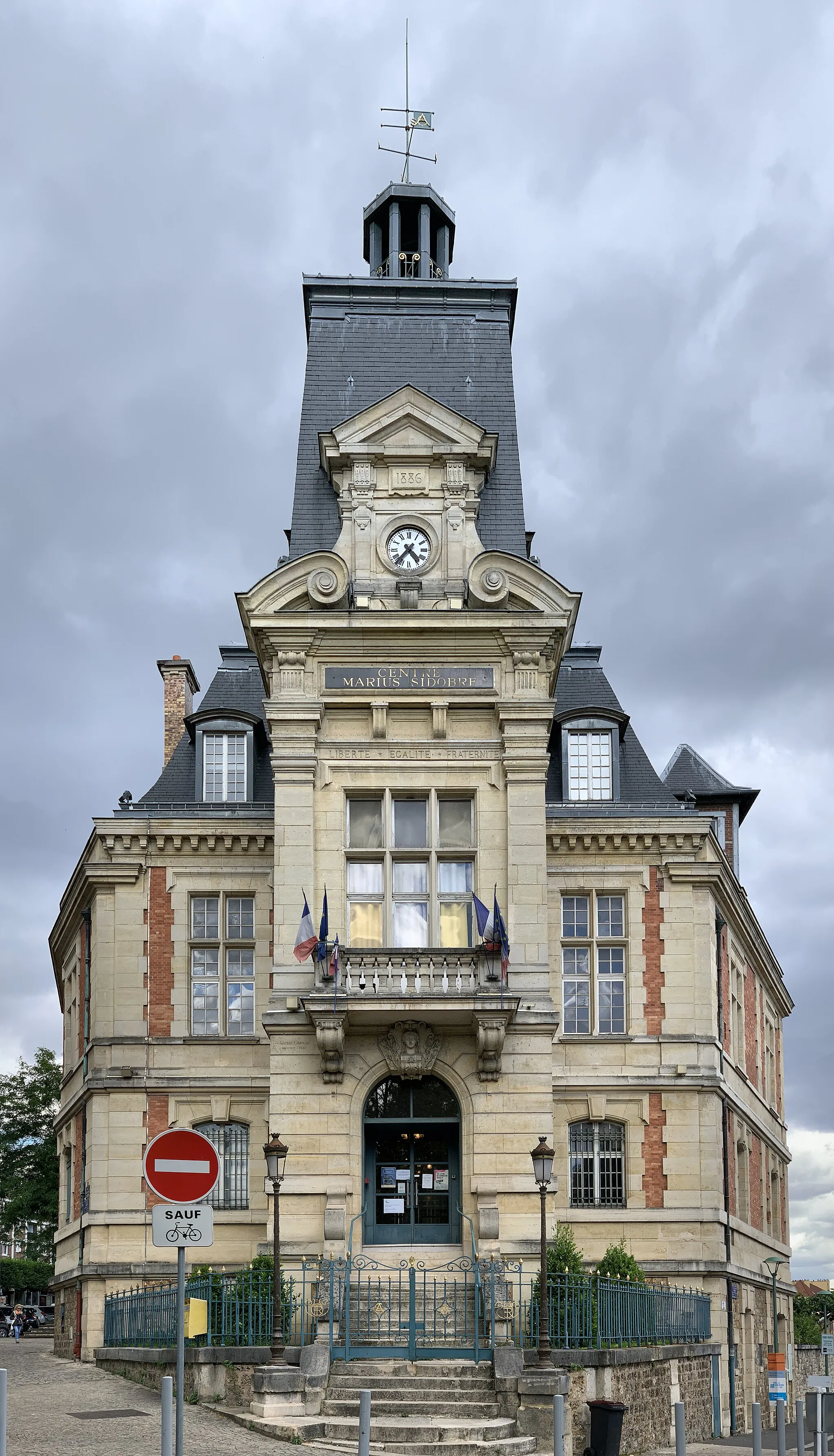
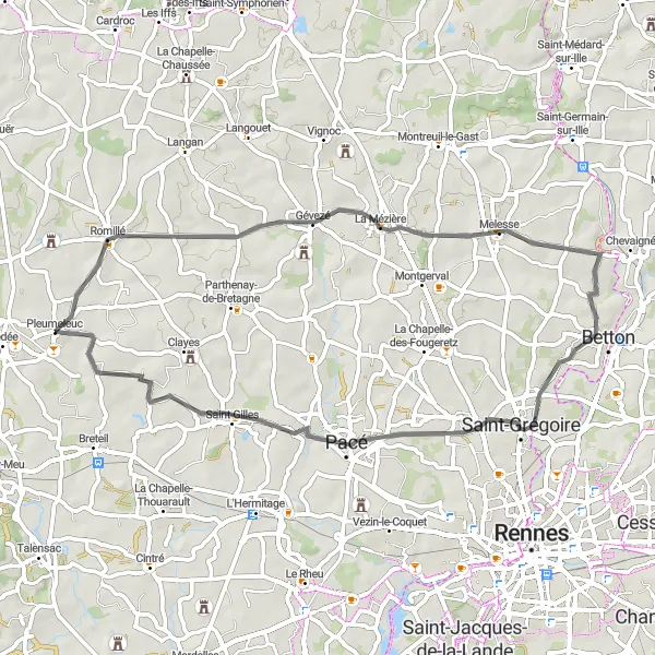
This road cycling route takes you on a journey through the scenic countryside near Pleumeleuc. With an ascent of 419m and a distance of 65km, this route offers a moderate challenge for cyclists of all levels. Along the way, you'll pass through charming towns like Romillé and Hédé, where you can take a moment to appreciate the beautiful architecture and local culture. The highlight of this route is the picturesque town of Pleumeleuc/Centre, where you can take in the charm of the village and enjoy its tranquil atmosphere.
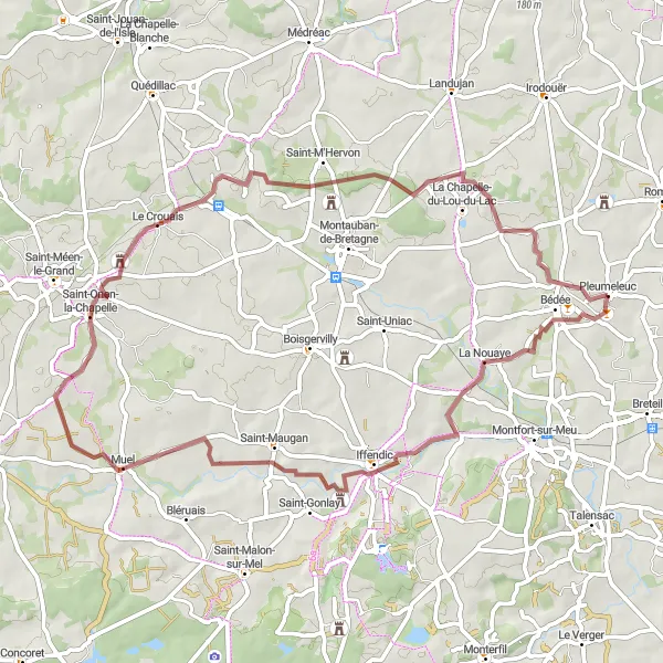
Explore the scenic countryside of Pleumeleuc on this gravel route
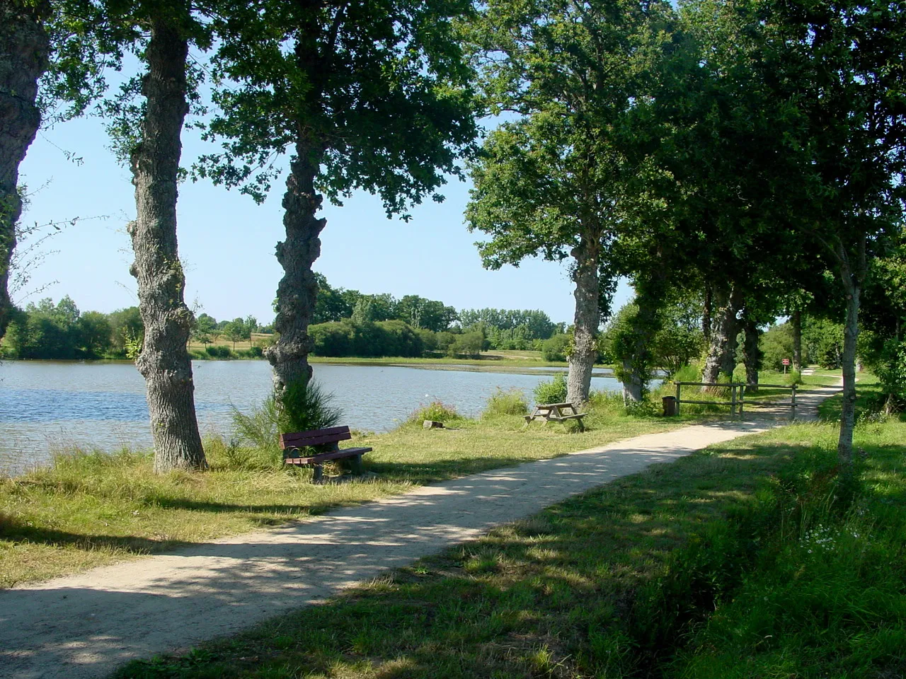
This gravel route takes you through picturesque villages such as Iffendic and Saint-M'Hervon. With a total distance of 60 km and an ascent of 357 m, it offers a moderate challenge. The route is ideal for gravel bike enthusiasts who enjoy a mix of off-road and on-road terrain.
A gravel adventure through the scenic village of L'Espérance
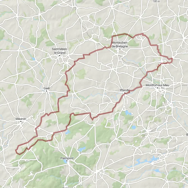
For gravel enthusiasts seeking a more challenging route near Pleumeleuc, this adventure through L'Espérance is sure to meet their expectations. With an ascent of 581m and a distance of 93km, this route provides a thrilling experience through breathtaking landscapes and hidden gems along the way. Be prepared to be mesmerized by the beauty of Bédée and Saint-Malon-sur-Mel, and don't miss the opportunity to explore Concoret with its captivating history and magical surroundings. The highlight of the route is undoubtedly the picturesque village of L'Espérance, known for its natural beauty and serene atmosphere.
A road route exploring the beauty of Saint-Gilles and its surroundings
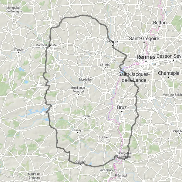
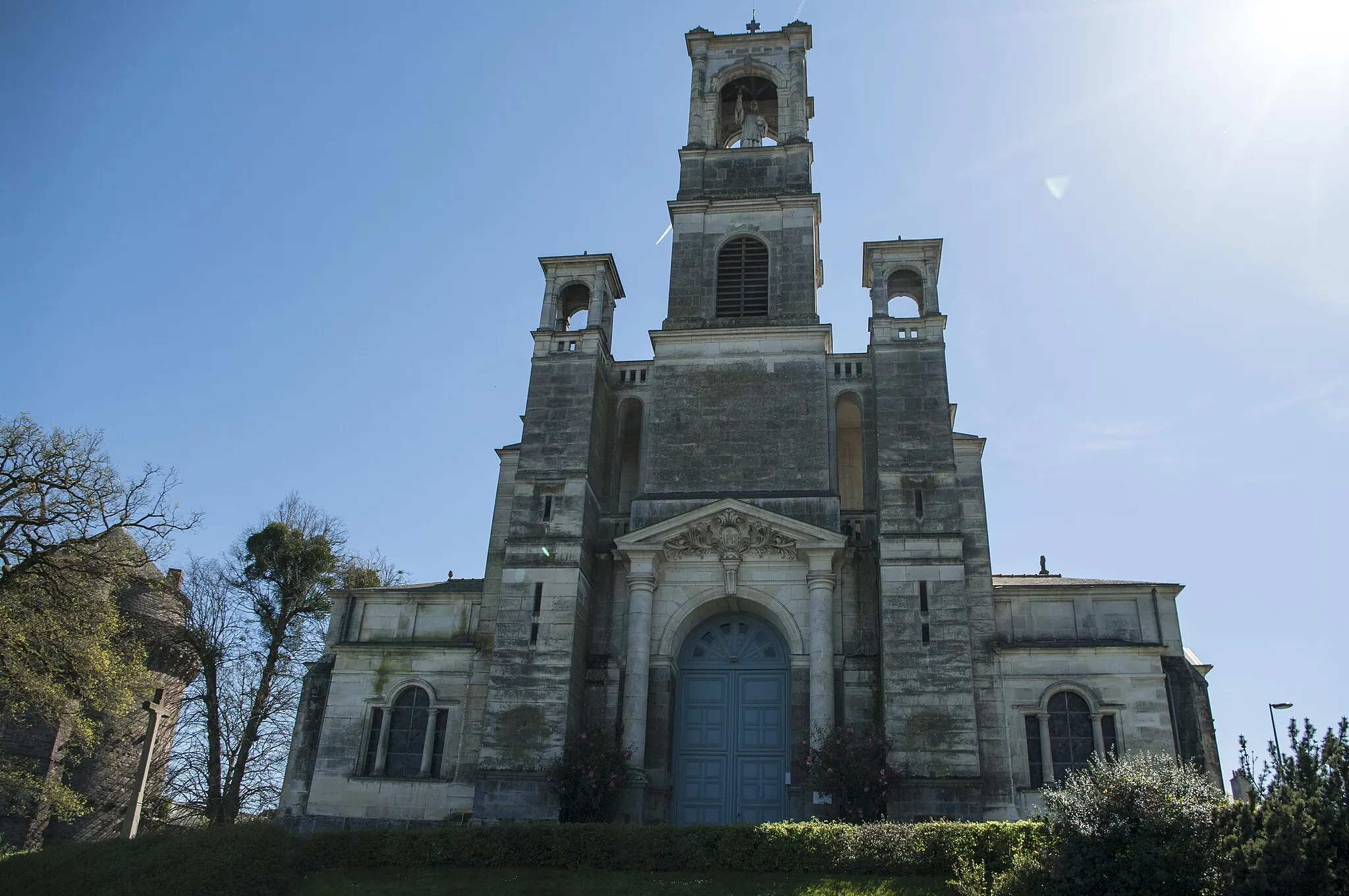
Embark on a road cycling adventure towards Saint-Gilles with this route starting near Pleumeleuc. With a moderate ascent of 332m and a distance of 53km, this route is suitable for cyclists looking for a scenic journey. Along the way, you'll pass through Gévezé and Montgermont, where you can appreciate the charm of these towns and enjoy their welcoming atmosphere. Don't miss the opportunity to stop in Saint-Gilles, a town with a rich cultural heritage and a beautiful abbey.
Experience breathtaking landscapes and famous landmarks on this road cycling route
This challenging road cycling route spans 100 km and includes an impressive ascent of 891 m. It offers an exhilarating experience for seasoned cyclists, combining stunning natural beauty with iconic landmarks. Highlights include Combourg, Montfort-sur-Meu, and Pleumeleuc/Centre.
Iffendic and Beyond
Cycling through picturesque landscapes and historic towns
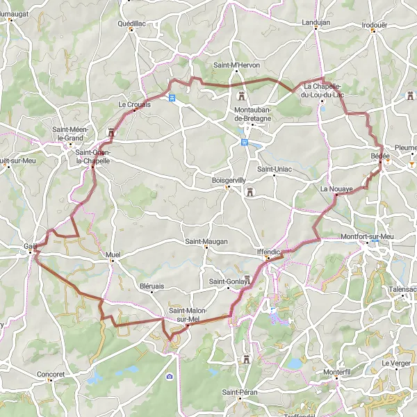
The route starting near Pleumeleuc takes you on an adventure through the stunning landscapes surrounding Iffendic. As you cycle along the gravel paths, you'll pass by charming towns like Saint-Malon-sur-Mel and Saint-Onen-la-Chapelle. The ascent of 425m adds a challenge to the ride, but the beautiful scenery makes it all worth it. This route is perfect for experienced cyclists looking for a gravel adventure in Bretagne.

Embark on a demanding journey through breathtaking landscapes
This challenging road route spans 101 km and includes a significant ascent of 636 m. It is suitable for experienced cyclists seeking a physically demanding and rewarding ride through diverse landscapes. Highlights of this route include Landujan and Vignoc, both showcasing their natural beauty and cultural attractions.
Indulge in the beauty of diverse landscapes on this road cycling route
Covering a distance of 66 km and with an ascent of 385 m, this road cycling route takes you through varied countryside and charming villages. Le Lou-du-Lac and Trévérien are among the highlights of this route, both offering scenic vistas and cultural attractions.
Enjoy the beauty of the countryside on this road cycling route
This road cycling route covers 66 km and includes an ascent of 410 m. It is suitable for experienced cyclists looking for a challenging ride through scenic landscapes. Along the way, you'll pass through Iffendic and Montauban-de-Bretagne, both known for their natural beauty and historic charm.
Cycling routes nearby:


Nearby regions: