A coastal town with access to challenging climbs and scenic coastal routes.
Cycling routes from Taule
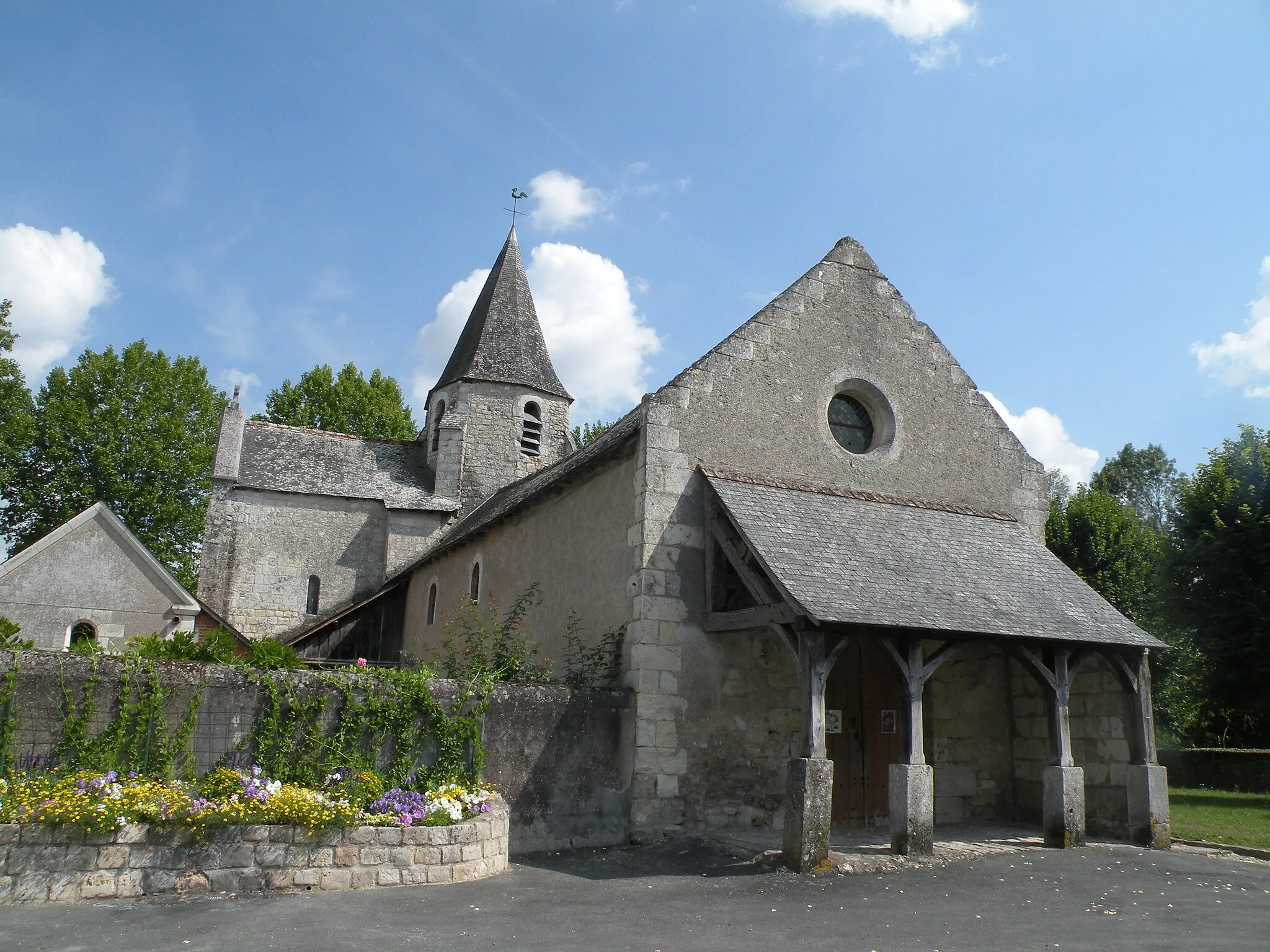
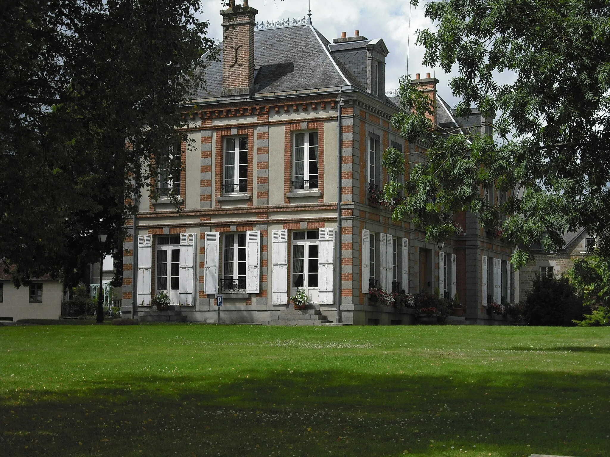
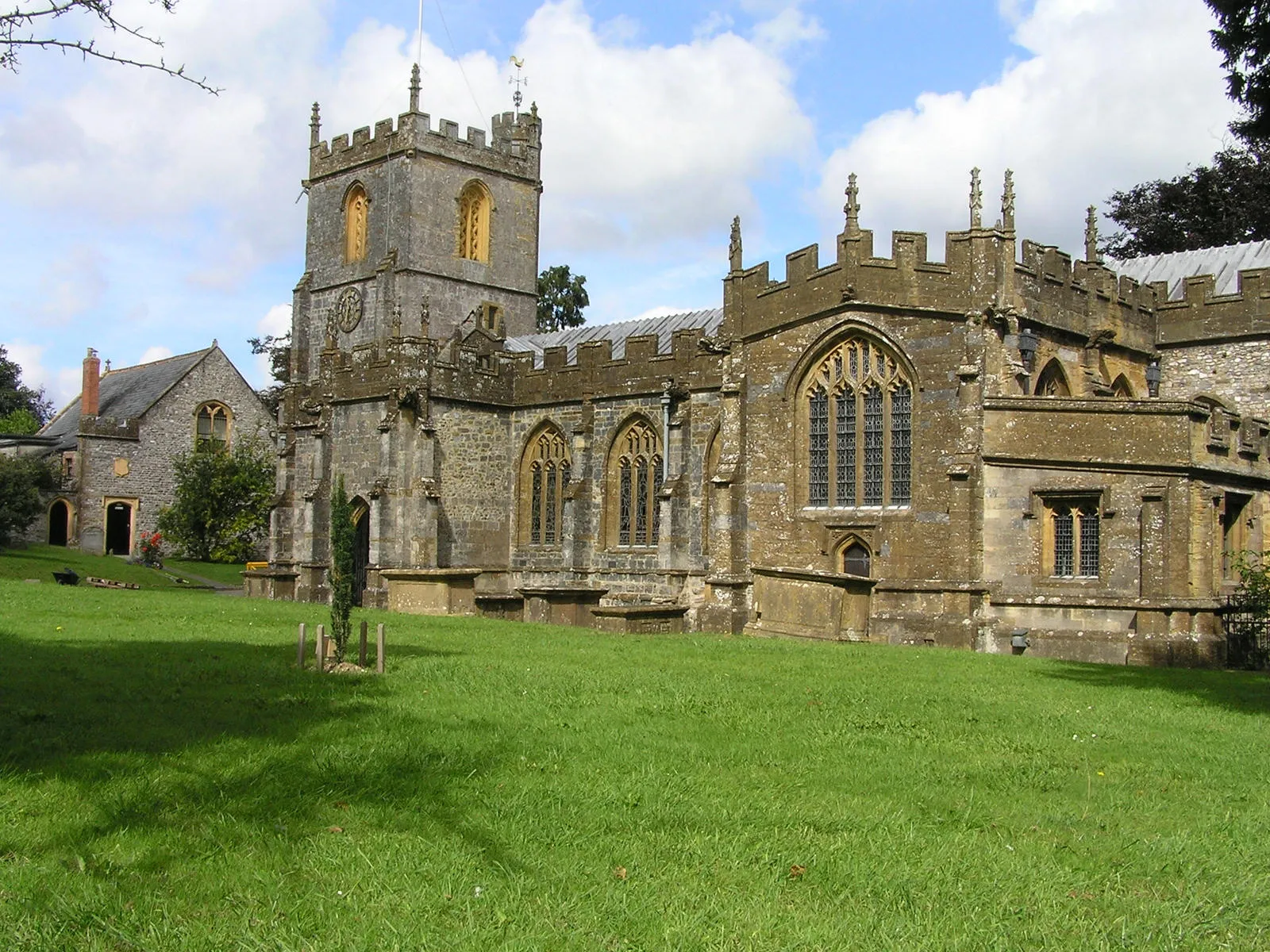
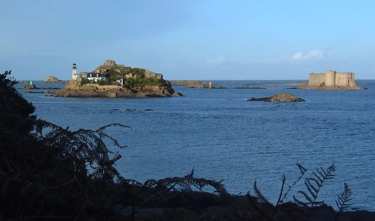
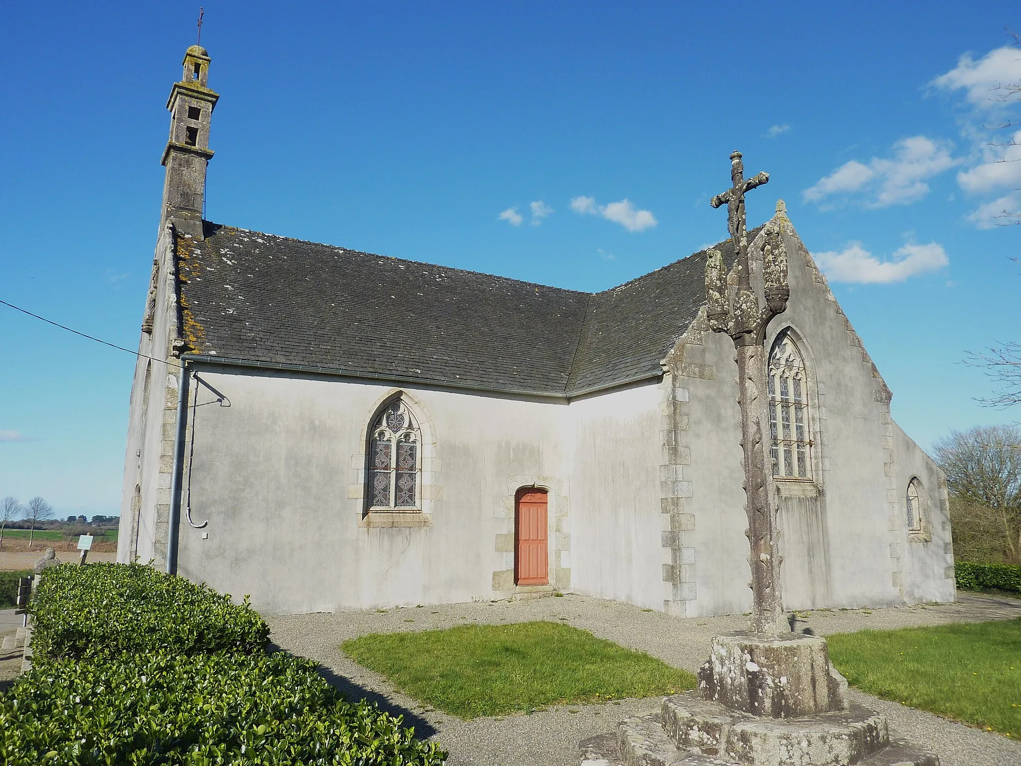
Taulé is a small town located in the Bretagne region of France. From a cyclist's perspective, Taulé offers a mix of road and gravel cycling experiences. The town is situated near the coast, providing scenic views of the Atlantic Ocean and access to coastal cycling routes. The nearby Monts d'Arrée offer challenging climbs and scenic routes for cyclists looking for a more demanding ride. Taulé itself has some local cycling routes that take you through charming countryside and picturesque villages. Overall, Taulé offers a diverse cycling experience with its coastal views and challenging routes. The locality has a rank of 4 for cyclist perspective.
The Morlaix Countryside
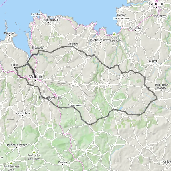
Experience the stunning countryside surrounding Morlaix and discover hidden gems along the way.
The Morlaix Countryside route is a picturesque journey that showcases the best of the Bretagne region. With a total ascent of 1040 meters and a distance of 98 kilometers, this road cycling route offers a perfect mix of challenging climbs, breathtaking descents, and hidden treasures. Highlights along the route include Morlaix, a beautiful town with a rich history. Explore the narrow streets, visit the viaduct, and discover the famous maison à pondalez, a unique historic house that is a must-see. Other highlights include Plouégat-Guérand, a quaint village known for its quaint charm and beautiful architecture, and Guerlesquin, a historic village famous for its castle and cobblestone streets. Overall, the Morlaix Countryside route delivers a truly immersive and unforgettable cycling experience in the heart of Bretagne's stunning countryside. From historic towns to breathtaking landscapes, this route offers something for every cyclist.
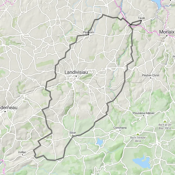
From Taulé to Saint-Thégonnec and onwards to Ploudiry
Embark on a cycling adventure from Taulé to Saint-Thégonnec and Ploudiry. This 92 km route includes an ascent of 916 meters, making it suitable for experienced cyclists. Highlights along the way include Taulé, a charming Breton village; Saint-Thégonnec, known for its impressive parish close; Loc-Eguiner-Saint-Thégonnec, where you can explore its beautiful natural surroundings; Sizun, a picturesque village with traditional architecture; Ploudiry, famous for its beautiful landscapes; Plouvorn, known for its ancient churches; and Lopreden, a historic hamlet with traditional Breton houses.
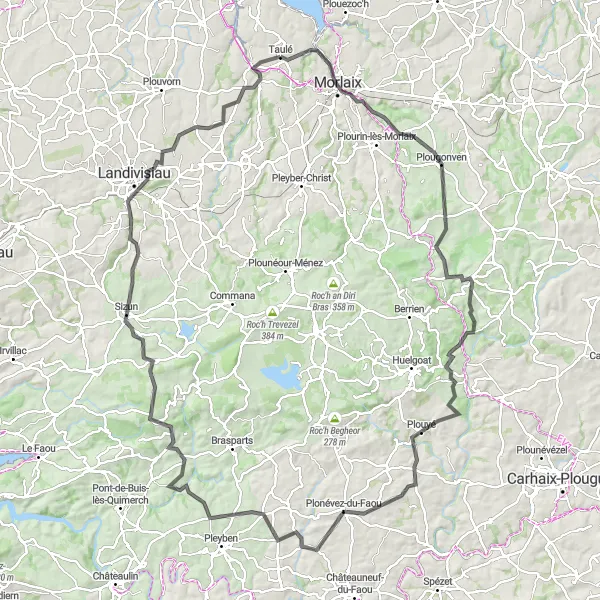
Discover the beauty of Morlaix and Sizun along this route
Embark on a cycling adventure from Morlaix to Sizun, covering a total distance of 137 km with an ascent of 1845 meters. This challenging route is recommended for experienced cyclists. Highlights along the way include Morlaix, a historic town with rich architectural heritage; Plougonven, known for its charming rural landscapes; Scrignac, a quaint village in the heart of Brittany; Locmaria-Berrien, offering picturesque countryside views; Plonévez-du-Faou, a village known for its natural beauty; Karn an Hoed, a Neolithic burial site with stunning views; Sizun, a scenic village with traditional Breton houses; and Guiclan, where you can explore ancient churches.
The Coastal Circuit
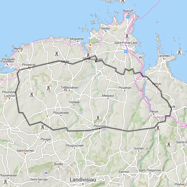
Experience the stunning coastal views along this challenging road cycling route
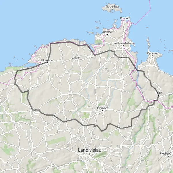
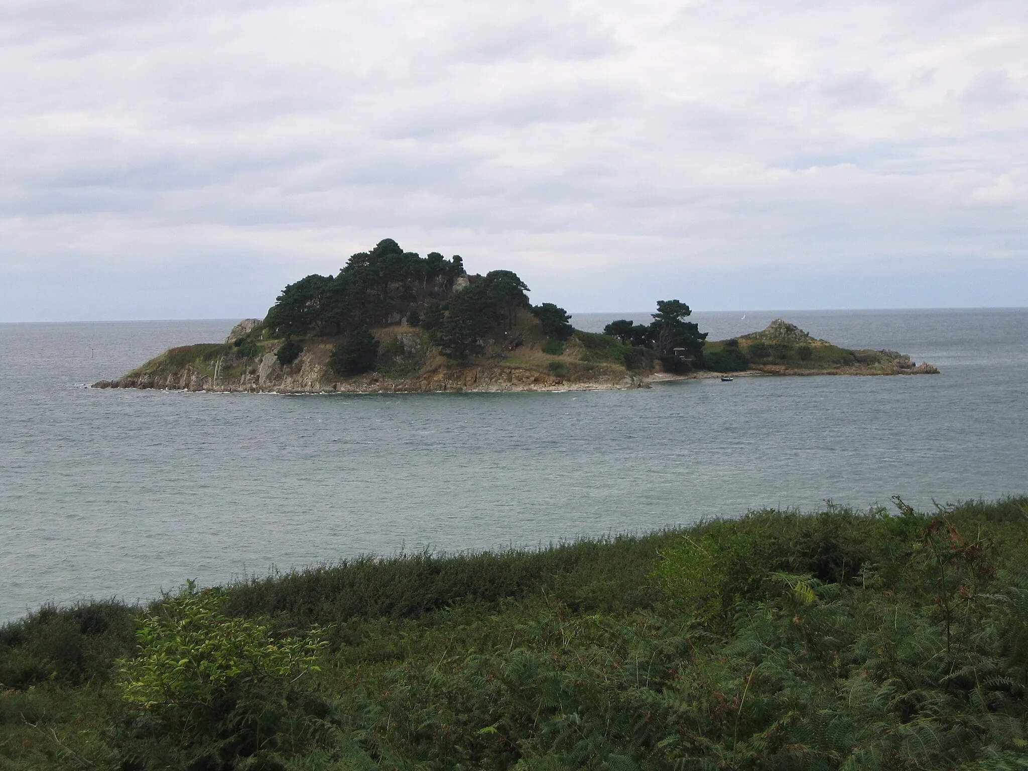
The Coastal Circuit is a challenging road cycling route that stretches for 63 kilometers near Taulé in Bretagne, France. With a total ascent of 550 meters, this route offers plenty of climbing challenges for well-trained amateurs. The highlight of this route is Plouvorn, located at a distance of 12 kilometers from the starting point. Plouvorn is known for its beautiful landscapes and historic buildings. As you continue along the route, you will pass by Saint-Vougay, a picturesque village that offers a serene atmosphere. Cléder, located 40 kilometers from Taulé, is another highlight worth visiting for its charming coastal scenery. Finally, Henvic, situated at a distance of 59 kilometers, offers a pleasant stopover with its traditional Breton architecture. Overall, the Coastal Circuit is a must-try route for cyclists looking to explore the beauty of the Bretagne region while challenging their physical abilities.
Embark on a challenging ride through rugged terrain and encounter stunning historical landmarks.
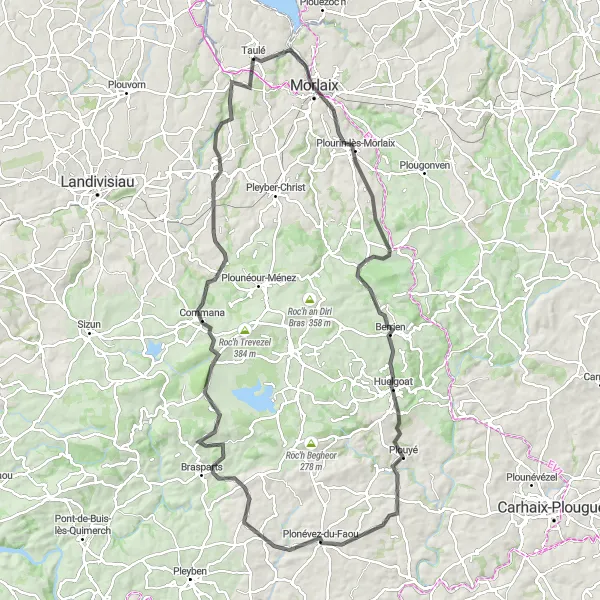
The Faou and Penhoat Experience is a cyclist's dream, offering a thrilling ride through diverse landscapes and a chance to visit some of Bretagne's most iconic historical sites. With a total ascent of 1397 meters and covering 116 kilometers, this road cycling route is a challenging adventure suitable for experienced cyclists. Highlights along this route include Plourin-lès-Morlaix, a picturesque town known for its charming port and beautiful churches. Make sure to explore the winding streets and enjoy the vibrant atmosphere. Other notable highlights include Berrien, known for its breathtaking lake and peaceful countryside, and Plouyé, a village nestled in the heart of the Armorique Regional Natural Park. As you approach Penhoat, be prepared for a truly epic experience. This famous castle overlooks the valley and offers stunning panoramic views. The climb to the castle is challenging but incredibly rewarding, and the historical significance of this location adds an extra layer of excitement. Overall, the Faou and Penhoat Experience is an epic journey that combines stunning natural beauty with historical landmarks, creating a memorable cycling adventure for experienced riders.
Embark on a scenic journey through charming villages and experience the tranquility of rural Bretagne.
The Guiclan Escape is a captivating cycling route that takes you on a scenic tour through the peaceful rural landscapes near Taulé. With a total ascent of 559 meters and a distance of 78 kilometers, this route is perfect for cyclists looking for a relaxed yet picturesque ride. Highlights along the route include Guiclan, a charming village with a rich historical heritage. Explore the ruins of an old castle, take in the tranquil atmosphere, and immerse yourself in the village's long and fascinating history. Other highlights include Lanhouarneau, known for its picturesque houses and stunning countryside, as well as Tréflez, a coastal village with beautiful beaches and panoramic views of the sea. The Guiclan Escape offers a wonderful opportunity to discover the hidden gems of rural Bretagne, from charming villages to breathtaking natural beauty. Whether you're a seasoned cyclist or a beginner looking for a gentle ride, this route has something for everyone.
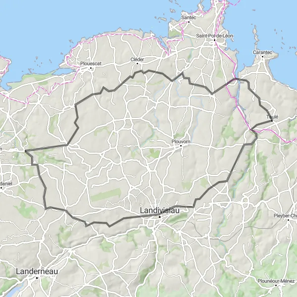
Cycle through Landivisiau and Cléder on this scenic route
Experience the beauty of Landivisiau and Cléder on this 83 km cycling route. With an ascent of 610 meters, this route is suitable for intermediate-level cyclists. Highlights along the way include Guiclan, a charming village with ancient churches; Landivisiau, known for its beautiful town center and historic buildings; Saint-Méen, a small hamlet with picturesque scenery; Cléder, a coastal town with sandy beaches; and Henvic, famous for its calm and peaceful atmosphere.
The Sainte-Sève Adventure

Embark on a thrilling journey through rugged terrains, picturesque villages, and breathtaking natural beauty.
The Sainte-Sève Adventure is a challenging and rewarding cycling route that showcases the diverse landscapes and natural beauty of Bretagne. With a total ascent of 1007 meters and a distance of 87 kilometers, this road biking experience is perfect for cyclists looking for an adrenaline-filled adventure. Highlights along the route include Sainte-Sève, a small village nestled in the countryside known for its tranquility and panoramic views. Take a break and admire the surrounding beauty before continuing your journey. Other notable highlights include Scrignac, a charming village filled with rustic stone houses and beautiful trails, and Bolazec, a picturesque village surrounded by forests and rolling hills. The Sainte-Sève Adventure offers a combination of challenging climbs, stunning landscapes, and fascinating cultural stops, making it a must-ride for adventurous cyclists seeking an unforgettable experience.

Experience the beauty of Loc-Eguiner-Saint-Thégonnec and Plouvorn
Take a scenic cycling tour through Loc-Eguiner-Saint-Thégonnec and Plouvorn. This route covers a distance of 56 km and has an ascent of 572 meters, making it suitable for intermediate-level cyclists. Highlights along the way include Sainte-Sève, a charming village with traditional Breton architecture; Loc-Eguiner-Saint-Thégonnec, known for its picturesque landscapes; Plouvorn, a commune with beautiful countryside scenery; and Taulé, where you can enjoy the tranquility of nature.
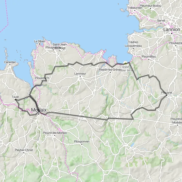
Cycle through the scenic countryside and discover charming villages in this challenging road cycling route
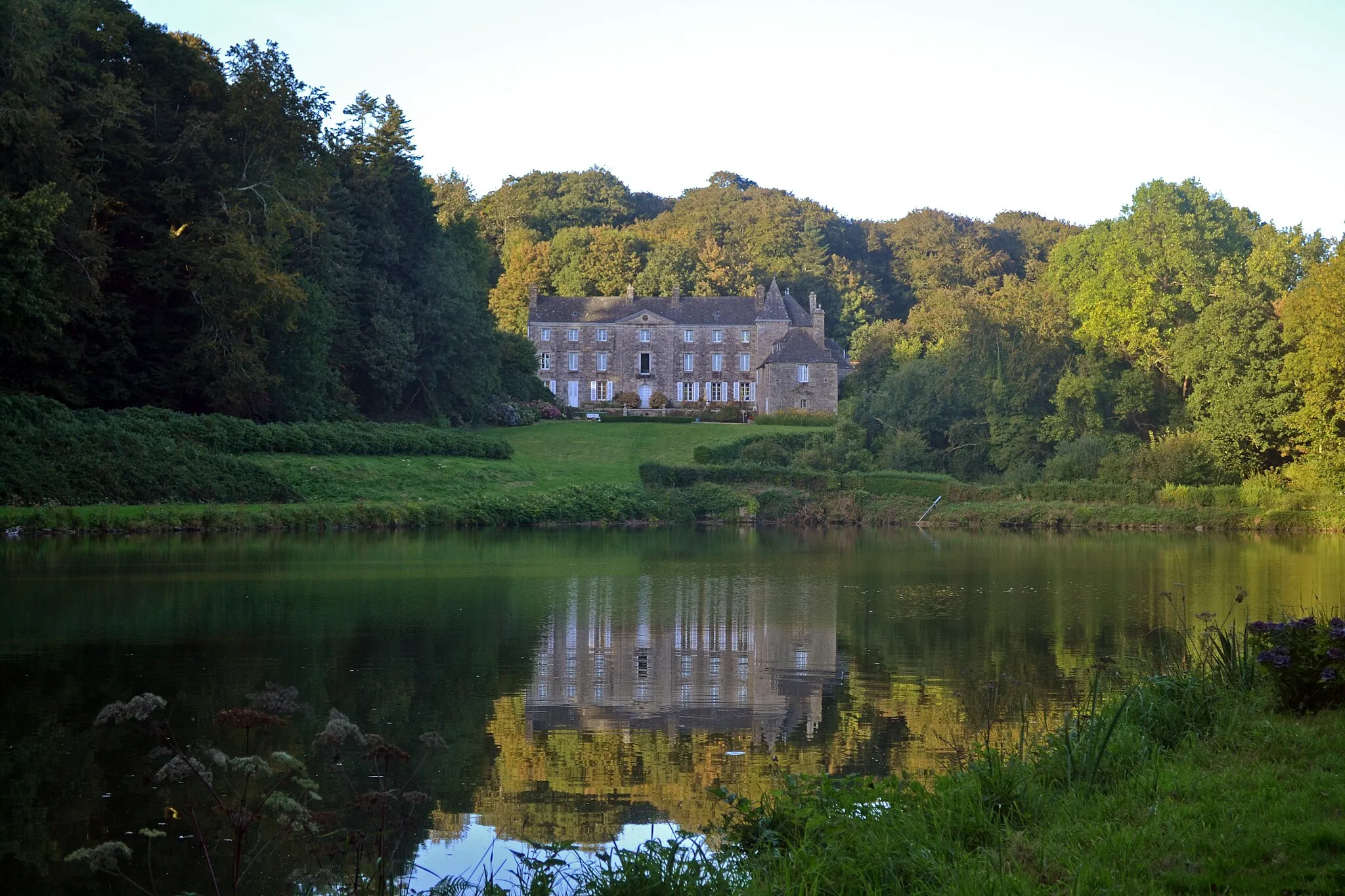
The Countryside Loop is a challenging road cycling route spanning 94 kilometers near Taulé in Bretagne, France. With a total ascent of 938 meters, this route is perfect for well-trained amateurs seeking a mix of challenging climbs and picturesque landscapes. The highlight of this route is Locquénolé, situated 14 kilometers from Taulé. Locquénolé is known for its beautiful manor houses and scenic views of the Bay of Morlaix. As you continue cycling, you will reach Plestin-les-Grèves, a charming coastal town with stunning sandy beaches. Plouaret, located at a distance of 55 kilometers, features a historic train station that is worth exploring. Plouigneau, situated 76 kilometers away, is known for its traditional stone houses. Finally, Morlaix, at a distance of 87 kilometers, offers a vibrant market square and picturesque harbor. Overall, the Countryside Loop provides cyclists with an opportunity to discover the beauty of the Bretagne region, from countryside villages to coastal towns.
Cycling routes nearby:


Nearby regions: