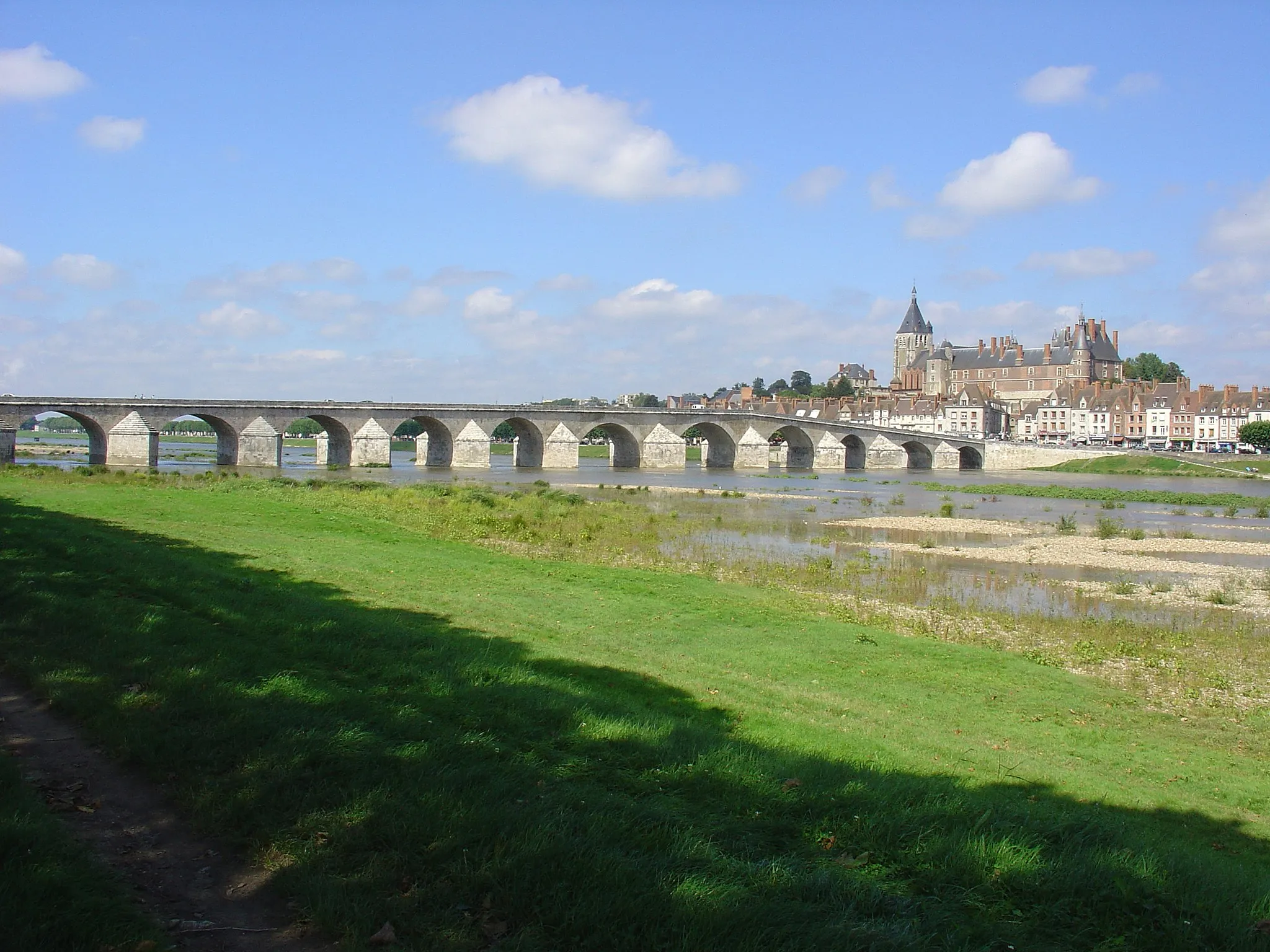
Cycling Mecca in Centre - Val de Loire
Cycling routes from Chatillon-Coligny
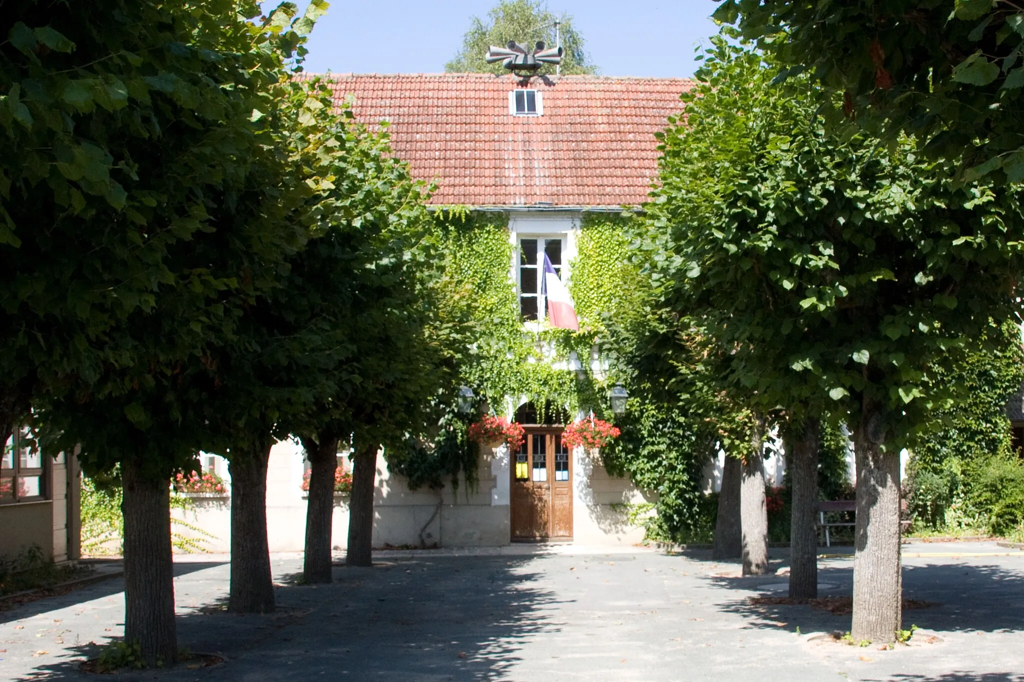
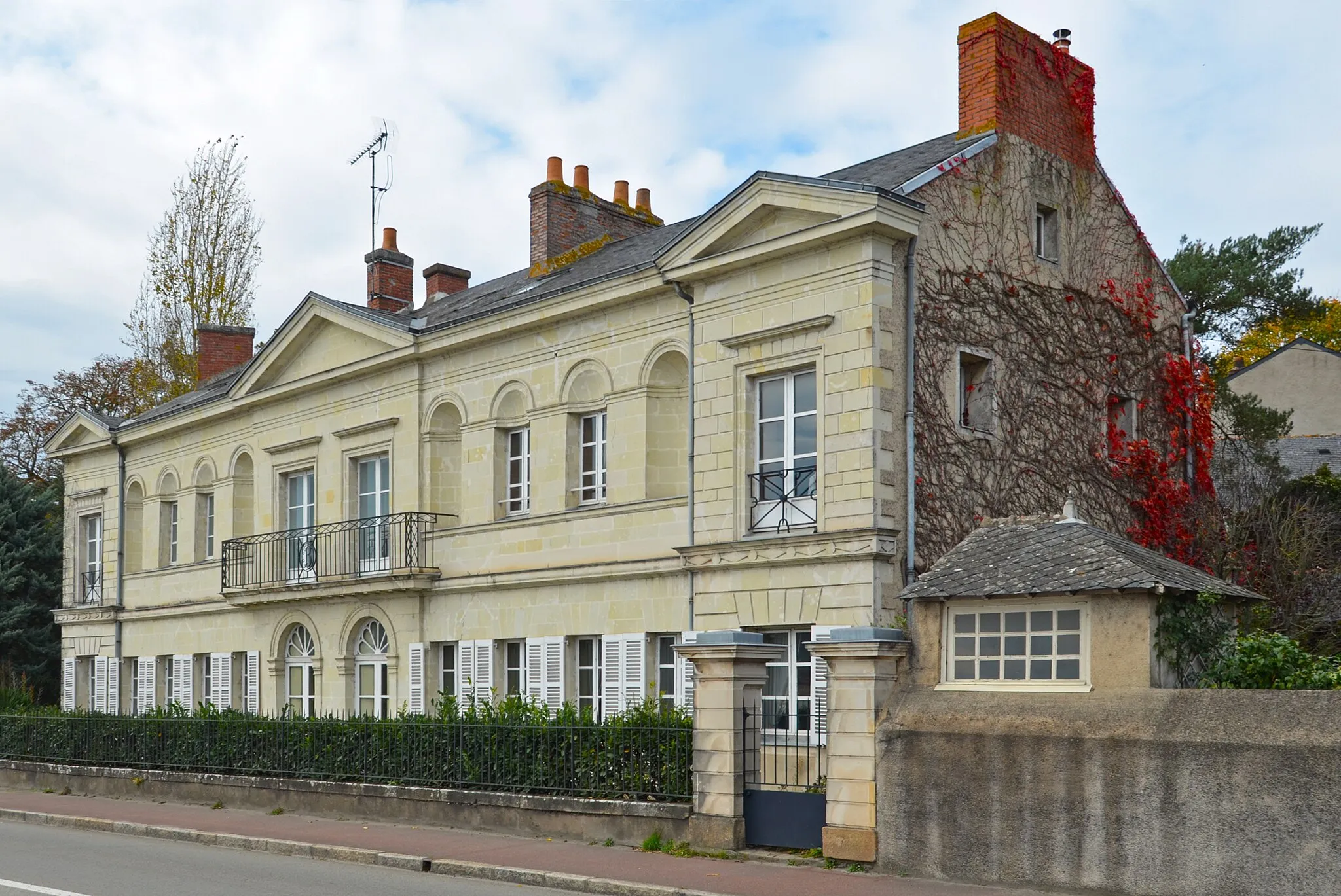
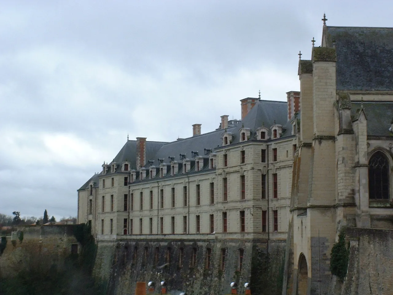
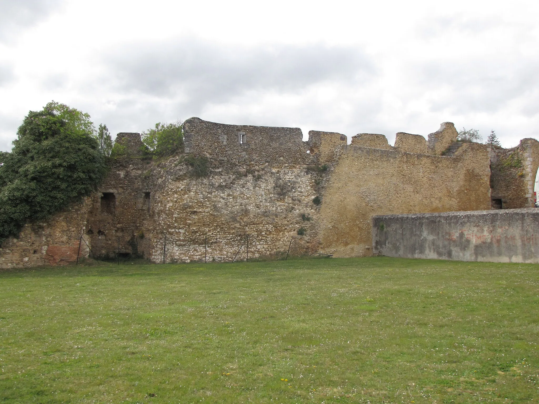
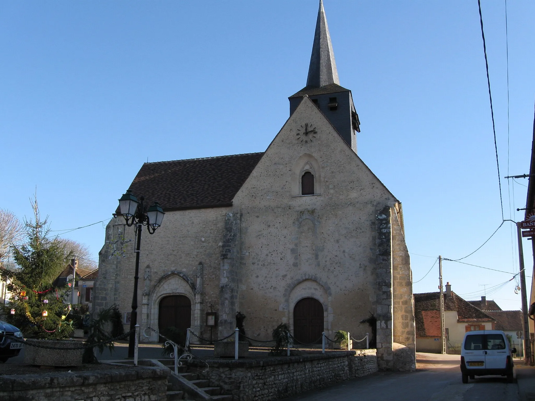
Châtillon-Coligny is a locality located in the Centre - Val de Loire region of France. As a road and gravel cyclist, you'll be delighted by the rolling hills and picturesque countryside roads that surround this charming town. Châtillon-Coligny is famous for its challenging climbs, including the Côte de Champigny, which attracts professional cyclists from around the world. This locality is a true paradise for cycling enthusiasts, offering breathtaking scenery and epic routes to explore.
Discover the historic charm and natural beauty of Boismorand and its surroundings.
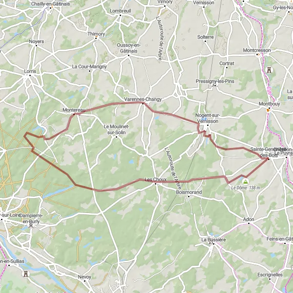
The Boismorand Loop takes you on a journey through the captivating landscapes and historic sites near Châtillon-Coligny. With a distance of 43 kilometers and an ascent of 202 meters, this road cycling route offers a perfect blend of natural beauty and cultural exploration.
Embark on an epic cycling journey through the scenic Puisaye region
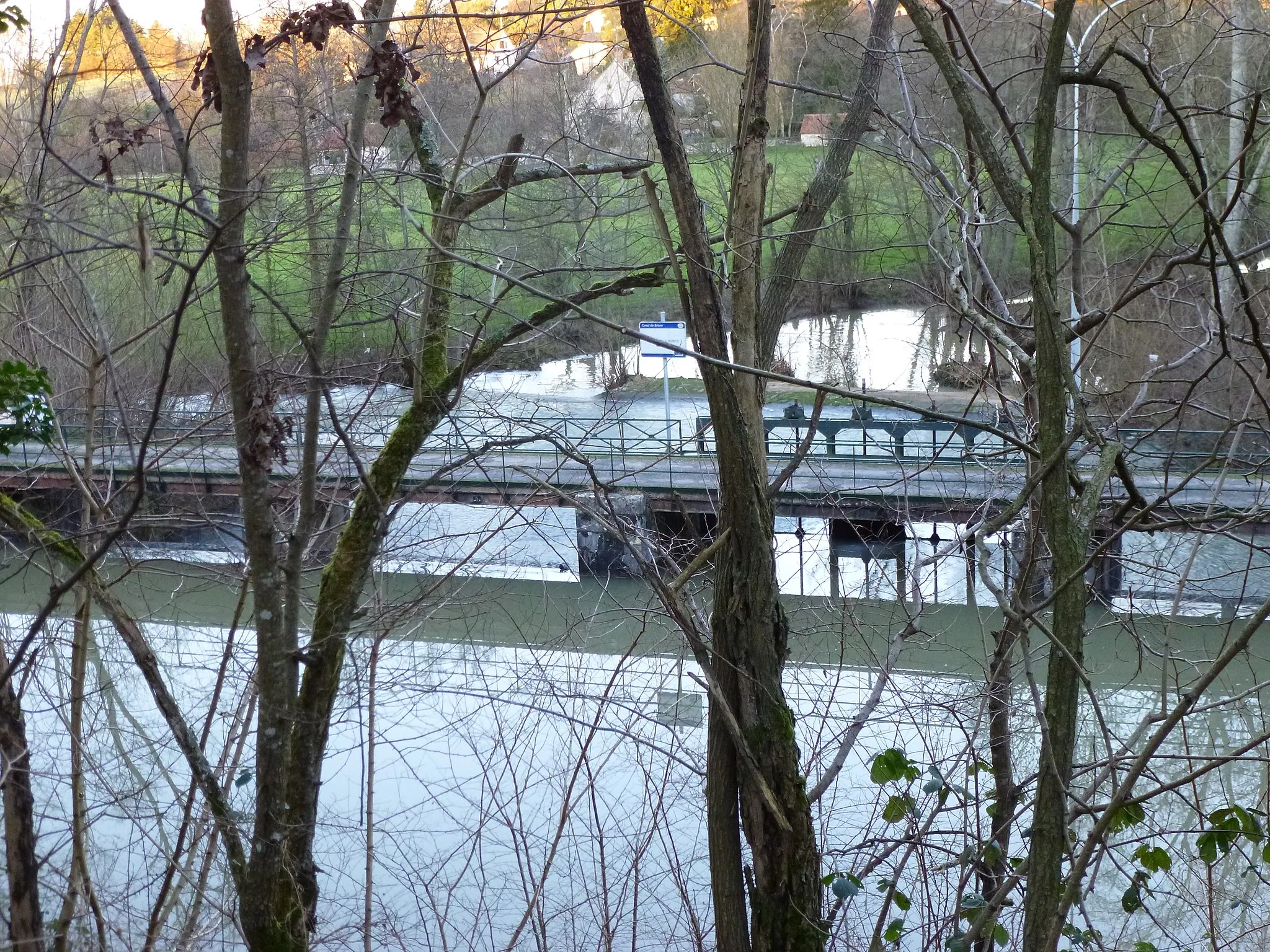
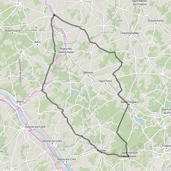
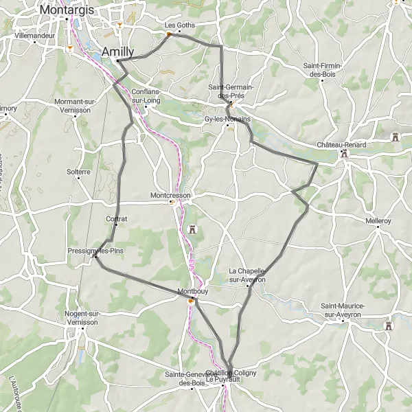
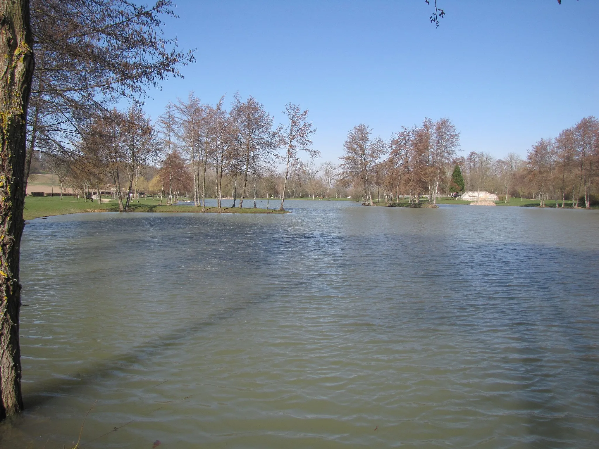
The Puisaye Adventure is a challenging road cycling route that spans 95 km and features an ascent of 433 m. This picturesque route takes you through the scenic landscapes of the Puisaye region, showcasing its natural beauty and cultural treasures. Along the way, you'll encounter highlights such as Aillant-sur-Milleron, Château de Saint-Amand-en-Puisaye, Dammarie-en-Puisaye, Ouzouer-sur-Trézée, Feins-en-Gâtinais, and Le Puyrault.

Discover the rugged beauty of the Châtillon-Coligny countryside on this epic gravel adventure.
Embark on a thrilling gravel adventure through the picturesque countryside near Châtillon-Coligny in the Centre — Val de Loire region. Experience the rugged beauty of the area as you pedal through charming villages, rolling hills, and breathtaking panoramas. With a moderate difficulty level and a touch of epicness, this route offers a perfect balance of challenge and awe-inspiring scenery. Don't miss the opportunity to explore highlights along the way, such as the quaint village of La Chapelle-sur-Aveyron, the stunning panoramic views from the Château, and the charming village of Prunoy.
Embark on an epic gravel adventure through diverse landscapes to the charming town of Nogent-sur-Vernisson.
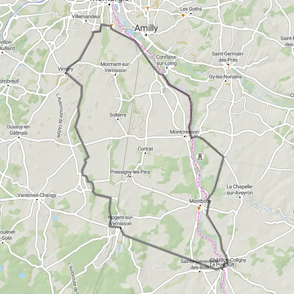
The Gravel Adventure to Nogent-sur-Vernisson offers a thrilling cycling experience for gravel enthusiasts near Châtillon-Coligny. Covering a distance of 56 kilometers with an ascent of 226 meters, this route takes you through diverse landscapes and leads to the charming town of Nogent-sur-Vernisson.
Embark on an adventurous journey through rural landscapes and historical sites.
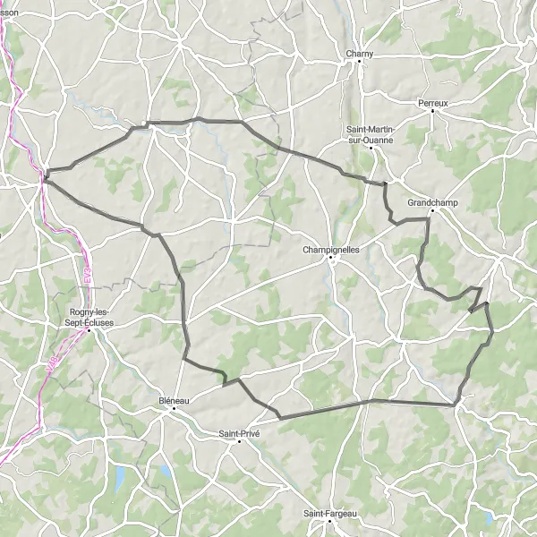
The Champcevrais Adventure route takes you on an unforgettable journey through rural landscapes, historical sites, and charming villages near Châtillon-Coligny. With a distance of 80 kilometers and an ascent of 526 meters, this road cycling route promises an exciting adventure for experienced cyclists.
Châtillon-Coligny Road Explorer
Embark on an enchanting cycling journey through the scenic roads near Châtillon-Coligny.
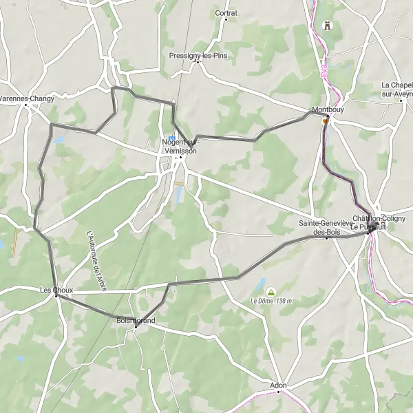
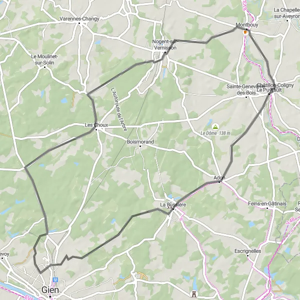
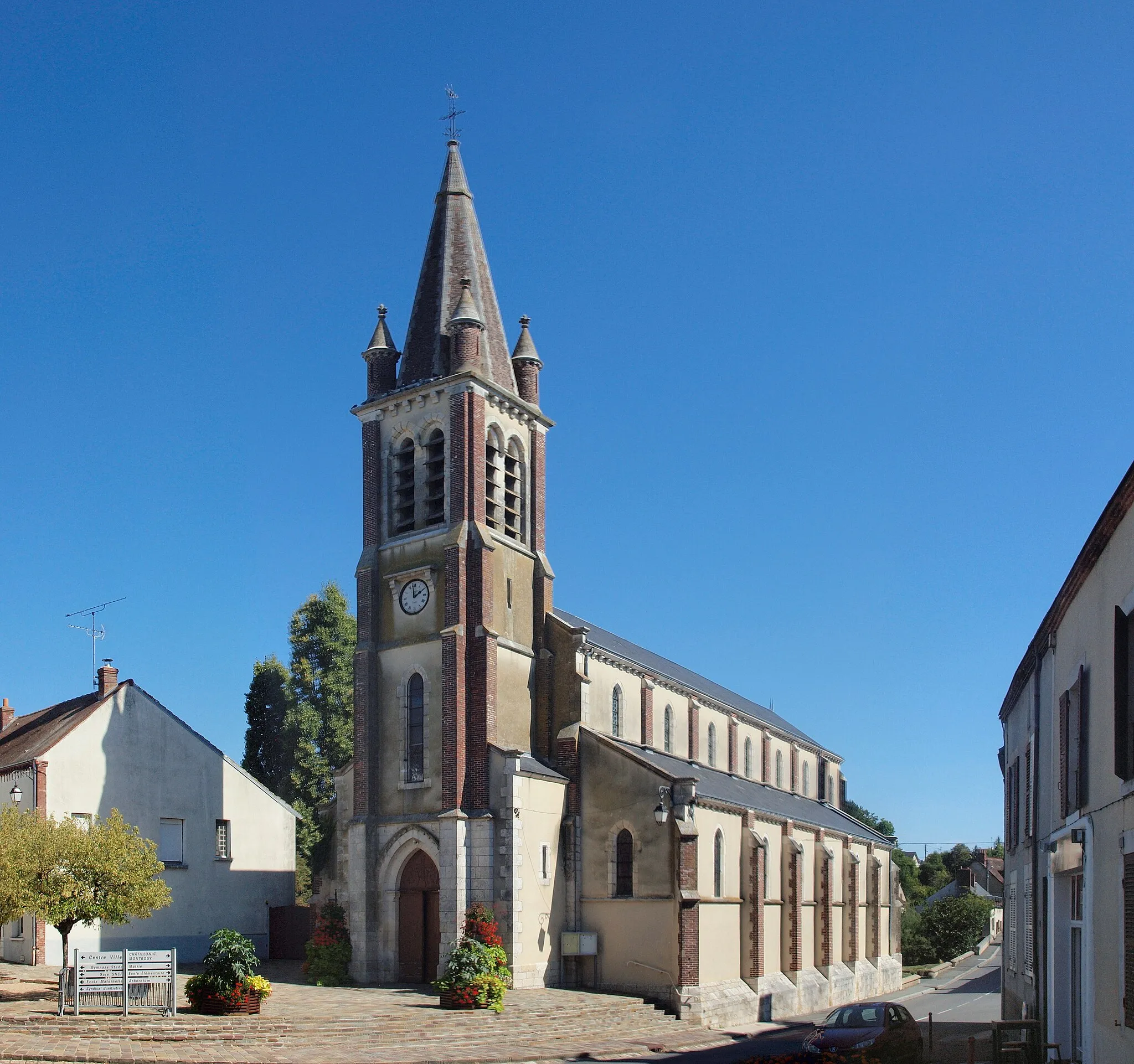
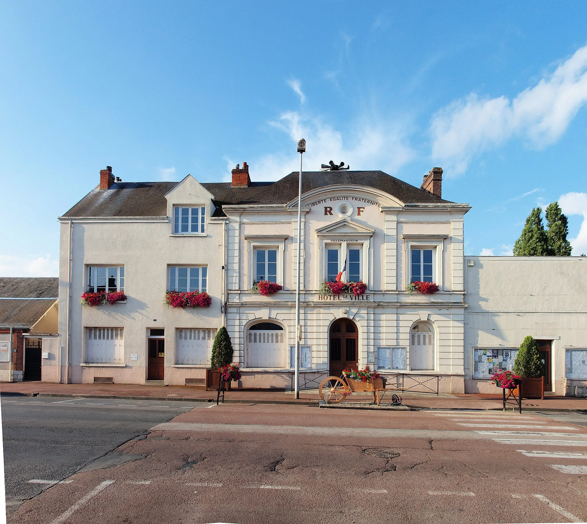
Experience the beauty of the Centre — Val de Loire region as you pedaling along the idyllic roads surrounding Châtillon-Coligny. This road cycling route offers a moderate difficulty level, making it suitable for well-trained amateurs. Immerse yourself in the peaceful countryside ambience and admire the charming villages and lush landscapes that you'll encounter along the way. Don't miss the chance to explore highlights like the village of Adon, with its traditional architecture and rich history, and the Les Choux, a scenic area renowned for its vast fields of cabbage. Take in the stunning views from Montbouy and complete your journey back to Châtillon-Coligny, where you can relax and soak up the atmosphere of this charming town.
Explore the picturesque countryside with charming villages and rolling hills.
This round-trip cycling route takes you through the beautiful countryside near Châtillon-Coligny, showcasing charming villages, stunning landscapes, and rolling hills. The route covers a distance of 53 kilometers and has an ascent of 230 meters, making it suitable for well-trained amateur cyclists.
Marchais-Beton Escape

Experience the tranquility of nature as you cycle through forests and meadows.
The Marchais-Beton Escape route is perfect for nature lovers seeking a serene and scenic cycling experience near Châtillon-Coligny. Stretching over 47 kilometers with an ascent of 272 meters, this road cycling route takes you through picturesque forests and meadows.
The Puiseaux Circuit
Discover the beauty of Puiseaux and its enchanting surroundings
Embark on the Puiseaux Circuit and immerse yourself in the beauty of the Puiseaux region in Centre-Val de Loire. This road cycling route covers a distance of 52 km and includes an ascent of 196 m, providing a moderate challenge for cyclists. Along the way, you'll encounter highlights such as Nogent-sur-Vernisson, Saint-Hilaire-sur-Puiseaux, Vimory, Montcresson, and Châtillon-Coligny.
The Betz Circuit

Embark on a challenging cycling journey through the Betz Valley
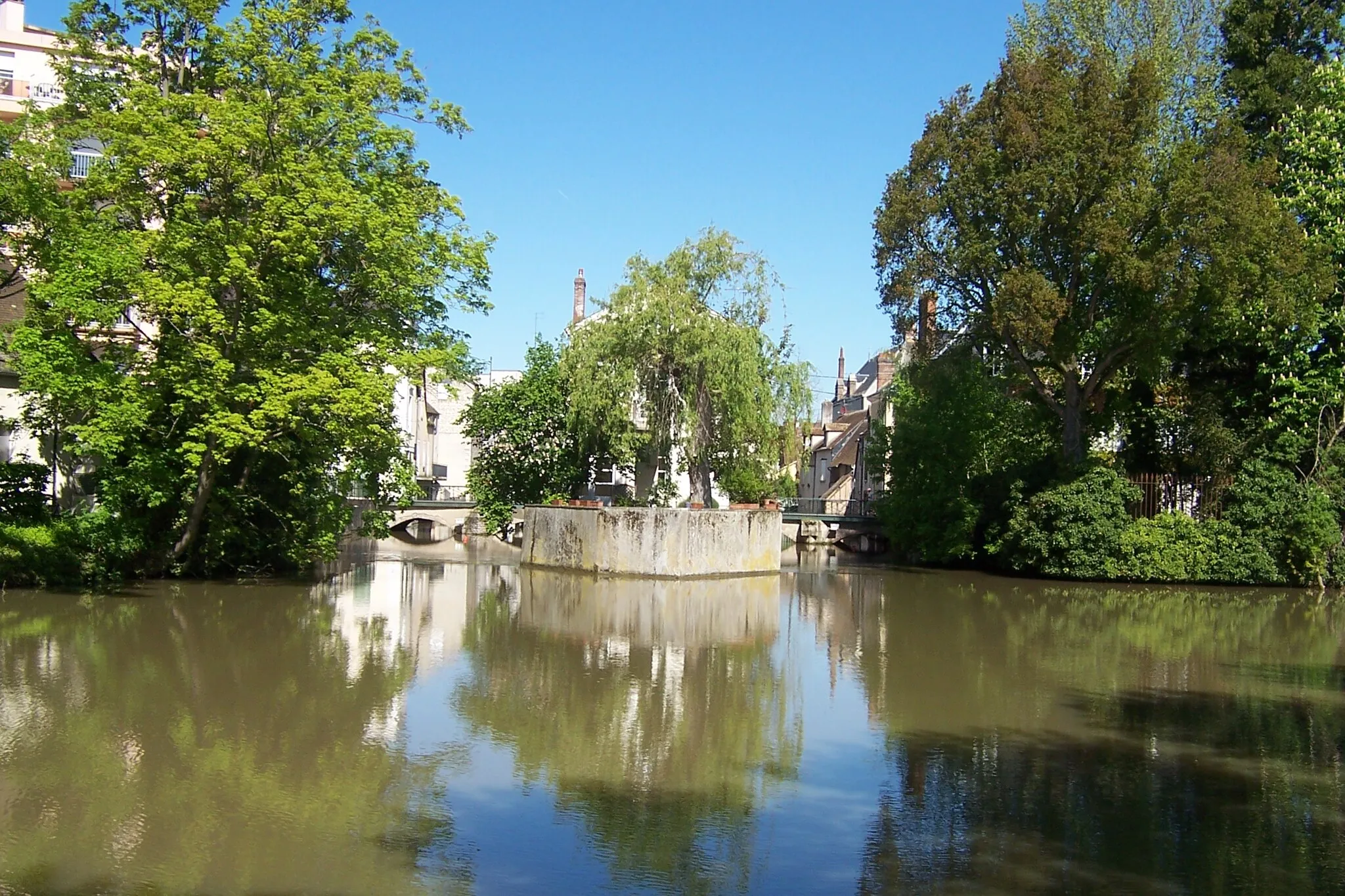
The Betz Circuit is a challenging road cycling route that spans 122 km and features a demanding ascent of 499 m. This scenic route takes you through the beautiful landscapes of the Betz Valley, offering breathtaking views and a thrilling cycling experience. Along the way, you'll encounter highlights such as Montbouy, Montargis, Bransles, Bazoches-sur-le-Betz, La Mardelle Au Coq, Montcorbon, Chambeugle, and Châtillon-Coligny.
Cycling routes nearby:


Nearby regions: