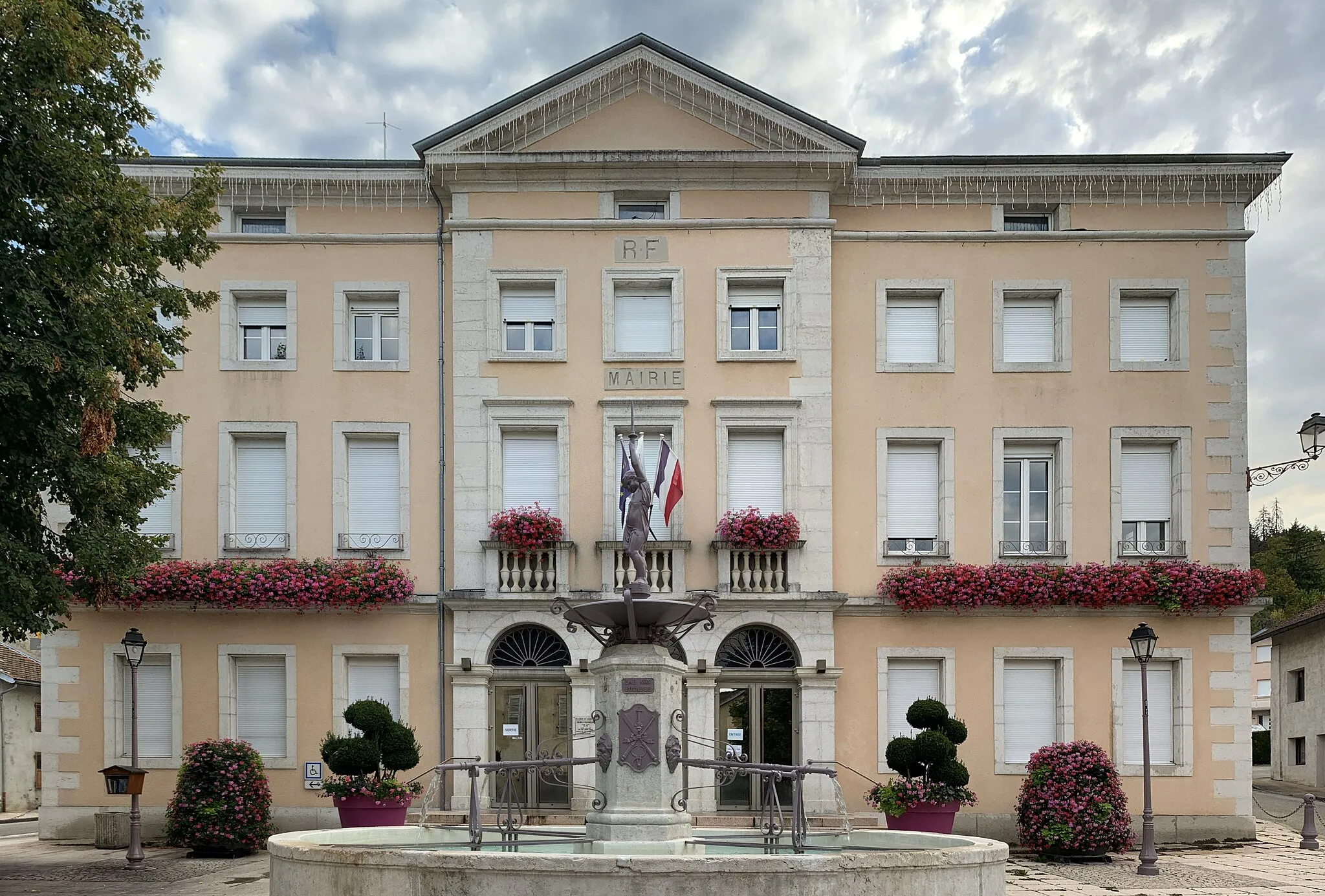
Lavans-lès-Saint-Claude: Cycling Paradise in Franche-Comté, France
Cycling routes from Lavans-les-Saint-Claude
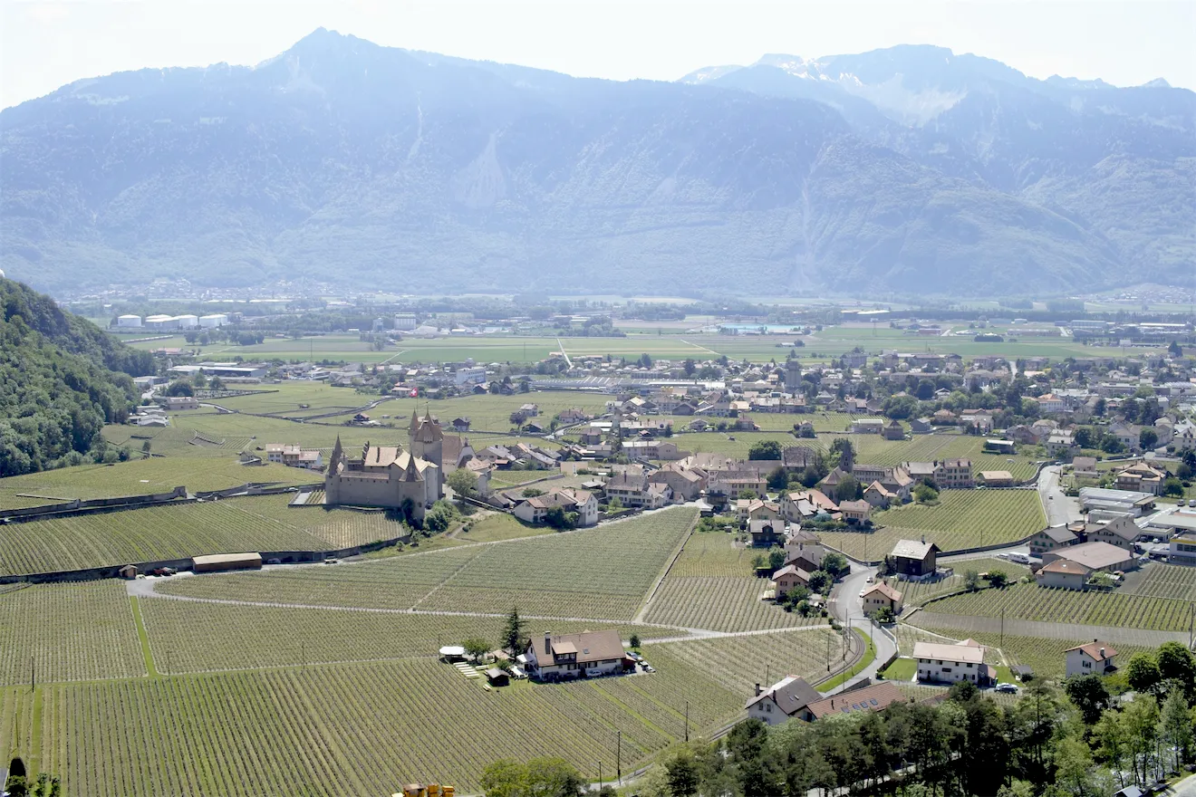
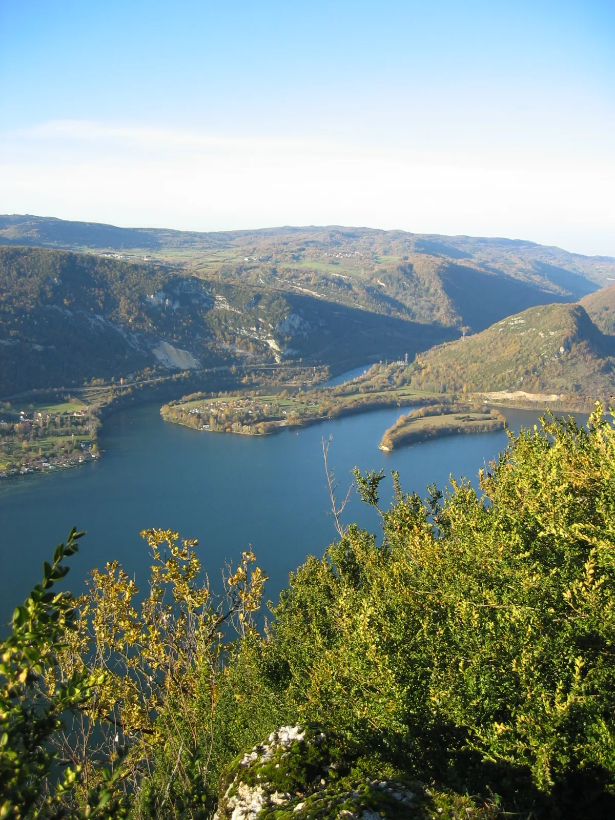
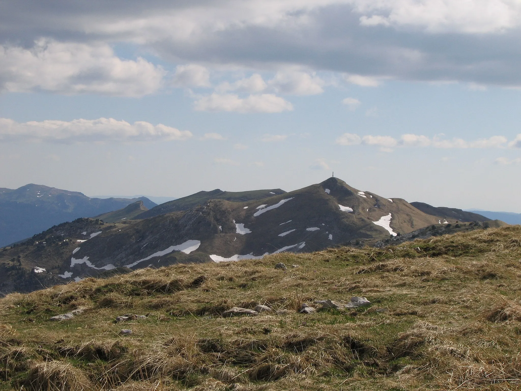
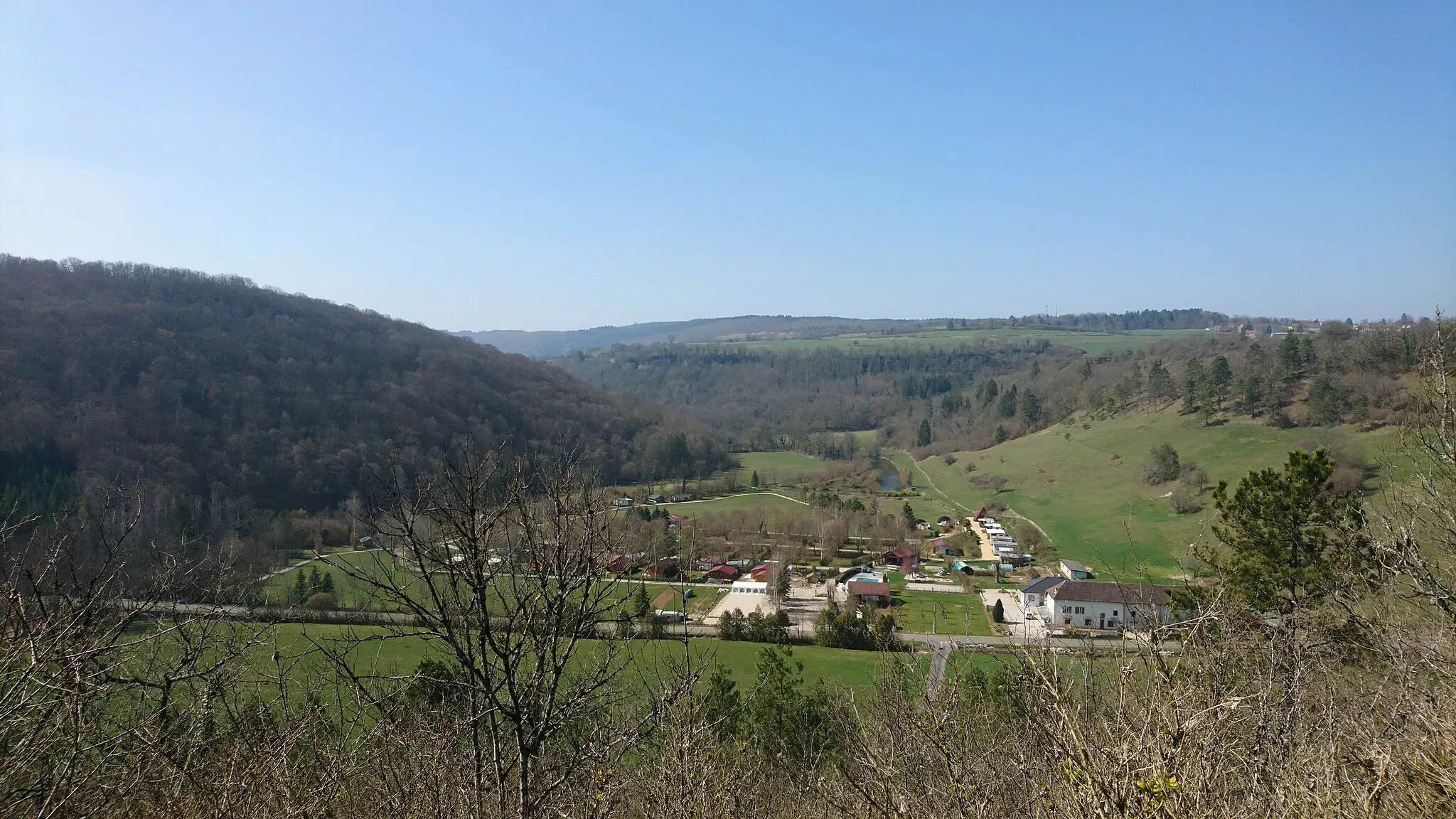
Lavans-lès-Saint-Claude, located in Franche-Comté, France, is a fantastic destination for road and gravel cyclists. With its well-maintained roads and diverse terrain, the locality offers thrilling cycling routes suitable for enthusiasts of all levels. Cyclists can enjoy the challenge of picturesque climbs like Grand Colombier nearby. Lavans-lès-Saint-Claude provides stunning scenic views and a peaceful atmosphere, making it a delightful place for cyclists to explore.
Discover the natural wonders and historical sites near Lavans-lès-Saint-Claude
Cover a distance of 103 kilometers with an elevation gain of 1,950 meters on this gravel cycling route near Lavans-lès-Saint-Claude. Suitable for gravel bikes, this route takes you through breathtaking landscapes and offers the opportunity to visit historical sites and enjoy magnificent views. Prepare yourself for challenging climbs and thrilling descents.

Embark on a thrilling road cycling adventure near Lavans-lès-Saint-Claude
Experience the thrill of road cycling on this 61-kilometer route with an elevation gain of 1,600 meters near Lavans-lès-Saint-Claude. Suitable for road bikes, this route offers a challenging but rewarding experience for well-trained amateurs. Enjoy breathtaking views, pass through scenic villages, and conquer demanding climbs.

A scenic gravel cycling route near Lavans-lès-Saint-Claude
This cycling route near Lavans-lès-Saint-Claude offers a scenic and challenging experience for gravel riders. With a total distance of 69 kilometers and an elevation gain of 1,291 meters, this route is suitable for well-trained amateur cyclists. The route takes you through stunning landscapes and beautiful villages, making it a great option for both nature lovers and cycling enthusiasts.

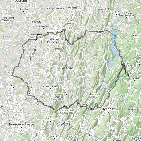
Embark on a gravel adventure through stunning landscapes near Lavans-lès-Saint-Claude
This gravel cycling route covers a distance of 92 kilometers and includes an elevation gain of 2,086 meters. Explore the natural beauty and charming villages near Lavans-lès-Saint-Claude on this thrilling adventure. Suitable for well-trained amateurs with gravel bikes, this route offers challenging climbs and rewarding descents, along with plenty of opportunities to enjoy the breathtaking views.
Embark on a scenic gravel tour leading towards Lavans-lès-Saint-Claude
Take in the mesmerizing landscapes of Lavans-lès-Saint-Claude and its neighboring areas on this 80-kilometer gravel tour. With a total ascent of 1,317 meters, this route offers a moderate challenge suitable for well-trained amateur cyclists. Begin your journey and enjoy the picturesque surroundings of Charchilla at the 13-kilometer mark. At 33 kilometers, cycle through the charming village of Boissia and admire its rustic charm. Continue your adventure and discover the hidden gem of Charcier at 40 kilometers. As you approach the halfway point, soak in the tranquil beauty of Étival at 62 kilometers and continue to La Baume at the same distance, known for its natural wonders. Push your limits further and cycle up the slopes of Mont Fanfet at 70 kilometers. Finish your tour by exploring the idyllic village of Saint-Lupicin at 75 kilometers.
Immerse yourself in scenic beauty on this road cycling tour near Lavans-lès-Saint-Claude
Cover a distance of 34 kilometers with an elevation gain of 880 meters on this stunning road cycling route. Suitable for road bikes, this route offers breathtaking views and scenic landscapes near Lavans-lès-Saint-Claude. Enjoy the challenging climbs and rewarding descents as you explore the picturesque villages along the way.
Lavans-lès-Saint-Claude Loop

Explore the beautiful countryside of Franche-Comté on this road cycling route.
This route takes you through picturesque villages and scenic landscapes in Franche-Comté. The challenging ascent offers a rewarding experience for well-trained cyclists.
Discover the charming villages and natural beauty around Lavans-lès-Saint-Claude
This round-trip cycling route takes you through picturesque villages and stunning landscapes near Lavans-lès-Saint-Claude. You'll climb up to 1,204 meters and cover a total distance of 69 kilometers. Suitable for gravel bikes, this route offers a mix of challenging ascents and relaxing descents.
Take on the ultimate cycling challenge through the stunning landscapes of Franche-Comté.
This epic road cycling route offers challenging climbs, sweeping descents, and breathtaking vistas of Franche-Comté. Only suitable for experienced cyclists.
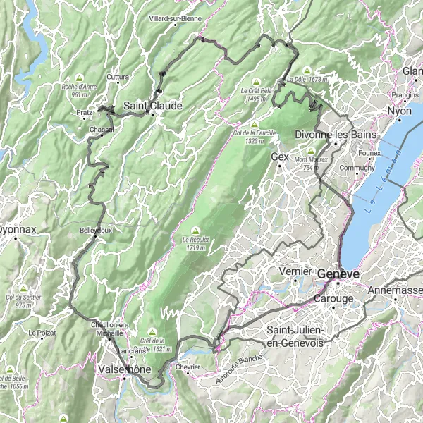
Conquer the epic challenges of this road cycling route near Lavans-lès-Saint-Claude
Embark on the ultimate cycling challenge near Lavans-lès-Saint-Claude with this 174-kilometer road cycling route. With a total ascent of 3,162 meters, this route is perfect for experienced cyclists seeking an epic adventure. Begin your journey in Saint-Claude at the 8-kilometer mark and make your way through stunning landscapes. Along the route, make sure to stop at the iconic Prémanon at 35 kilometers and witness its natural beauty. Continue your journey and embrace the picturesque surroundings of Grilly at 72 kilometers. At the 91-kilometer mark, reach La pointe de la Jonction and soak in the mesmerizing views. Cycling through Onex at the 94-kilometer mark and Chancy at 105 kilometers, delve deeper into the enchanting atmosphere of this route. As you near the end, conquer the legendary climb of Perte de la Valserine at 126 kilometers and visit Châtillon-en-Michaille at 129 kilometers. Lastly, don't miss the chance to explore Belleydoux at 146 kilometers and admire the stunning Statue de la Vierge at 155 kilometers.
Cycling routes nearby:


Nearby regions: