Embark on a peaceful cycling adventure through the picturesque landscapes of Luneray.
Cycling routes from Luneray
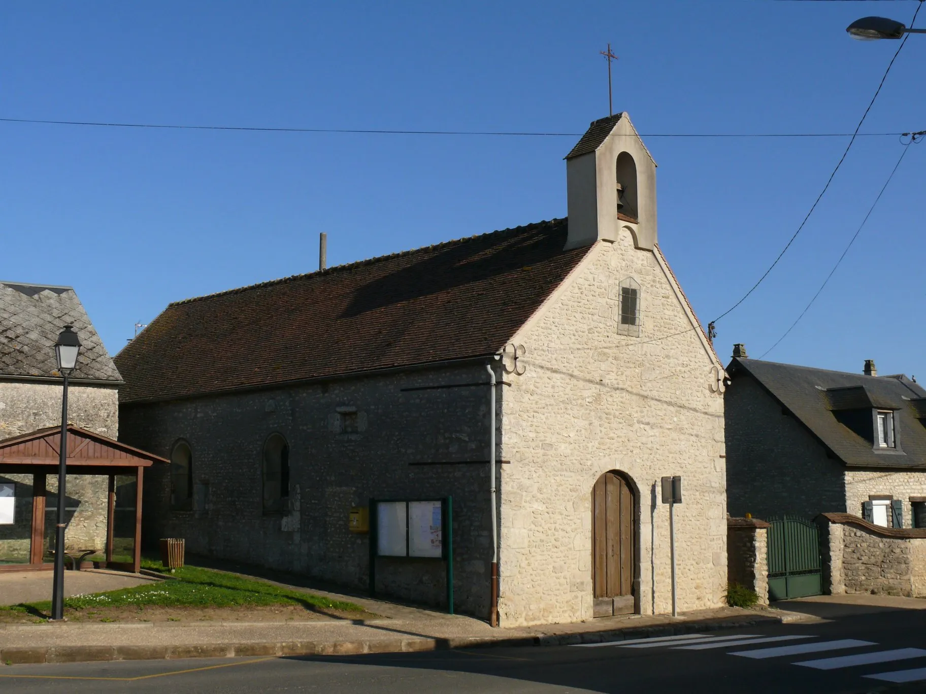
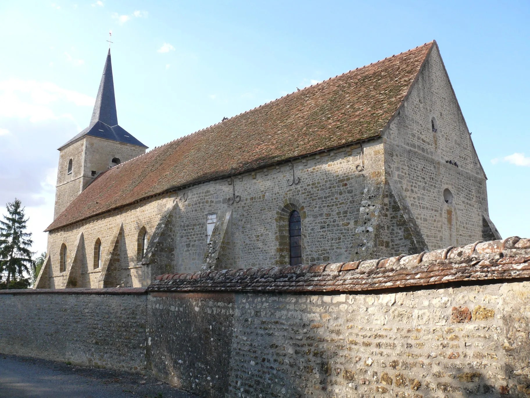
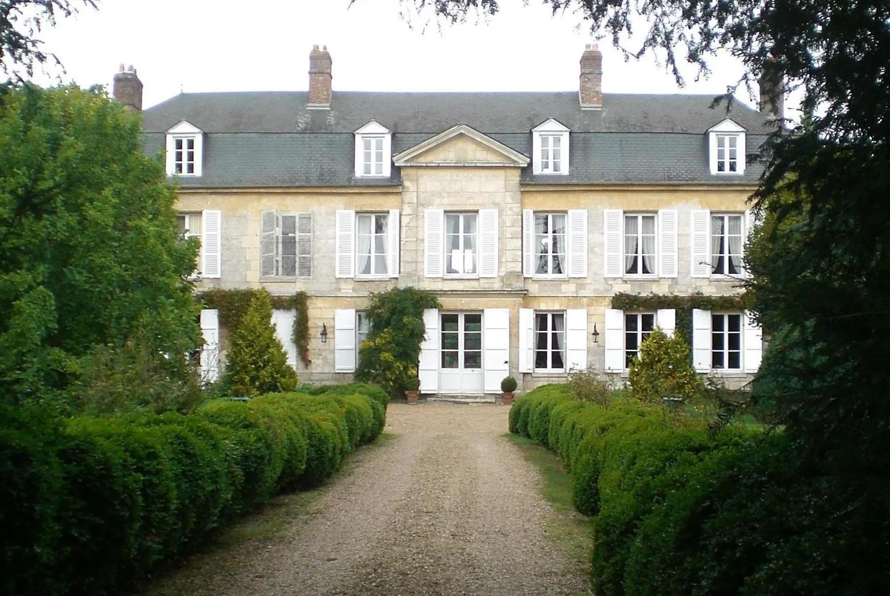
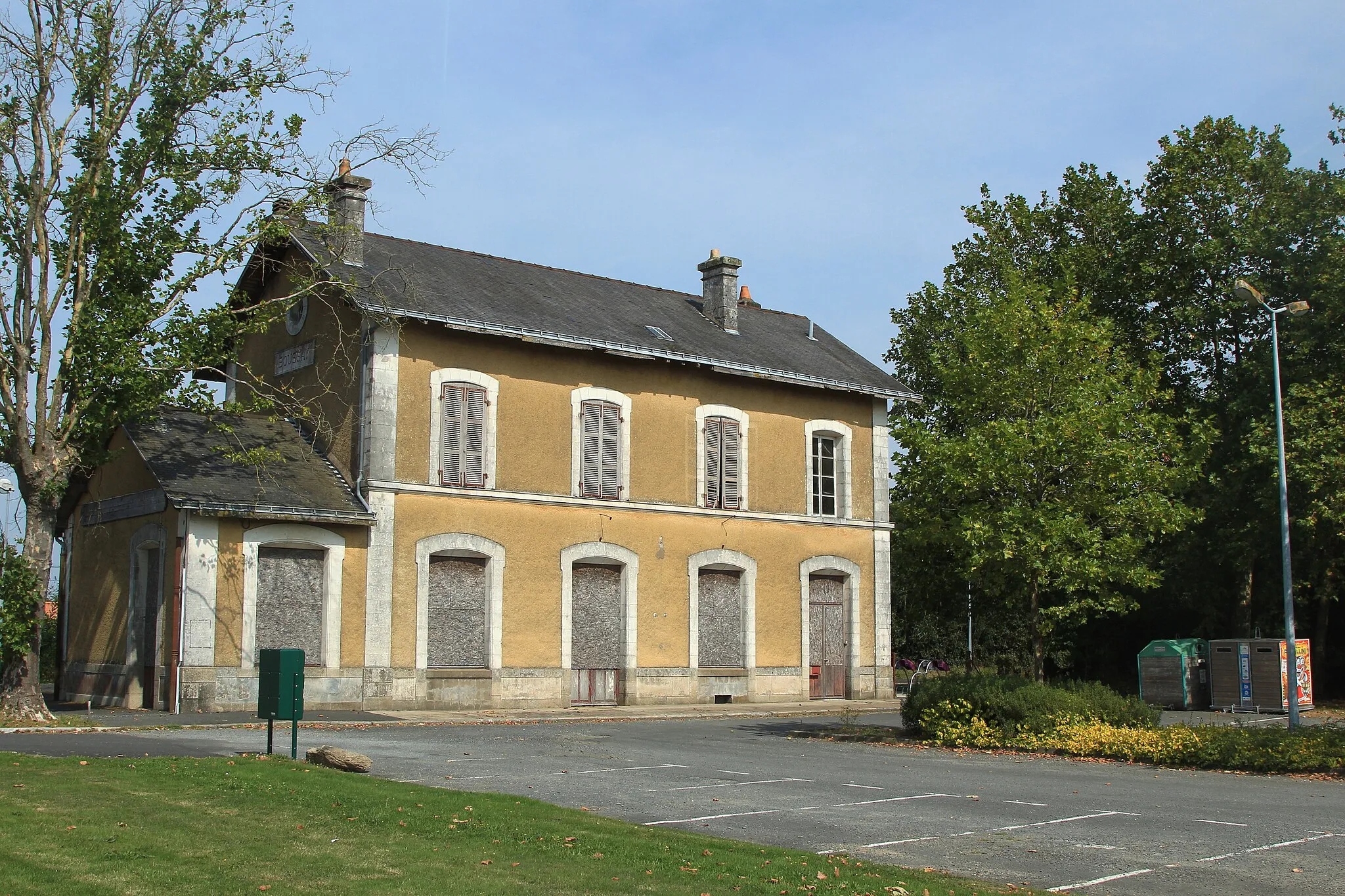
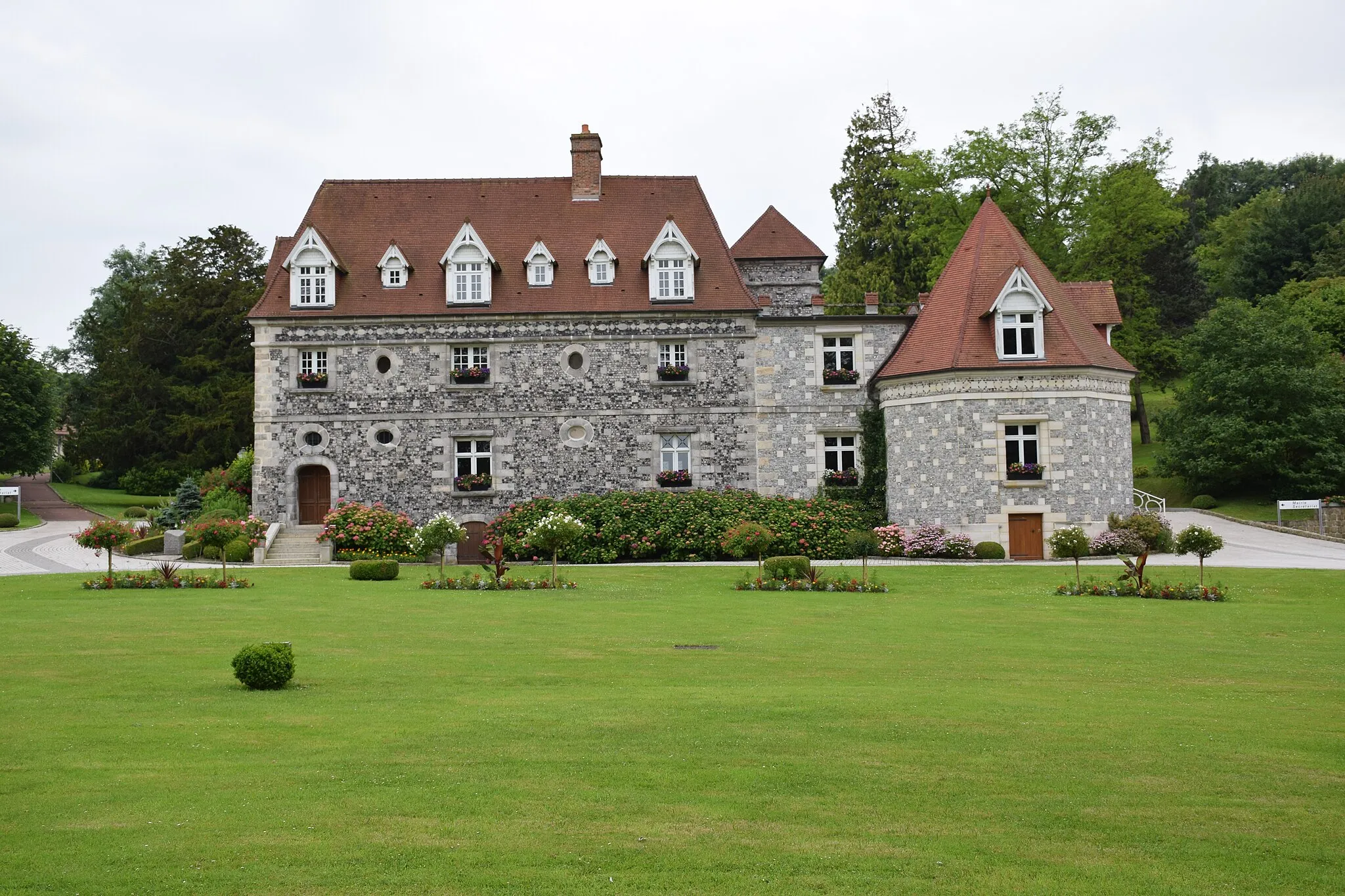
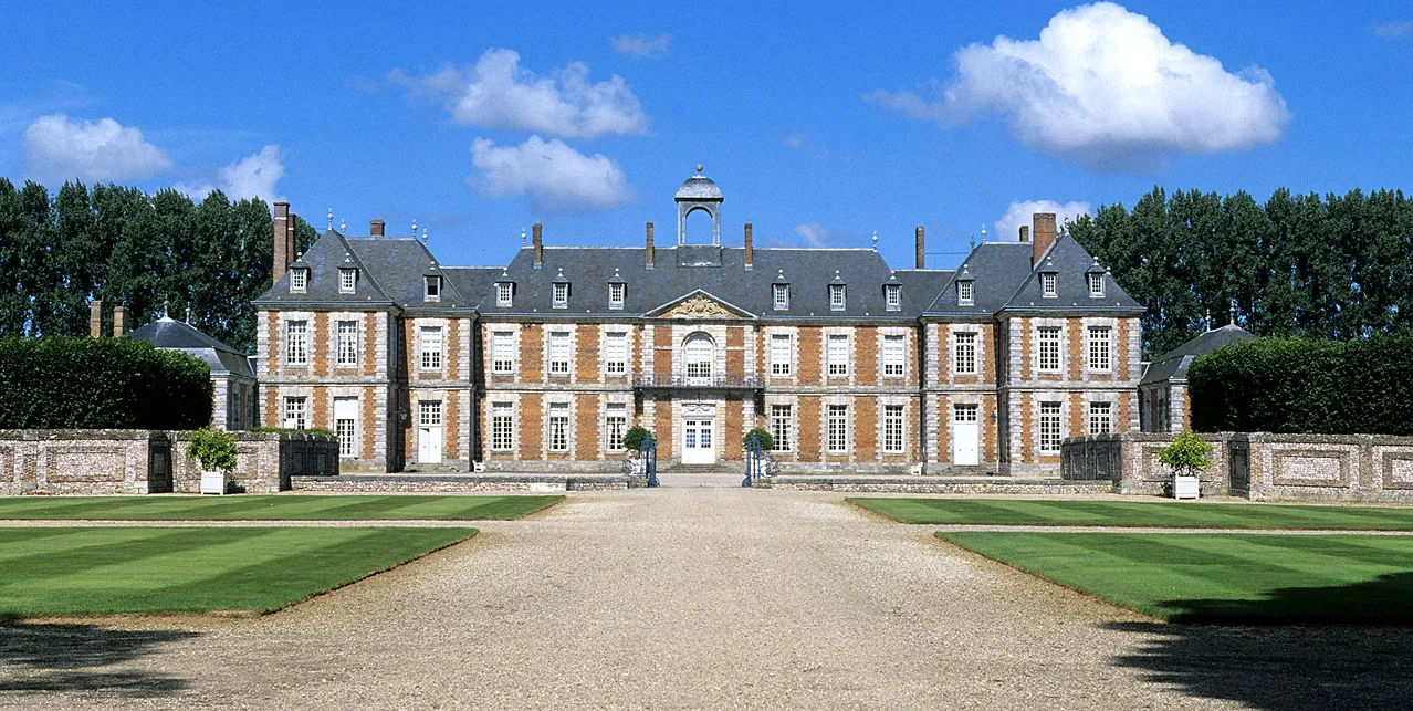
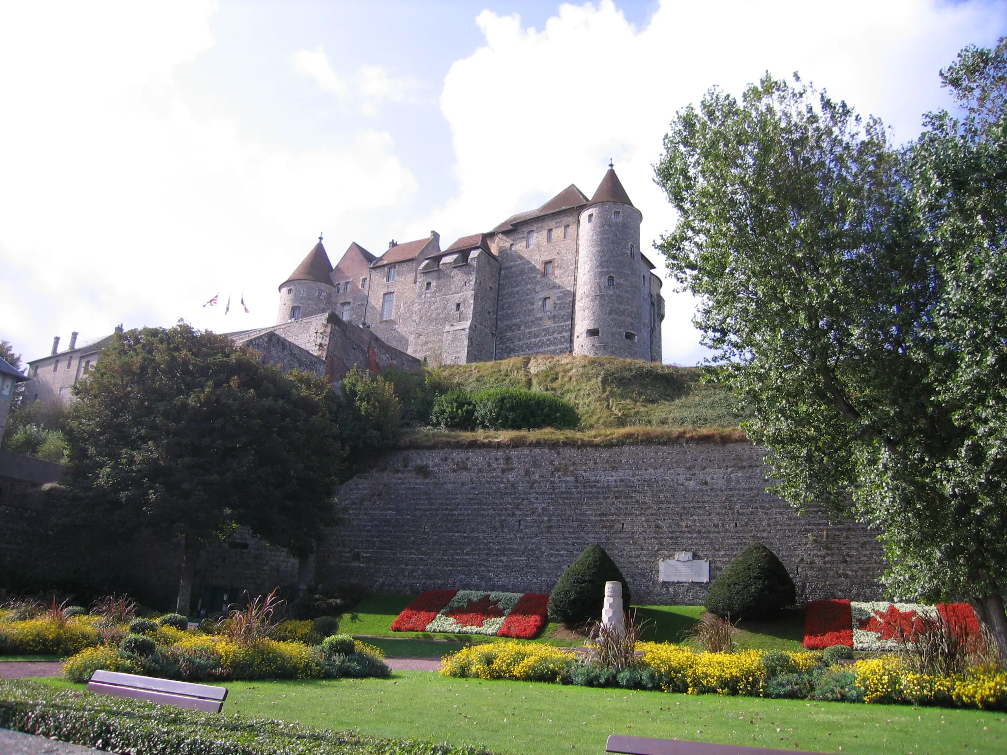
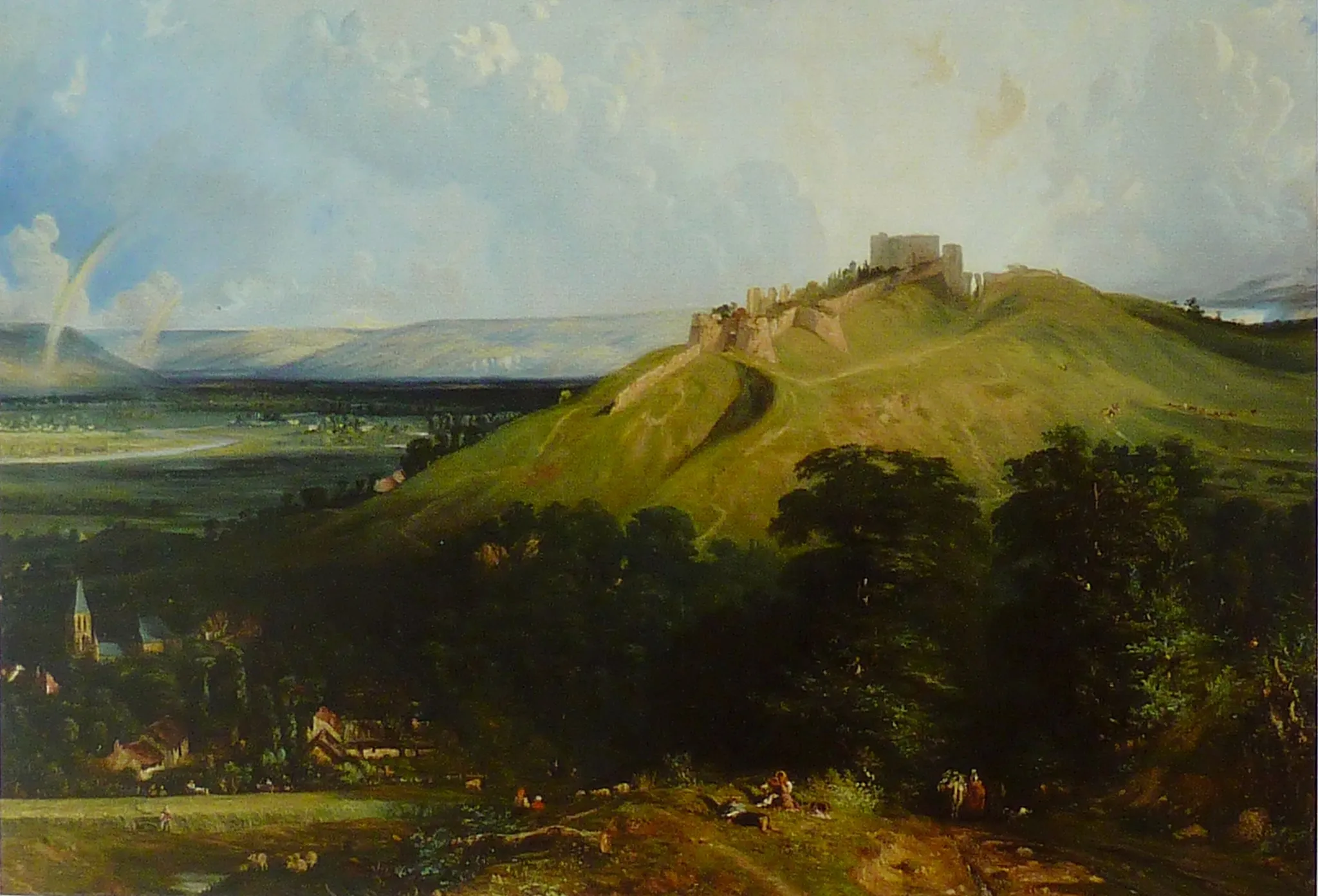
Luneray is a town in the Haute-Normandie region of France that offers a pleasant cycling experience for road and gravel cyclists. The area surrounding Luneray features rolling hills and charming landscapes, providing a beautiful setting for a leisurely ride. Although there aren't any famous cycling-related spots or well-known climbs in the immediate vicinity, Luneray is ideal for riders seeking a peaceful and relaxing cycling experience.
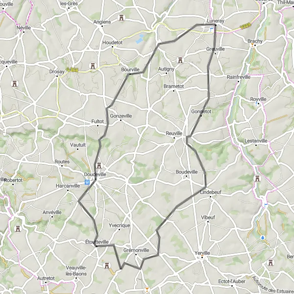
The Caux Valley Loop
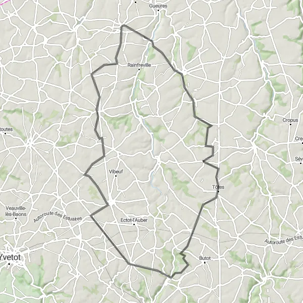
Experience the breathtaking beauty of the Caux Valley with this scenic cycling route
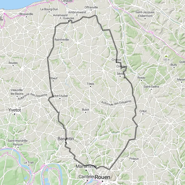
The Caux Valley Loop takes you through the picturesque countryside of Haute-Normandie, offering stunning views of rolling hills and charming villages. The route covers a total distance of 73 kilometers and includes a total ascent of 474 meters, providing a moderate challenge for well-trained amateur cyclists. As you pedal along, immerse yourself in the region's rich history and cultural heritage. The highlights along the route offer a glimpse into the idyllic rural life of Haute-Normandie, with highlights such as Bacqueville-en-Caux, Saint-Ouen-du-Breuil, Auzouville-l'Esneval, Boudeville, and Vénestanville showcasing the region's architectural and natural beauty.
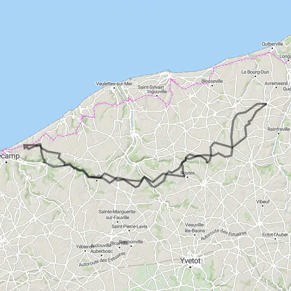
Explore the peaceful countryside and picturesque villages on this road cycling route near Luneray.
Experience the serenity of the countryside on this road cycling route near Luneray. With a distance of 105 km and an ascent of 835 meters, it is a challenging yet rewarding route for experienced cyclists. The route starts in Canville-les-Deux-Églises and passes through Ourville-en-Caux, Colleville, Le Hanouard, Hautot-l'Auvray, and Fontaine-le-Dun. Enjoy the scenic views of rolling hills, charming villages, and beautiful landscapes along the way. Highlights of this route include Canville-les-Deux-Églises, a serene village known for its quaint atmosphere, and Fontaine-le-Dun, a picturesque village with its historic church and lively market.
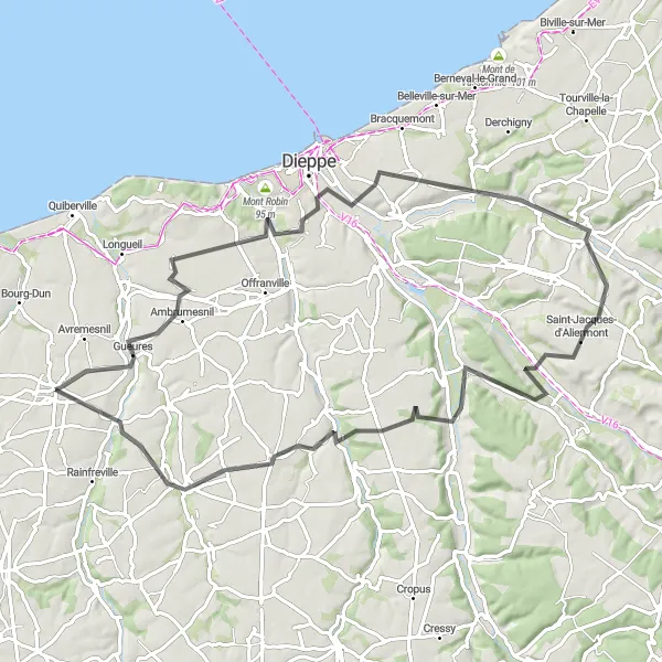
Explore picturesque coastal villages and rolling landscapes
Embark on a scenic adventure through picturesque coastal villages and rolling landscapes on this circular route from Luneray to Bacqueville-en-Caux. Covering a distance of 80 kilometers with an ascent of 894 meters, this road cycling route presents a moderate challenge suitable for intermediate cyclists. Enjoy the stunning views of the coastline and immerse yourself in the rural beauty of Haute-Normandie.
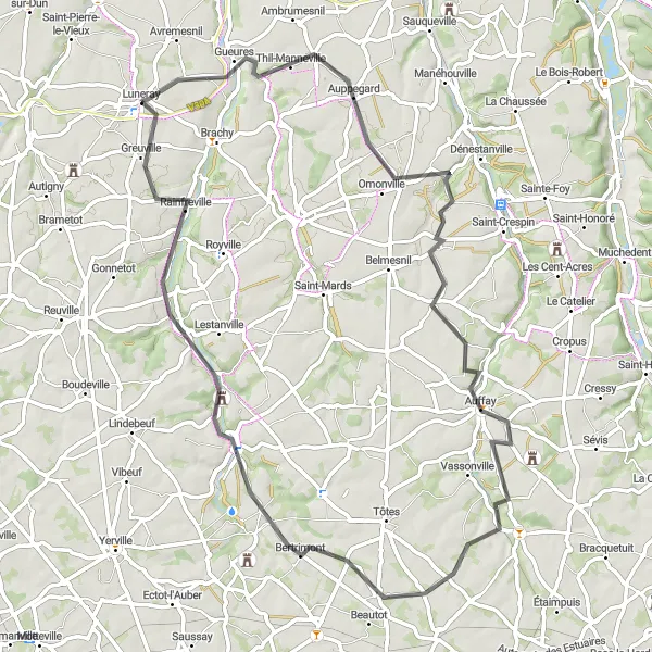
Escape the hustle and bustle of the city and enjoy the peaceful rural landscapes on this road cycling route near Luneray.
This road cycling route near Luneray is perfect for cyclists looking for a peaceful and scenic getaway. Covering a distance of 69 km with an ascent of 450 meters, it is suitable for moderately experienced cyclists. The route begins in Luneray and passes through Bertreville-Saint-Ouen, Criquetot-sur-Longueville, Saint-Maclou-de-Folleville, Bertrimont, Auzouville-sur-Saâne, and Greuville. Highlights of this route include Luneray, a charming town with its historic buildings, and Greuville, known for its beautiful countryside views.

Experience the charm of rural France and picturesque landscapes
Experience the charm of rural France and immerse yourself in picturesque landscapes on the Offranville to Brachy route. Covering a distance of 91 kilometers with an ascent of 893 meters, this road cycling route offers a rewarding challenge and the opportunity to discover lesser-known gems. Explore quaint villages, rolling hills, and lush countryside on this memorable adventure.
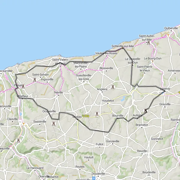
Coastal and Countryside Delights
Indulge in the scenic beauty of the coast and countryside on this road cycling route near Luneray.
This road cycling route near Luneray offers a perfect blend of coastal and countryside scenery. With a distance of 69 km and an ascent of 586 meters, it is a moderately challenging route suitable for experienced cyclists. The route begins in Autigny and passes through Doudeville, Clasville, Belvédère, Saint-Valery-en-Caux, Belvedere du Point d'Interrogation, and La Chapelle-sur-Dun. Revel in the stunning views of the sea and rolling hills on this delightful journey. Highlights of this route include Autigny, a charming village with its historic architecture, and Saint-Valery-en-Caux, known for its picturesque harbor and beautiful cliff views.
Discover tranquil countryside and hidden gems
The Saint-Laurent-en-Caux Loop takes you on a journey through tranquil countryside and hidden gems in Haute-Normandie. With a distance of 52 kilometers and an ascent of 417 meters, this road cycling route provides a refreshing escape from the hustle and bustle of city life. Immerse yourself in the natural beauty of the region and explore the quaint villages along the way.
Charming Coastal Road
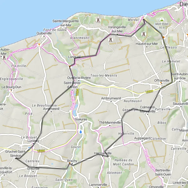
Experience the beautiful coastal scenery and charming villages along this road cycling route near Luneray.
This road cycling route near Luneray takes you along the stunning coastal road, offering picturesque views of the sea and charming villages along the way. With a total distance of 41 km and an ascent of 349 meters, it is a manageable route for seasoned amateurs. The route starts in Avremesnil and passes through Pourville et Dieppe, Saint-Aubin-sur-Scie, Hermanville, and Greuville. Highlights of this route include Avremesnil, a scenic village with its historic church, and Greuville, known for its beautiful countryside views.
Admire coastal panoramas and charming villages along the way
Embark on a picturesque journey from Luneray to Saint-Valery-en-Caux, soaking in the beauty of coastal panoramas and charming villages. This road cycling route covers a distance of 60 kilometers with an ascent of 422 meters, making it accessible for most amateur cyclists. It offers a delightful balance of scenery and tranquility.
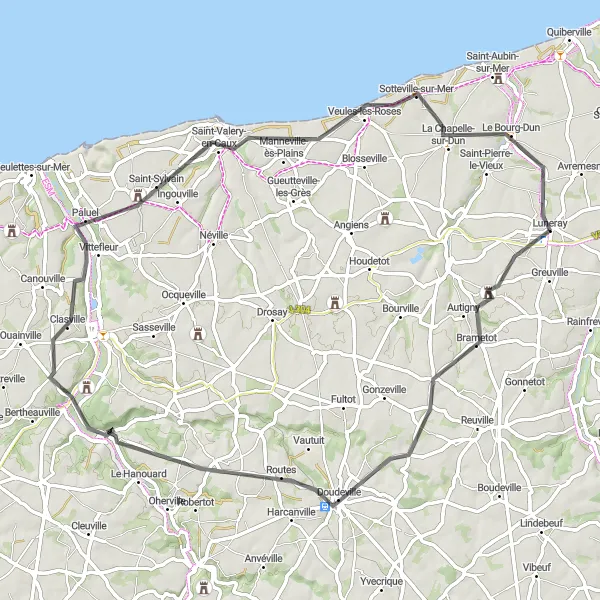
Luneray Loop
Cycling through picturesque villages and rolling countryside
The Luneray Loop offers a scenic cycling experience through beautiful villages and rolling countryside in Haute-Normandie, France. The route covers a distance of 126 kilometers with an elevation gain of 1004 meters. It provides a perfect balance of challenge and enjoyment for well-trained amateur cyclists.
Cycling routes nearby:

Nearby regions: