Bike through the picturesque surroundings of Pacy-sur-Eure.
Cycling routes from Pacy-sur-Eure
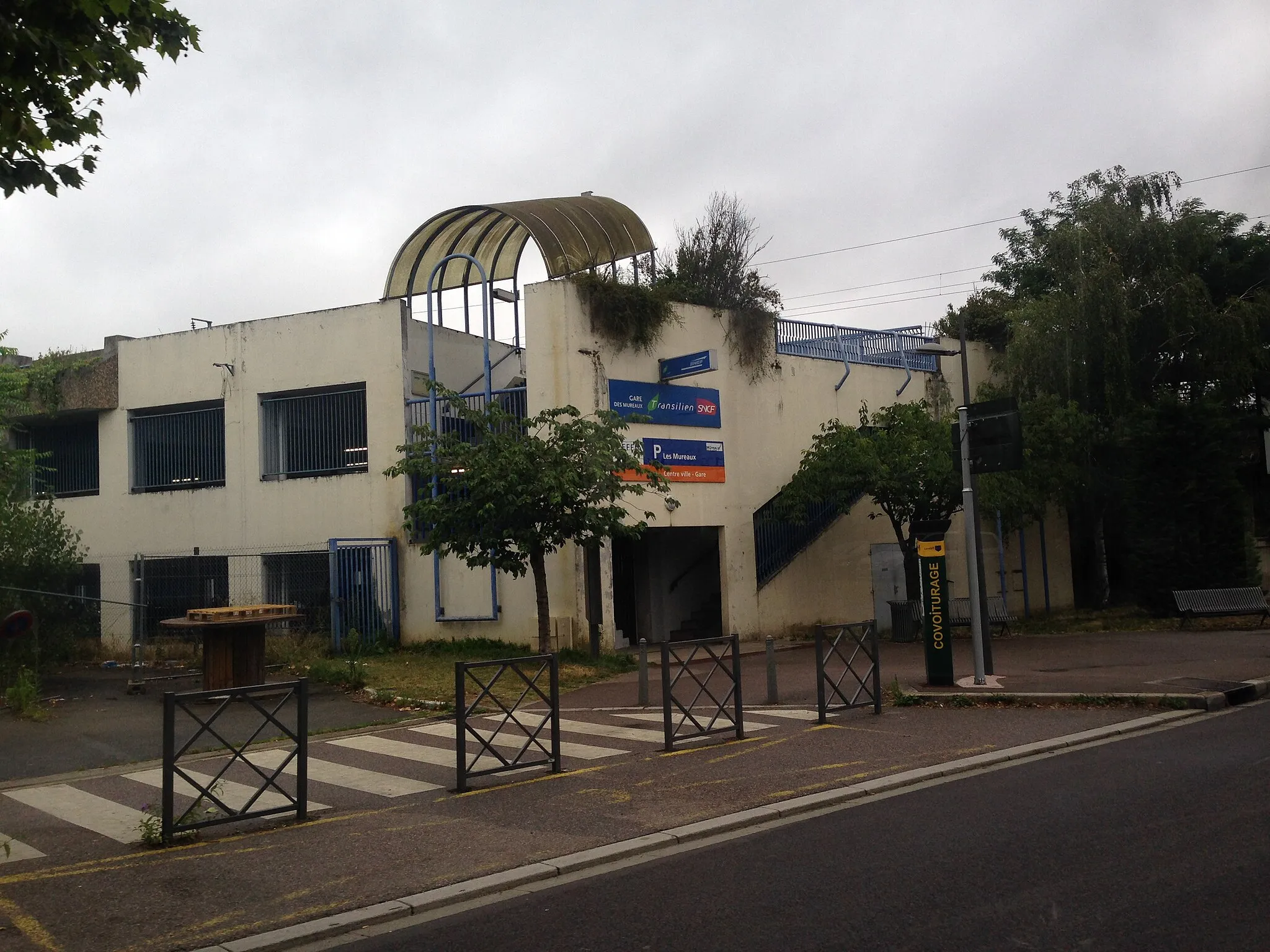
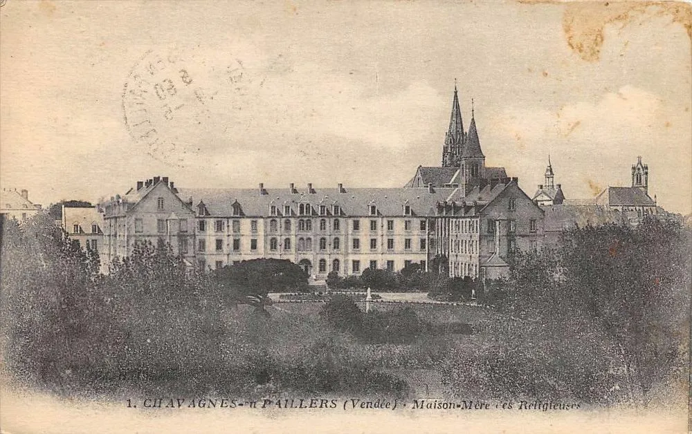
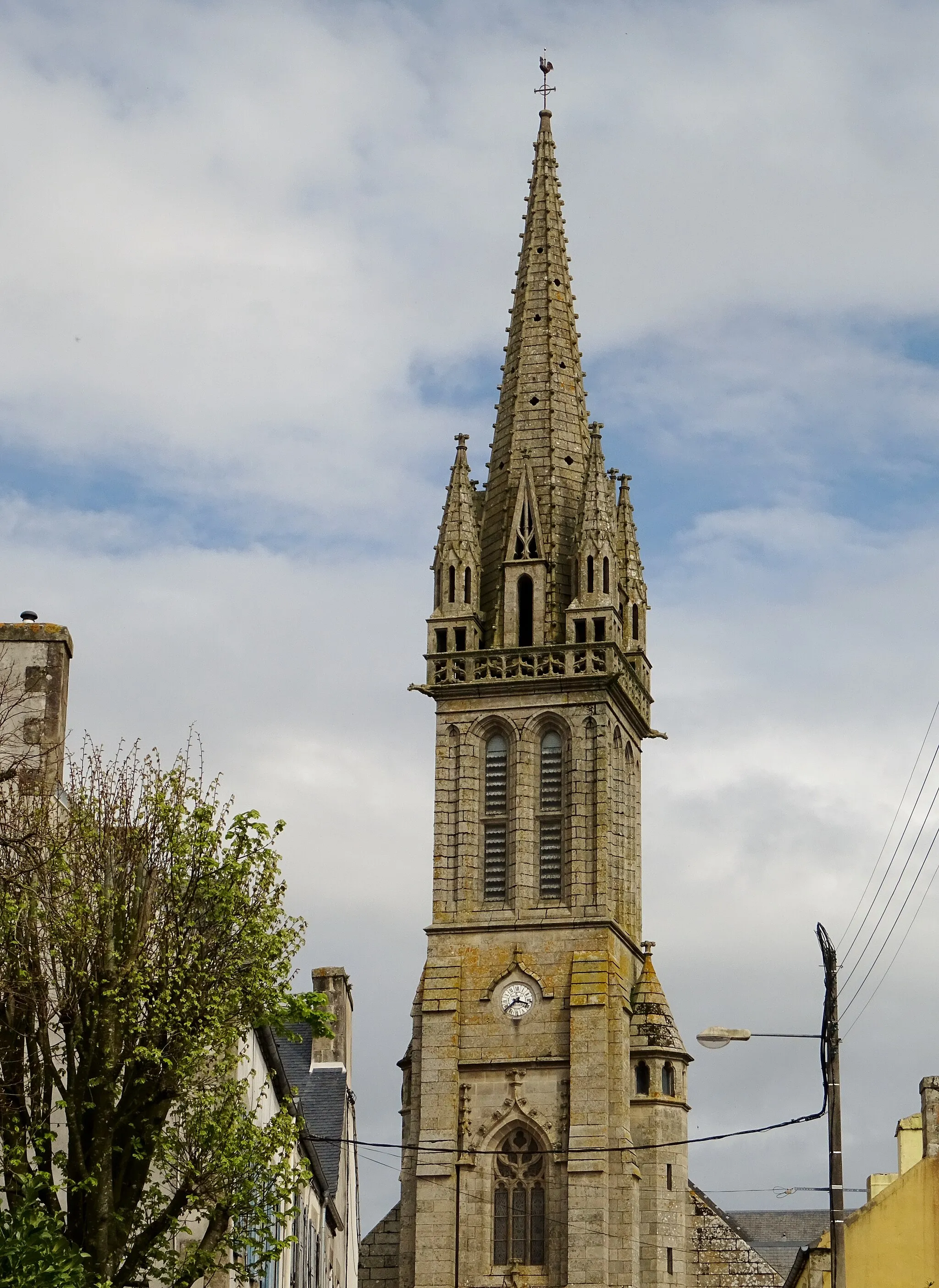
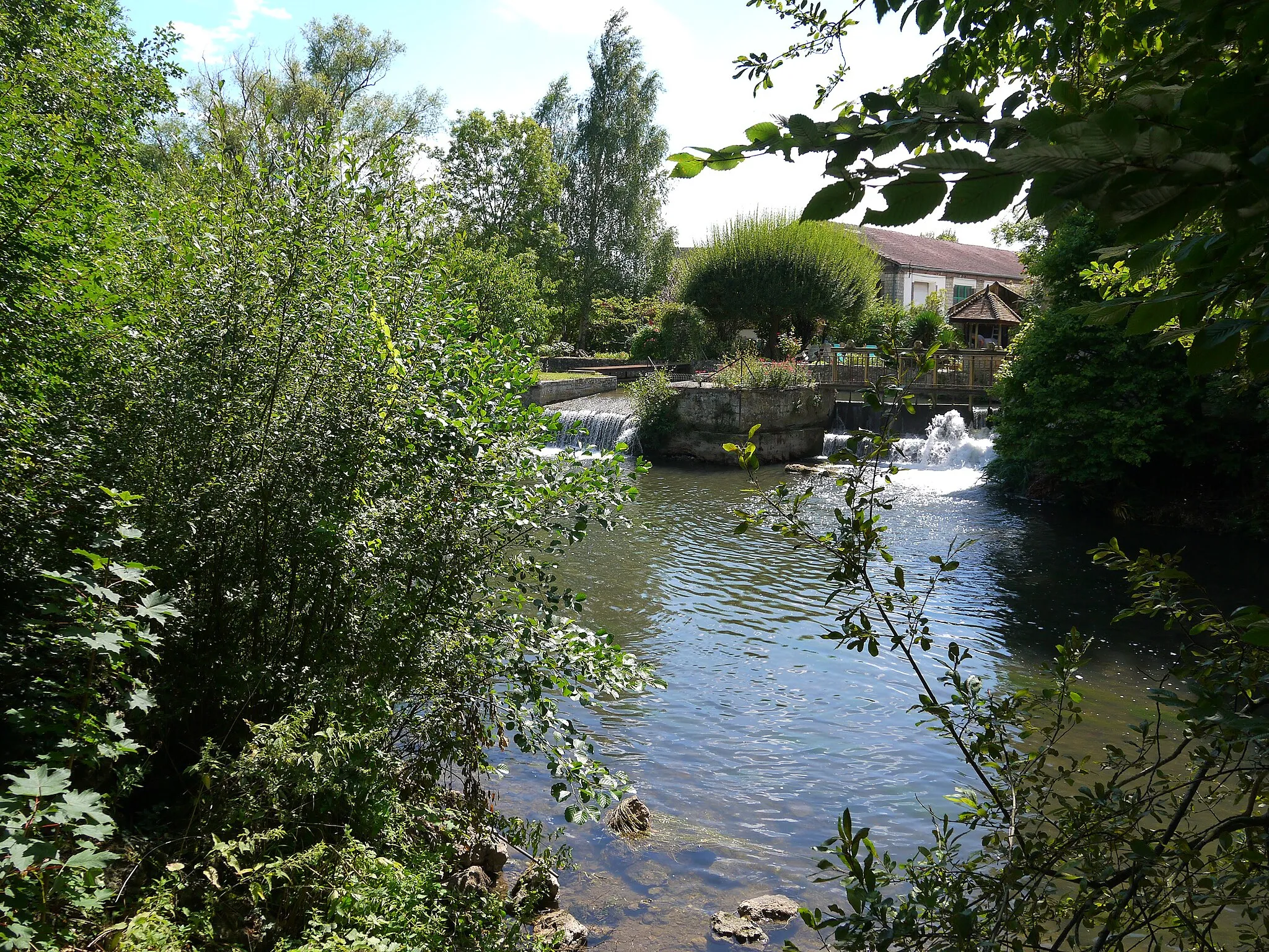
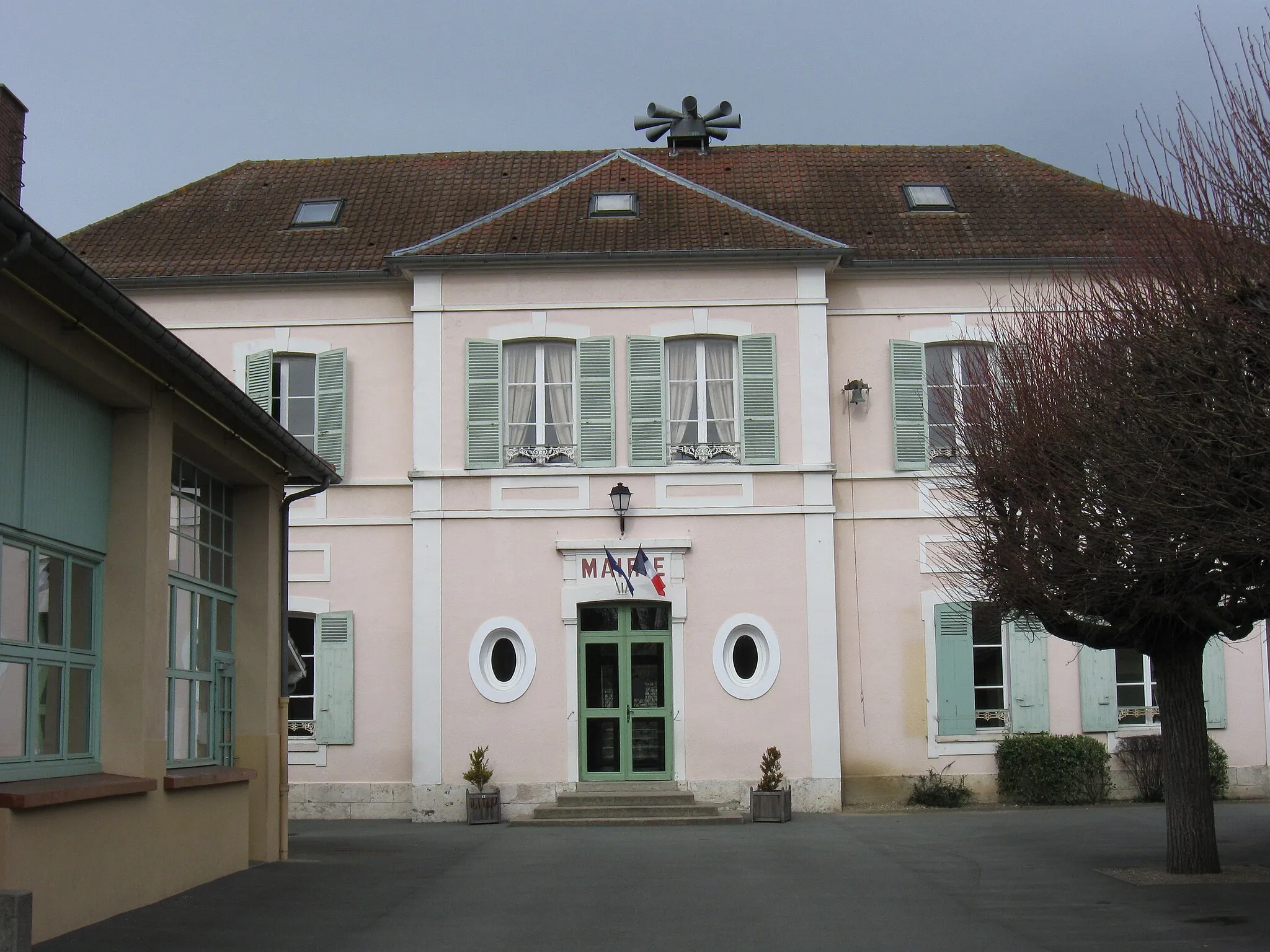
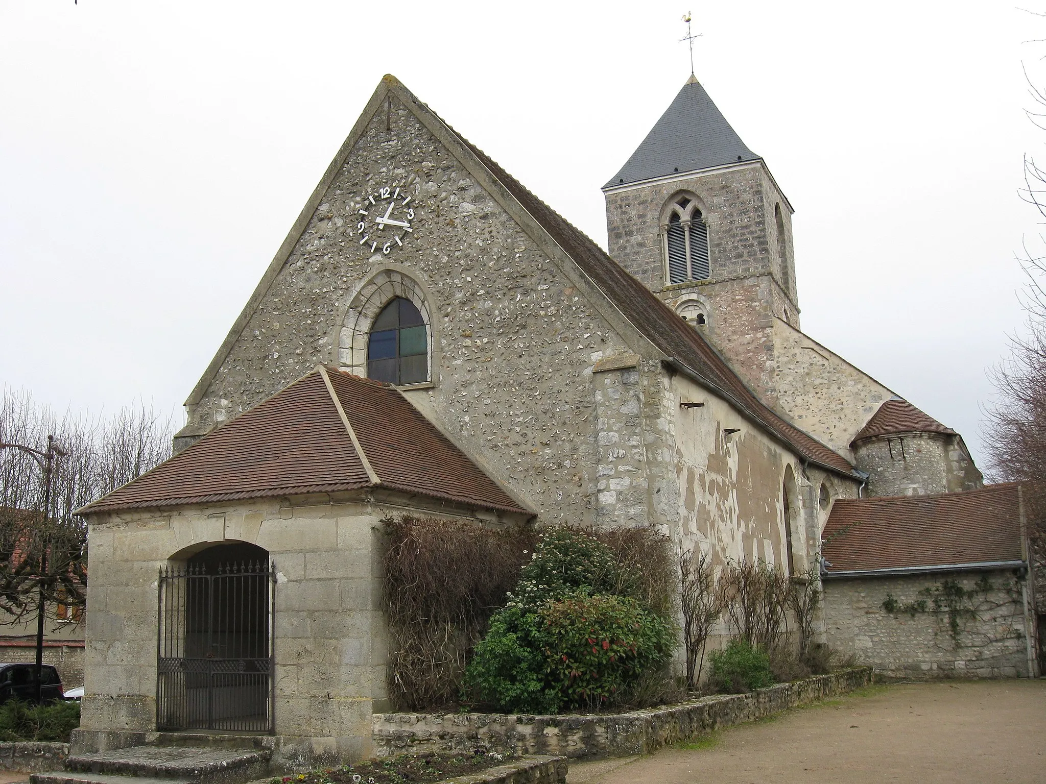
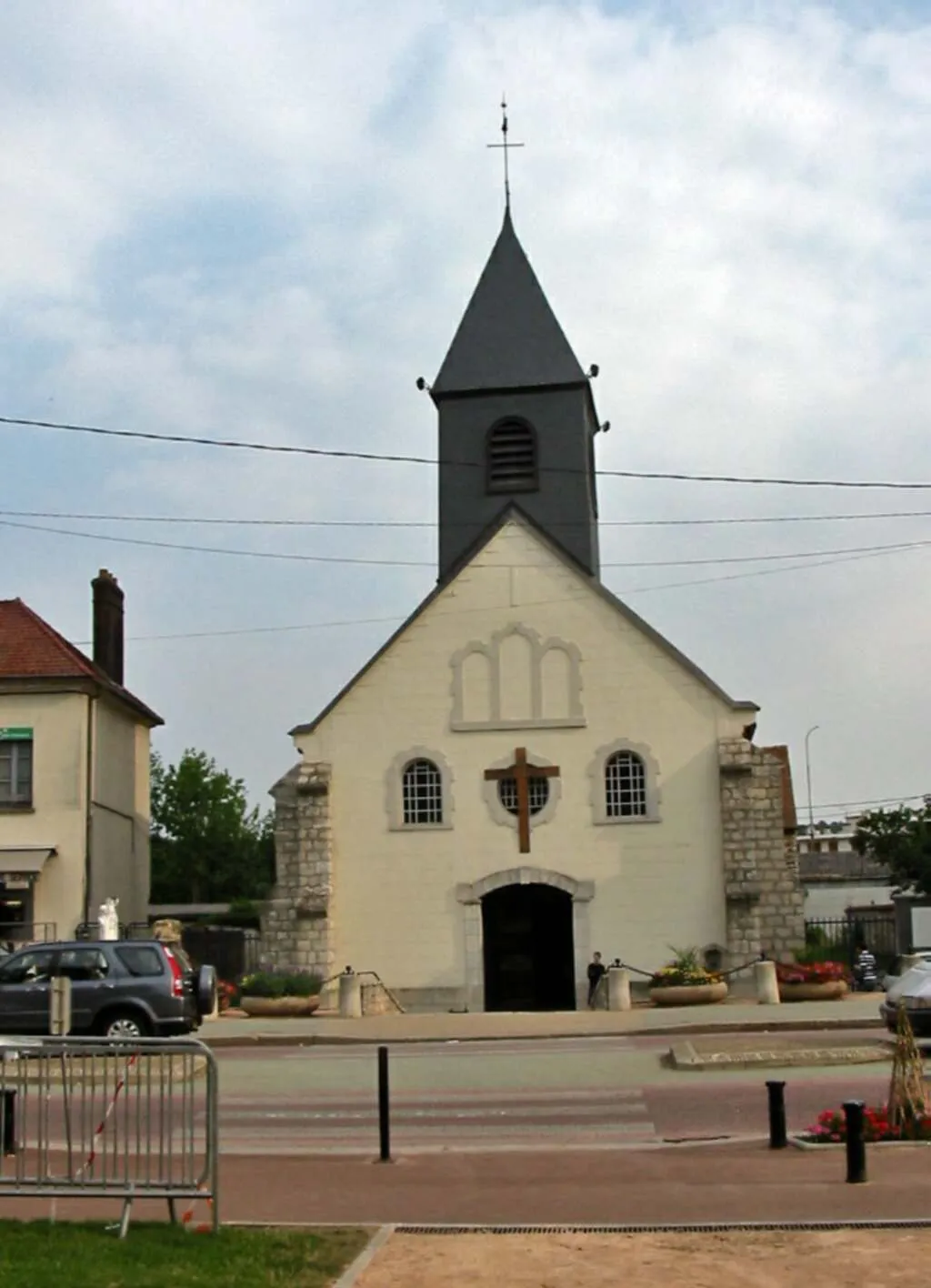
Pacy-sur-Eure is a locality in Haute-Normandie, France. From a cyclist's perspective, Pacy-sur-Eure is a quaint town with picturesque surroundings. The roads in the area are mostly flat, making it a suitable destination for road cyclists who prefer a smoother ride. Gravel cyclists may not find many options for off-road trails, but the scenic countryside provides an enjoyable experience nonetheless. Nearby, cyclists can visit the town of Giverny, famous for its gardens and the inspiration behind many of Monet's paintings.
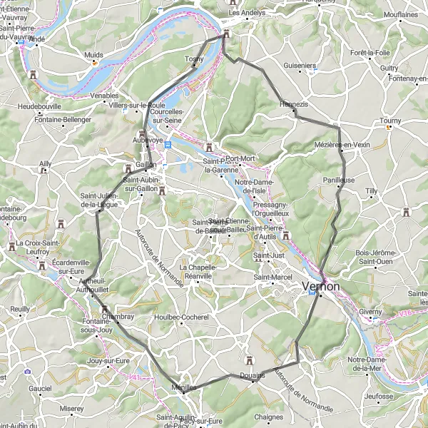
Explore the picturesque towns along the river Eure
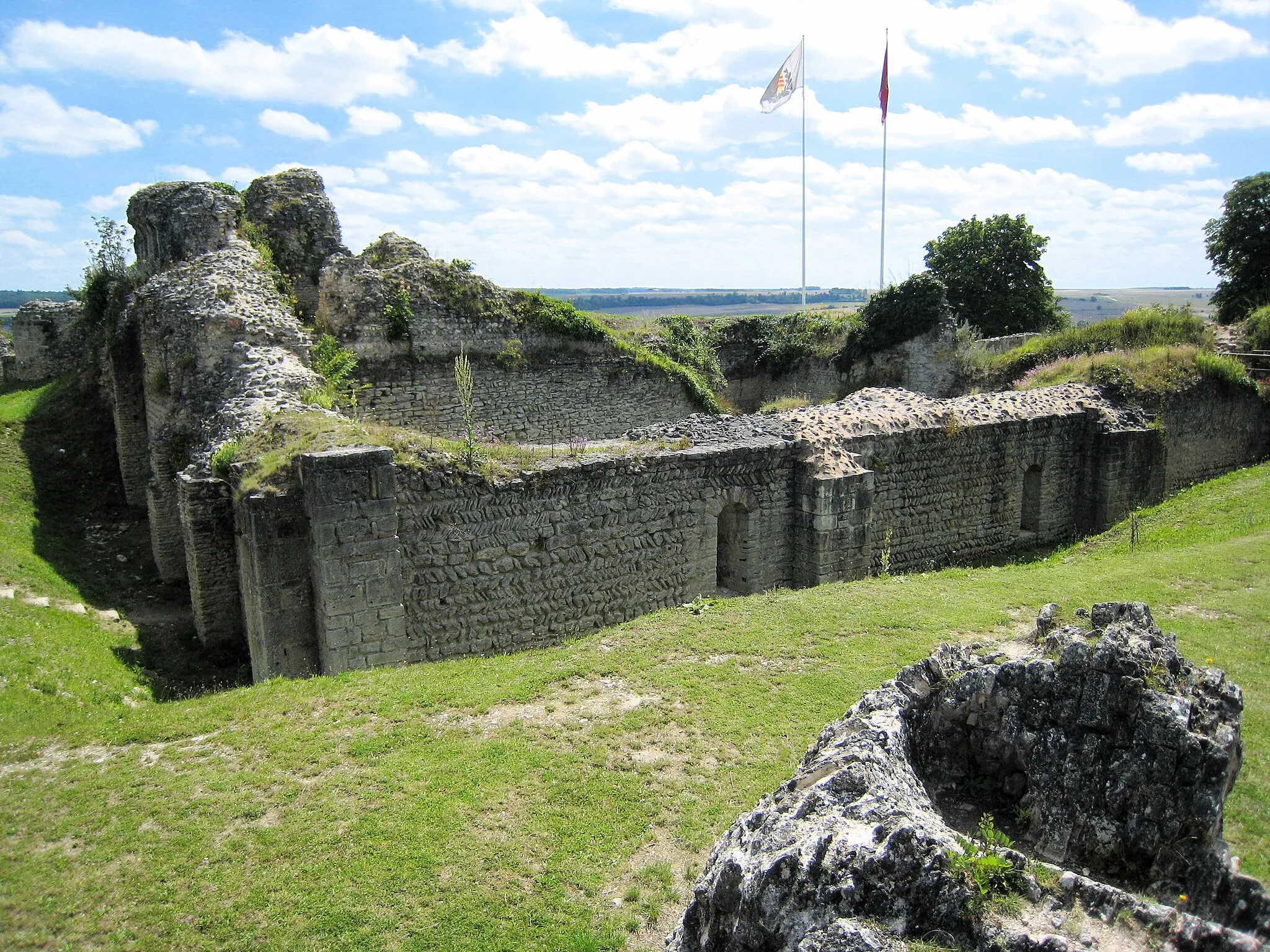
This 68-kilometer gravel route takes you from Pacy-sur-Eure through charming towns such as Houlbec-Cocherel, Bouafles, and Les Andelys before returning to Pacy-sur-Eure. The route offers scenic views of the river Eure and includes some moderate ascents, making it suitable for experienced gravel riders.

Ride through beautiful landscapes and visit historical landmarks
This 62-kilometer gravel route takes you from Pacy-sur-Eure to the city of Évreux and back. As you cycle through Cierrey, Guichainville, Arnières-sur-Iton, and Évreux, you will be immersed in picturesque landscapes and have the opportunity to explore historic sites along the way. With moderate ascents and diverse scenery, this route provides a blend of nature and culture.
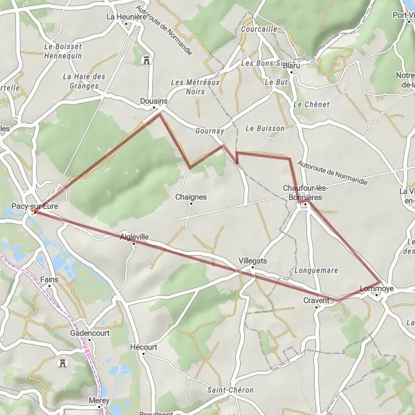
Embark on an off-road gravel adventure and explore the scenic countryside towards Aigleville
This 25 km gravel cycling route near Pacy-sur-Eure offers a unique off-road experience through the scenic French countryside. With a relatively easy difficulty level, it is suitable for cyclists of all skill levels. Expect to encounter an ascent of 173 meters as you discover the hidden gems along this winding trail.
Cycle through picturesque countryside and discover the charm of Le Cormier
This round-trip cycling route near Pacy-sur-Eure takes you through beautiful landscapes and offers a taste of rural France. With a moderate level of difficulty, it is perfect for well-trained amateur cyclists. The route covers a distance of 70 km and includes an ascent of 463 meters.
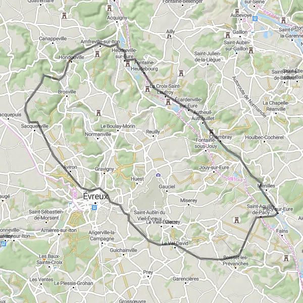
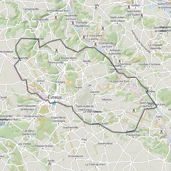
Scenic ride through picturesque Normandy countryside
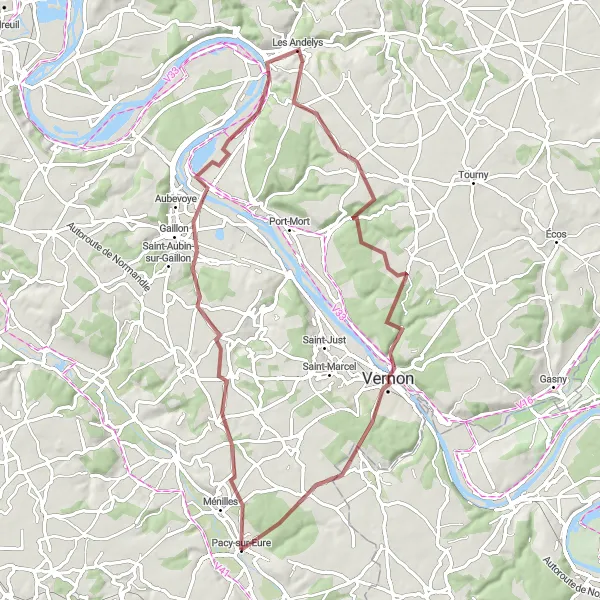
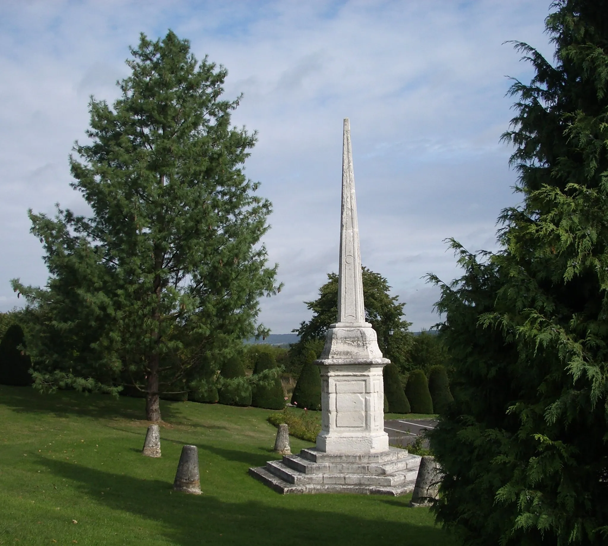
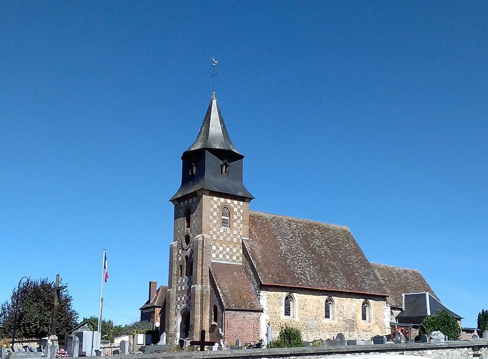
The Frank Tour de Normandie is a scenic cycling route that takes you through the picturesque countryside of Haute-Normandie in France. This 71-kilometer round-trip begins near Pacy-sur-Eure and offers beautiful views of rolling hills, charming villages, and the stunning Eure River. The route is suitable for road biking and provides a moderate challenge with a total ascent of 391 meters. Along the way, you'll encounter several highlights, including the Le Val-David castle, the quaint town of Sacquenville, the historic village of Cailly-sur-Eure, and the beautiful riverside views of Pacy-sur-Eure.
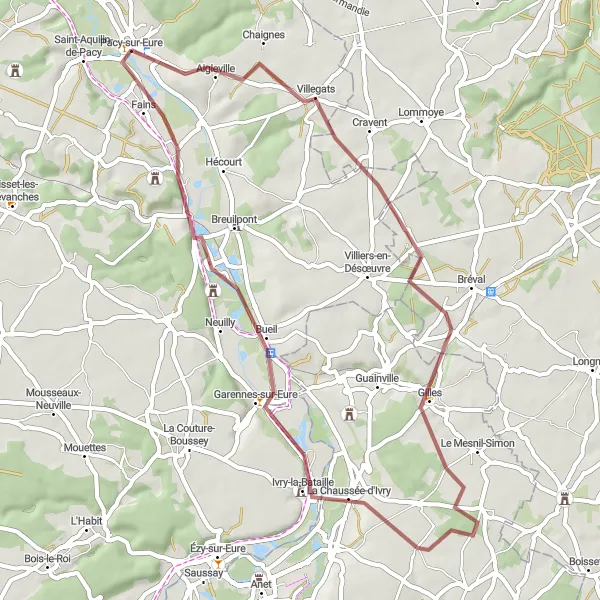
Experience the beauty of the Eure Valley and visit historic sites
This 49-kilometer gravel route takes riders from Pacy-sur-Eure to the historic town of Ivry-la-Bataille and back. Along the way, you will pass through Aigleville, Neauphlette, and Merey, each offering their own charm and scenic landscapes. With moderate ascents and a mix of nature and history, this route is perfect for gravel riders seeking a diverse and rewarding cycling experience.
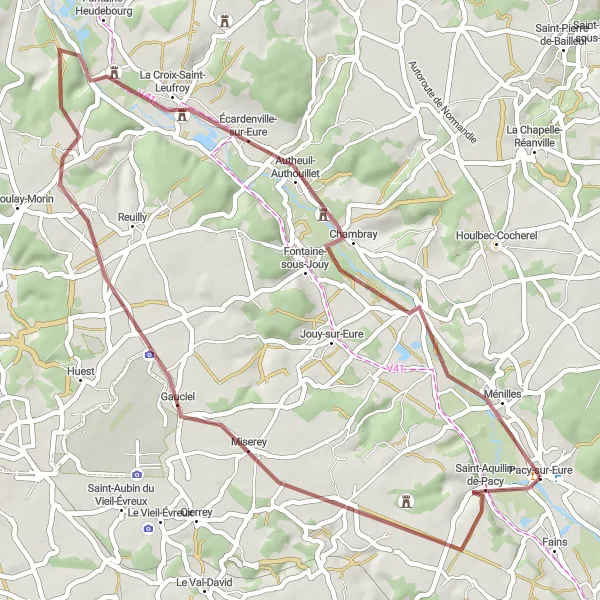
Discover the idyllic countryside and hidden gems of Normandy
This 46-kilometer gravel route takes you through picturesque countryside and villages, including Caillouet-Orgeville, Dardez, Chambray, and Croisy-sur-Eure, before returning to Pacy-sur-Eure. With a moderate difficulty level and scenic vistas, this route allows riders to explore lesser-known, yet beautiful parts of Normandy.
Scenic Eure Valley Route
Enjoy breathtaking views of the Eure Valley as you cycle through the picturesque countryside
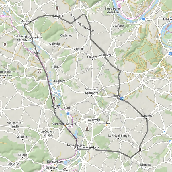
This road cycling route near Pacy-sur-Eure spans 68 km and offers stunning views of the Eure Valley. With a moderate difficulty level, it is perfect for well-trained amateur cyclists who are seeking a scenic challenge. The route includes an ascent of 599 meters, ensuring a rewarding and memorable cycling experience.
Experience the beautiful countryside and historic landmarks along the way
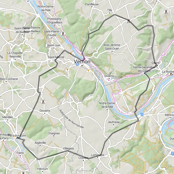
This 61-kilometer road route provides a mix of scenic countryside and historic landmarks. Starting from Pacy-sur-Eure, you will pass through Douains, Chaufour-lès-Bonnières, Saint-Illiers-la-Ville, Flins-Neuve-Église, and La Chaussée-d'Ivry before returning to Pacy-sur-Eure. With moderate ascents and picturesque views, this route is suitable for road cyclists seeking a balance of challenge and enjoyment.
Embark on a beautiful cycling journey along the picturesque Seine River
This road cycling route near Pacy-sur-Eure covers a distance of 61 km and offers stunning views of the Seine River. With a moderate difficulty level, it is perfect for well-trained amateur cyclists who are seeking a scenic and enjoyable ride. The route includes an ascent of 569 meters, providing a good level of challenge for riders.
Cycling routes nearby:
Nearby regions: