Limited cycling opportunities
Cycling routes from Brou-sur-Chantereine
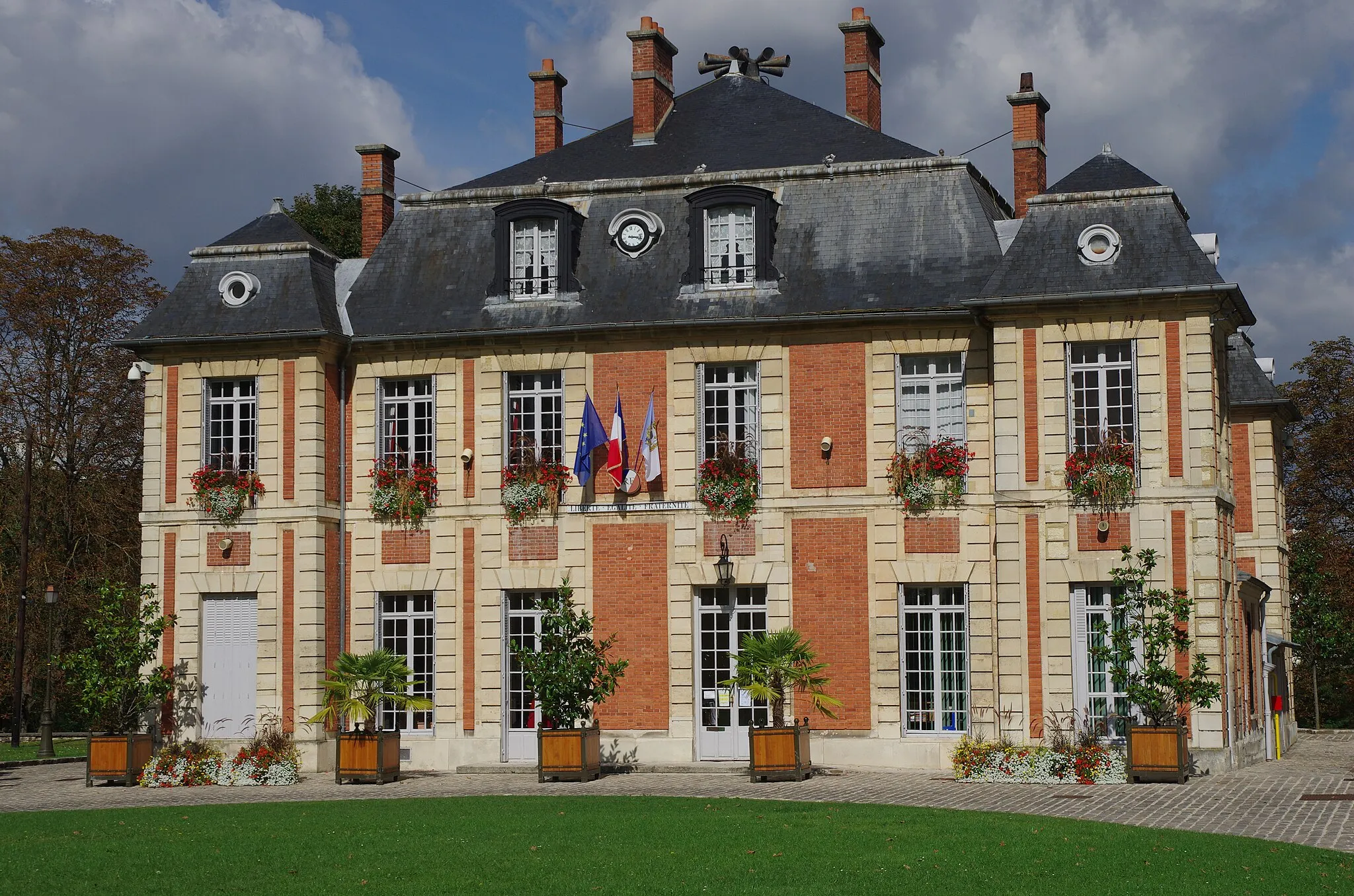
Brou-sur-Chantereine is a town located in the Ile-de-France region of France. The cycling opportunities in this area are limited, as the town itself is mostly urban and doesn't offer many scenic routes for road or gravel cyclists. While there may be some local routes to explore, Brou-sur-Chantereine is not a popular destination for cyclists. If you're looking for a cycling-friendly area with more options, you might want to consider other towns in the region.
Embark on a scenic road cycling route from Brou-sur-Chantereine to Villevaudé.
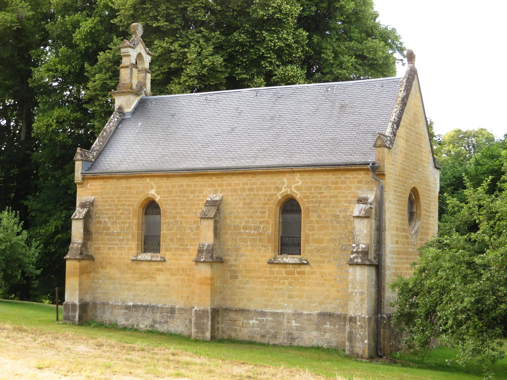
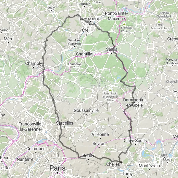
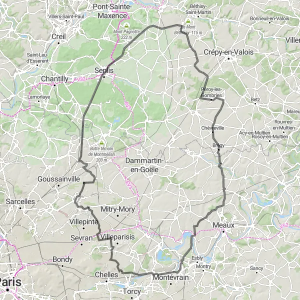
This road cycling route starting near Brou-sur-Chantereine takes you through stunning landscapes and charming towns. With a total ascent of 930m and a distance of 150km, it is suitable for well-trained amateur cyclists. Highlights of the route include Point de vue sur l'ancienne carrière du Beauzet, a lookout point offering breathtaking views of the former Beauzet quarry, and Beaumont-sur-Oise, a picturesque town known for its medieval charm. With a difficulty rating of 4 and an epicness rating of 4, this route offers a challenging and memorable cycling experience. Stop at Bobigny and explore its urban attractions or visit Senlis and discover its rich history and architectural treasures.
Explore the beauty of nature on this gravel cycling route near Brou-sur-Chantereine
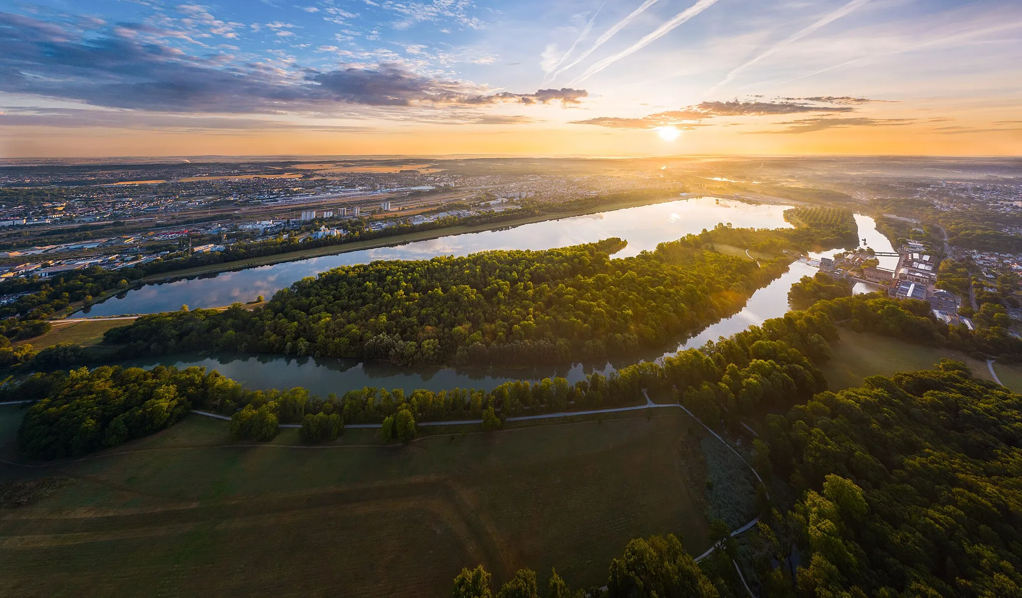
This 73-kilometer gravel cycling route near Brou-sur-Chantereine offers a challenging ascent of 465 meters. Suitable for experienced cyclists, it takes you through quiet countryside roads and charming towns. Claye-Souilly, at the 11-kilometer mark, provides a perfect resting spot with its picturesque views and local cafes. As you venture further, you'll come across the village of Forfry, renowned for its enchanting landscapes. Crégy-lès-Meaux, located at the 46-kilometer mark, is a hidden gem with its historic buildings and beautiful churches. Lagny-sur-Marne, at kilometer 67, brings a touch of culture with its charming streets and lively atmosphere.
Embark on a thrilling gravel ride near Brou-sur-Chantereine.
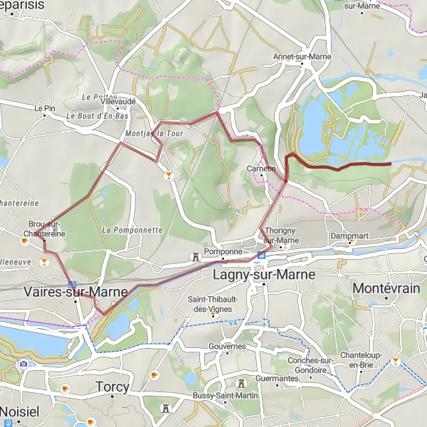
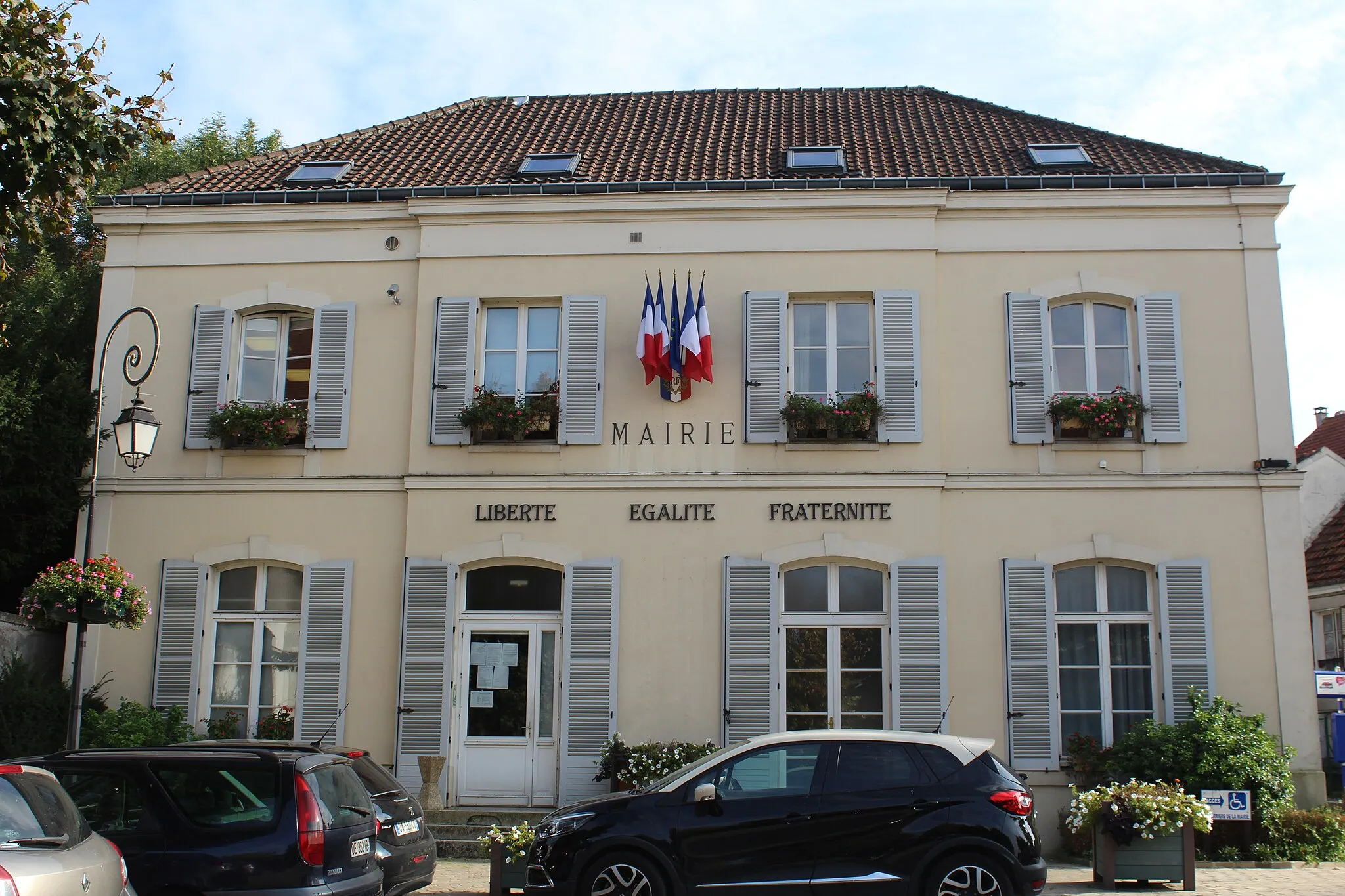
This gravel cycling route starting near Brou-sur-Chantereine offers a thrilling off-road adventure. With a total ascent of 160m and a distance of 27km, it is suitable for well-trained amateur gravel riders. The route highlights include Carnetin, a village known for its beautiful gardens, and Vaires-sur-Marne, a peaceful town surrounded by nature. With a difficulty rating of 1 and an epicness rating of 2, this route is perfect for those seeking a shorter, but exhilarating cycling experience. Stop in Carnetin to explore its charming village atmosphere or take a break at La Croix de Carnetin, a popular resting spot for cyclists.
Embark on a scenic gravel adventure near Brou-sur-Chantereine
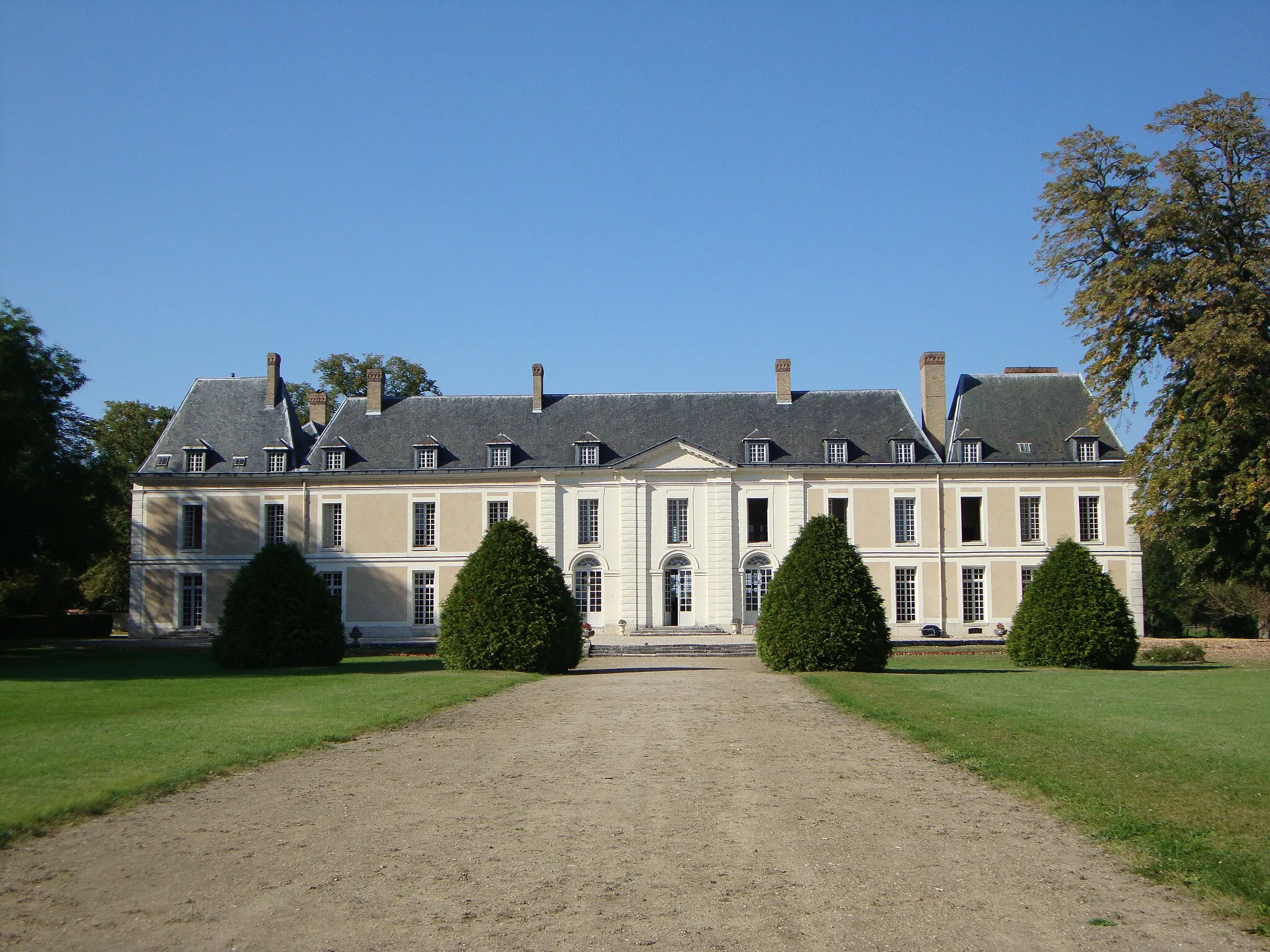
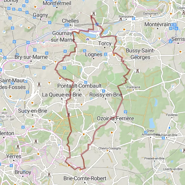
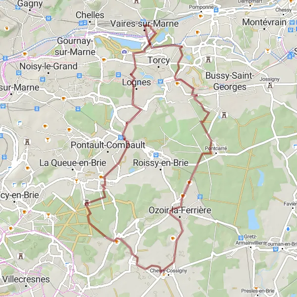
This 64-kilometer gravel cycling route starting near Brou-sur-Chantereine offers a relatively easy ride with a moderate ascent of 253 meters. The route takes you through picturesque towns and beautiful countryside landscapes. Vaires-sur-Marne, located at the 2-kilometer mark, presents a peaceful lake where you can take a moment to appreciate the tranquility of nature. Ozoir-la-Ferrière, at the 21-kilometer mark, surprises with its charming character and inviting small-town atmosphere. Discover the medieval wonders of Férolles-Attilly, located at kilometer 27, with its historic castle and serene surroundings. Château des Marmousets, at the 42-kilometer mark, is a hidden gem to visit, combining history, nature, and exceptional architecture. Champs-sur-Marne, situated at the 56-kilometer mark, offers magnificent gardens that surround the striking Château de Champs.
Experience the beauty of the countryside on this road cycling route near Brou-sur-Chantereine
This 51-kilometer road cycling route near Brou-sur-Chantereine provides a smooth ride with a moderate ascent of 170 meters. Suitable for all skill levels, it takes you through scenic countryside landscapes, charming towns, and picturesque viewpoints. Pontcarré, located at the 14-kilometer mark, offers a tranquil setting near the river and is perfect for a peaceful picnic. Chevry-Cossigny, at the 24-kilometer mark, welcomes cyclists with its inviting streets and beautiful architecture. Émerainville, situated at the 41-kilometer mark, is surrounded by lush greenery and offers a delightful break from the bustling city. Noisiel, at kilometer 46, is known for its stunning riverside paths and historical landmarks.
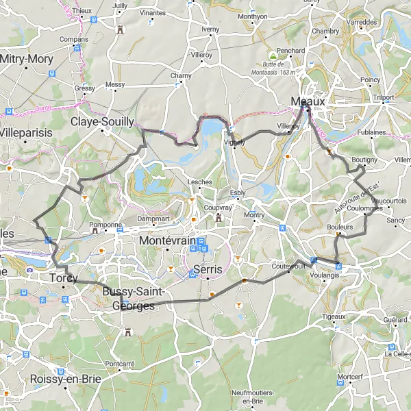
Embark on a beautiful road cycling route near Brou-sur-Chantereine
This 74-kilometer road cycling route starting near Brou-sur-Chantereine offers stunning views and a challenging ascent of 498 meters. Designed for experienced cyclists, it takes you through picturesque villages, vast countryside, and breathtaking viewpoints. Villevaudé, located at the 3-kilometer mark, is a hidden jewel surrounded by lush greenery and overlooked by a magnificent castle. Charmentray, at the 18-kilometer mark, entices with its traditional charm, historic buildings, and enchanting atmosphere. Villenoy, situated at the 26-kilometer mark, invites you to relax and enjoy picturesque views of the Marne River. Coutevroult, at the 51-kilometer mark, captivates cyclists with its serene countryside landscapes and rich heritage. Torcy, at kilometer 68, offers a vibrant modern atmosphere alongside beautiful parks and gardens.
Gravel Escape in Ile-de-France
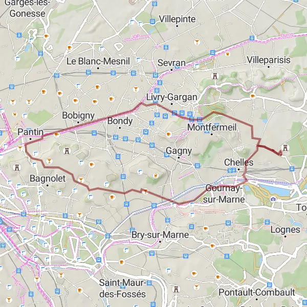
Embark on an off-road adventure through the hidden trails of Ile-de-France.
Unleash your sense of adventure on this gravel route that unveils the lesser-known trails and hidden gems of the Ile-de-France region. As you pedal through the rugged terrain, you'll encounter the stunning natural beauty of Noisy-le-Grand and the remarkable Observatoire des Pâtres. The route continues to the lively city of Montreuil, where you can experience the vibrant atmosphere and eclectic mix of cultures. Bobigny awaits, offering a change of scenery with its urban landscape intertwining with pockets of green spaces. Finally, Montfermeil greets you with its charming countryside and serene atmosphere. With a moderate difficulty level and off-the-beaten-path highlights, this route promises an unforgettable gravel cycling experience.
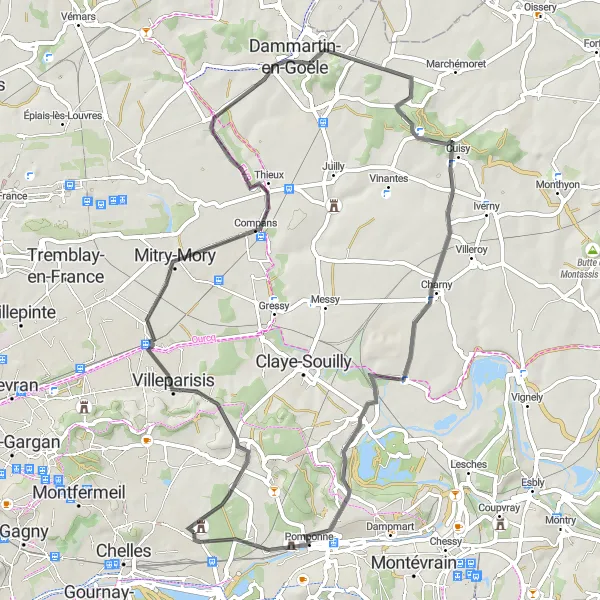
Explore the beauty of Villeparisis on this road cycling route with several noteworthy stops along the way.
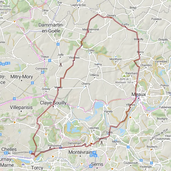
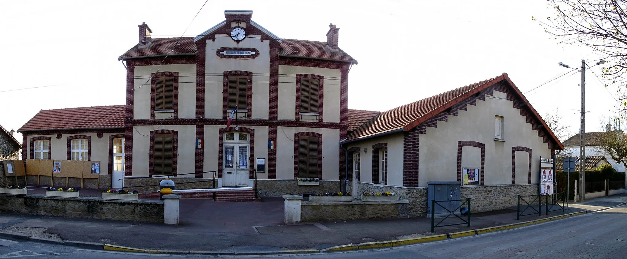
This road cycling route starting near Brou-sur-Chantereine takes you through picturesque landscapes and charming villages. With a total ascent of 541m and a distance of 88km, it is suitable for well-trained amateur cyclists. The route highlights include Villeparisis, a vibrant town known for its historical landmarks, Compans with its impressive chateau, and Oissery with its stunning views of the surrounding countryside. With a difficulty rating of 3 and an epicness rating of 3, this route offers a pleasant and rewarding cycling experience. Stop at Carnetin to explore its beautiful gardens or take a break at La Croix de Carnetin, a popular spot for cyclists.
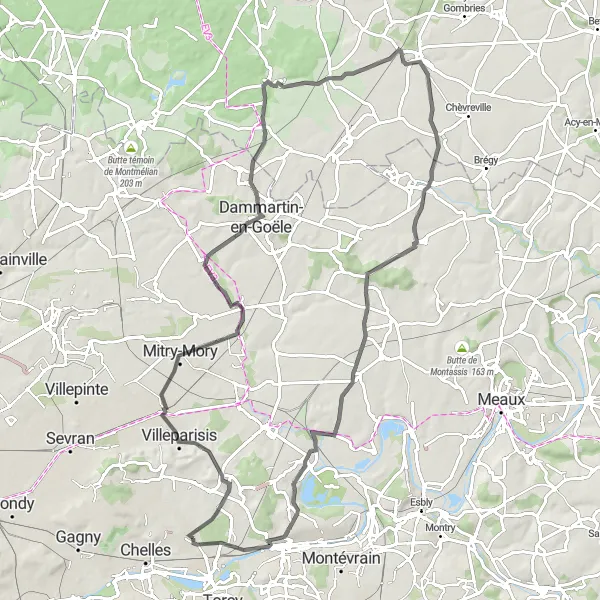
Embark on a scenic road cycling loop from Brou-sur-Chantereine to Dammartin-en-Goële and back.
This road cycling loop starting near Brou-sur-Chantereine takes you through rolling hills and picturesque villages. With a total ascent of 423m and a distance of 63km, it is suitable for well-trained amateur cyclists. Highlights of the route include Villeparisis, a charming town with historical sites, Dammartin-en-Goële with its well-preserved medieval buildings, and Montgé-en-Goële with its beautiful countryside views. With a difficulty rating of 2 and an epicness rating of 3, this route offers a pleasant and enjoyable cycling experience. Stop at Carnetin to explore its charming village atmosphere or take a break at La Croix de Carnetin, a popular resting spot for cyclists.
Historical Tour of Ile-de-France
Explore the rich history of the Ile-de-France region on this cycling route
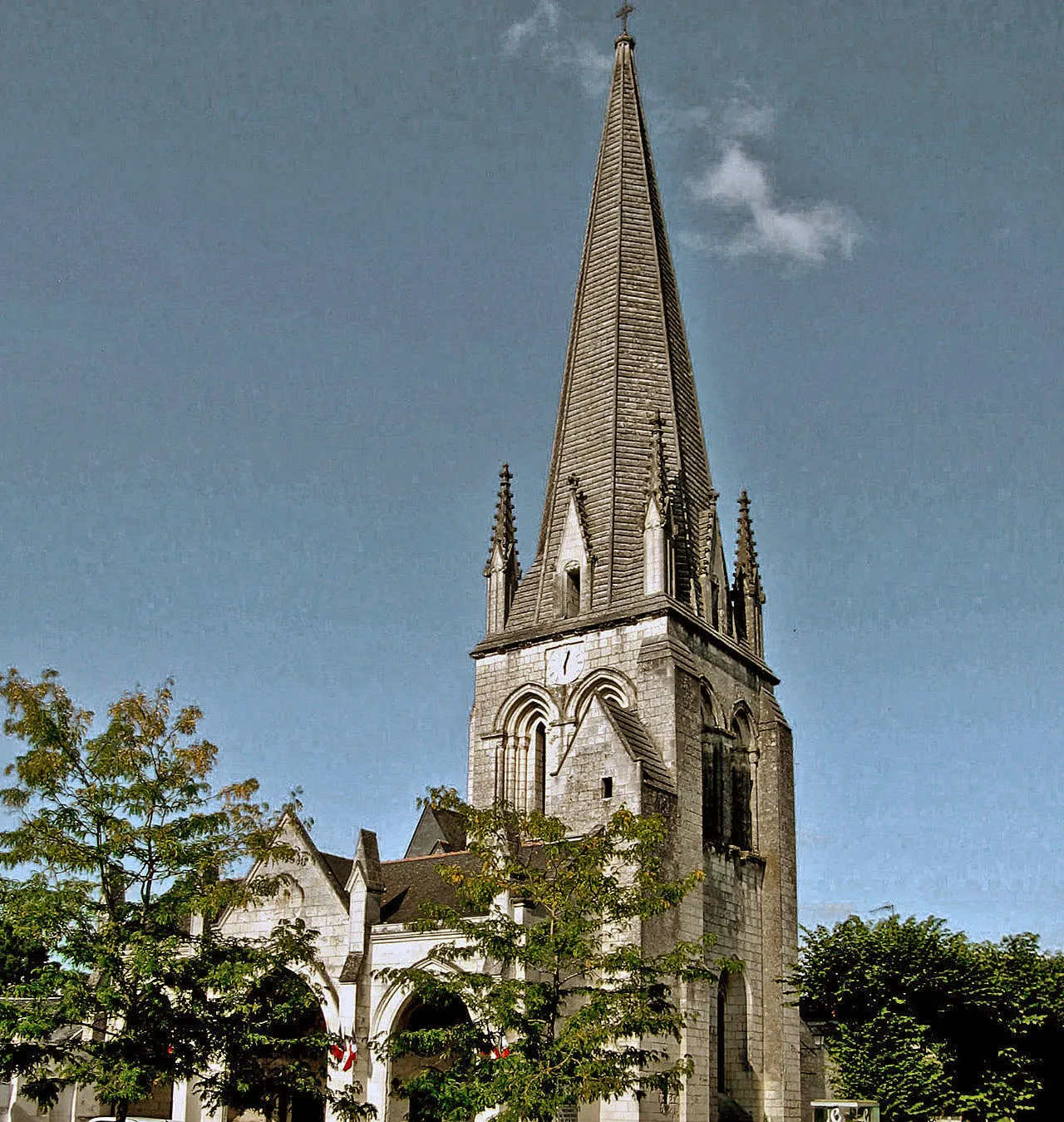
Embark on a historical journey through the Ile-de-France region, immersing yourself in the rich heritage and cultural landmarks along the way. This route offers a combination of scenic landscapes and notable historical sites, providing a unique experience for cyclists of all levels. From the charming town of Tremblay-en-France to the picturesque villages of Chennevières-lès-Louvres and Senlis, you'll discover the diverse history and architectural wonders of the region. The route also takes you to the renowned observation spot at Montassis and the enchanting town of Chauconin-Neufmontiers. With its moderate difficulty level and fascinating highlights, this tour is ideal for history enthusiasts and leisure cyclists looking for a memorable adventure.
Cycling routes nearby:


Nearby regions: