Versatile cycling options in the heart of Ile-de-France.
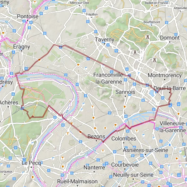
Cycling routes from Deuil-la-Barre
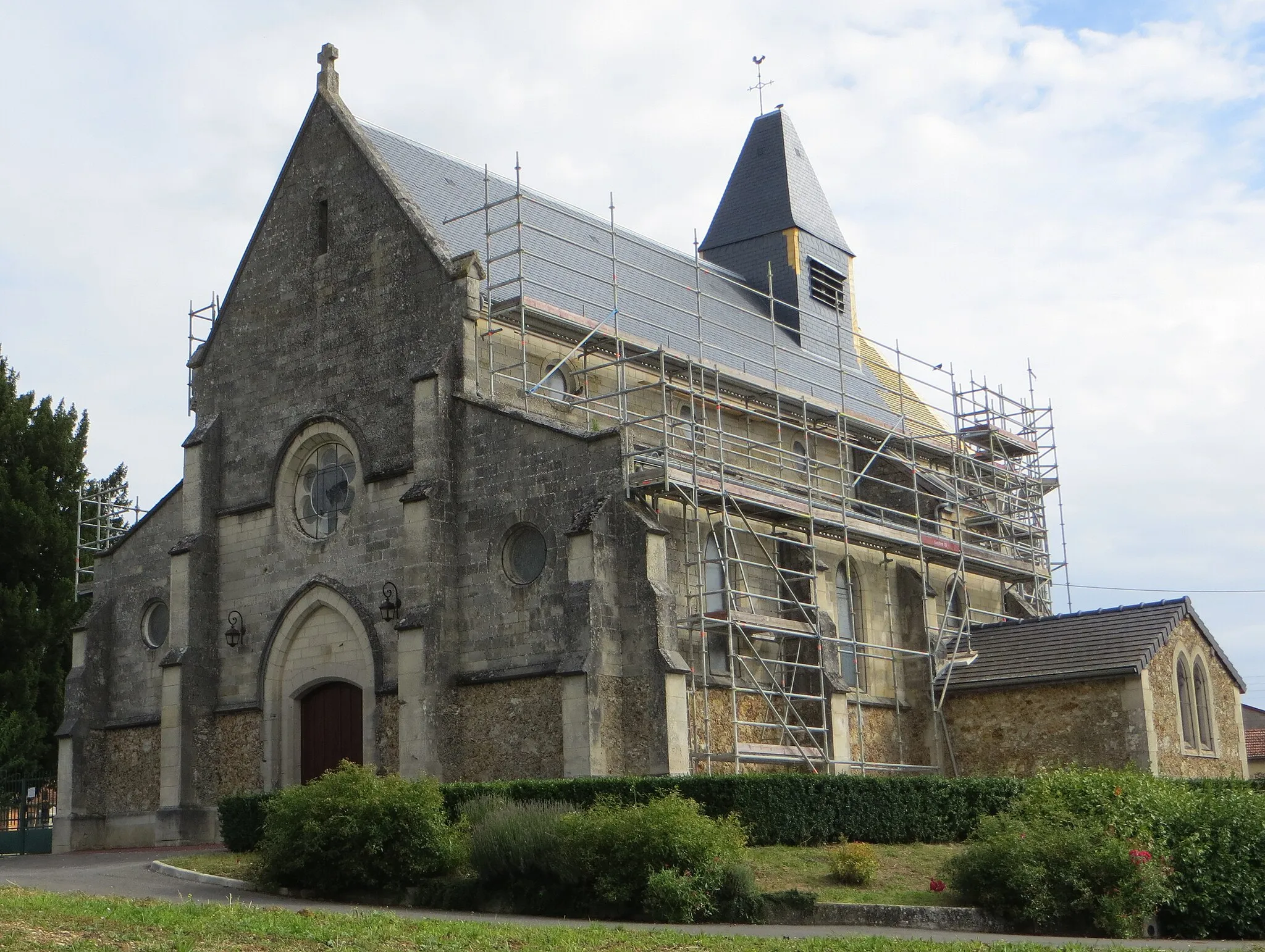
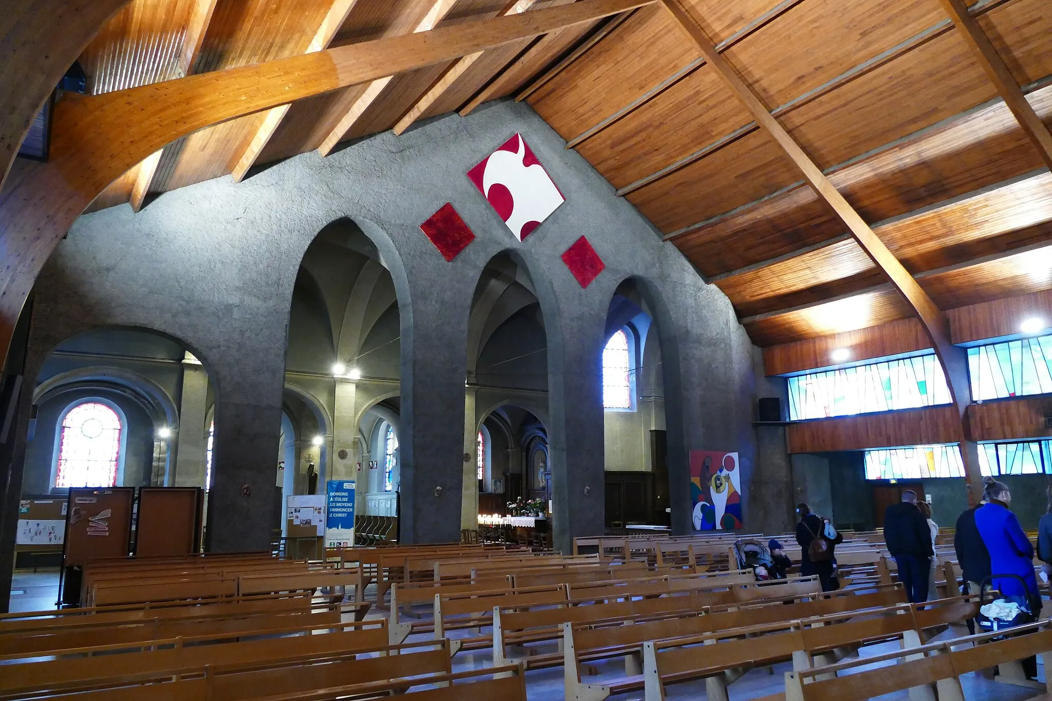
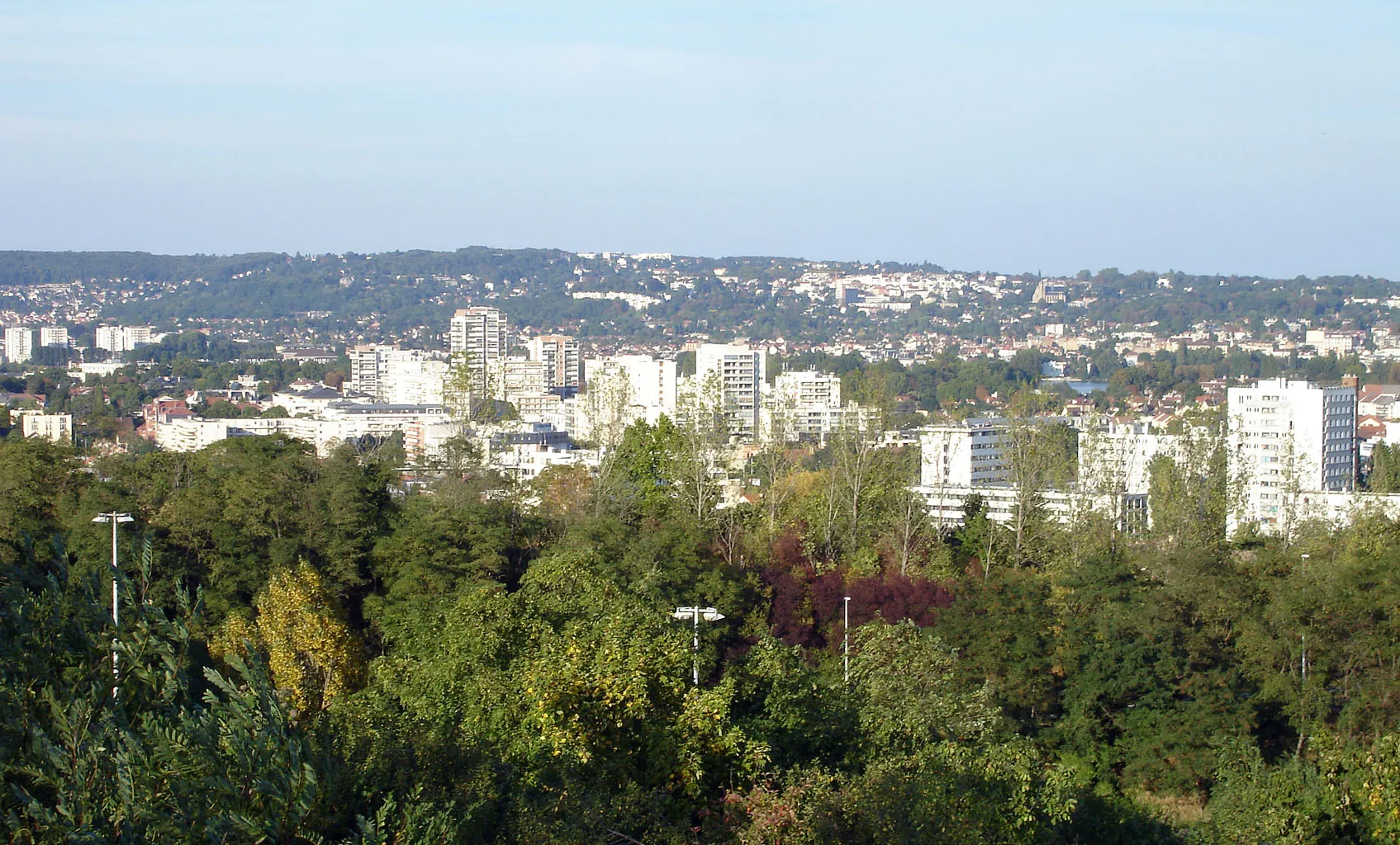
Deuil-la-Barre is a town located in the Ile-de-France region of France. It offers a mix of urban and rural cycling opportunities. Cyclists can explore the city streets or venture out onto the surrounding countryside. Nearby destinations like Montmorency provide hilly routes for those seeking more challenging rides. While there are no famous cycling spots in Deuil-la-Barre, its proximity to Paris and other popular cycling areas makes it a convenient base for cyclists to explore the region. Overall, Deuil-la-Barre provides a versatile range of cycling options for riders of all levels.
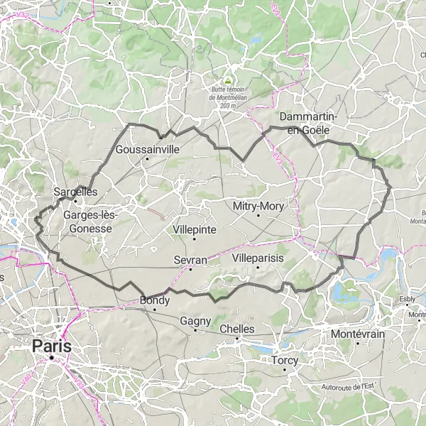
The Gonesse Epic
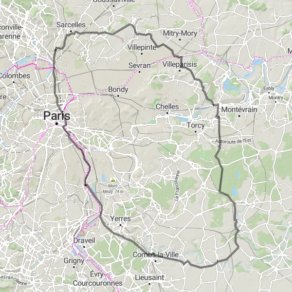
Embark on an epic journey through Gonesse and Villeparisis on this road route
Discover the hidden gems of Gonesse and Villeparisis in this epic road route. With a total ascent of 548m and a distance of 126km, this challenging ride offers cyclists a chance to explore the diverse landscapes of the region.
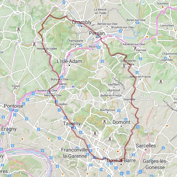
Cycle through Auvers-sur-Oise and Château du Duc de Dino on this gravel route
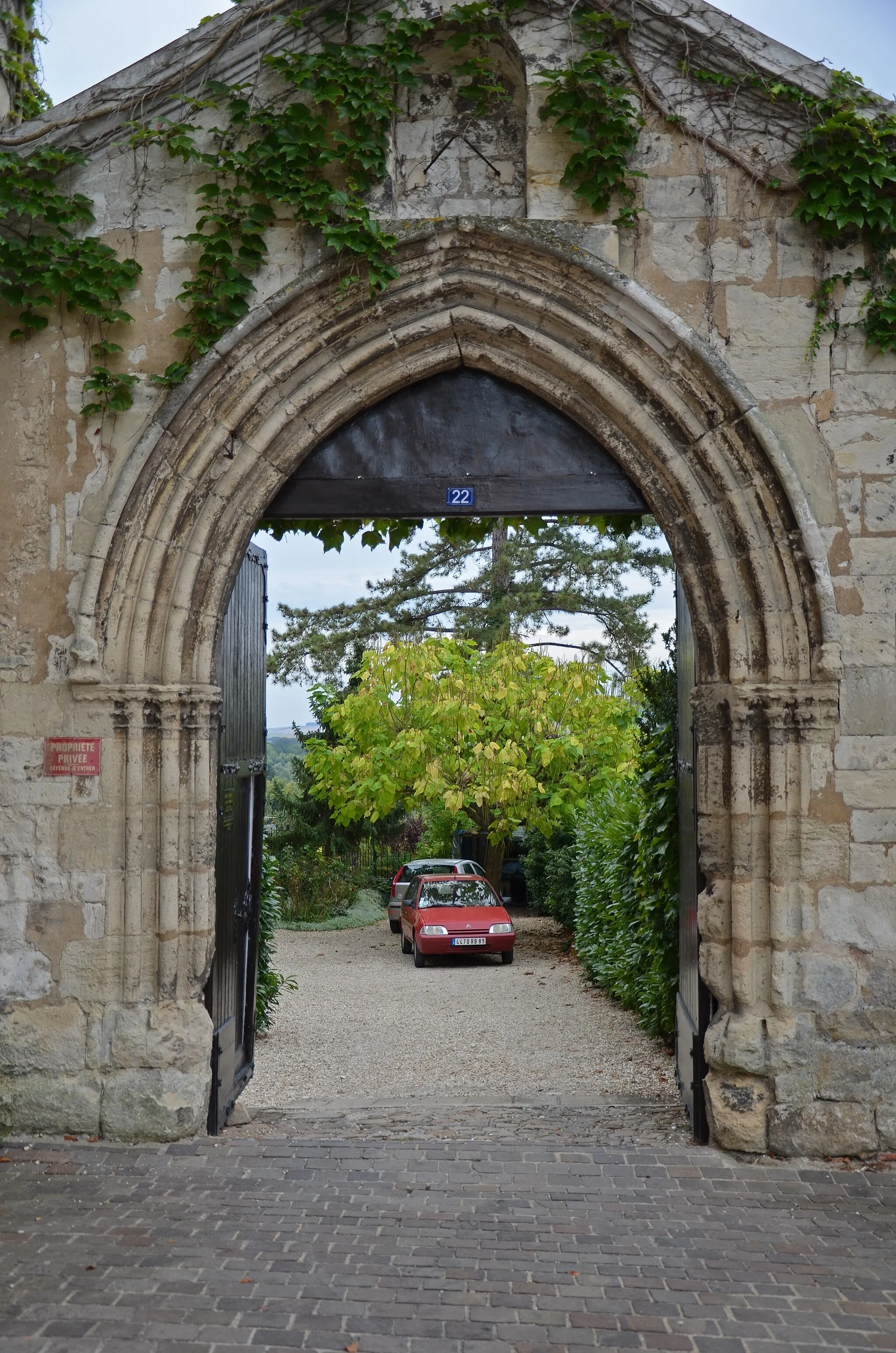
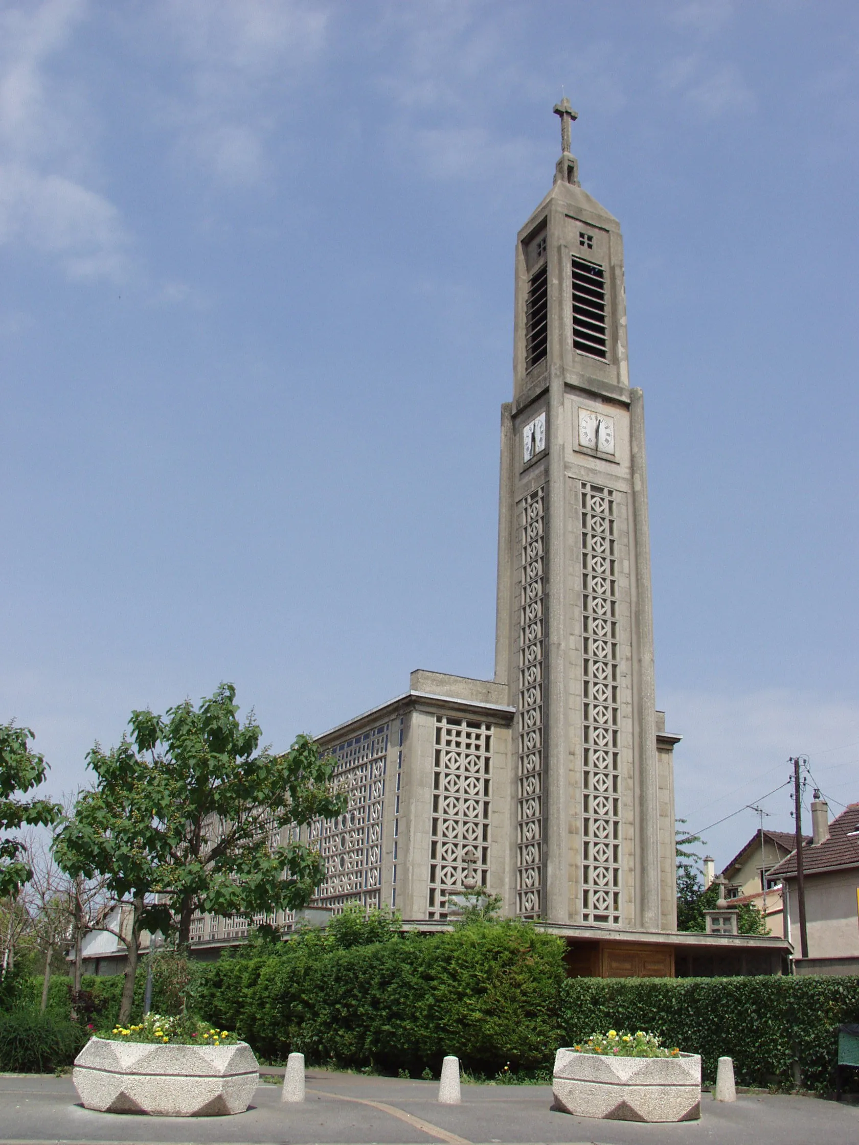
Experience the beauty of Auvers-sur-Oise and visit the stunning Château du Duc de Dino on this scenic gravel route. With a total ascent of 652m and a distance of 71km, this challenging ride is perfect for riders looking for a mix of historical sites and natural landscapes.
Enjoy a leisurely gravel ride to the charming towns of Stains and Villiers-le-Bel.
Take a leisurely gravel ride covering a distance of 38 kilometers, with an ascent of 198 meters. This relaxed route is perfect for beginners or cyclists seeking a more laid-back adventure. Explore the picturesque landscapes and discover the unique charm of Stains and Villiers-le-Bel.
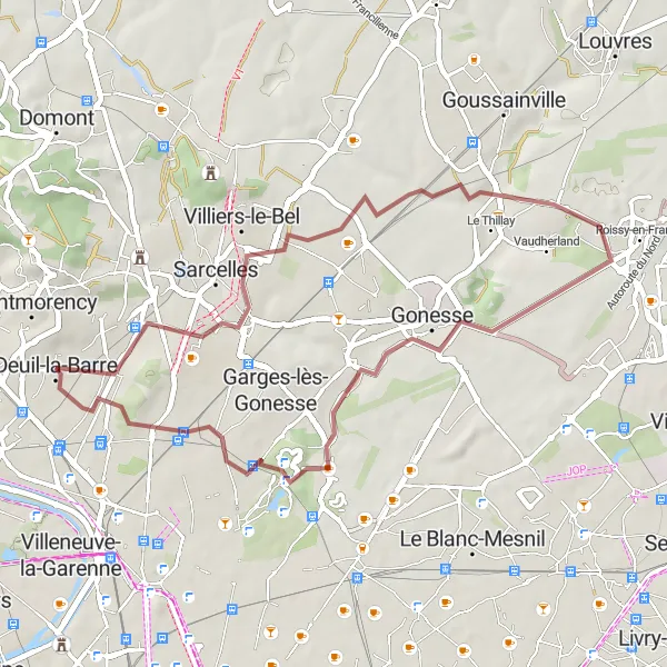
Conquer a challenging road cycling loop, passing through Domont and Sarcelles.
Prepare for a demanding road cycling experience covering 85 kilometers, with an ascent of 625 meters. This route is perfect for experienced cyclists seeking an intense physical challenge and the opportunity to immerse themselves in beautiful landscapes and cultural attractions.
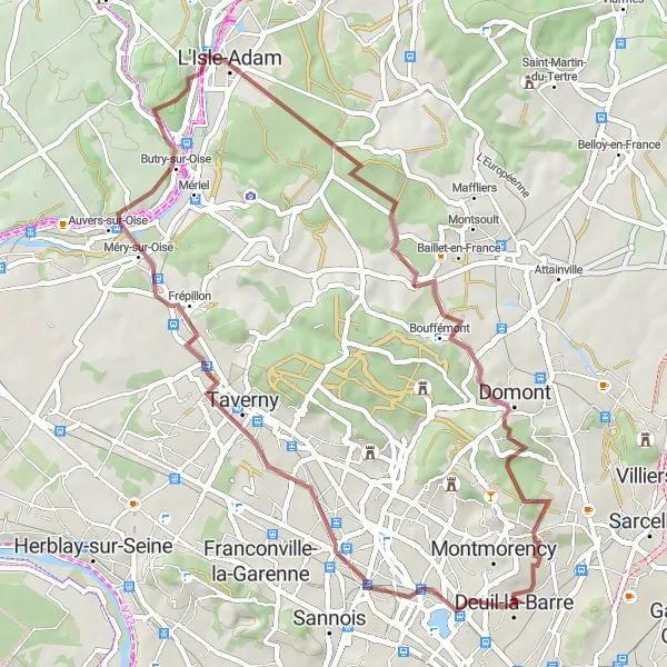
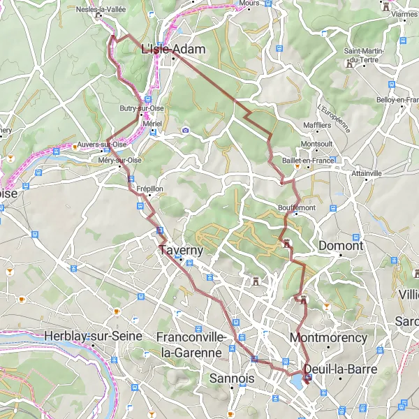
The Montmorency Loop
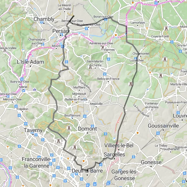
Experience the beauty of Montmorency and Deuil-la-Barre on this road route
Explore the beautiful landscapes of Montmorency and discover charming Deuil-la-Barre on this picturesque road route. With a total ascent of 566m and a distance of 66km, this intermediate-level ride is perfect for cyclists looking for a scenic and challenging adventure.
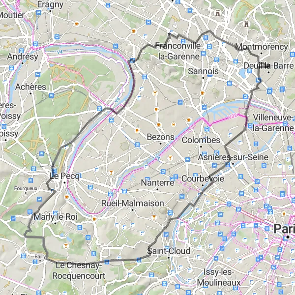
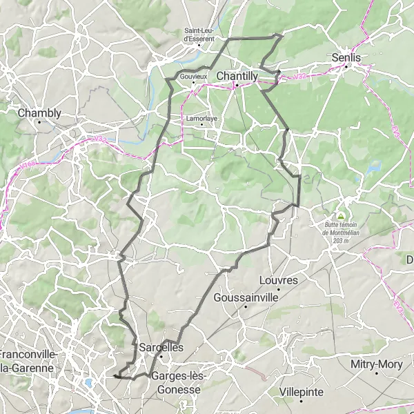
Embark on an adventurous road cycling journey through Montmorency and Le Chesnay.
This thrilling road cycling route spans 70 kilometers with an ascent of 558 meters, offering a mix of natural beauty and urban landscapes. Suitable for well-trained amateurs, this route welcomes cyclists to explore historical landmarks and enjoy scenic views.
The Sarcelles Loop
Cycle through Sarcelles and Saint-Denis on this road route
Experience the vibrant city of Sarcelles and explore the historic town of Saint-Denis in this challenging road route. With a total ascent of 629m and a distance of 99km, this route is best suited for well-trained amateur cyclists.
Set off for a scenic gravel ride to the quaint towns of Auvers-sur-Oise and L'Isle-Adam.
Embark on a picturesque gravel ride covering a distance of 50 kilometers, with an ascent of 536 meters. This route offers stunning natural sceneries and visits to two charming towns. It is suitable for experienced cyclists seeking a moderate to challenging adventure.
Discover the gravel roads around Valmondois on this adventurous route
Embark on an adventurous ride through the gravel roads near Valmondois. With a total ascent of 541m and a distance of 51km, this challenging gravel route is perfect for cyclists looking to explore off-the-beaten-path trails.
Explore the scenic Haute-Vallée de l'Oise on this exciting gravel route.
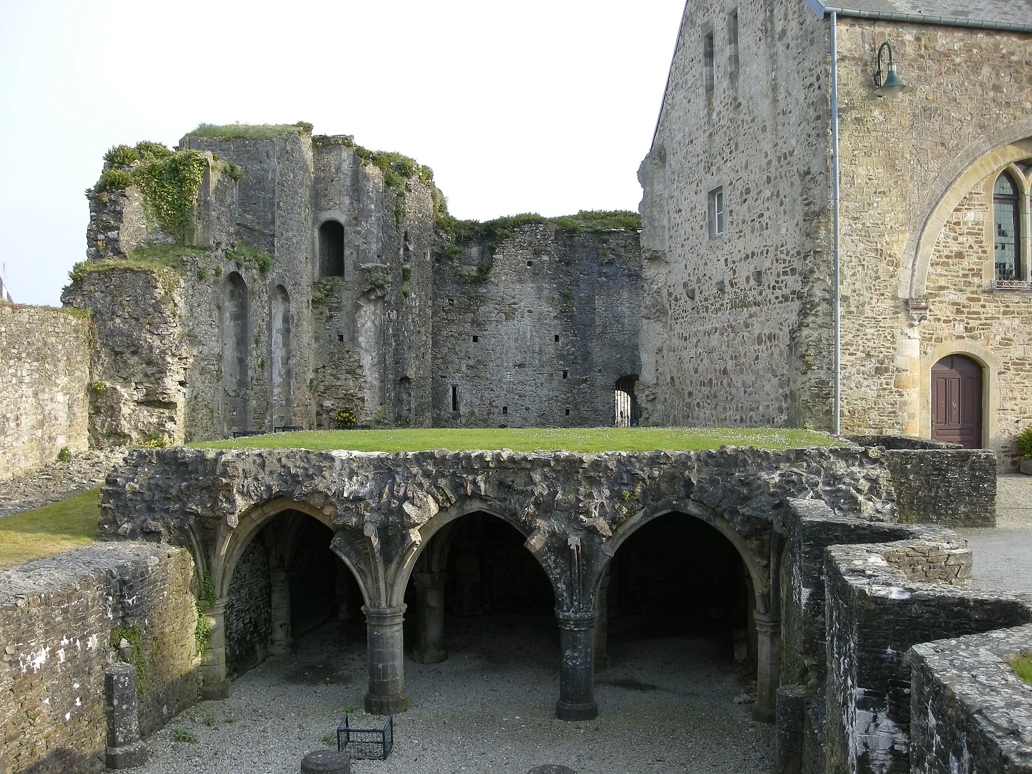
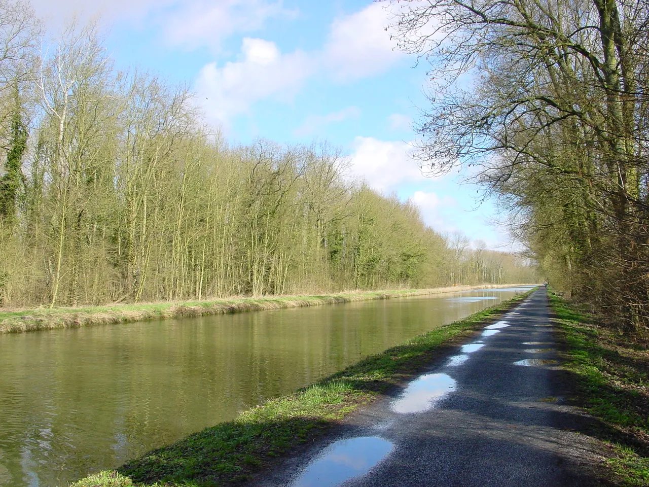
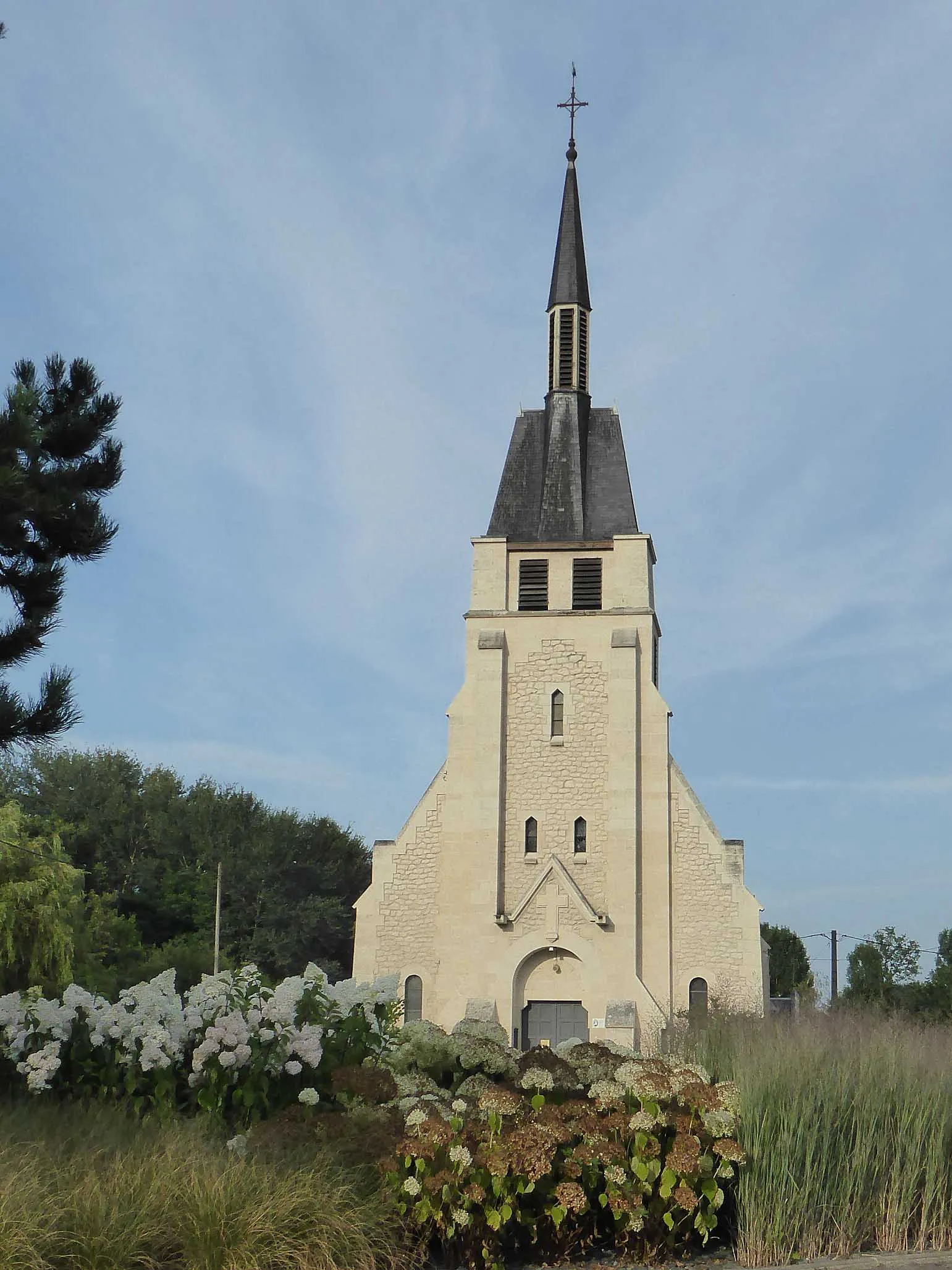
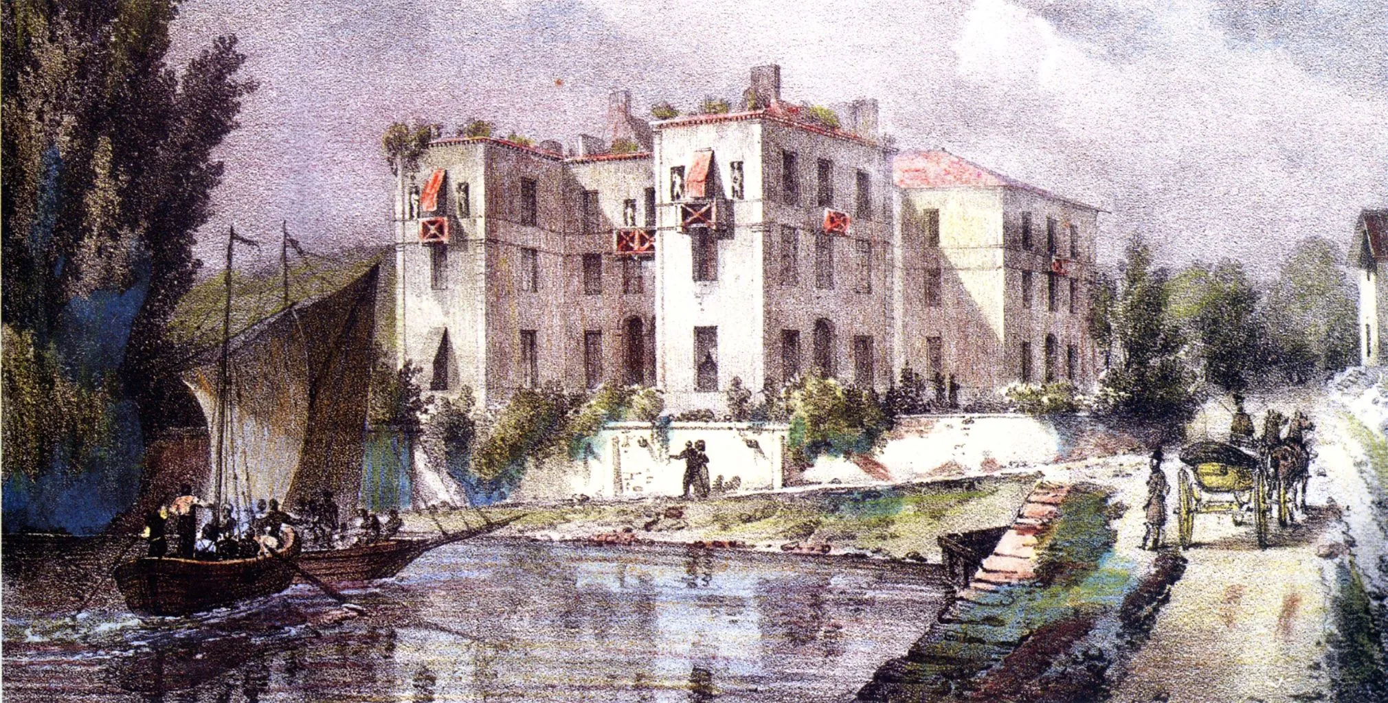
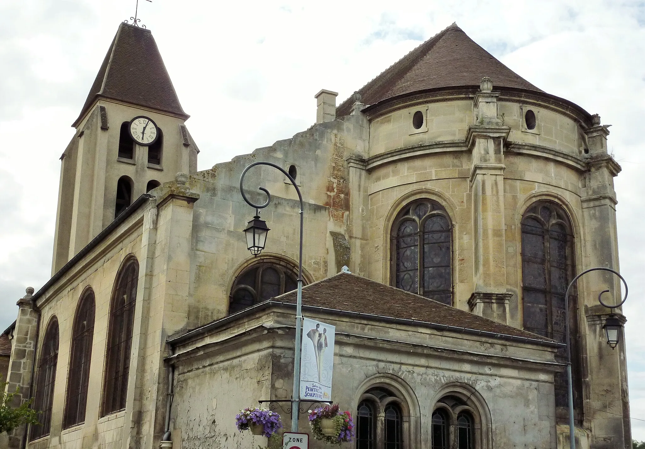
This route takes you through the beautiful Haute-Vallée de l'Oise region, offering stunning views of the river and surrounding countryside. With a total ascent of 210 meters and a distance of 53 kilometers, it is suitable for well-trained amateur cyclists. The route is rated 4 out of 5 for difficulty, providing a challenge without being excessively hard. Moreover, it has an epicness rating of 3 out of 5, making it an enjoyable adventure. The Haute-Vallée de l'Oise region is known for its picturesque landscapes, charming villages, and historical sites. Along the way, you will pass through the town of Épinay-sur-Seine, which offers a great view of the river and is worth a stop. Houilles is another highlight along the route, with its peaceful atmosphere and beautiful architecture. Les Terrasses, located at a distance of 32 kilometers, is a scenic spot where you can enjoy sweeping views of the valley. Conflans-Sainte-Honorine, situated at the same distance, is known for its charming canals and boat houses. Moving further, you will reach Ermont, an idyllic town with historic buildings and a lovely park. Finally, Château du Duc de Dino awaits you at the end of the route, offering a glimpse into the region's rich history and heritage. Overall, this gravel route provides an immersive experience in the Haute-Vallée de l'Oise, combining scenic beauty with historical charm. With its moderate difficulty level and attractive highlights, it is perfect for cyclists looking for an enjoyable and rewarding adventure.
Cycling routes nearby:


Nearby regions: