Exploring Urban Landscapes by Bike in Évry
Cycling routes from Evry
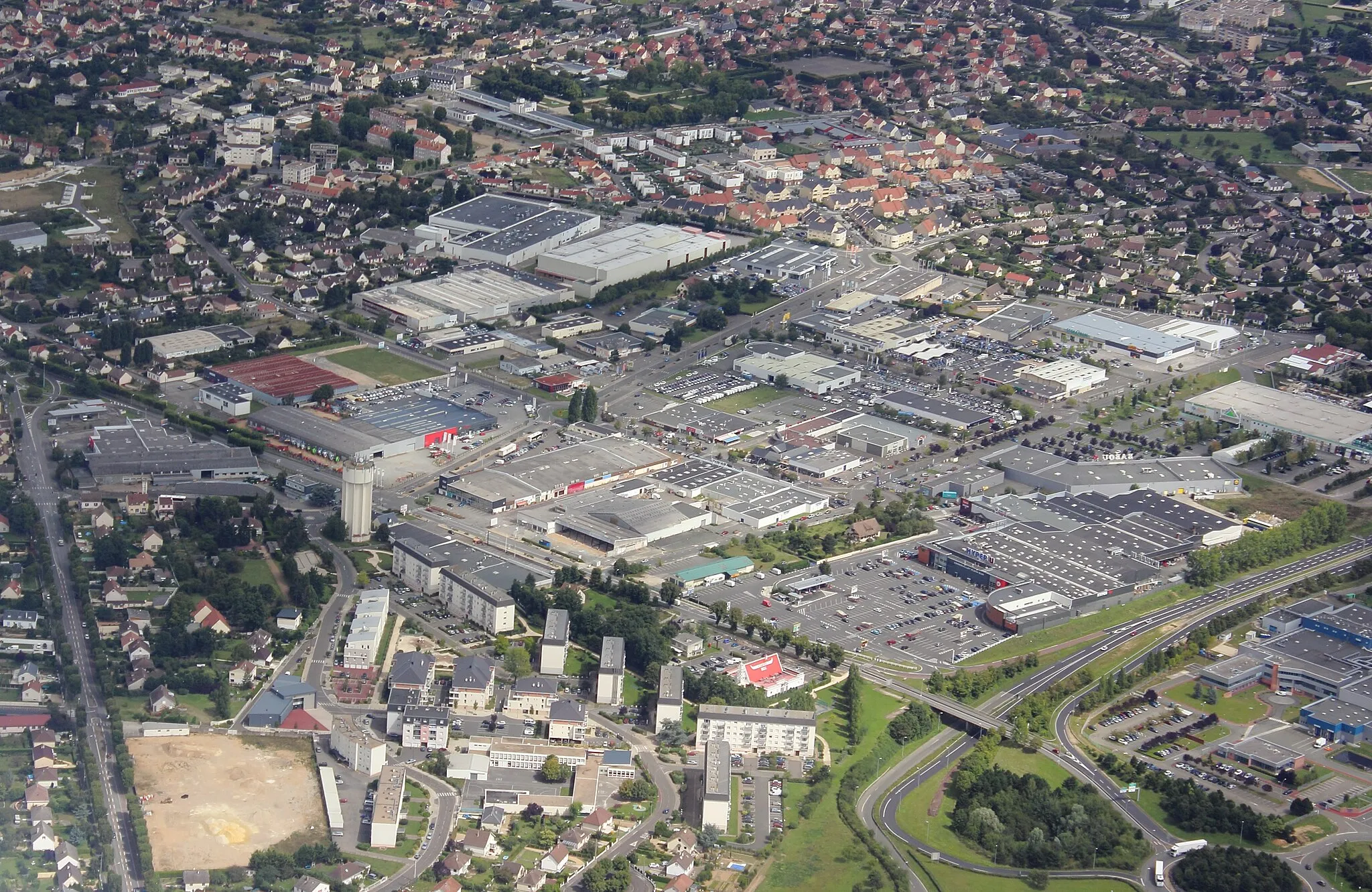
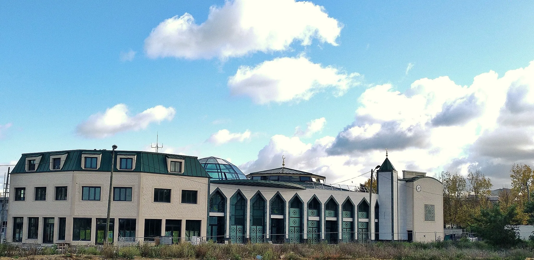
Évry is a city in the Ile-de-France region of France. As a road and gravel cyclist, Évry offers mixed terrain with mostly flat routes and some rolling hills, making it suitable for various skill levels. Cycling in the area provides opportunities to experience the suburban landscapes of the region. Located near numerous parks and green spaces, Évry enables cyclists to enjoy nature in an urban setting. While not known for legendary climbs or iconic cycling spots, Évry offers a pleasant cycling experience for beginners or recreational riders.
Évry Loop

A scenic road cycling route starting from Évry
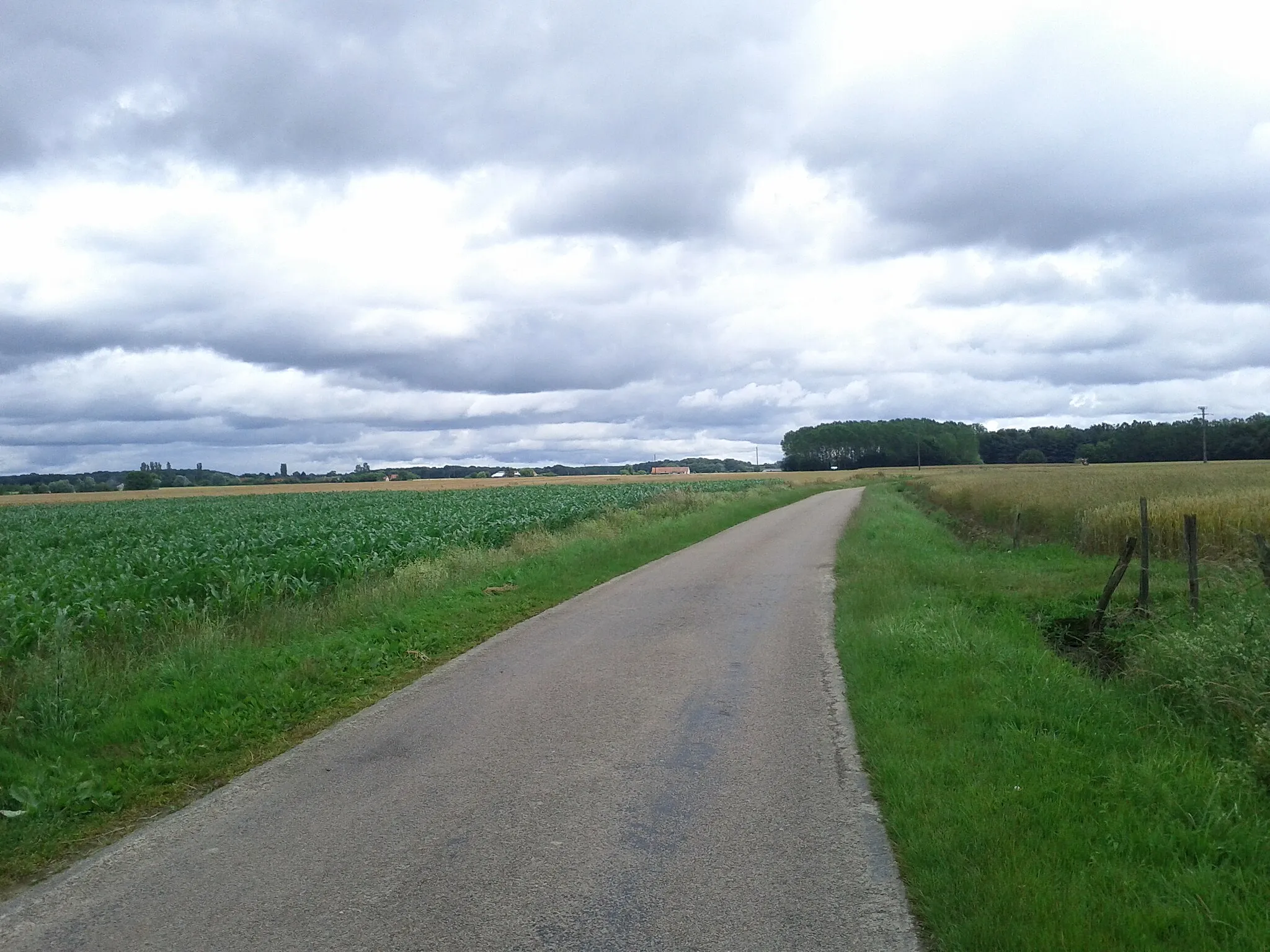
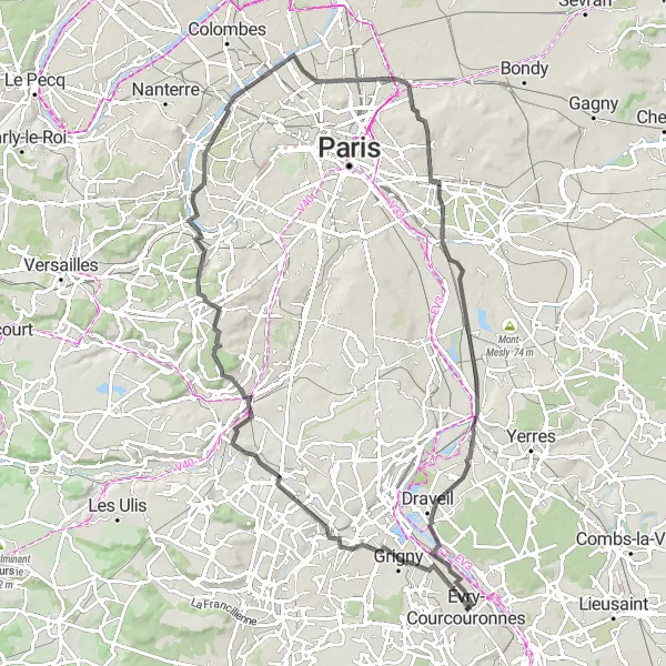
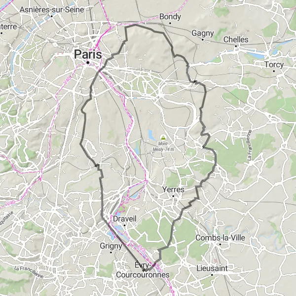
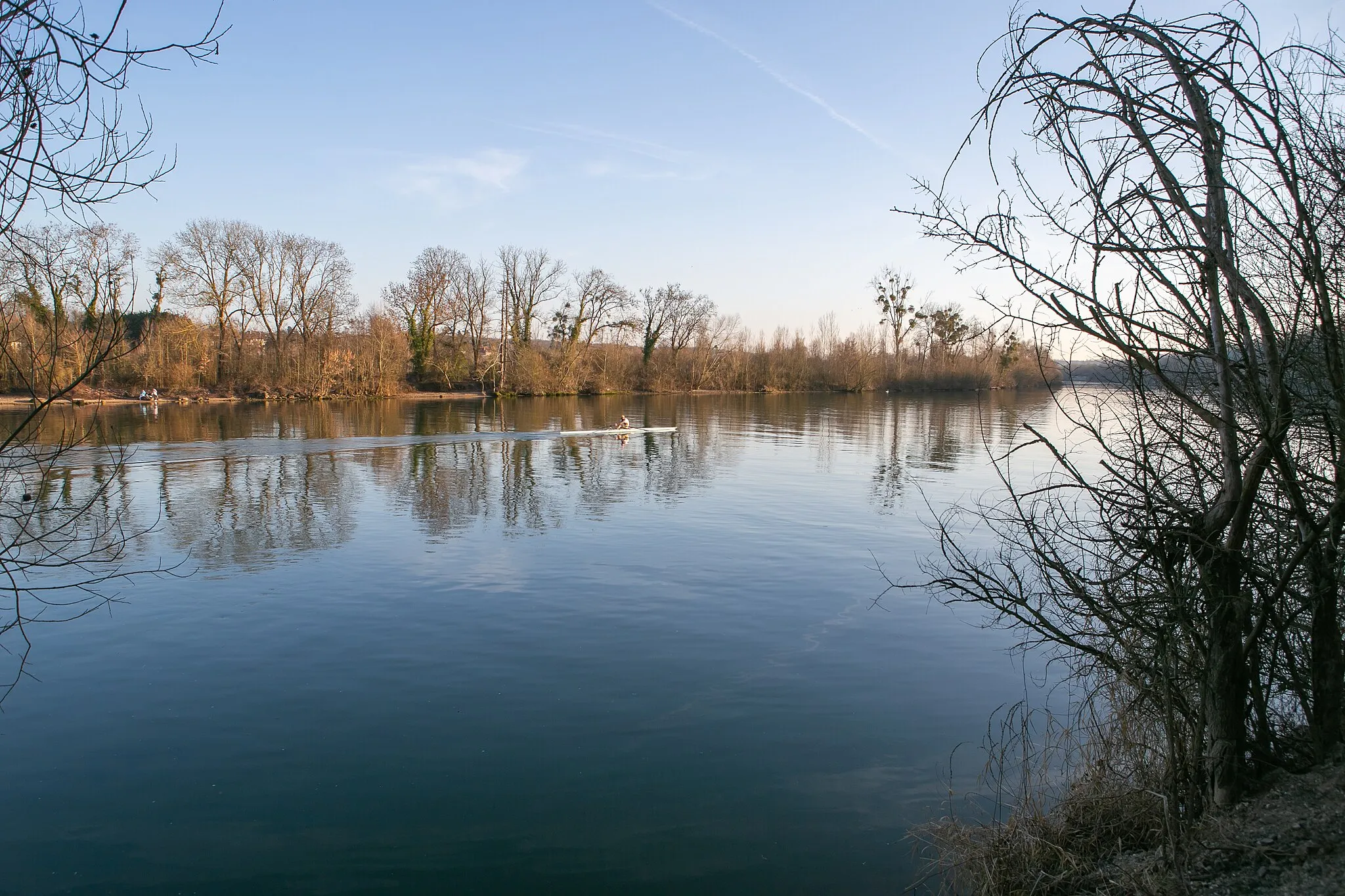
The Évry Loop is a beautiful road cycling route starting near Évry in the Île-de-France region of France. This 132 km route takes cyclists through stunning countryside and charming towns, offering a mix of challenging climbs and enjoyable descents. With a total ascent of 578 meters, this route promises a rewarding and exhilarating cycling experience for well-trained amateurs. Along the way, cyclists can enjoy the picturesque landscapes and discover several highlights that add to the charm of the journey.

Discover the charm of Brunoy on this scenic road cycling route
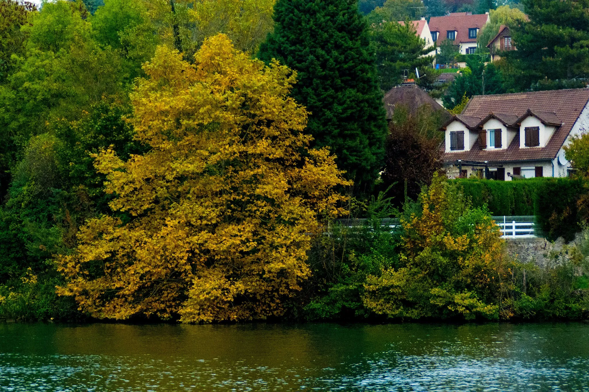
This road cycling route takes you from Évry to Brunoy, offering picturesque views of the surrounding countryside. The route includes highlights such as Pontault-Combault and Tournan-en-Brie. With a total ascent of 429 meters over a distance of 95 kilometers, this route is suitable for experienced cyclists.
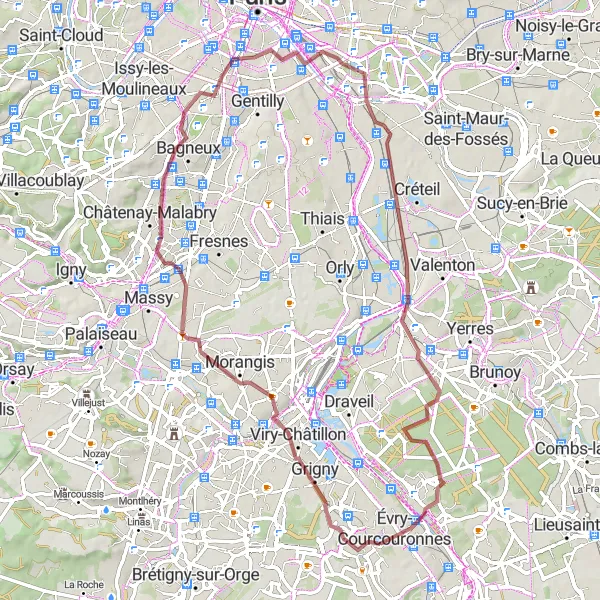
Embark on an exciting gravel adventure from Évry to Viry-Châtillon
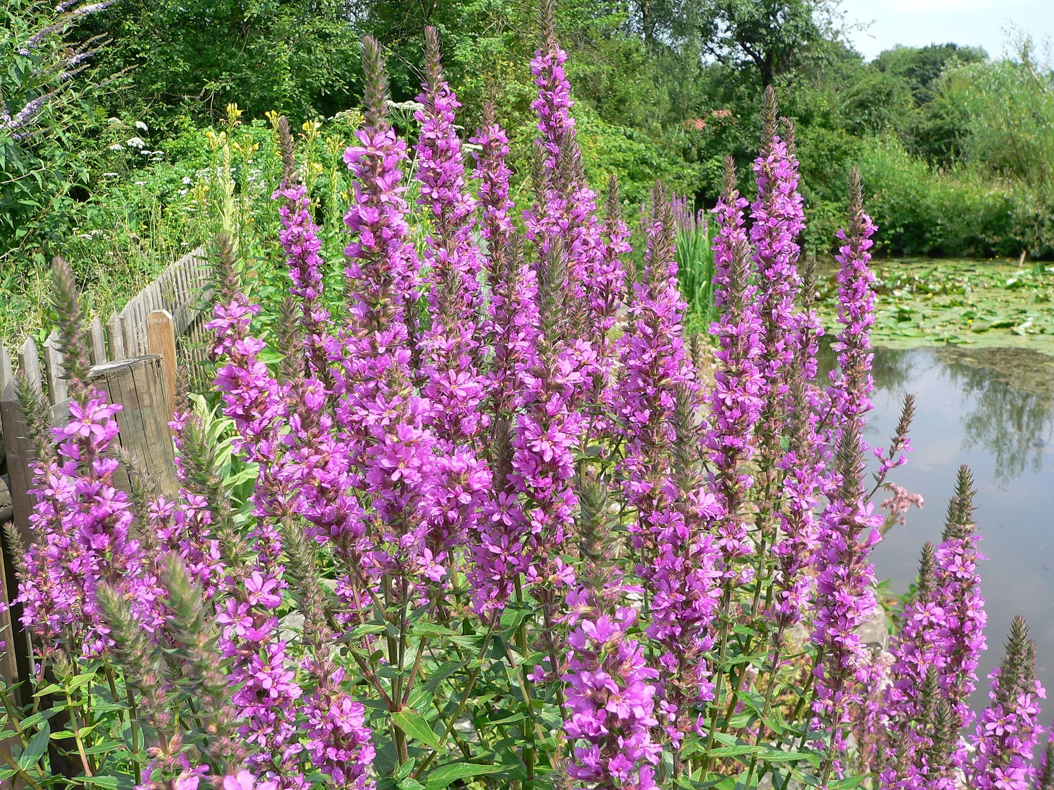
This gravel cycling route takes you from Évry to Viry-Châtillon, offering a mix of off-road trails and quiet country roads. The route includes highlights such as Châtenay-Malabry and Temple Grec. With a total ascent of 422 meters over a distance of 69 kilometers, this ride is suitable for experienced gravel riders.

Discover the stunning valleys of Orge on this gravel cycling route.
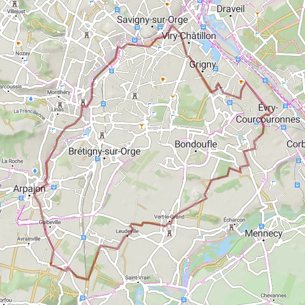
Immerse yourself in the beautiful natural scenery of Orge as you cycle through its picturesque valleys. This 61-kilometer gravel route offers a moderate challenge with a total ascent of 287 meters. Highlights along the way include the charming town of Savigny-sur-Orge, the cultural hub of Palaiseau, and the scenic trails of Orsay. Cyclists can also stop by the historic town of Épinay-sur-Orge, the vibrant Viry-Châtillon, and the tranquil landscapes of Ris-Orangis.
Valley Tour of Île-de-France
Explore the beautiful valleys of Île-de-France on this road cycling route.
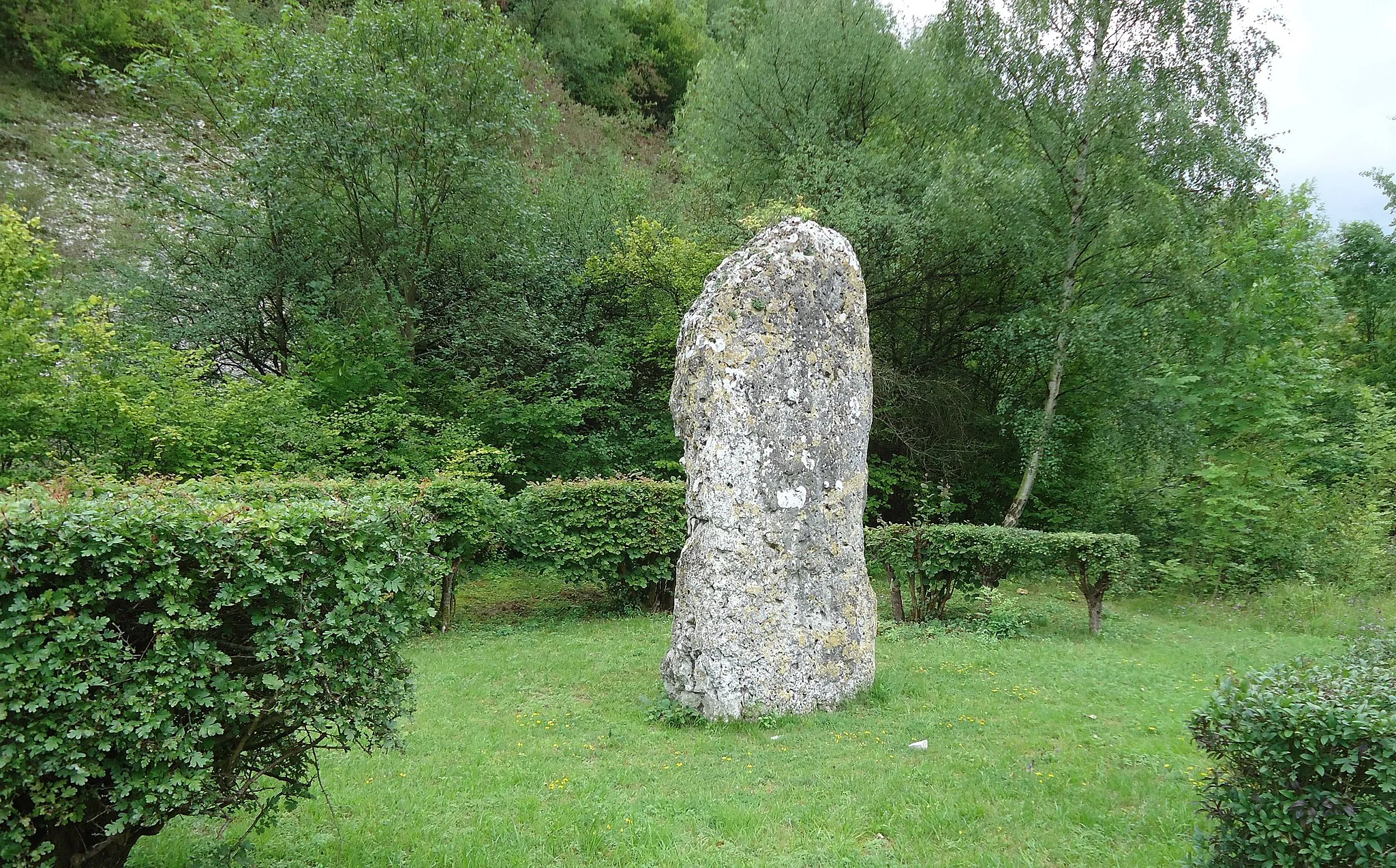
Embark on a scenic journey through the valleys of Île-de-France, cycling alongside picturesque rivers and charming villages. This route offers a moderate challenge with a total ascent of 589 meters over a distance of 90 kilometers. Riders will be rewarded with stunning views of the Ris-Orangis river, historic sites in Longjumeau, and the cityscape of Saint-Cloud. Highlights along the way include the adorable turtles at a conservation area, the impressive Temple Grec, and the panoramic views from Table d'Orientation. Cyclists can also visit the magnificent Château de Trousseau and the quaint town of Villeneuve-Saint-Georges.
Immerse yourself in the green landscapes of Essonne on this gravel cycling route.
Escape the hustle and bustle of urban life as you explore the green landscapes of Essonne. This gravel route covers a distance of 65 kilometers with a total ascent of 335 meters, offering a moderate challenge suitable for experienced gravel riders. Highlights along the route include the captivating Saint-Michel-sur-Orge, the picturesque town of Marcoussis, and the serene surroundings of Gif-sur-Yvette. Cyclists can also visit the historic town of Longjumeau and the vibrant Ris-Orangis.
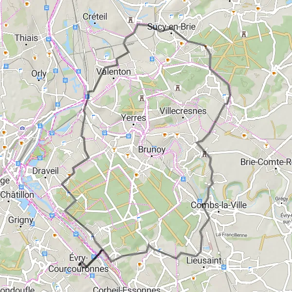
Discover the beauty of Soisy-sur-Seine on this scenic road cycling route
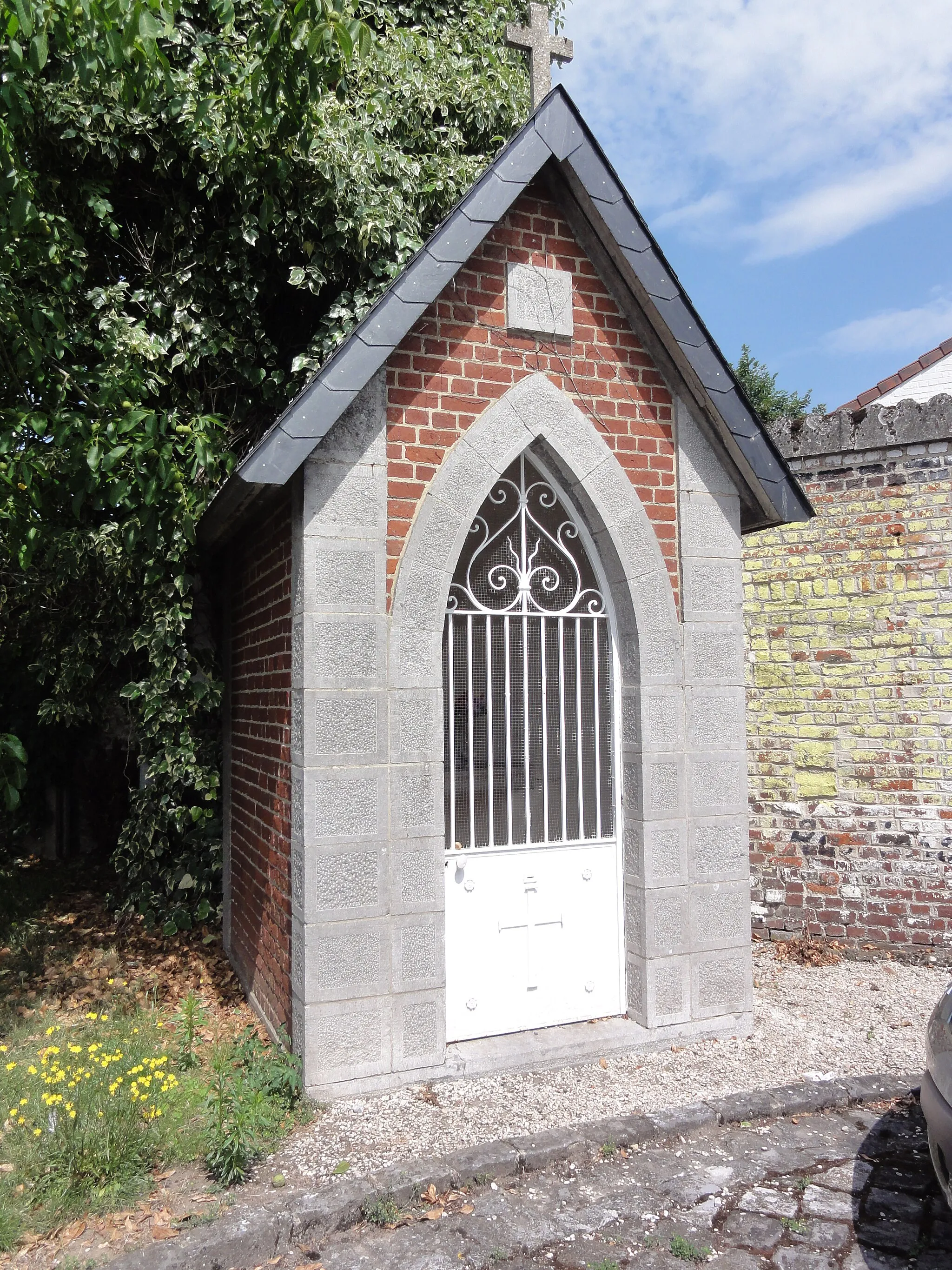
This road cycling route takes you from Évry to Soisy-sur-Seine, offering stunning views of the surrounding countryside. The route includes highlights such as Villeneuve-Saint-Georges and Sucy-en-Brie. With a total ascent of 268 meters over a distance of 55 kilometers, this route is suitable for all levels of cyclists.
Évry to Ris-Orangis Loop
Cycle through Ris-Orangis and enjoy the scenic views
This road cycling route takes you from Évry to Ris-Orangis, offering beautiful views of the Vallées de l'Orge et de la Seine. The route includes a climb up Butte de Coupeaux and a visit to Bastille and Fort de Champigny. The total ascent is 610 meters over a distance of 83 kilometers.
Embark on a thrilling gravel adventure as you explore the stunning countryside of Essonne.
Take in the natural beauty of Essonne as you ride through the diverse landscapes of the region. This gravel route covers a distance of 53 kilometers with a total ascent of 184 meters, offering a moderate challenge suitable for experienced gravel riders. Cyclists will start and end in Évry, passing through the enchanting town of Marolles-en-Hurepoix and the historic Arpajon. Highlights of the route include the unique architecture and charm of Saint-Michel-sur-Orge and the picturesque scenery of Ris-Orangis.
Évry to Mennecy Gravel Ride
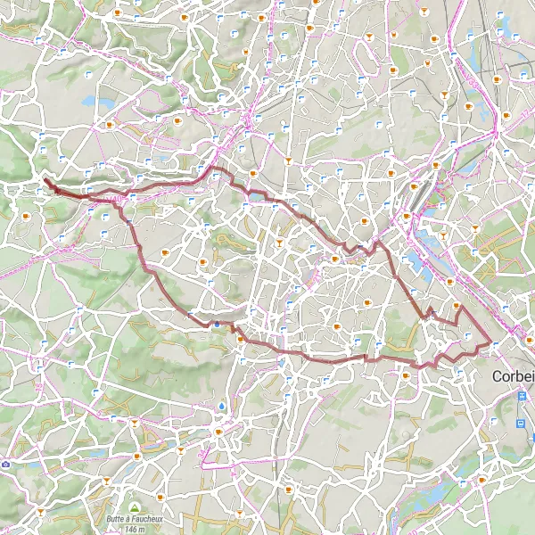
Embark on a gravel adventure from Évry to Mennecy
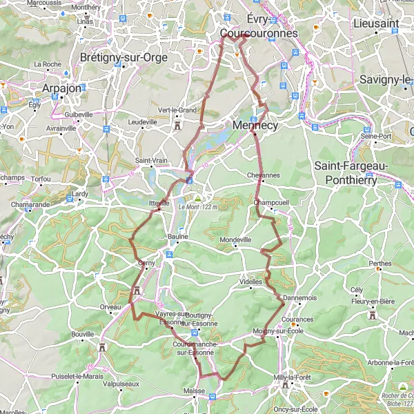
This gravel cycling route takes you from Évry to Mennecy, offering a mix of off-road trails and quiet country roads. The route includes highlights such as Champcueil and Courdimanche-sur-Essonne. With a total ascent of 544 meters over a distance of 72 kilometers, this ride is suitable for experienced gravel riders.
Cycling routes nearby:
Nearby regions: