A peaceful cycling retreat in Ile-de-France.
Cycling routes from Jouars-Pontchartrain
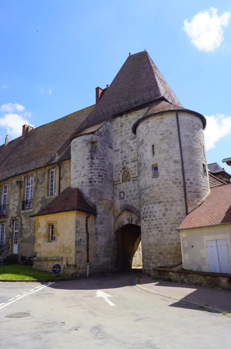
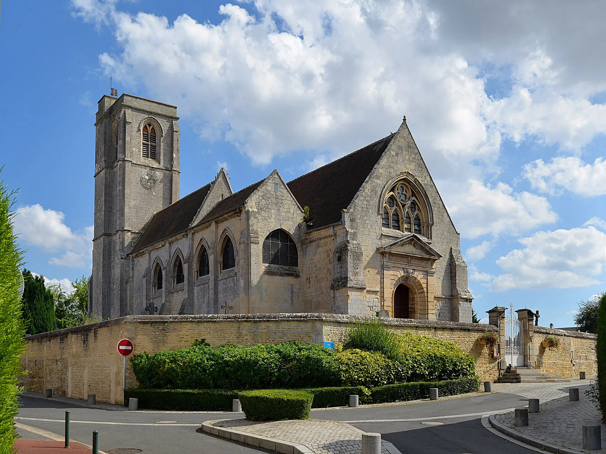
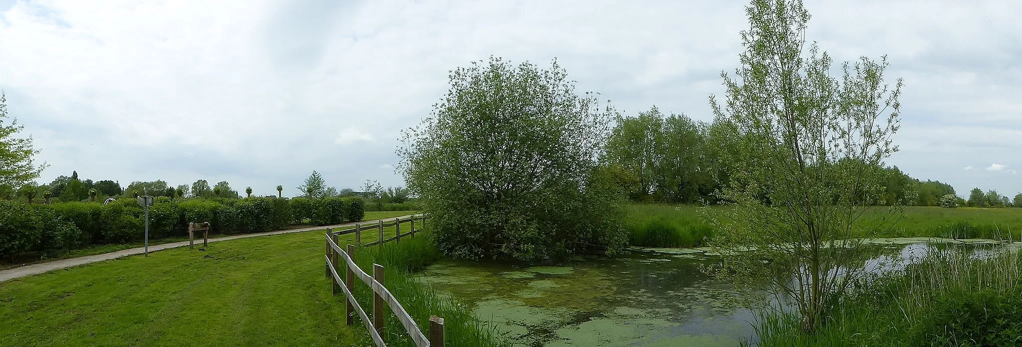
Jouars-Pontchartrain is a locality situated in the Ile-de-France region of France. While it may not offer as many cycling-specific amenities as other areas, it provides a peaceful and scenic environment for road and gravel cycling. Cyclists can explore the local countryside, enjoying the picturesque landscapes and rolling hills. Despite the lack of famous cycling spots or well-known climbs nearby, Jouars-Pontchartrain offers a charming and tranquil cycling experience for those looking to escape the hustle and bustle of the city.
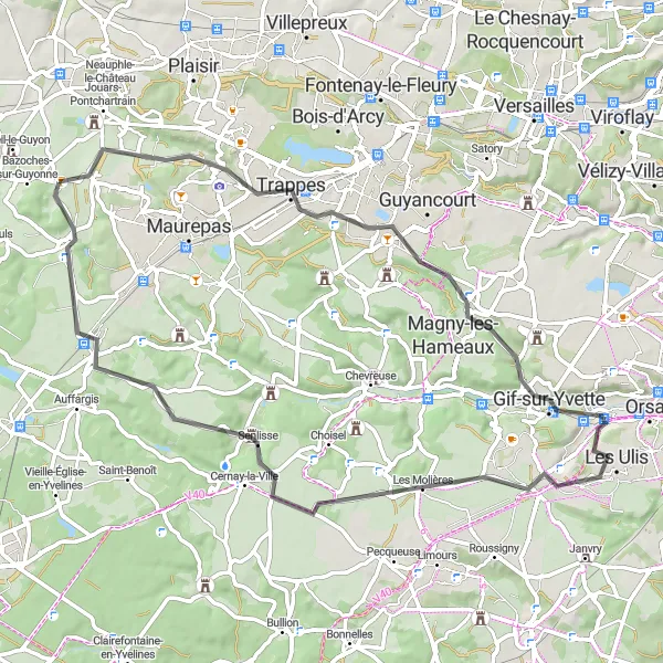
Experience the beauty of the countryside on this scenic road tour
Immerse yourself in the stunning natural landscapes and cultural highlights on this 64 km road tour near Jouars-Pontchartrain. With moderate difficulty and a mix of flat and hilly sections, this route is ideal for well-trained amateur cyclists looking for a picturesque ride. Enjoy the charming towns, peaceful forests, and remarkable views along the way.

Bike through the charming Yvelines region
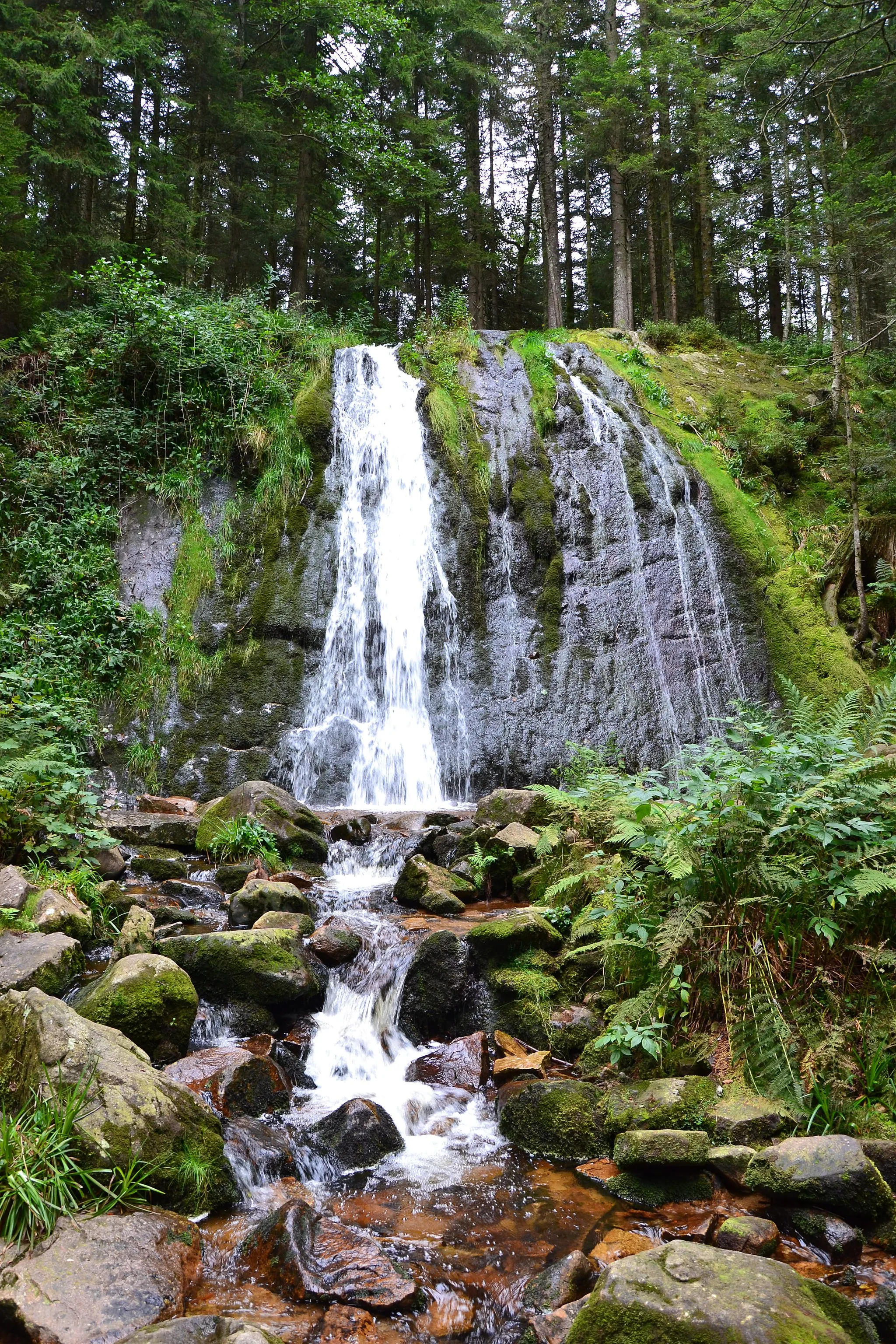
Explore the picturesque Yvelines region with this scenic cycling route. With a total distance of 68 km and an ascent of 468 m, this route offers a mix of rolling terrain and scenic landscapes. The route takes you through the idyllic towns of Les Essarts-le-Roi, Le Perray-en-Yvelines, Gazeran, Gambaiseuil, La Queue-les-Yvelines, and Neauphle-le-Vieux, showcasing the rich history and cultural beauty of the region. Experience the joy of cycling through quaint villages, lush forests, and charming countryside. This route is suitable for well-trained amateurs looking for a satisfying cycling adventure.
The Gravel Escape
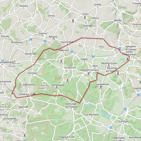
A scenic gravel route through charming villages and rolling landscapes
Escape into nature on this scenic 54 km gravel route near Jouars-Pontchartrain. With an ascent of 437 meters, you'll experience picturesque countryside and charming villages. Highlights include Bazoches-sur-Guyonne, Condé-sur-Vesgre, Millemont, and Saulx-Marchais before returning to Jouars-Pontchartrain.
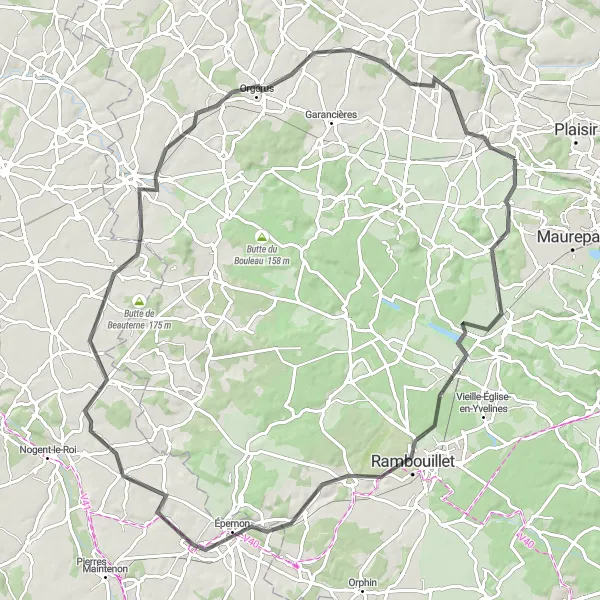
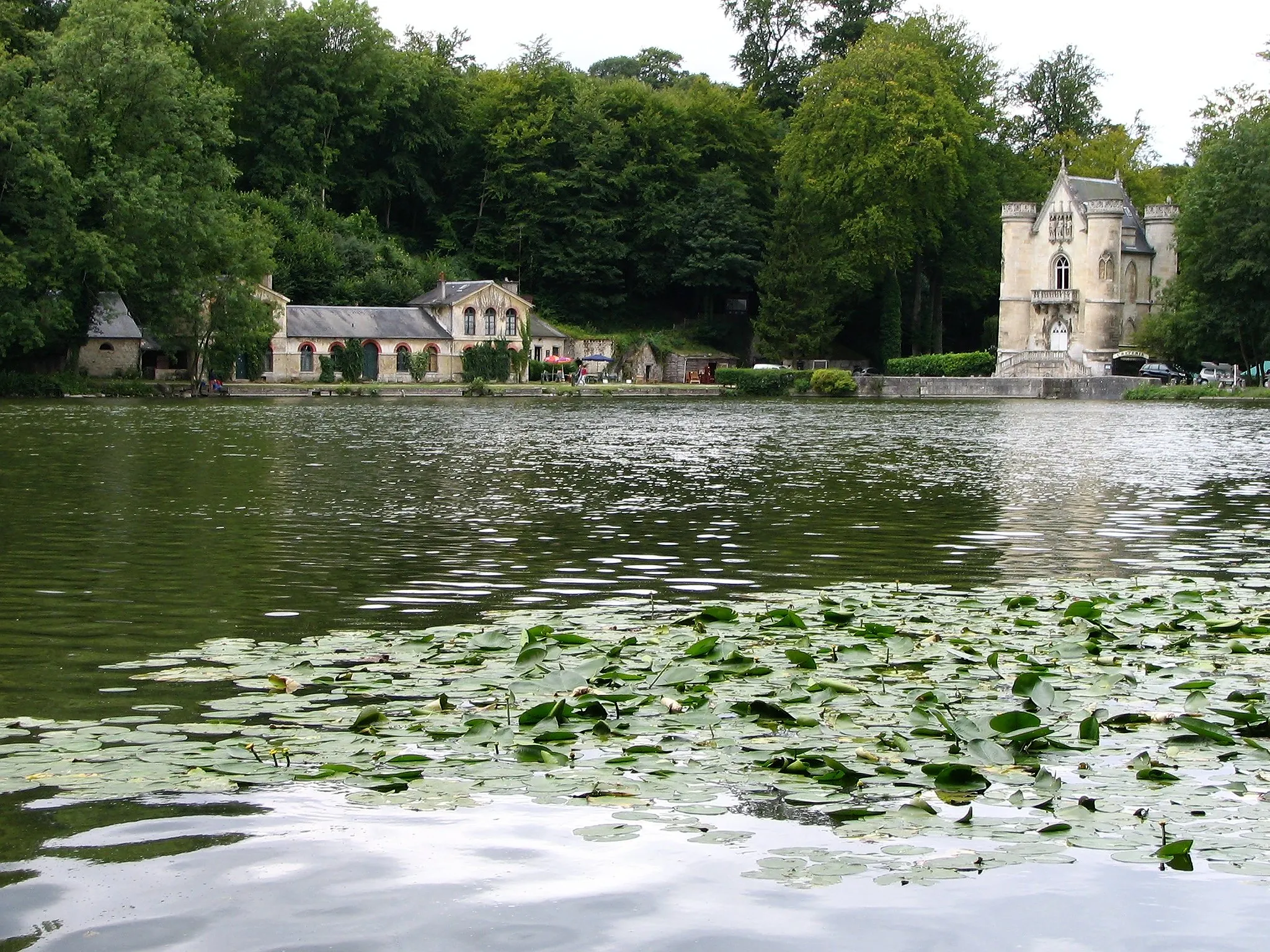
Embark on a grand road tour featuring majestic châteaux and breathtaking landscapes
Take on the challenge of a 94 km road tour near Jouars-Pontchartrain that combines stunning landscapes with magnificent châteaux. This route offers moderate difficulty and takes cyclists through picturesque countryside, grand estates, and charming villages. Immerse yourself in French history and be captivated by the enchanting beauty of the region.
The Road Discovery

Discover hidden gems and stunning viewpoints on this road cycling route
Explore the hidden gems and stunning viewpoints near Jouars-Pontchartrain on this 58 km road cycling route. With a climbing elevation of 531 meters, this ride offers a moderate challenge for cyclists who enjoy discovering unique landscapes. Highlights include Plaisir, Feucherolles, Désert de Retz, a panoramic view over Le Vésinet, La Défense and Paris, Louveciennes, Saint-Cyr-l'École, Trappes, and Colline d'Élancourt before returning to Jouars-Pontchartrain.
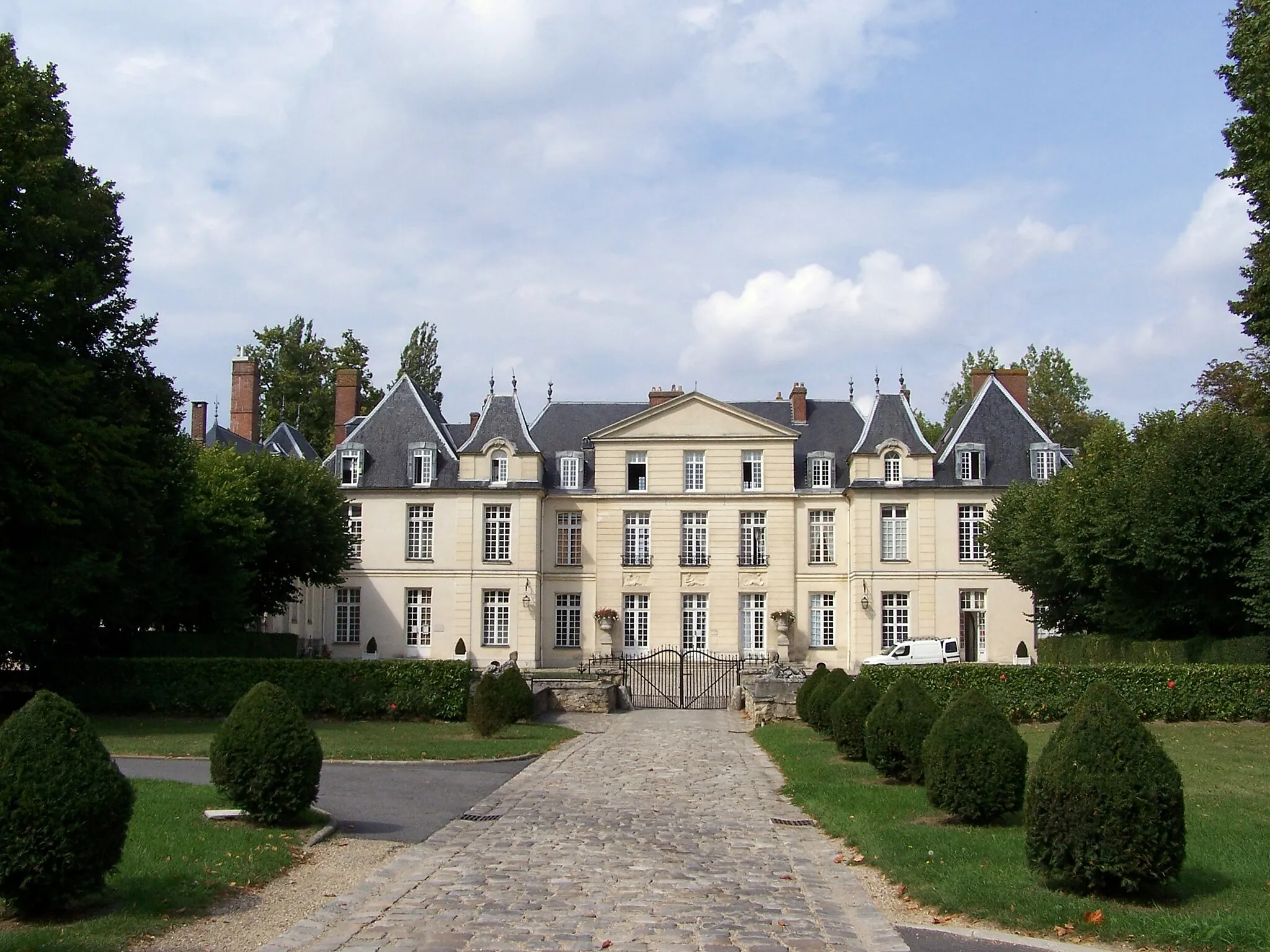
The Château Tour
Explore beautiful châteaux in the picturesque countryside near Jouars-Pontchartrain.
Embark on a scenic cycling adventure through the charming countryside near Jouars-Pontchartrain. This route, suitable for road biking enthusiasts, allows you to discover several magnificent châteaux along the way. Experience the rich history and architectural wonders of Neauphle-le-Château, Auffargis, Orphin, Poigny-la-Forêt, Château de Montfort-l'Amaury, and La Mauldrette. The route covers a total distance of 74 kilometers and involves an ascent of 416 meters, presenting a moderate level of challenge for well-trained amateur cyclists.

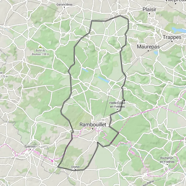
Discover hidden gems on this scenic gravel ride
Embark on a charming 39 km gravel ride near Jouars-Pontchartrain and uncover hidden gems along the way. With relatively low difficulty and stunning countryside scenery, this route is perfect for cyclists seeking a unique and off-the-beaten-path adventure. Explore picturesque towns, cycle through rolling hills, and enjoy the tranquility of the French countryside.

A thrilling gravel ride through picturesque countryside
Embark on an exciting gravel adventure starting near Jouars-Pontchartrain. This 76 km route is perfect for those looking for a unique cycling experience. With a climbing elevation of 485 meters, you'll be challenged with varied terrain and scenic landscapes. Enjoy highlights such as Neauphle-le-Château, Les Essarts-le-Roi, Sonchamp, Rambouillet, Saint-Léger-en-Yvelines, and finally, return to Jouars-Pontchartrain.
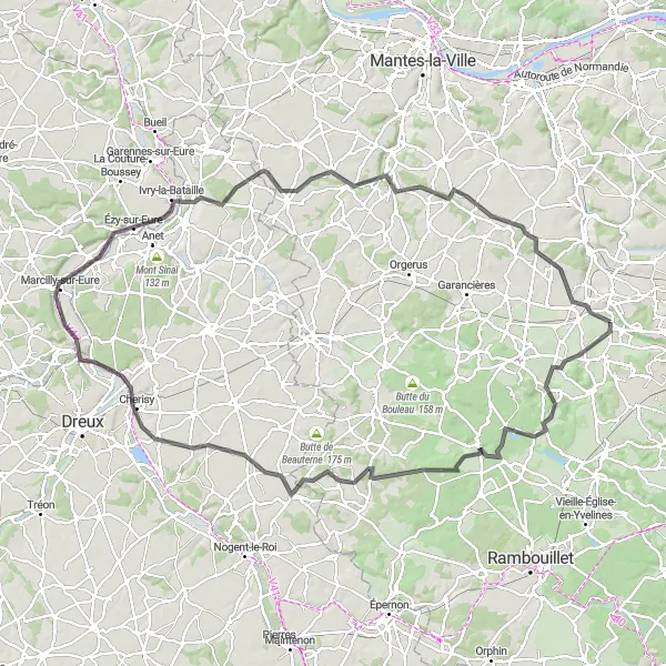
Conquer demanding terrain on this epic road cycling route
Experience an exhilarating road cycling journey starting near Jouars-Pontchartrain. This 118 km route is designed for experienced cyclists who enjoy challenging climbs and breathtaking sceneries. With an ascent of 727 meters, you'll face demanding terrain and enjoy highlights such as Bazoches-sur-Guyonne, Saint-Léger-en-Yvelines, Les Pinthières, Cherisy, Croth, Ivry-la-Bataille, Dammartin-en-Serve, and Neauphle-le-Vieux before returning to Jouars-Pontchartrain.
The Gravel Adventure 2.0
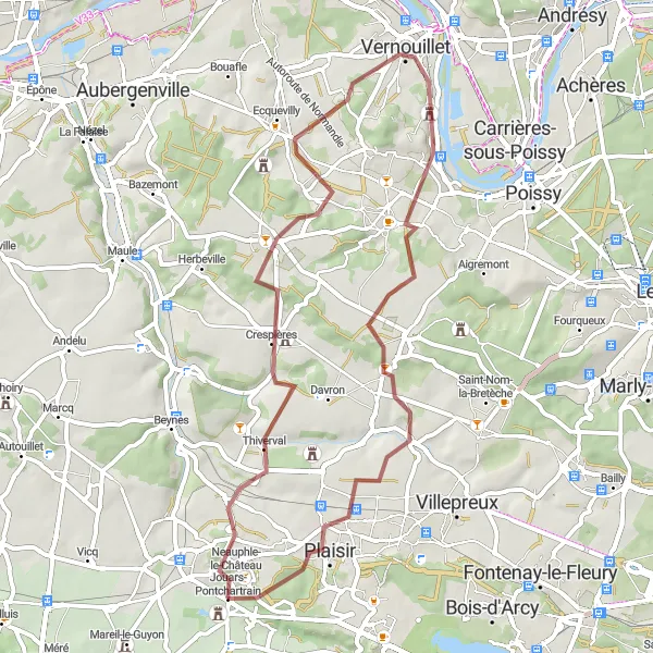
Explore diverse landscapes on this scenic gravel route
Venture into diverse landscapes on this 52 km gravel route near Jouars-Pontchartrain. With an ascent of 653 meters, this route offers thrilling challenges and scenic views. Highlights include Crespières, Verneuil-sur-Seine, Chavenay, and Plaisir before returning to Jouars-Pontchartrain.
Cycling routes nearby:


Nearby regions: