Challenge yourself on the mixed terrain of Les Molières
Cycling routes from Les Molieres
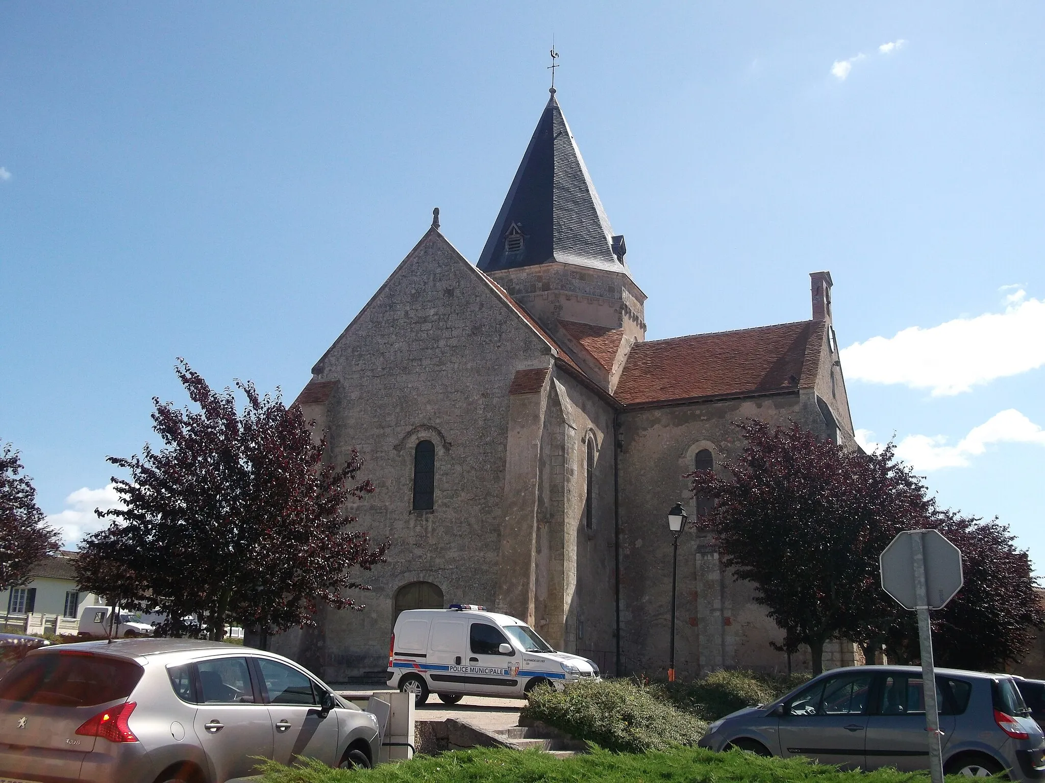
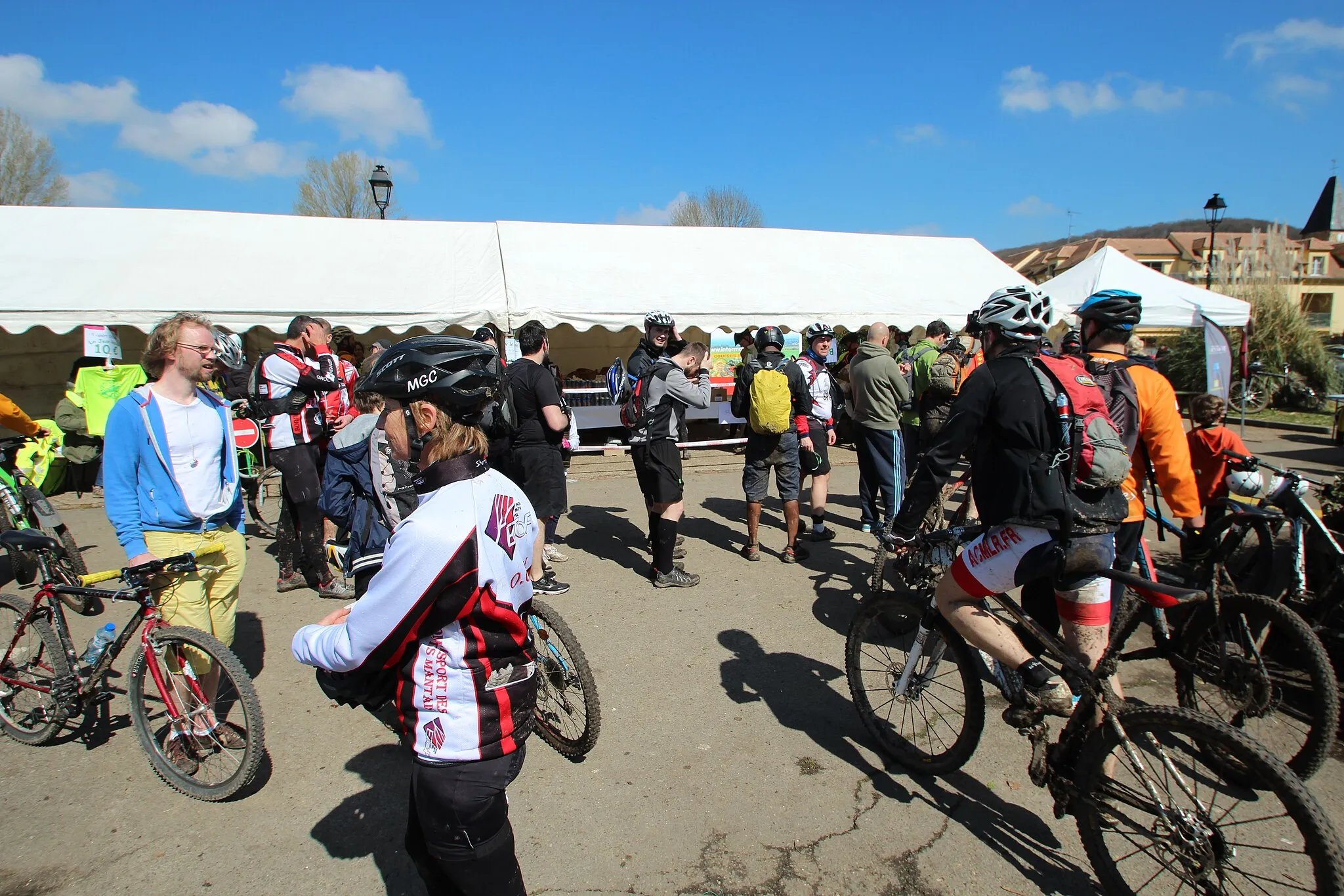
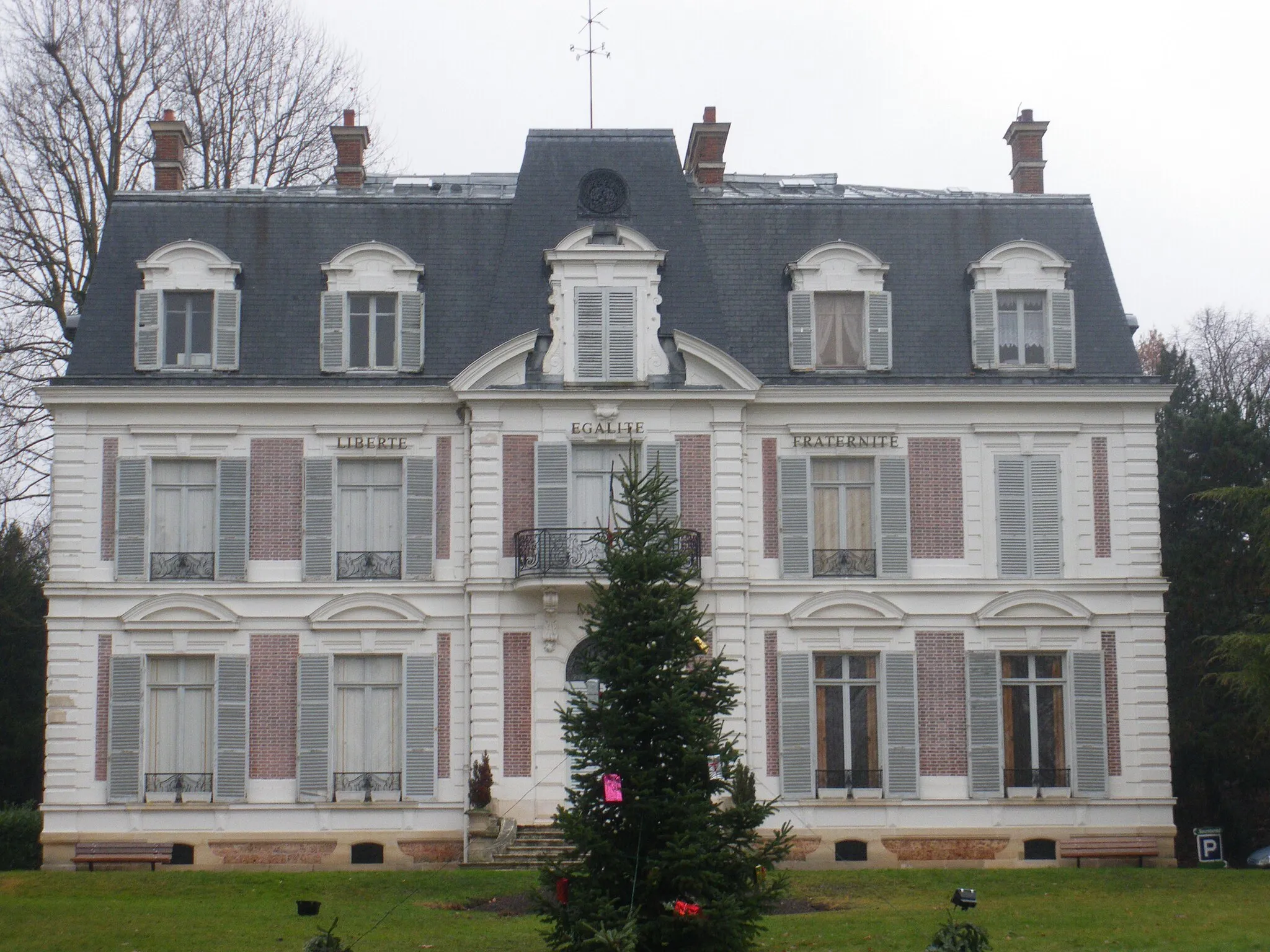
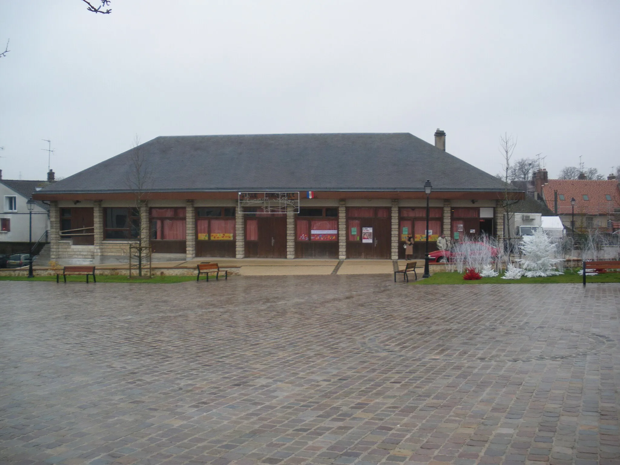
Les Molières is a town located in the Ile-de-France region of France. From a cyclist's perspective, Les Molières offers a mix of flat and rolling terrain, providing challenging opportunities for riders. While there are no famous cycling spots or well-known climbs in the immediate vicinity, the quiet country roads and picturesque countryside make for an enjoyable cycling experience. Overall, Les Molières is a suitable location for road and gravel cyclists looking for varied terrain, earning a rank of 3.
The Gravel Heritage Tour

Embark on a gravel journey through historical landmarks and cultural sites near Les Molières.
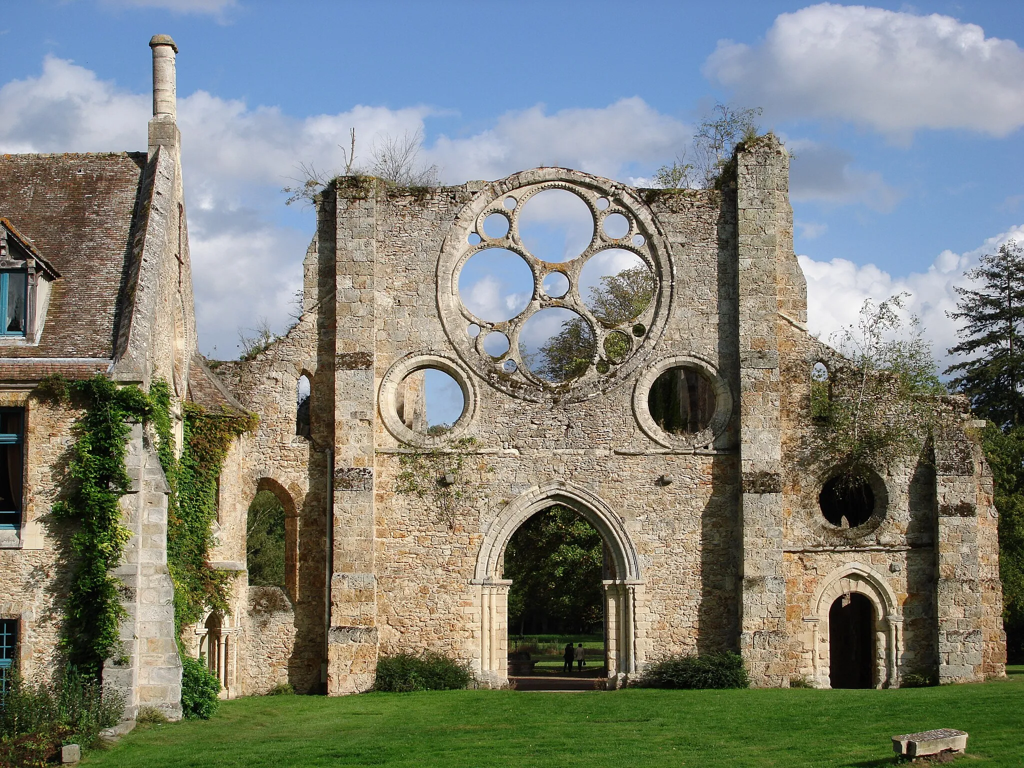
The Gravel Heritage Tour is a 48-kilometer route designed to immerse gravel cyclists in the rich heritage and cultural sites near Les Molières. With an ascent of 417 meters, this route provides a challenging experience suitable for experienced gravel riders. Highlights along the route include the Ancienne abbaye de Port-Royal des Champs, a prestigious national heritage site with a fascinating history. Élancourt impresses with its architectural wonders, while the Commanderie des Templiers invites cyclists to explore its historic foundations. Fondation de Coubertin offers a glimpse into the world of sports, tying together culture and athleticism.

An off-road gravel cycling route with a highlight at Point Culminant de l’Essonne
Embark on an exciting off-road adventure with this gravel cycling route that leads to Point Culminant de l’Essonne. Covering a total distance of 83 kilometers and ascending 415 meters, this route is suitable for experienced gravel cyclists. The highlight of this route is Point Culminant de l’Essonne, a high point in the region with breathtaking panoramic views.
Discover charming villages and peaceful countryside on this scenic cycling route near Les Molières.
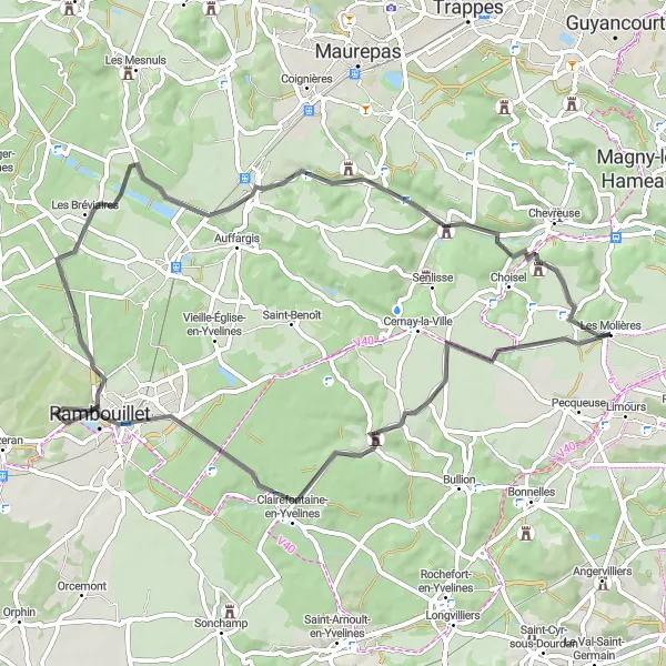
The Rural Route offers a picturesque cycling experience, taking you through beautiful countryside and quaint villages near Les Molières. With a total distance of 61 kilometers and an elevation gain of 358 meters, this road route is suitable for intermediate cyclists. The terrain features rolling hills and gentle slopes, providing a moderately challenging ride. Highlights along the route include La Celle-les-Bordes, with its historic buildings and charming atmosphere, Rambouillet, known for its stunning château and gardens, and Les Bréviaires, a delightful village showcasing traditional French architecture. Maincourt-sur-Yvette and Boullay-les-Troux are also worth a visit, offering scenic views and a tranquil ambiance.

A scenic road cycling route with highlights at Bullion and Clairefontaine-en-Yvelines
This road cycling route offers scenic views and passes through the picturesque towns of Bullion and Clairefontaine-en-Yvelines. With a total ascent of 215 meters and distance of 54 kilometers, this route is suitable for cyclists of intermediate level. The highlights of this route include the charming town of Bullion, known for its historic architecture, and Clairefontaine-en-Yvelines, which boasts beautiful countryside scenery.

Embark on a gravel adventure through scenic landscapes and hidden gems near Les Molières.
Offering a 34-kilometer route filled with gravel paths, the Gravel Adventure is perfect for those seeking an off-road experience. With an ascent of 187 meters, this route provides a moderate challenge suitable for intermediate gravel cyclists. Highlights along the route include Bullion, a charming village surrounded by picturesque scenery. Cernay-la-Ville offers a peaceful retreat with its tranquil atmosphere and beautiful landscapes. Boullay-les-Troux, the final highlight, captivates with its captivating vistas and nostalgic ambiance, providing a memorable ending to your gravel adventure near Les Molières.
The Scenic Road

Embark on a scenic adventure through breathtaking vistas and charming towns on this road cycling route near Les Molières.
The Scenic Road is a 53-kilometer road route offering a diverse array of stunning views and cultural landmarks. With an ascent of 321 meters, it provides a moderate challenge suitable for cyclists with some experience. Highlights along the route include Point de Vue, where you’ll be rewarded with panoramic vistas that stretch as far as the eye can see. Gif-sur-Yvette is also worth a visit, with its beautiful architecture and vibrant atmosphere. Château de Sillery showcases the region's rich history, while Longpont-sur-Orge and Janvry offer idyllic village charm. The route concludes at the Point Culminant de l’Essonne, offering a magnificent view and a satisfying finale to your journey.
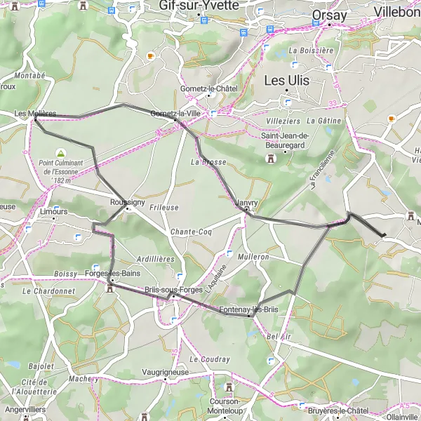
A scenic road cycling route with highlights at Gometz-la-Ville and Briis-sous-Forges
Discover the beauty of the surrounding countryside with this scenic road cycling route. Covering a distance of 31 kilometers and ascending 227 meters, this route is suitable for intermediate cyclists. The highlights of this route include the charming town of Gometz-la-Ville, known for its quaint streets and historic buildings, and Briis-sous-Forges, a picturesque village with beautiful natural surroundings.

An adventurous gravel cycling route with highlights at Château de La Celle and Les Mesnuls
Embark on an adventurous gravel cycling route that takes you to the historic Château de La Celle and explores the picturesque town of Les Mesnuls. This route covers a total distance of 66 kilometers and includes a challenging ascent of 488 meters. Enjoy the serenity of the surrounding countryside and discover hidden gems along the way.
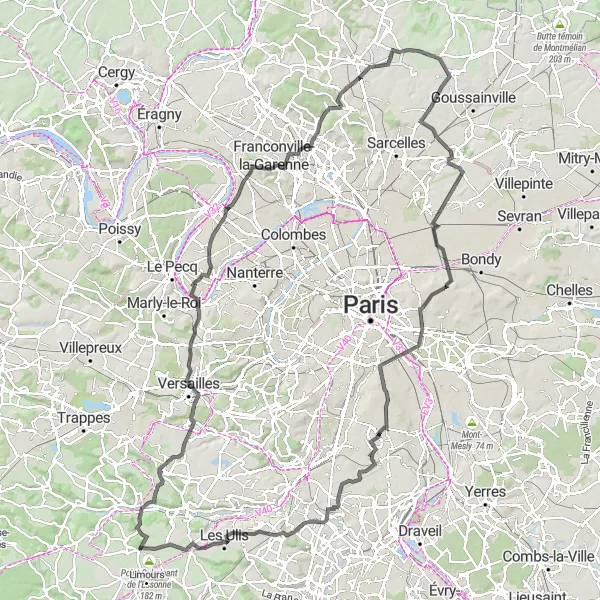
An epic road cycling route with highlights at Versailles and Viaduc des Fauvettes
Embark on an epic road cycling expedition with this route that covers a total distance of 143 kilometers and includes a challenging ascent of 1023 meters. Suitable for experienced cyclists, this route takes you through the historic town of Versailles and offers breathtaking views from the Viaduc des Fauvettes. Discover picturesque landscapes and admire historic landmarks along the way.
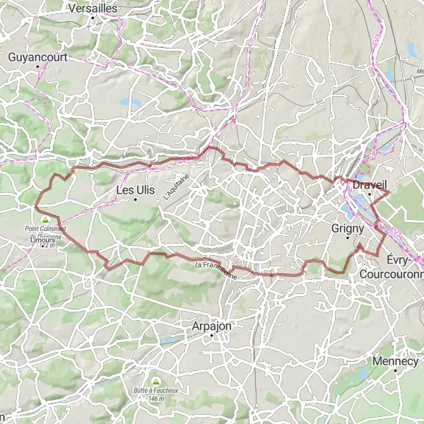
Take on the ultimate gravel challenge featuring scenic landscapes and hidden treasures near Les Molières.
The Gravel Ultimate Challenge is a 74-kilometer route designed for experienced gravel cyclists yearning for an unforgettable adventure. With a total ascent of 390 meters, this route features diverse terrain and challenging sections suitable for advanced riders. Highlights along the route include Point de Vue, offering sweeping views of the surrounding valleys and a breathtaking perspective of the Orge and Seine rivers. Orsay showcases a blend of urban charm and natural beauty, while Juvisy-sur-Orge immerses you in picturesque surroundings. Vue des Vallées de l'Orge et de la Seine treats you to magnificent vistas, and Château Lot presents an impressive cultural landmark. Linas, Mulleron, and the Point Culminant de l’Essonne complete your gravel adventure, leaving you with a sense of accomplishment and appreciation for the region's natural beauty.
Cycling routes nearby:
Nearby regions: