Gateway to scenic rural landscapes and historic attractions.
Cycling routes from Longperrier
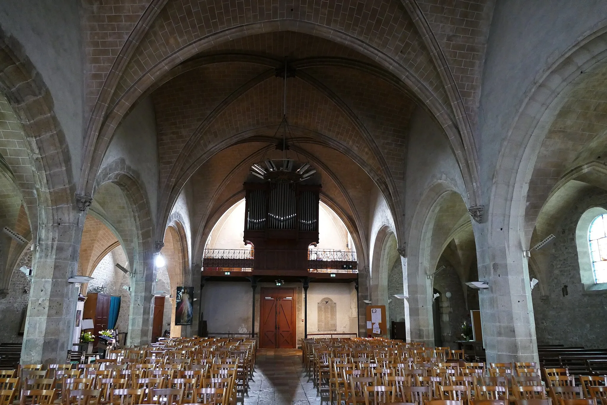
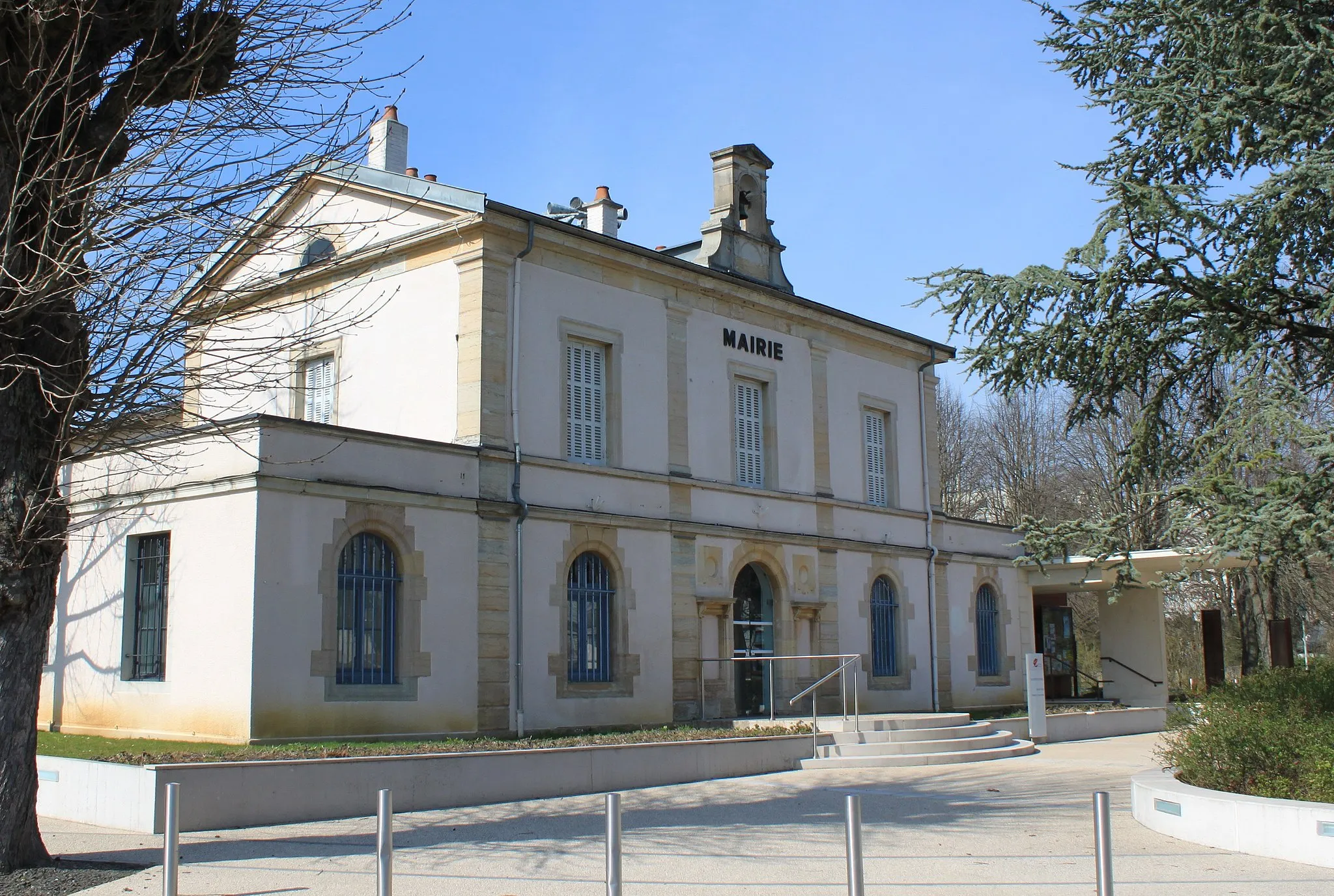
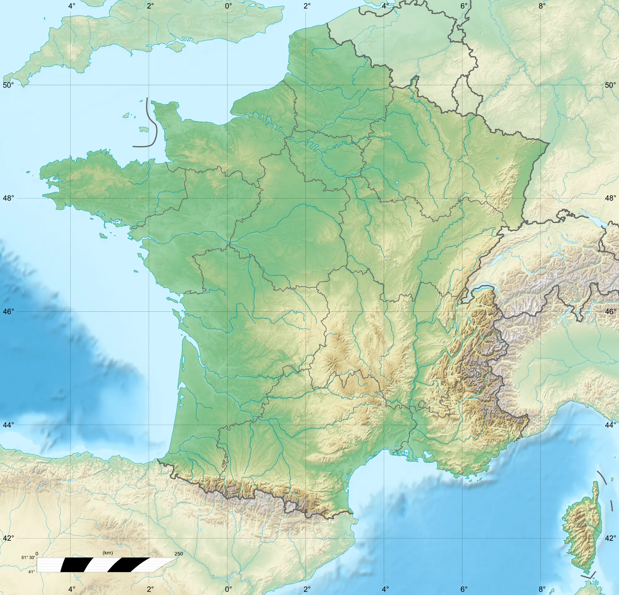
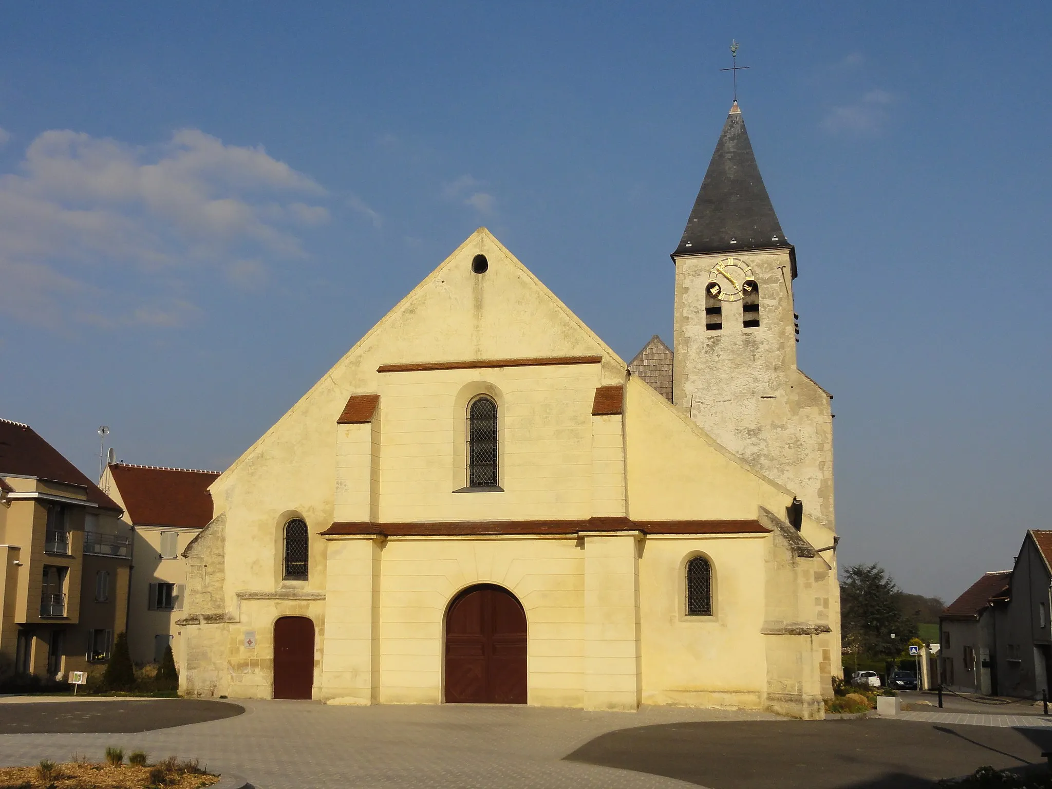
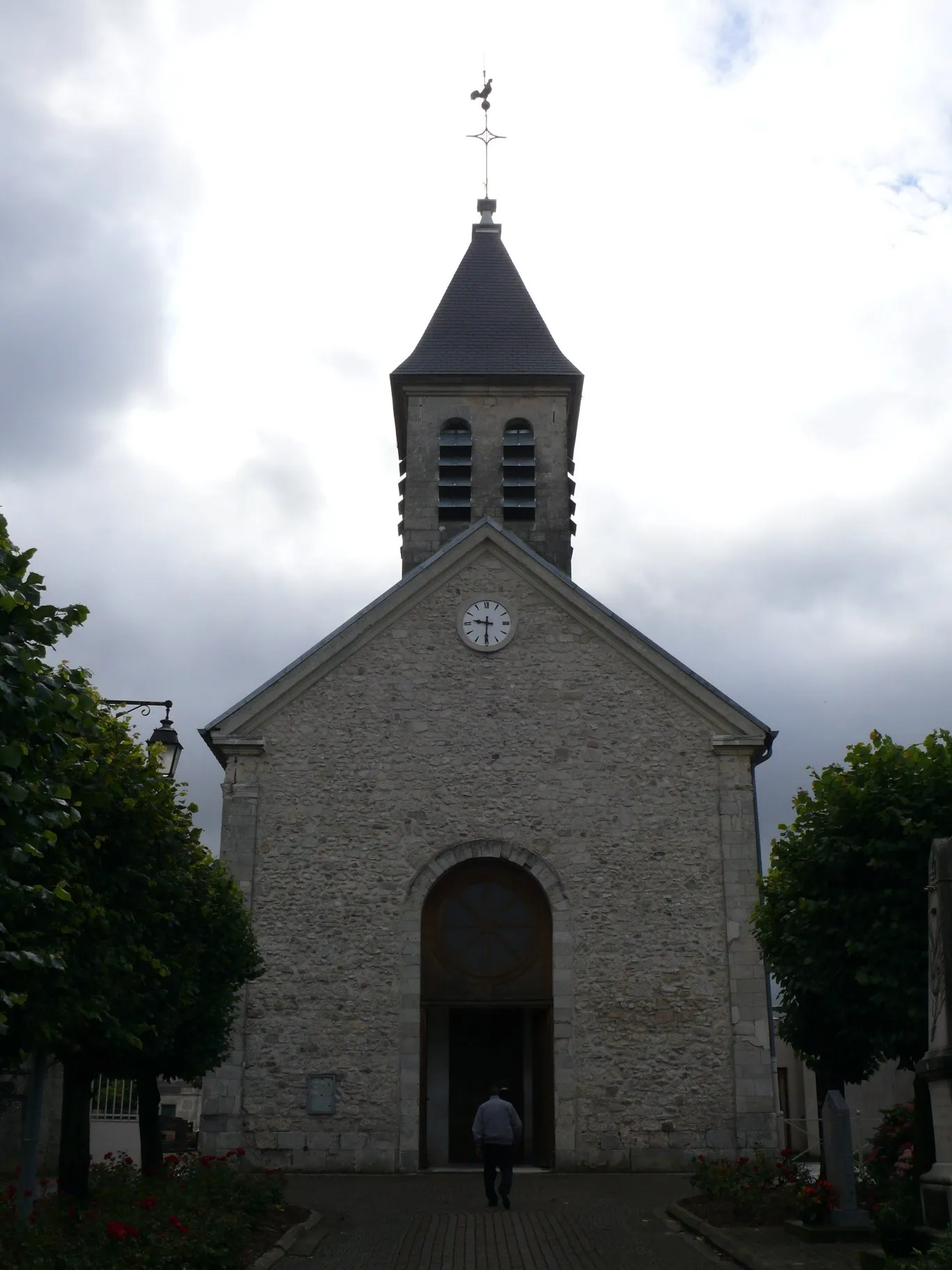
Longperrier is a small commune located in the Ile-de-France region of France. From a cyclist's perspective, Longperrier offers easy access to the surrounding rural landscapes with many cycling-friendly routes. Cyclists can explore the picturesque countryside, rolling hills, and charming villages in the area. While Longperrier itself may not have any famous cycling spots or well-known climbs nearby, its proximity to other popular destinations in the region, such as historic chateaus and cultural sites, provides additional opportunities for memorable cycling adventures.
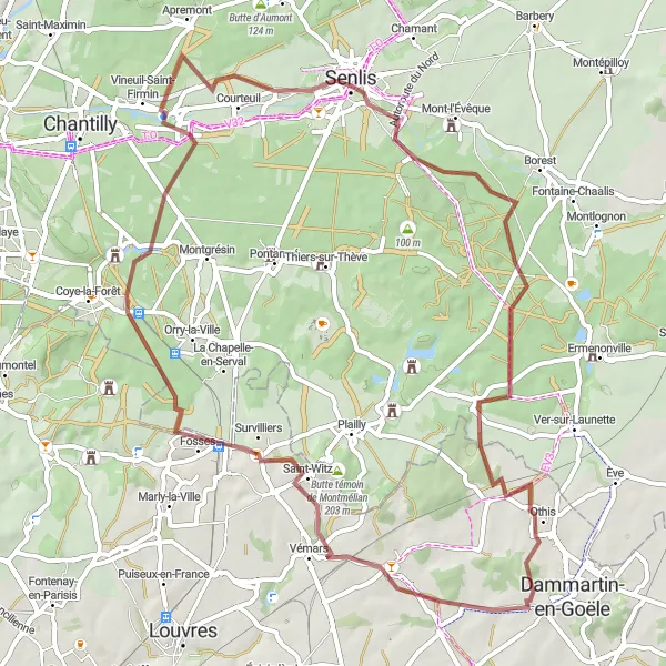
Discover historical sites and natural beauty on this scenic gravel route
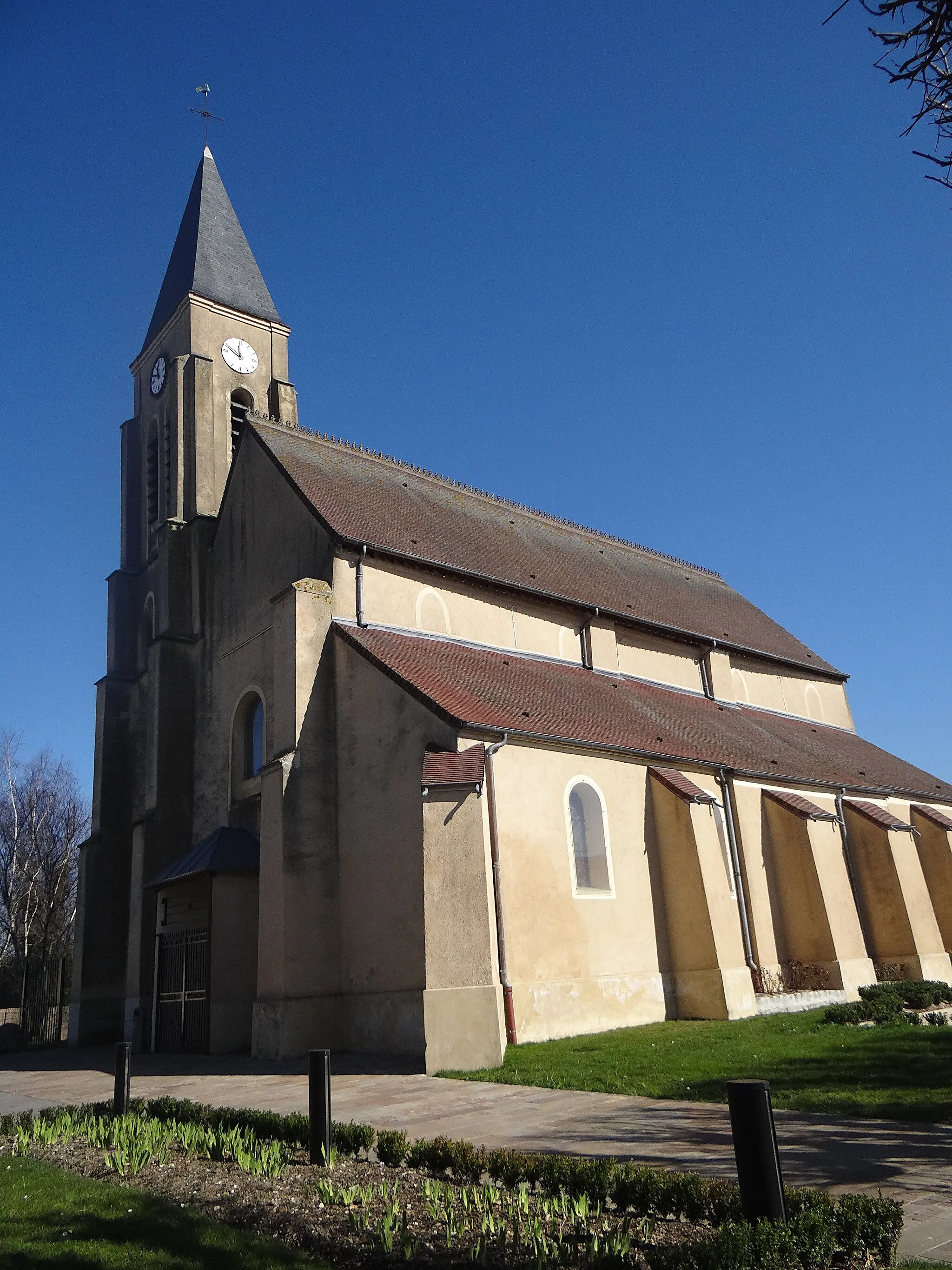
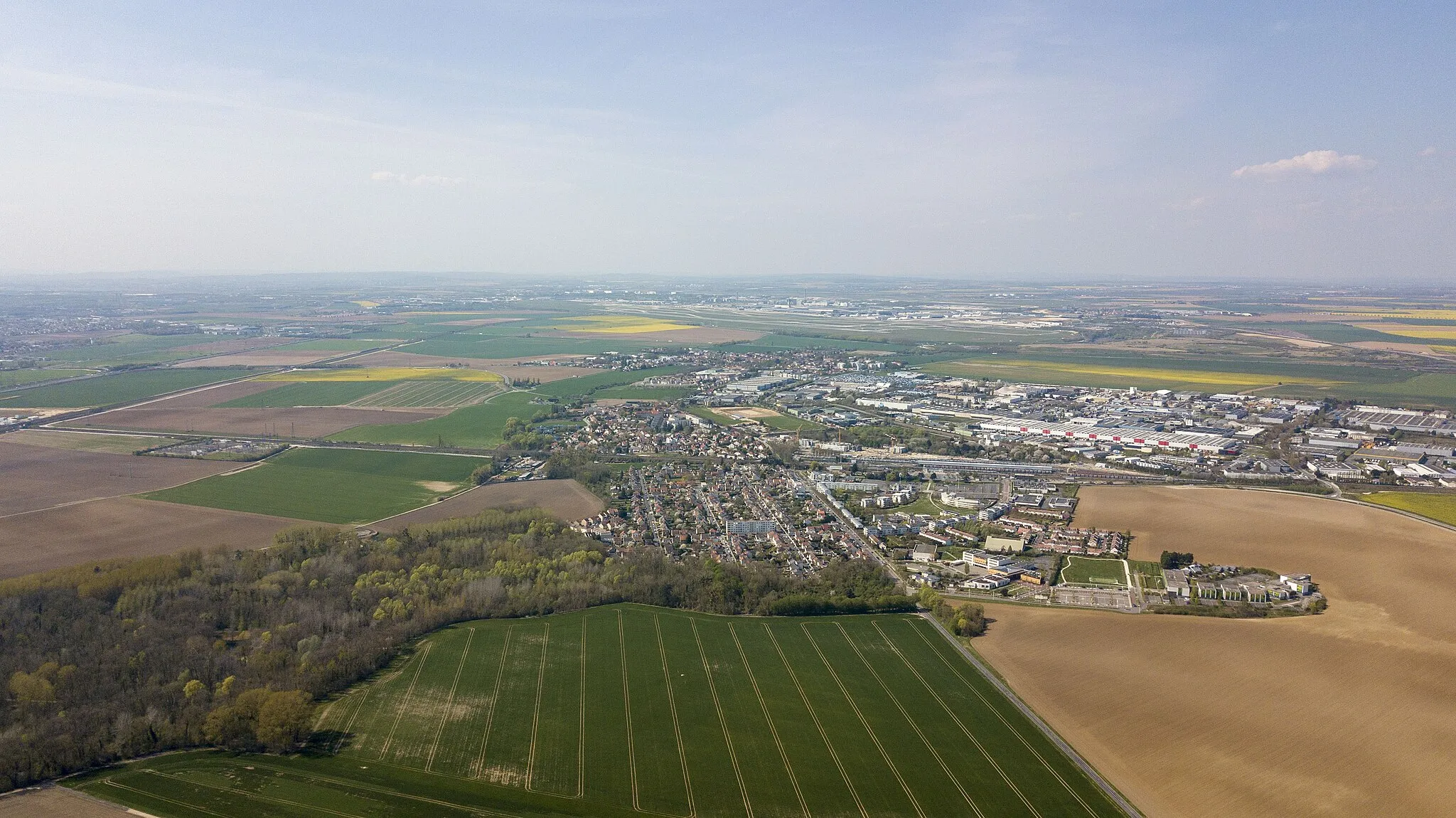
Covering a distance of 61 km with an elevation gain of 391 meters, this gravel route offers a well-rounded mix of historical and natural attractions near Longperrier. Highlights of the route include the charming village of Saint-Witz, the picturesque town of Vineuil-Saint-Firmin, and the stunning Tiger Express forest. Cyclists will also pass through Othis, known for its beautiful aerial panoramas. With its enjoyable terrain and captivating sights, this gravel route provides a rewarding experience for cycling enthusiasts seeking both cultural and natural immersion.
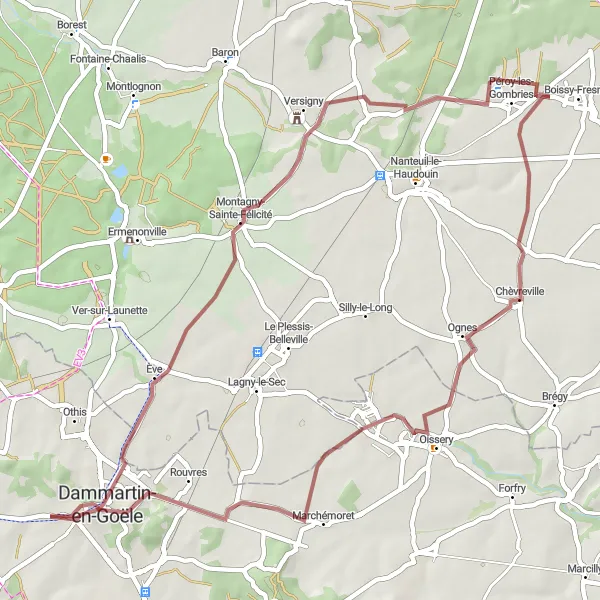
Experience the charm and history of Le Plessis-Belleville, Réez-Fosse-Martin, and more
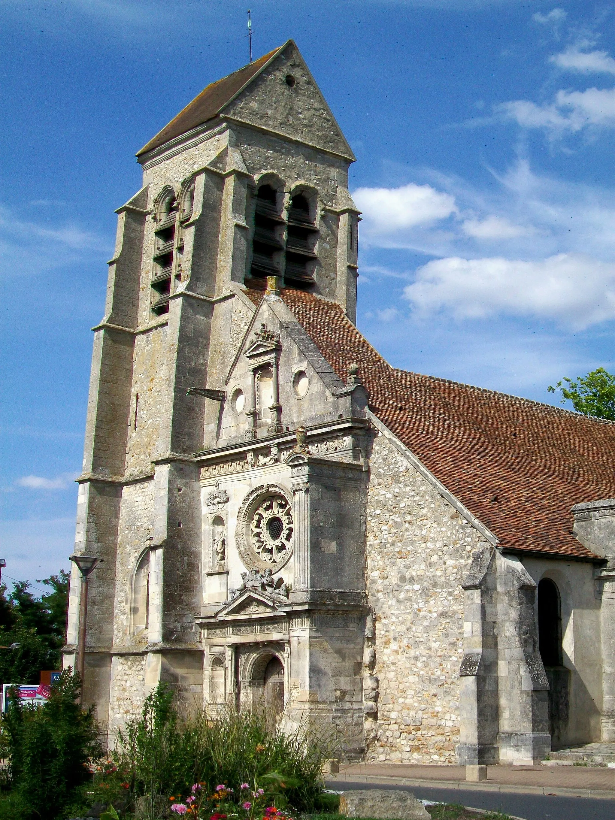
This scenic route starting from Longperrier takes you through picturesque French towns and beautiful countryside. Ride through charming villages and enjoy the tranquil landscapes of Ile-de-France. With an ascent of 422 meters and a distance of 68 kilometers, this route is suitable for well-trained amateur cyclists. The epicness of the journey is rated at 3, allowing you to enjoy a challenging yet enjoyable ride.
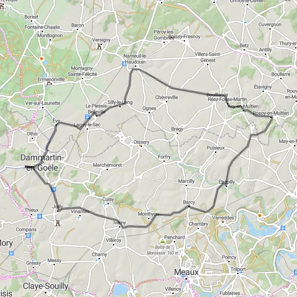
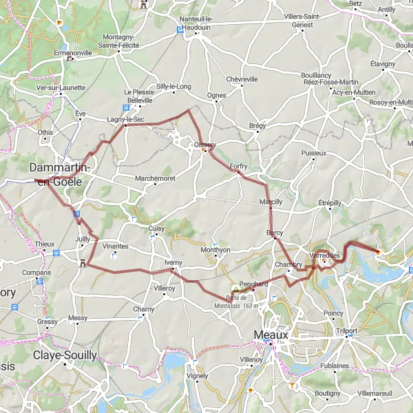
Villages and Castles Loop
Explore picturesque villages and majestic castles in this scenic cycling route
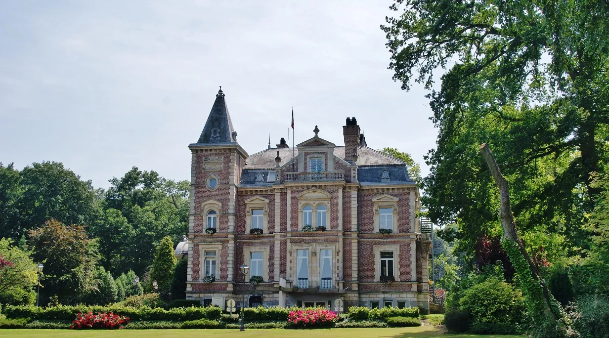
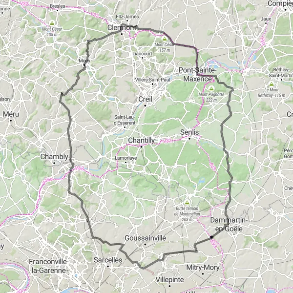
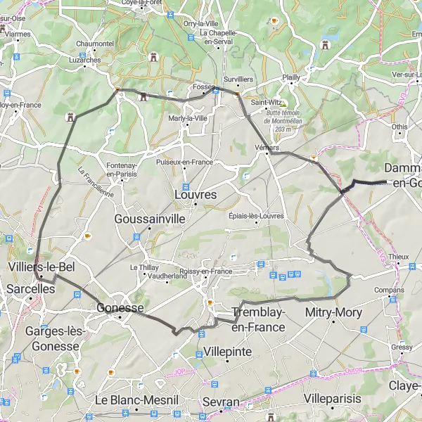
This round-trip cycling route takes you through charming villages and magnificent castles, offering a glimpse into the rich history and natural beauty of the region. With a total distance of 145 km and an elevation gain of 931 meters, this road route provides a good challenge for well-trained amateurs. The route starts near Longperrier in Ile-de-France, France and passes through highlights such as Moisselles, Beaumont-sur-Oise, Neuilly-en-Thelle, Mouy, Sacy-le-Grand, Brasseuse, Ver-sur-Launette, and eventually returns to Longperrier. The journey is characterized by rolling hills, picturesque landscapes, and stunning architectural landmarks.
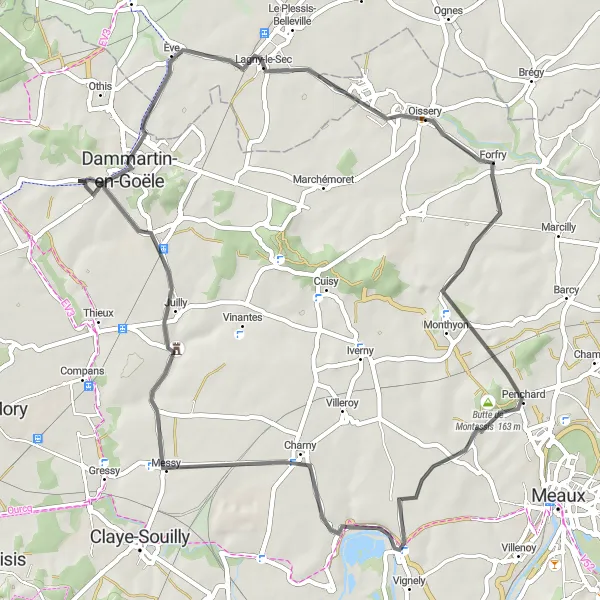
Discover the beauty of Forfry and Chauconin-Neufmontiers on this route
Take a trip through the enchanting countryside near Longperrier and explore historic towns and beautiful landscapes. Enjoy the tranquility of this 58-kilometer route with a manageable ascent of 312 meters. This route is recommended for well-trained amateur cyclists who enjoy historical sites and picturesque scenery. With an epicness rating of 3, this journey will leave you with lasting memories.
Embark on a thrilling gravel adventure to the historic town of Dammartin-en-Goële
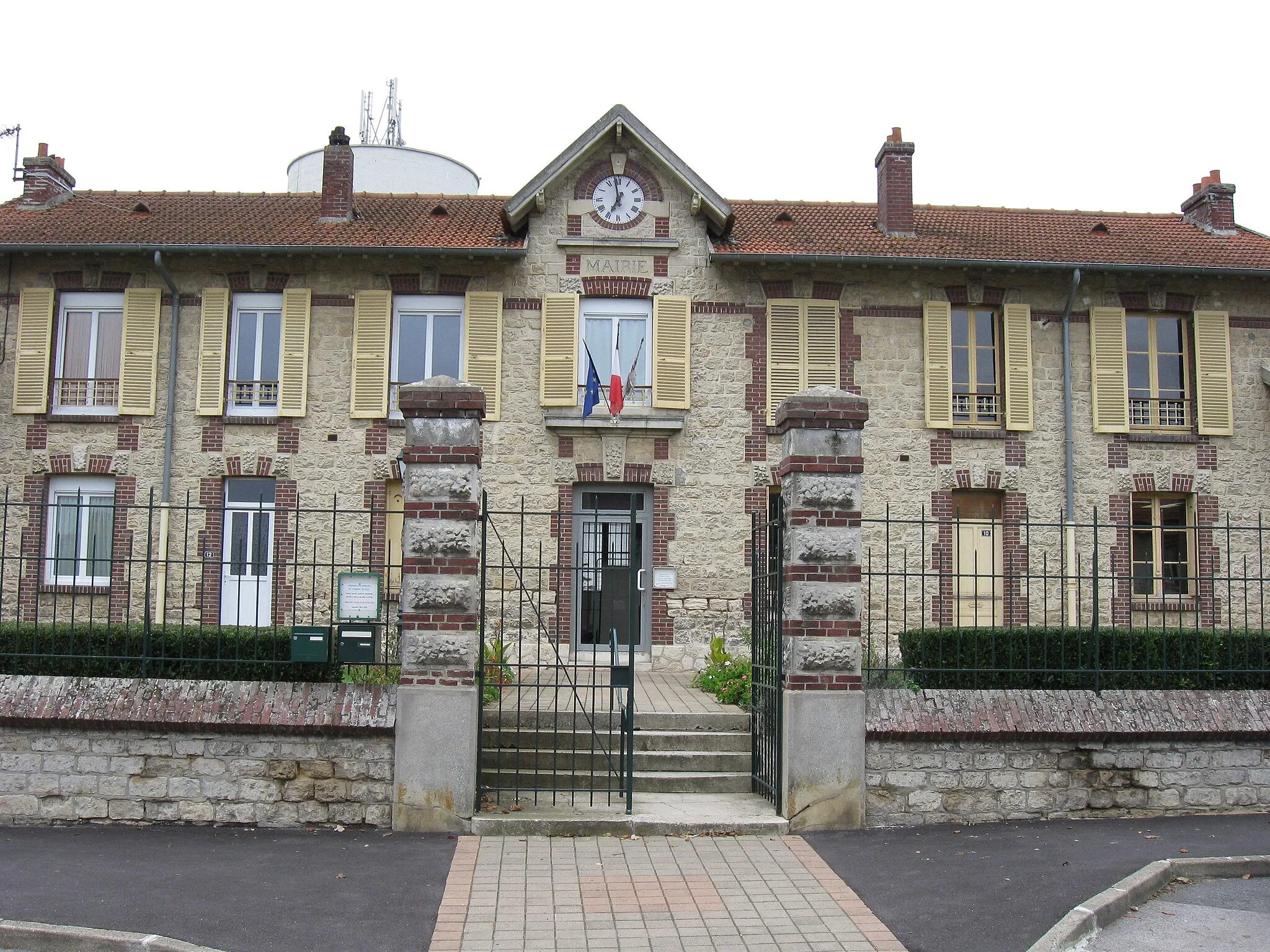
This compact gravel route covers a distance of 51 km and includes an ascent of 282 meters. Starting from Longperrier, the route takes you through varied terrain, including scenic countryside and forested tracks. Highlights of the route include the picturesque town of Montagny-Sainte-Félicité, the charming village of Péroy-les-Gombries, and the historic town of Dammartin-en-Goële. With its manageable distance and moderate ascent, this gravel route is suitable for experienced amateurs seeking a mix of adventure and cultural exploration.
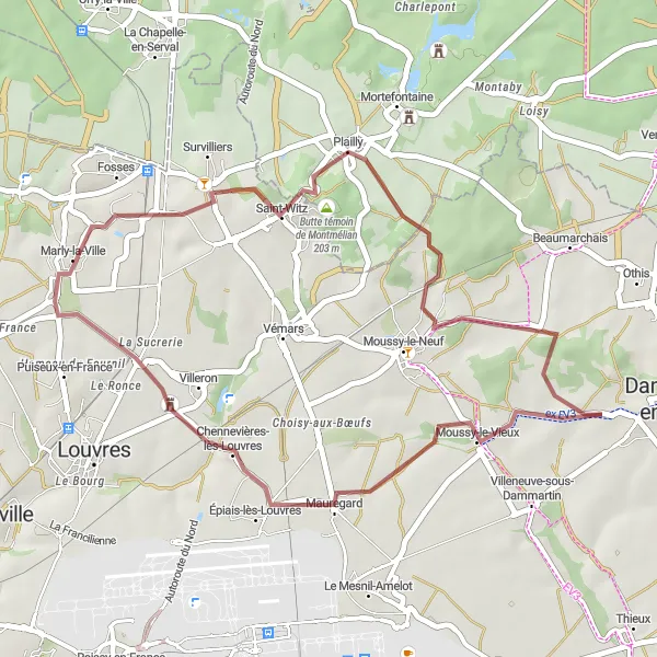
Scenic Countryside Gravel Loop
Immerse yourself in the scenic countryside on this gravel loop
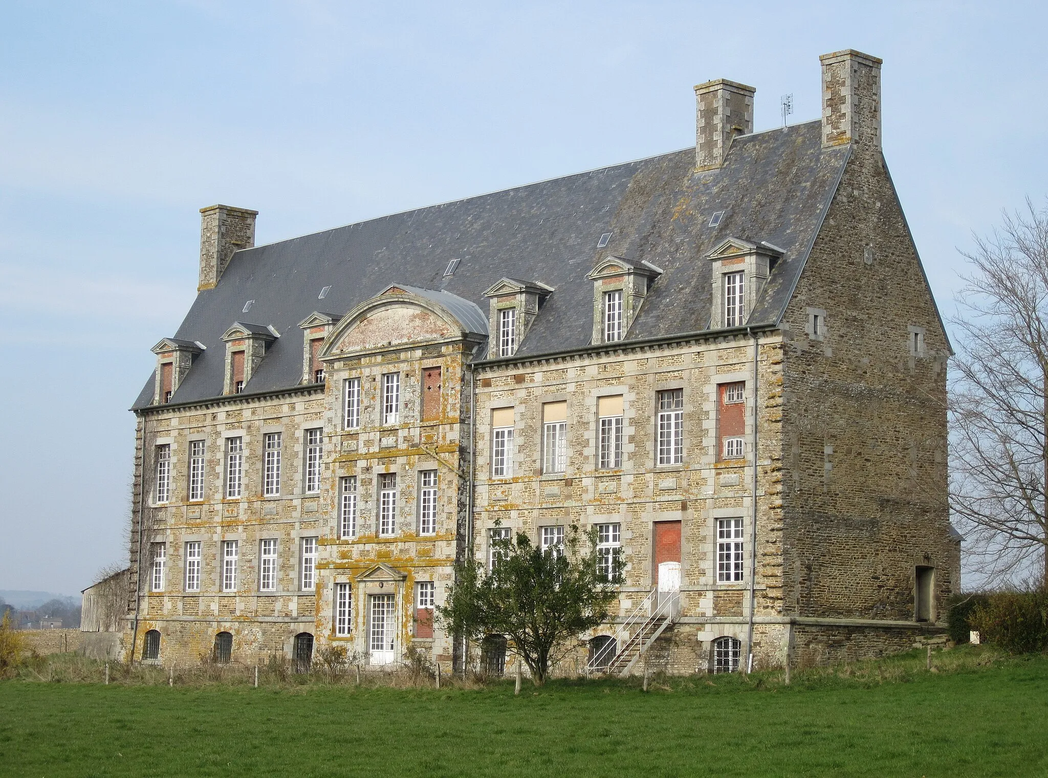
This 70 km gravel loop takes you through the picturesque countryside surrounding Longperrier. With an ascent of 506 meters, this route offers a moderate challenge for well-trained amateurs. Highlights along the way include the charming village of Forfry, the historic town of Congis-sur-Thérouanne, the stunning Butte de Montassis, and the renowned Château de Nantouillet. Cyclists will also pass through scenic landscapes and enjoy picturesque views of the idyllic French countryside. This route guarantees a memorable cycling experience immersed in the region's natural beauty.
Experience the thrill of riding through beautiful gravel roads near Longperrier
Embark on a 35-kilometer gravel adventure starting from Longperrier and explore the beautiful landscapes of Ile-de-France. This route is recommended for gravel enthusiasts looking for a moderate challenge. With an ascent of 256 meters, it is suitable for well-trained amateur cyclists. Rated with an epicness of 2, this route promises scenic views and a thrilling gravel riding experience.
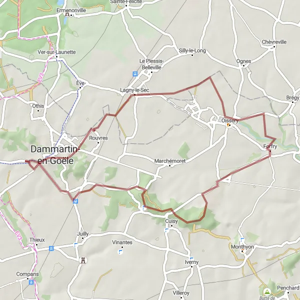
Embark on an off-the-beaten-path gravel ride through scenic countryside
This 40 km gravel ride offers a shorter but rewarding adventure, taking you through idyllic countryside landscapes near Longperrier. With a moderate ascent of 297 meters, the route provides a good mix of challenging terrain and scenic beauty. Highlights along the route include the peaceful surroundings of Lagny-le-Sec, the charming village of Forfry, the quaint town of Montgé-en-Goële, and the historic village of Saint-Mard. This route is ideal for cyclists looking to escape the hustle and bustle of city life and immerse themselves in the tranquility of nature.
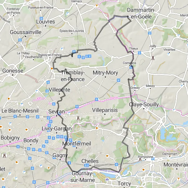
Cycle through Villeneuve-sous-Dammartin and Clichy-sous-Bois, uncover hidden gems of Ile-de-France
Embark on a scenic cycling adventure starting from Longperrier and explore the hidden gems of Ile-de-France. Ride through stunning landscapes and picturesque villages. With a manageable ascent of 297 meters and a distance of 71 kilometers, this route is perfect for well-trained amateur cyclists. Rated with an epicness of 3, this journey is filled with beautiful sights and cultural attractions.
Explore the charming towns of Le Mesnil-Amelot and Nantouillet on this scenic route
Discover the historical delights of Ile-de-France on this 66-kilometer route starting from Longperrier. Cycle through picturesque villages and enjoy the scenic beauty of the region. With an ascent of 343 meters, this route is recommended for well-trained amateur cyclists. Rated with an epicness of 3, it offers a perfect balance of challenging terrain and stunning landscapes.
Cycling routes nearby:


Nearby regions: