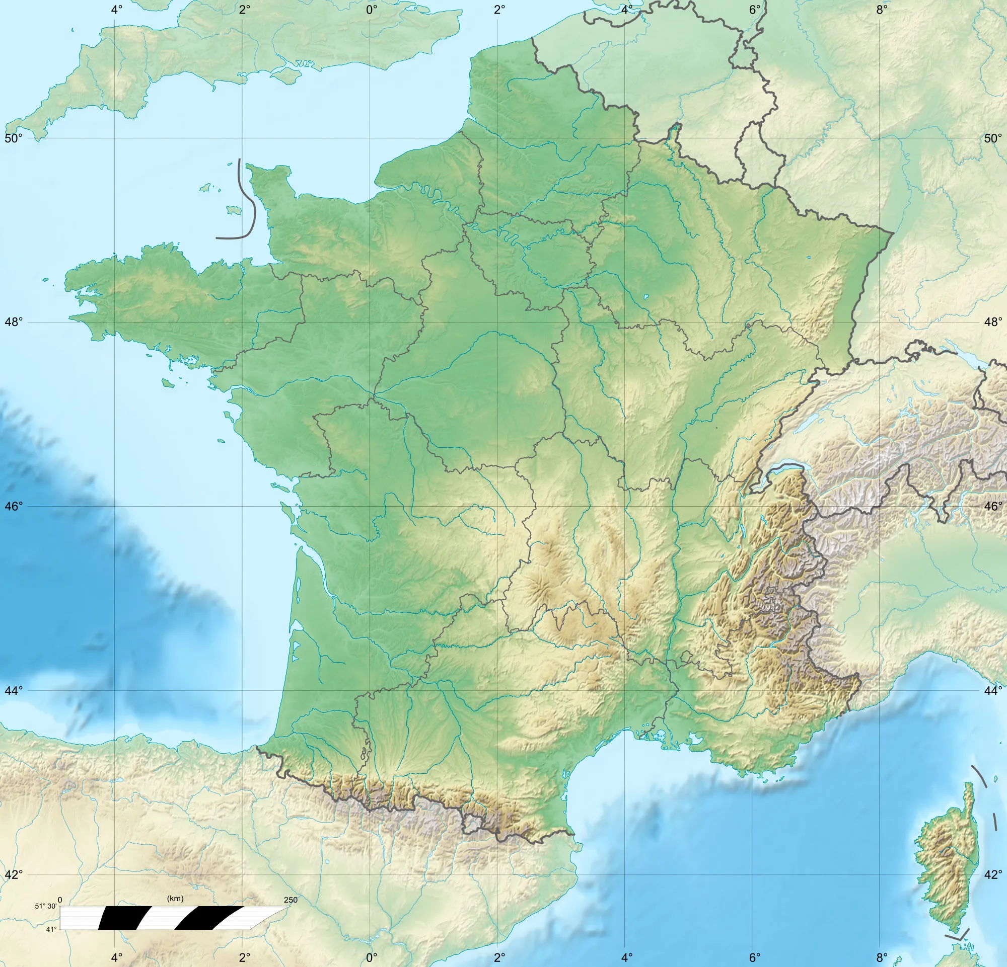
Charming countryside cycling in Marolles-sur-Seine
Cycling routes from Marolles-sur-Seine
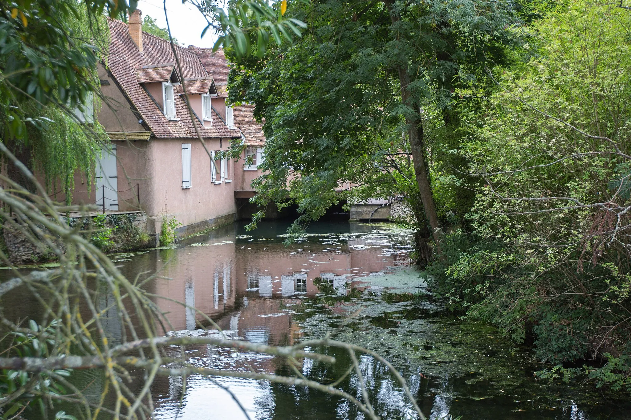
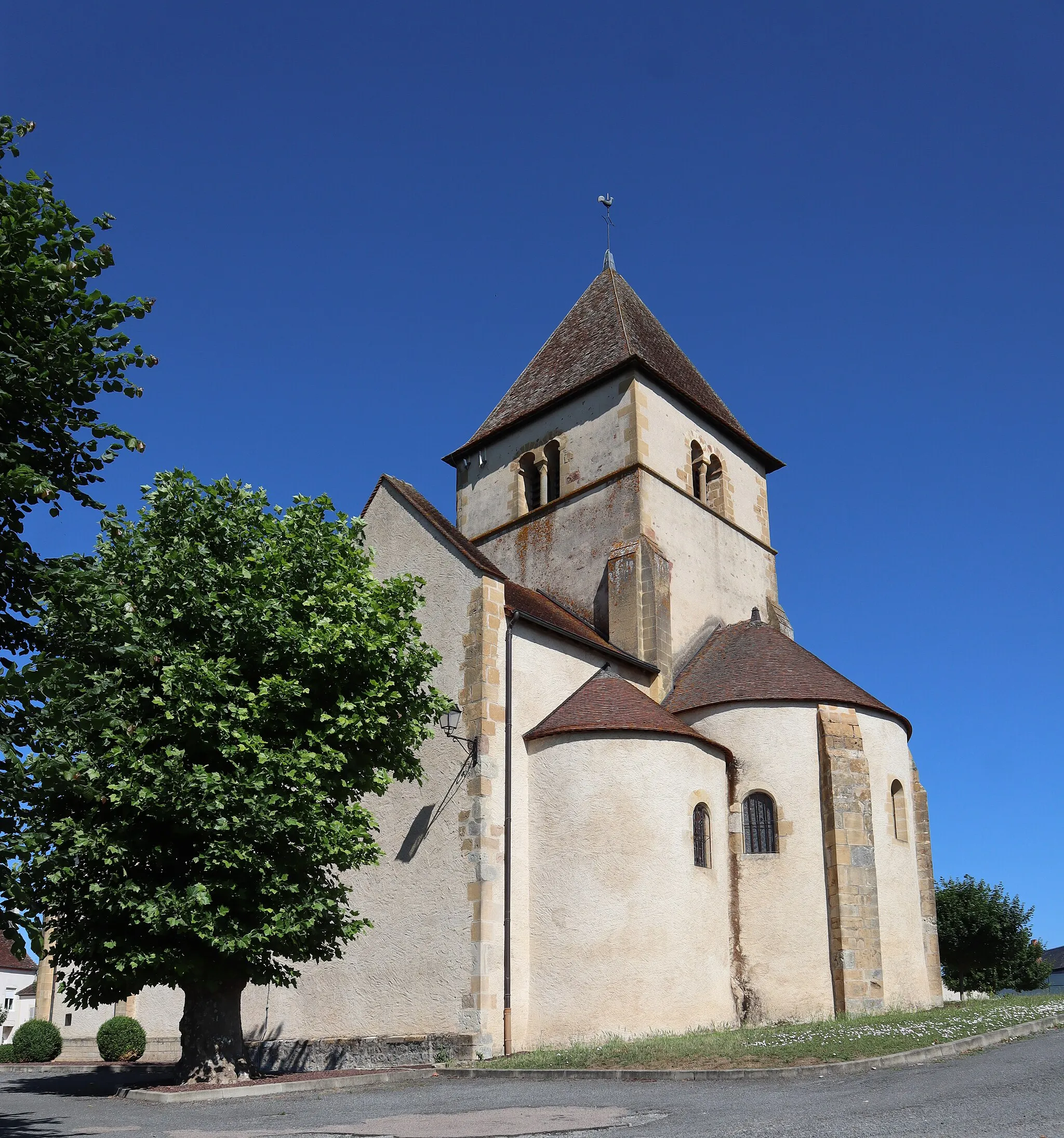
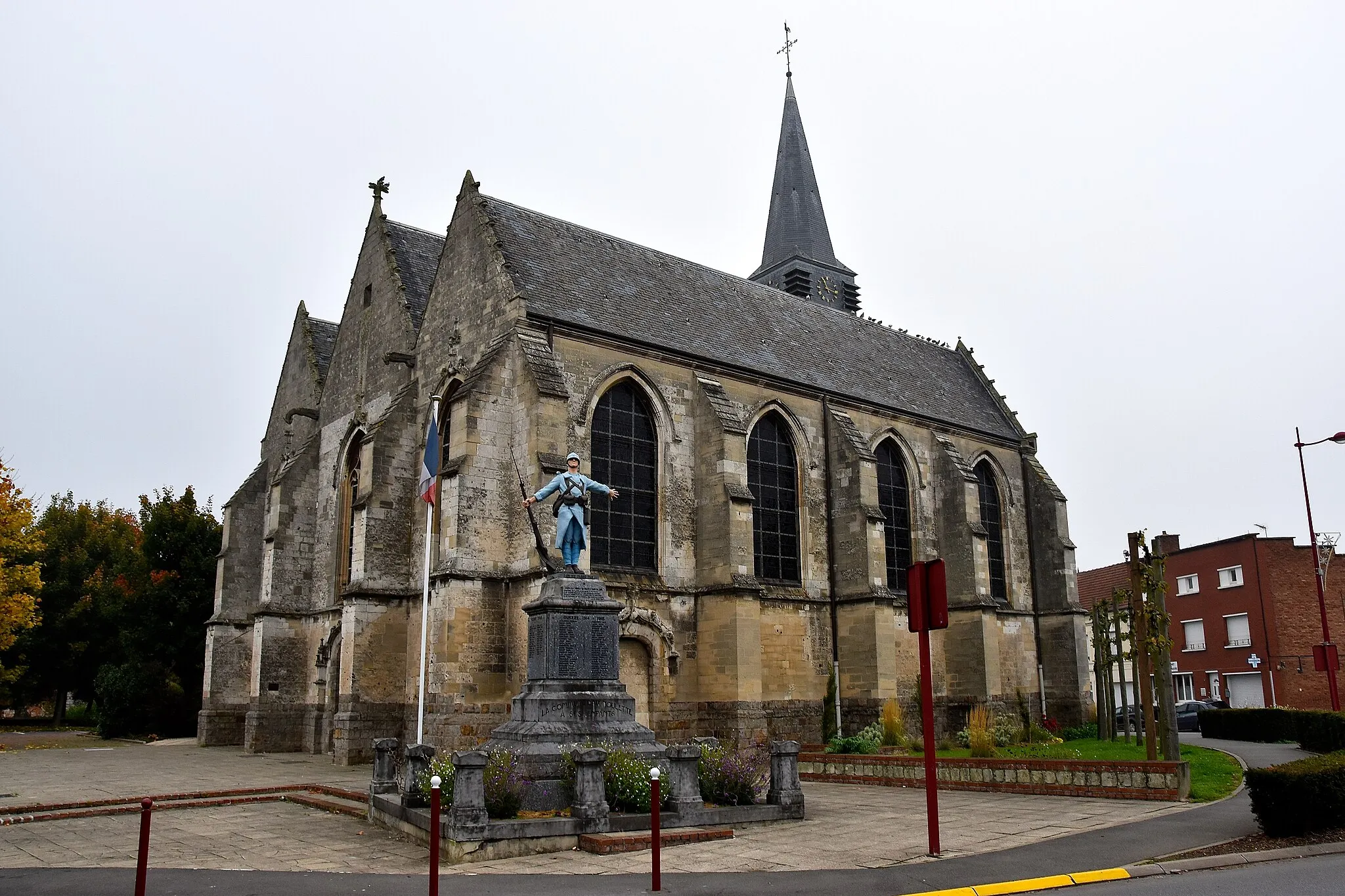
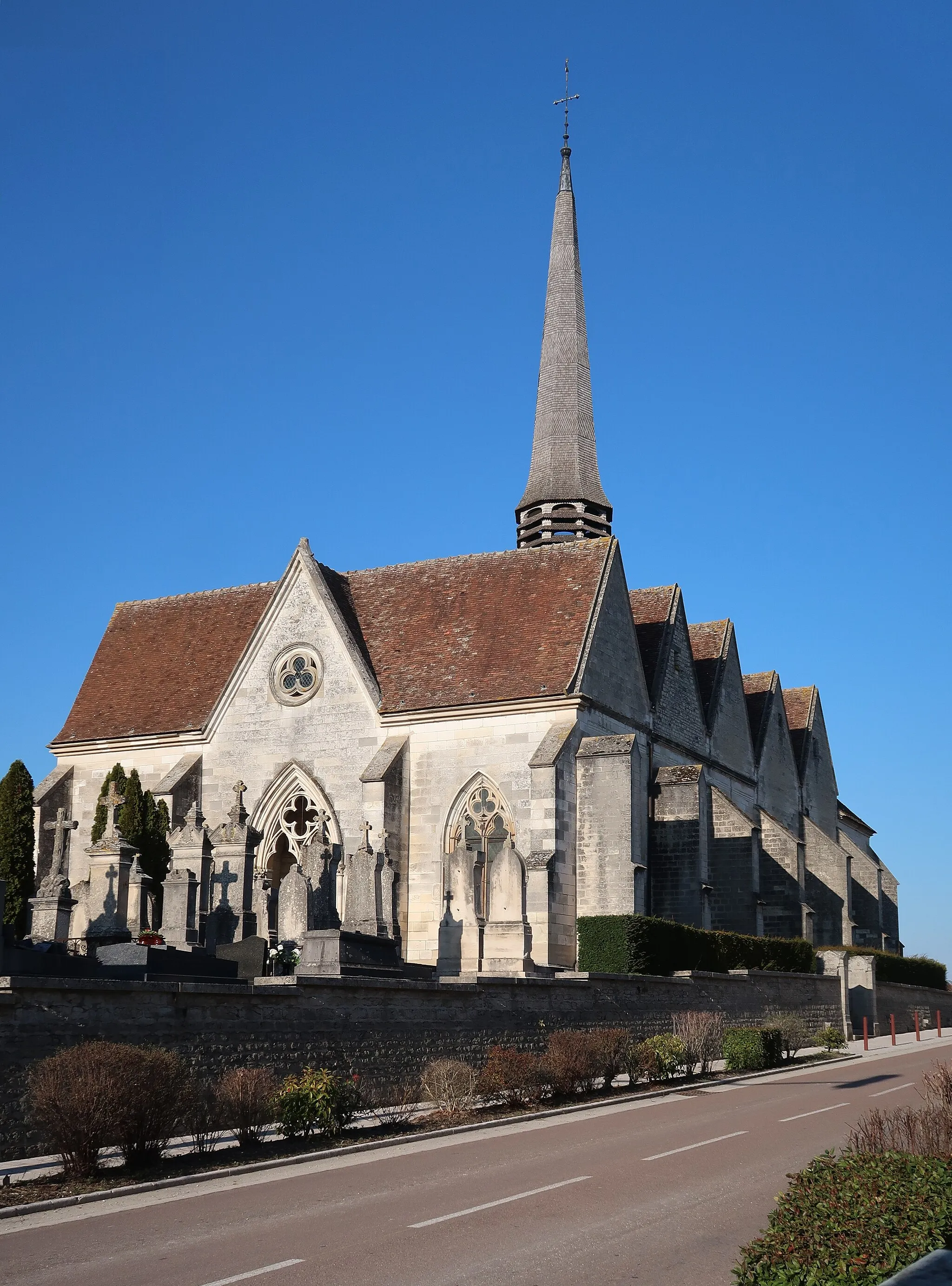
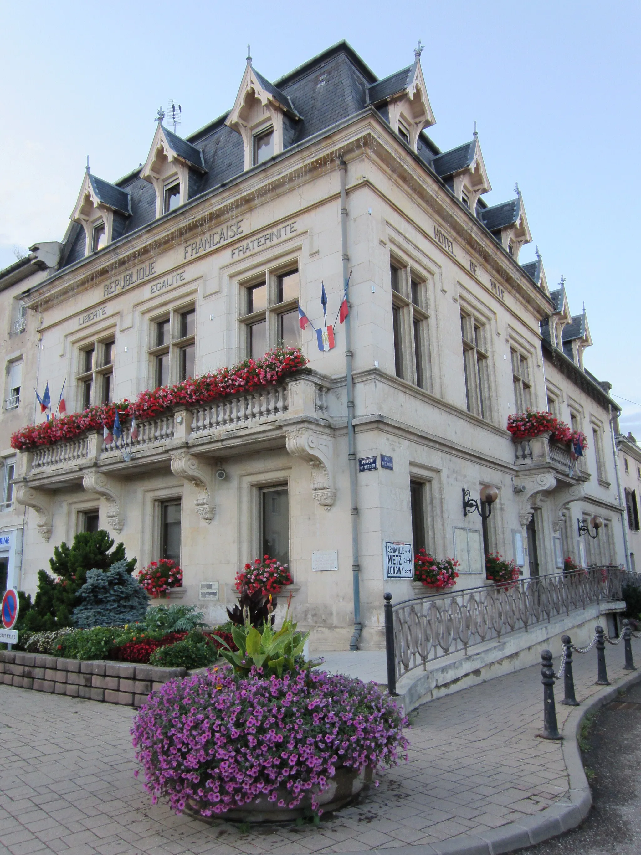
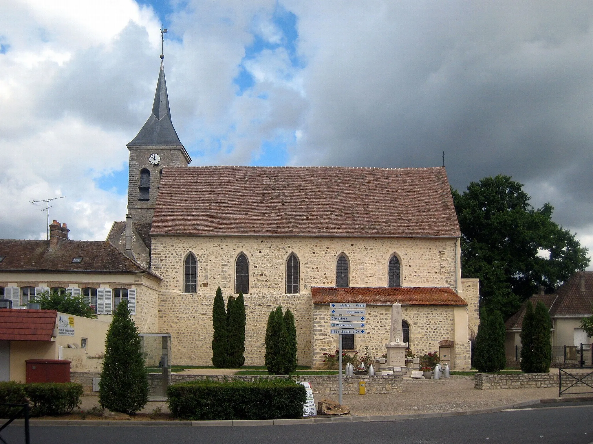
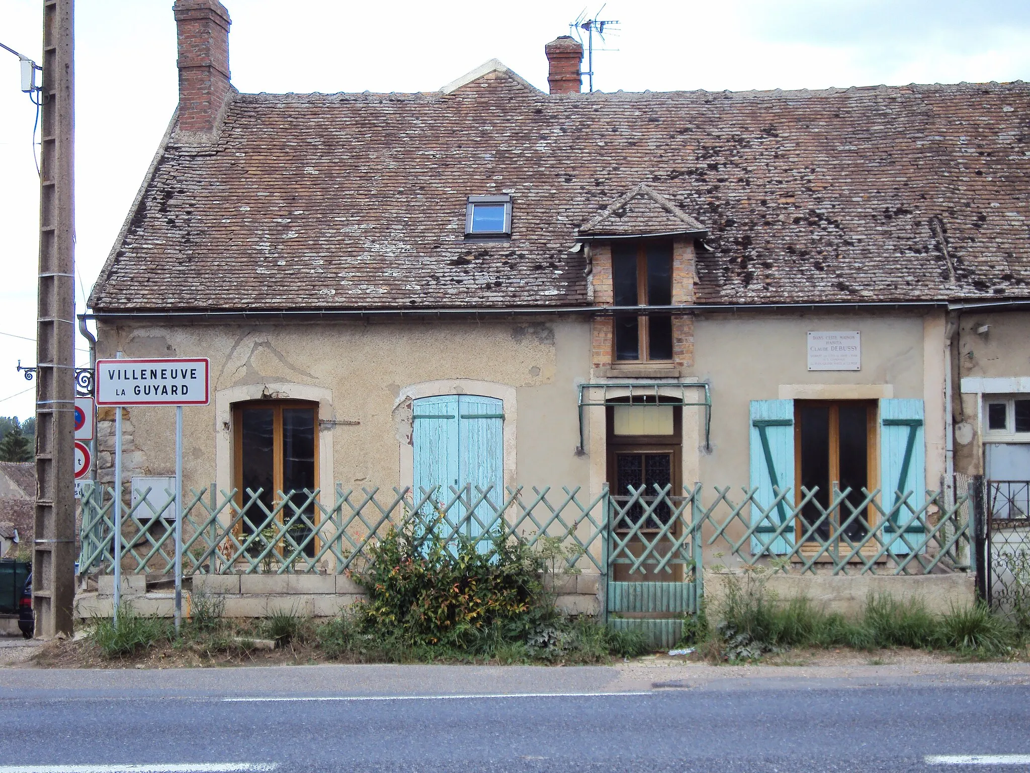
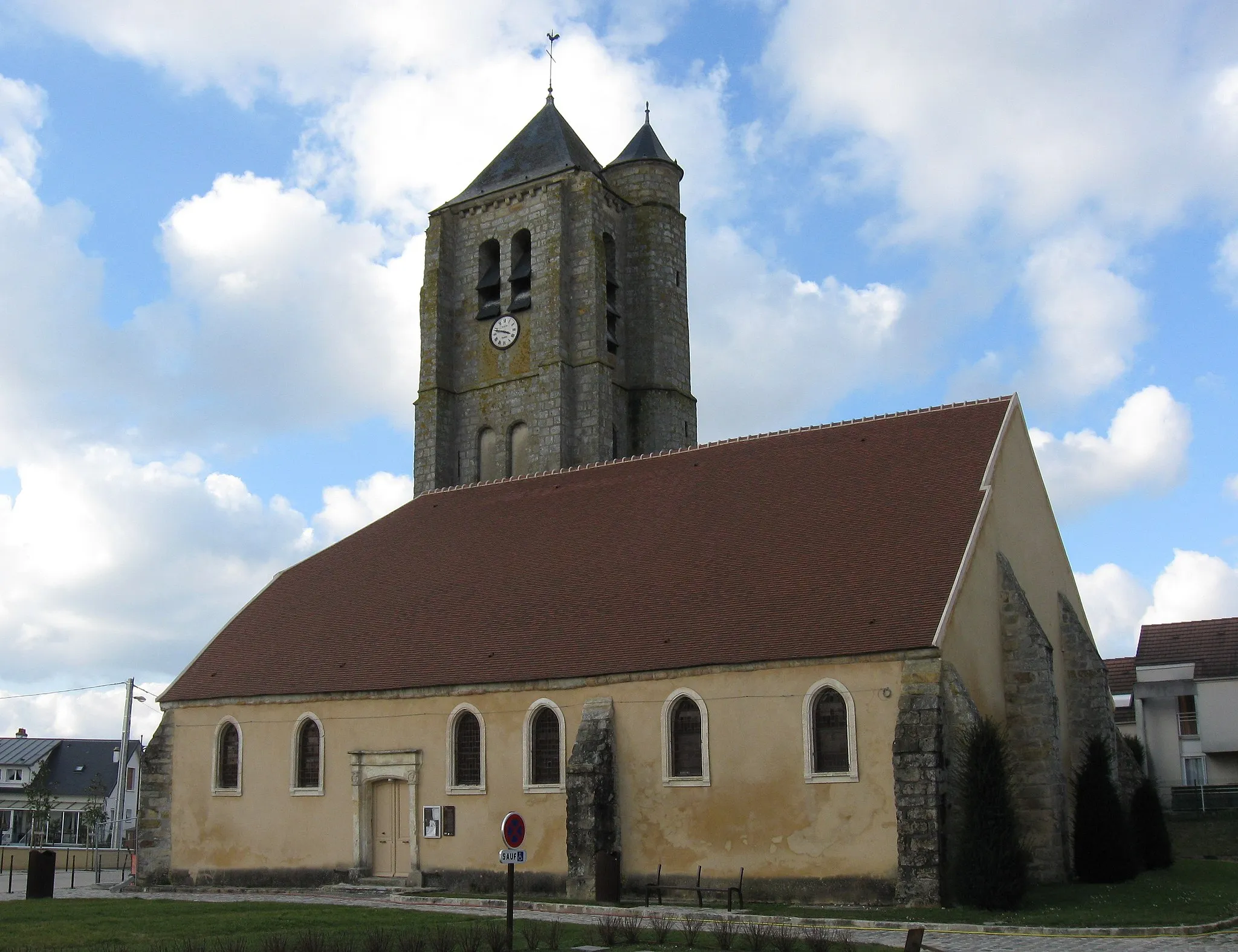
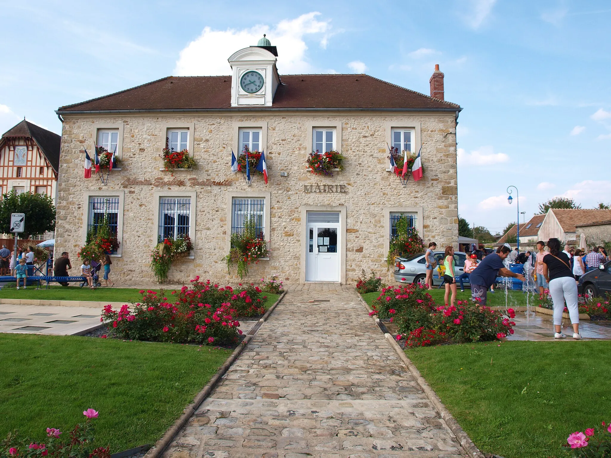
Marolles-sur-Seine, situated in Ile-de-France, France, is a hidden gem for road and gravel cyclists. Surrounded by idyllic farmland and vineyards, this locality offers stunning scenery and peaceful routes. The relatively flat terrain makes it ideal for beginners and leisure cyclists. Just a short ride away is the famous Côte de Marolles, a well-known climb beloved by cyclists. If you're craving a taste of French countryside charm and a rewarding cycling experience, Marolles-sur-Seine won't disappoint.
Brie and Bassée
Ride through picturesque villages in the Brie region and along the Bassée River.
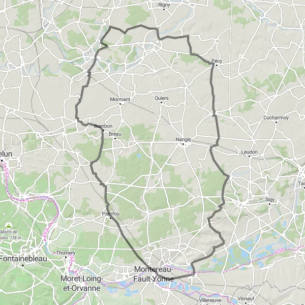
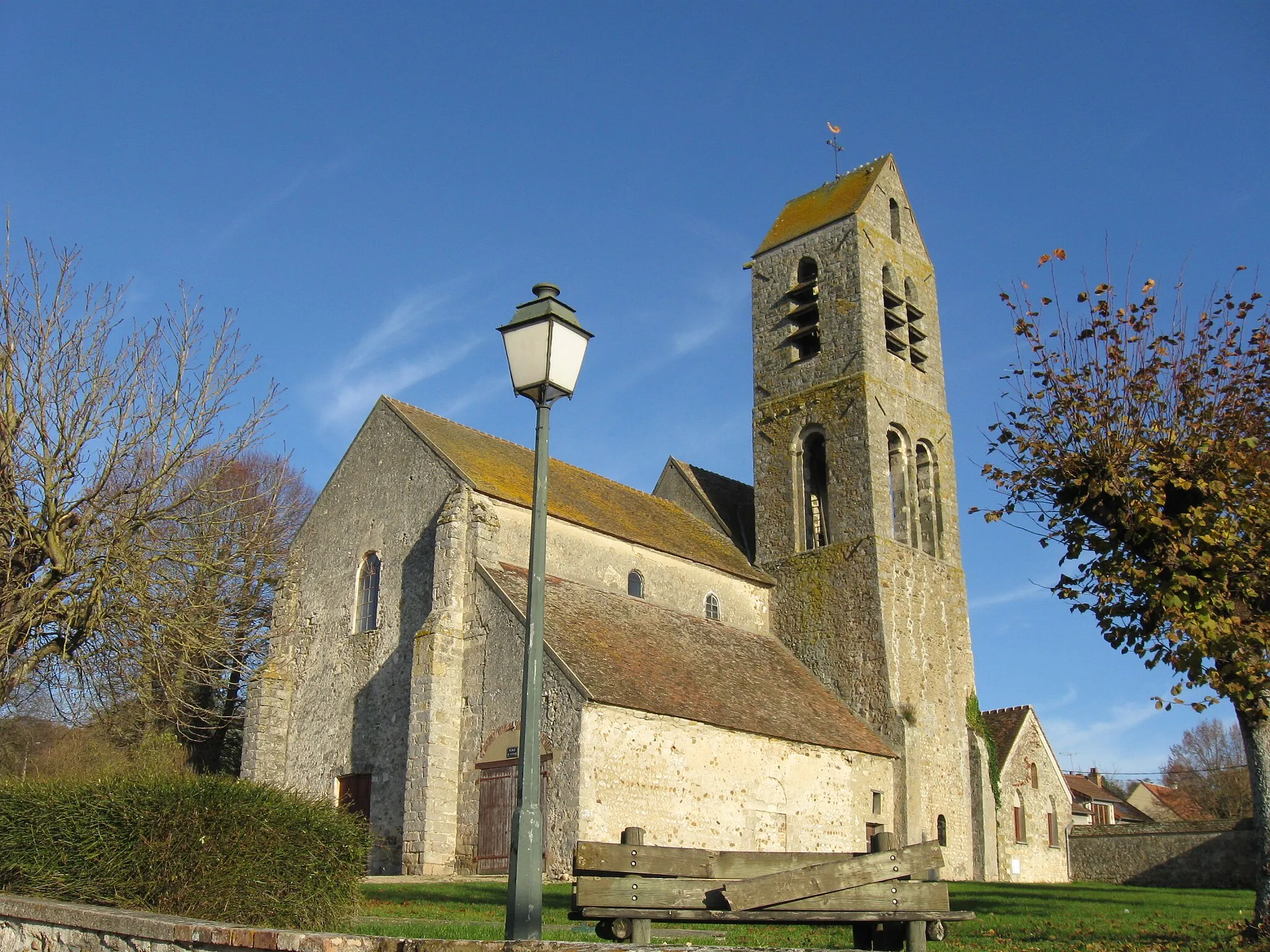
This route takes you through the beautiful Brie region, known for its charming villages and agricultural landscapes. The ride starts in Marolles-sur-Seine and takes you on a scenic journey through historic sites and beautiful natural scenery. With a total distance of 112 km and an ascent of 501 meters, this route is suitable for experienced cyclists. The difficulty level is rated as a 3 out of 5. The highlights along the route include the ancient prison in Chaumes-en-Brie and the quaint village of Chalautre-la-Reposte. Scored at a 5, these highlights offer interesting historical and cultural insights.
Embark on a thrilling road cycling adventure near Marolles-sur-Seine
Explore the outskirts of Marolles-sur-Seine on this 98 km long road route with a challenging elevation gain of 443 meters. Admire the architectural beauty of La Chapelle-Rablais at the 17 km mark. Gastins, at 31 km, is renowned for its charming countryside landscape. Recharge in Jouy-le-Châtel, known for its vibrant atmosphere, at 41 km. As you pedal further, you'll reach Chenoise (53 km) and Everly (76 km). Don't miss the stunning views of Bazoches-lès-Bray (86 km) and the quaint village of La Tombe (94 km).
Vimpelles to Misy-sur-Yonne
Cycle from Vimpelles to Misy-sur-Yonne for an unforgettable journey
Embark on a captivating road cycling journey from Vimpelles to Misy-sur-Yonne near Marolles-sur-Seine. This 87-kilometer route offers a moderate difficulty level with an ascent of 414 meters, making it suitable for well-trained amateur cyclists seeking an exciting challenge. Explore Vimpelles, Bray-sur-Seine, Fontaine-Fourches, Grange-le-Bocage, Michery, and Misy-sur-Yonne along the way, each offering unique attractions and breathtaking landscapes. With an epicness score of 3, this route guarantees an unforgettable cycling experience through French countryside. Discover the historical landmarks, idyllic scenery, and captivating charm of each destination as you pedal through the picturesque surroundings.
Explore the charming village of Saint-Germain-Laval
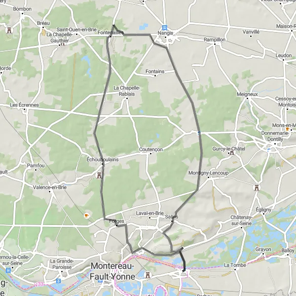
This route takes you through picturesque French countryside, starting near Marolles-sur-Seine. The highlight of the ride is the charming village of Saint-Germain-Laval, where you can enjoy the beautiful scenery and discover the local culture. With a moderate difficulty level and an epicness score of 4, this route offers a pleasant cycling experience for well-trained amateurs. The highlights of the route include Échouboulains, Nangis, Valjouan, and Montigny-Lencoup with their unique attractions. The route covers a distance of 53 kilometers with an ascent of 284 meters.
The Gravel Loop
Discover the scenic countryside near Marolles-sur-Seine on this adventurous gravel route
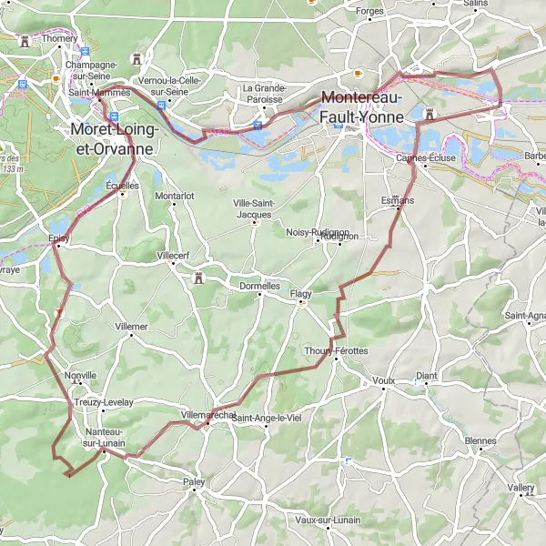
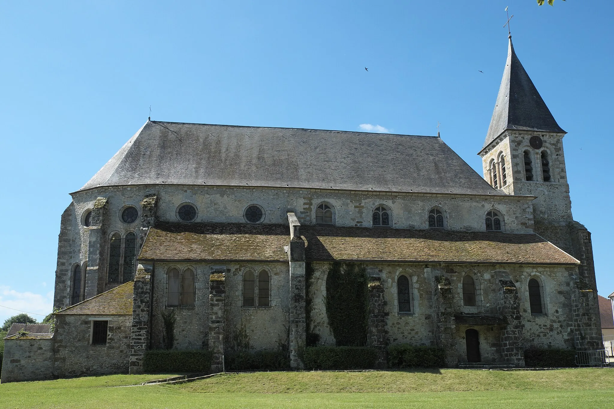
Embark on a 71 km long gravel adventure through picturesque villages and rich landscape near Marolles-sur-Seine. This route offers a diverse terrain with moderate ascents and a total elevation gain of 383 meters. Experience the charm of Esmans at the 7 km mark, followed by Villemaréchal at 22 km. As you approach Nanteau-sur-Lunain at the 27 km mark, you'll be greeted by beautiful views. Don't miss the Château de Nonville at the 34 km mark, before reaching Le Lavoir at 46 km. Further along the route, visit the historic Prison (ancienne) at 63 km and Tréchy at 68 km.
Châtenay-sur-Seine Adventure
Embark on an exciting cycling adventure to Châtenay-sur-Seine
Experience the thrill of an adventurous road cycling journey to Châtenay-sur-Seine. This road route offers a moderate difficulty level with an ascent of 408 meters, making it suitable for well-trained amateur cyclists seeking a challenge. Marvel at the breathtaking landscapes as you ride through picturesque French countryside near Marolles-sur-Seine. Highlights of the route include Châtenay-sur-Seine, Bray-sur-Seine, Villuis, Vertilly, Michery, and Misy-sur-Yonne. Each destination offers its own unique attractions, historical landmarks, and scenic views. This 77-kilometer route is an ideal choice for cycling enthusiasts looking to combine physical exertion with exploration.
Experience the natural beauty near Marolles-sur-Seine on this scenic gravel ride
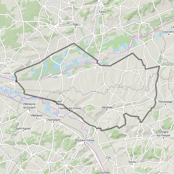
Enjoy a picturesque 55 km gravel ride near Marolles-sur-Seine, showcasing the diverse landscapes of the region. With a manageable elevation gain of 148 meters, this route is perfect for riders of all abilities. Marvel at the captivating beauty of La Tombe at the 4 km mark, known for its stunning views and traditional architecture. Onwards, discover the charm of Compigny at 24 km, with its idyllic countryside. Michery (34 km) presents an opportunity to explore historic churches. Finally, return to Marolles-sur-Seine (55 km) where you can immerse yourself in the village's cultural ambiance.
World of Gravel
Escape to the world of gravel cycling
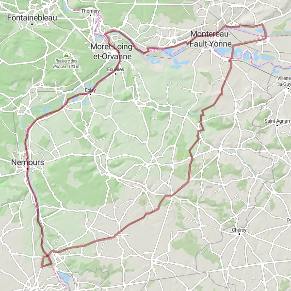
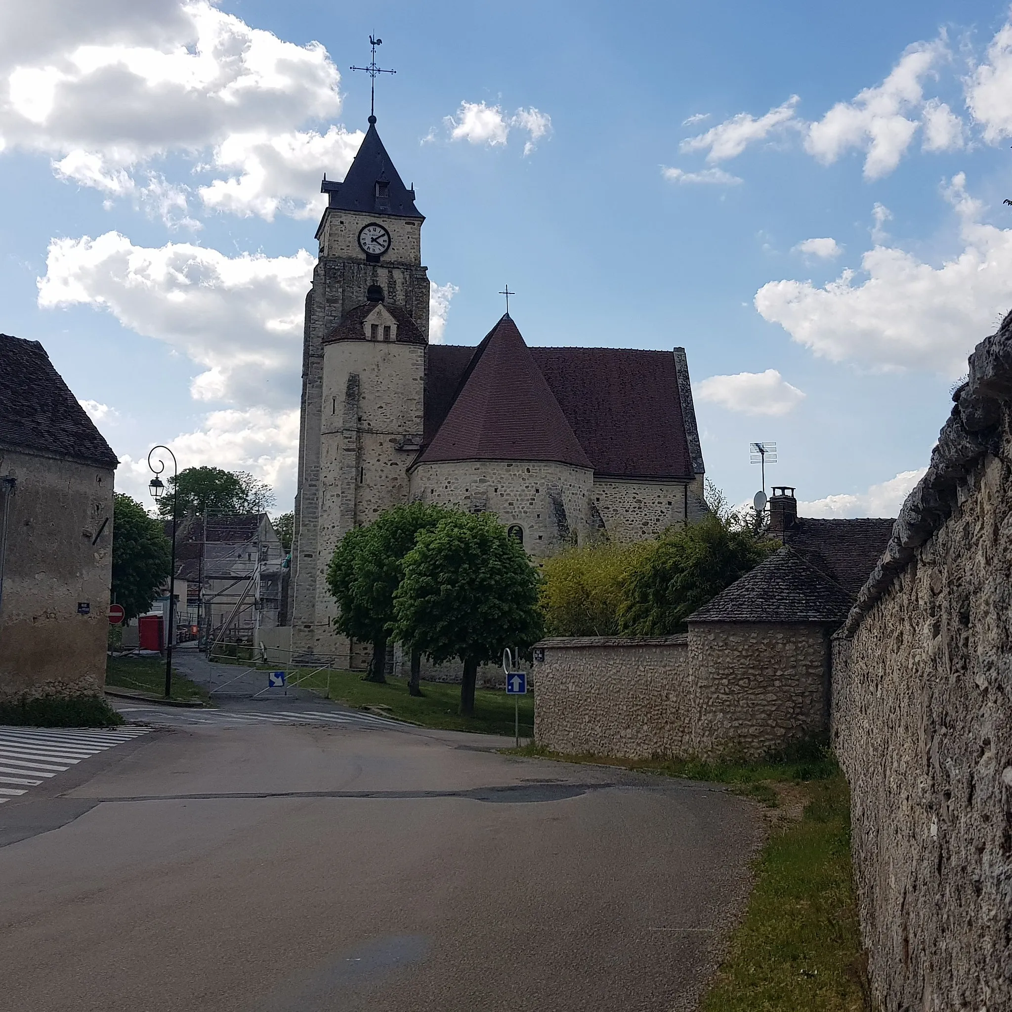
Get off the beaten path and explore the world of gravel cycling near Marolles-sur-Seine. This gravel route covers a distance of 95 kilometers and offers a moderate difficulty level with an ascent of 362 meters. With an epicness score of 3, this route allows cyclists to experience the thrill of gravel riding while enjoying the beautiful French countryside. Discover notable highlights such as Le Lavoir, Saint-Mammès, Prison (ancienne), Marolles-sur-Seine, Lorrez-le-Bocage, Chaintreaux, and Nemours, each offering unique gravel paths and rewarding scenery. Embark on this adventure and immerse yourself in the tranquility and serenity of the gravel roads.
Uncover the hidden gems near Marolles-sur-Seine on this scenic gravel route
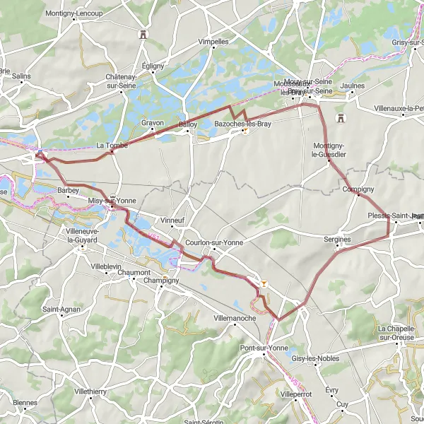
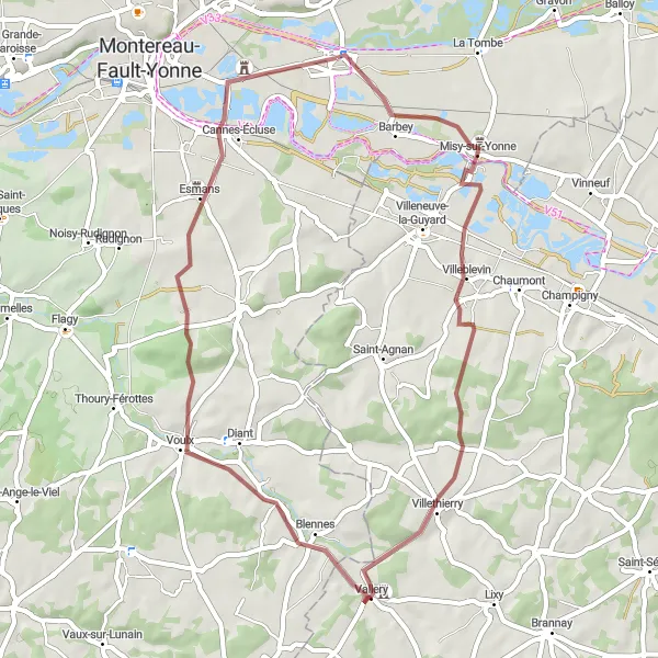
Embark on a 46 km gravel adventure through the beautiful countryside surrounding Marolles-sur-Seine. With a moderate total elevation gain of 309 meters, this route offers a mix of natural landscapes and rich cultural highlights. Visit Misy-sur-Yonne at the 5 km mark, known for its unique ancient architecture. Explore the charming village of Vallery at 22 km, boasting historical landmarks. Don't miss a stop at Esmans (38 km) which offers panoramic views. Lastly, return to Marolles-sur-Seine at the 46 km mark where you get a chance to explore the picturesque village.
Experience the beauty of Beauchery-Saint-Martin valley
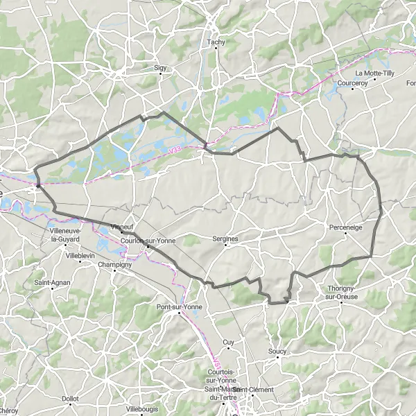
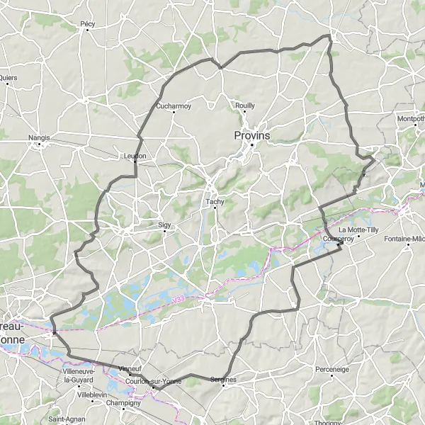
Embark on a cycling adventure through the stunning Beauchery-Saint-Martin valley near Marolles-sur-Seine. This road route offers a challenging ascent of 686 meters, making it suitable for well-trained amateurs seeking a bit of a challenge. With an epicness score of 4, this route promises unforgettable scenic views and exhilarating downhill rides. Explore Chalautre-la-Reposte, Saint-Hilliers, Beauchery-Saint-Martin, Courceroy, Compigny, and Misy-sur-Yonne along the way, each offering its own unique attractions and stunning landscapes. Covering a distance of 122 kilometers, this route is perfect for adventurers looking for an epic cycling experience.
Cycling routes nearby:

Nearby regions: