Cycling through the stunning landscapes of Languedoc-Roussillon
Cycling routes from Saint-Pons-de-Thomieres
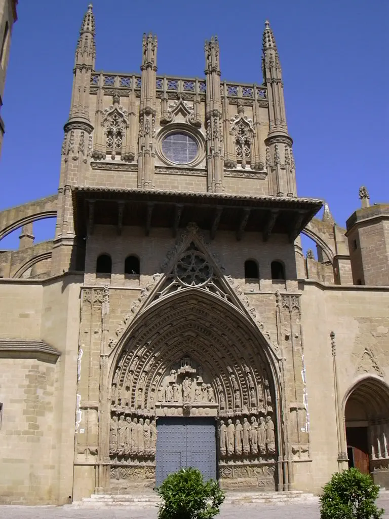
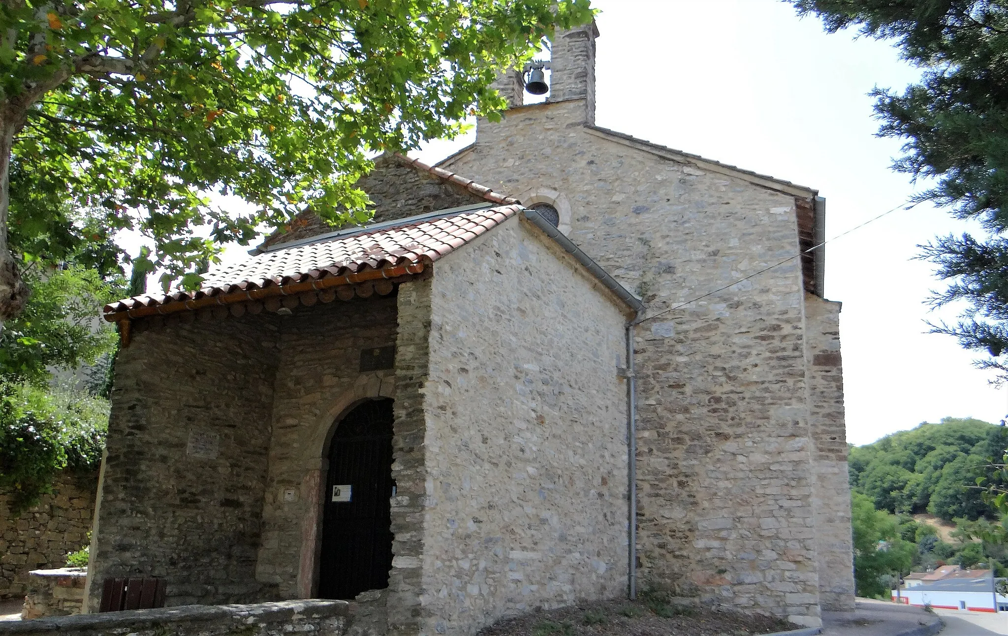
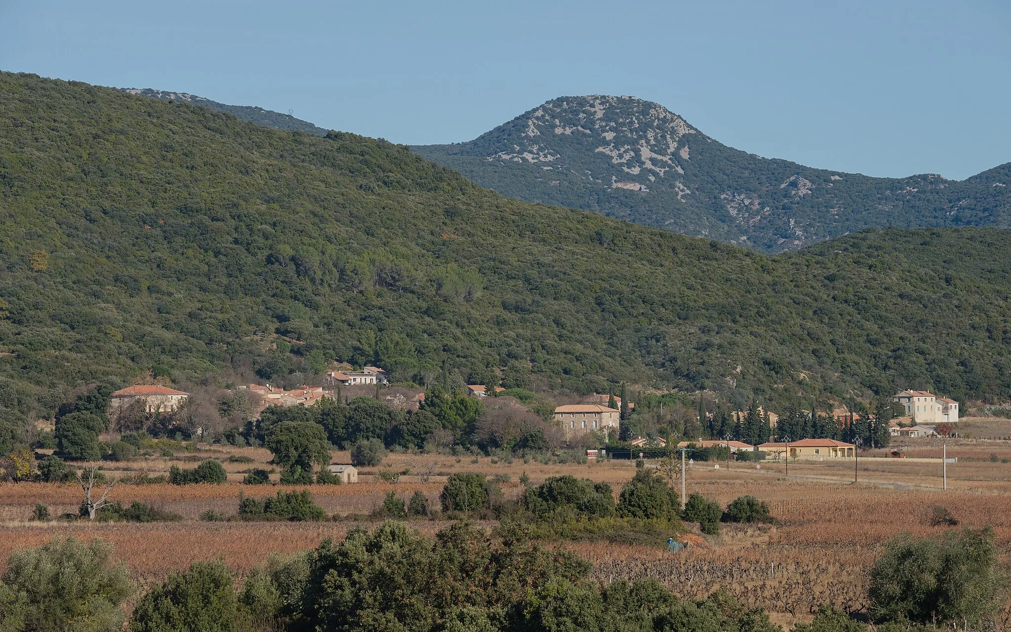
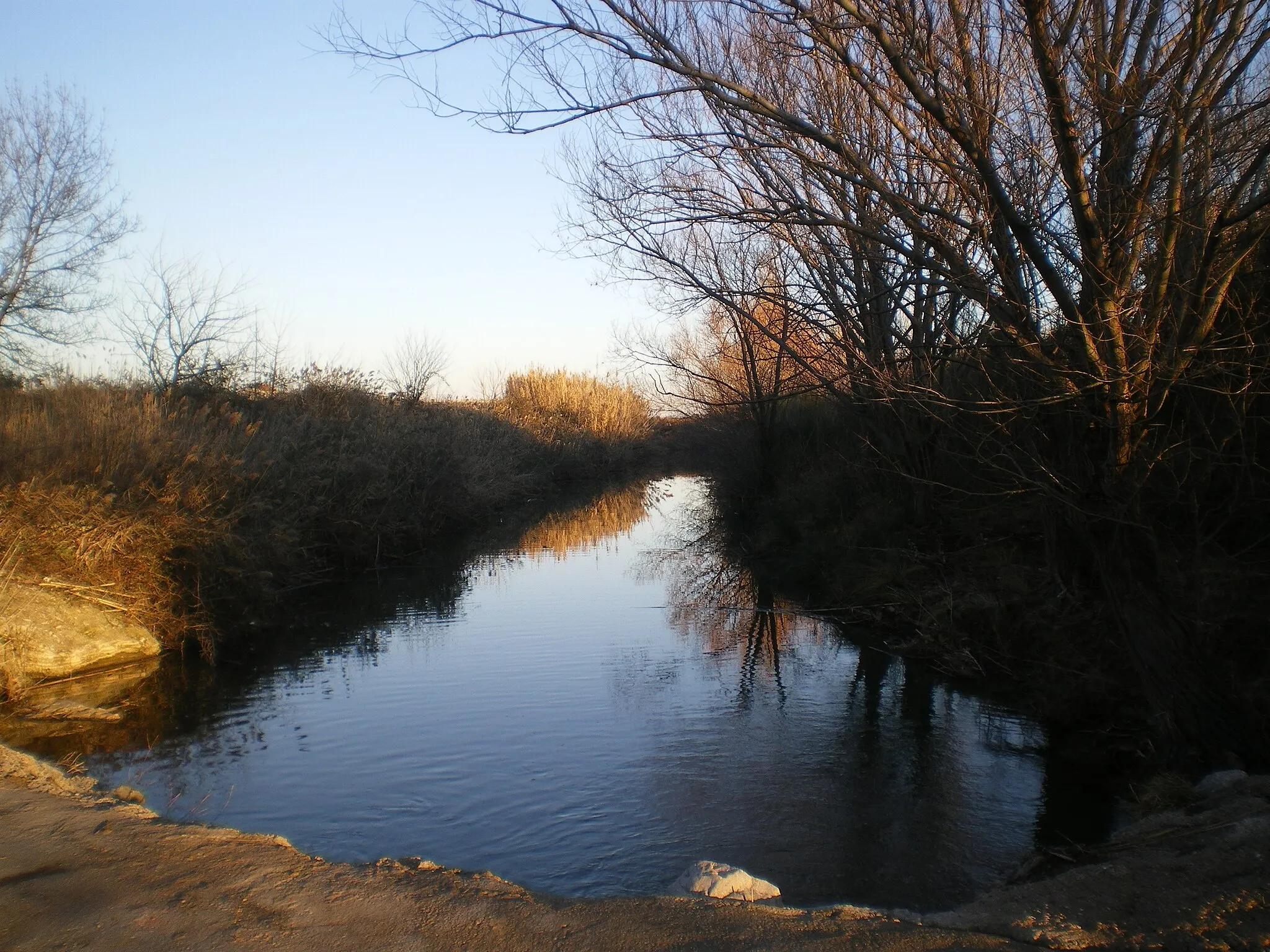
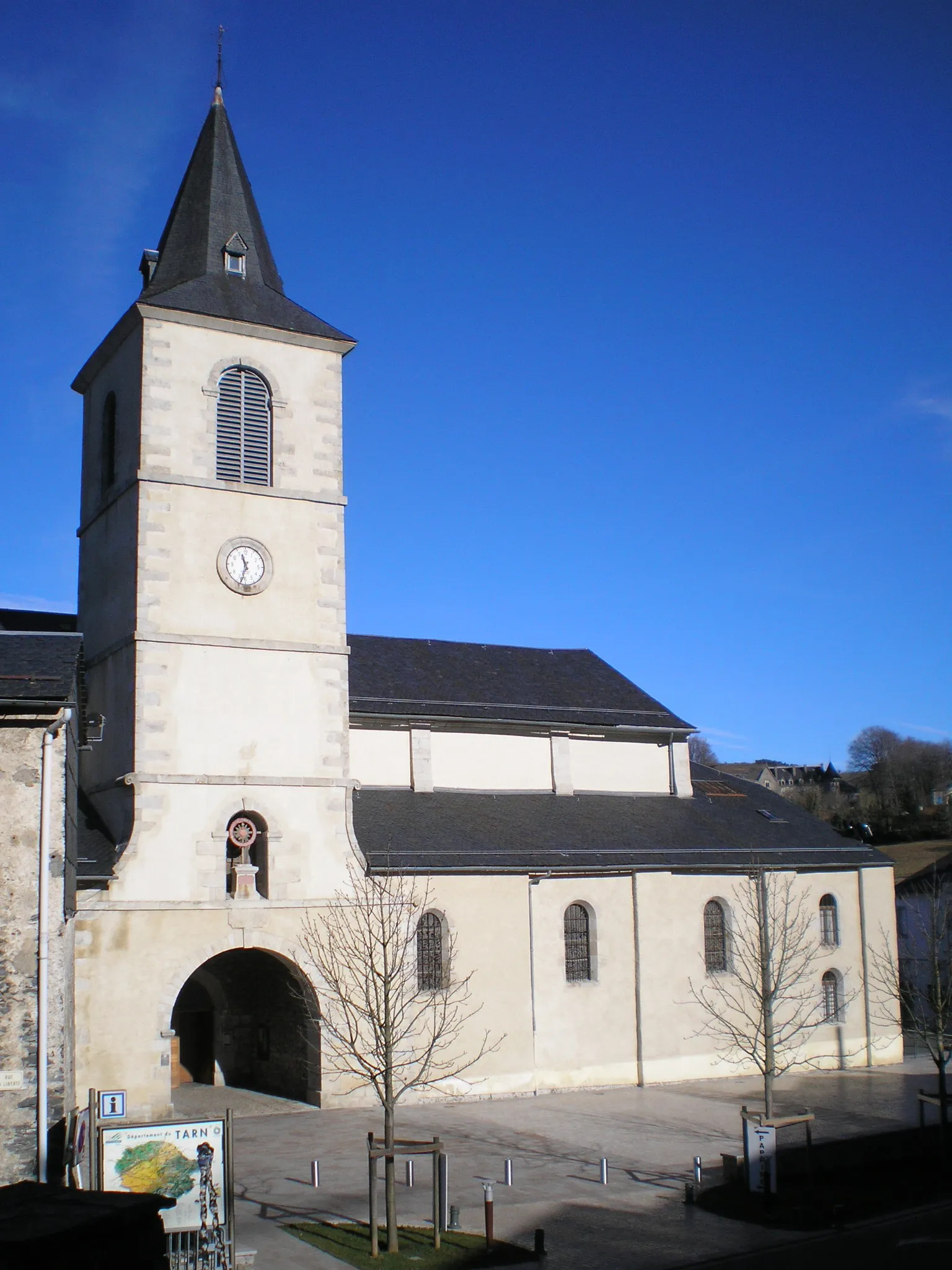
Saint-Pons-de-Thomières is a delightful town located in the Languedoc-Roussillon region of France. As a cyclist, you'll be treated to stunning views of the surrounding mountains and lush green landscapes. The area offers a mix of challenging climbs, cycling-friendly roads, and peaceful countryside routes. Nearby, you'll find the famous climb of Mont Caroux, known for its picturesque scenery and challenging gradients. Saint-Pons-de-Thomières is a popular destination for road cycling enthusiasts and gravel riders alike. With its scenic beauty and varied terrain, this town is a rewarding destination for cyclists of all levels.

An epic journey through the beautiful landscapes of Languedoc-Roussillon
This round-trip cycling route starting near Saint-Pons-de-Thomières takes you on a scenic journey through the stunning landscapes of Languedoc-Roussillon. With a distance of 70 kilometers and an ascent of 1336 meters, this route is suitable for well-trained amateur cyclists. The route offers breathtaking views, challenging climbs, and unique highlights along the way.
Embark on a gravel biking journey near Saint-Pons-de-Thomières, surrounded by stunning natural landscapes
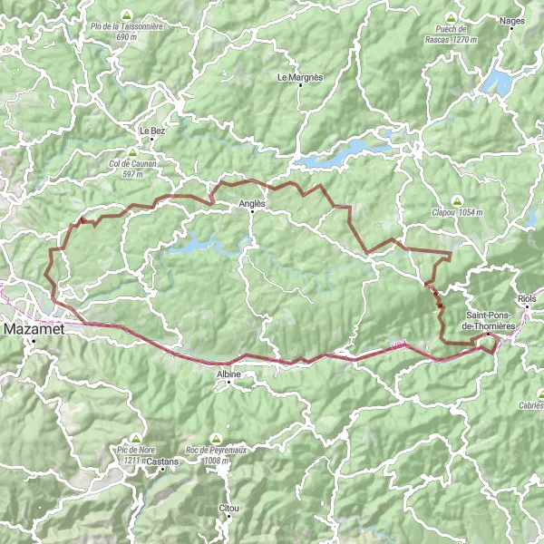
Escape the beaten path and explore the picturesque landscapes near Saint-Pons-de-Thomières on this gravel biking adventure. With a total ascent of 1745 meters and a distance of 94 kilometers, this route offers a challenging yet rewarding experience. Highlights of the route include Table d'orientation, Labastide-Rouairoux, Saint-Amans-Valtoret, and Le Rialet. These scenic spots provide perfect opportunities to enjoy the beauty of nature and discover hidden gems along the way. The difficulty level of this route is 3 out of 5, suitable for well-trained amateur cyclists looking to explore off-road terrains. The epicness factor is 4 out of 5, thanks to the breathtaking landscapes and unique gravel biking experience.
Embark on a challenging gravel cycling adventure near Saint-Pons-de-Thomières, surrounded by stunning natural beauty
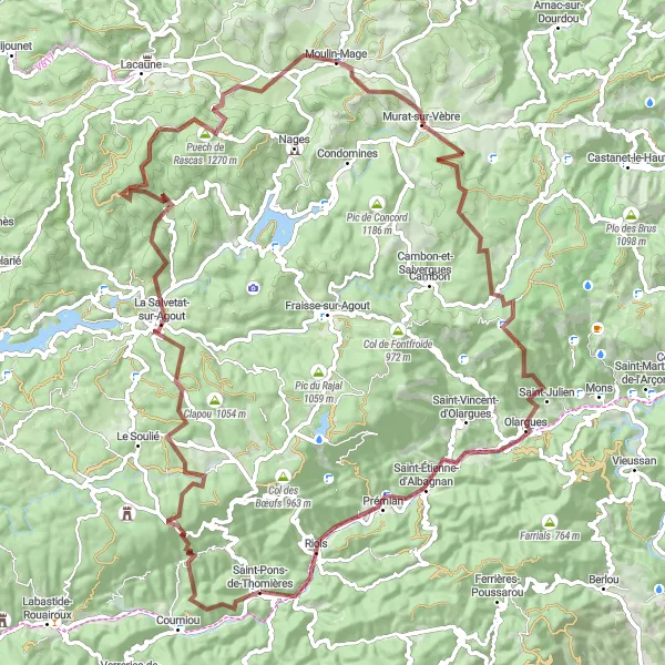
Prepare for a challenging gravel cycling adventure near Saint-Pons-de-Thomières, surrounded by awe-inspiring natural beauty. This route features a total ascent of 2588 meters and covers a distance of 102 kilometers, providing a thrilling journey for gravel enthusiasts. Highlights of this route include Saint-Pons-de-Thomières, Col des Thérondels, La Salvetat-sur-Agout, Moulin-Mage, and Saint-Pierre de l'Espinouse. These locations offer breathtaking views and the opportunity to witness diverse landscapes. The difficulty level of this route is 4 out of 5, recommended for well-trained amateur cyclists seeking a demanding gravel adventure. The epicness factor is 4 out of 5, thanks to the challenging terrain and picturesque surroundings.

Embark on a gravel cycling journey through scenic landscapes near Saint-Pons-de-Thomières
This gravel cycling route near Saint-Pons-de-Thomières takes you on an unforgettable journey through scenic landscapes. With a total ascent of 1927 meters and a distance of 72 kilometers, it offers a challenging adventure for gravel enthusiasts. Highlights of this route include Saint-Pons-de-Thomières, Col des Thérondels, La Salvetat-sur-Agout, and Col du Pradel. These locations provide opportunities to appreciate the beauty of nature and immerse yourself in the peaceful countryside. The difficulty level of this route is 3 out of 5, making it suitable for well-trained amateur cyclists seeking a gravel cycling experience. The epicness factor is 3 out of 5, thanks to the scenic landscapes and unique gravel terrain.
Discover breathtaking views on this challenging road biking route near Saint-Pons-de-Thomières
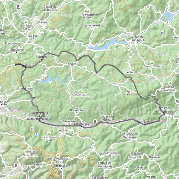
This road cycling route near Saint-Pons-de-Thomières offers a rewarding challenge for experienced cyclists. With a total ascent of 1699 meters and a distance of 86 kilometers, it is not for the faint-hearted. Along the way, you will encounter highlights such as Table d'orientation, Courniou, col de Bourdié, and Saint-Amans-Soult. These beautiful locations are perfect for a rest and offer stunning scenery. The difficulty level of this route is 4 out of 5, making it suitable for well-trained amateur cyclists looking for a challenging adventure. The epicness factor of this route is 4 out of 5, thanks to its impressive ascents and picturesque landscapes.
Saint-Étienne-d'Albagnan Loop
Cycling through beautiful landscapes and small medieval towns
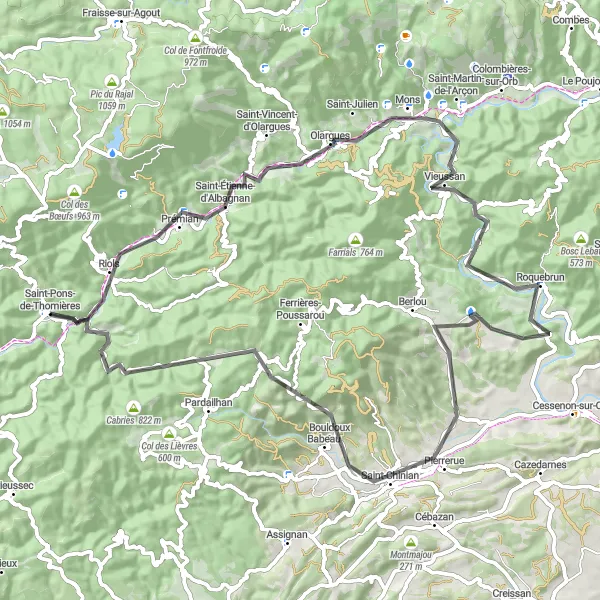
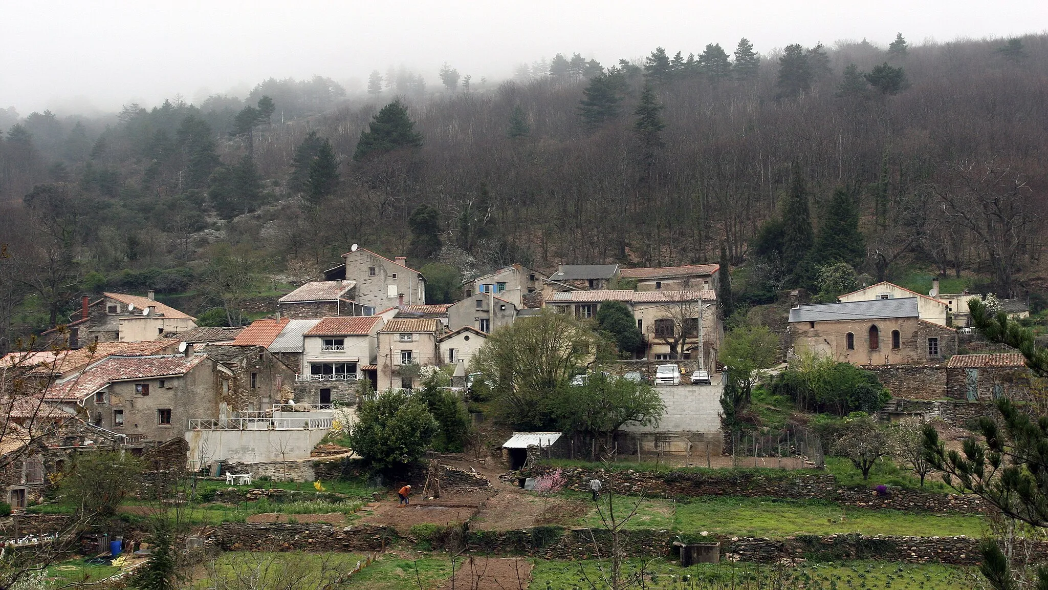
This 78-km road cycling route takes you through stunning landscapes and charming medieval towns in the Languedoc-Roussillon region of France. With a total ascent of 1078 meters, this loop offers a moderate challenge for well-trained amateur cyclists. Starting near Saint-Pons-de-Thomières, highlights along the route include Saint-Étienne-d'Albagnan, known for its picturesque village center, Montagne de Sainte-Croix offering panoramic views, and Roquebrun, a lovely riverside village with gardens and a Mediterranean garden. Col de la Pierre Blanche, known for its challenging ascent, adds an extra thrill to this ride.
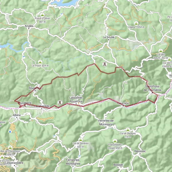
Explore the off-beaten paths through rugged terrain
This 52-km gravel cycling route takes you through the rugged terrain of the Haut-Languedoc region. With a total ascent of 1080 meters, this off-beaten path is perfect for those looking for an adventurous cycling experience. Starting near Saint-Pons-de-Thomières, highlights along the route include Table d'orientation offering panoramic views of the surrounding scenery, Courniou with its ancient stone bridge and picturesque houses, and Col de Bourdié, a challenging climb with stunning vistas. Enjoy the tranquility and natural beauty of Lacabarède, Rouairoux, and Château de Grandsagnes, each offering unique landscapes and attractions. Col de Tailhos is the ultimate test for gravel cycling enthusiasts with its rugged terrain and beautiful views.
Prades-sur-Vernazobre Loop
Exploring rural landscapes and historic sites
This 89-km road cycling route takes you through picturesque rural landscapes and historic sites in the Languedoc-Roussillon region. With a total ascent of 1601 meters, this loop provides a challenging ride for well-trained amateur cyclists. Starting near Saint-Pons-de-Thomières, highlights along the route include Prades-sur-Vernazobre, a quaint village known for its narrow streets and old houses, Le Cadenas with its historic castle ruins, and Pardailhan, offering panoramic views of the surrounding countryside. Roquebrun, a riverside village with preserved architecture and a beautiful Mediterranean garden, is also worth a visit. Col de Rodomouls rewards cyclists with breathtaking vistas of the region.
Saint-Pons-de-Thomières Circuit
Embark on a challenging road cycling adventure around Saint-Pons-de-Thomières
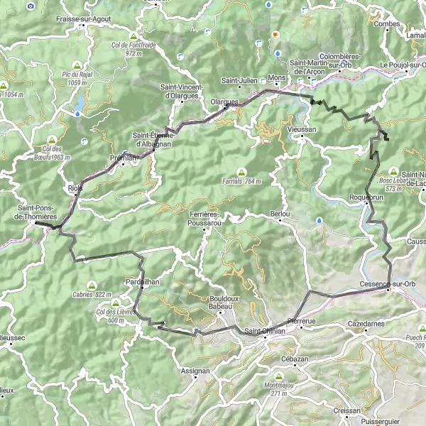
This round-trip cycling route near Saint-Pons-de-Thomières takes you on a thrilling journey through picturesque landscapes and challenging terrains. With a total distance of 121 kilometers and an ascent of 2704 meters, this ride is suitable for very well-trained amateurs looking for a rewarding cycling experience. As you pedal your way through the route, you'll encounter several highlights that add to its uniqueness and charm.
Conquer challenging climbs through stunning landscapes
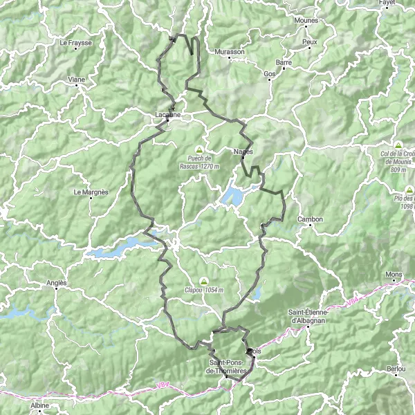
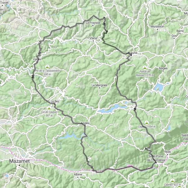
This 144-km road cycling route takes you on a mountainous adventure through the heart of Languedoc. With a total ascent of 2801 meters, this challenging loop is recommended for experienced cyclists. Starting near Saint-Pons-de-Thomières, highlights along the route include a visit to Saint-Pons-de-Thomières itself, with its historical charm and scenic surroundings. Col de la Fénille offers a tough climb but rewards with stunning views, while Lacabarède invites you to relax by its tranquil waters. Col du Fauredon, Vabre, and Puech du Salès add to the sense of conquering breathtaking peaks before reaching the town of Senaux. Lacaune and Col de Picotalen provide a remarkable test for endurance, and La Salvetat-sur-Agout and Col de la Baraque offer stunning scenery and a well-deserved sense of achievement.
Cycling routes nearby:

Nearby regions: