Coastal Cycling in Sète
Cycling routes from Sete
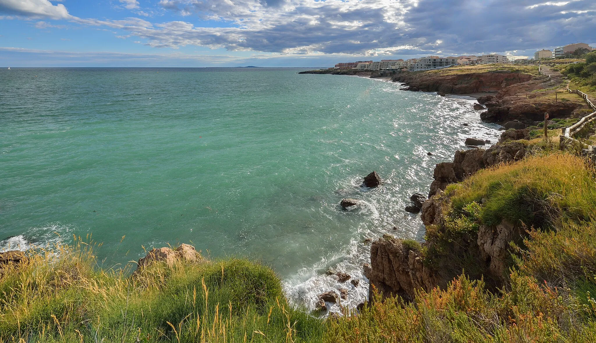
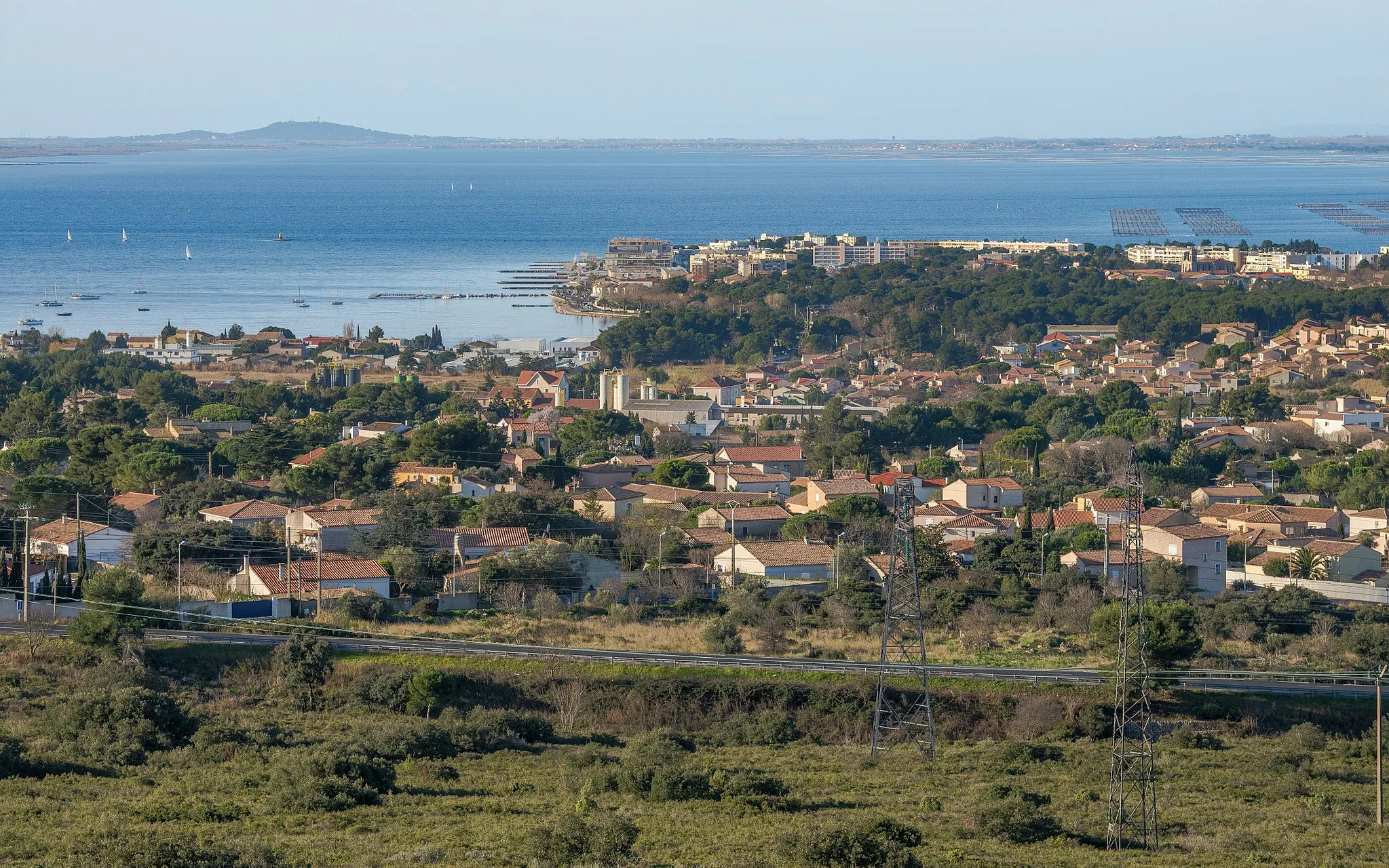
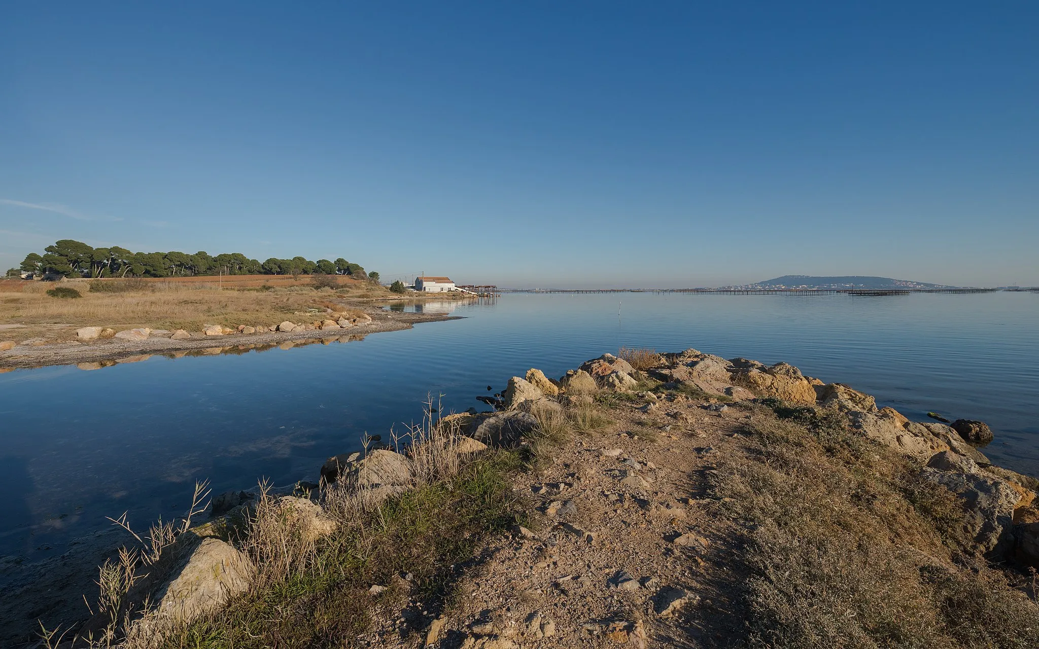
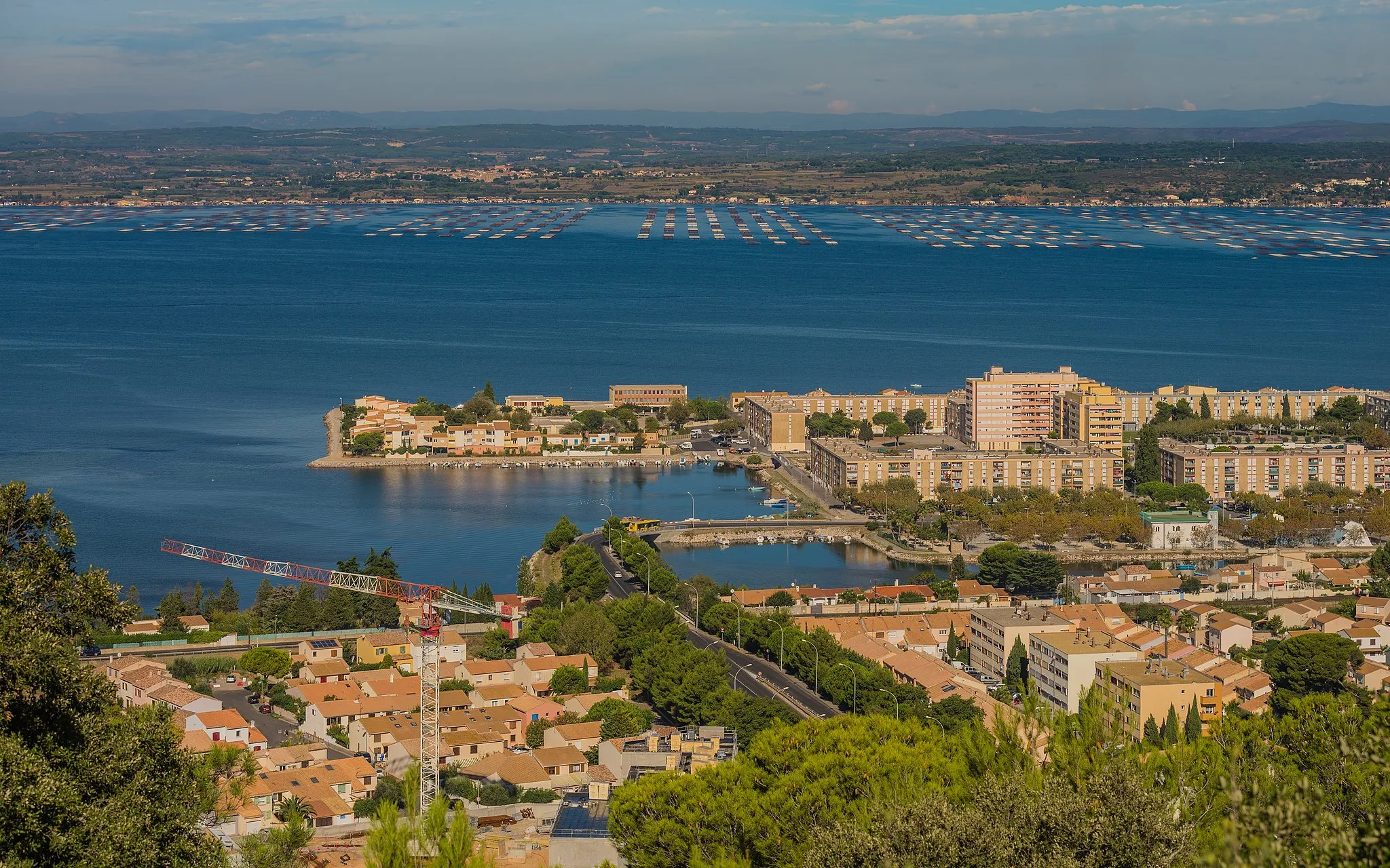
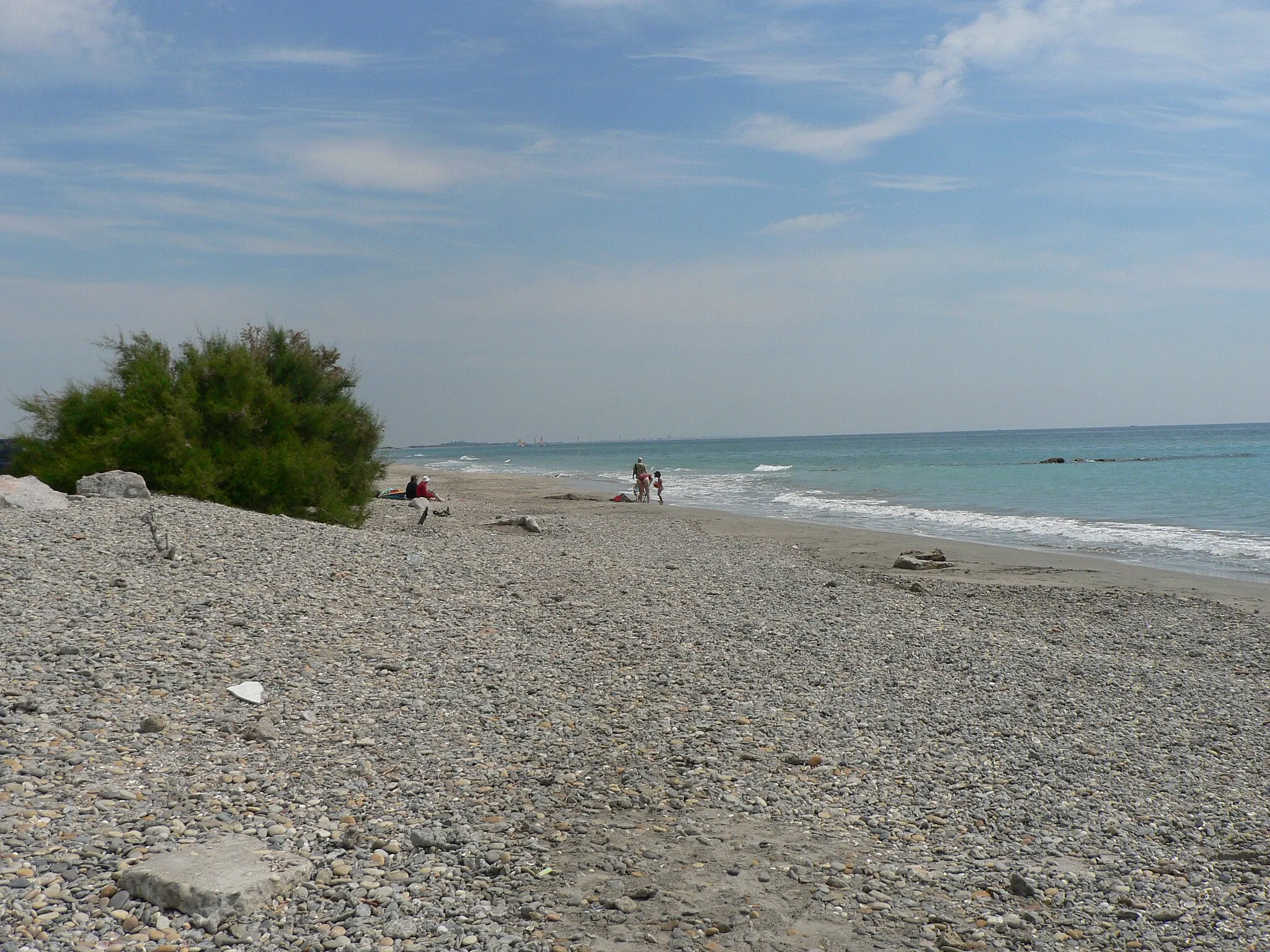
Sète is a vibrant coastal town located in the Languedoc-Roussillon region of France. From a cyclist's perspective, Sète offers stunning views of the Mediterranean Sea and a range of cycling routes to suit different preferences. The town has well-maintained bike paths that make it easy to explore its many beaches, promenades, and canals. Cycling along the scenic Thau Lagoon is a popular choice for road cyclists. Additionally, the Mont Saint-Clair climb near Sète attracts more experienced cyclists looking for a challenging ascent. Overall, Sète is a fantastic choice for cycling enthusiasts seeking coastal views and diverse terrain.
Embark on an exciting road cycling adventure from Sète to Mont Saint-Clair.
This 66km road cycling route will take you from Sète to the breathtaking Mont Saint-Clair. With a total ascent of 251m, cyclists can expect a moderate challenge and enjoy highlights such as the historic Phare Saint-Louis and the picturesque town of Balaruc-le-Vieux.
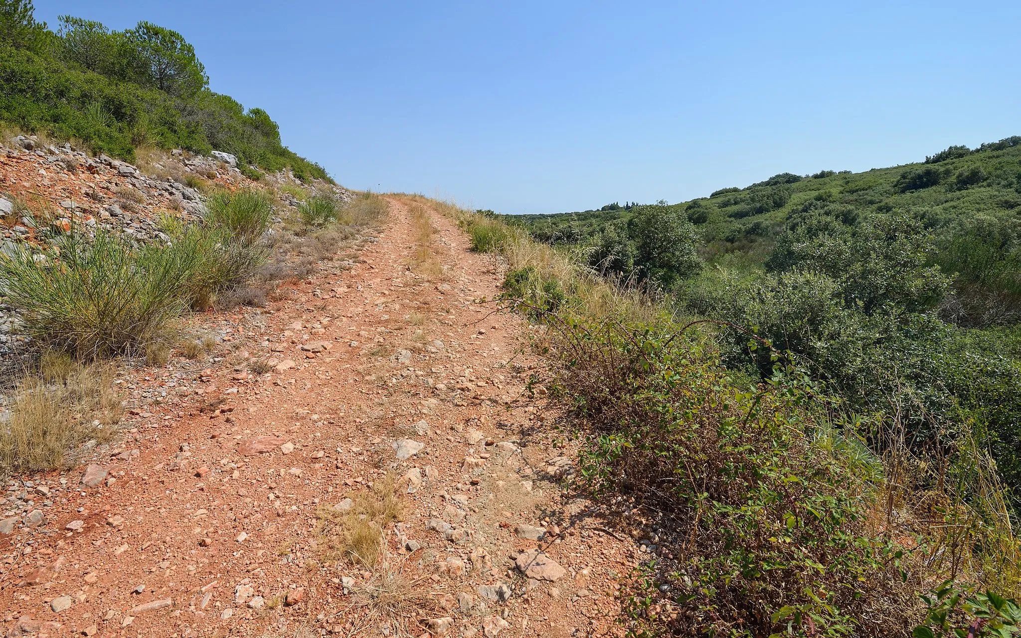
A thrilling gravel ride exploring the landscapes around Phare Saint-Louis
Embark on a thrilling gravel adventure around Phare Saint-Louis, a historic lighthouse located in Sète. With an ascent of 387m and a distance of 67km, this route offers a challenging yet rewarding experience for gravel enthusiasts. The difficulty level of this route is rated 3 out of 5, suitable for well-trained amateurs. The epicness rating is 3 out of 5, as it offers an opportunity to explore the unique landscapes surrounding Phare Saint-Louis.
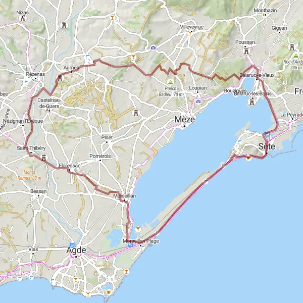
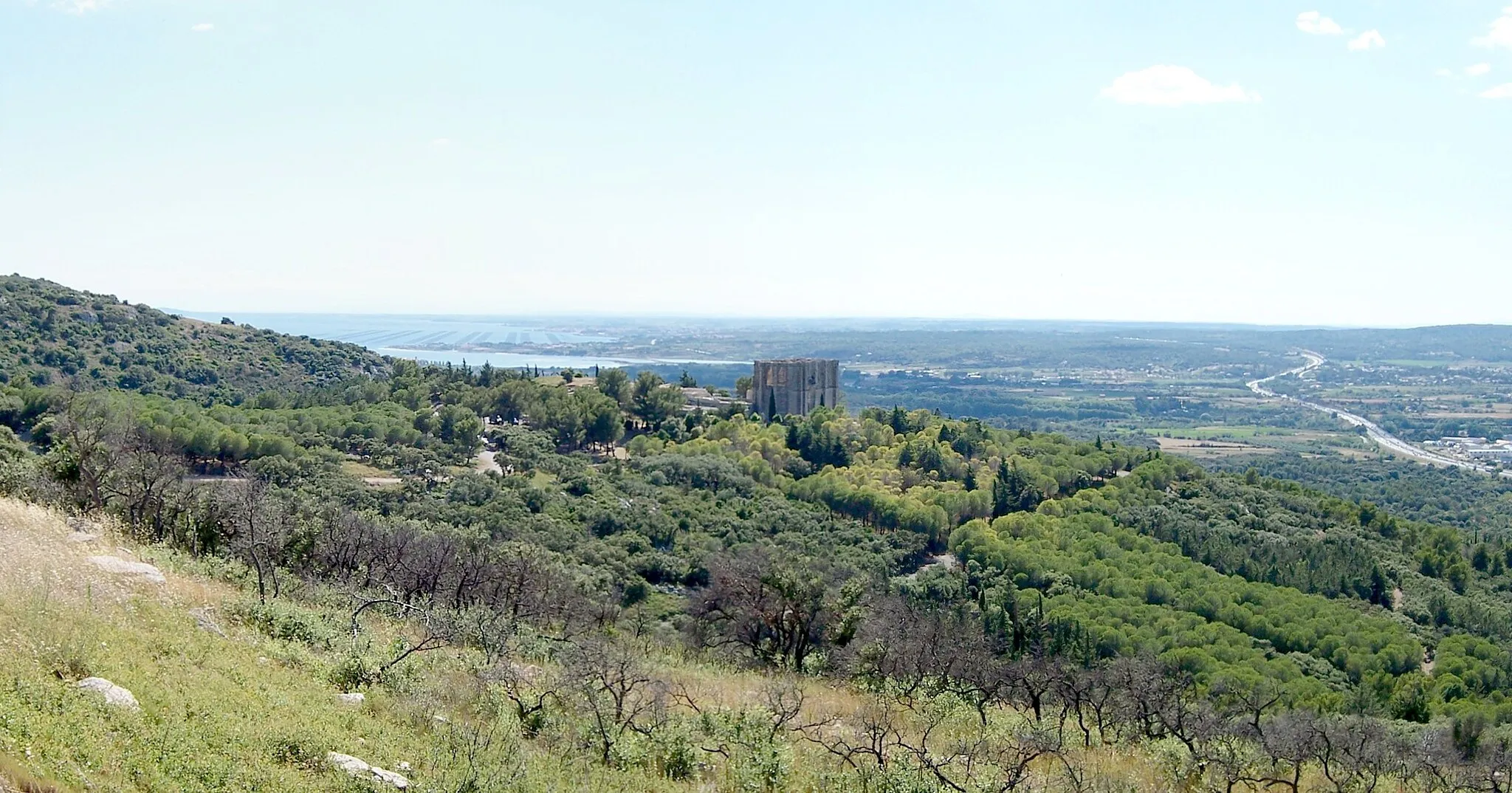
A challenging gravel ride with stunning views from Mont Saint-Clair
Explore the beautiful region of Languedoc-Roussillon on this challenging gravel route that takes you to the top of Mont Saint-Clair, offering stunning panoramic views of the coast and the surrounding areas. With an ascent of 429m and a distance of 81km, this route is perfect for experienced gravel cyclists looking for a scenic and challenging ride. The difficulty level of this route is rated 4 out of 5, suited for very well-trained amateurs. The epicness rating is 4 out of 5, as it offers breathtaking views and an opportunity to discover the unique landscapes of the region.
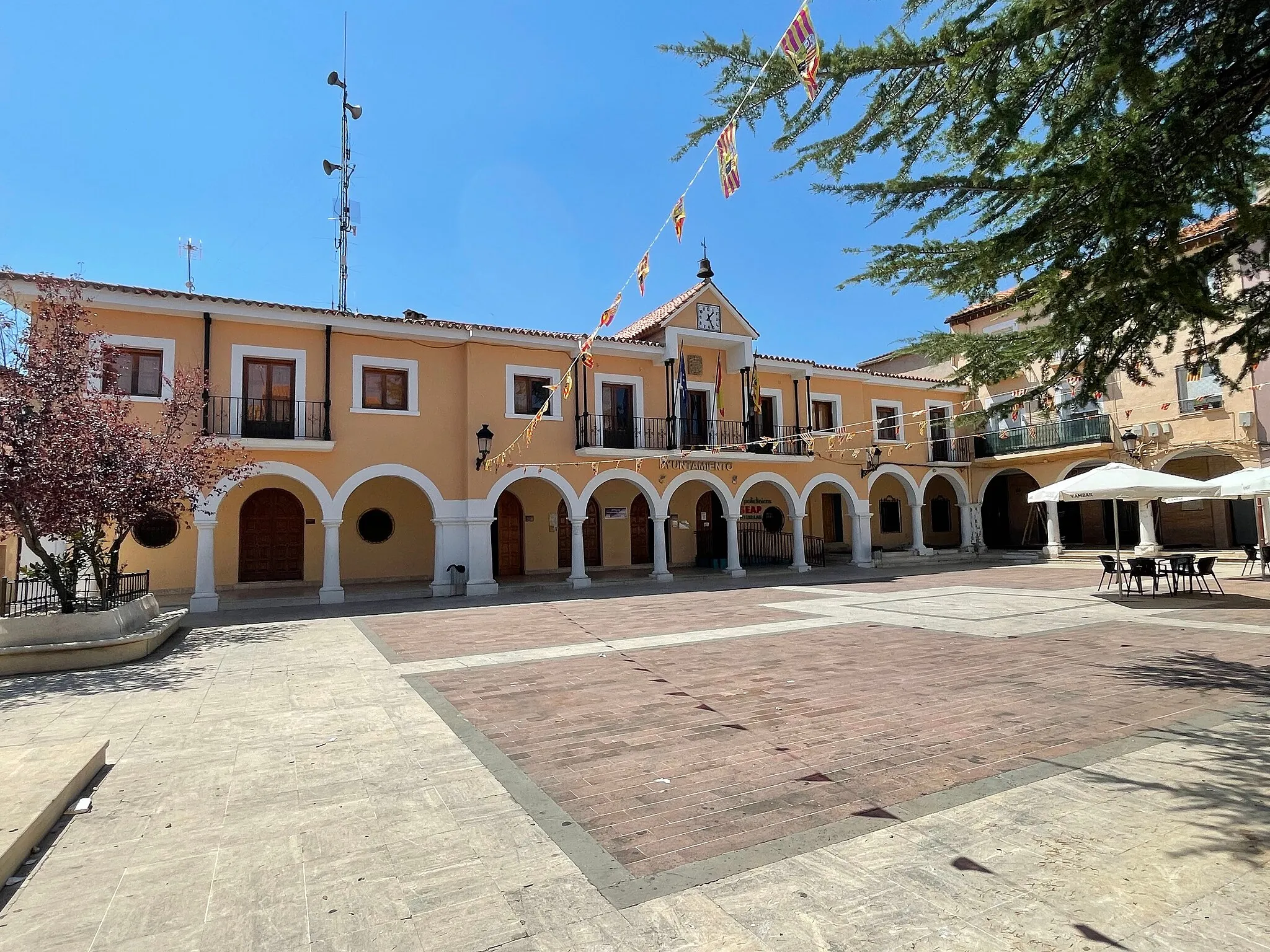
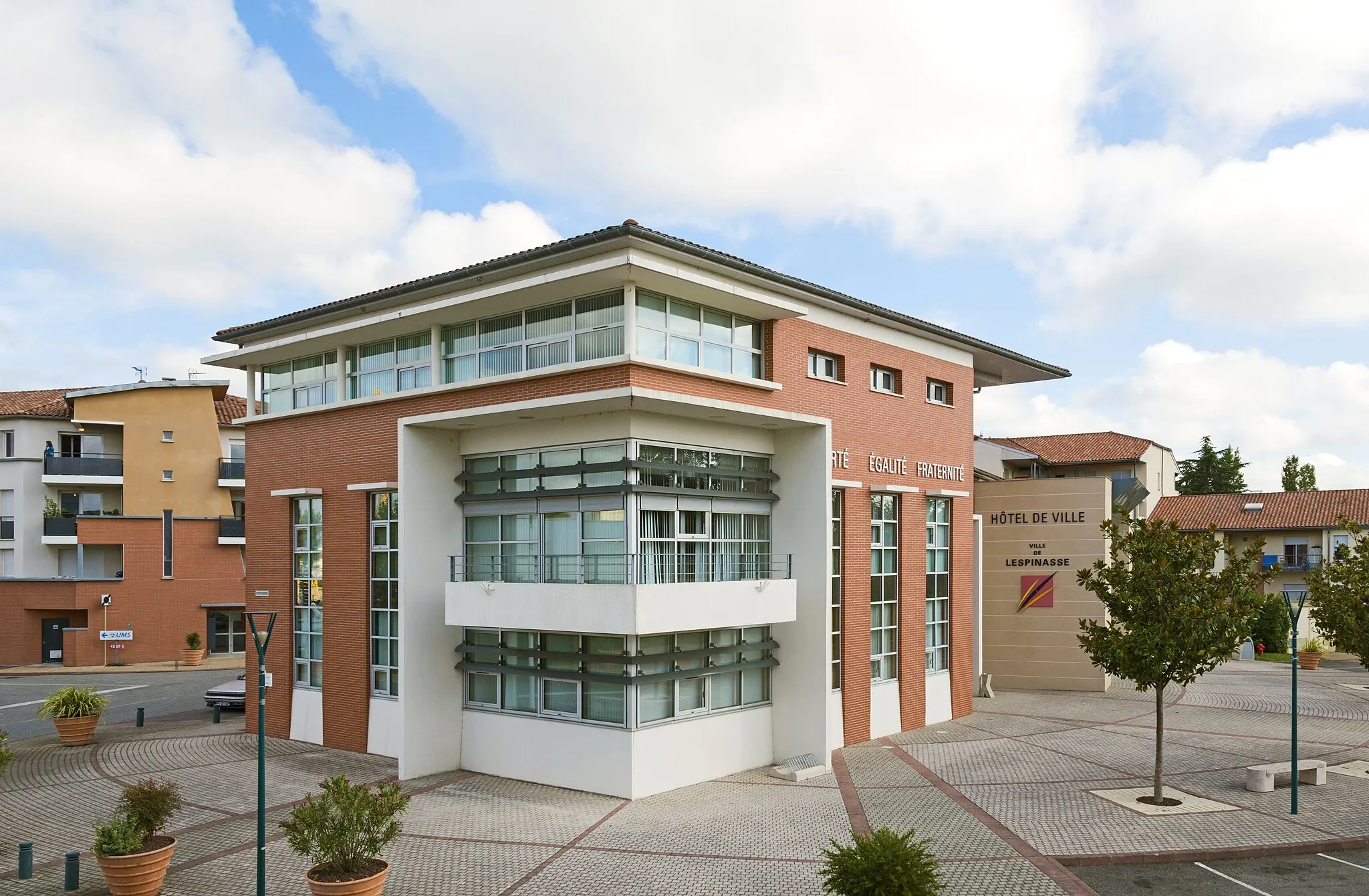
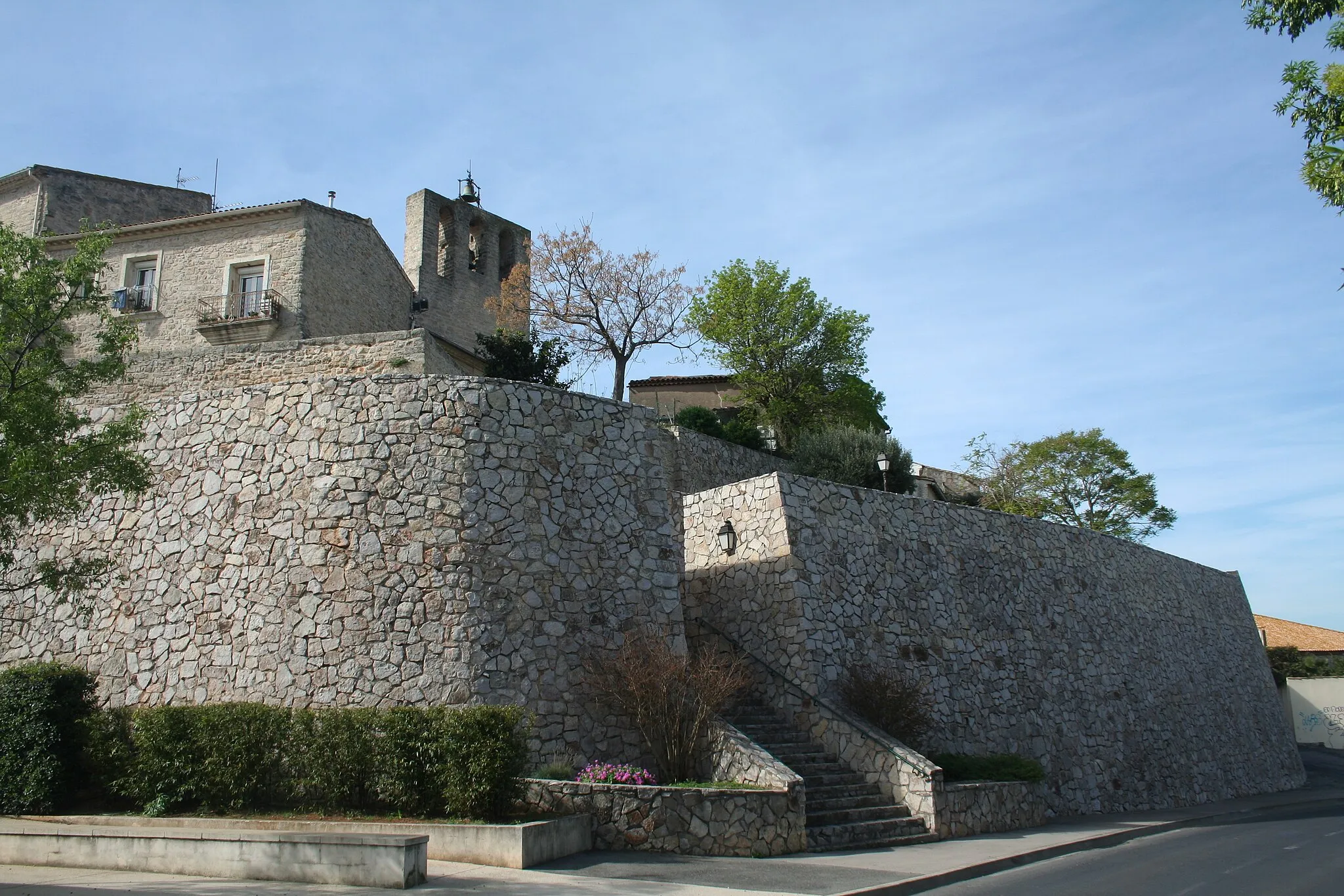
Roads and Villages of Languedoc
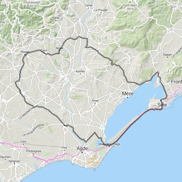
A scenic road cycling route through picturesque villages and stunning coastal views
Experience the beauty of the Languedoc-Roussillon region on this scenic road cycling route. With an ascent of 678m and a distance of 111km, this route is perfect for road cyclists looking to discover charming villages and enjoy breathtaking views of the coast. The difficulty level of this route is rated 3 out of 5, ideal for well-trained amateurs. The epicness rating is 3 out of 5, as it offers a mix of picturesque landscapes and cultural highlights along the way.
Discover the stunning landscapes around Mont Saint-Clair on this gravel route
Immerse yourself in the natural beauty of the Languedoc-Roussillon region on this gravel cycling route. With an ascent of 429m and a distance of 81km, this route takes you through picturesque landscapes and offers breathtaking views of the coast and the town of Sète from Mont Saint-Clair. The difficulty level of this route is rated 3 out of 5, suitable for well-trained amateurs. The epicness rating is 3 out of 5, as it combines challenging gravel paths with stunning vistas and cultural highlights.
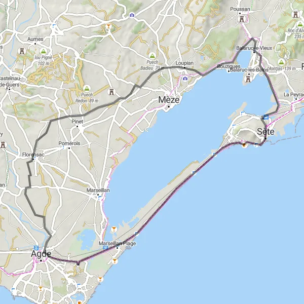
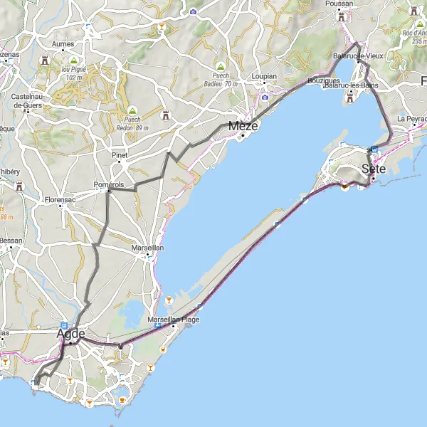
Embark on a challenging coastal road cycling route filled with steep climbs and stunning views.
This 64km road cycling route offers a thrilling adventure with its challenging climbs and scenic coastal views. Highlights include the historic Phare Saint-Louis and the picturesque town of Bouzigues, known for its seafood.
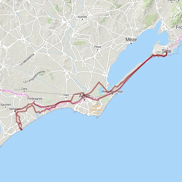
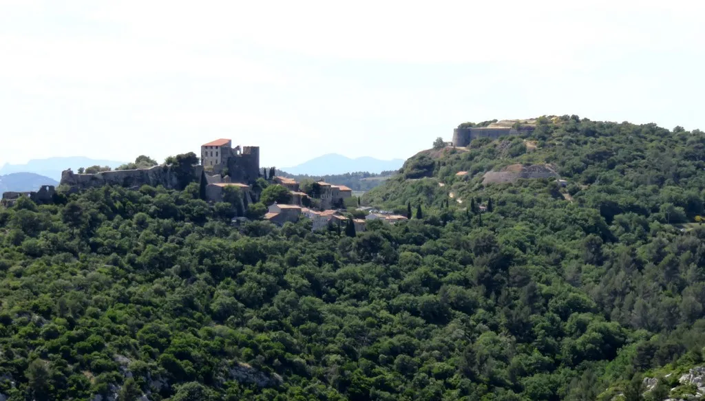
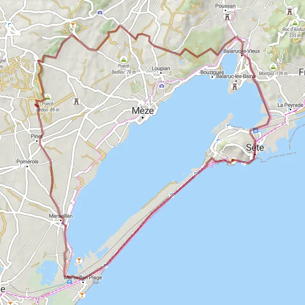
Embark on an extraordinary gravel cycling adventure through the scenic landscapes of Languedoc-Roussillon.
This 100km gravel cycling route offers a thrilling riding experience with its challenging terrain and breathtaking highlights. With a total ascent of 197m, cyclists can expect a moderate level of difficulty while exploring attractions such as Fort Richelieu and Mont Saint-Clair.
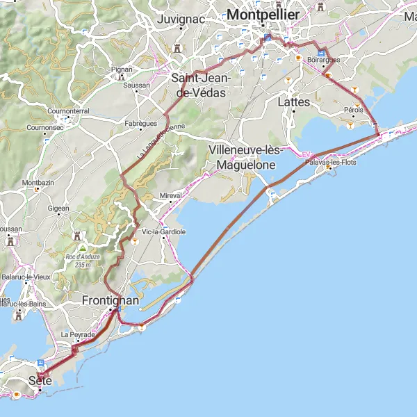
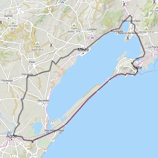
Experience the stunning coastline of Languedoc on this road cycling route
Discover the beauty of the Languedoc-Roussillon coastline on this scenic road cycling route. With an ascent of 295m and a distance of 72km, this route is perfect for road cyclists looking to enjoy the stunning coastal views and visit charming towns along the way. The difficulty level of this route is rated 2 out of 5, suitable for well-trained amateurs. The epicness rating is 2 out of 5, as it offers scenic coastal landscapes and cultural highlights throughout the ride.
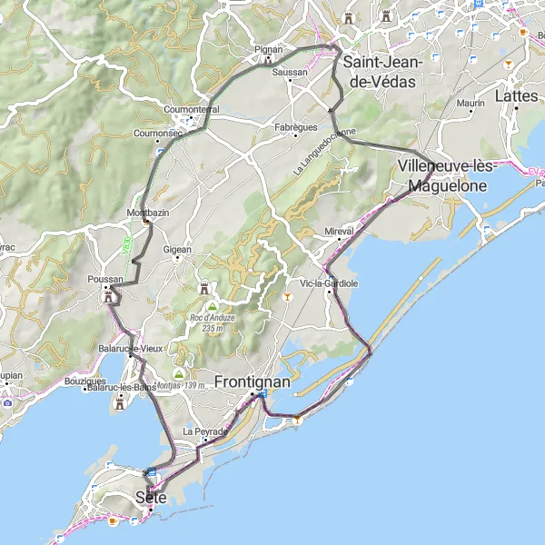
Experience the beauty of Mont Saint-Clair along this captivating road cycling route near Sète.
Discover the stunning coastal views and challenging terrains of Languedoc-Roussillon on this 68km road cycling route. With a total ascent of 263m, cyclists can enjoy a moderate challenge while exploring highlights such as Balaruc-le-Vieux and Mireval.
Cycling routes nearby:

Nearby regions: